Islip Saddle - South Fork - Vincent Gap - PCT Loop

TRs for the San Gabriel Mountains.
Post Reply
User avatar
Elwood
Posts: 612
Joined: Fri Aug 15, 2008 5:23 pm

Post by Elwood »

On Saturday morning, Mrs. Elwood unchained me from the shipping container where she keeps me and occasionally douses me with Clif Bars and Shot Bloks. I took advantage of my newfound freedom (actually she had to work and didn't mind my disappearing to the San Gabriels for the day) and hightailed it to Islip Saddle.

I arrived at the trailhead around 0620. After futzing with the GPS and SPOT for a few minutes, I set boot to trail and started my way down the five-ish miles and 2000 ft drop to South Fork Campground. 9W02 is in decent shape, save for a few new deadfalls and the usual airy sections. It's probably not the best trail for folks unaccustomed to crossing small slides or prone to vertigo. As best I could tell, I had the entire trail to myself. After passing the rock graffiti , I crossed the creek and sat down for a brief snack near one of the group camp firepits. While watching a striped racer slither across the ground, I was treated to the sounds of folks making camp in South Fork.

After fifteen minutes it was time to hoof it up the switchbacks and across the lovely Manzanita Trail to Vincent Gap. Manzanita (10W09?) is in great shape. Many thanks to whoever is making repairs above Paradise Springs. Minor curses upon the MTB tires that are furrowing the uphill trail edge, forcing foot traffic towards the downslope edge. There is plenty of water running in the major drainages of Mount Baden-Powell along this trail. I arrived at Vincent Gap at noon, and got Mrs. Elwood on the radio to let her know that all was well and that I was on-schedule. There is an amateur radio repeater on Blue Ridge that lets me talk to my Wife in Ventura County using my little 1-watt handheld radio.

Following a handful of dried apricots and another Clif Bar, I was headed up the Pacific Crest Trail towards the Baden-Powell summit. Now twelve miles into the day, I found myself needing to take few brief rest stops along the way. There were lots of folks headed down (the parking lot was full), and I made a point of saying 'hi' to every one of them. The trail disappeared under snow in several spots. Some was easily kicked in to, some easily bypassed without undue terrain damage. I had Yaktrax in my pack, but never really needed to put them on my boots.

I spent a few minutes gazing down Mine Gulch (one of my favorite locations in the Gabes), then sat for a spell by the Waldron tree and had another snack. With only seven miles or so to go, I was looking forward to the beautiful traverse past Burnham, Throop, Hawkins and Islip. I kept leapfrogging a friendly trio of PCT hikers while enjoying the views north towards the desert and south towards the various forks of the San Gabriel River. I encountered a mountain biker on the PCT and gently reminded him of the cycle prohibition. I have nothing against cyclists by-the-way, though I really don't appreciate the unambiguous damage done to hiking trails.

There were a couple of spots where snow still covered the PCT and foot traffic generally went up-ridge to get around it. I made Little Jimmy around 1750 and feasted there on dried cherries while enjoying the banter of some nearby through-hikers setting up for the night.

I arrived back at my car around 1840, sent Mrs. Elwood a SPOT 'OK' message, and began the drive home.


Image
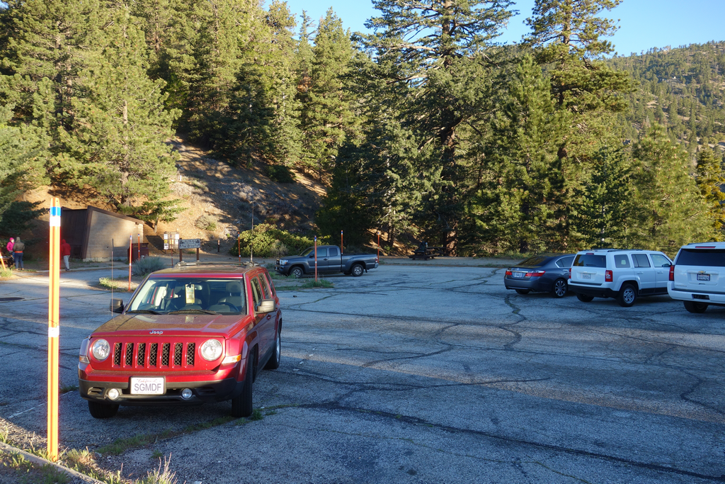
A fairly empty Islip Saddle parking lot ~0630 PDT.

Image
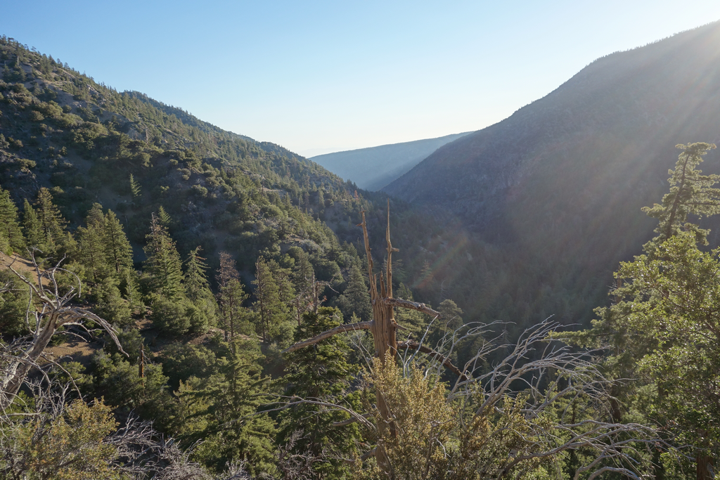
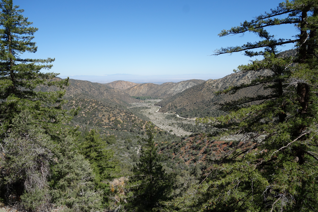
View down canyon towards Pinyon Ridge.

Image
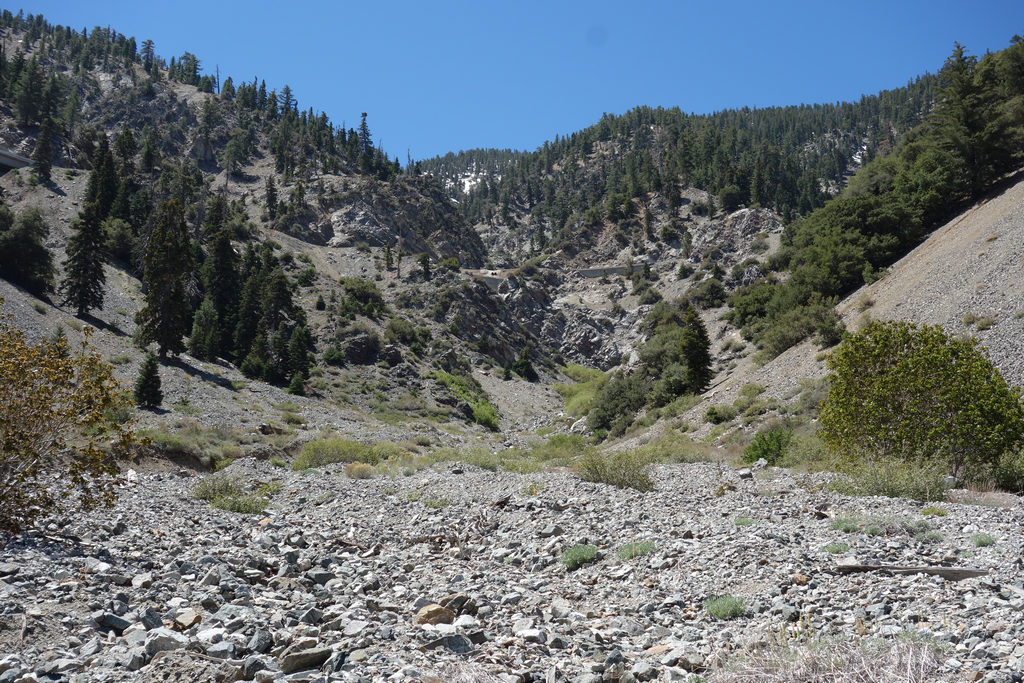
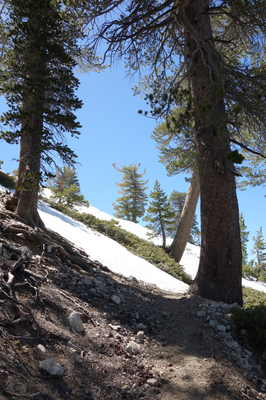
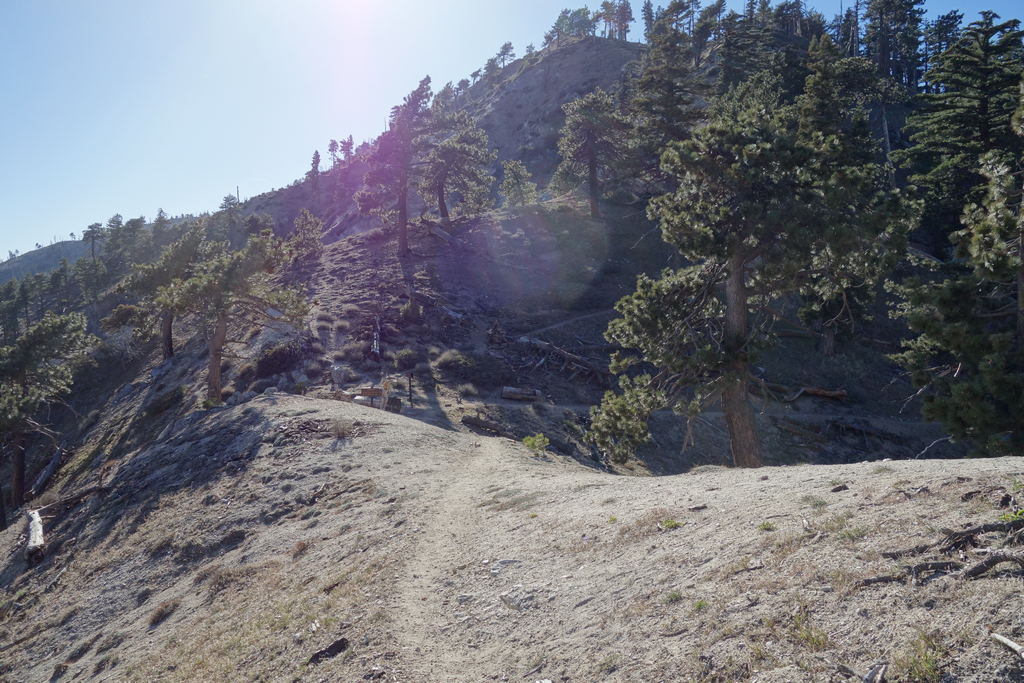
South Fork Trail 9W02 fairly close to Islip Saddle.
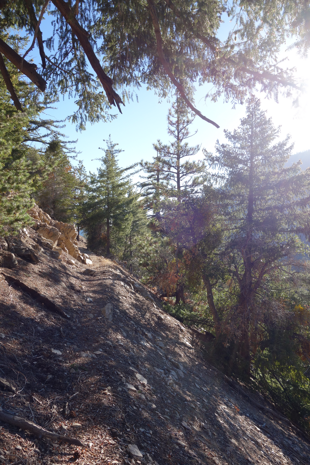
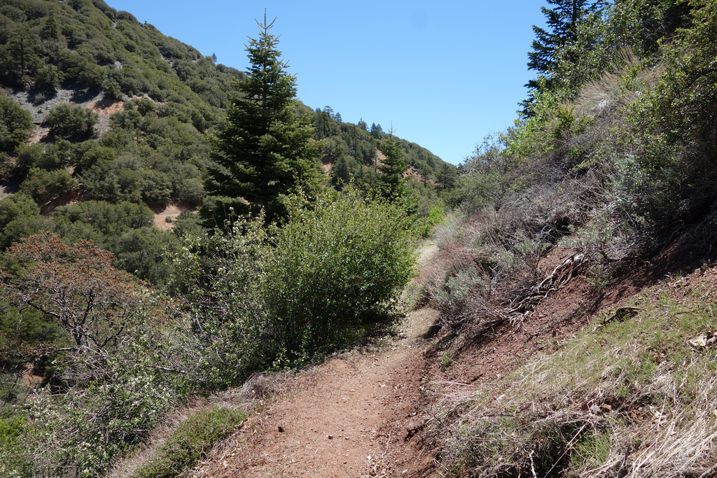
Image
More 9W02 ~0801PDT.

Image
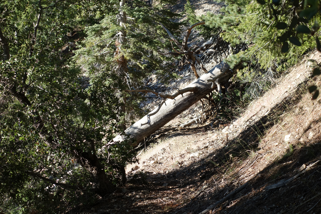
One of several deadfalls along South Fork Trail, all easily navigated around.

Image
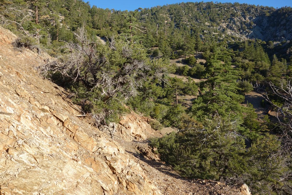
View back towards Islip Saddle.

Image
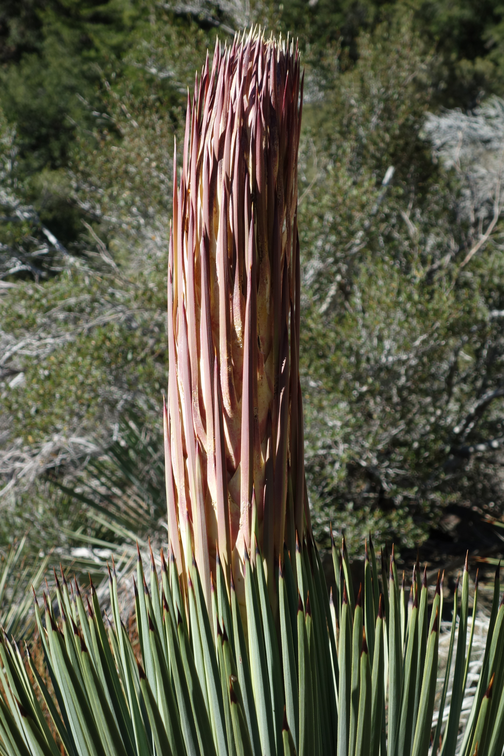
Future painful holes in my pants and legs.

Image
Quite a bit of water flowing towards Big Rock Creek.

Image
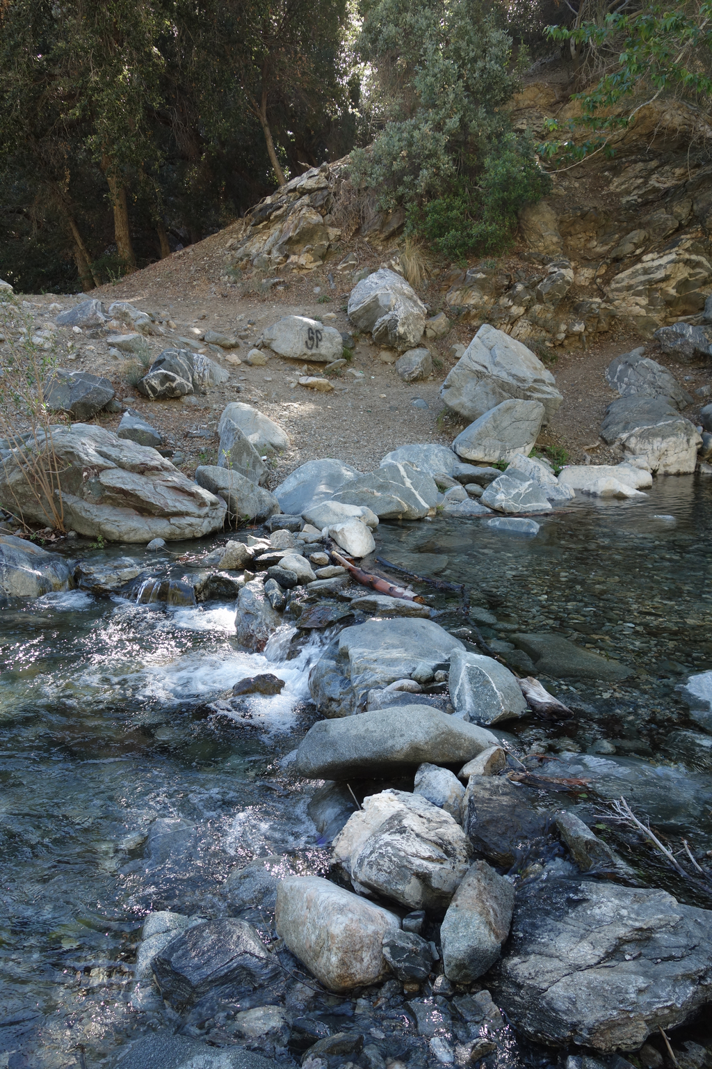
Impromptu dammed crossing near South Fork Campground.

Image
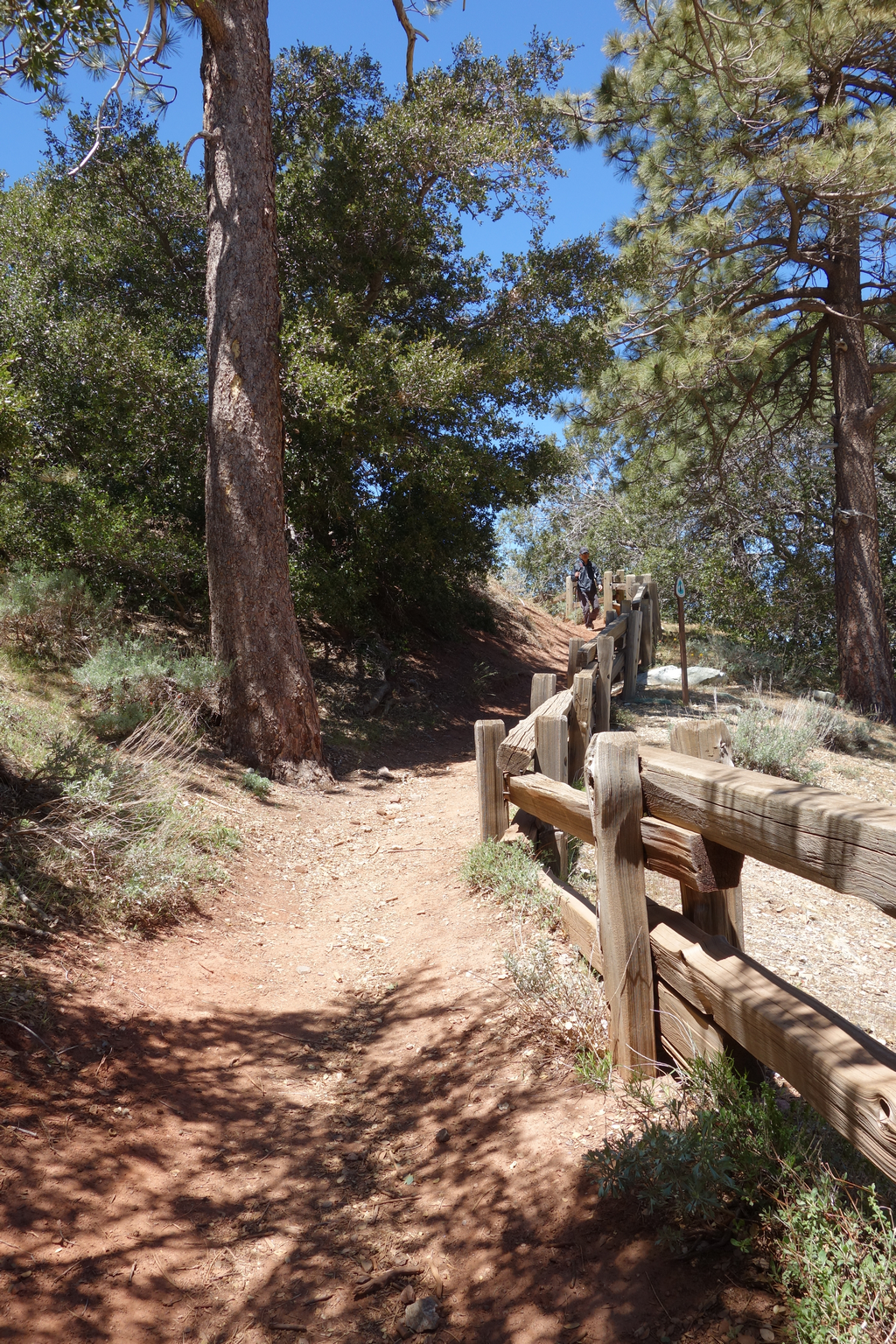
View towards the campground and the High Desert Trail (10W09).

Image
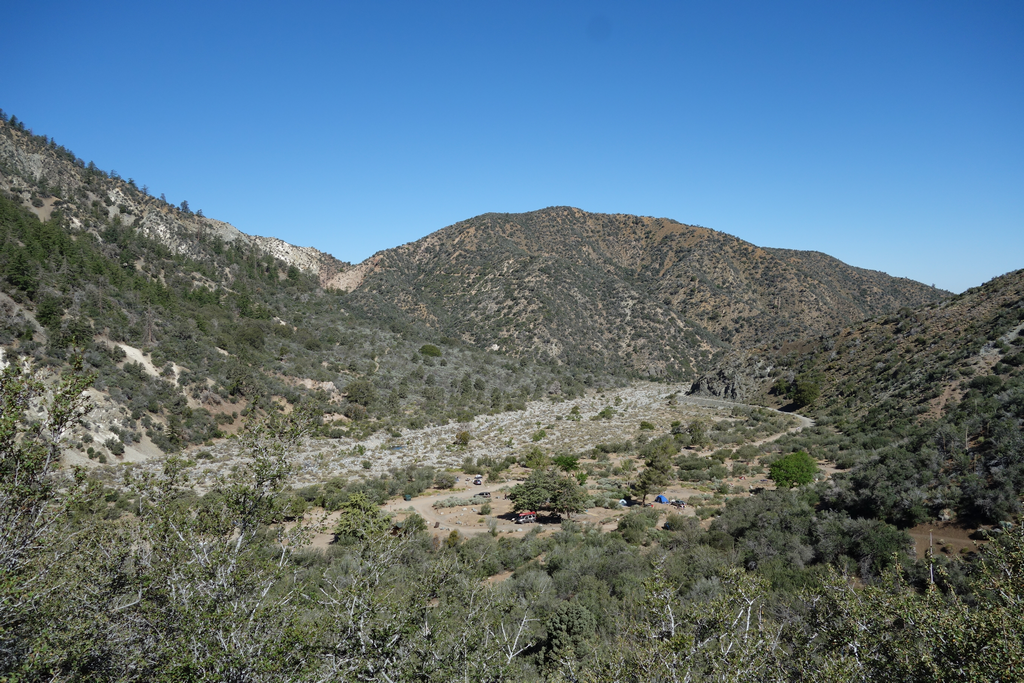
Saturday morning crowd setting up camp on South Fork. Place will be a zoo in a couple of weeks for Memorial Day.

Image
Present rendition of Paradise Springs.

Image
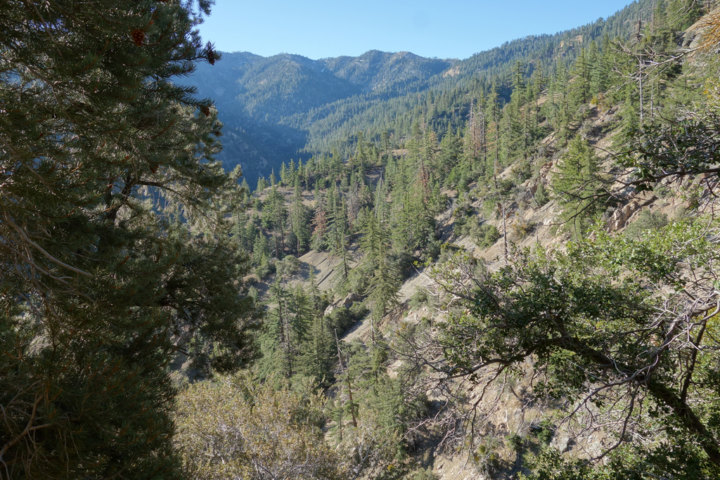
Big Rock Creek, looking West along Pinyon Ridge.

Image
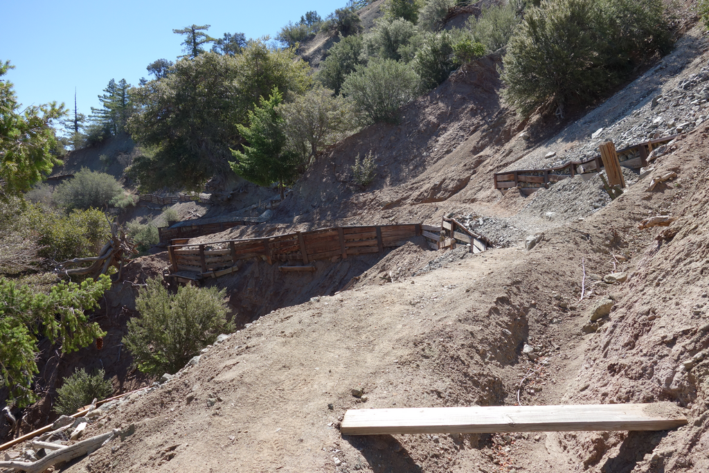
Interesting reinforcement along the Manzanita Trail above Paradise Springs.

Image
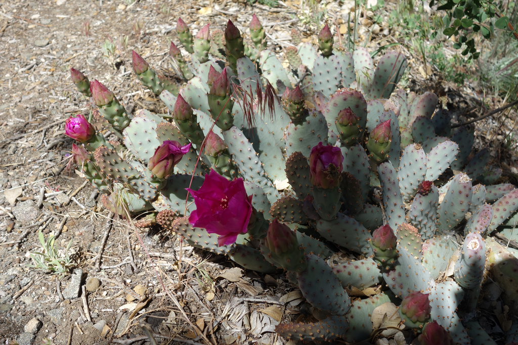
Opuntia basilaris in flower along the Manzanita Trail, near Dorr Canyon crossing.

Image
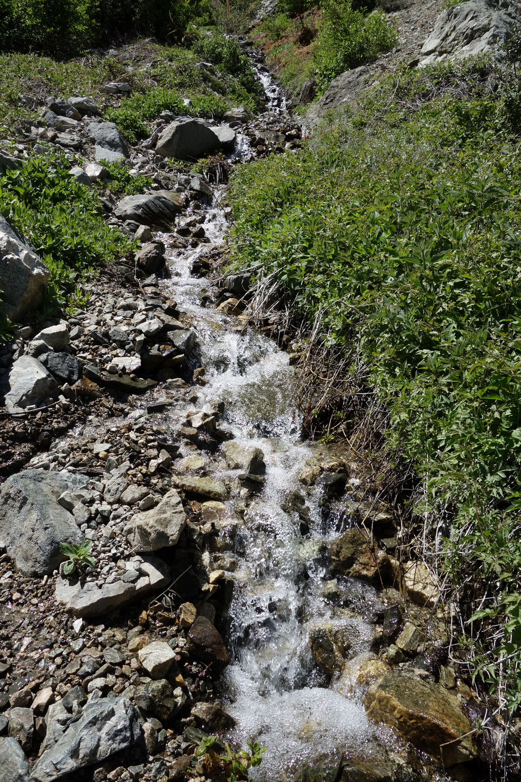
Loads of water flowing down Dorr Canyon.

Image
Big drainage from Mount Baden-Powell. Odd to think I'll be atop the far-off snowy part in a few hours.

Image
Manzanita Trail as is climbs up to Vincent Gap.

Image
Starting up PCT to Mount Baden-Powell.

Image
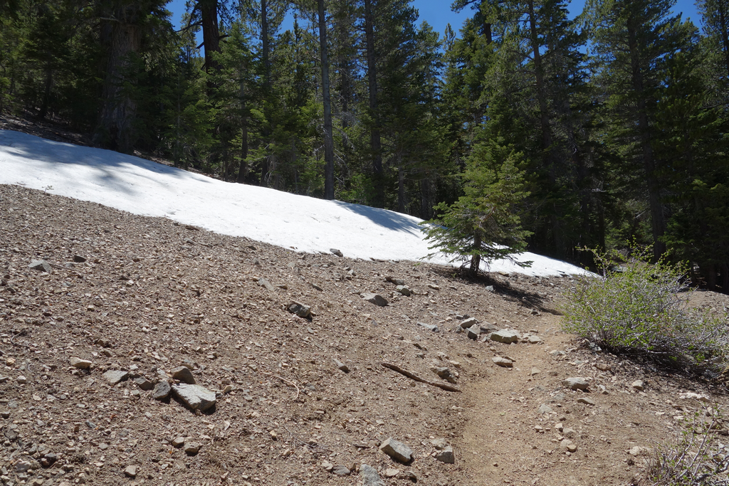
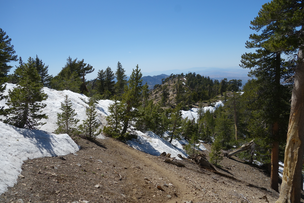
Awesome to be seeing snow in May up here... around 7,400 ft.

Image
Majority of snow patches could be negotiated in boots or bypassed.

Image
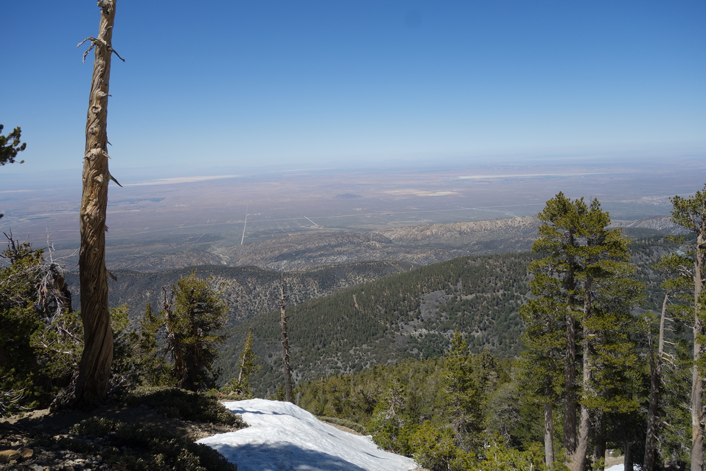
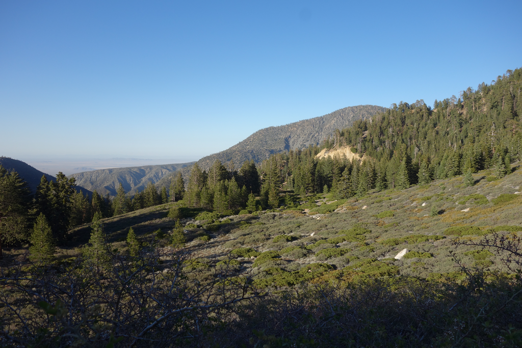
Nice views to be had of the High Desert.

Image
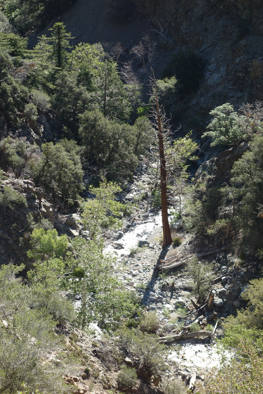
Big Rock Creek and beyond, as seen from the upper reaches of the PCT near Mt. Baden-Powell.

Image
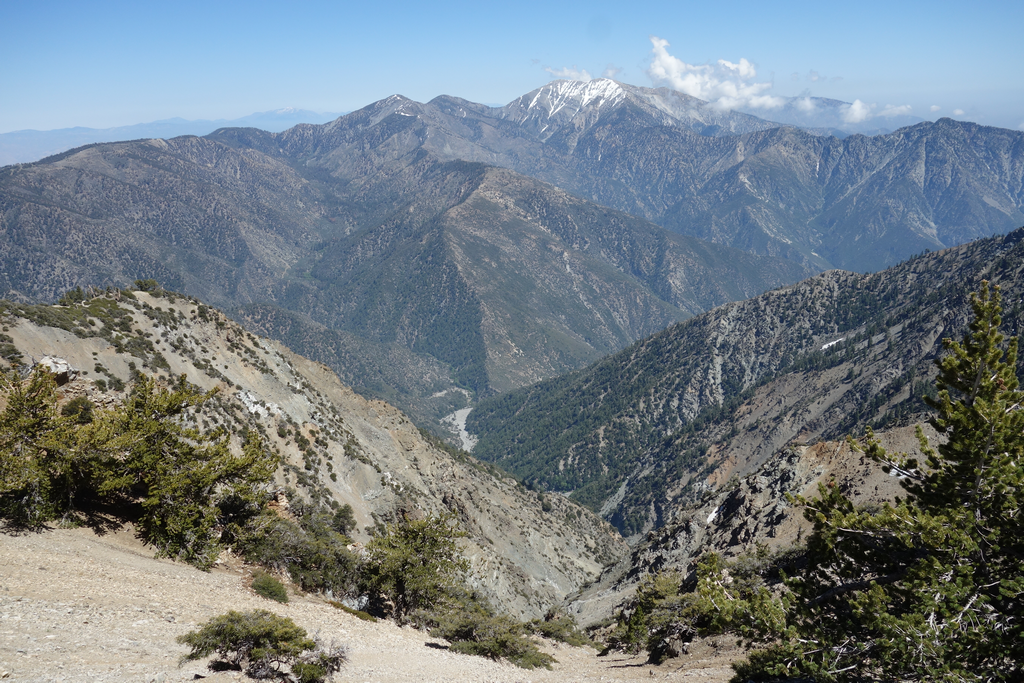
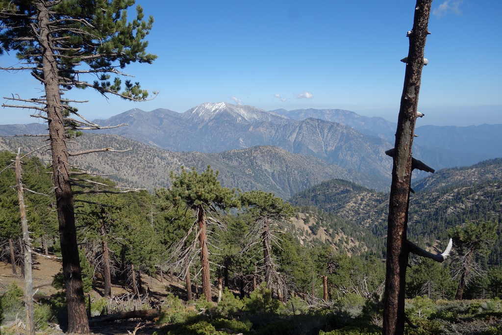
Mine Gulch, Blue Ridge, Pine Mountain, Dawson, San Antonio, S.A. Ridge, and Iron Mountain.

Image
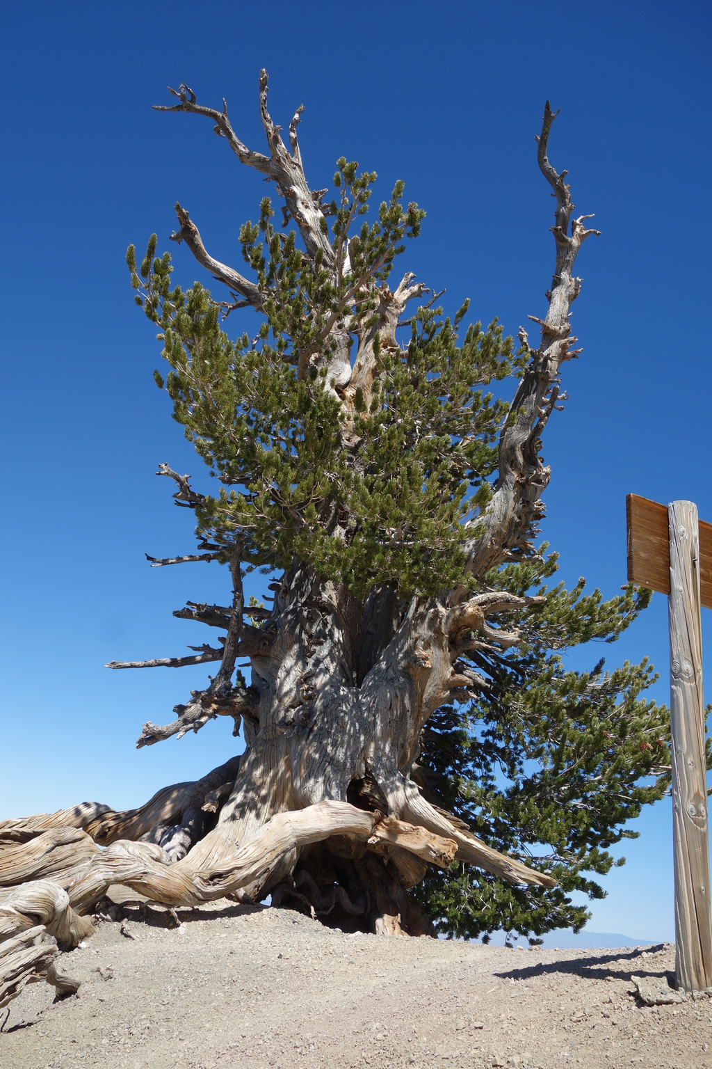
Pinus flexilis "Wally Waldron". Beautiful old Limber Pine just south of the PCT / B.P. summit trail split.

Image
Baden-Powell's ridge descending to the west, and the PCT intersecting the seasonal snowfield.

Image
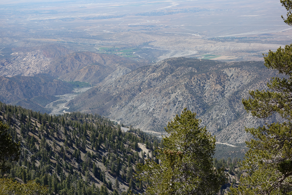
View eastward over Iron Fork and the East Fork. Cucamonga/ Etiwanda visible in the distance.

Image
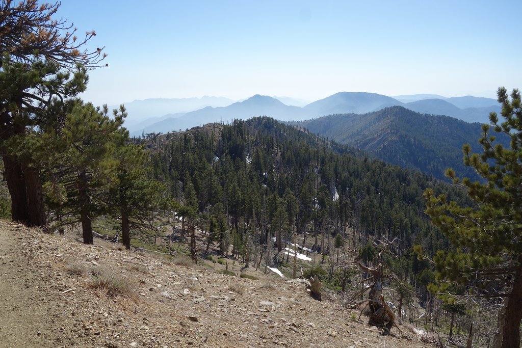
Mts. Hawkins and Islip come in to view as I plow westward.

Image
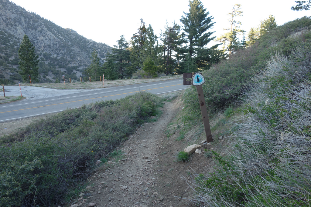
Windy Gap and the trails to Little Jimmy, Crystal Lake and Mt. Islip.

Image
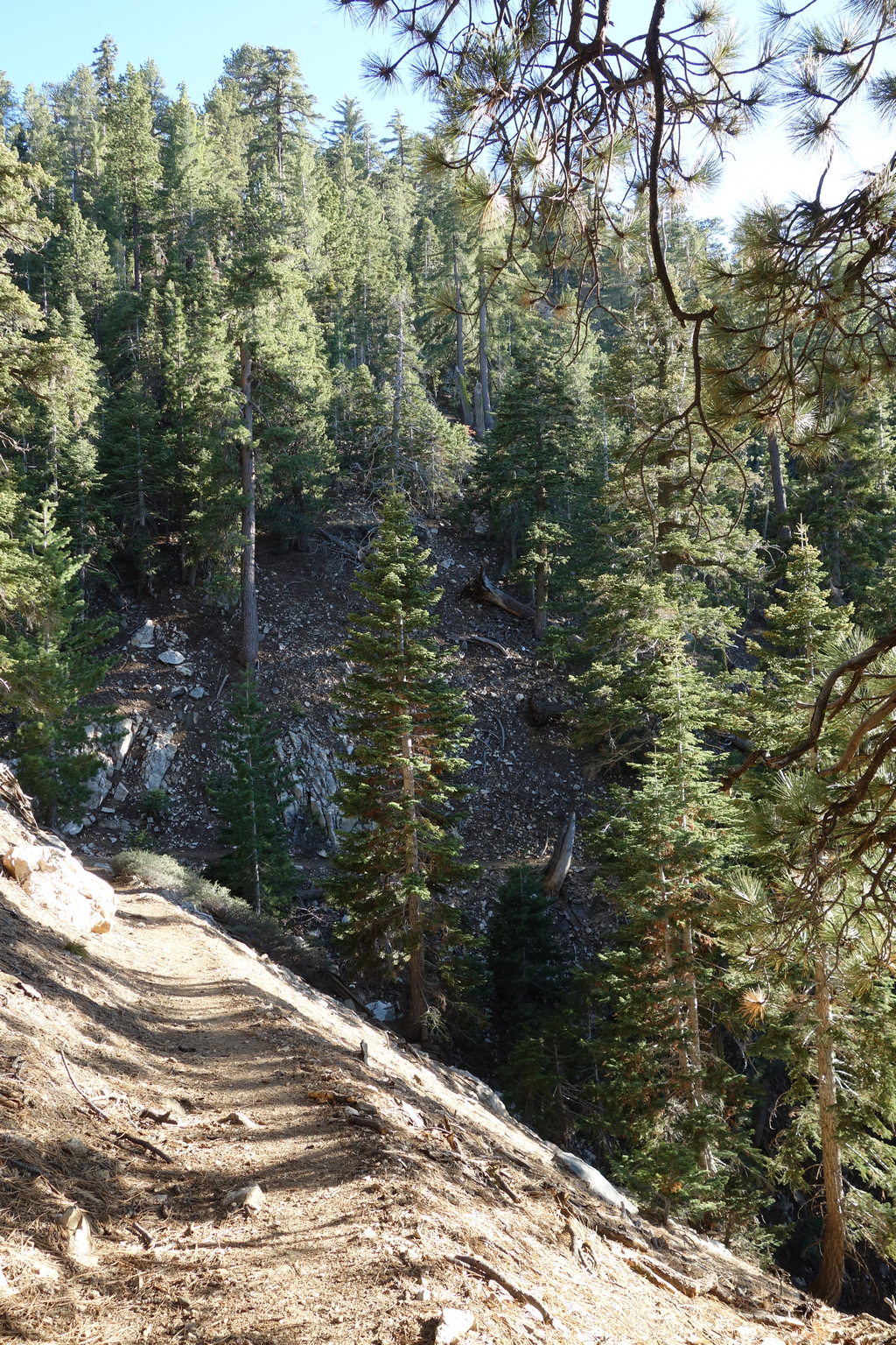
Pacific Crest Trail between Little Jimmy and Islip Saddle.

Image
Big ceanothus field near Islip Saddle.

Image
End of another lovely day hiking.

Image
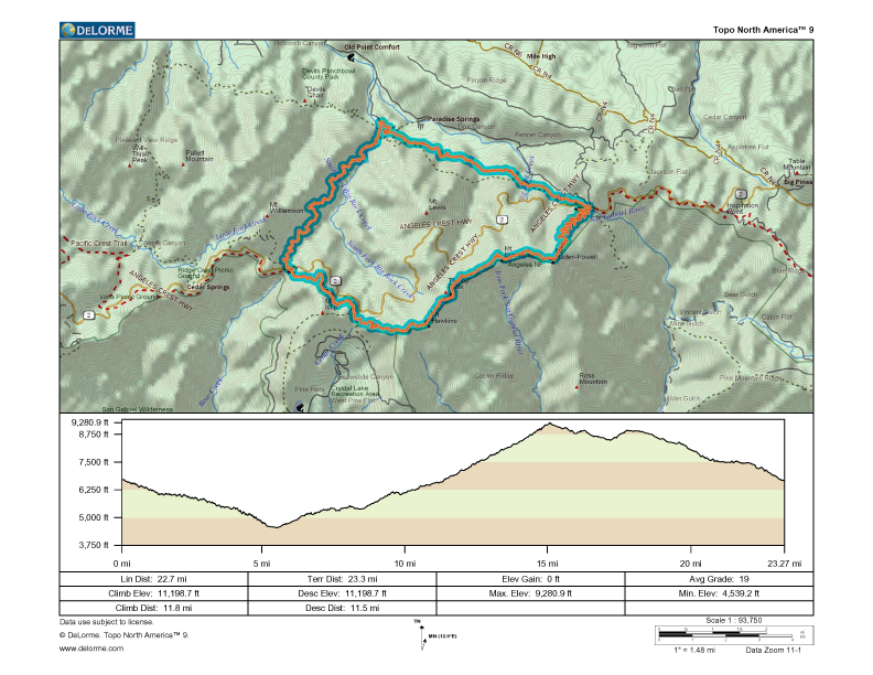
GPS track elevation profile.

Image
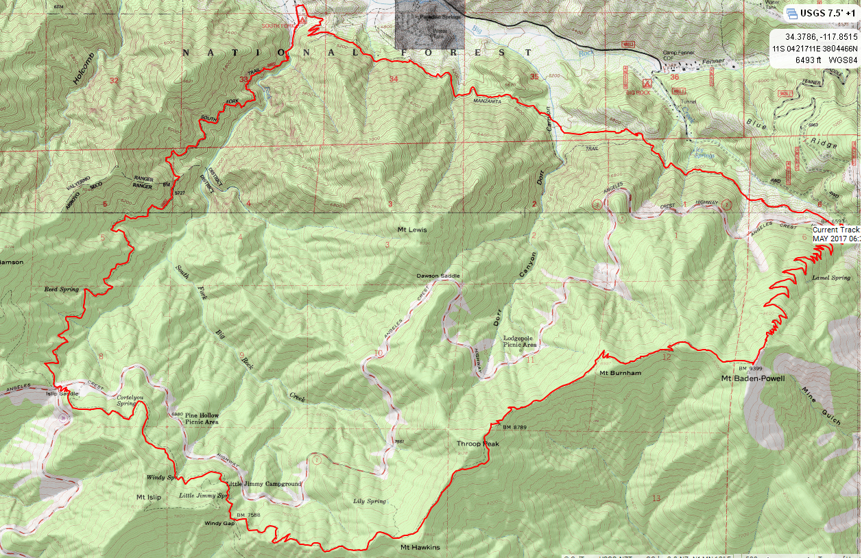
GPS track overlaid on USGS topographic map.
User avatar
HikeUp
Posts: 3861
Joined: Thu Sep 27, 2007 9:21 pm

Post by HikeUp »

Yay! An Elwood casual 24 mile hike TR. Nice license plate!
User avatar
Uncle Rico
Posts: 1402
Joined: Thu Mar 20, 2008 7:48 pm

Post by Uncle Rico »

Elwood out of the box!

Very nice. I've contemplated that loop but don't know if I could make it. Am I reading your elevation profile correctly that the loop involves 11k+ of gain? :shock:

Nice crisp images. What are you shooting with?
User avatar
Elwood
Posts: 612
Joined: Fri Aug 15, 2008 5:23 pm

Post by Elwood »

I'm not sure that I understand how 'TOPO' v9 interpolates the gpx / position data from my GPS. Although it sure felt like 11K, max - min was only ~ 4,741 ft. Whenever it's time to replace my hiking camera (I usually get around five years out of one), I look for the most affordable good glass in a point-and-shoot package. This one is a Sony RX100, last one was a Canon G1. For what it's worth, the original images are 5472 x 3648, I scale them for posting to a fixed 1024 pixel width using the Lanczos3 filter in FastStone.
User avatar
HikeUp
Posts: 3861
Joined: Thu Sep 27, 2007 9:21 pm

Post by HikeUp »

This has to be the record for NHPS near peak bagging count in a single hike - you successfully missed BP, Throop, Hawkins, Islip and you could even argue for Williamson! Oh and Burnham too!
User avatar
Sean
Cucamonga
Posts: 3787
Joined: Wed Jul 27, 2011 12:32 pm

Post by Sean »

Thanks for the great write-up and pics. I've been looking at this loop too, or at least doing the stretch between South Fork and Vincent Gap, which would be new for me. But I only get about 5k gain for the whole loop. South Fork to Vincent Gap is 2025'. Vincent Gap to PCT is 2716'. There is about 300' between BP and Throop, if you don't do the summits. That's only 5011' gain. Assuming a few hundred more miscellaneous feet of gain, and maybe we get 5.5k. But 11k seems way off to me. Am I missing something? I don't have any significant gain on the South Fork Trail or the PCT between Throop and Islip Saddle.
User avatar
Elwood
Posts: 612
Joined: Fri Aug 15, 2008 5:23 pm

Post by Elwood »

I also missed Lewis.
User avatar
Tom Kenney
Posts: 371
Joined: Sat Sep 29, 2007 7:51 pm

Post by Tom Kenney »

Bike tires are not the culprit. Some industrious soul has been 'trenching' the uphill edge of the trail.
User avatar
Elwood
Posts: 612
Joined: Fri Aug 15, 2008 5:23 pm

Post by Elwood »

Interesting note regarding trenching. For what it's worth, the only bike I saw on Manzanita was in fact riding the trench.
User avatar
RichardK
Posts: 727
Joined: Sun Sep 30, 2007 12:33 pm

Post by RichardK »

Just another Elwood epic. Great report. Thanks!
User avatar
HikeUp
Posts: 3861
Joined: Thu Sep 27, 2007 9:21 pm

Post by HikeUp »

Elwood wrote: I also missed Lewis.
Now you're just bragging and padding your stats! :lol:
User avatar
Mike P
Posts: 1005
Joined: Tue Oct 02, 2007 10:48 pm

Post by Mike P »

Nice, Elwood! Good to see your report. We are thinking about doing South Fork to Vincent Gap in a couple of weeks or so. Thanks for the info!
User avatar
Hikin_Jim
Posts: 4686
Joined: Thu Sep 27, 2007 9:04 pm

Post by Hikin_Jim »

Nice TR. Thanks for the beta, especially the photos of water in Dorr Canyon and S. Fork. I'm thinking about backpacking there soon and am (of course) very interested in water. Given my lightning fast hiking times, I plan on three days where @Elwood took one. I'm just as fast as Elwood of course. I just don't like to show off. (yeah, right). lol.

HJ
User avatar
HikeUp
Posts: 3861
Joined: Thu Sep 27, 2007 9:21 pm

Post by HikeUp »

Hikin_Jim wrote: Nice TR. Thanks for the beta, especially the photos of water in Dorr Canyon and S. Fork. I'm thinking about backpacking there soon and am (of course) very interested in water. Given my lightning fast hiking times, I plan on three days where @Elwood took one. I'm just as fast as Elwood of course. I just don't like to show off. (yeah, right). lol.

HJ
Just making sure that you noticed this is an old TR...not current.
User avatar
Hikin_Jim
Posts: 4686
Joined: Thu Sep 27, 2007 9:04 pm

Post by Hikin_Jim »

@HikeUp , thanks. Yes, 2017. Reasonably current I thought.

Errata: The photo identified as "Dorr Canyon" is not. It is the canyon above Icy Springs. The photo identified as "big drainage" is Dorr Canyon. Perhaps @Elwood would want to update for accuracy's sake.

By the way, there was no water at Dorr Canyon on Saturday, 26 May.


HJ
User avatar
tekewin
Posts: 1195
Joined: Thu Apr 11, 2013 5:07 pm

Post by tekewin »

Cool loop!
Post Reply