
We parked at Simmler Rd and Soda Lake Rd, among many folks taking photos.
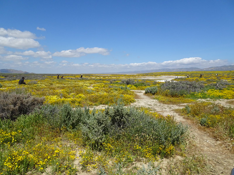 DSC00606 by moore91024, on Flickr
Started up Simmler Rd. toward Elkhorn Rd. It was iffy for cars, but some were going through. No problem for bikes.
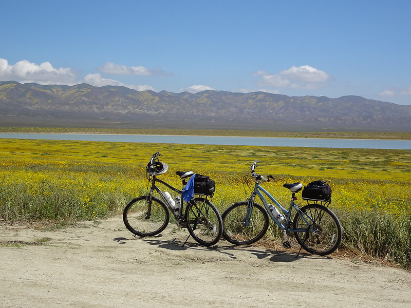 DSC00614 by moore91024, on Flickr
We originally planned to just go to the Wallace Creek site to see the San Andreas, maybe a little farther down Elkhorn Rd and back the way we came, but once there, decided to have a little ambition and make it a loop.
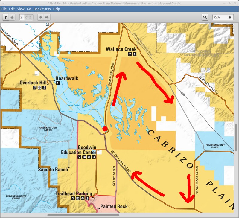 cpnm by moore91024, on Flickr
Elkhorn Rd. and the unnamed "Unmotorized only" road (dotted gray line) were in fine shape for bikes. Panorama Rd. was another story, muddy in spots and just REALLY soft in others. At times it felt like I was dragging a plow!
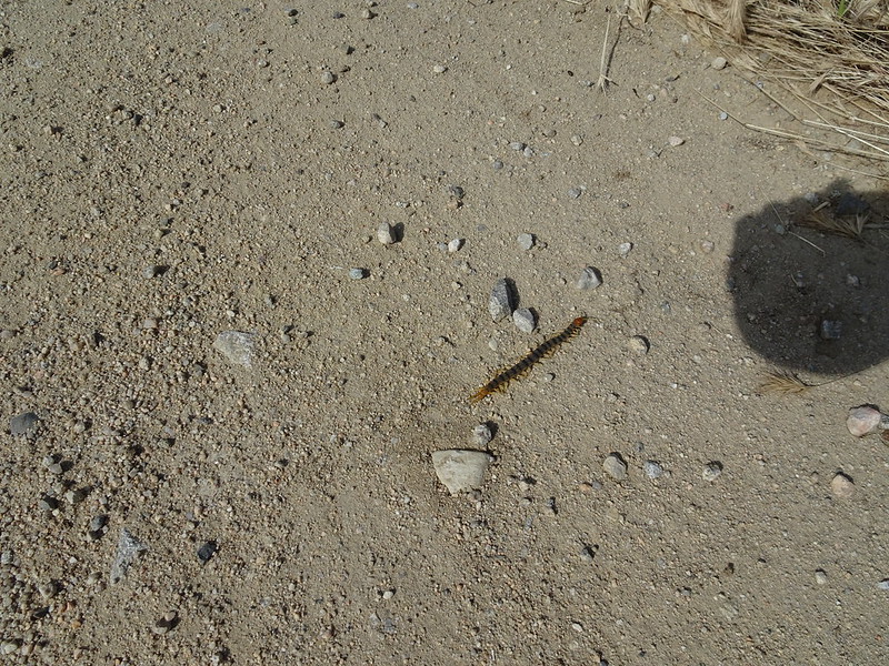
We saw a centipede as it dried out approaching Soda Lake Rd. Common Desert Centipede, perhaps?
 DSC00617 by moore91024, on Flickr
We had to share Soda Lake Rd with some fast-moving cars going back, but not too many of them. Distance markings on the maps are lacking and we haven't yet processed the GPS track, but we think it was about 30 miles. Interesting place, and biking is a great way to do it. Thanks Dima for the info!