Carrizo Plain and Caliente Peak
This weekend I went to the Carrizo Plain to seek flowers and to see what else I could find. I brought a bike and turned this into a mini tour.
The plain and hills are really green!
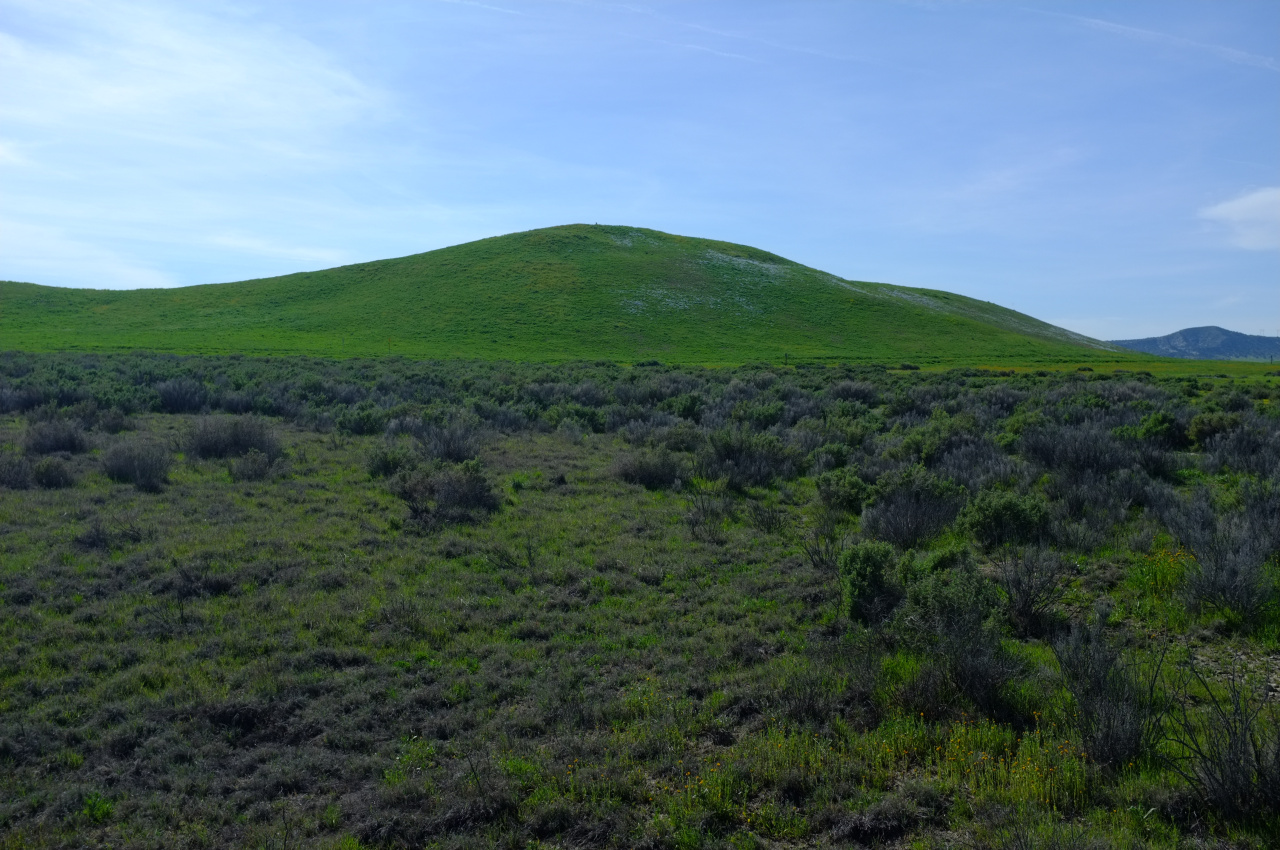
And what isn't green is yellow, orange and purple:
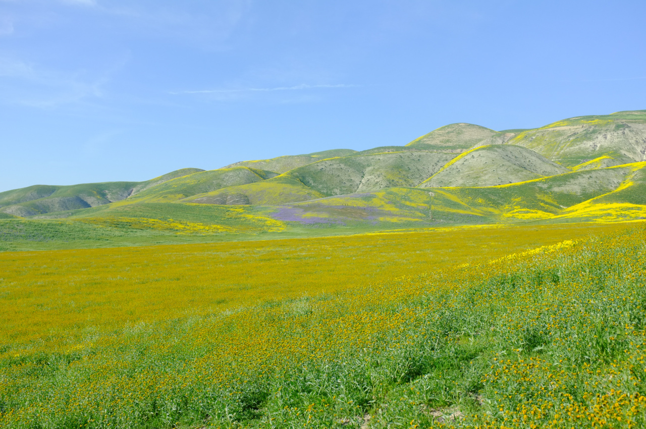
Mostly yellow. Those flowers are going, but the purple and orange ones are still a bit sparse. Next week would probably be better, but I'm really not complaining:
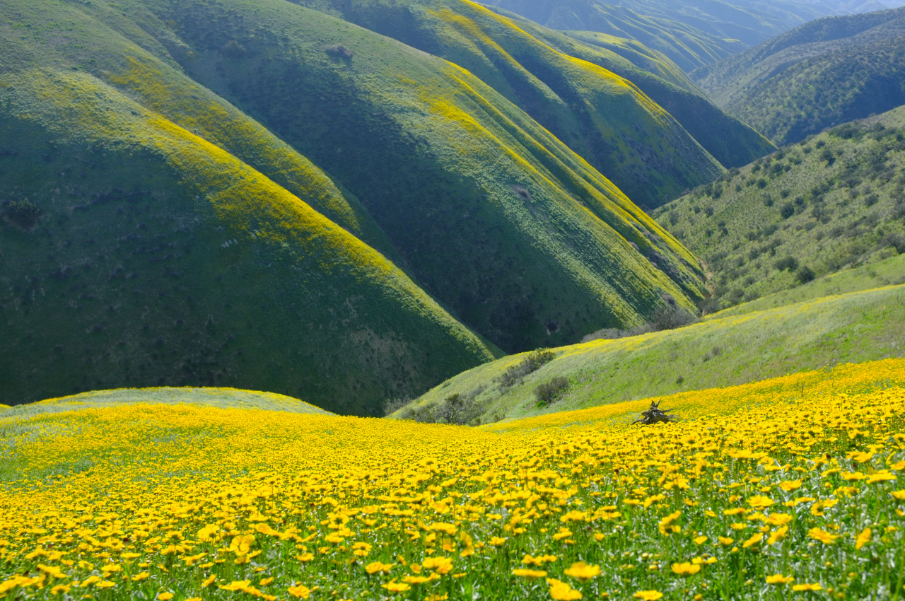
I started riding on the North end of Soda Lake, which actually has some water in it. Found a herd of Tule Elk and an owl of some sort. Then I checked out some snazzy old farming equipment
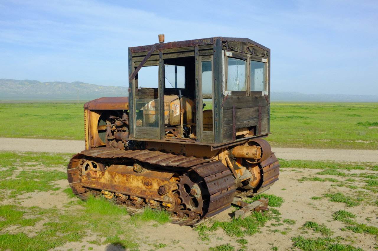
and decided to climb a mountain. The road up to Caliente Ridge is in great shape. I climbed up to the gate on top of the ridge and camped for the night. The next day was full of glorious morning views of the Cuyama River valley
The route to the peak is closed to vehicles, but consists of an old dirt road. It starts in decent shape, but gets more and more challenging to cycle as you get closer to the peak, 8 miles away. Walking it would be fine. You pass by an old rancher's trailer
and by some fossils
and eventually you can see the peak
The structure on top is no longer standing
but at least there's a register and you can wonder if Mars Bonfire had any fun hiking this route 4 times in 11 days AFTER having already been there 21 times.
Or you can look back on Soda Lake
and the flowers
This is a cool mountain. Bicycle recommended. MOUNTAIN bicycle with beefy tires especially recommended.
The plain and hills are really green!
And what isn't green is yellow, orange and purple:
Mostly yellow. Those flowers are going, but the purple and orange ones are still a bit sparse. Next week would probably be better, but I'm really not complaining:
I started riding on the North end of Soda Lake, which actually has some water in it. Found a herd of Tule Elk and an owl of some sort. Then I checked out some snazzy old farming equipment
and decided to climb a mountain. The road up to Caliente Ridge is in great shape. I climbed up to the gate on top of the ridge and camped for the night. The next day was full of glorious morning views of the Cuyama River valley
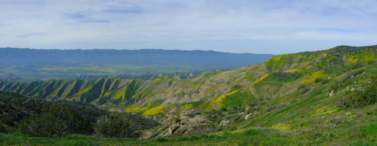
The route to the peak is closed to vehicles, but consists of an old dirt road. It starts in decent shape, but gets more and more challenging to cycle as you get closer to the peak, 8 miles away. Walking it would be fine. You pass by an old rancher's trailer
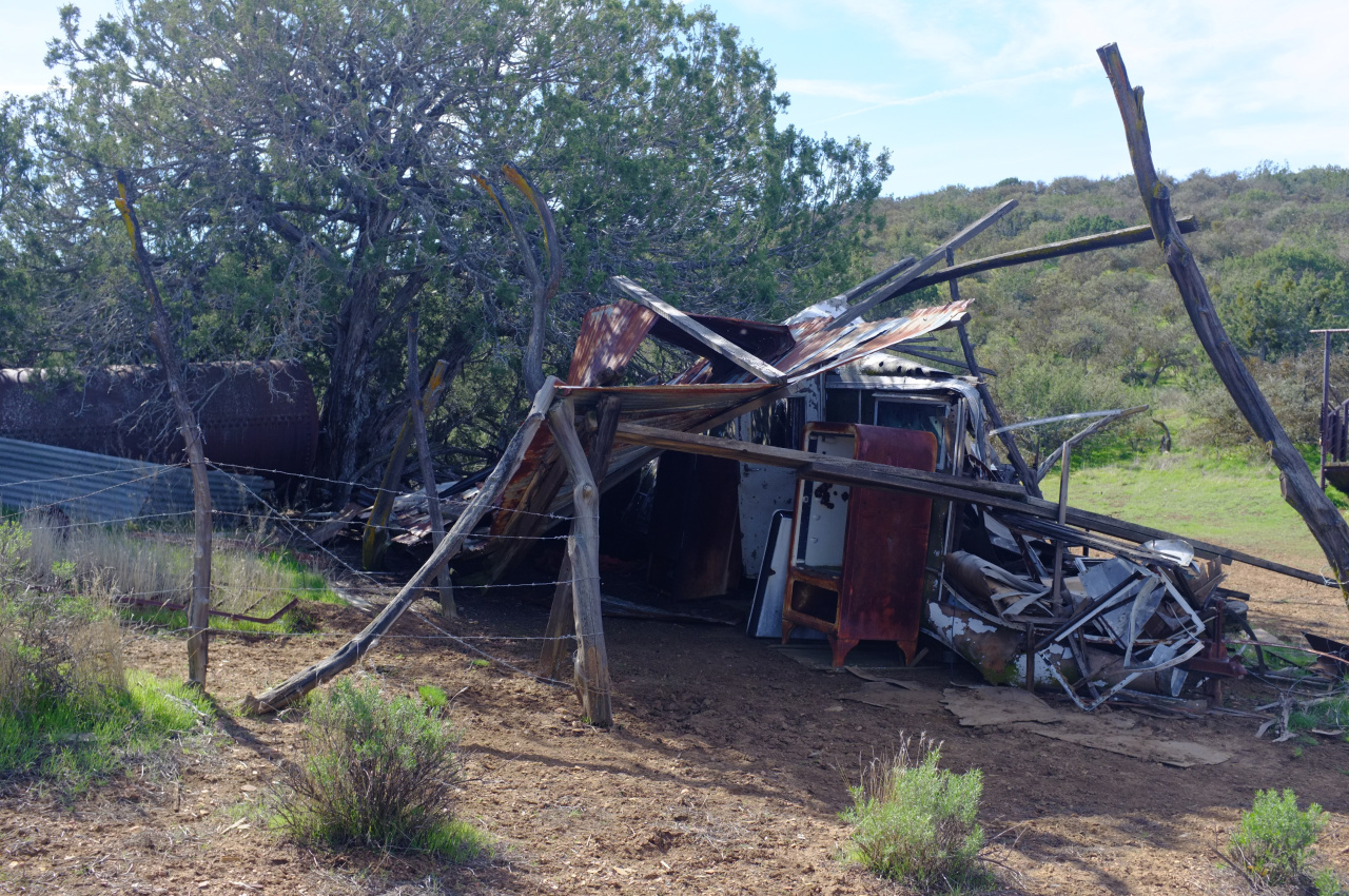
and by some fossils
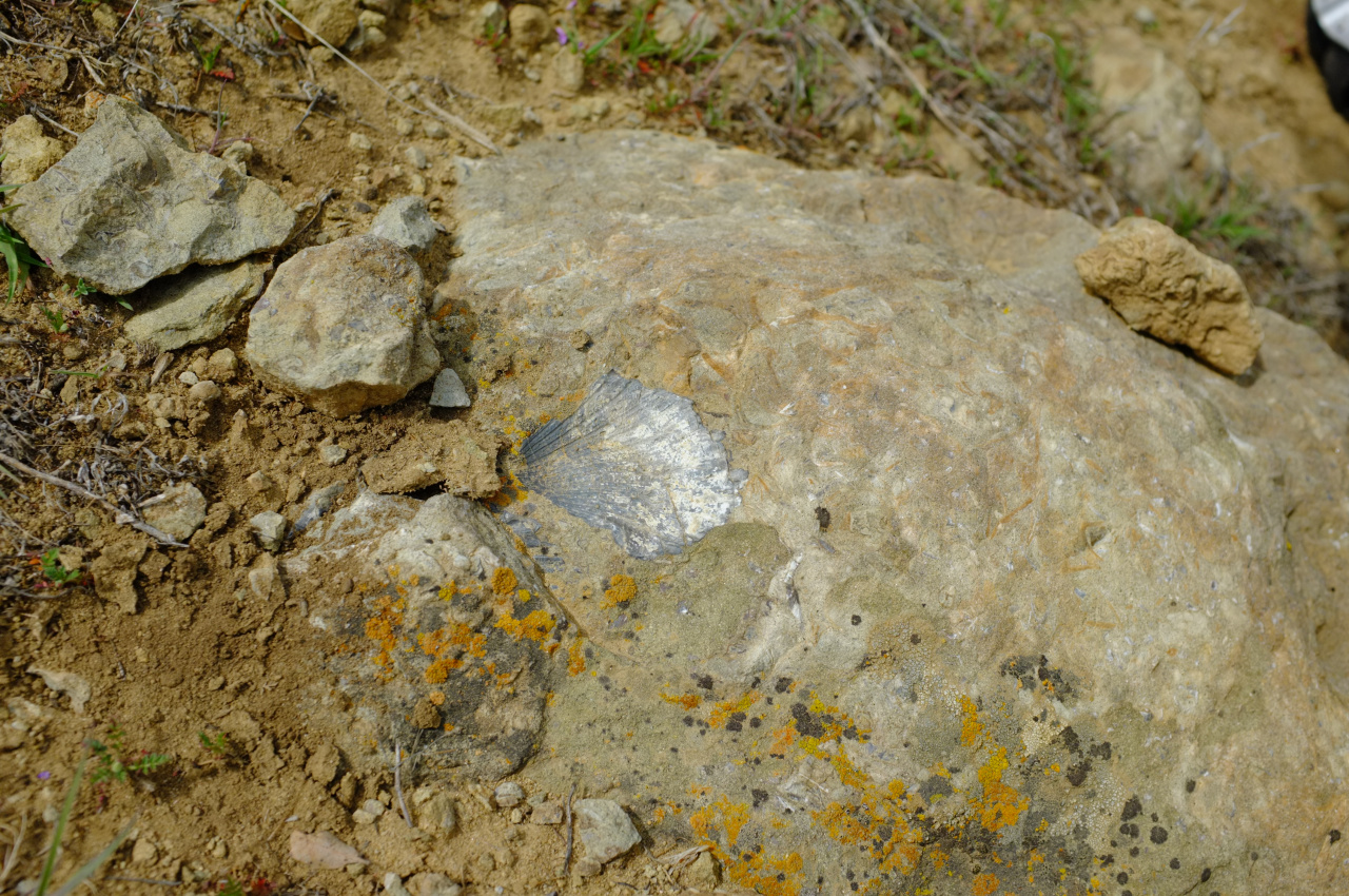
and eventually you can see the peak
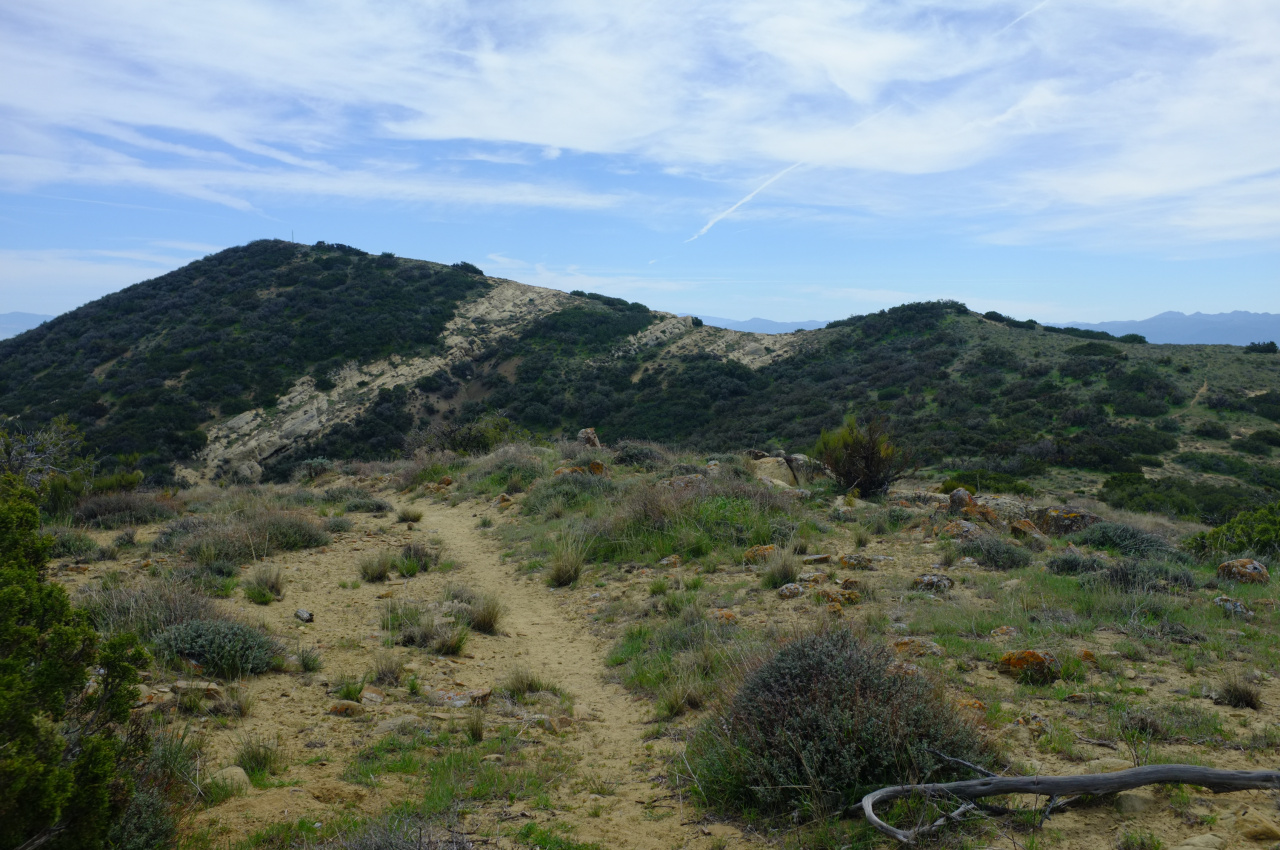
The structure on top is no longer standing
but at least there's a register and you can wonder if Mars Bonfire had any fun hiking this route 4 times in 11 days AFTER having already been there 21 times.
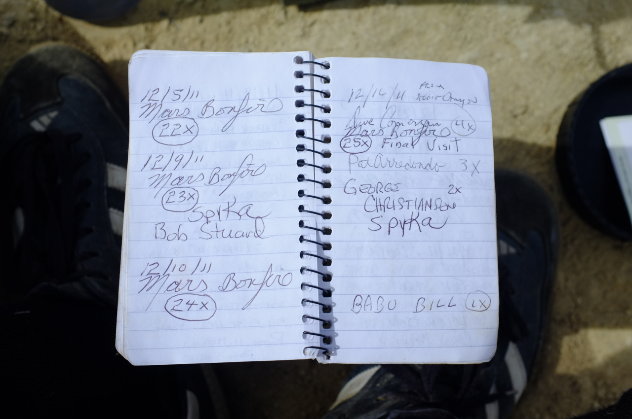
Or you can look back on Soda Lake
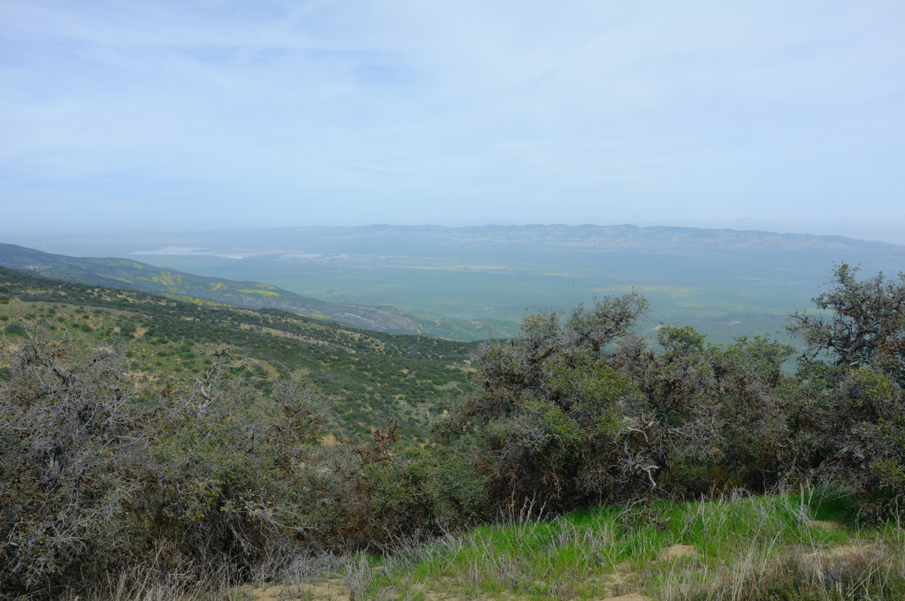
and the flowers
This is a cool mountain. Bicycle recommended. MOUNTAIN bicycle with beefy tires especially recommended.
- Girl Hiker
- Posts: 1403
- Joined: Fri Apr 04, 2014 7:46 am
- Contact:
- Uncle Rico
- Posts: 1439
- Joined: Thu Mar 20, 2008 7:48 pm
Beautiful pics dima. You always seem to find the most interesting places to visit.
- Slowest_Hiker
- Posts: 257
- Joined: Sun Jul 31, 2011 12:31 pm
Will be in SLO county on vacation and maybe we can catch the end of the bloom. Can I get some more beta on biking around Soda Lake?
Where to park, any recommended loops, etc? Your ride from the north end of the lake to Caliente peak looks like more than we are looking for. More like 15-25 mi would probably be the right range depending on difficulty. We'll be coming in from the north (Hwy 58 ). We've certainly taken the car on roads we probably shouldn't have, but trying not to be too stupid these days.
We have hybrids with these tires and we are used to local fire roads (San Olene, Toll Road, Blue Ridge, the Spring Camp run from Monrovia Canyon park) but not into singletrack stuff; is the CPNM a bad idea for us?
Any info appreciated!
Hi. If you go now, you probably would get a better flower display than what I saw. All the roads I rode this time were in excellent shape (7-mile rd, roads around the visitor center, road to Selby camp and Caliente ridge). You bike and tires should be good enough to do roughly what I did. The road to Caliente Ridge is steep. It has been graded, but there're one or two washouts that would be questionable in a passenger car, although there were passenger cars on top, so it must be doable. For cycling, it's in fine shape. From the point where car traffic is gated off (here: http://www.openstreetmap.org/#map=19/35 ... -119.85136 ) the road becomes worse and worse, and eventually devolves into a single-track. There are some sandy sections, but mostly the issue is the rocks. If you go for the peak, expect to stash the bikes at some point, and walk. I rode to within maybe a mile of the peak, but that was further than I should have taken my bike.Slowest_Hiker wrote: ↑Will be in SLO county on vacation and maybe we can catch the end of the bloom. Can I get some more beta on biking around Soda Lake?
Where to park, any recommended loops, etc? Your ride from the north end of the lake to Caliente peak looks like more than we are looking for. More like 15-25 mi would probably be the right range depending on difficulty. We'll be coming in from the north (Hwy 58 ). We've certainly taken the car on roads we probably shouldn't have, but trying not to be too stupid these days.
We have hybrids with these tires and we are used to local fire roads (San Olene, Toll Road, Blue Ridge, the Spring Camp run from Monrovia Canyon park) but not into singletrack stuff; is the CPNM a bad idea for us?
If you want to do less climbing and more riding, you can do stuff in the plain. Riding around the lake would be fun: Soda Lake rd (paved), Simmler rd (rode last year; was in good shape), Elkhorn Grade rd (same), 7-mile rd (good shape). If you do that, you can check out Wallace creek, and maybe walk up into the Temblors a bit.
Oh, and be distrustful of maps when planning a trip in this area. There are many mapped roads here that don't exist, so do check the aerial imagery.
Post a TR when you get back!
- Slowest_Hiker
- Posts: 257
- Joined: Sun Jul 31, 2011 12:31 pm
Thanks, great info! I'm not there yet -- another weekish so I hope the blooms hold out. Now that I look again I see your ride is maybe within range, but on account of having a professional relationship with the San Andreas, that may favor Elkhorn Rd
If the weather cooperates I think this will happen Thanks!
You do know who Mars Bonfire is right? https://en.wikipedia.org/wiki/Mars_BonfireHayduke wrote: Mars Bonfire would be a great porn name.
https://en.wikipedia.org/wiki/Born_to_Be_Wild