

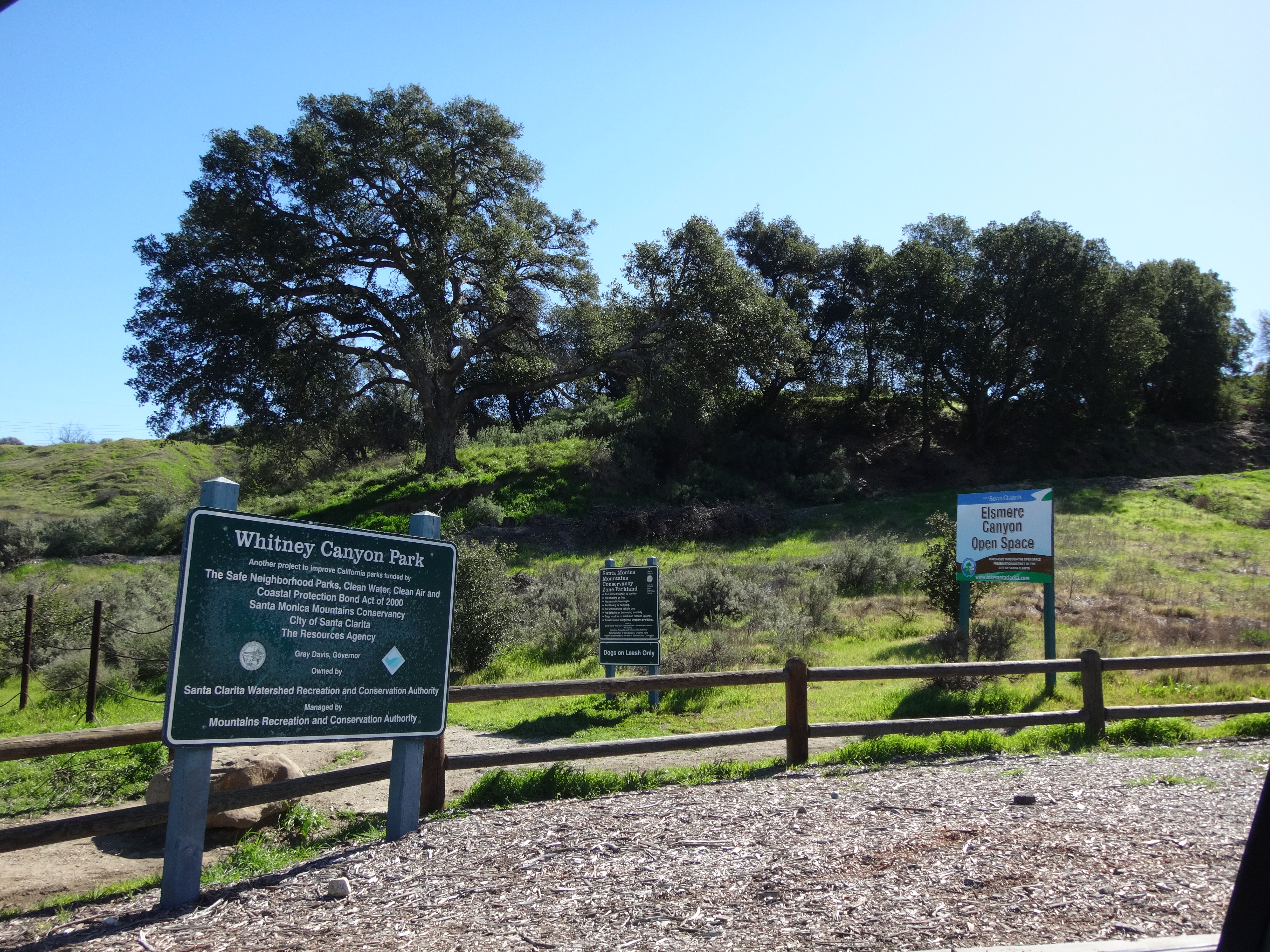
Hiker parking is located off the Newhall exit on the 14 freeway. Go through the paved Park and Ride lot to the well-signed gravel lot beyond. The lot is for both the Whitney Canyon Park and the Elsmere Canyon Open Space. No parking between 10 pm and 4 am.
It was a nice, clear day. A little windy. A little chilly. Like a typical SoCal native, I dressed as if it were summer, in shorts and t-shirt, but took extra junk, just in case.
The plan consisted of following fire roads and breaks in one big loop around Elsmere Canyon, while bagging Los Pinetos Peak on the way up, and Peak 3119 (Top Hat) on the way down.
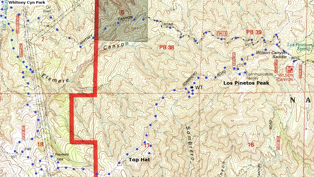
My first road was Whitney Canyon Road (3N17), according to the USGS topo. It's also known as the Santa Clara Truck Trail, according to Garmin's topo. Or simply as "The Beast", according to mountain biker blogs.
The Beast climbs about 1800' in 3.9 miles to the Sombrero Road (3N64) junction. This may seem like a monster climb to a biker. But to a hiker, the grade and distance is only mildly challenging in cool weather. During the summer heat, I'm sure it's brutal even for people on foot.
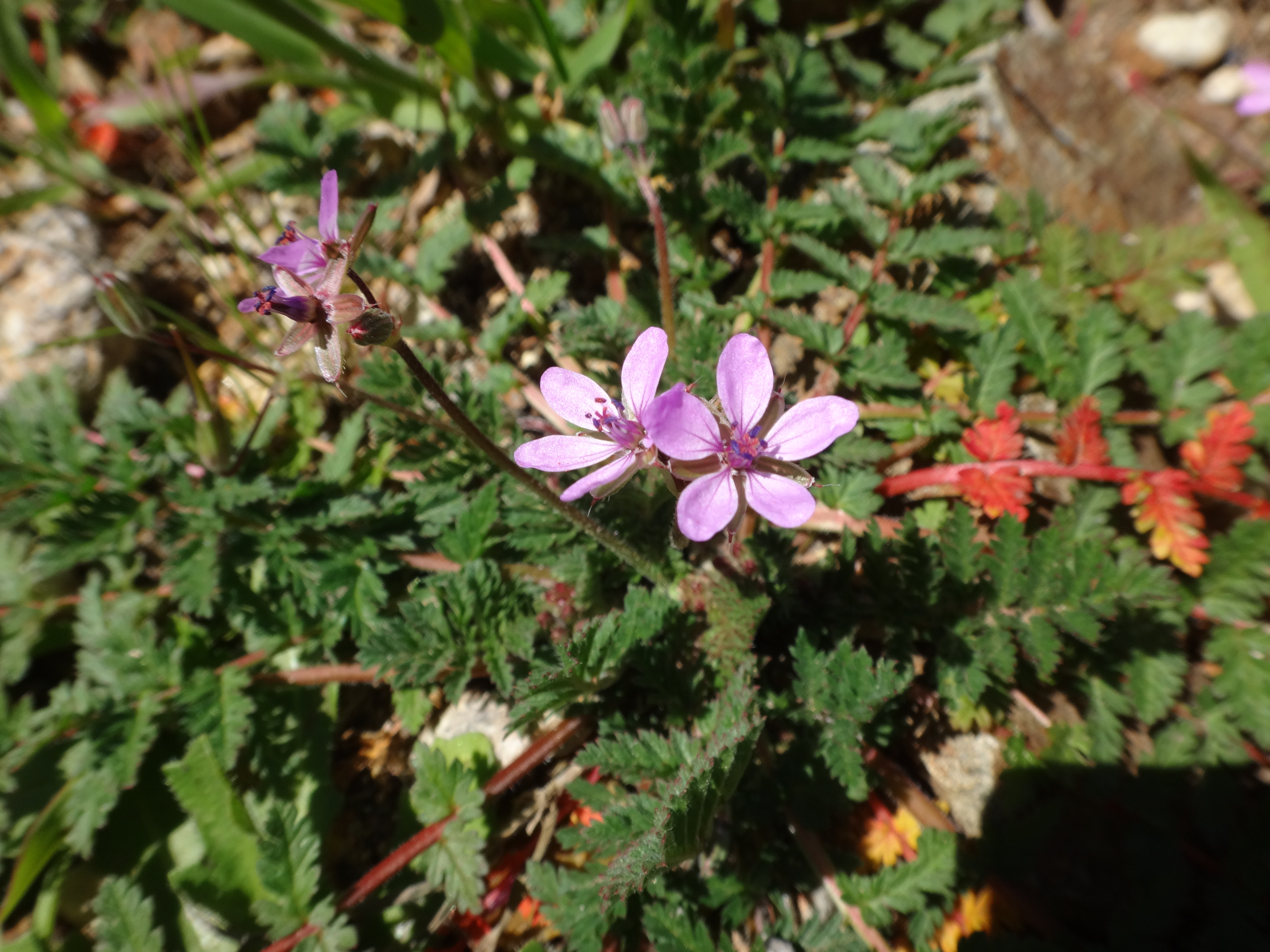
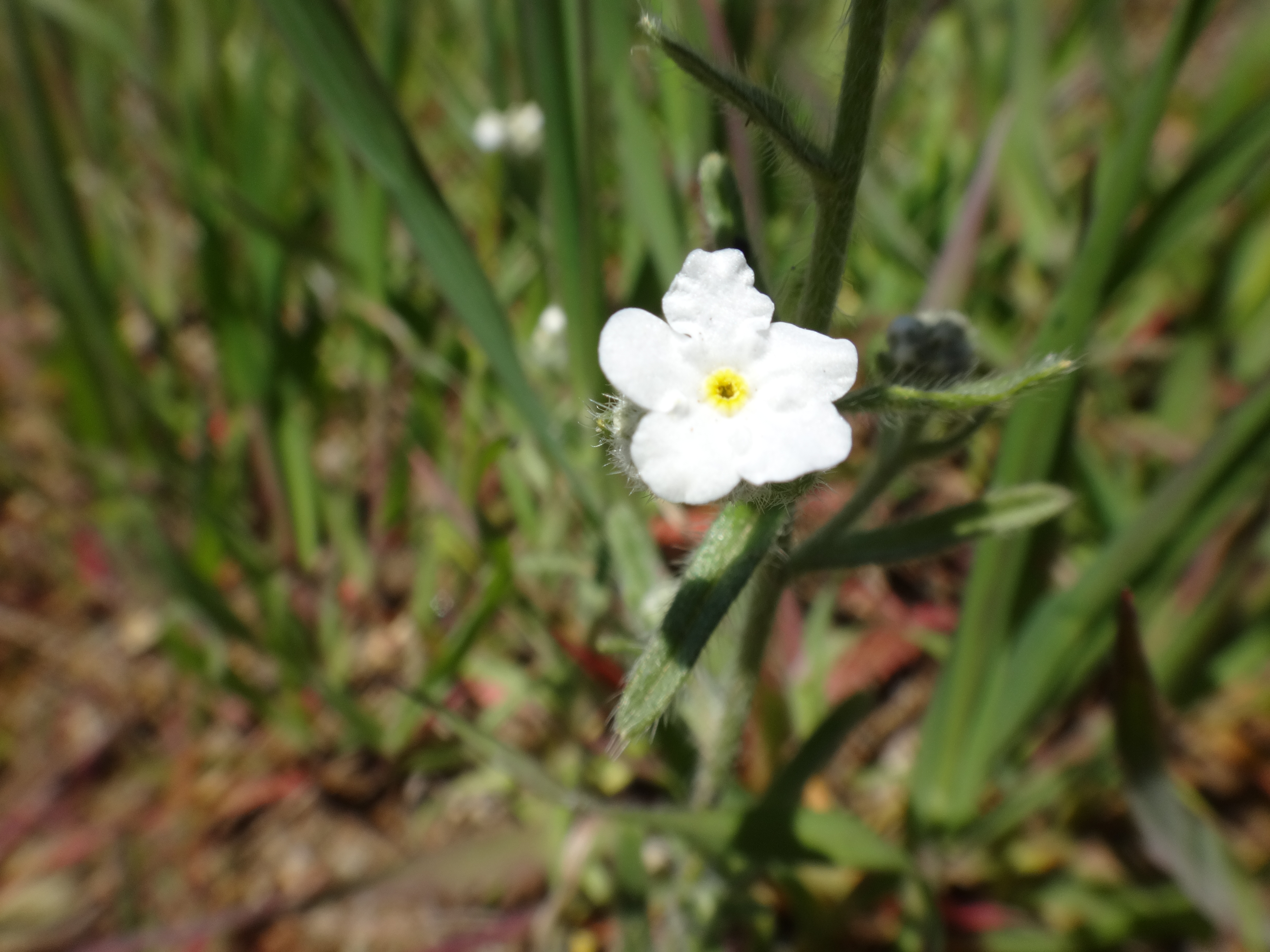
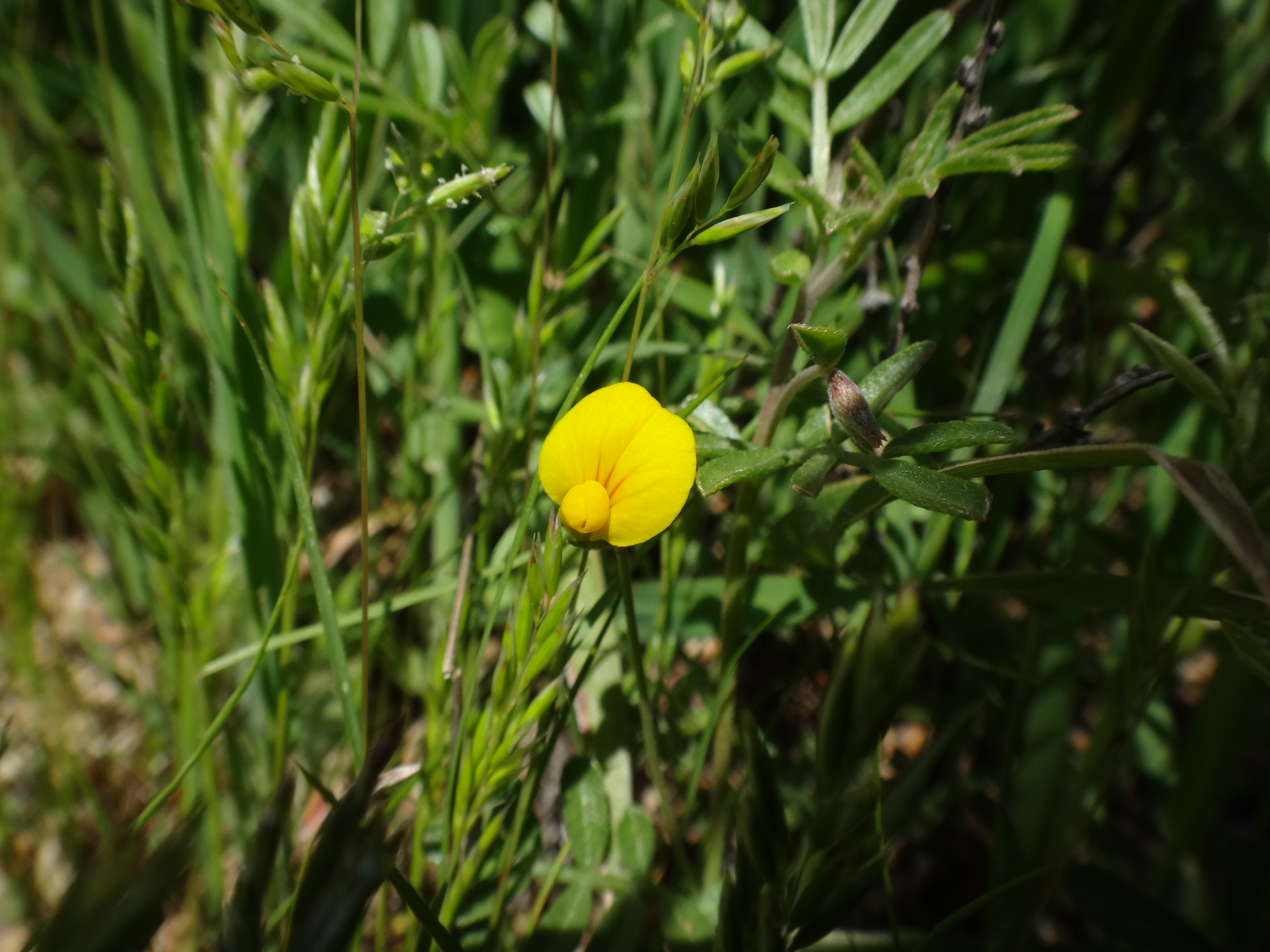
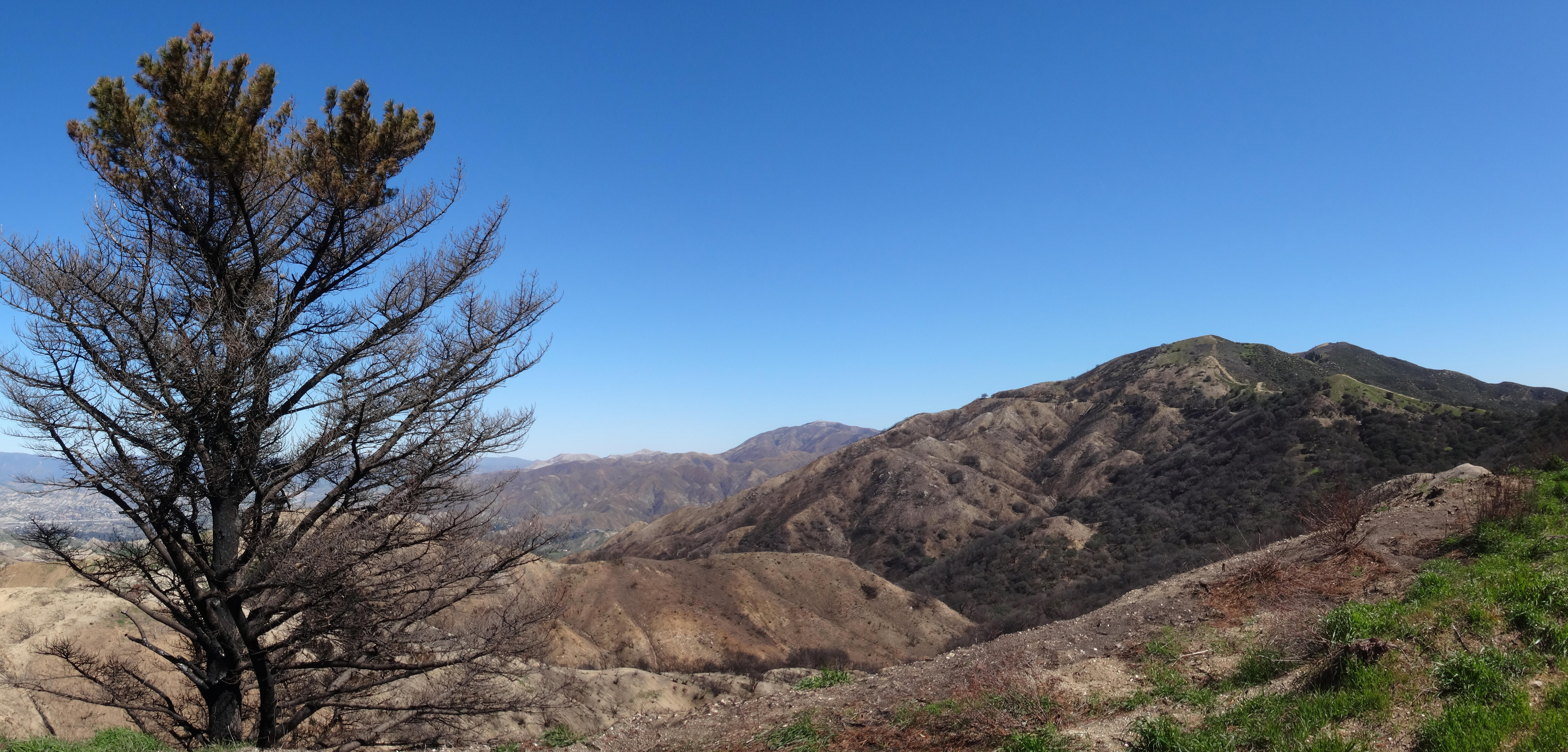
I had the path and the views almost all to myself. Only one runner passed me by. A couple sections of the road offered tiny new flowers to photograph.
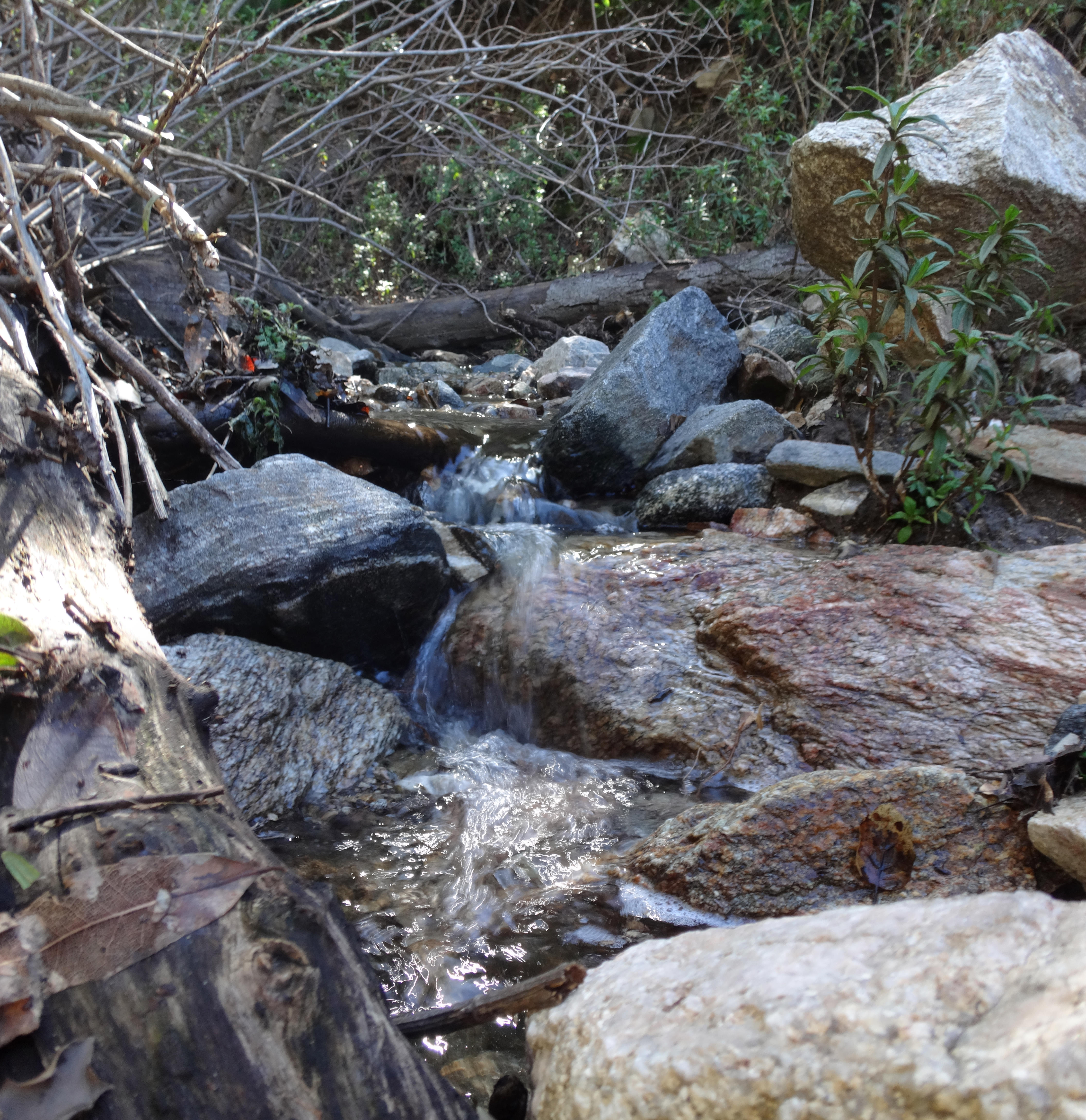
A feeder gully for Whitney Canyon contained a small stream.
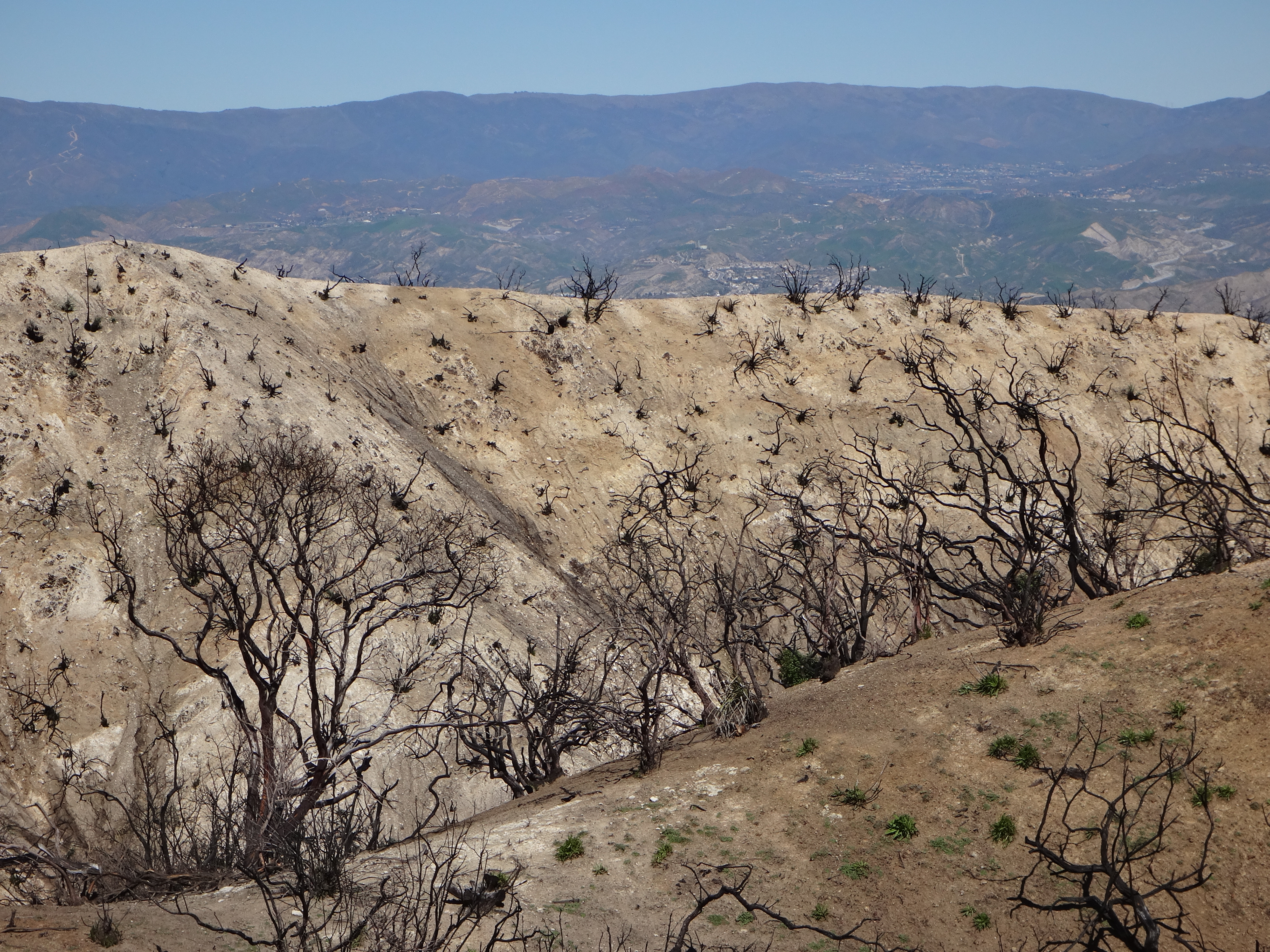
After a couple hours I reached the junction with Sombrero Road. Looking east, the Sand Fire devastation came right up to the road.
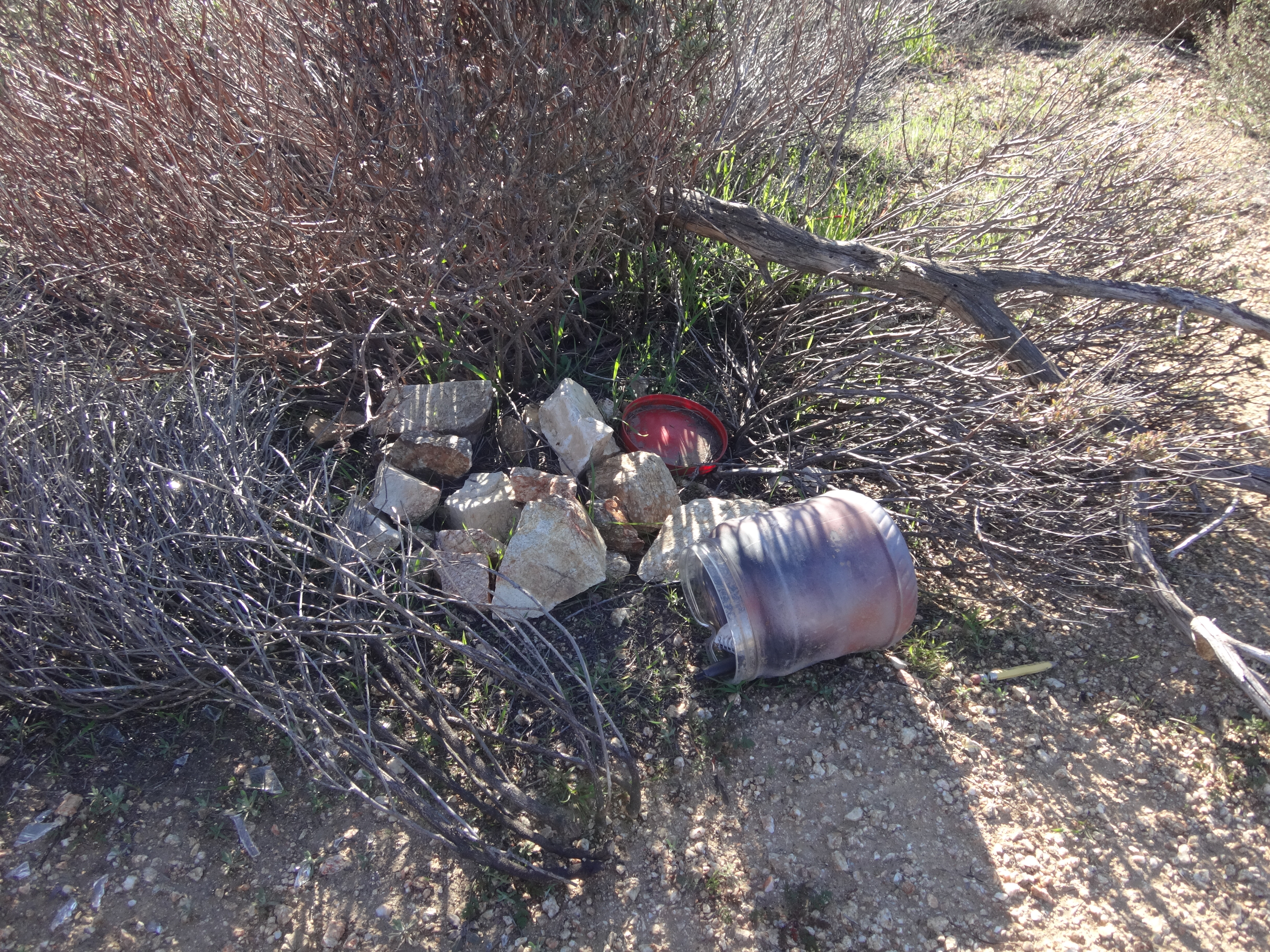
During the ascent I had picked up some trash: one drink carton, a used towelette, a couple food wrappers, a tube of lip balm, a bike reflector, and two plastic water bottles.
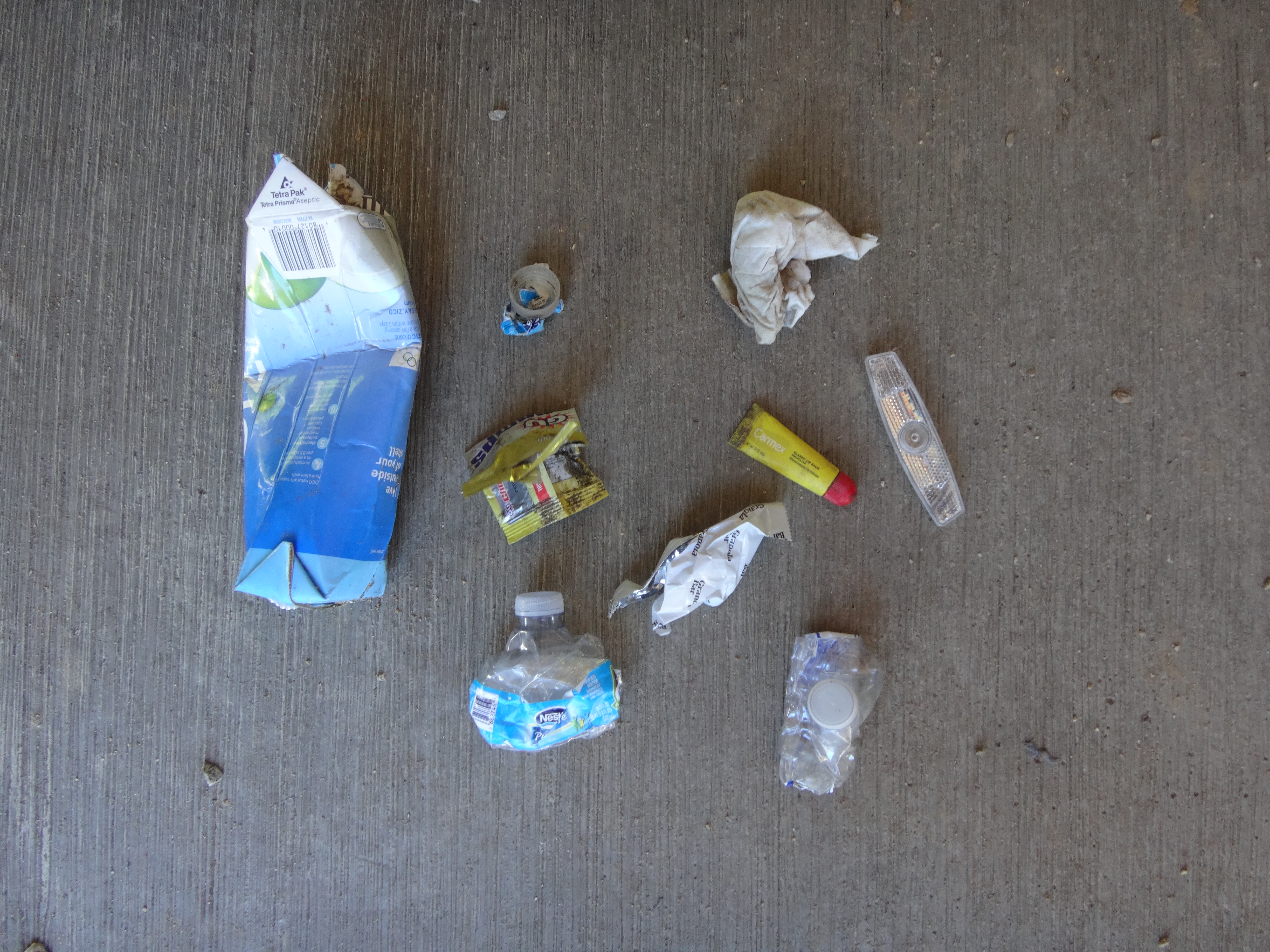
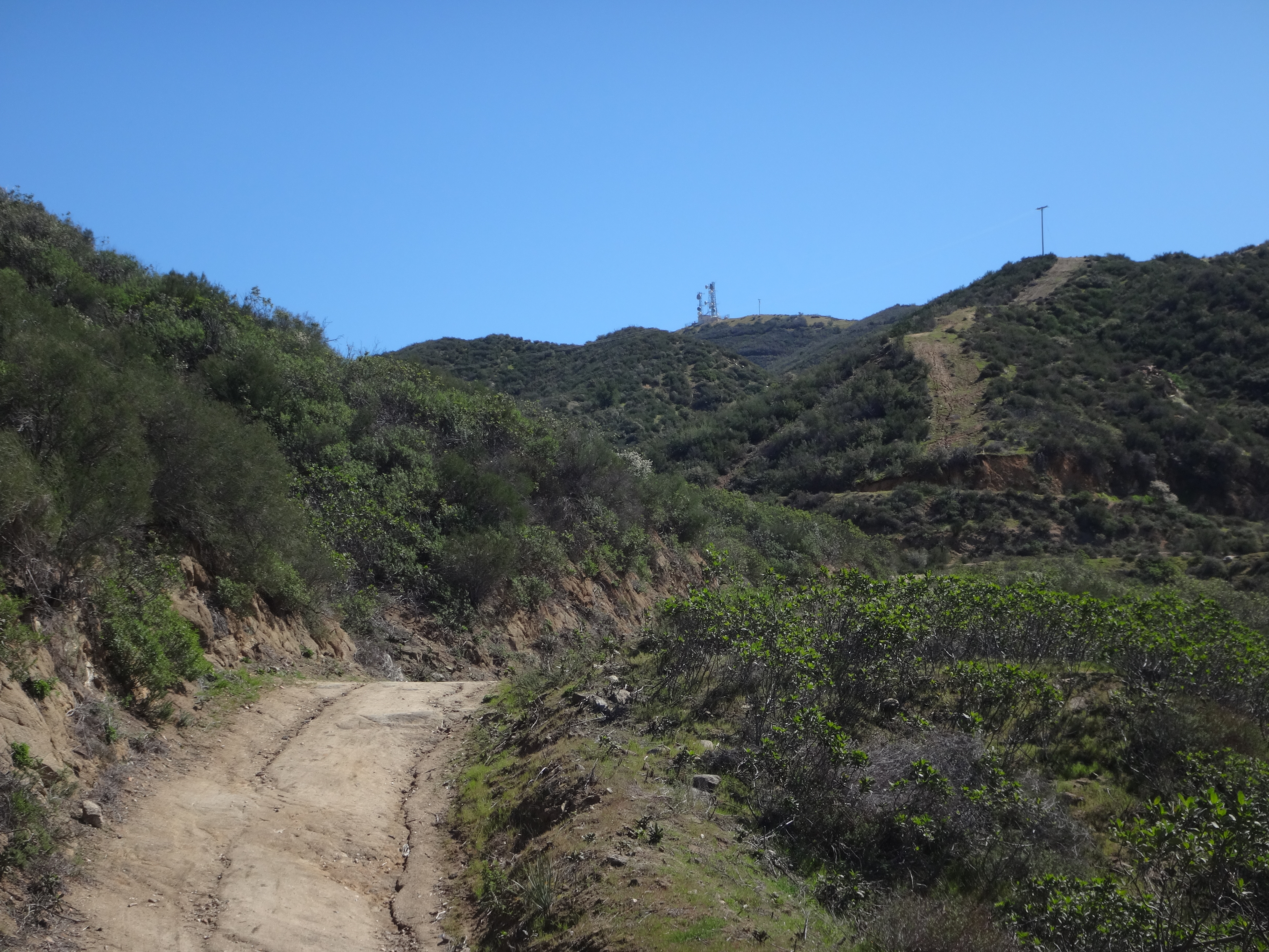
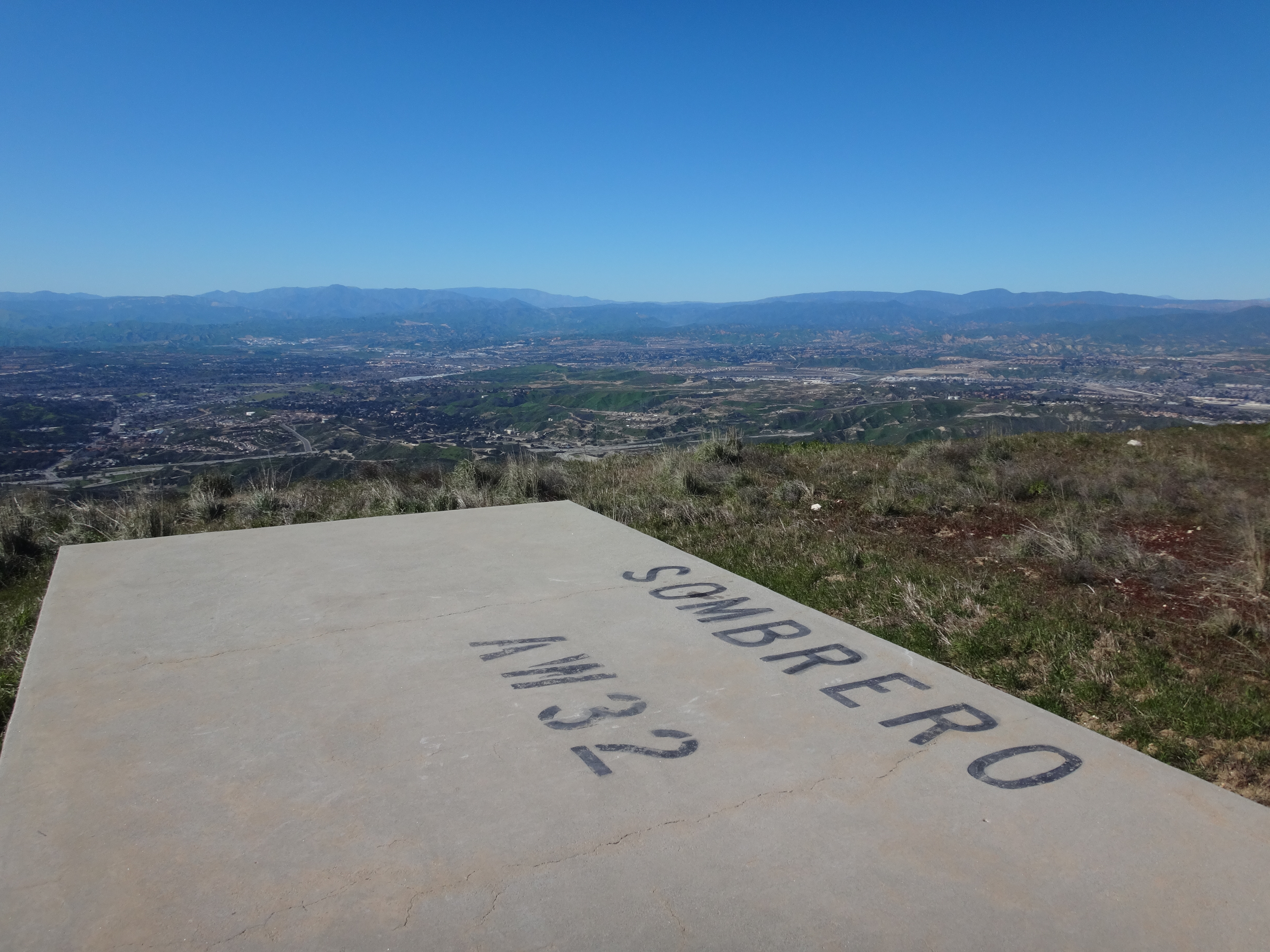
A quick side-trip to Wilson Saddle allowed me to discard the garbage in a trash can. Then I returned to head up Sombrero Road to my highpoint of the day, Los Pinetos Peak (3560').
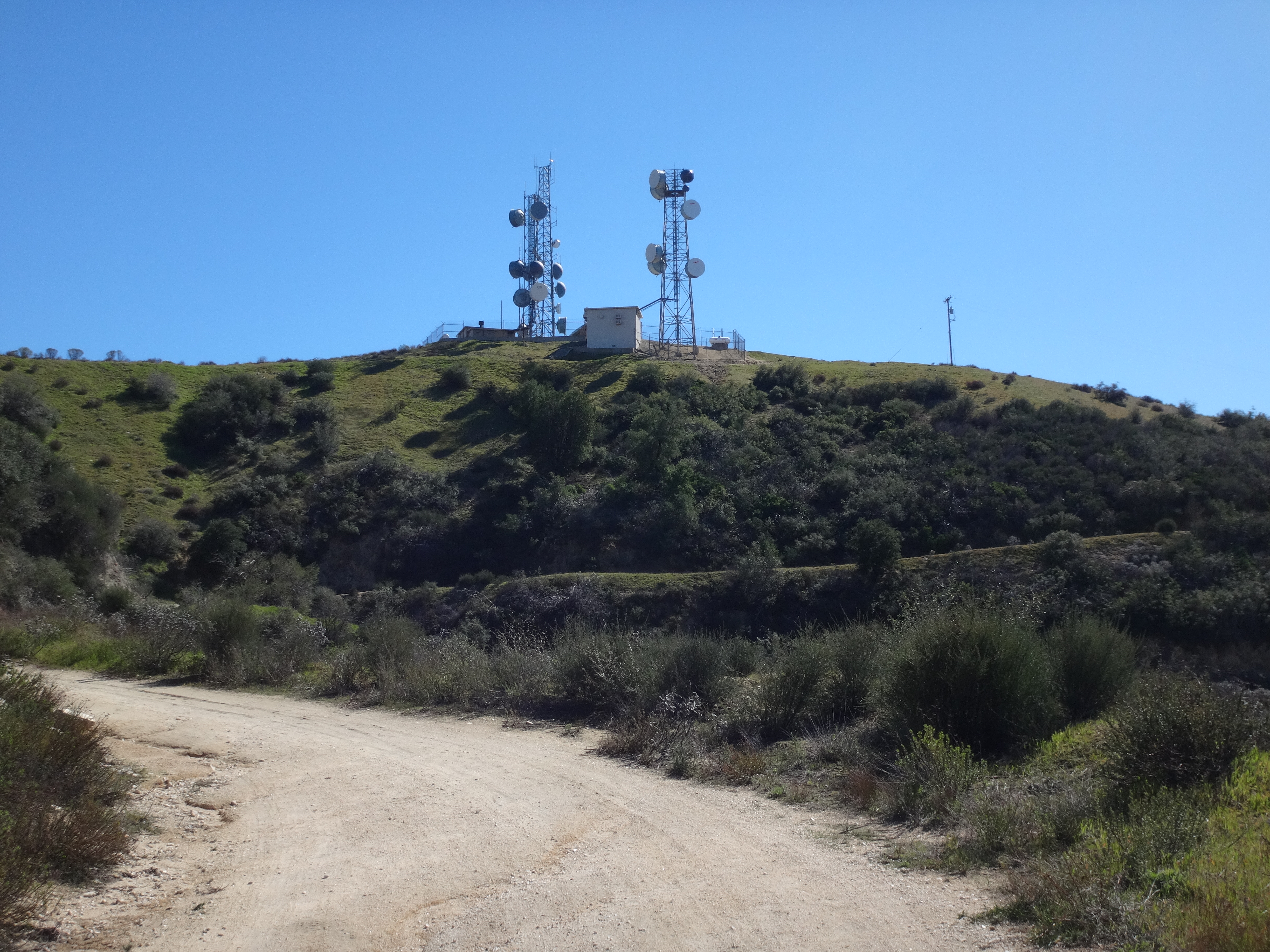
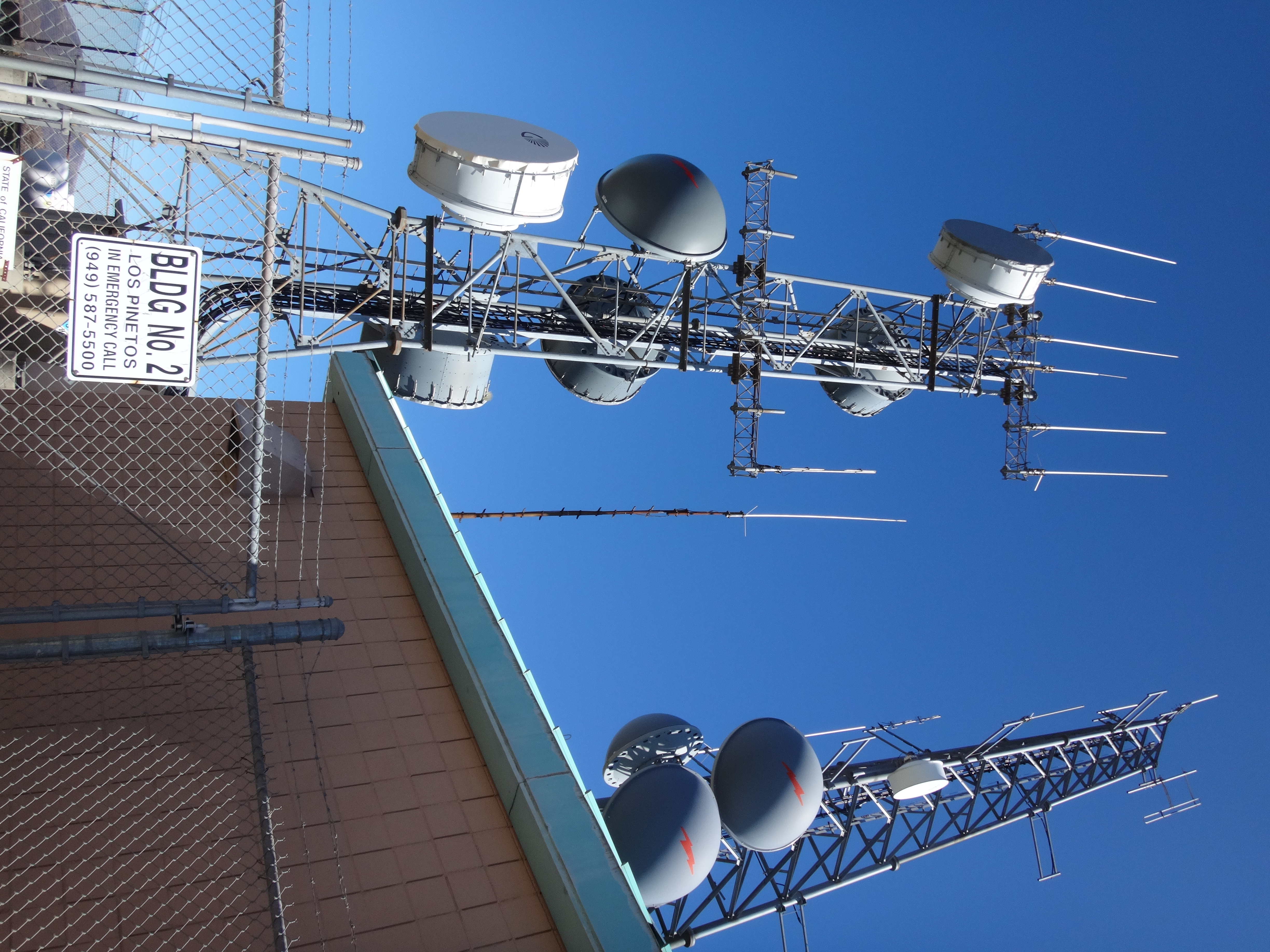
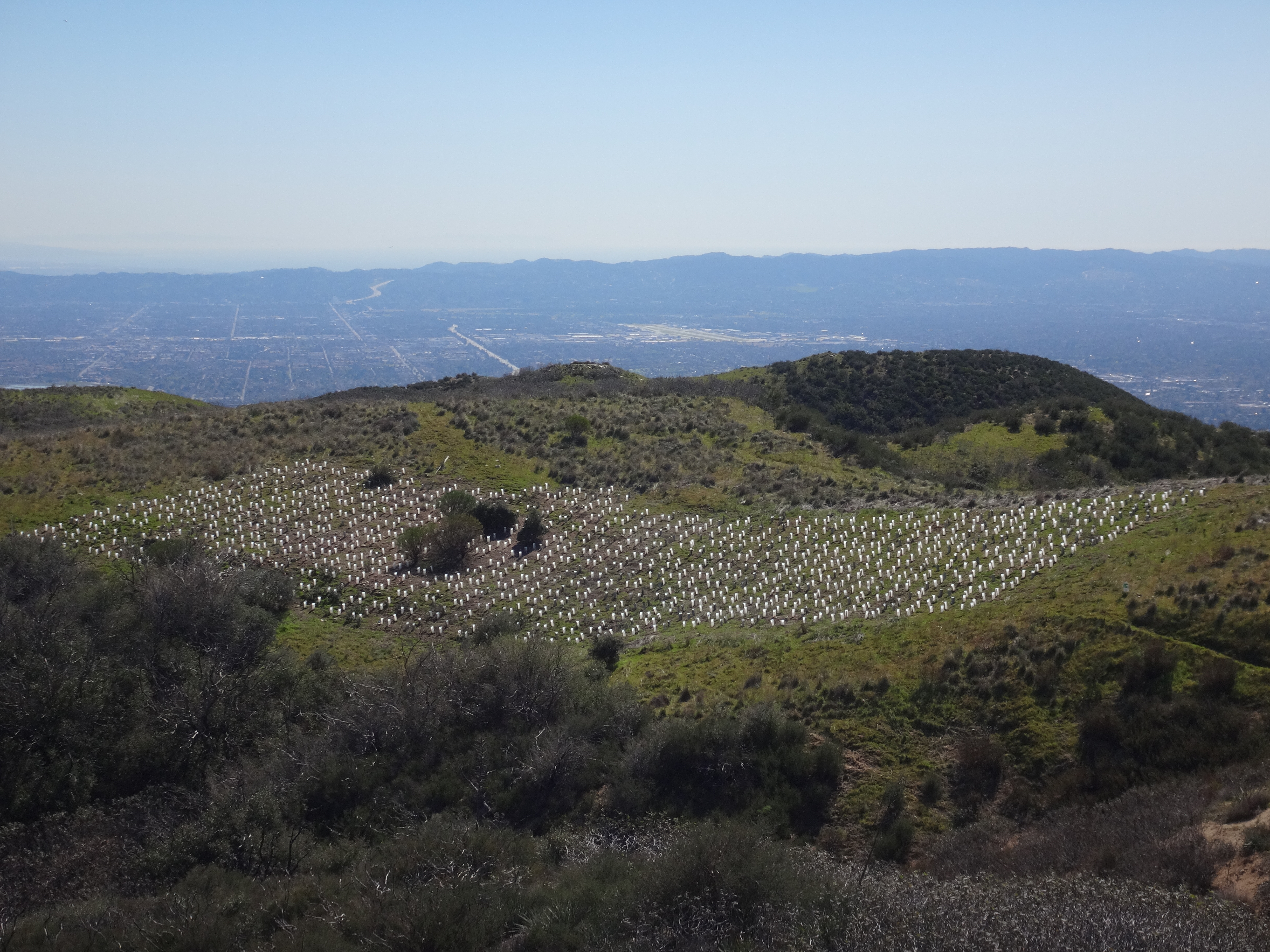
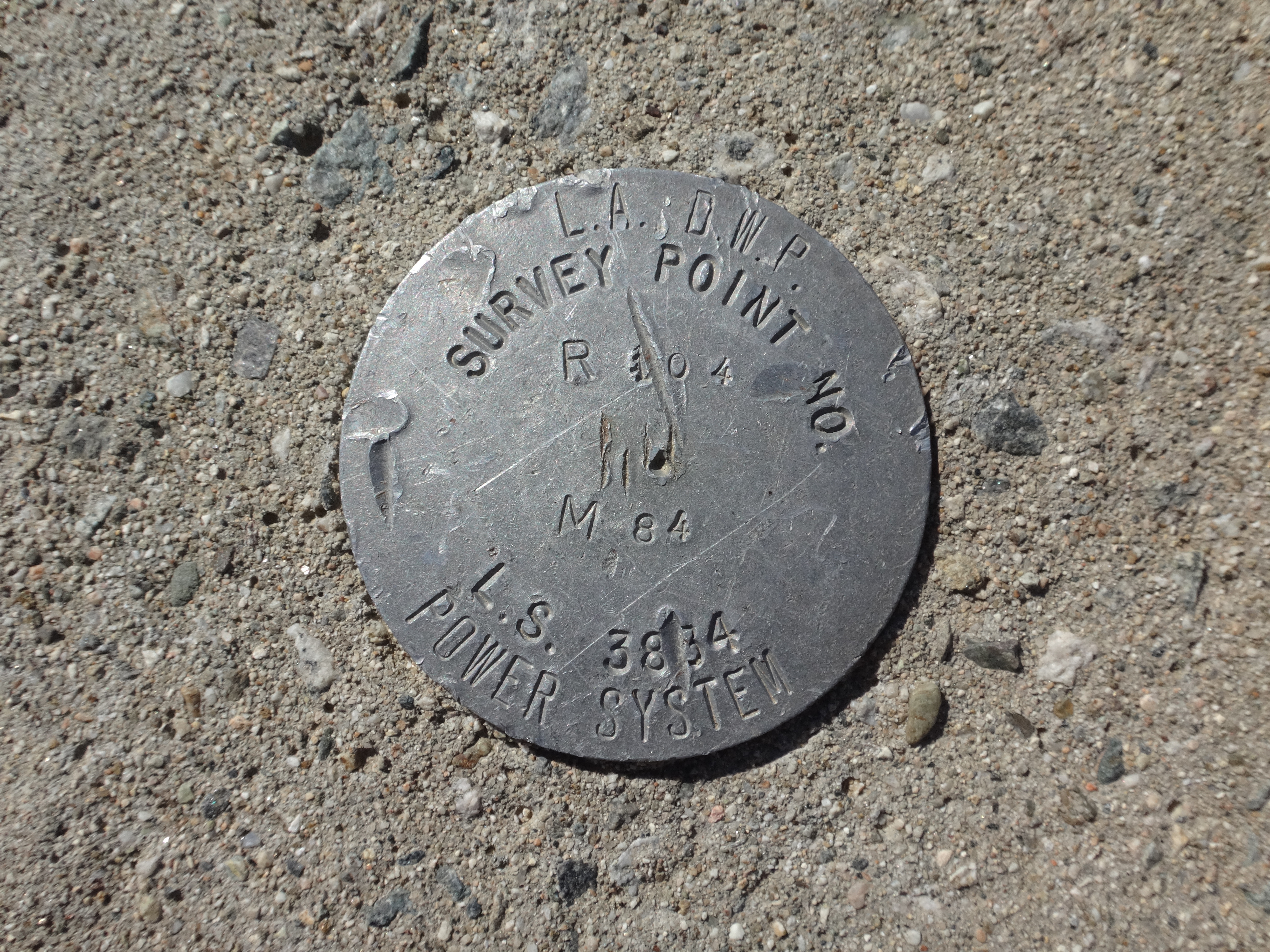
On the summit a fence surrounds some towers. Off to one shoulder is a signed "wildlife study area" with a field of planted vegetation or something. I didn't walk down to investigate. Next to the towers I did find a series of DWP survey marks.
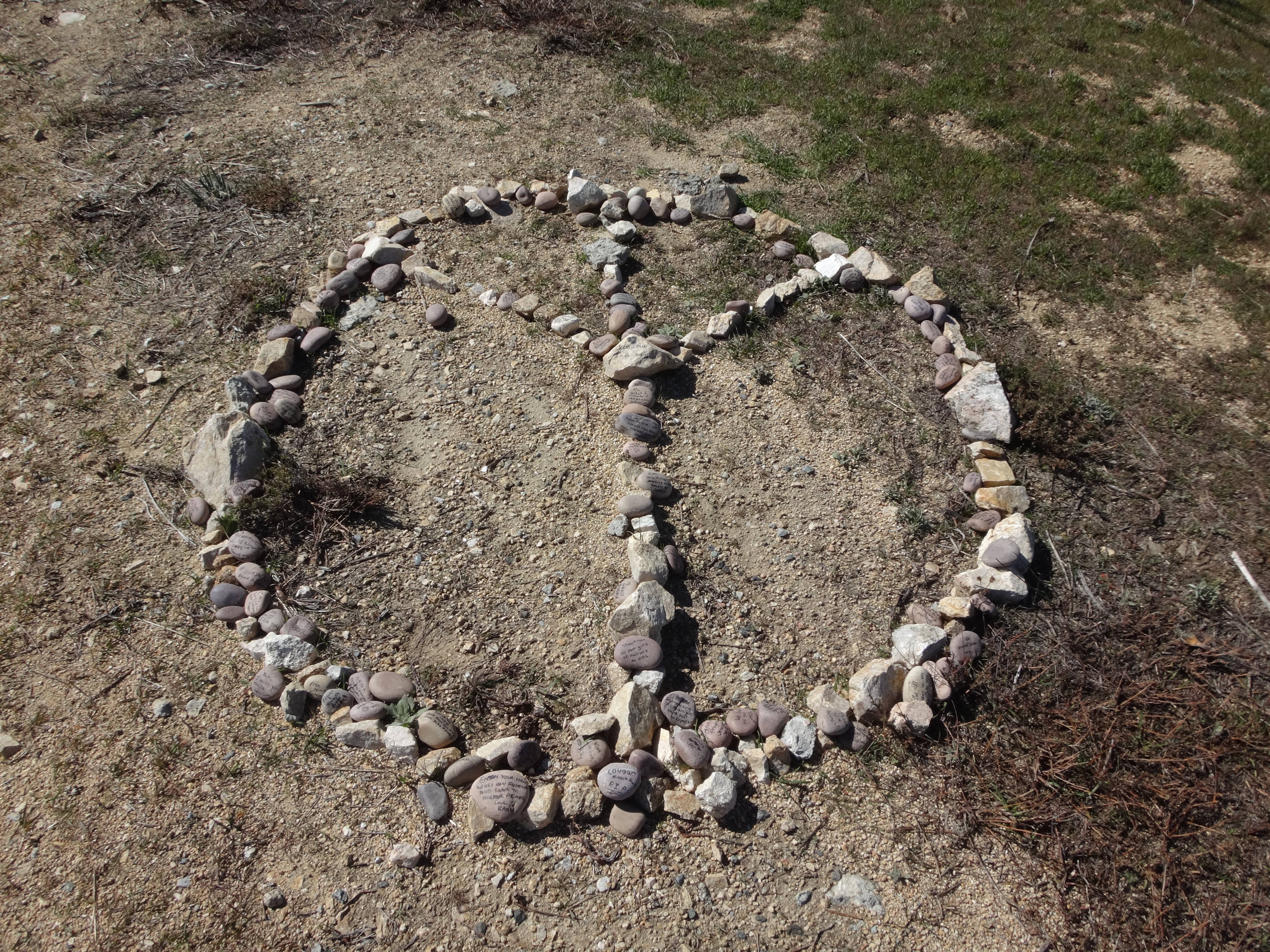
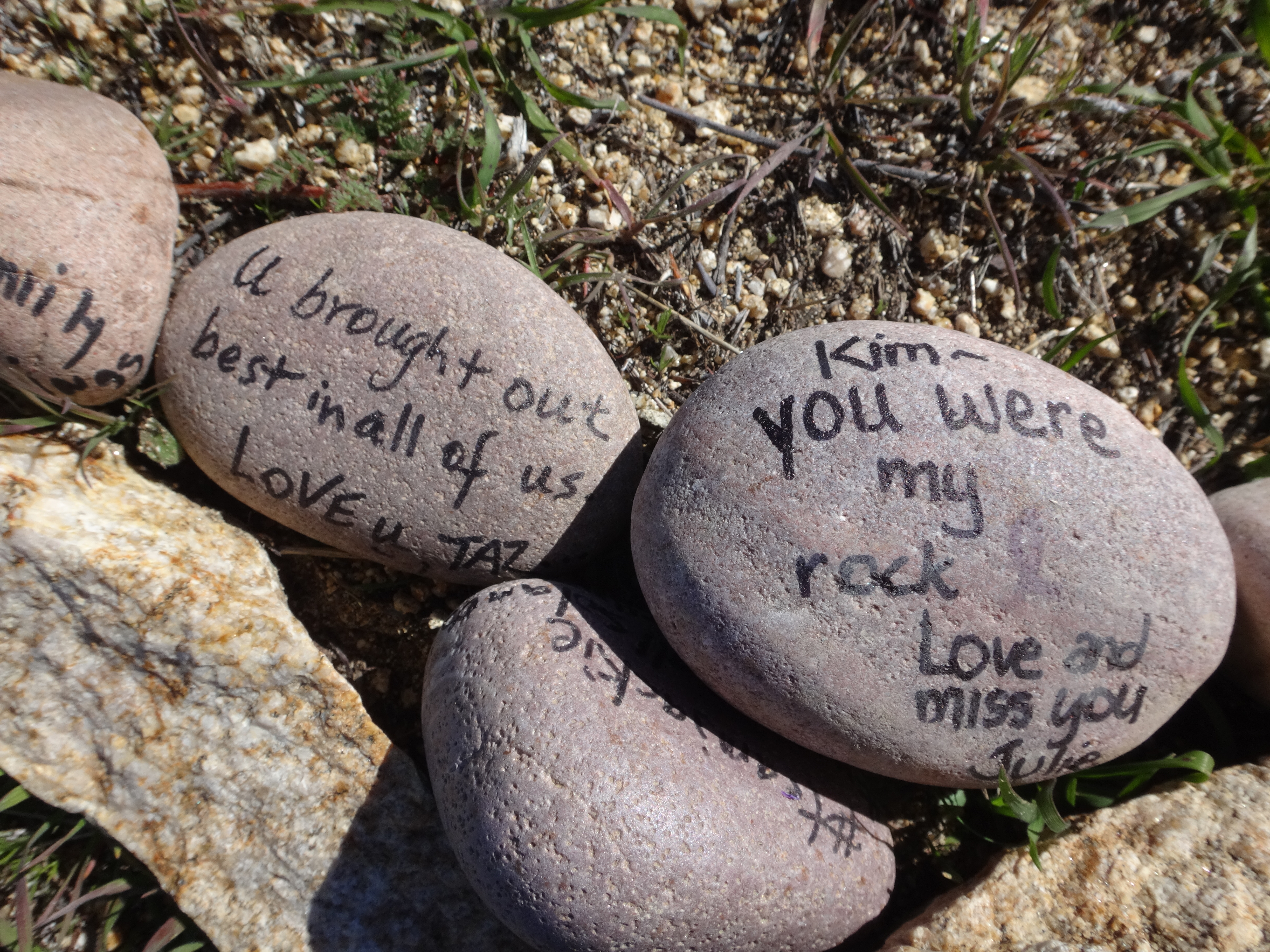
Also on the summit was a rock memorial to Kim Inman.
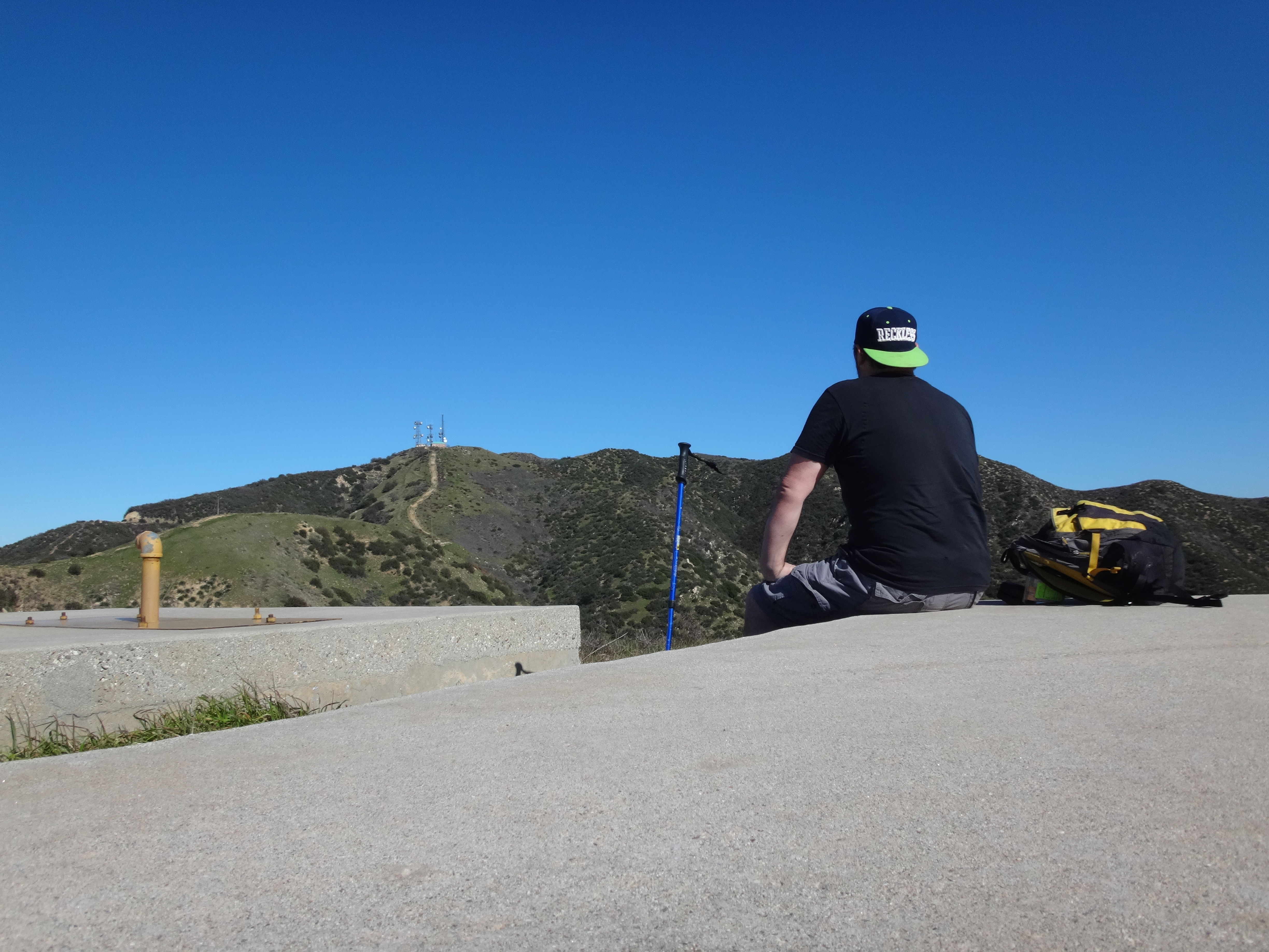
It was kind of windy and cold up there, so I decided to start the descent ASAP. My next goal was a small peak (3119') above Sombrero Canyon. I dropped down the service road and reconnected with the Sombrero Road.

The Sombrero Road wraps around the headwall of Sombrero Canyon to a staging area. Above the staging area, up the ridge, are two large water tanks.
This is where I sat, ate a sandwich, and took in the views.
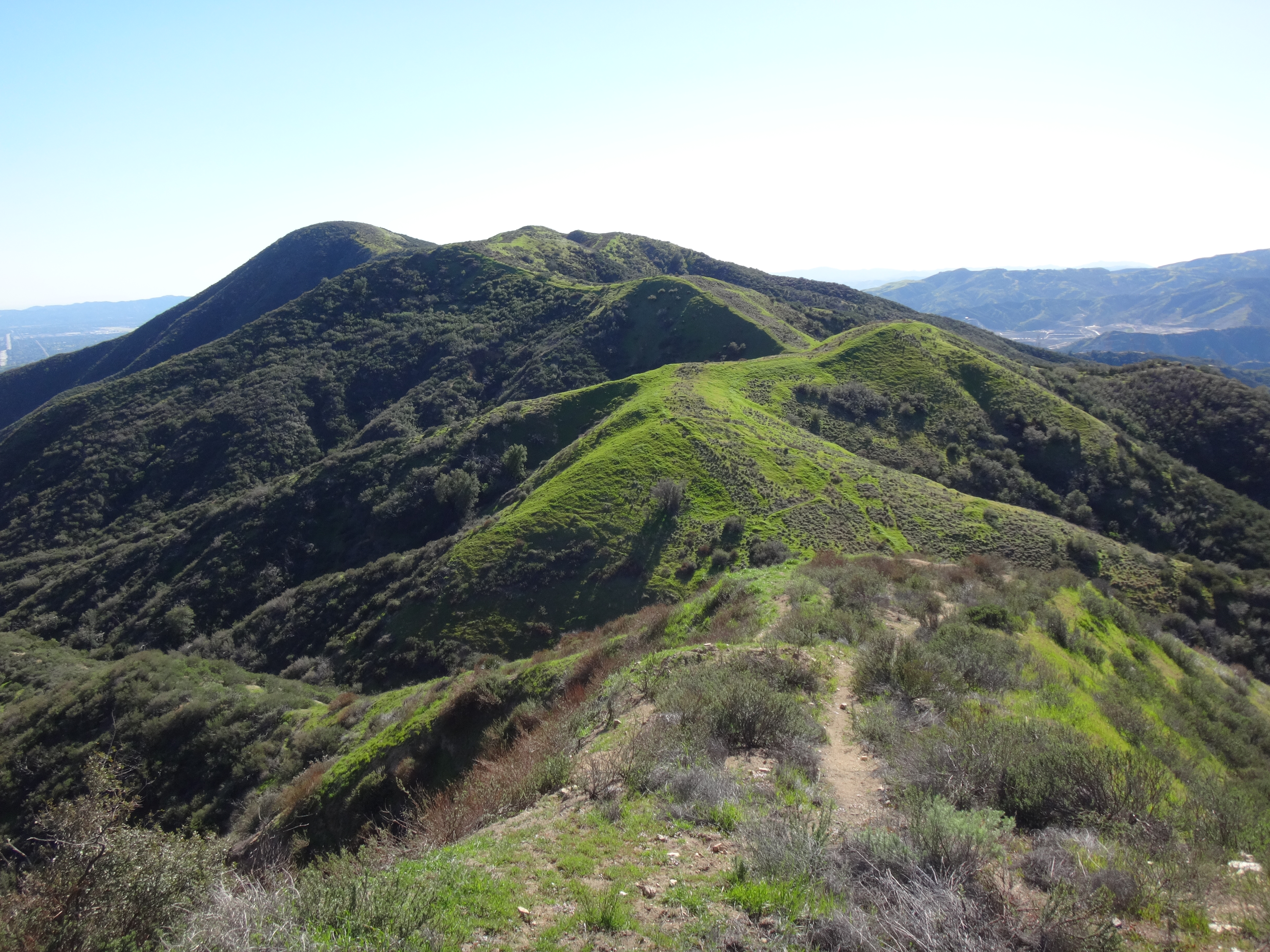
From this vantage point I could clearly see the staging area on the left and the old firebreak on the right, stretching from the road to Peak 3119.
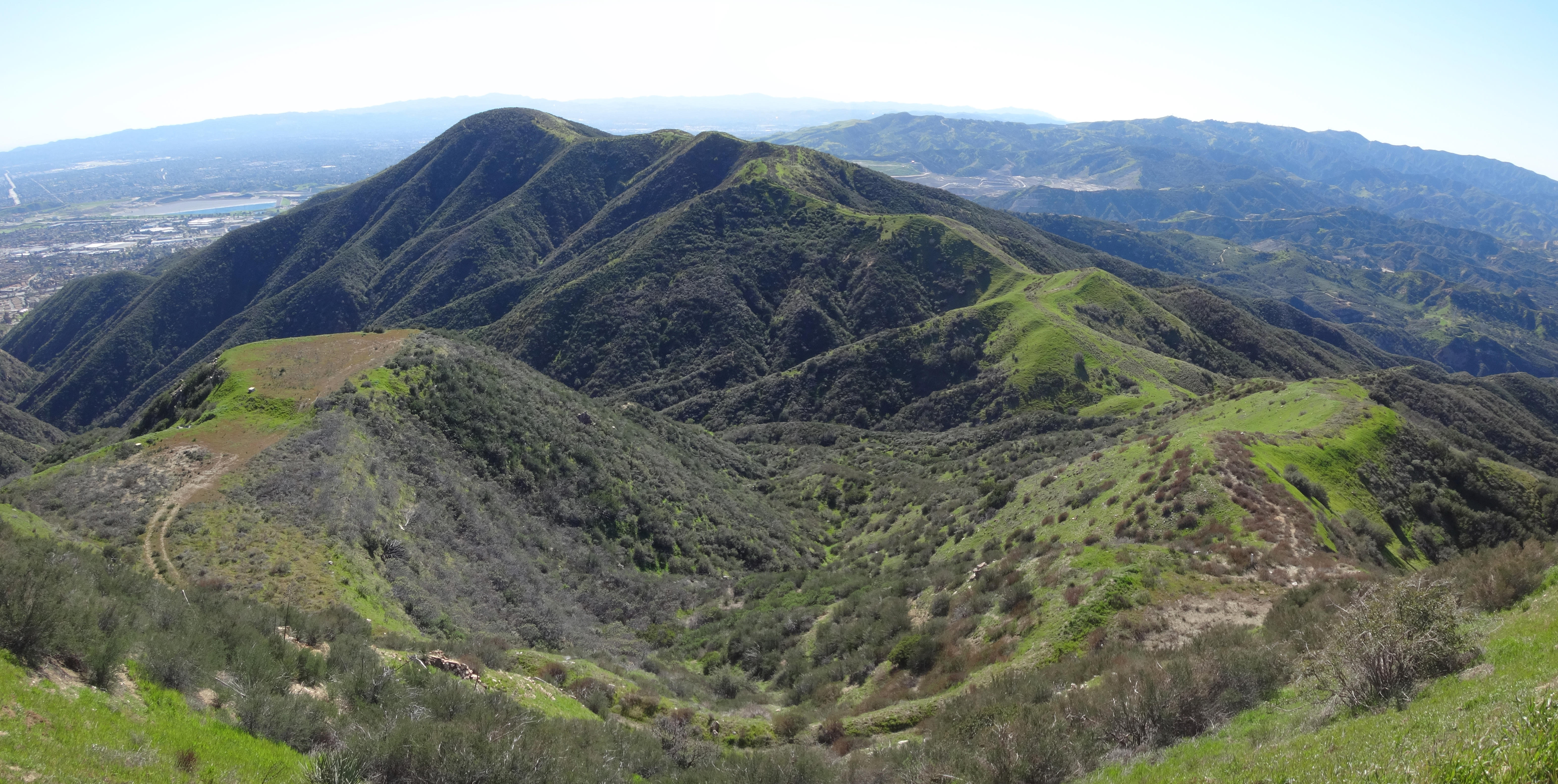
The break looked a little overgrown with grass and small plants. Nothing terrible. Also, there would be some up and down between bumps.
The Sombrero tanks offered such a pleasant spot to hang out that I felt like a post-meal siesta. But due to my late, near-noon start, there was no time to dilly-dally. I packed up my gear and charged at that firebreak like a mad sloth--slowly but surely.
Swirling high above, two birds of prey awaited my doom on the ridge, so that they could be first in line at the Sean's Corpse Buffet. If not from a broken ankle due to mis-stepping in one of a hundred, grass-concealed rodent holes, my fate would surely be determined by some other unfortunate accident, like a convenience-store-food-induced heart attack.
Thankfully I didn't die. And, ironically, I happened upon the remains of an avian predator.


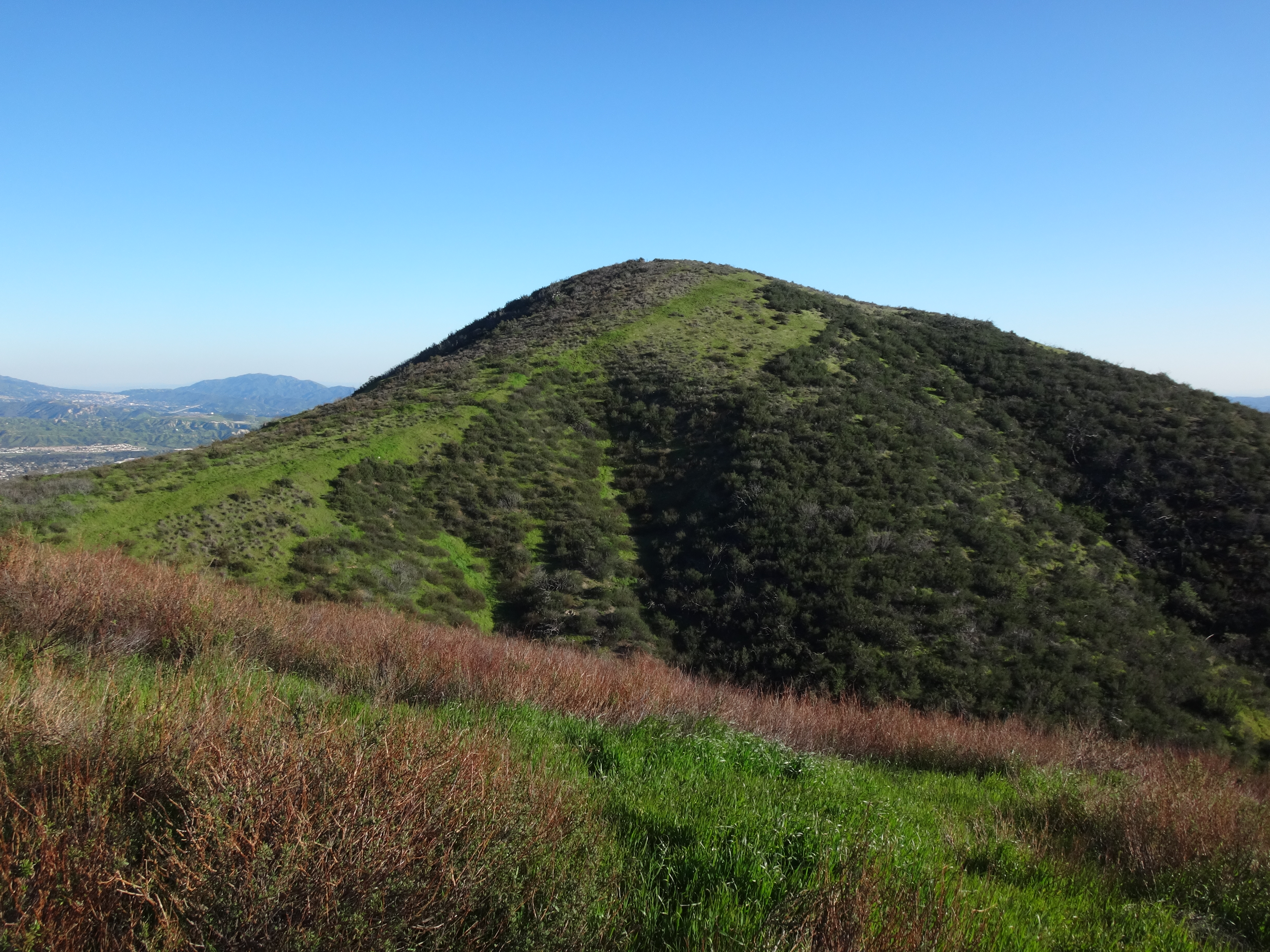
After struggling up and over several minor bumps, I was within a stone's throw of 3119.
To my surprise there was a register on the summit. It had been damaged, but the notebook and pencil were still usable.
Inside the book cover a faded message read: "Welcome to Top Hat."
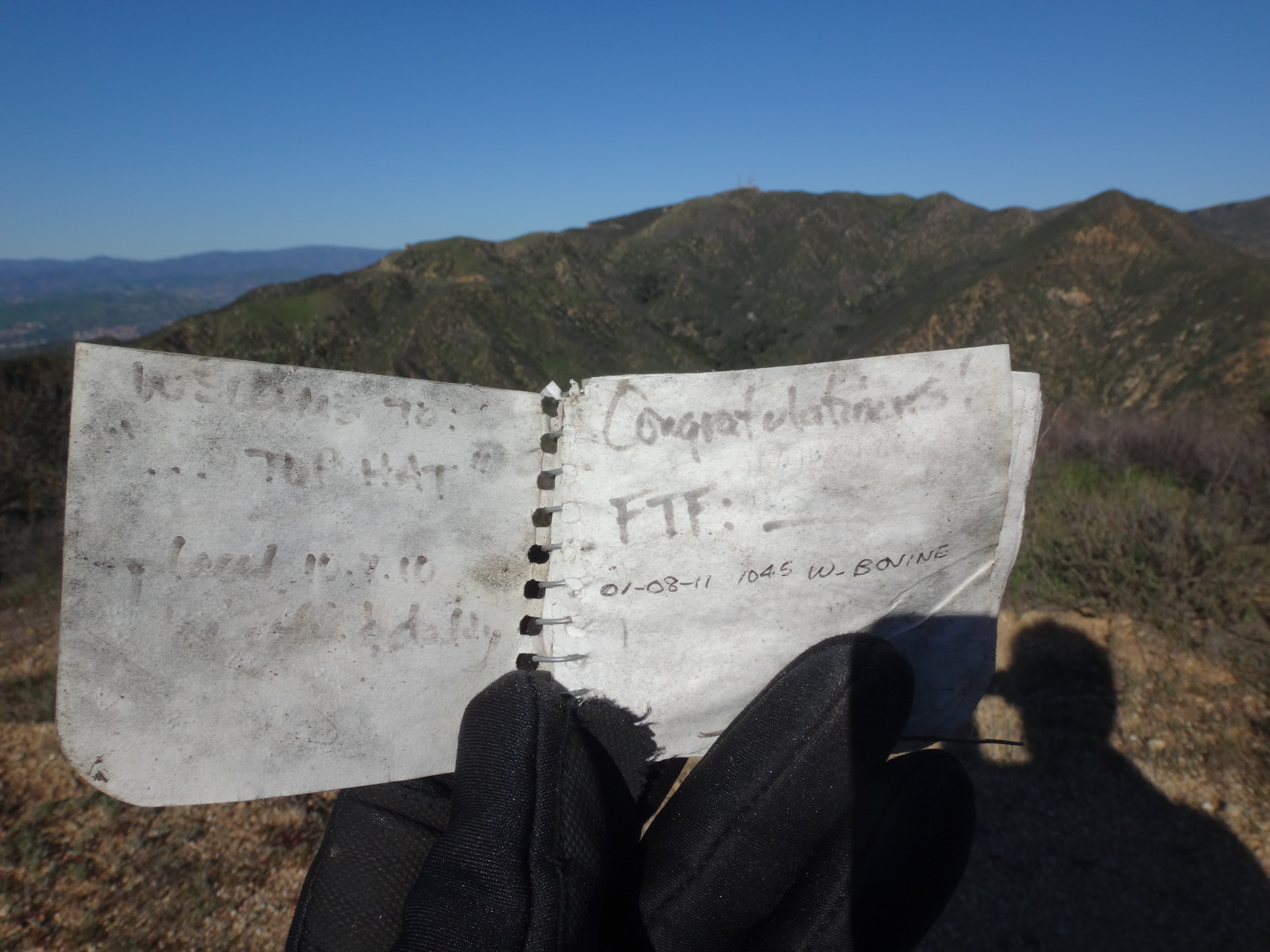
So Top Hat it is. Heck, it's better than my name for it: Place Where Large Birds Wanted To Pick At My Dead Flesh Peak.
Top Hat is a good place to feel like you're King of the Valley.
I fixed up the register and rock cairn.
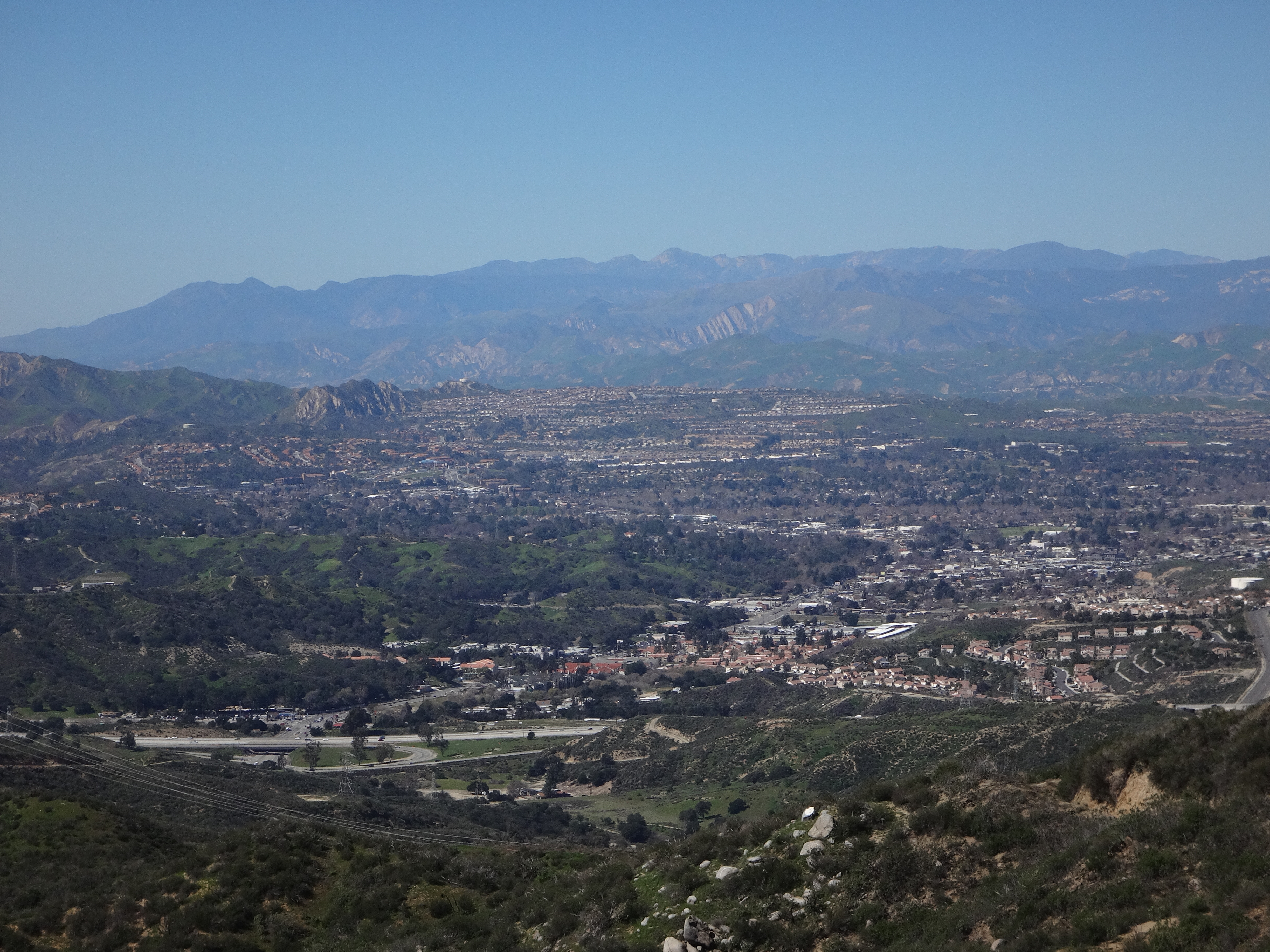
Studied the Van Norman lakes complex.
And then returned to the firebreak descent.
The firebreak ended at the Elsmere Motorway. Finally, after circling Elsmere Canyon on ridgetops, I was actually going to enter the canyon proper. But first I had to check out nearby Fremont Benchmark, which I located among a set of electrical towers.
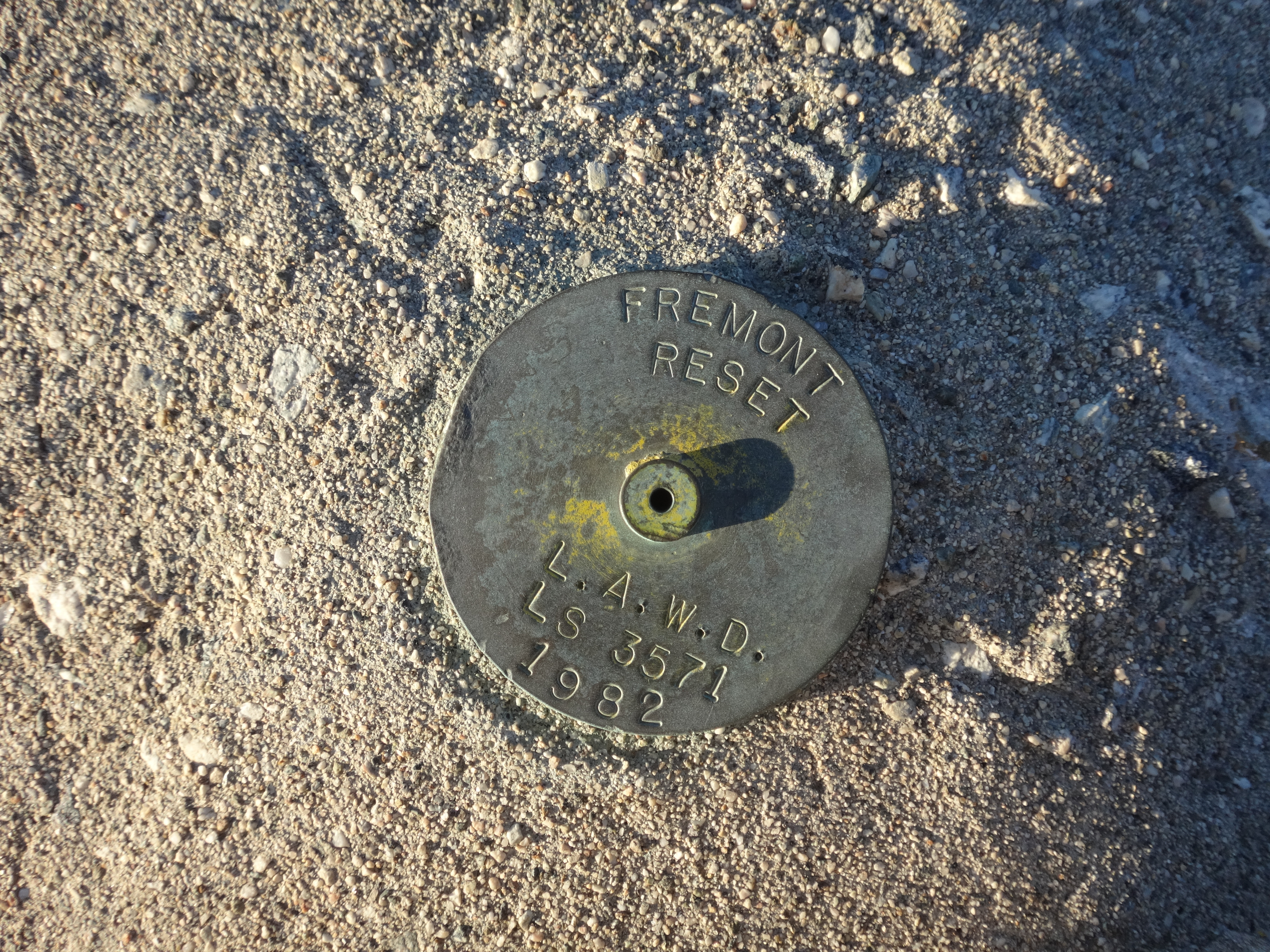
The old monument was partially destroyed, and the original disc was missing. Hence the newer reset mark.
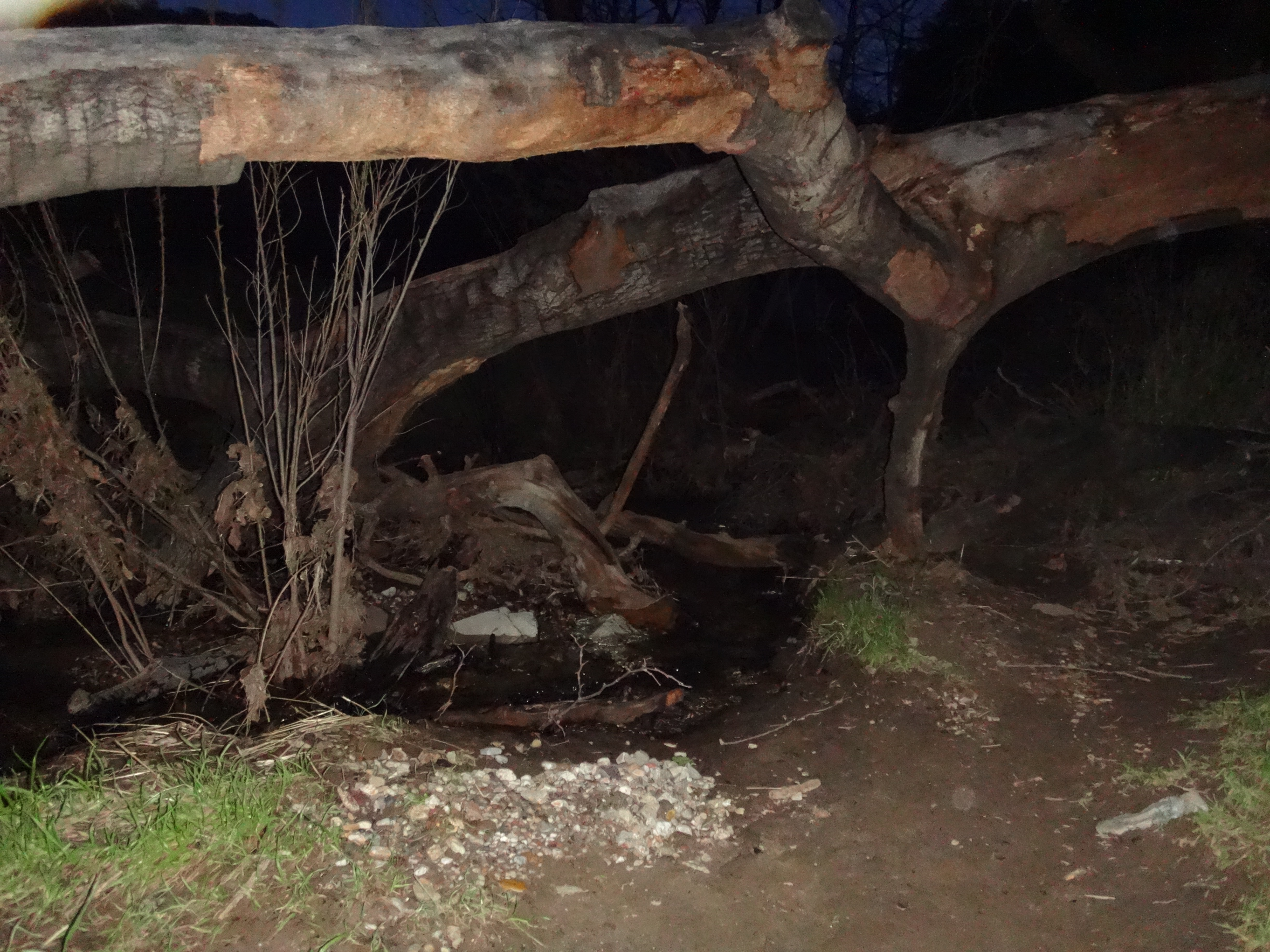
I now had a long road walk through Elsmere Canyon. Unfortunately it was getting dark, so I didn't take any good pictures. Here is one of the stream in the dark.
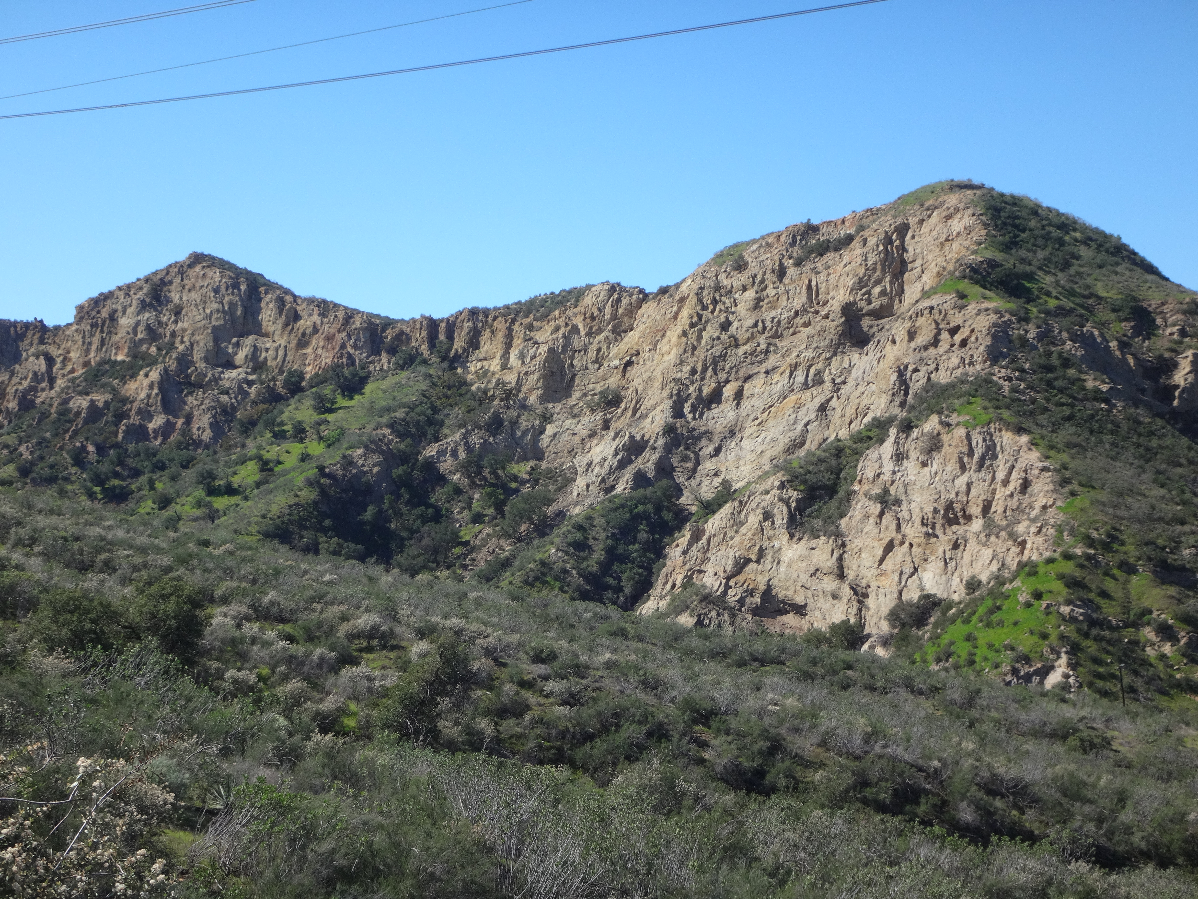
And here is one I took at the start of the hike from the ridge road. It shows the rocky cliffs in Elsmere.
My headlamp failed on me. So I resorted to the backup plan, which was a flashlight app on my smartphone. The battery was down to 39℅ when I started on the Elsmere Creek Trail. Walking along the bustling creek provided a welcomed change from a long day of living on roads and ridges. However I did not linger or stop for more picture-taking, not wanting to get stuck in the dark once my phone battery died. And that was the best call of the day, since the battery in fact died two minutes after I reached the car.
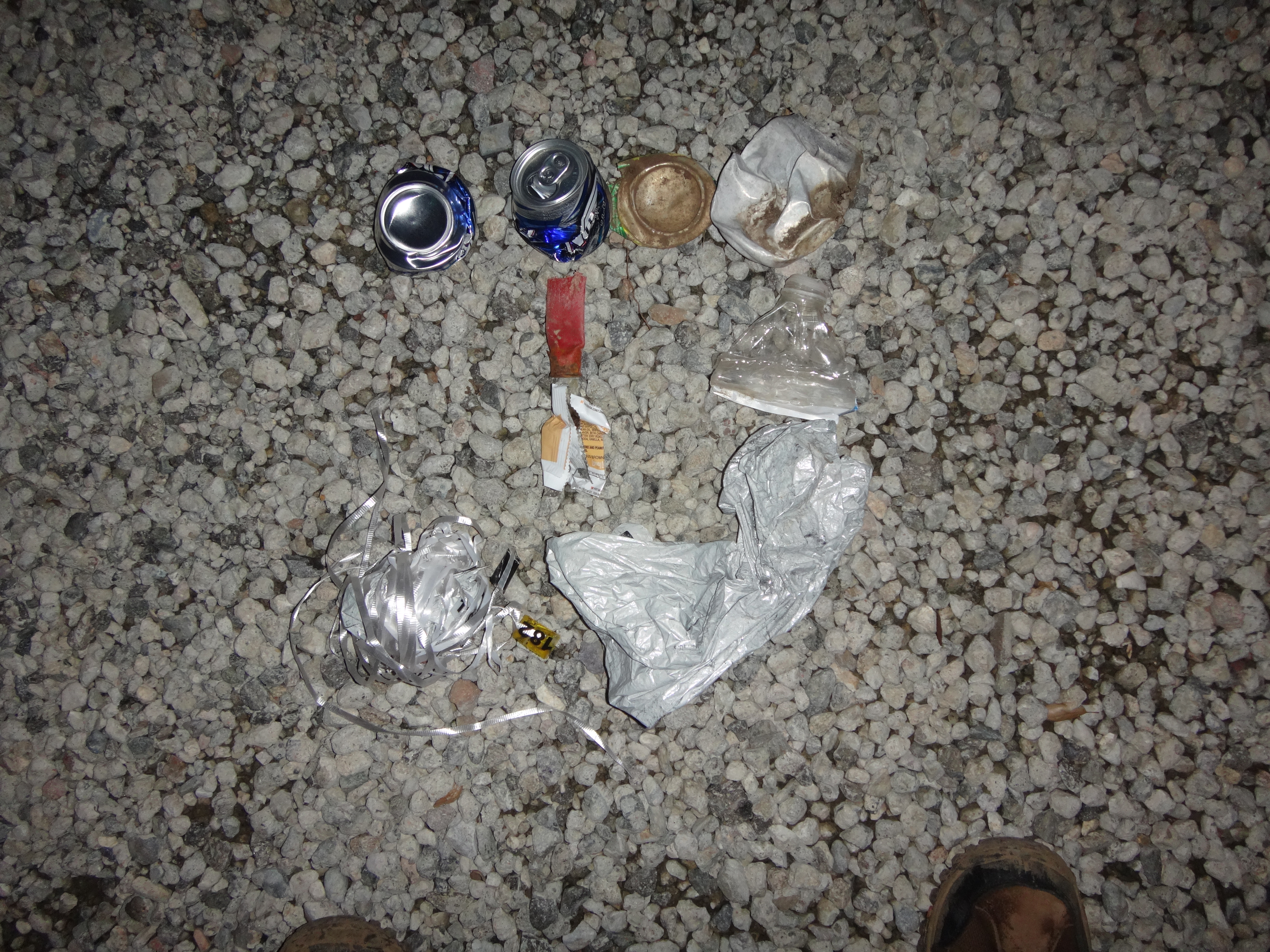
Garbage I packed out on the descent included four aluminum cans, a shotgun shell, one plastic bottle, a food wrapper, and two party balloons.
Miles: 12
Gain: 2760'
