Eaton Saddle Trifecta

TRs for the San Gabriel Mountains.
Post Reply
User avatar
Uncle Rico
Posts: 1439
Joined: Thu Mar 20, 2008 7:48 pm

Post by Uncle Rico »

Drove up the ACH Saturday afternoon to explore the trails west of Eaton Saddle. I'd read some of the TRs about that area posted by you guys/gals, but had never been there myself before so decided to check it out. I found a place to park at Eaton Saddle even though I was Johnny-come-lately, then followed the Mt. Lowe Road to the water tank. Here I veered north and headed for the summit of San Gabriel Peak. On the way up, I encountered a trail crew trimming back brush and repairing the trailbed. Big ups to these folks (and everybody else who works the trails) for making it so we can all enjoy the mountains. The trail here is in decent shape with PDB easily avoidable.

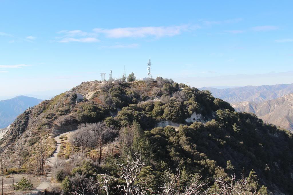
Coming back down, I considered a side trip to Mt. Disappointment, but, well, it looked pretty disappointing so I took a pic instead and skipped it.

Back at the water tank, I followed the Mt. Lowe East trail to the saddle between Markham and Lowe. I continued on the trail here, branching off a short distance later on the trail to Mt. Lowe's summit. Once on top, I got to share the view with three beauties before they headed off greener summits. I signed the trail register, snapped some pics, then descended again to the saddle between Markham and Lowe. The entire stretch of the trail from the water tank to the summit of Mt. Lowe is in great shape and clear of all offending vegetation.

From the saddle, I followed the obvious use trail along the ridgeline to the summit of Markham. As you might expect, the "trail" conditions here a little different. Although mostly avoidable, there is still a fair amount of PDB encroaching on the path in places and I'd probably wear long pants if I was to do this route again. I suppose I'll know in a day or two how successful I was in avoiding the nasty stuff.

On the summit of Markham, I cracked open my "chick beer," signed the register, took in the views, and then tracked back to the saddle. From there, it was an easy walk back to Eaton Saddle just in time to see a pink moment over the range as the sun went down.

As an aside on summit registers, SG, Lowe, and Markham all had shiny new registers and pens in easy to find canisters. That was an unexpected change from what I've encountered lately. I made sure to do some redecorating of each register in SGDF fashion.

Some pics:
Image
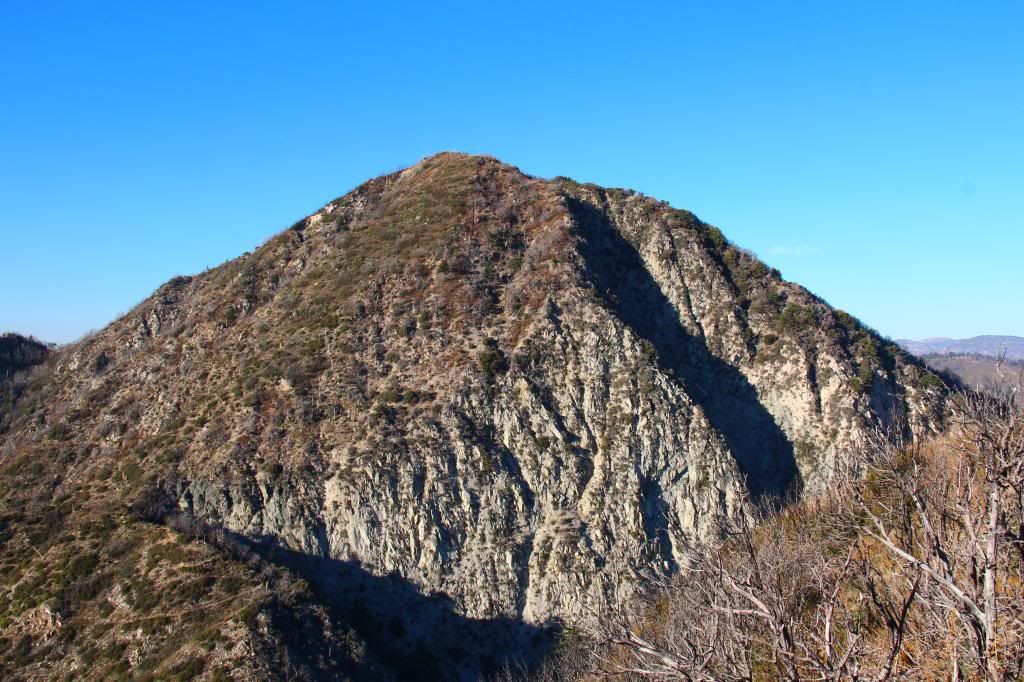
East face of Mt. Markham from Mt. Lowe Road
Image
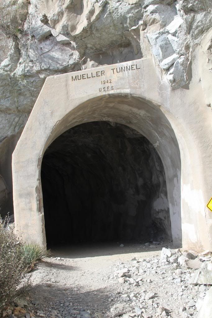
Entering the Mueller Tunnel

Image
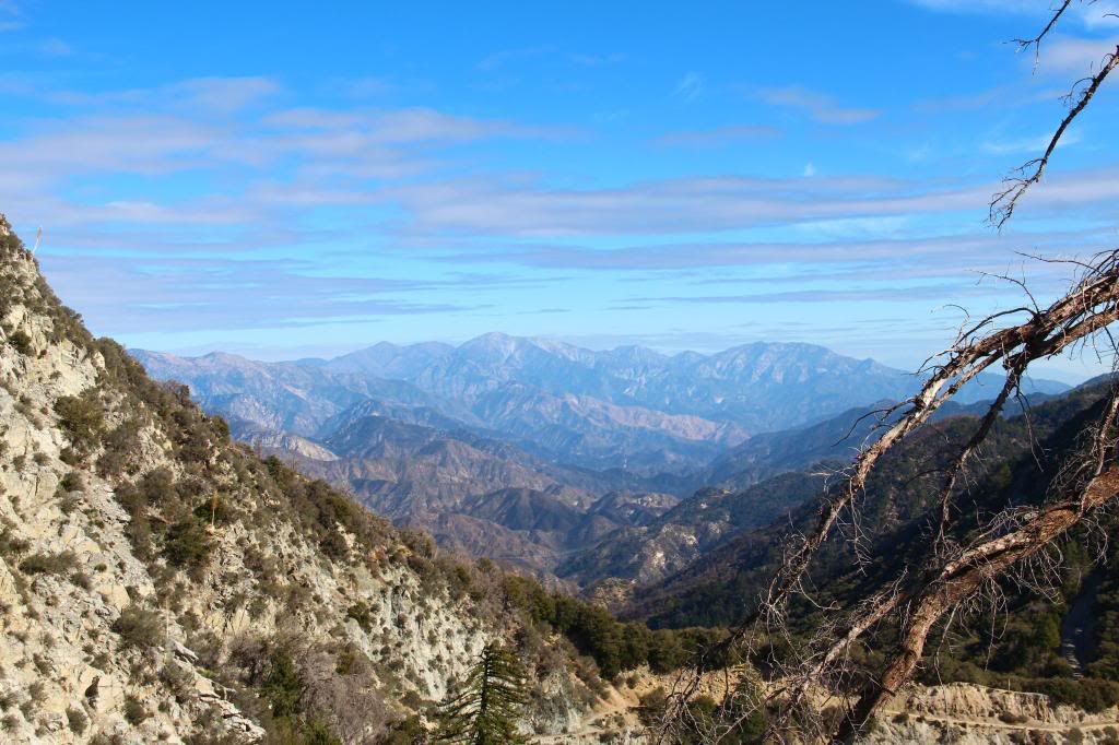
View east from the San Gabriel Peak trail
Image
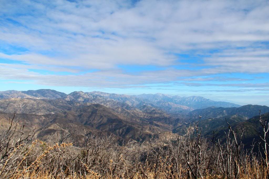
Summit View East

Image
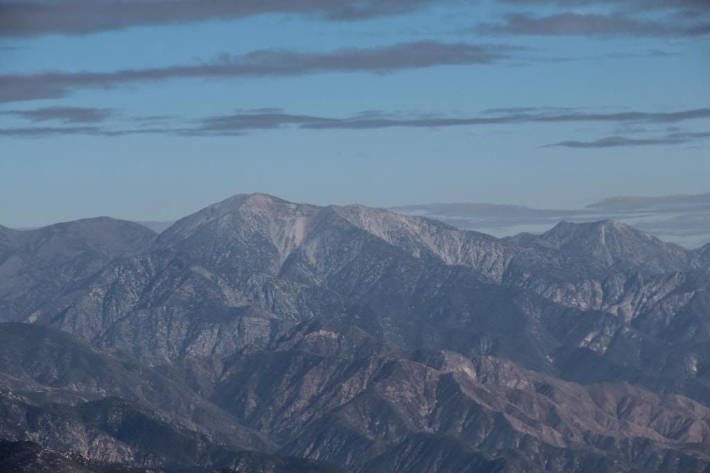
Close up

Image
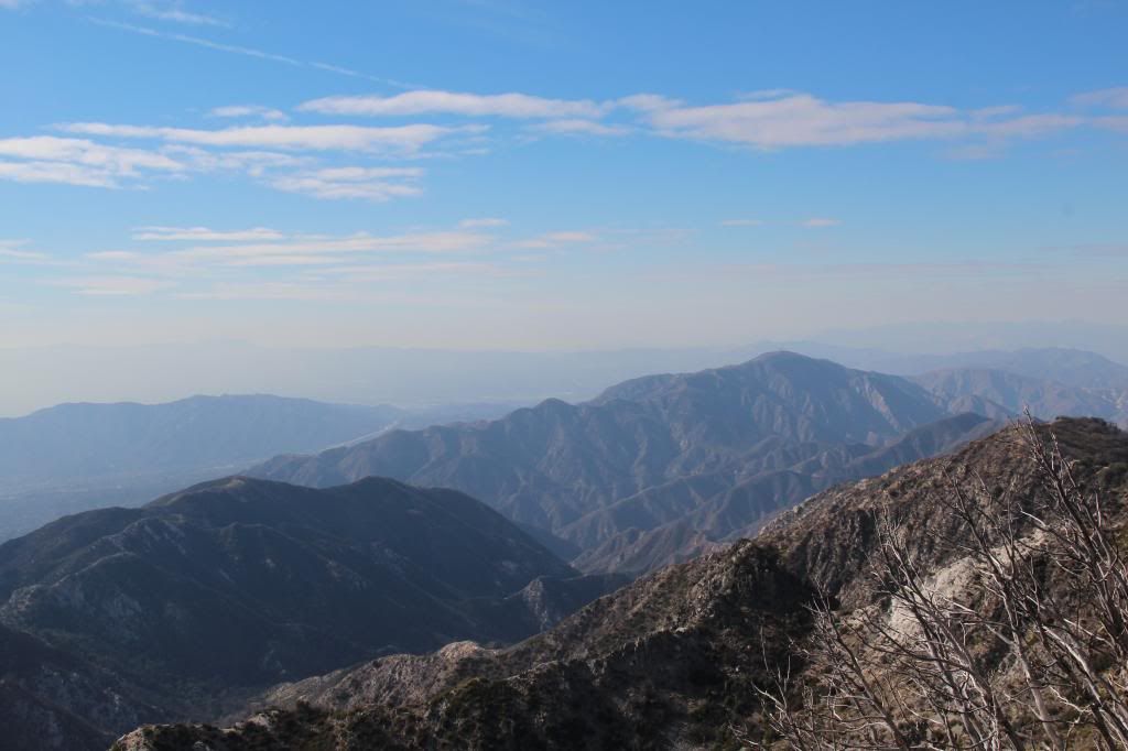
Summit View West

Image
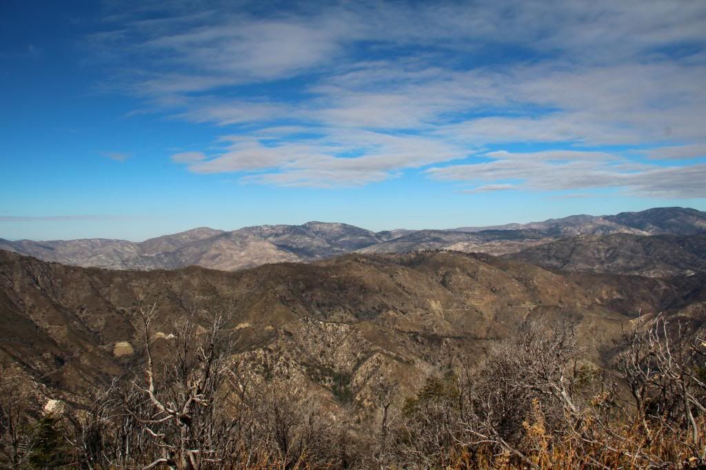
Summit View North

Image
Aptly named Mt. Disappointment

Image
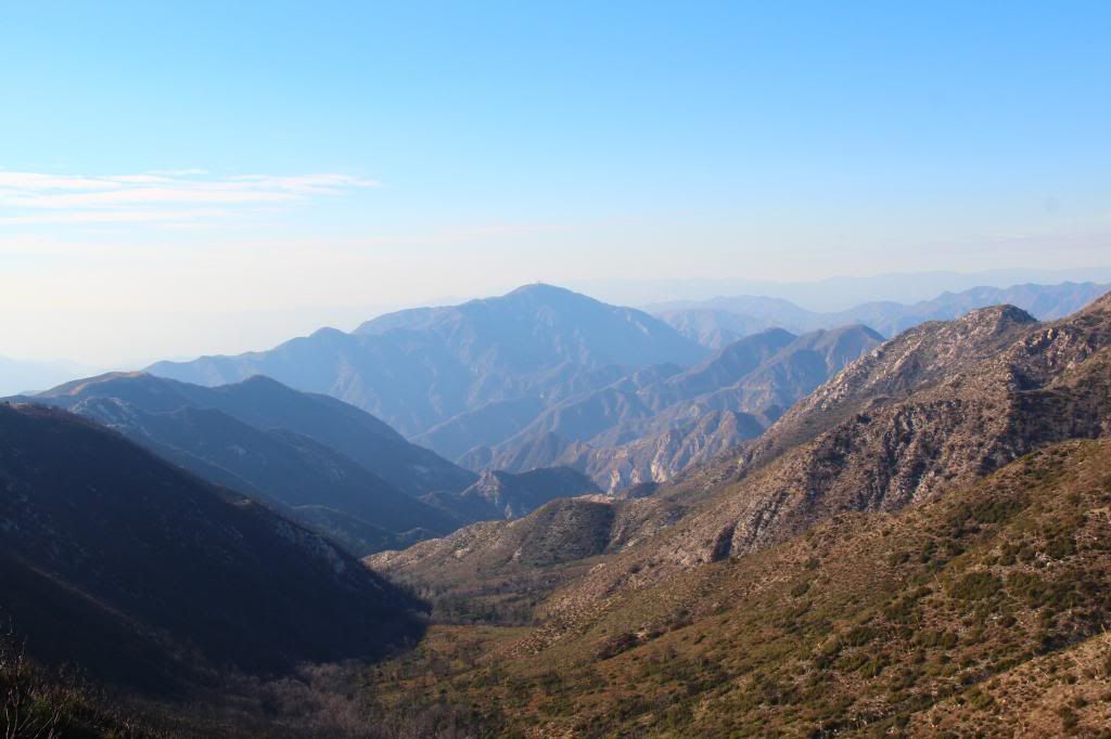
View west down Bear Canyon

Image
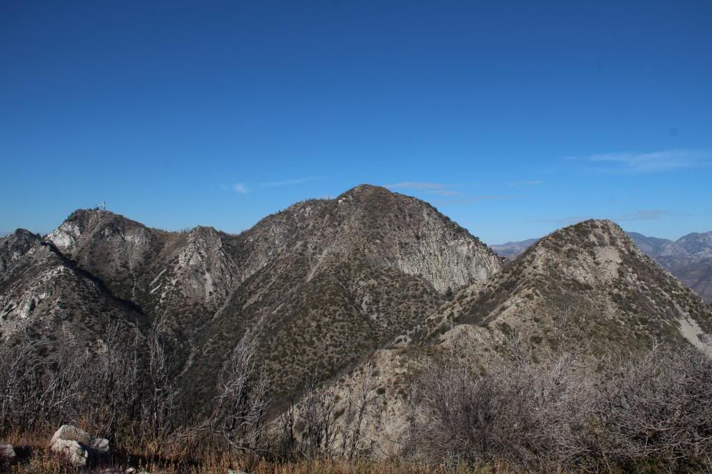
The 3 Amigos from Mt. Lowe summit- Disappointment (L), San Gabriel (C), Markham (R)
Image
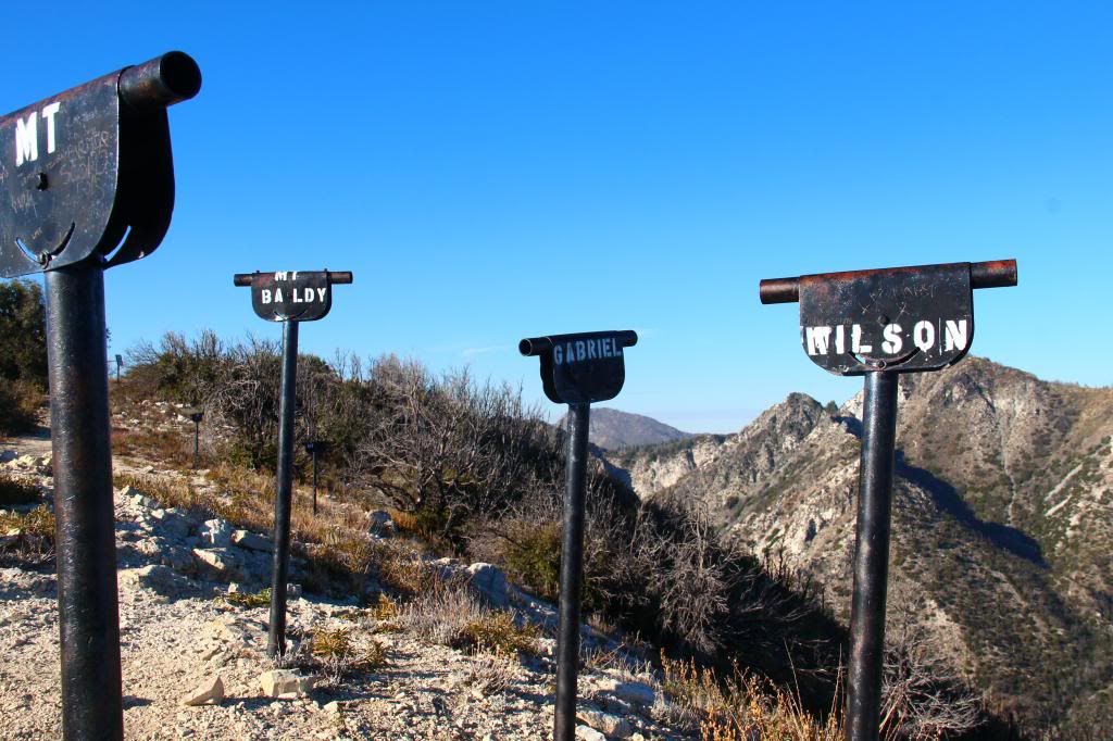
Viewfinders atop Mt. Lowe

Image
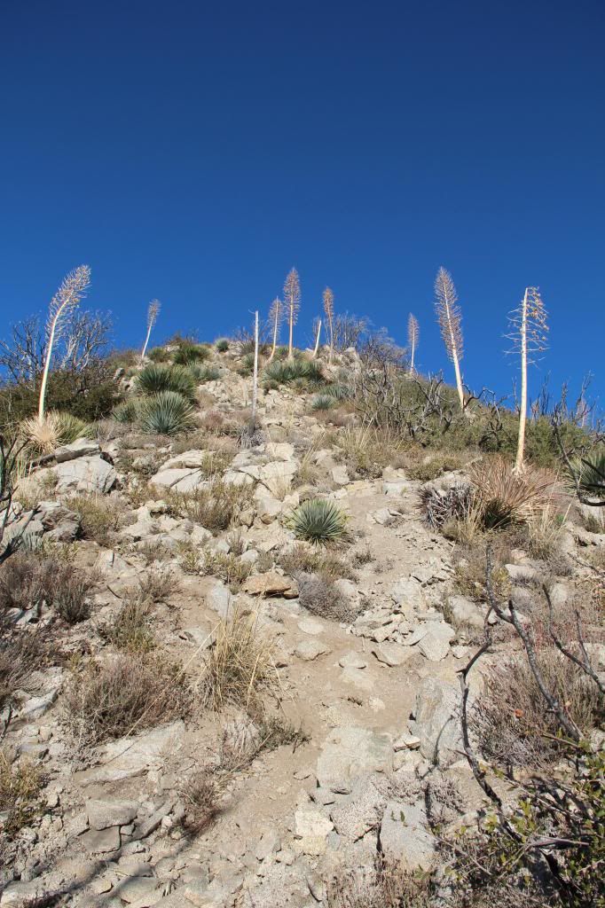
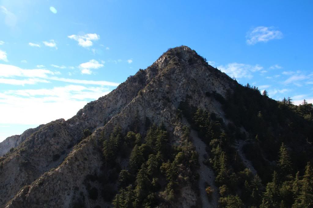
The route up the Markham ridge

Image
Massive San Gabriel Peak's south face from Mt. Markham
Image
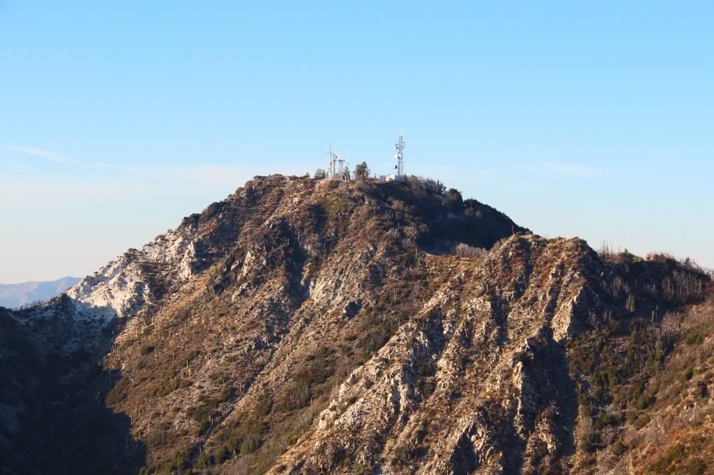
Mt. Disappointment as seen from Mt. Markham

Image
Redecorated Summit Register atop Mt. Markham.
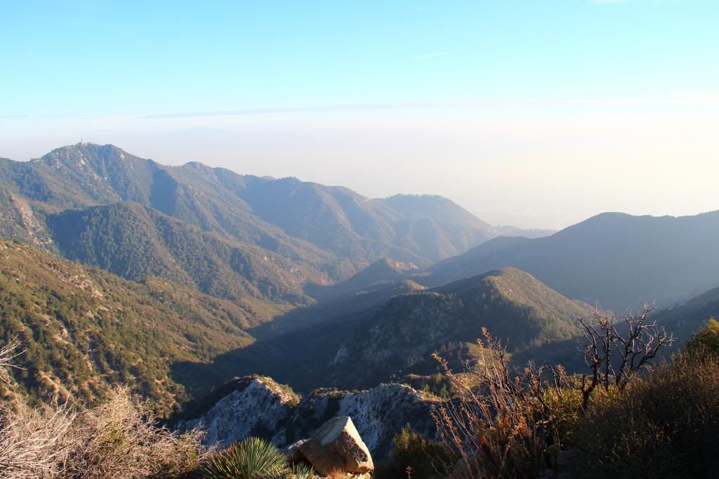
Image
View south down Eaton Canyon from Mt. Markham
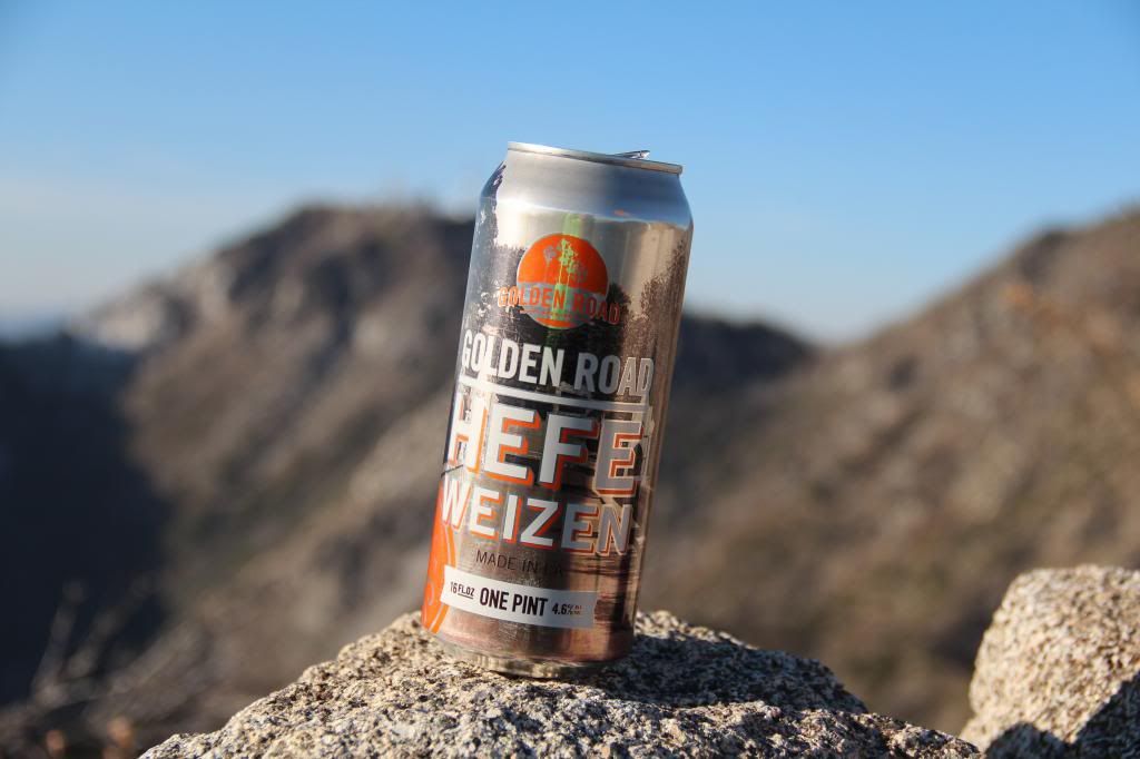
Image
Refreshments are served

Image
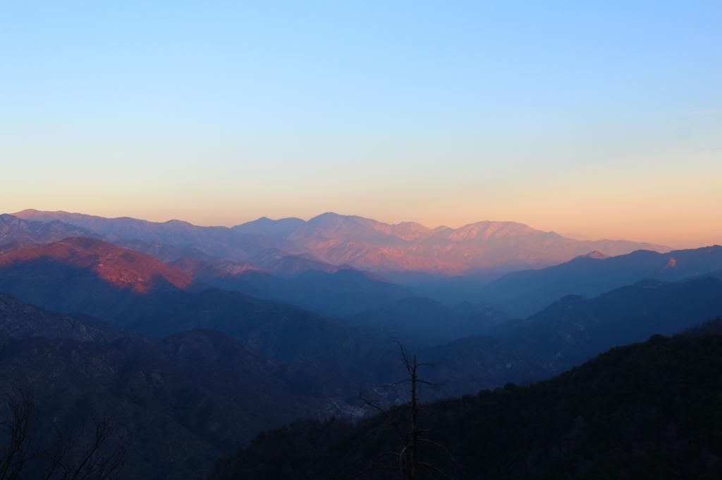
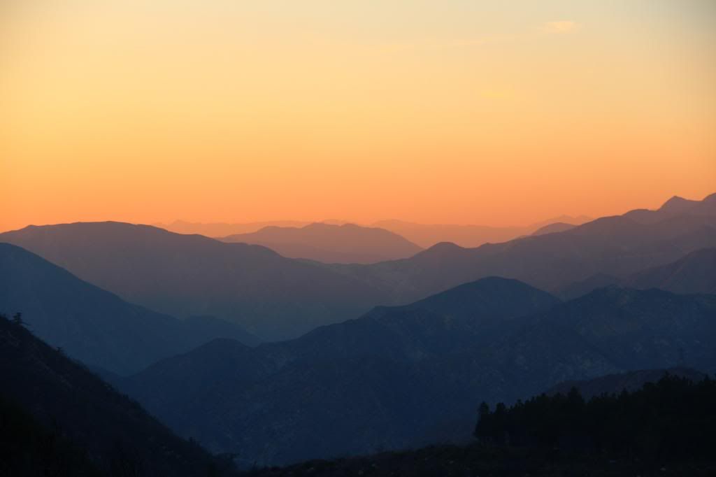
Fading light over the eastern range

Image
Into the sunset on the way back down the ACH
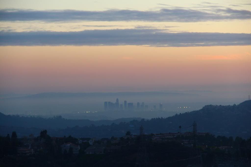
Image
City of Angels
User avatar
HikeUp
Posts: 3932
Joined: Thu Sep 27, 2007 9:21 pm

Post by HikeUp »

Awesome close-up of Baldy!

Thanks for update on the trails, etc.
User avatar
outwhere
Posts: 323
Joined: Sun Jan 25, 2009 5:40 pm

Post by outwhere »

Uncle Rico wrote: I continued on the trail here, branching off a short distance later on the trail to Mt. Lowe's summit. Once on top, I got to share the view with three beauties before they headed off greener summits.
I was gonna give you an A+++ for all these great pictures/TR but it seems you forgot to post one of the photos..... so you get an A++ You did take a photo of them, didn't you? :P

Fo' real doh - great shots! Thanks for sharin'...
User avatar
Uncle Rico
Posts: 1439
Joined: Thu Mar 20, 2008 7:48 pm

Post by Uncle Rico »

You did take a photo of them, didn't you?
I did indeed take several pics of them....with their cameras. :(
User avatar
mangus7175
Posts: 148
Joined: Wed Oct 12, 2011 3:03 pm

Post by mangus7175 »

Uncle Rico wrote:
You did take a photo of them, didn't you?
I did indeed take several pics of them....with their cameras. :(
Boo! LOL

Awesome photos as usual. I was on the other side of Lowe...Idlehour this past weekend. Sadly, no beauties :oops:
User avatar
tekewin
Posts: 1259
Joined: Thu Apr 11, 2013 5:07 pm

Post by tekewin »

Nice trip, Rico. It's a fun area with clumps of peaks.

Hey, where did you get the eispiraten stickers? Well done on the redecoration.
User avatar
Uncle Rico
Posts: 1439
Joined: Thu Mar 20, 2008 7:48 pm

Post by Uncle Rico »

Hey, where did you get the eispiraten stickers?
Hey teke- the SGDF fairies delivered them. Either that or simonov sent them to me. I either PM'd him or e'd him (I don't recall) and then one day many months later an envelope arrived in the mail with stickers. See this thread:

https://eispiraten.com/a ... t=stickers
User avatar
tekewin
Posts: 1259
Joined: Thu Apr 11, 2013 5:07 pm

Post by tekewin »

Cool, thanks. Maybe I can score some and spread the word.
User avatar
JeffH
Posts: 1234
Joined: Sun Nov 28, 2010 7:09 am

Post by JeffH »

Uncle Rico wrote: ....... there is still a fair amount of PDB encroaching on the path in places and I'd probably wear long pants if I was to do this route again. I suppose I'll know in a day or two how successful I was in avoiding the nasty stuff.
Just the fact that you can talk about wearing shorts in the middle of January is sad.

Like those late afternoon shots, especially the pic of downtown LA.
"Argue for your limitations and sure enough they're yours".
Donald Shimoda
User avatar
walker
Posts: 248
Joined: Mon Apr 08, 2013 11:14 pm

Post by walker »

Nice pics, Uncle Rico. And great to run into you on Muir a little while back. Always nice to put a face to the name, as it were.

IMHO, Mt. Disappointment is not nearly as disappointing as its name suggests. The trail that starts just after the Red Box turnoff is a very nice stroll through the woods and in spite of the asphalt on top, there's a very dramatic view down some cliffs on the WSW side of the summit. There's also an intriguing pinnacle to the south that looks like certain death, or else some kind of adventurous outing for those who are inclined to that sort of thing.
User avatar
sesshin
Posts: 24
Joined: Tue Nov 12, 2013 11:53 pm

Post by sesshin »

Did this same hike today. It was really cold! Clear and beautiful though.

Oodles of poodle, especially on Markham. I was having to squeeze between it at times.
User avatar
Uncle Rico
Posts: 1439
Joined: Thu Mar 20, 2008 7:48 pm

Post by Uncle Rico »

Went back here this weekend and repeated this hike substituting Disappointment for Lowe. The Poodle on Markham is still there, but much diminished and easily avoidable. A fun afternoon.

http://wildsouthland.blogspot.com/2017/ ... -pack.html
User avatar
JeffH
Posts: 1234
Joined: Sun Nov 28, 2010 7:09 am

Post by JeffH »

Excellent story, it's a great reminder to get out and enjoy the area all around us.
"Argue for your limitations and sure enough they're yours".
Donald Shimoda
User avatar
AW~
Posts: 2064
Joined: Mon Oct 01, 2007 12:00 pm

Post by AW~ »

Cool..hows the graffiti on the closest to car segment?
Markham is definitely an asset...I went out on a marine layer day last year to it....and have it on my list to complete.

Conclusion: Muir was on Markham's south ridge at least to elev 4600. He doesnt say which way he headed next unfortunately. Thats my story and im sticking to it.
User avatar
Uncle Rico
Posts: 1439
Joined: Thu Mar 20, 2008 7:48 pm

Post by Uncle Rico »

Cool..hows the graffiti on the closest to car segment?
Graffiti looked like it had recently been covered over so there was not much that was immediately visible. But there was a little bit in the tunnel. One tag urged me to call my mom. :?
Post Reply