Dry Lakes Ridge
-
Uncle Rico

- Posts: 1481
- Joined: Thu Mar 20, 2008 7:48 pm
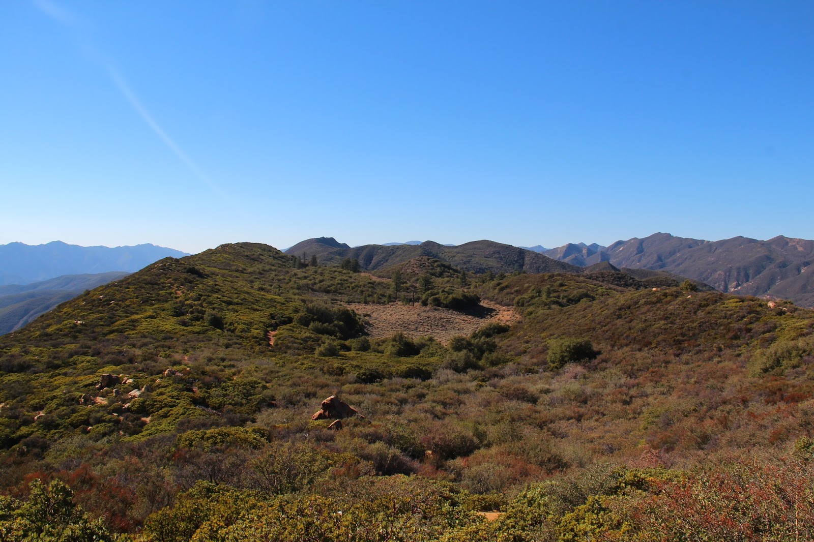
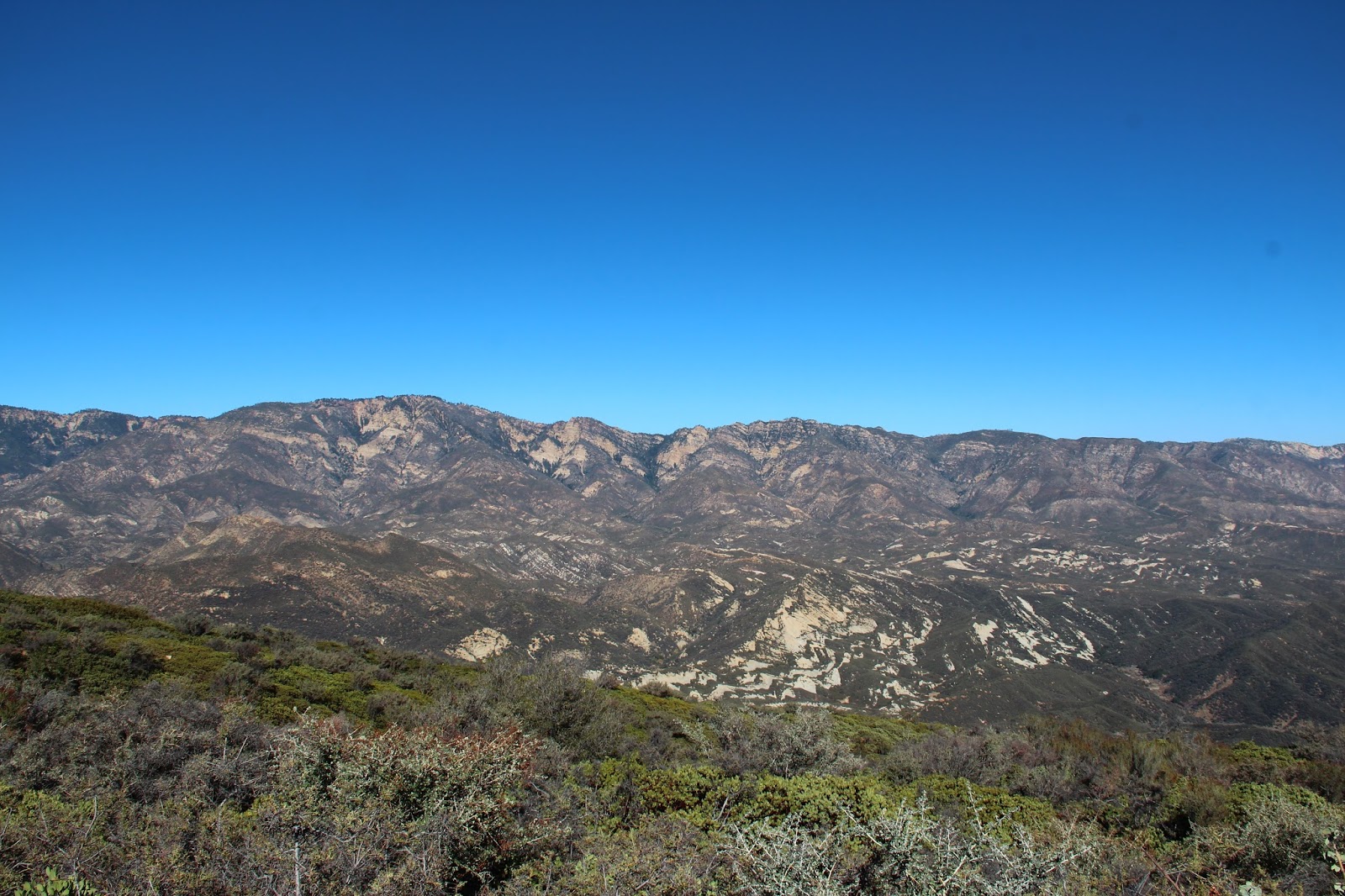
Made my way to Dry Lakes Ridge in the Los Padres last weekend for a short exploratory. Really neat area. I'm pretty certain that with a shuttle, you can make this into something significantly longer by continuing on the ridgeline to its intersection with the Ortega Trail and then dropping back down to Highway 33. Has anybody done that? http://wildsouthland.blogspot.com/2016/ ... ridge.html
-
EnriqueFreeque
- Posts: 13
- Joined: Fri Aug 12, 2016 7:51 pm
I've seen Dry Lakes Ridge on my old Tom Harrison topo of "Sespe Country" countless times—so cool to actually see that little visited, rare country terrain. I've been to Rose Valley Falls numerous times, a bit to the east. Next time I'm out that way, I'll take a look at the Heliport "trailhead" and give it a try. I wonder if the 4th Dry Lake could become a real lake again with enough rain? That would be incredible to see. Are you allowed to camp in that protected area, do you know? Great trip report!
-
Uncle Rico

- Posts: 1481
- Joined: Thu Mar 20, 2008 7:48 pm
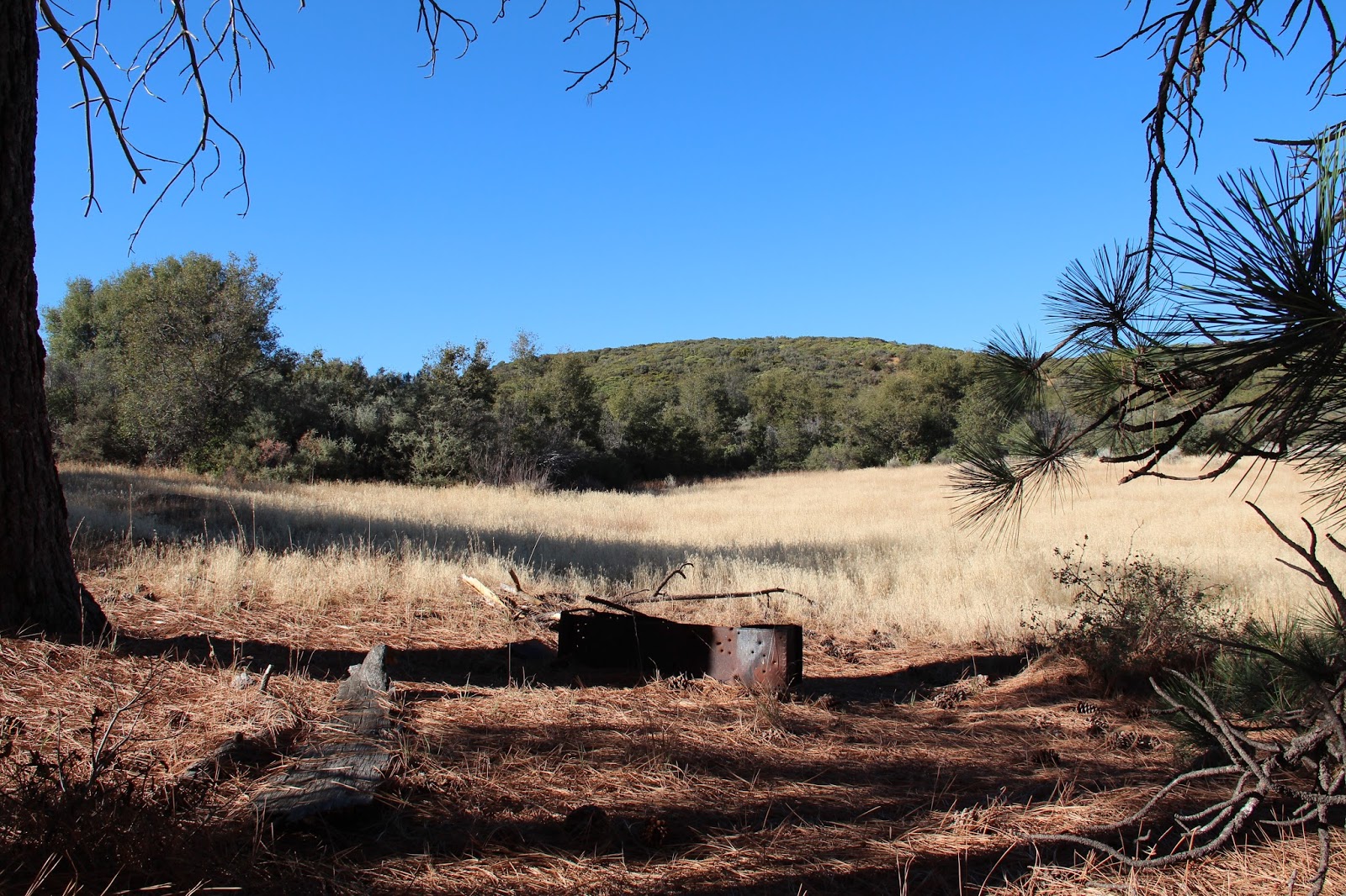
Thank you kind Sir. To be honest, I don't know if camping is prohibited here, but I've never seen anything to suggest that it is. The 4th basin would be a fine place to spend the night.EnriqueFreeque wrote: I wonder if the 4th Dry Lake could become a real lake again with enough rain? That would be incredible to see. Are you allowed to camp in that protected area, do you know? Great trip report!
And speaking of the basins, I've learned that they are not in fact dry lake beds at all, but fault-related features. From hikelospadres.com (quoting David L. Magney):
"The main geographic feature of Dry Lakes Ridge is the summit basins, which are not, and never were, lakes; rather, the basins are fault-related features, where the rock has been ground up from successive movement of thrust faults." http://www.hikelospadres.com/dry-lakes- ... DL54vkrIdV
From that same site:
"The summit basins contain a relictual stand of Ponderosa Pine, associated with Great Basin Sagebrush Scrub, surrounded by different types of chaparral."
Probably more than you wanted to know. 8)
-
AW~

- Posts: 2096
- Joined: Mon Oct 01, 2007 12:00 pm
Good deal....some good looking routes in Ojai.
-
bsmith
- Posts: 119
- Joined: Wed Oct 28, 2009 7:36 pm
uncle rico.
yes. another wanderer of our area, perry v.h., did exactly that. he and i had gone up to dry lakes ridge some time back. we decided we'd have to do ortega one day. he just got tired of waiting for me and just did it.
the best plan is to leave a vehicle at the southern ortega trailhead - which may soon be relocated to a safer location - on your way up the 33 to the heliport / dry lakes ridge trailhead. hike through dry lakes and continue on to ortega. hang a left and down you go to your awaiting vehicle on the 33.
very doable as a day hike - bring water as there isn't any up there.
and to get snookered by the dry lakes 'left' trail-to-nowhere - well, you're not the first.
-
Uncle Rico

- Posts: 1481
- Joined: Thu Mar 20, 2008 7:48 pm
Thanks for the confirmation bardley. I also found a trip report by Stillman from 2012 where he connected to the Ortega trail from the ridge as well. But in typical Stillman fashion, he then continued along the Ortega trail to the junction with the trail down the North Fork Matilija and spit out in Matilja canyon.
http://davidstillman.blogspot.com/2012/ ... il-to.html
http://davidstillman.blogspot.com/2012/ ... il-to.html
Good to know that I'm in bad company. 8)and to get snookered by the dry lakes 'left' trail-to-nowhere - well, you're not the first.
-
tekewin

- Posts: 1385
- Joined: Thu Apr 11, 2013 5:07 pm
Another nice trip in the remote Los Padres, Rico.
Is there something in the soil that keeps the larger vegetation from filling in the "dry lakes"?
Is there something in the soil that keeps the larger vegetation from filling in the "dry lakes"?
-
bsmith

- Posts: 119
- Joined: Wed Oct 28, 2009 7:36 pm
for the definitive answer to your question you can download (free) david l. magney's book "A flora of Dry Lakes Ridge, Ventura County, California".
https://archive.org/details/floraofdrylakesr00magn
he's the expert on this fascinating area. it's a good read. not overly dense.
and there must be a very, very large aquifer under this ridge as bellyache spring - along the 33 - continues to flow to this day - when all other springs have been dry for some time.
