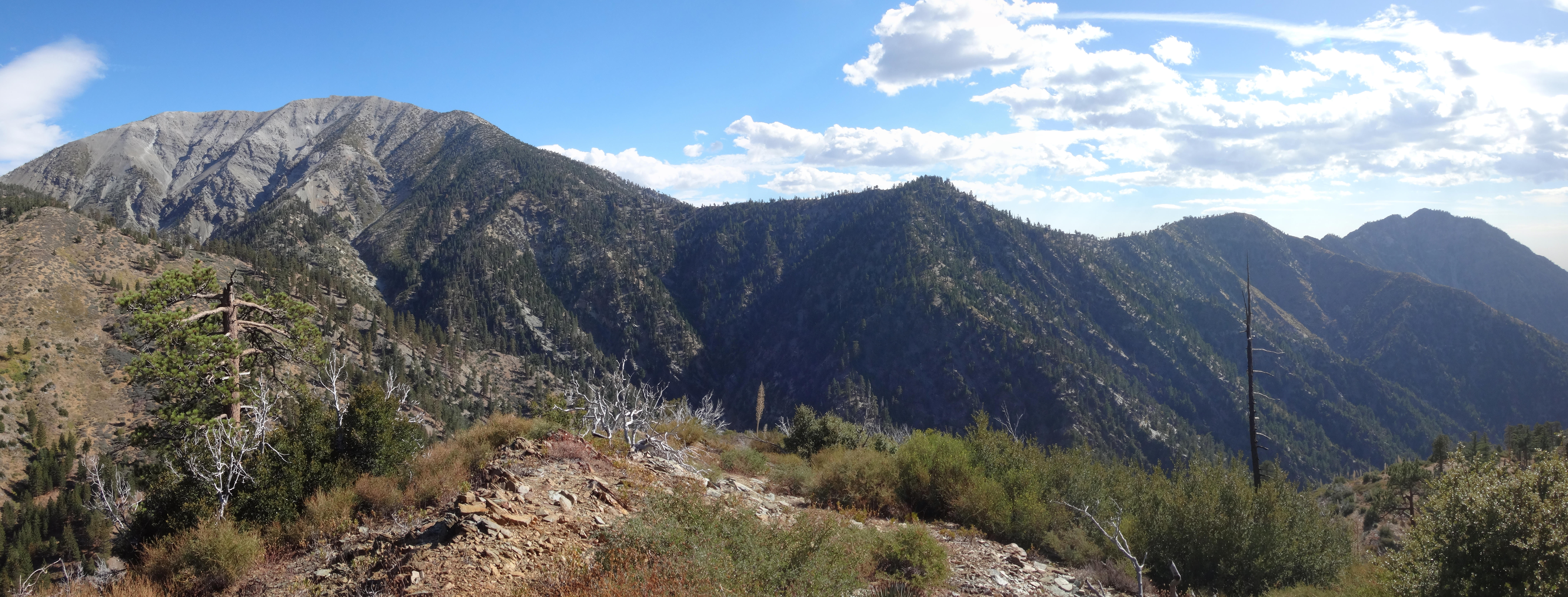
The Blue Ridge Road was closed at the entrance to Guffy, preventing us from driving closer to the Lupine Road. So we parked at the campground and took the PCT down to our road junction. Despite it being closed, the Lupine Road revealed evidence of recent vehicular traffic, perhaps a jeep, judging by the tire width and tread type. The road itself had two main problems, a landslide after the 7825' switchback,
and the major washout down in the Prairie Fork crossing.
A very rocky road bypass goes up and around the worst of the washout, but it's clearly not ready for primetime.
Also of note, the Lupine Road Spring, near the landslide, is still pooling quite well. If necessary, one could scoop plenty of water from this source. And some sort of cherry or berry looks ripe along the roadside.
Down on the wide, canyon floor many young pine trees have popped up in bunches, which was nice to see.
We turned onto the old Fish Fork Trail (former logging road).
Much of this trail is a great mess.
On the Prairie Fork side it's less bad, with light, knee-high brush. But on the Fish Fork side, sometimes head-high thorns have spread across the whole roadbed, pushing travellers to the steep edge or rocky upslope to bypass. Also, a large landslide has buried about 150 feet of the trail.
Fortunately, a volunteer trail crew has opened a narrow track through the debris.
Back on the Prairie Fork side, a reader or two might like to know that the Lupine Camp Spring is flowing.
Our ultimate goal was Wild View Peak.
This is a Sierra Club peak, so I don't need to spend too much time describing it. Basically it's the 7258' bump to the right of the trail, before the path begins switchbacking down toward the stream.
(Leaving the main trail, heading to Wild View Peak.)
(Cecelia on the peak, holding up the register container.)
(The summit.)

(View from the summit.)
