

(First tank we encountered, a little below the road at an early switchback.)
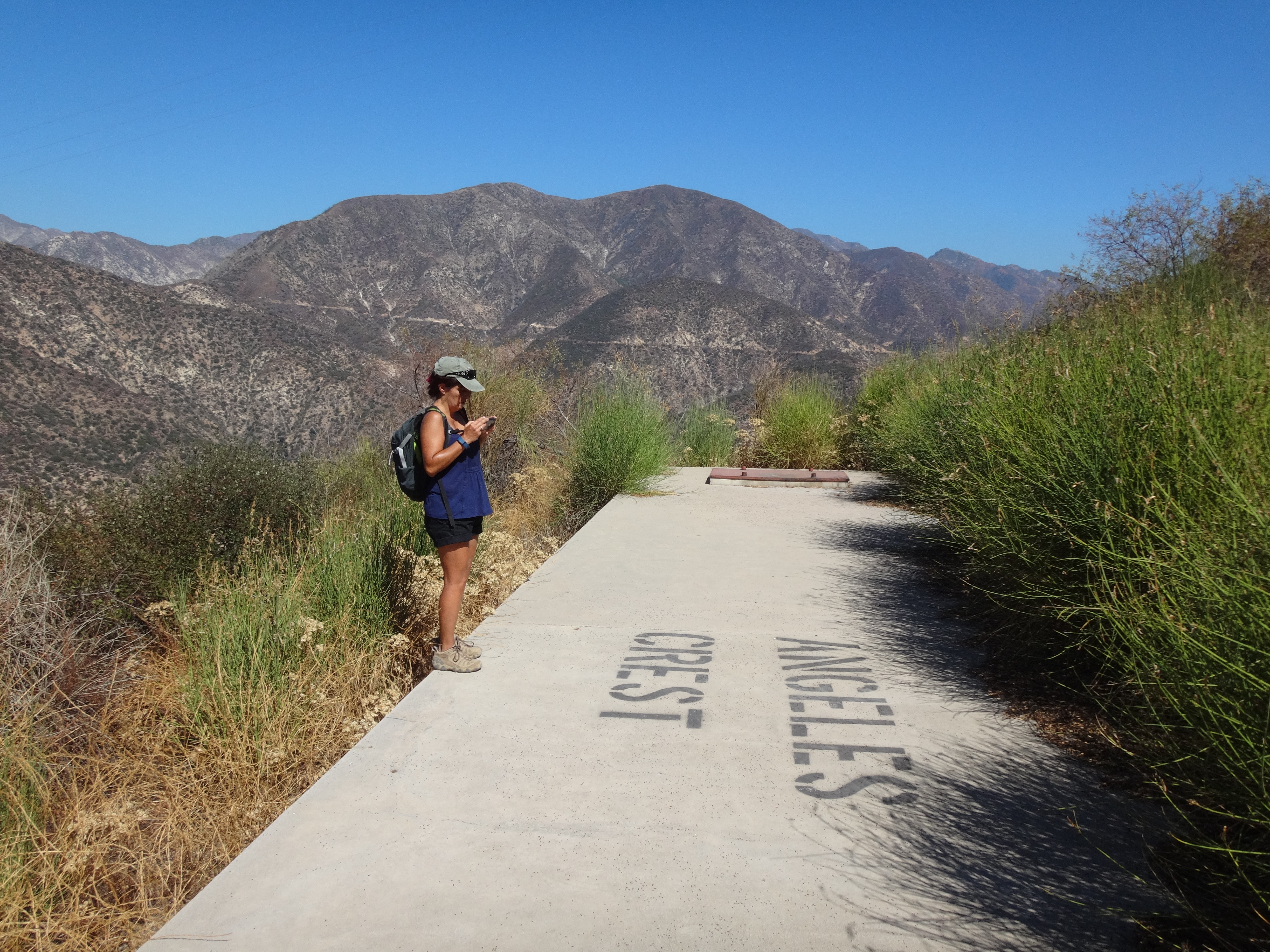
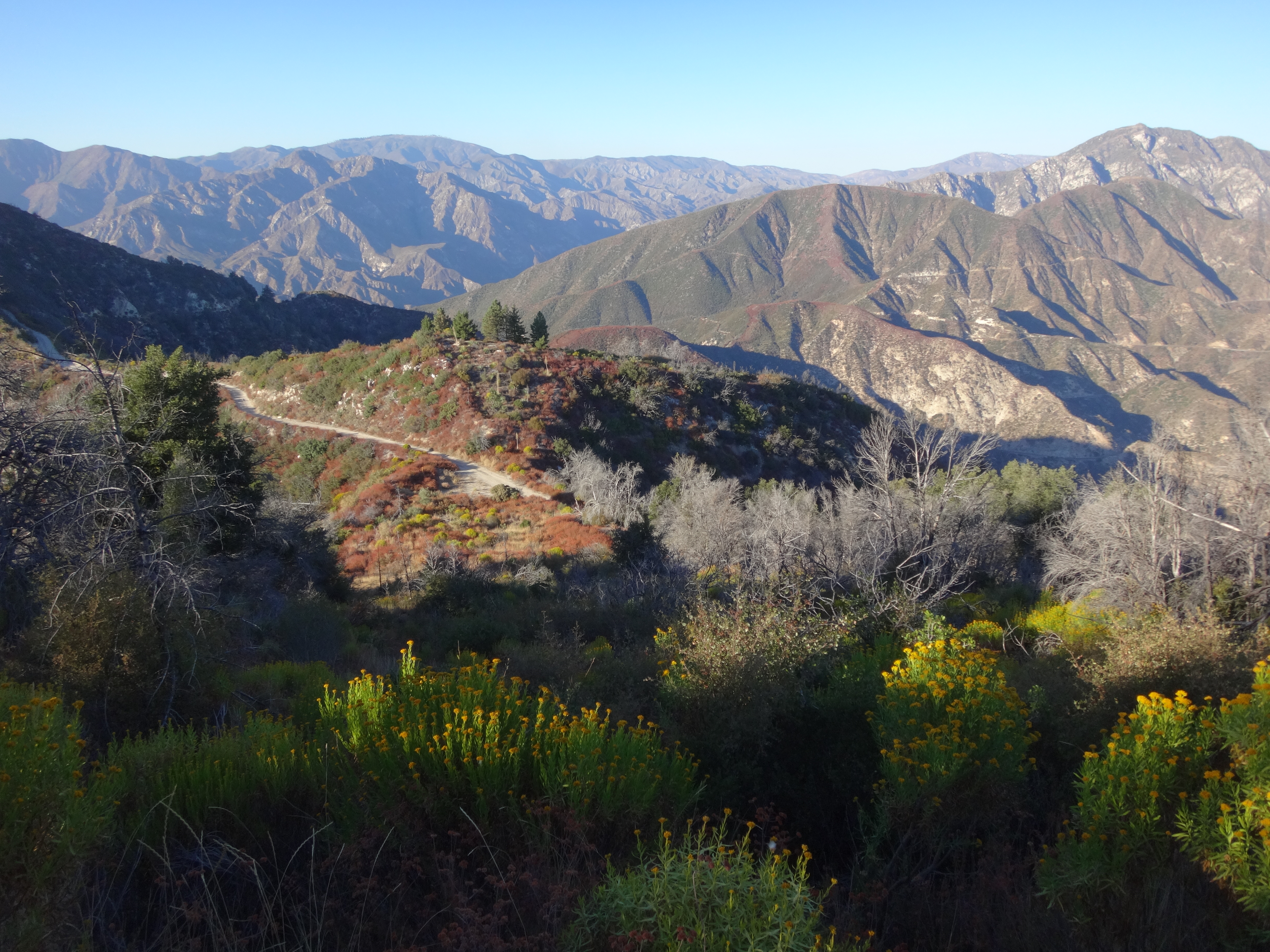
(View of Hawks and Pickens)
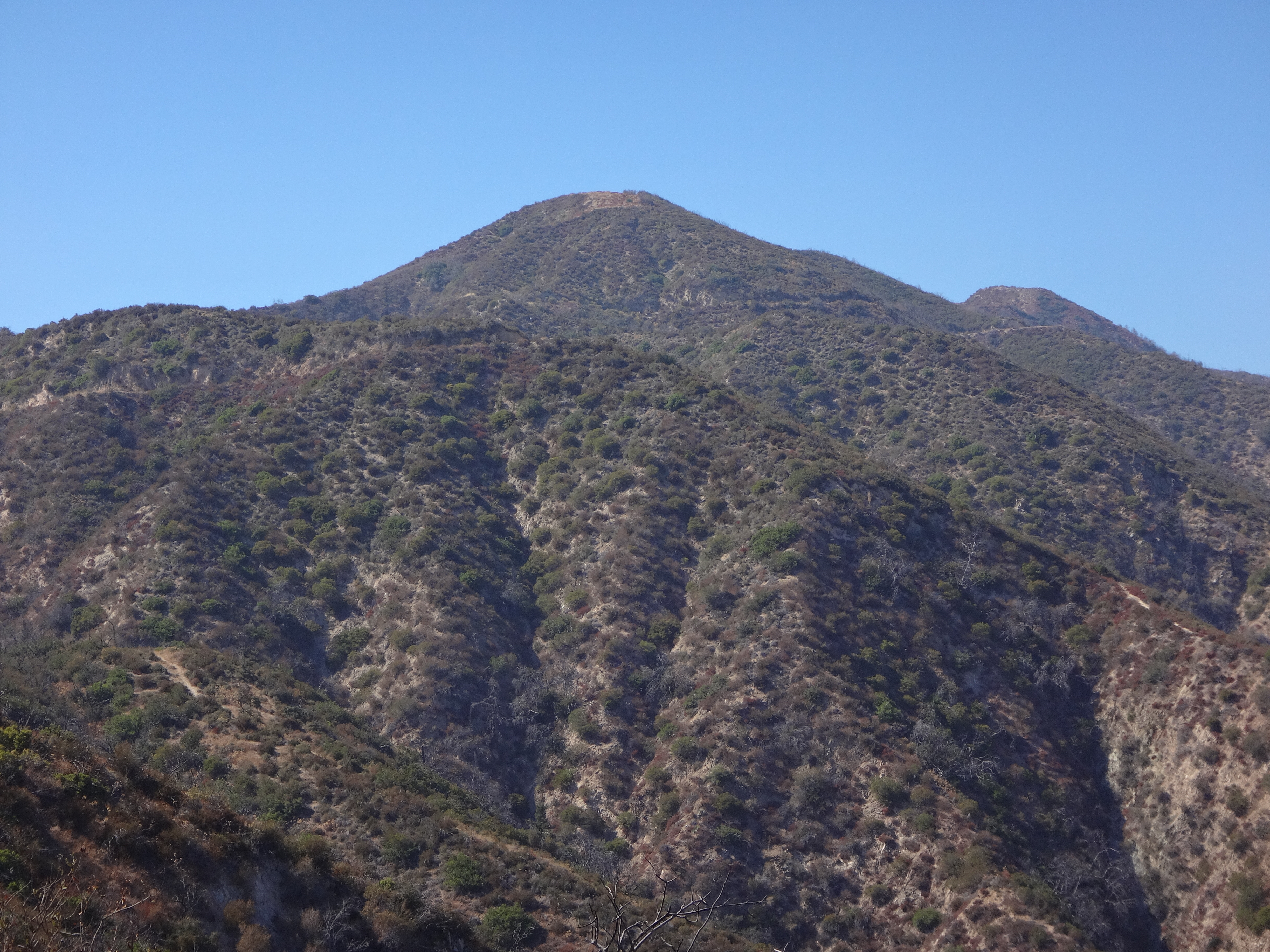
(Mesa tank at junction with Bee Flat road. Hawks Peak in background.)
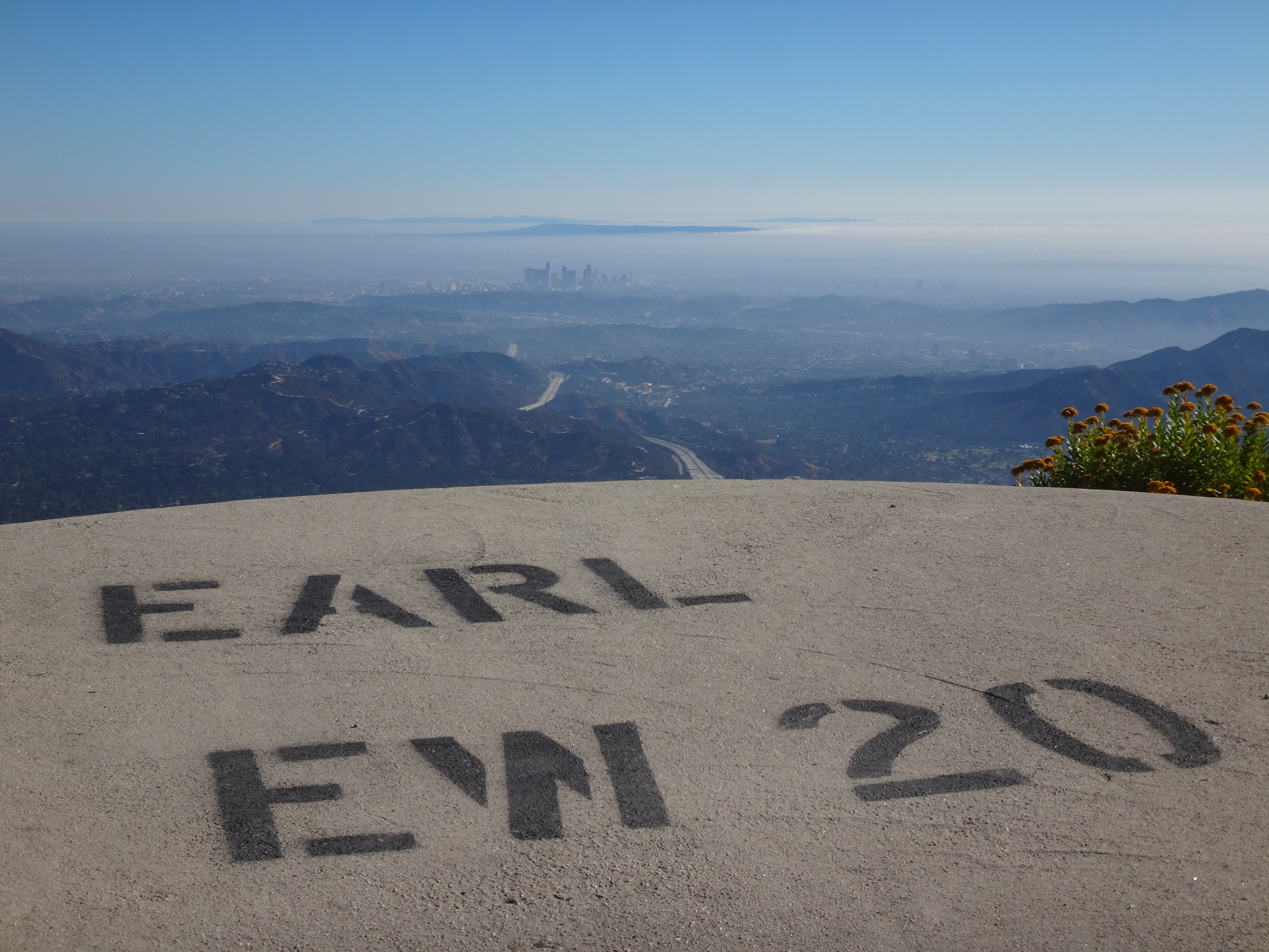
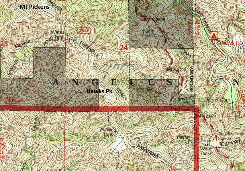
(Earl tank at junction with Earl Canyon Motorway. Looking out toward downtown LA.)
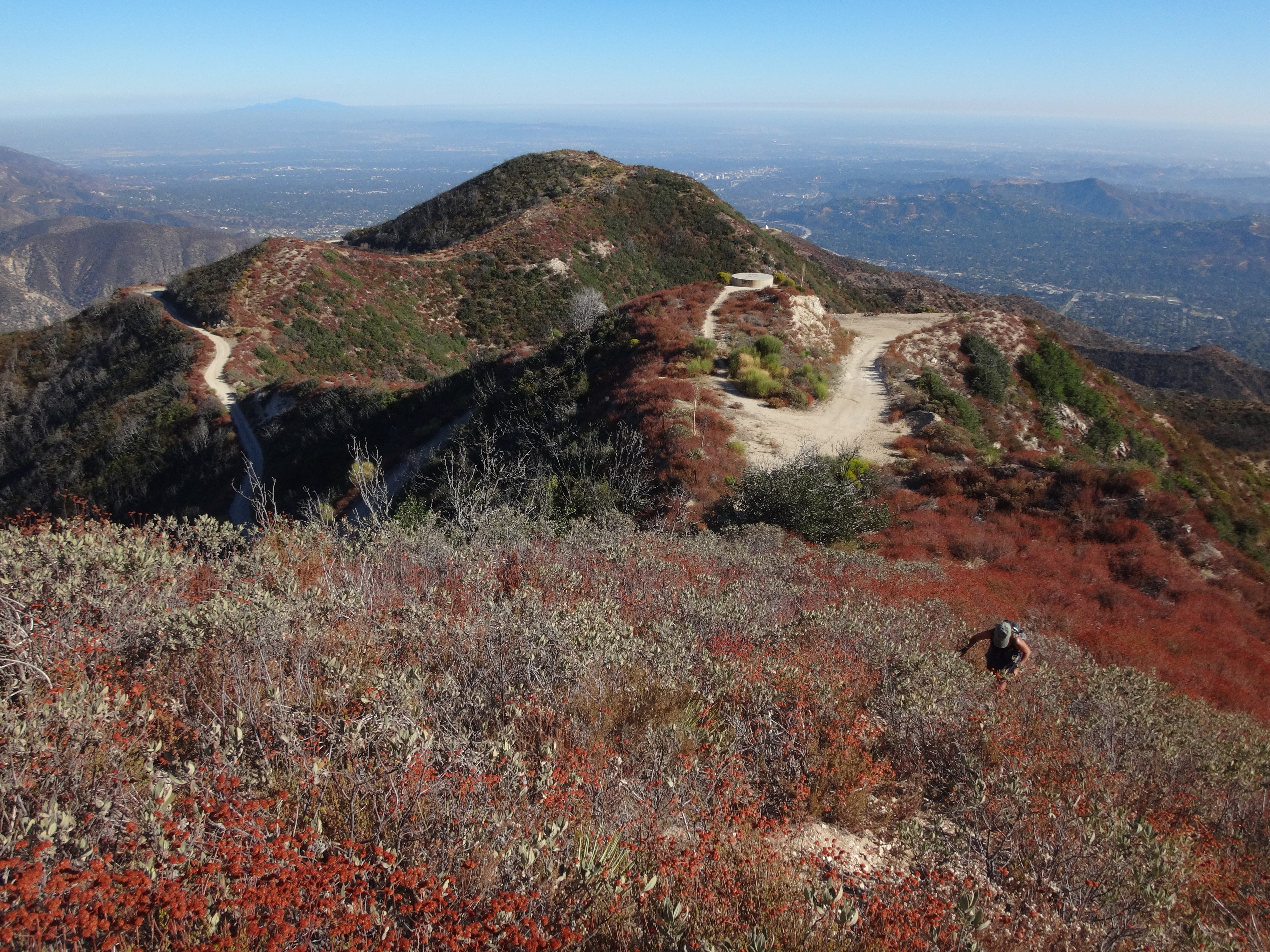
(Scrambling up-ridge from the Earl tank, heading to Mt. Pickens.)
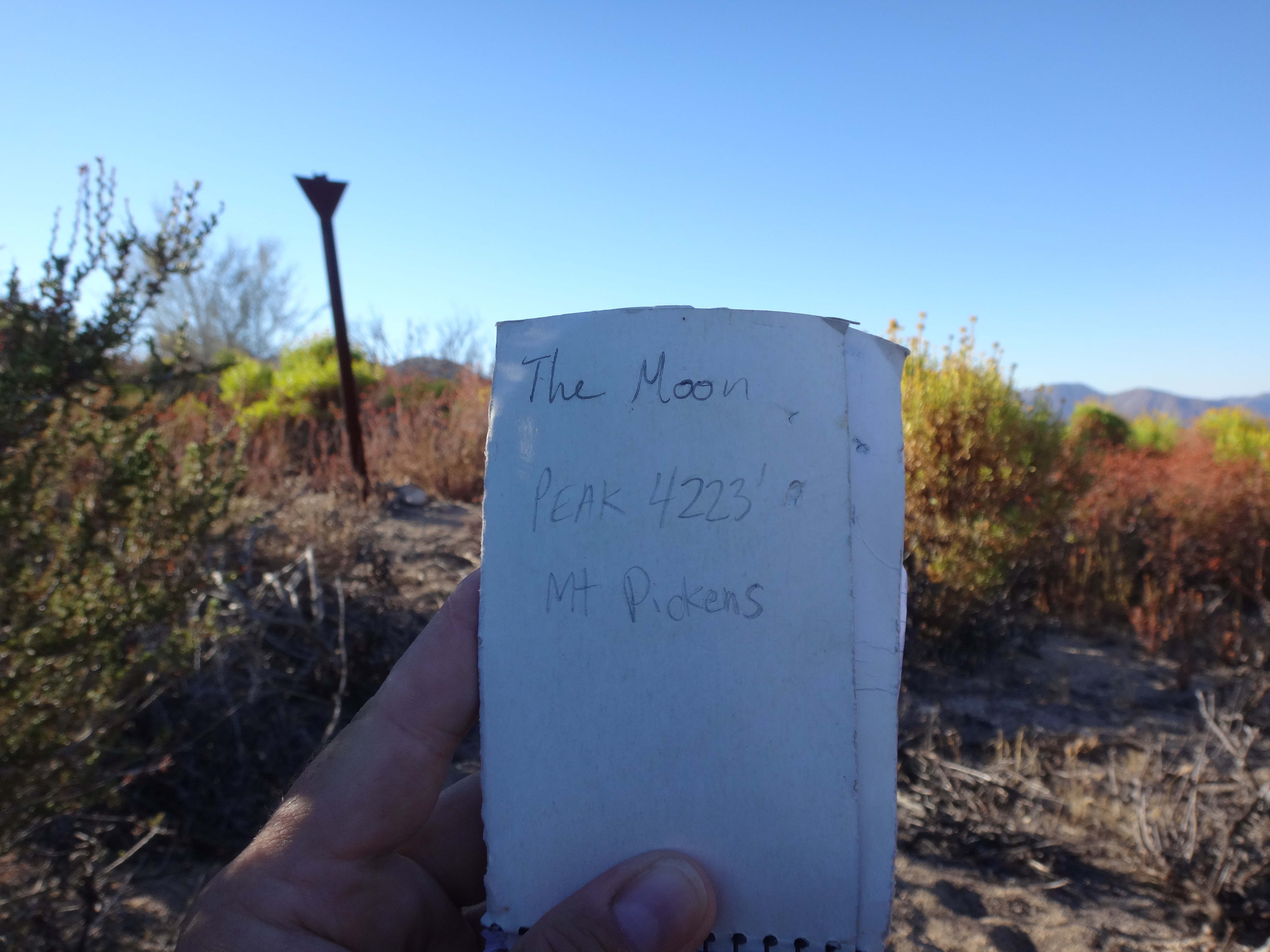
(Strangely, someone had placed a register for "The Moon" on Mt. Pickens. Peakbagger indeed has a summit called The Moon, but it's over by Soledad Canyon. So I added Mt. Pickens to the title page.)
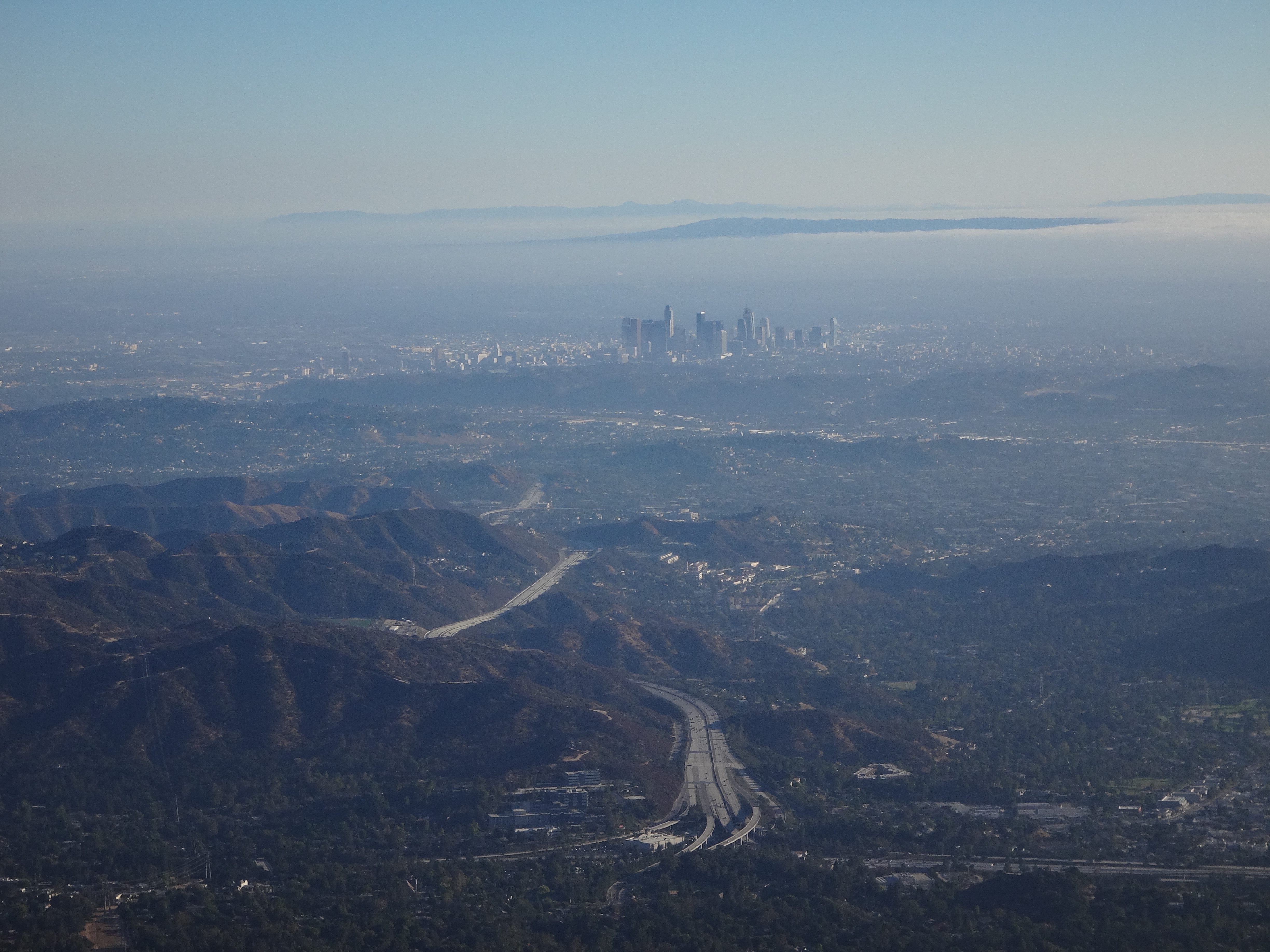
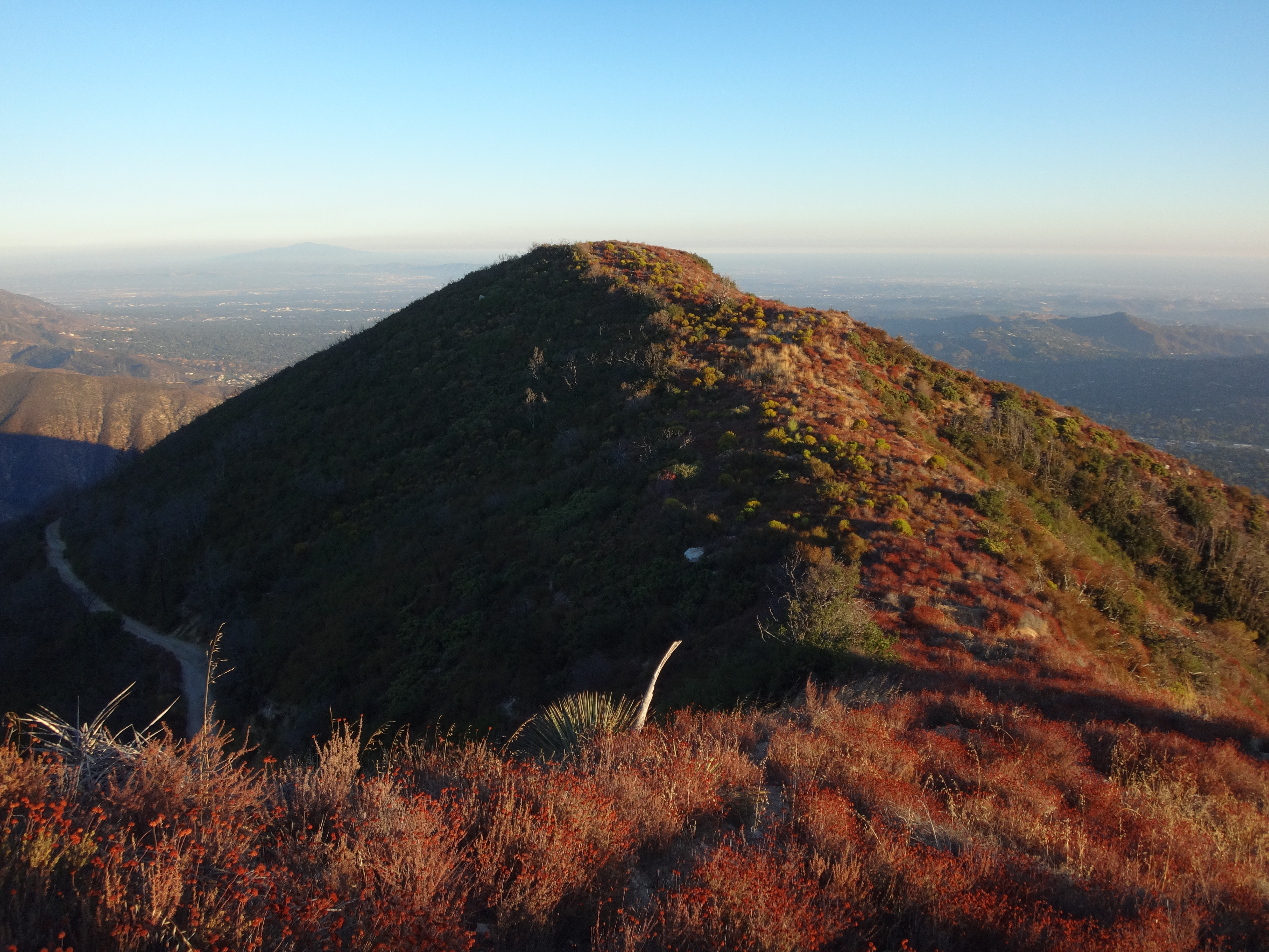
(View of LA from Pickens)
(Dropping down the north ridge of Pickens.)
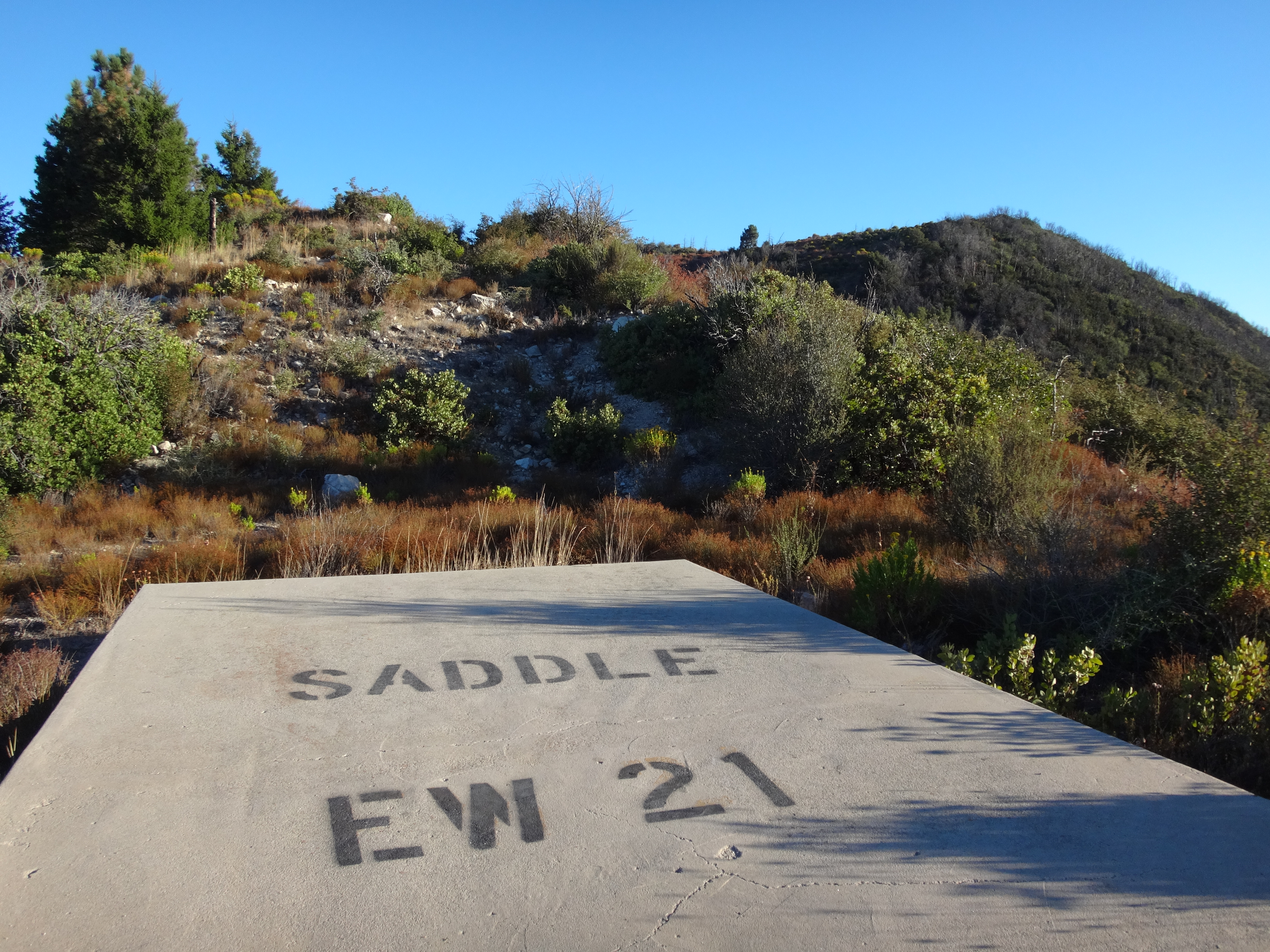
(Saddle tank, at the junction with Grizzly Flats Road.)
We turned around at Saddle tank, five miles from our starting point at the Angeles Crest Station. On the way back we hit up the parallel ridge route to Peak 3791 and Hawks Peak.
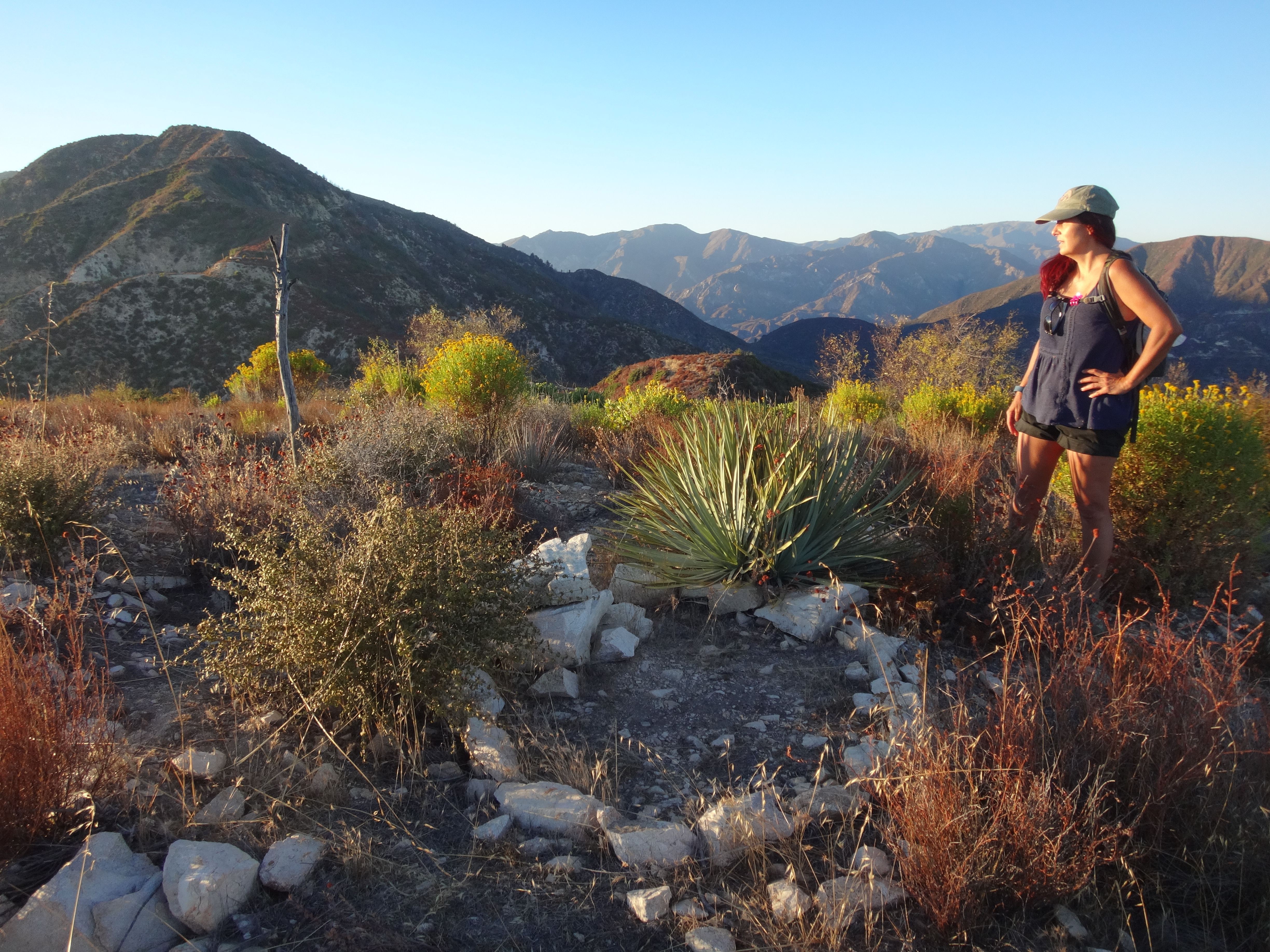
(Rock ring on Peak 3791')
(Viewing Hawks Peak from 3791 around sunset.)
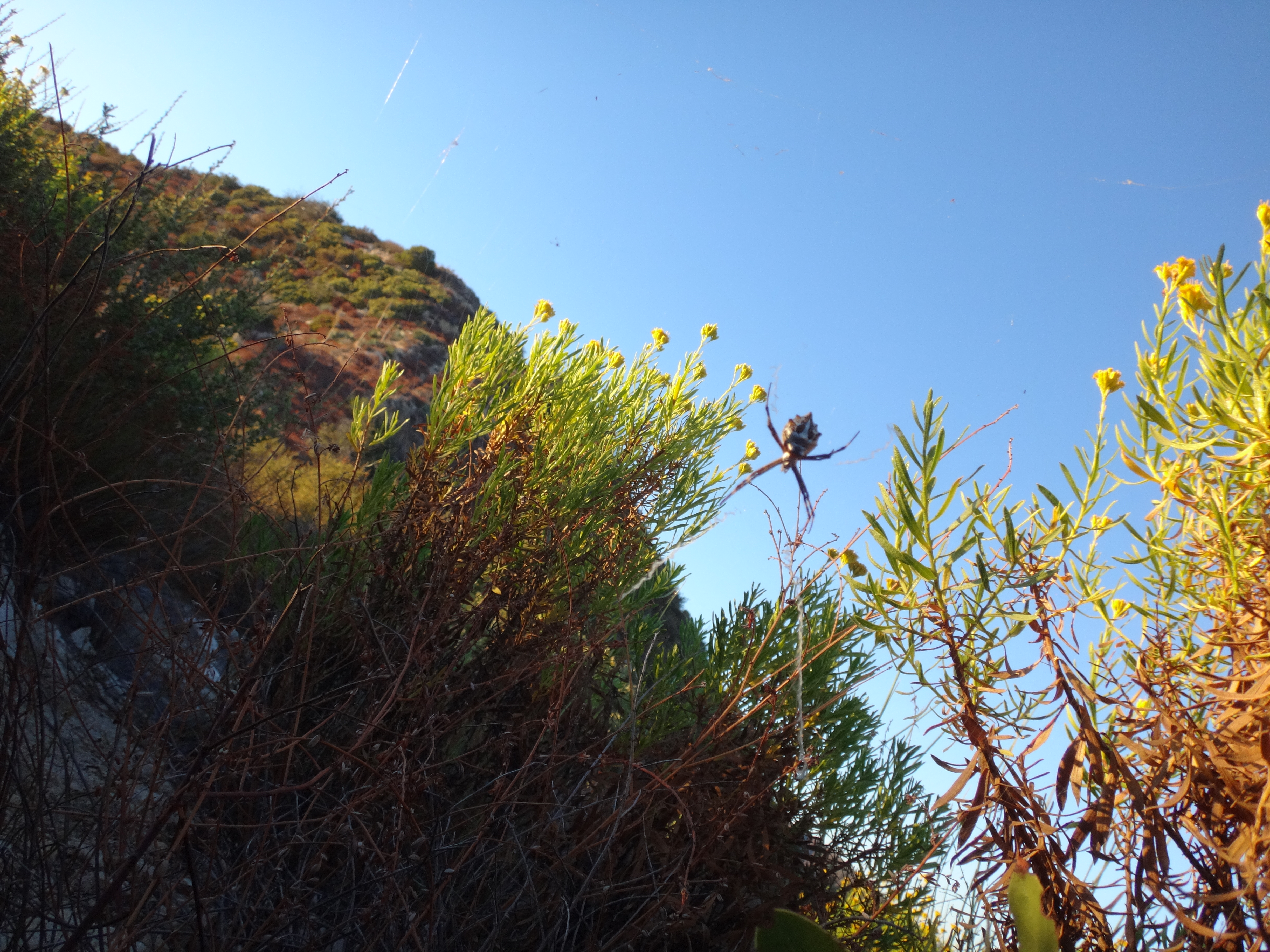
(Almost walked into this creepy crawly's web.)
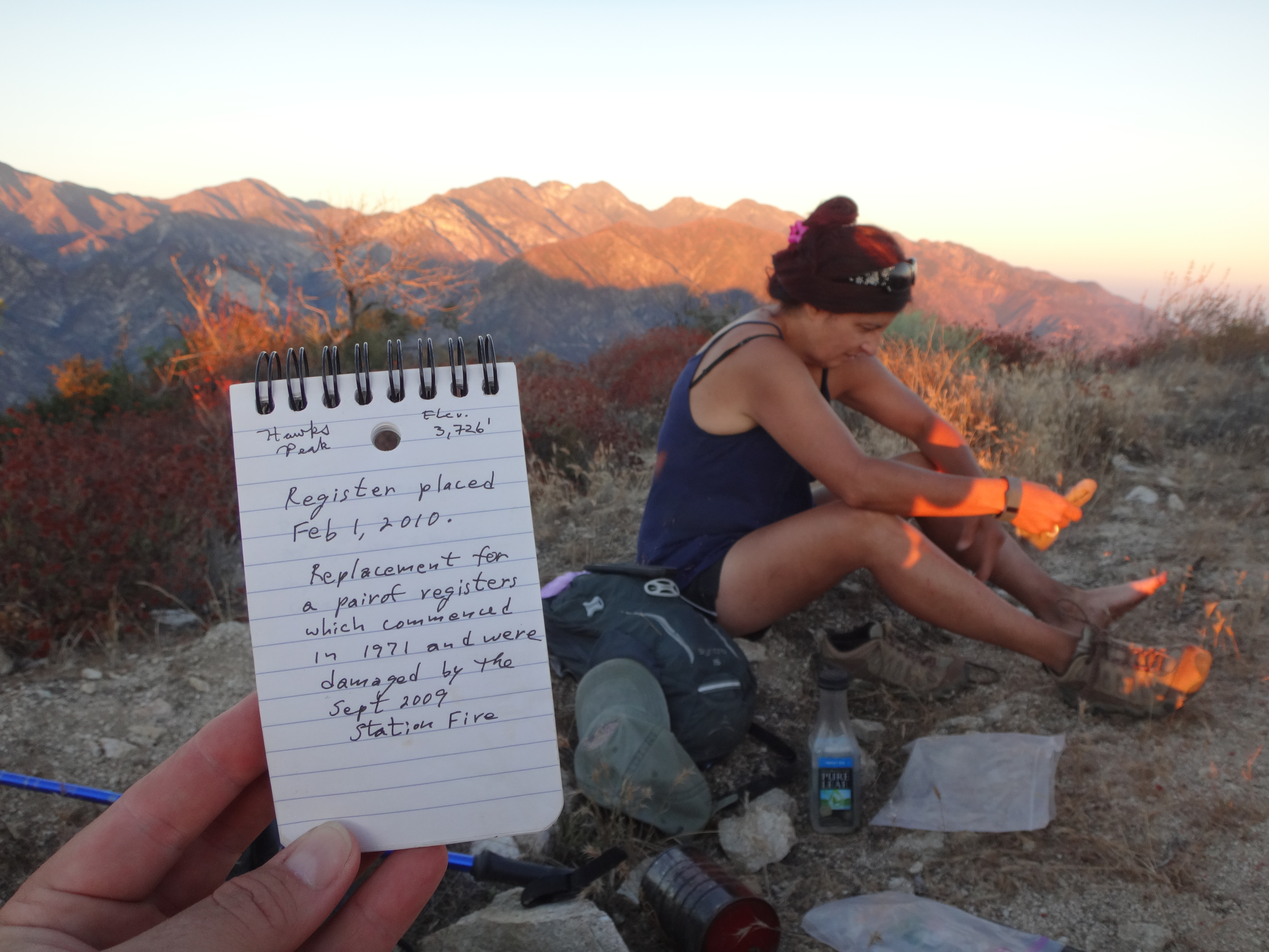
(Signing the register on Hawks Peak.)
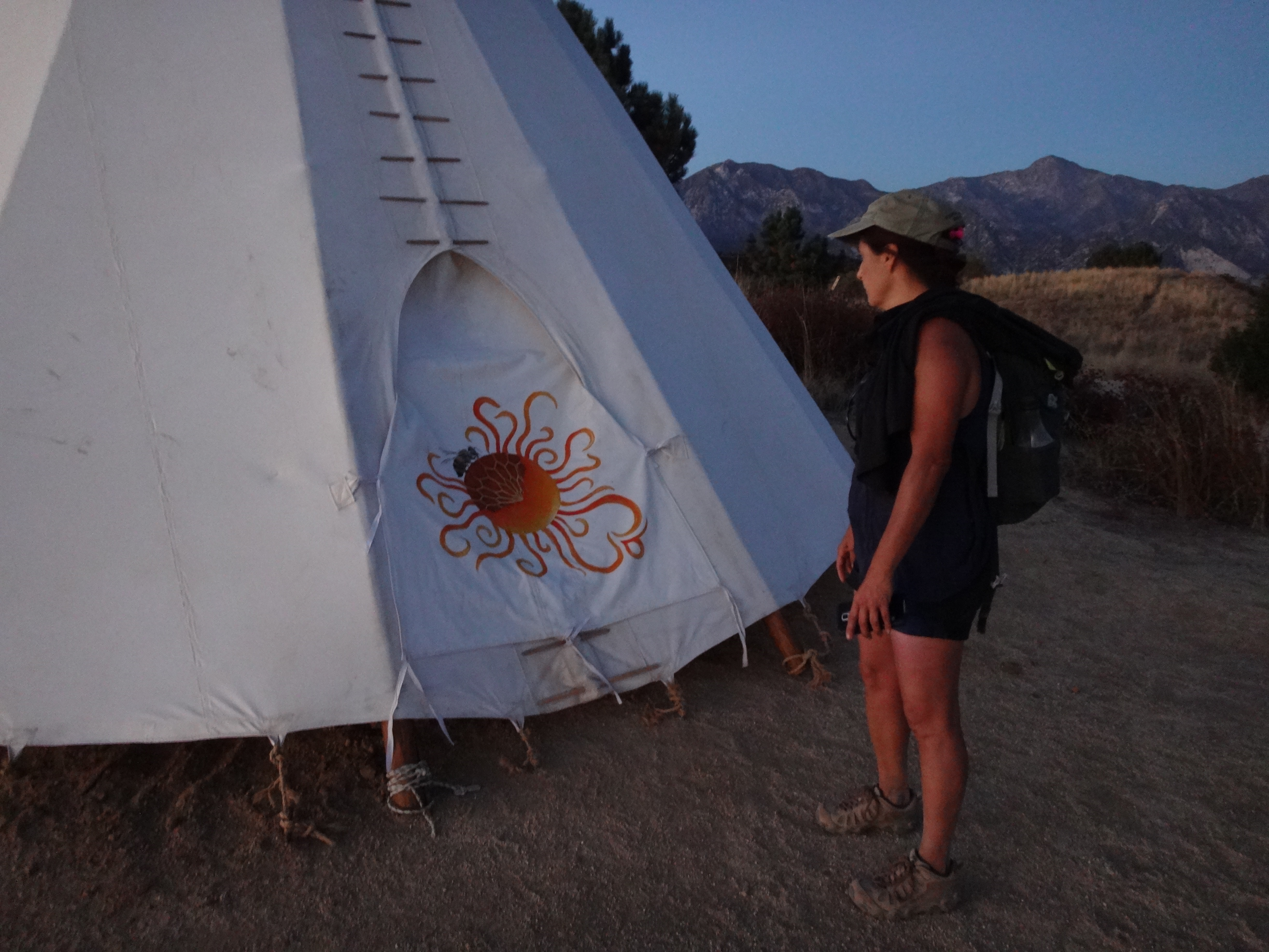
The sun gave up the day as we walked through Bee Flat to check out the Teepee. Then we returned to the car in the dark.