Little Lakes Valley

Archived TRs for Sierra Nevada ranges.
Post Reply
User avatar
RichardK
Posts: 727
Joined: Sun Sep 30, 2007 12:33 pm

Post by RichardK »

We just spent three days hiking in the Little Lakes Valley. This valley offers world class scenery compacted into hikes of four miles or less with easy grades on well maintained trails. Put this place on your bucket list. After living at sea level for 16 months, I knew we needed an acclimatizing plan. To arrive rested, we spent first night in a motel near the Ontario Airport. The second day we drove to Tom's Place at 7,000' where we stayed. The third day we played the tourists and checked out Mono Lake (6,372') and the Panum Crater (7,037'). Finally, on day four, we were ready to hike out of Mosquito Flat, the highest trailhead in the Sierra at 10,250'.

Mono Lake is worth a look in its own right.

Image


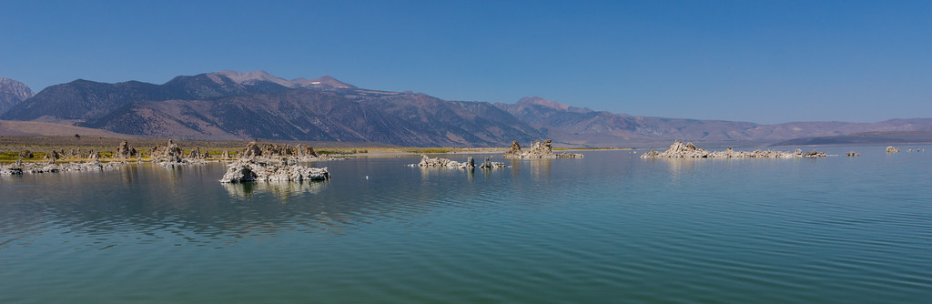
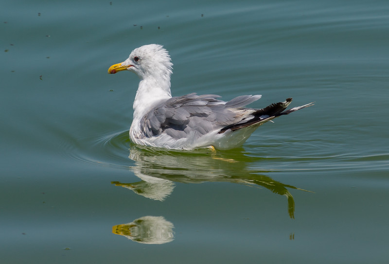
The gulls that feast on the insects barely sink into the mineral laden waters.

Image


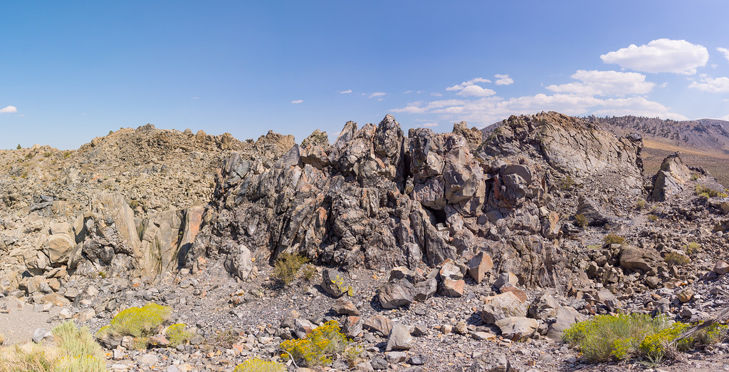
Several short trails offer views of the Panum Crater, a rhyolitic plug-dome volcano. One trail leads you up a long mound outside the main crater.

Image


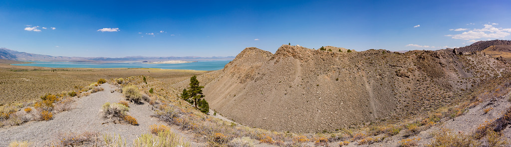
Another trail takes you into the central dome, a riot of rocks.

Image


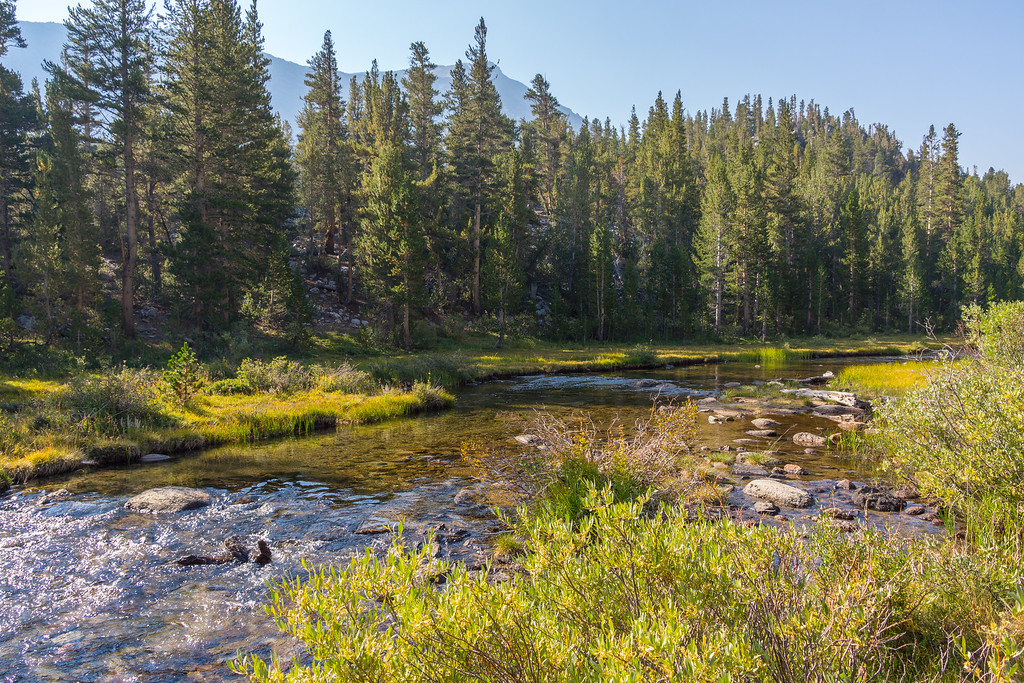
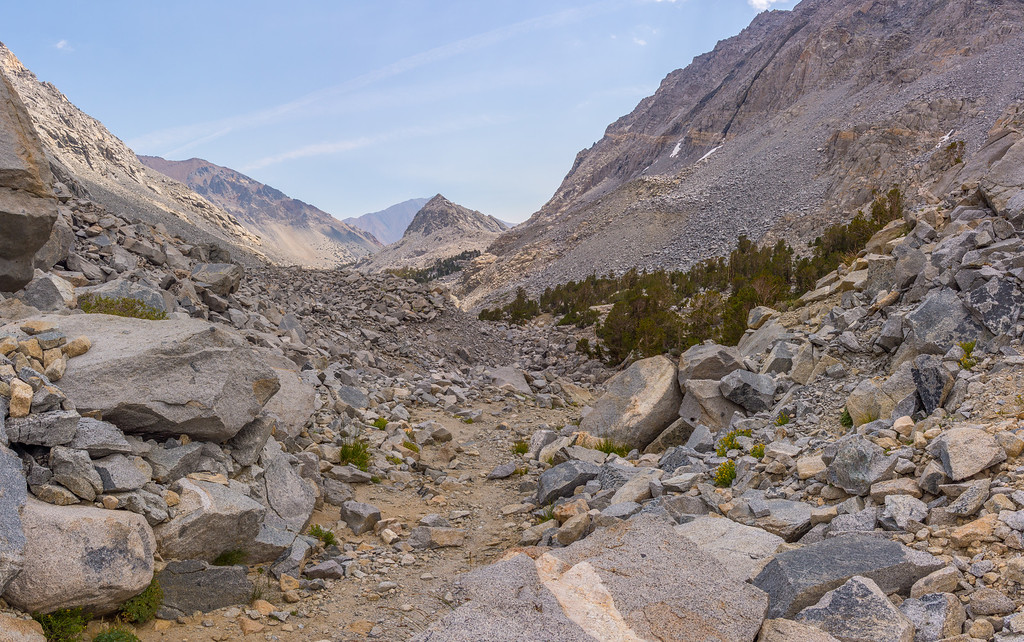
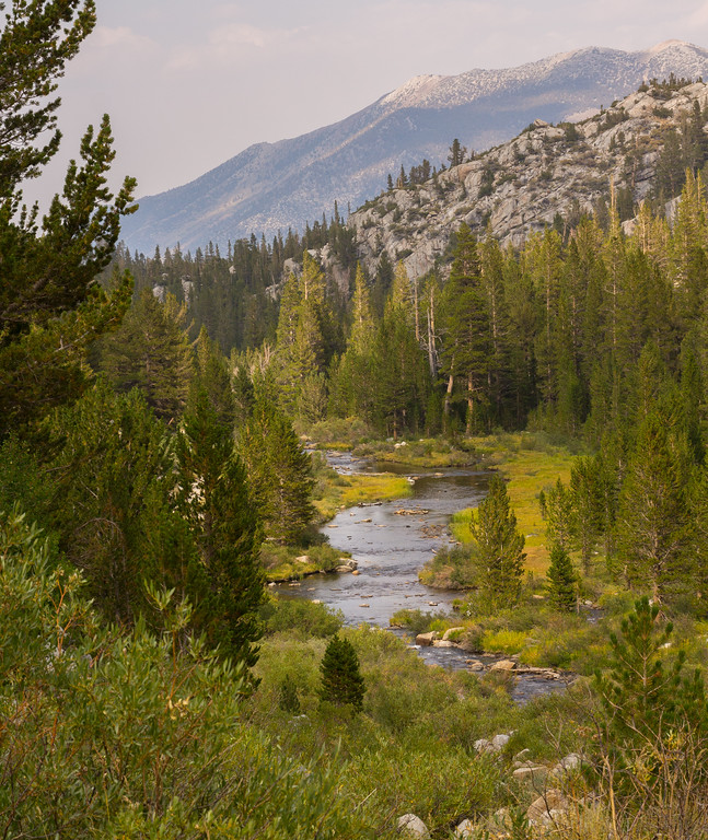
Our first objective in the Sierra was Morgan Pass. Rock Creek is your constant companion on this hike.

Image


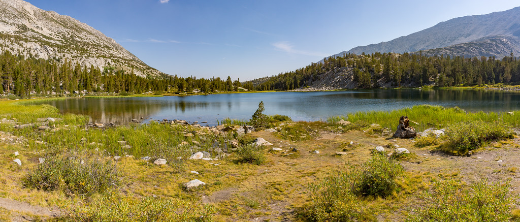
The first of many lakes is Mack Lake,

Image


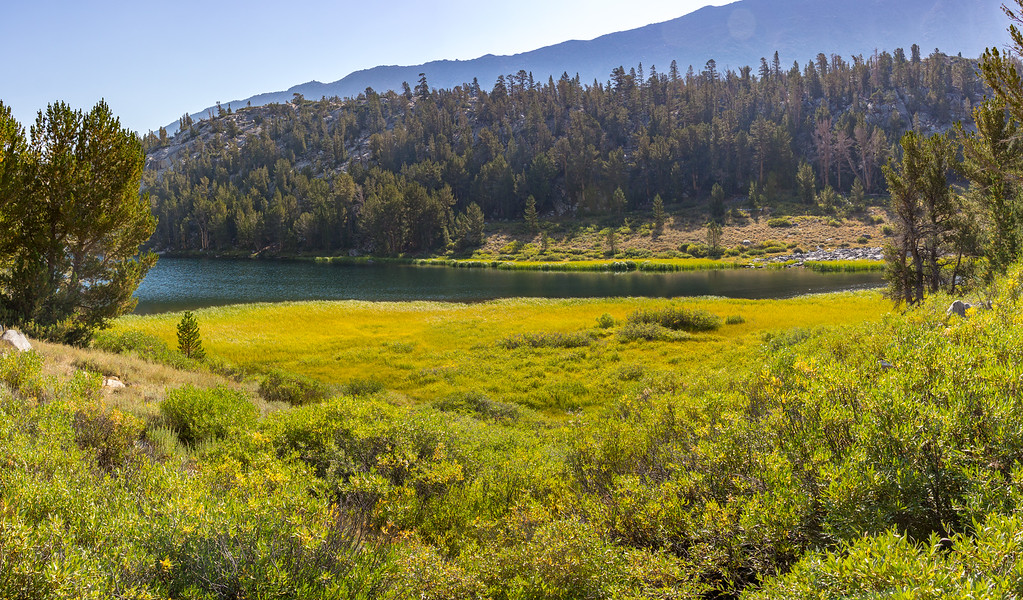
The trail continues to Marsh Lake.

Image


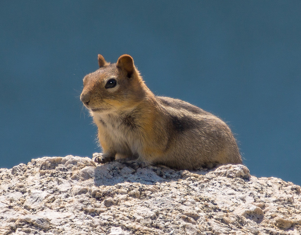
A chipmonk paused on a rock to have his picture made.

Image


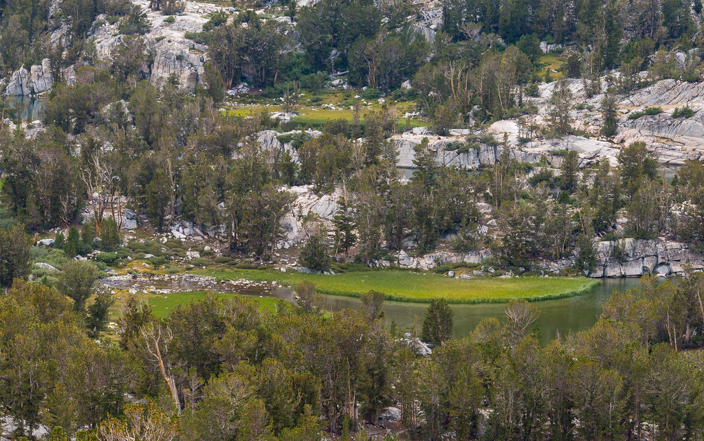
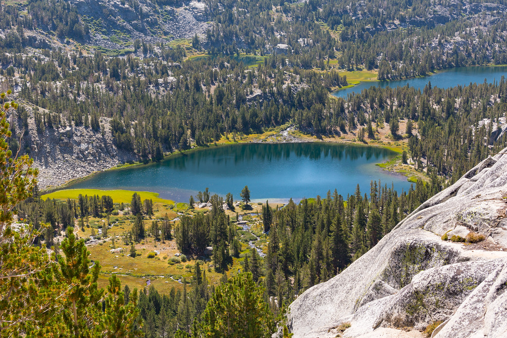
Heart Lake has to be seen from above to reveal its true shape.

Image


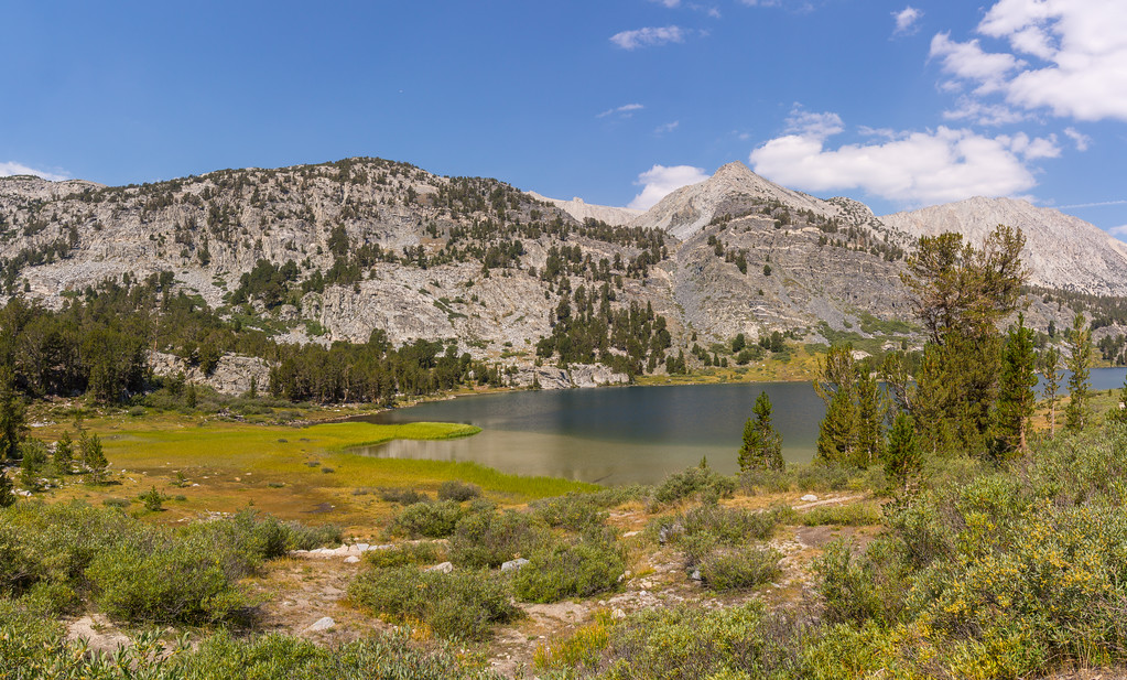
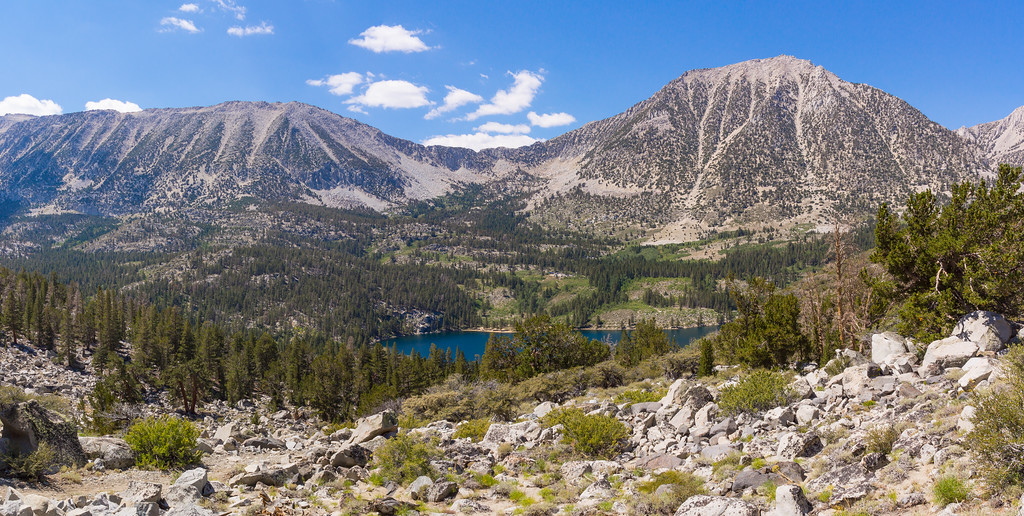
Box Lake is, well, long and boxy I suppose.

Image


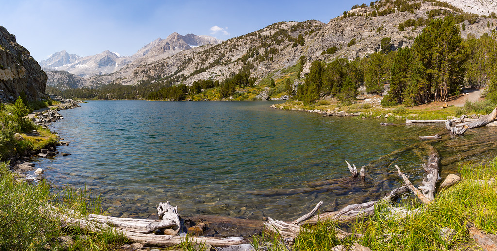
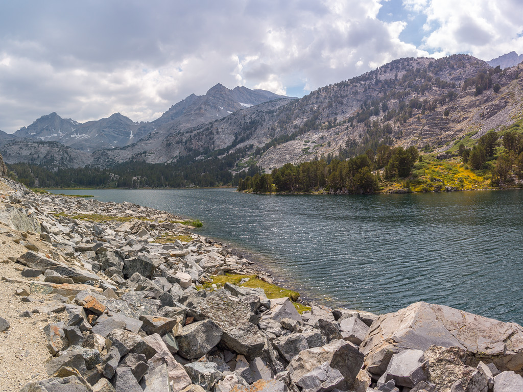
Here is the southern end of Long Lake.

Image


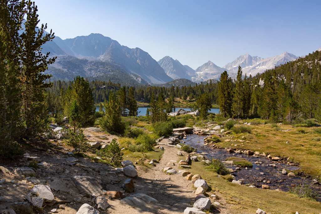
As you approach the Morgan Pass, spur trails can be hiked to see Chickenfoot Lake and the Gem Lakes. The Morgan Pass lies between two unnamed 12,000' foot peaks.

Image


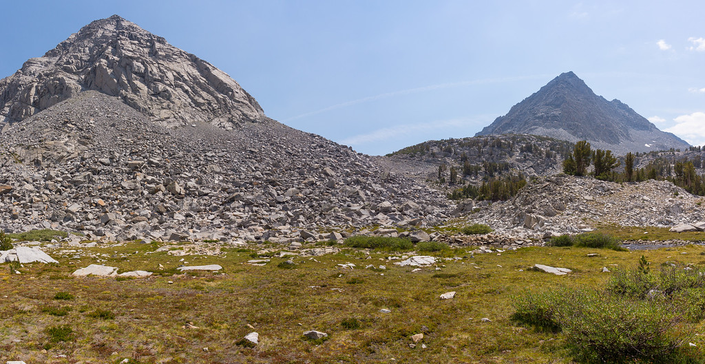
The switchbacks up to the pass offer a sweeping view of the valley. That is Chickenfoot Lake right of center.

Image


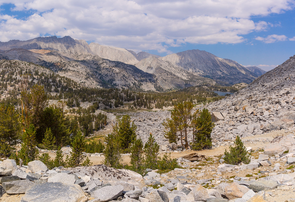
The Gem Lakes are visible below as well.

Image


The Morgan Pass. Some of these passes have a sign post, but not this one. I had hoped for a view down to the Upper and Lower Morgan Lakes, but the landscape did not permit it.

Image


Long Lake on the way back.

Image


As the day draws to a close, here is another look at Rock Creek.

Image


The next day we hiked to Kenneth Lake. The same trail has spurs to Francis and Dorothy Lakes. It eventually ends at the Tamarack Lakes. The trail has a nice view of Rock Creek Lake.

Image


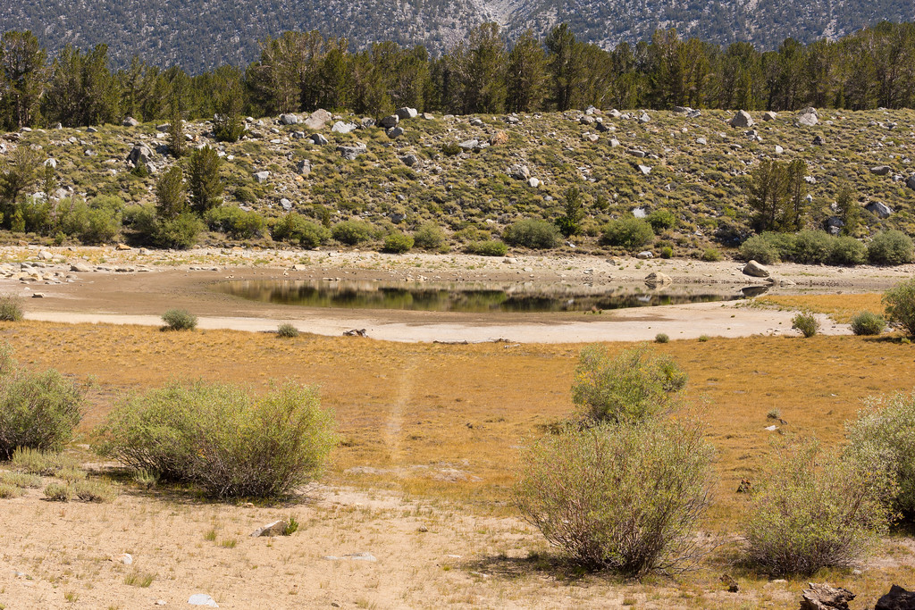
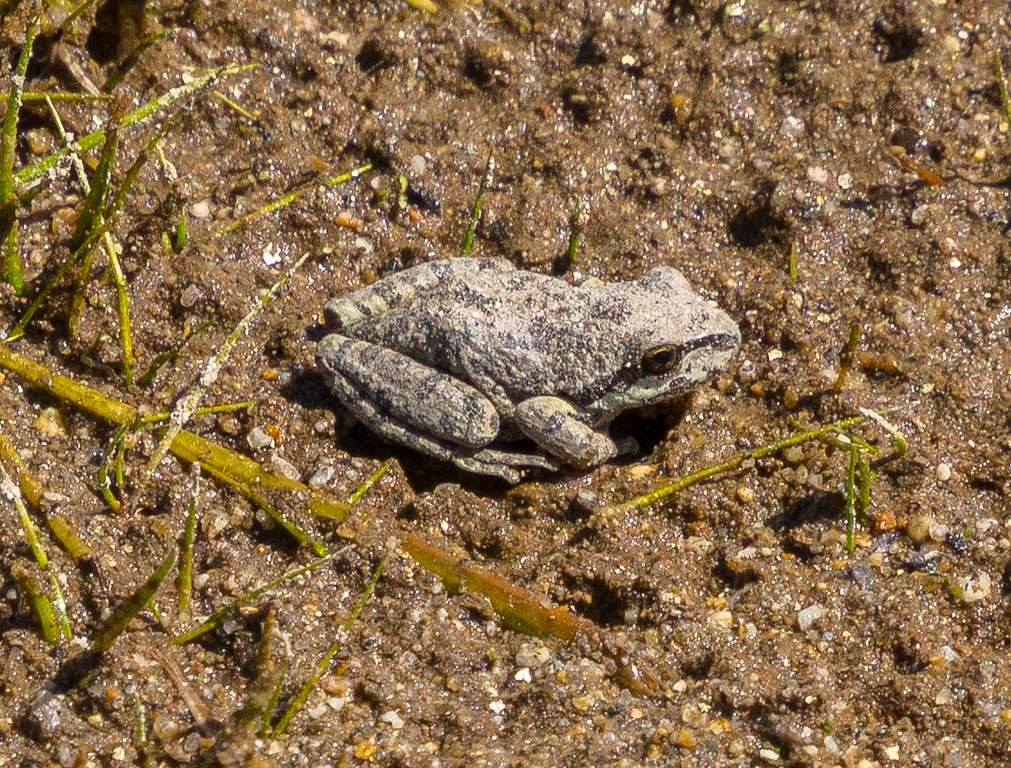
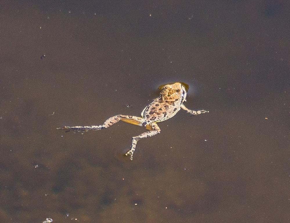
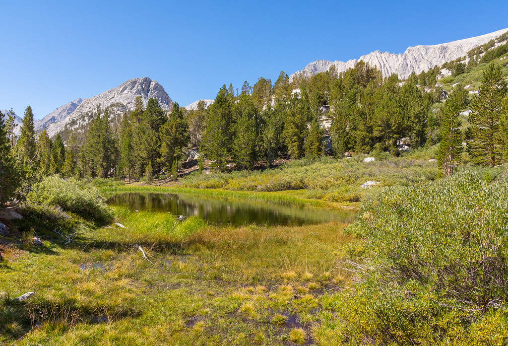
Kenneth Lake lacks an inlet creek. It depends solely on rainfall and snow melt for water. Apparently, there has not been much of that as Kenneth was more of a mud puddle than a lake.

Image


The mud attracted quarter sized frogs that searched for bugs.

Image

Image


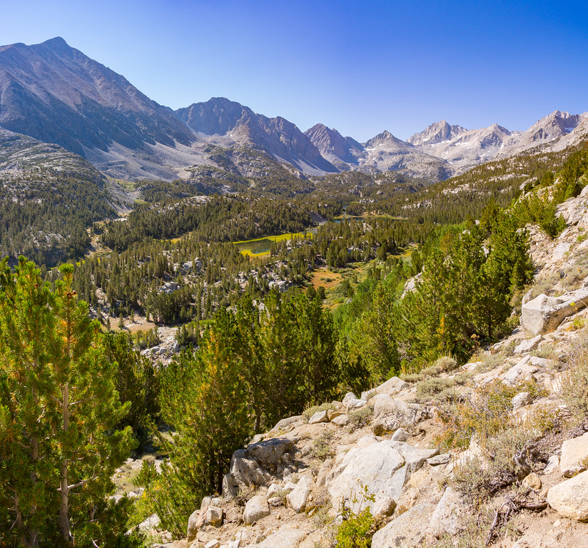
On the third day, we returned to Mosquito Flat to hike to Ruby Lake. This trail gains altitude quickly with great views into the valley.

Image

Image


Heart Lake actually looks like a heart from above.

Image


A small pond on the Ruby Lake trail.

Image


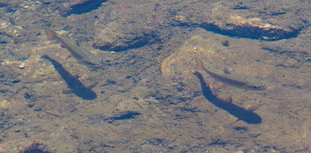
Another pond just before the lake was full of brook trout.

Image


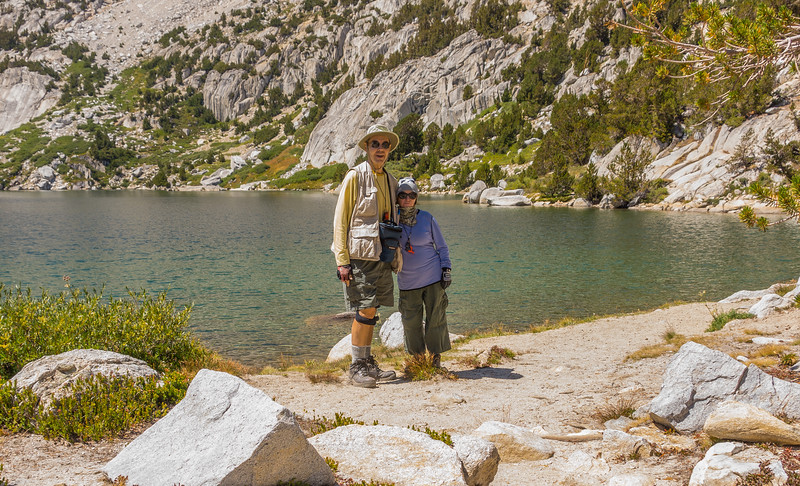
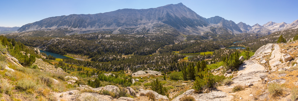
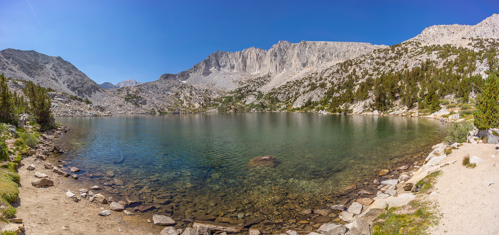
Ruby Lake. It's larger than it looks in this wide angle pano.

Image


Happy hikers at Ruby Lake.

Image
User avatar
HikeUp
Posts: 3853
Joined: Thu Sep 27, 2007 9:21 pm

Post by HikeUp »

Excellent!
User avatar
Uncle Rico
Posts: 1401
Joined: Thu Mar 20, 2008 7:48 pm

Post by Uncle Rico »

Nice photography Richard.

That area really is nice and justly popular. Finding a parking spot at Mosquito Flat can be a challenge. Never been up that trail to Ruby so appreciate those pics. Another place I need to visit. 8)
User avatar
RichardK
Posts: 727
Joined: Sun Sep 30, 2007 12:33 pm

Post by RichardK »

Thanks, guys!
Uncle Rico wrote: Finding a parking spot at Mosquito Flat can be a challenge.
We made a point of getting to Mosquito Flat by 8AM. There were always 6 to 8 parking spaces open. This was Friday and Sunday mornings. There is an overflow lot about a quarter mile below. It was half full. So, some people are getting there to find the main lot filled up. There is no roadside parking for the last mile as it is a one lane road. There is literally nowhere to pull off the road. The forest service has frequent "No Parking" signs along this stretch.
User avatar
Girl Hiker
Posts: 1327
Joined: Fri Apr 04, 2014 7:46 am

Post by Girl Hiker »

Hi Richard
I hiked Mosquito flats a few weeks ago. My favorite lake was Heart lake. Mono pass is pretty awesome as well.
Great pics!
User avatar
JeffH
Posts: 1166
Joined: Sun Nov 28, 2010 7:09 am

Post by JeffH »

I've always said Little Lakes Valley is the greatest easy hike in the Sierras.
You have to go down a little from Morgan Pass to see the two lakes, probably about a half mile to the upper and about the same to lower.


Image
Upper Morgan Lake


Image
Lower Morgan Lake, I didn't walk all the way to the shore.
"Argue for your limitations and sure enough they're yours".
Donald Shimoda
Post Reply