A little bit of backstory on how this hike came to be to start out with:
I had originally planned on doing a solo out and back on the HST the last weekend of July. That all sounded fine and dandy till I told my wife of my plans. Even though I have a SPOT device, she was super uncomfortable with me hiking solo outside of the local mountains. Hrmm. I attempt to find someone to go with me.. No dice on short notice, so I reschedule my campsite reservation at Lodgepole in Sequoia for 3 weeks later and I recruit my wife's cousin to go with me. All fine and dandy. Wife is happy, wife's cousin is happy, I'm happy.. Fast forward a week before the trip and I touch base with my wife's cousin to sort out the details. Turns out, according to the doc at urgent care, he gave himself a hernia at church camp the week before throwing his son up in the air and catching him.. Dam.. Again a last minute scramble to find a hiking partner yields no results. At this point I admit defeat and cancel my campsite reservation. There's always next year, the HST will still be there..
So that puts us in our timeline to the weekend before this one, where we'll pick up our story..
Ruminating about what to do now since I have an open weekend I decide to tick one of the Socal classics off my list: San Gorgonio Mountian. San Gorgonio or Old Greyback as it's often called is the highest peak in Southern California at 11'503. It's technically an easy hike, just standard hiking trails all the way to the summit. Although an "easy" hike, the shortest approach is around 9 miles one way with 5,500' of elevation gain via the Vivian Creek Trail. There are two complications to hiking this peak: The first complication is due to the close proximity to the LA metro area and the popularity of the trails that a wilderness permit is required for any entry into the San Gorgonio Wilderness. The second complication is that due to the Lake Fire in 2015 a good portion of the trailheads to the peak are closed. Currently there are two trailheads to access the peak from - Vivian Creek and Momyer/Alger Creek. These two factors combined make getting a permit for a day hike something you need to plan out at least a week in advance or roll the dice on showing up early for one of the limited walkups. Vivian Creek DH permits for the weekend are currently reserved out a month and a half in advance. So that left me with the choice of entering via Momyer which is 13.5 miles one way or seeing if I could score a walkup on Saturday morning for Vivian when the ranger station opens at 7:00. That would put me starting after 8:00 by the time I dealt with getting the permit, making the drive from the ranger station to the trailhead, and getting underway. An 8:00 am start for a 18 mile out and back sounded way too late so I decided to go for a permit from the Momyer trailhead.
I filled out the permit application and faxed it in Monday afternoon from the office. Oh yes, the bastion of outdated technology, the wonderful fax still plays a part in getting a permit in several federally manged recreation areas. The permit office is closed on Tuesday and Wednesday so I figure I'll get my approved permit faxed back to me on Thursday morning. Well, I finally make my way in and check the incoming fax bin Thursday afternoon and I did get something faxed back, a permit application stamped with a "REQUEST DENIED" stamp and a checked off form letter stating why my permit request was denied: Permit submitted without a signature. Well crap.. it's now Thursday that puts me inside the 5 day cutoff before my hike in which the permit needs to be submitted. Since I'm going for the less popular trailhead which never seems to get fully reserved out I decide to try my luck and write an "I'm sorry I messed up, I fixed my mistake and have resubmitted my permit, even though I know its inside the 5 day window can you approve it pretty please" cover letter, sign my original permit that I forgot to sign and fax it back to them. At this point worst case is they deny it and I go hike Mt. Baldy again Saturday morning, best case they approve it and I get to make the hike to San Gorgonio. Friday morning I make it into the office and while talking with a coworker who also does a lot of hiking about my permit SNAFU, I check the incoming fax bin. Success!!! My "oops, pretty please" letter seemed to have worked and my permit was approved and faxed back to me at 7:30 Friday morning. Permit secured I'm good to go for my day hike out of the Momyer trailhead to the top of San Gorgonio.
Onto that planning bit I was talking about in the beginning. I'm looking over my proposed route and it should be between 12.5 and 13.5 miles one way, depending on your source. I've been keeping a pretty good pace of most of my recent weekend hikes, which had been in the 8-10 mile range, I had been averaging around 3 mph on the uphill parts and 4 mph on the downhill bits. So looking at the route for this hike and keeping the aforementioned pace in mind I figure it should take me around four and a half hours up and a bit over three on the way back down. Fine and dandy! I'll get to the trailhead by 5:00 and get an early start, be to the summit by 10:00, and back to my truck at the trailhead by around 13:00. I figure I should be home by around 3 at the latest. Sounds like a great plan!!!
Friday night comes and I get all my stuff together. Hydration bladder filled, check. Extra socks, check. Trail food, check. Etc, etc, etc going down the list until I had everything present and accounted for, in my pack, or on the table to put on my person the next morning. I head to bed relatively early for me, around 23:00, and set my alarm to go off at 3:00. I figure a half hour to wake up and get my ducks in a row and get on the road by 3:30. Alarm goes off and all goes to plan, I head out a few minutes after 3:30 to make the ninety minute drive from my place in Pasadena to the trailhead in Forest Falls east of Redlands. I'm driving along and decide a cup of coffee would be in order. It's about 4:15 and there is a Starbucks that opens at 4:30 right off the freeway in Rancho Coucamonga a few exits ahead of where I'm at so I make the executive grab coffee. One of the benefits of going solo, making small changes on the fly.. I get there ten minutes before they open so I faff about a bit on my phone before heading up to the door. I try to go in, no dice, door still locked. So I wait five more minutes and the open up. I get my coffee and head back to the car. At this point I'm thinking this will be the last real facilities I'll see for a bit so I decide to go back into Starbucks and use theirs. Coffee procured and facilities utilized I head get back on track to the trailhead. This pit stop has cost me some time, Waze now puts my ETA at the trailhead at 5:35. Waze with it's infinite calculations and other assorted witchcraft were right on the money as I pulled into the parking lot at the predicted time. By the time I get my shoes and gaiters sorted, my pack given a once over and anything extraneous removed, devices turned on, and on the trail it's 6:00. The hike has only just started and I'm already an hour behind my mental schedule...
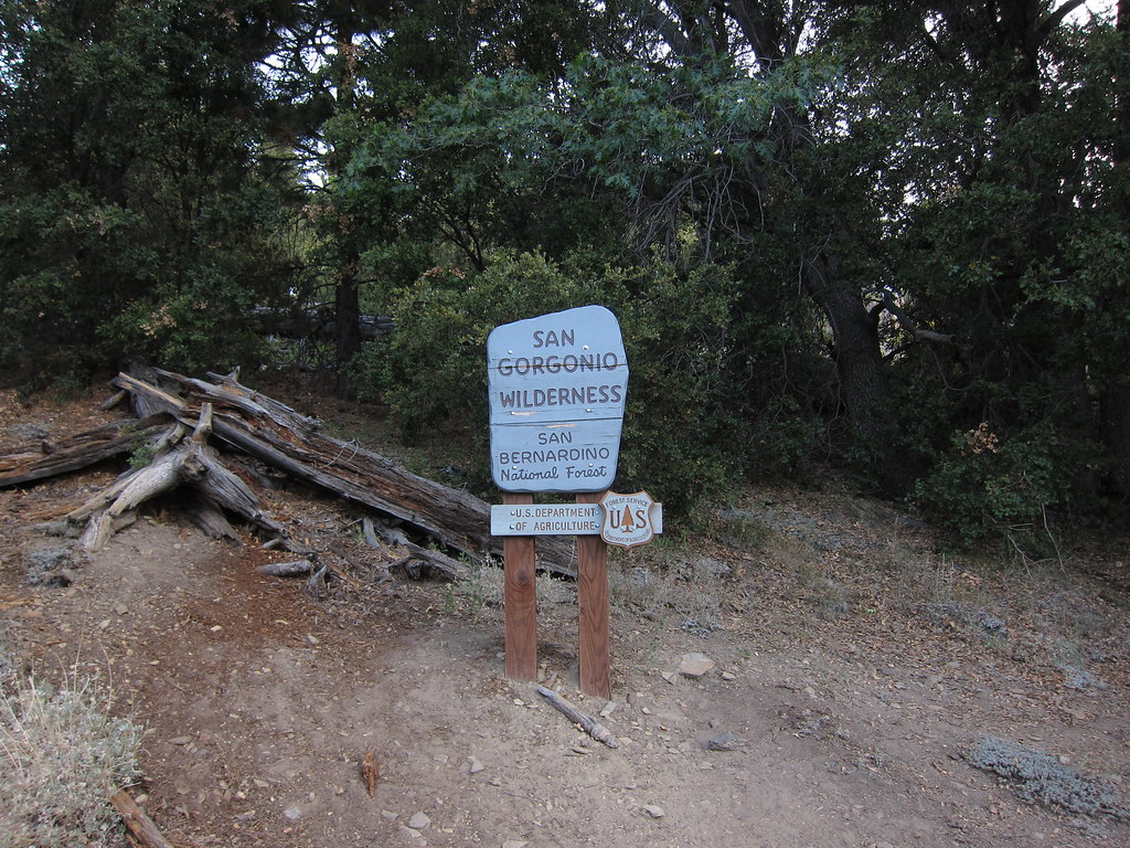
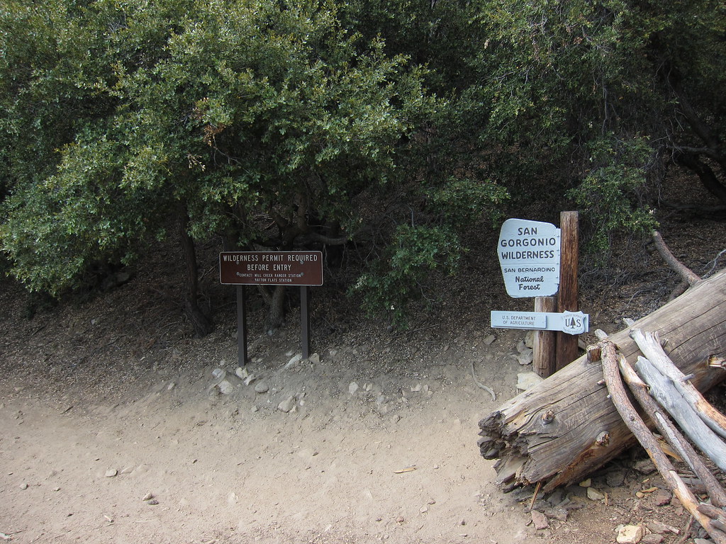
Now it's 6:00 and I'm on the trail. Begins easy enough by crossing Mill Creek and the large wash that it meanders through then heads towards the hills through live oak and the usual lower elevation vegetation seen in the front country. Not far after you've began the trail there is a forestry sign informing you that three miles beyond that point wilderness permits are required. With the requisite permit in hand this is of no concern to me, but to less informed day hikers I could see it being useful. I head up the well groomed trail, climbing slowly and gaining elevation. Soon enough that aforementioned thee mile mark is attained as the live oaks start to thin out and pine and fir trees take their place in the landscape and I come to the sign that denotes the border San Gorgonio Wilderness.
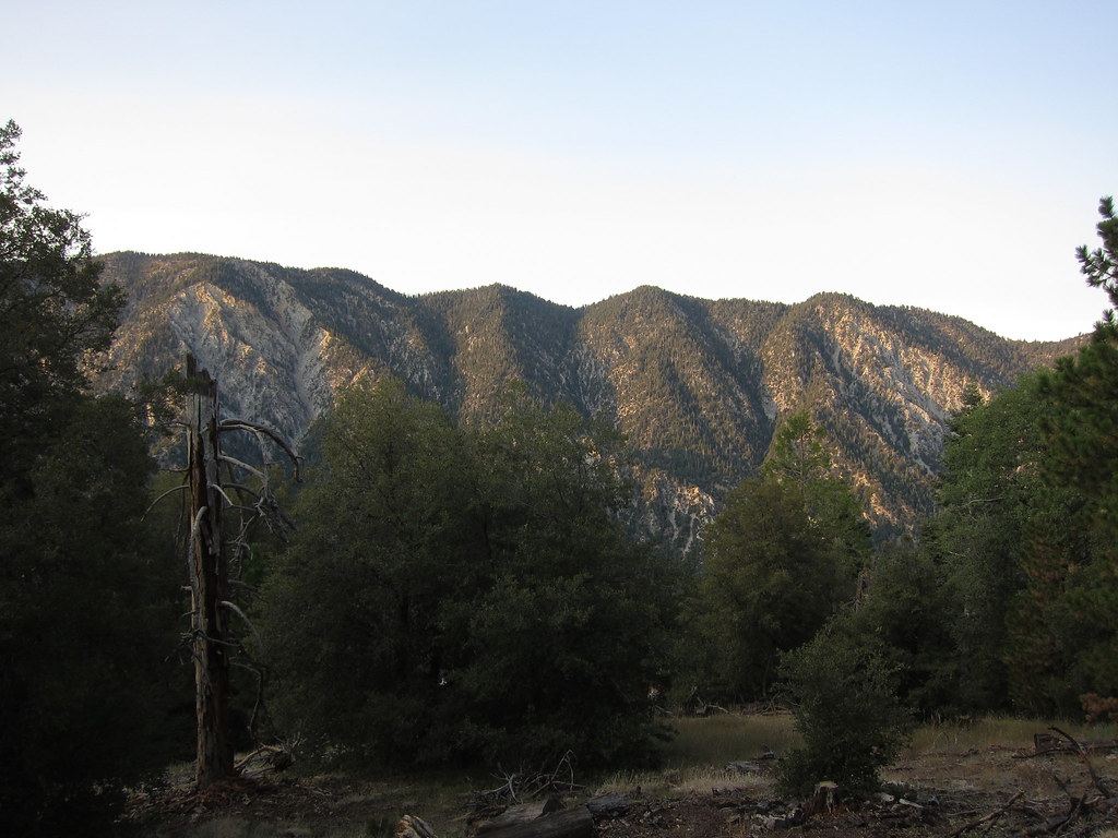
Turning around opposite of the sign you are greeted to a clear view with the warm morning light beginning to wash over Yucaipa Ridge
So an hour in and we're into the wilderness in earnest. I'm feeling good and I seem to be keeping to my mentally predicted three miles per hour pace. Onward and upwards. Shortly after the wilderness border your come to a spur trail that leads up to San Bernardino Peak. I had originally thought about hiking this trail but decided against it. All recent reports stated that the trail gets pretty faint and it ends up being a steep bushwack through manzanita, buckthorn, and downed trees about a half mile beyond the trail junction most of the way to the peak. Not today, onwards and upwards.. The trail flattens out for a bit then it starts to go downhill. Precious elevation gained was now being lost, only to have to regain it again later. As the trail descends things get more lush, with cedar trees and ferns popping up until you finally reach the low point where the trail crosses Alger Creek.
Now it's time to make up that elevation just lost. Fortunately the climb up on the other side of Alger Creek is more mellow than the decent so It's a nice easy hike up. About a mile and a half later after gaining about six hundred feet of elevation you come to a trail junction which leads down to Falls Creek and the site of Dobbs Camp. It's about three quarters of a mile down to the campsite and I was on a mission so no time to explore today. Up the hill towards Saxton Camp and Plummer Meadows.
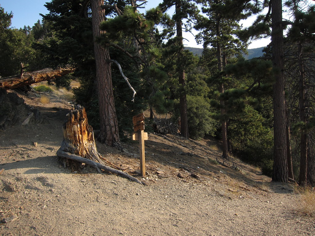
The trail becomes more exposed for the next mile and a half, with less shade as it climbs up the side of the ridge, crossing a stream that feeds Falls Creek and then closing in and becoming more lush and forested as the you come up to the site of Saxton Camp.
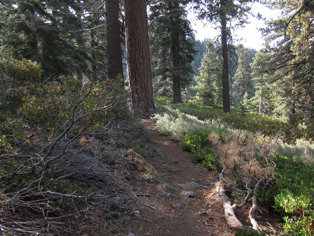
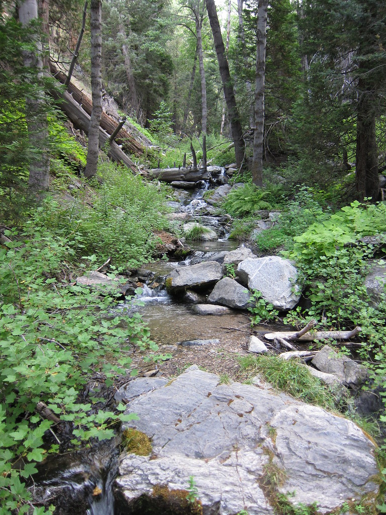
Just up the trail a bit from Saxton Camp is Plummer Meadows. You can see part of the meadow from the trail, but to see the whole thing you have to head down a spur trail. Onward and upward we continue... There is one more stream crossing a bit past the spur for Plummer Meadow and this is the last water I saw on the trail until you get to High Creek on the Vivian Creek trail. This stream cuts its way down from the steep hill, carving the rocks and creating little waterfalls here and there while providing a source of water for wildflowers in the area.

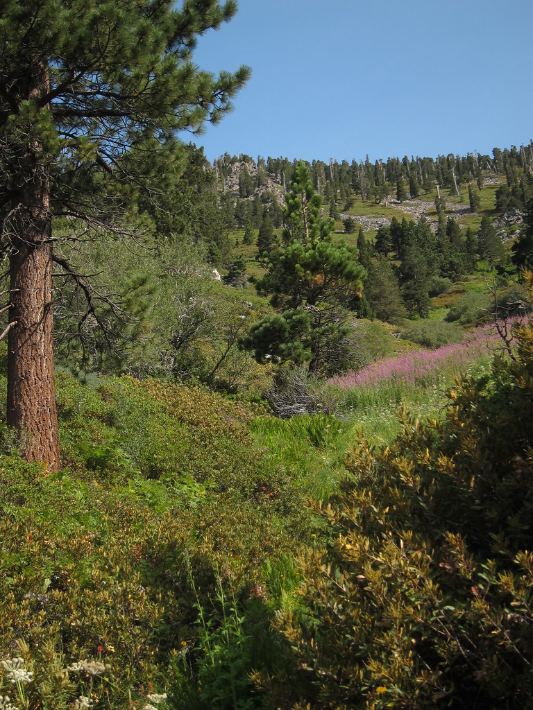
At this point the tall trees thin out a bit and you have more manzanita and other low lying plants that survive the snow that loads these steeper slopes come winter. The trail continues to ascend the via a series of long switchbacks until you top out at 10,000' and Dollar Lake Saddle. Due to the Lake Fire in 2015 forestry has closed the other trails that lead from this saddle. The San Bernardino Peak Divide trail heads north then west, back towards San Bernardino Peak while mostly following the ridgeline, allowing one to tag all the high points along that ridgeline if you so desired. The other trail that leads from this saddle and is closed is the Dollar Lake trail, which will lead you north towards the Poopout Hill and the Wilderness Border. I had been hiking pretty steadily since I began at 6 am, only stopping here and there to take a picture or two. I had covered 9.5 miles and it was now 10:15. It was a good spot to stop and take a breather for a few minutes so I did just that. I munched on some snacks and changed the batteries on my GPS. I like to keep a track of my hikes so I can nerd out on all the details after the fact. I used to use my phone with backcountry navigator to do it, but found that battery consumption was way too high and would end up killing my phone before the end of a long day. Fine for short hikes, but for long one day trips or multi day efforts that wasnt going to cut it any longer. I picked up an older Garmin etrex 20 for pretty cheap and it does a great job for the intended purpose, plus with GPS and Glonass it's more accurate than my phone.

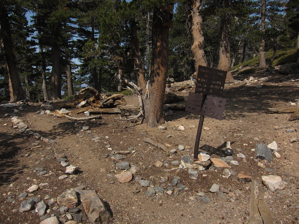
From here the trail continues to climb. The trees becoming shorter, stunted and shaped by the persistent winds on these, the highest slopes in Southern California. The trail contours south then east around the flanks of Charlton and Little Charlton Peaks. At this point beginning at the saddle between Little Charlton Peak and Jepson Peak the treeline skips in and out, especially on the steeper north facing aspects of most of the mountains. At the saddle I start to see the small tightly clumped ground flowers that are more prevalent in the Sierra above the treeline that cling to life in this precarious environment.

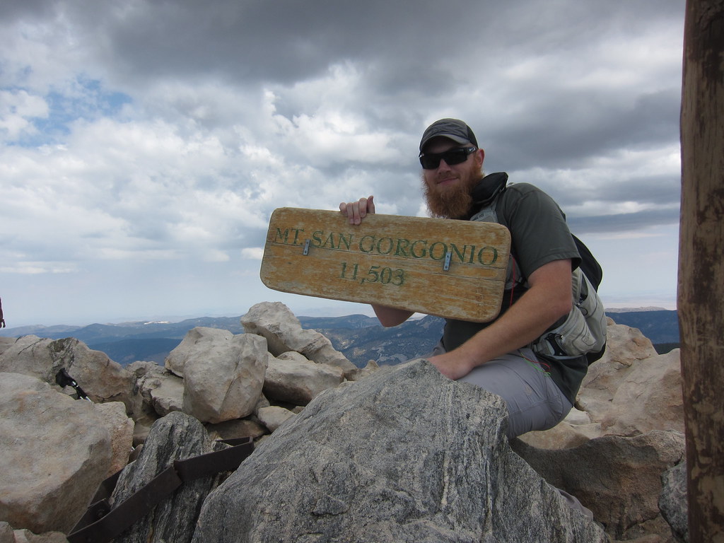
From this saddle its just a little over two miles to the summit. The trail traces its way around long, less steep southern face of Jepson Peak on its way to another saddle between a small rise between Jepson and San Gorgonio. At this point three guys come around a corner, it was the first time I had seen another person since passing a woman about a mile from the trailhead so it was a bit jarring. My hard earned sense of solitude was now gone. After you come around this small rise you come to the point where the Vivian Creek trail merges and continues on to the peak. From here the flocks of people from the "easy" route join you as its up and over one final hump before you make the last short push to the top. The weather at the top was nice - a little chilly and a little breezy, but not the gale force winds I've heard of people experiencing at the top. I hiked up in short sleeves and didn't feel the need to grab another layer out of my pack. I got my little tripod and took a quick pic with the summit sign, then proceeded to let everyone else who came up after me take their own photo. Looking due south east you can see another of Socal's big peaks, San Jacinto Peak some twenty miles across the valley between them. Being the highest peak in Socal on a clear day you have a commanding view. The fact that it has such high geographic prominence in relation to everything around it means that it's visible from Whitney under the right conditions. It was a bit hazy but I could clearly make out Catalina in the distance, Santiago Peak, Mount Baldy, San Gabriel Peak and all of the other prominent high points in the surrounding area.
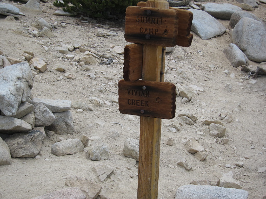
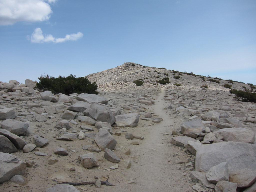
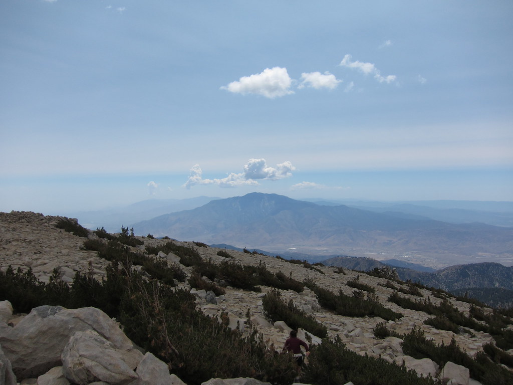
Well, now that I'd hit the top it was time to head back to the trailhead. Instead of my forecasted four and a half hours to make it to the peak it ended up taking six and a half. Rats.. that coupled with starting an hour later had put me behind schedule. At this point I had a choice to make. I could head back up the way I came as I had originally intended or I could head down the Vivian Creek trail. Well, Vivian Creek is known for being wickedly steep at the beginning, but I was going down so that wasnt a real issue. There is a mile and a half gap between the trailheads where you have to hike along the street to transit between the two. Meh, not ideal but not the end of the world, at least it would be all downhill. The final clincher was that Vivian Creek was all downhill and would end up being three miles shorter. Vivian creek it is. Since I was on the highest peak near one of the most populated areas in the country, I figured I had a fair chance of getting a cell signal. I pulled out my phone and switched it off airplane mode. Signal was there, although not super strong it was enough to allow me to ring my wife and let her know that my hike was taking longer than I had initially planned. She had expected as much and had figured I'd be home later than I said I would be. I told her I was going to take another shorter route down and that I would call her when I got back to my truck. That being sorted it was time to get under way. As I started downhill I felt really good so I hiked fast and jogged a bit in the flat open bits and started making up time. As I make my way down I start passing people whom I had seen on my way up to the peak or who had departed while I was on the top. I came to a ridgeline which affords you one of your last views of San Gorgonio as it will obscured by the surrounding hills as you descend to High Creek.
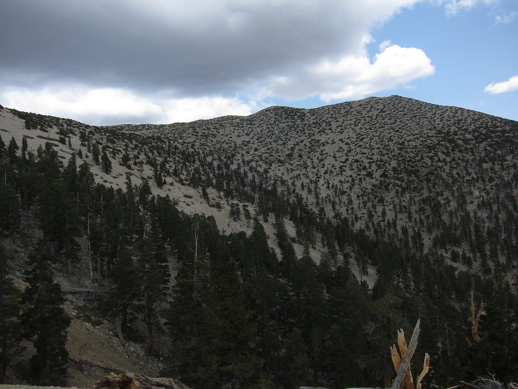
From here I charged on, making decent time and still feeling good, continuing the theme of passing people I had seen near the summit as I descended. I pushed on down the remainder of the Vivian Creek trail without stopping, only slowing at the southern border of the wilderness area to grab two half liter bottles of water with NUUN out of the main pouch of my pack. I had tapped my two and a half liter hydration bladder dry about a half mile before and it was a good spot to pause before made the final steep decent down the beginning of the Vivian Creek trail.
From here the Vivian Creek trail makes it's final steep decent to Mill Creek, losing almost nine hundred feet of elevation in less than three quarters of a mile. You cross the Mill Creek wash, and then go down a two track service road past some forestry lease cabins and finally you emerge at the Falls Picnic area. From here I made a b-line through the picnic area, past the families out having a Sunday family outing, and into the neighborhood of Forest Falls. It was a rather straightforward mile and a half huck back to the Momyer trailhead on the shoulder of Valley of the Falls road. Fortunately it was all downhill
All in all it was a good hike. There are some nice little forested campsites in the valleys that will be good candidates to take the scouts in my son's troop to as an overnight sometime in the future. Initially I had expected to finish the hike in around 7.5 hours. It ended up taking 10 hours and some change total. My pace for the 13.5 miles up to the summit was around 2 mph and my pace down was in the 3 mph range for the 10.5 miles from the summit back to my truck. Why was my pace off? Who knows... In the grand scheme of things, it is what is.. I had a great time in the wilderness. Great way to spend the day.
