It was a pretty nice dirt road. A quarter-mile up, at the t-intersection, I turned right and ascended to Penstock Ridge.

A drive-up highpoint, the newly placed register was literally right beside the road in a rock pile.
I parked and wandered around a bit. Found a view of the mouth of Lytle Creek wash.
Moving on, I drove back to the t-intersection and continued up 2N79 to the junction with 3N31.
My first stop along this road was at a minor saddle before the 3732 BM. This benchmark appears on topo maps with only the elevation. I was curious to see if it still existed and had an actual stamped name. After a brief quarter-mile trip up the ridge, I located the mark. A standard disc attached to a metal pipe encased in an octagonal concrete slab, it had come out of the ground and was turned upside down. I flipped the slab on its side in order to read the stamp which said "KEEN 1949."
Also nearby was found a plain reference mark from 1975.
The road then took me above the sewage plant,
behind Mountain Lakes Resort,
and back down to Lytle Creek Road, which I took for only a short stretch before turning onto Sheep Canyon Road (2N56).
Sheep Canyon was another fine dirt road. At a low saddle it met the continuation (upper segment) of 3N31. I parked here and prepped for a longer walk up to Lower Lytle Creek Ridge (4386'). To get to this point I headed steeply up an old firebreak at first, and then followed an undulating ridgetop over three bumps. It was about a mile one-way with 600' of gain.
(LLCR Highpoint on right)
There was nothing at the highpoint, except a view of Lytle Creek.
Beyond the highpoint, maps showed another unnamed benchmark (4306'). I wandered all around the area but couldn't find any sign of it.
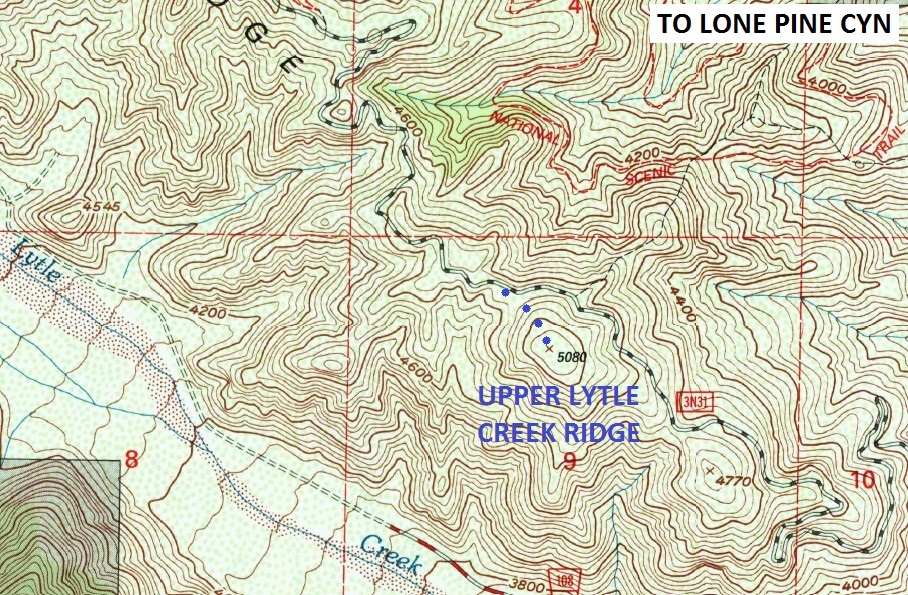
Next on the agenda was Upper Lytle Creek Ridge (5080').

I hopped back in the air-conditioned car, happy to be out of the 94-degree heat, and raced up the ridge road (3N31). At a saddle on the NW side of the peak, I once again exited the vehicle and pushed through light brush for a quarter-mile up the ridge.
Again nothing on the summit but a pile of rocks.
Further up, my final goal was Mt. Jo, something discovered on Peakbagger.com. It was basically a drive-up peak with an easy, brief walk to the top. The topo map marks it as 6429'. However, Peakbagger puts it at 6427', and a sign on the summit said 6476'.
Feel free to make up your own height when you visit it.
