

The shuttle is by far the most troublesome aspect of the planning. We were lucky because our friend Darryl made sure we were not going to worry about that by hooking us up with a shuttle from Azusa to Vincent Gap! Thanks Darryl!
Darryl checking out potential camp spots by Missy
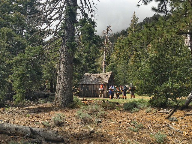
We arrived late night at Vincent Gap and once we opened the doors of the van, the icy winds shocked our bodies. We hurriedly threw some layers on, strapped on our packs, and did a group huddle/high five. It was Friday Night, we planned to spend the night at Vincent's Cabin because a few more friends were going to join us Saturday morning...
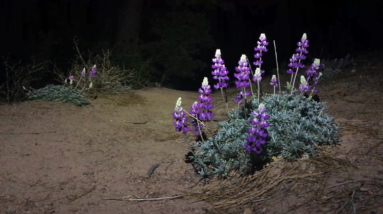
Midnight wildflowers by Missy
Already we messed up because we lost a friend. Oops. The turn-out to Vincent's Cabin is a not so conspicuous one. It was a silly miscommunication and we really beat ourselves up over it. After looking for him, we all decided that our friend had everything with him to stay safe overnight and we would resume searching by day light tomorrow.
Vincent's Cabin meadows by Missy
Our worry was over by the morning once our friend casually walked in to Vincent's Cabin meadows. We packed up and waited for the others to arrive.
I should mention that this same Saturday, a big group also came in to clean up trash at Mine Gulch, hosted by Alan (Pharraoh of YouTube)they came by to say hello and were on their way down. Thanks for cleaning up guys!!
Heading down Vincent Gulch, Mine Gulch Trail by Missy
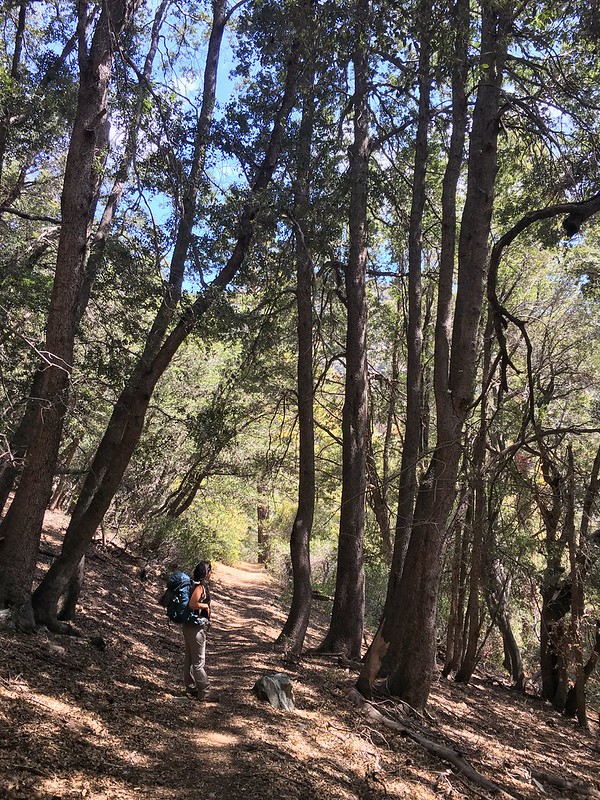
Through the Oaks by Missy
Filmy Peaks by Missy
A look into Mine Gulch by Missy
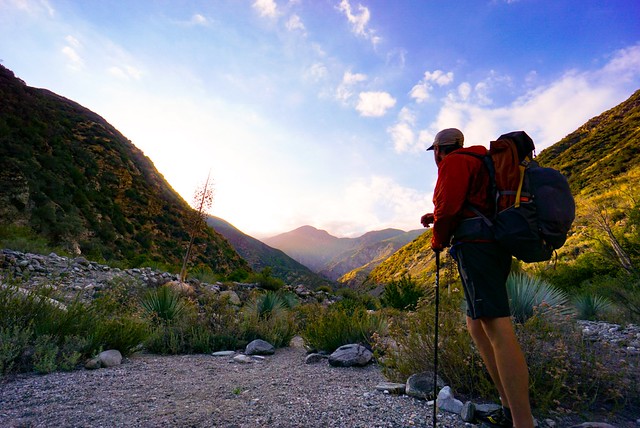
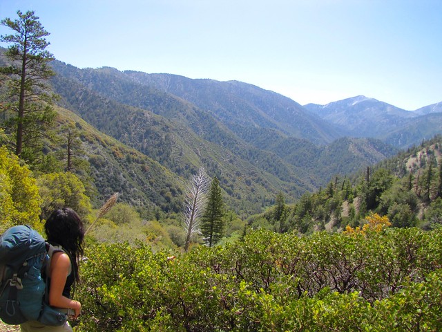
Jeremy looking towards East Fork. Photo by Darryl Vigil by Missy
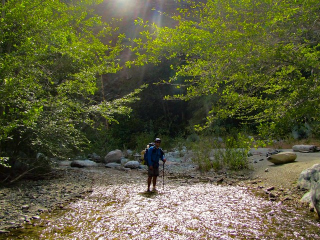
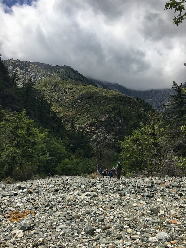
From there it was about 9 miles give or take to Fish Fork trail camp. Some trail, some bush-whacking, and some creek fording. Water levels never presented a danger and you only dipped your feet in for expediency's sake
About every single one of us took a fall due to some malicious unstable rock put there.
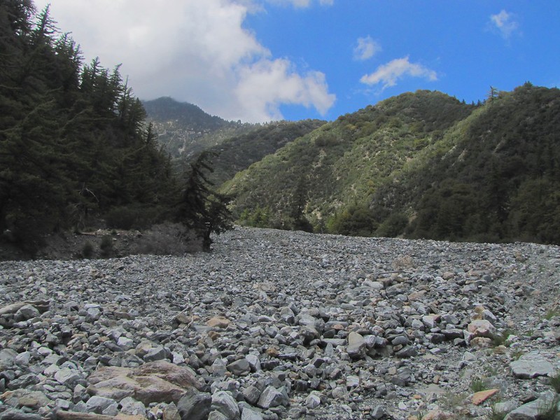
The canyon took my breath away. The geology was diverse and unique!
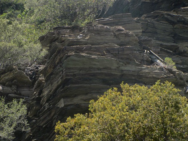
Stacked geology by Missy
The next day we headed out from Fish Fork, with no rush. We passed by the beautiful Falls Gulch Falls. A narrow cascade….
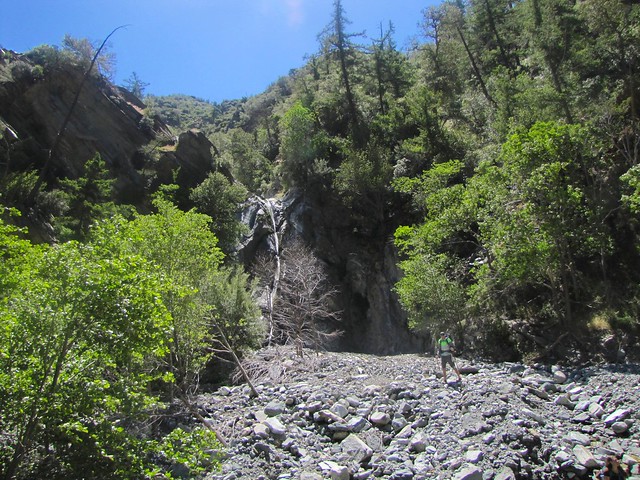
Fall Gulch of East Fork by Missy
We explored Iron Fork and took a break at one of the back country camps spots there. Darryl wants to descend North Iron Fork to East Fork so that trip may be in the works.
At Iron Fork we soon passed that Hobo Daves hut and the start of the "smarter way" to Stanley Miller mine which I also hope to get to soon before the heat takes over.
After passing the Bridge to Nowhere we decided to head down and explore the Horseshoe Mine.
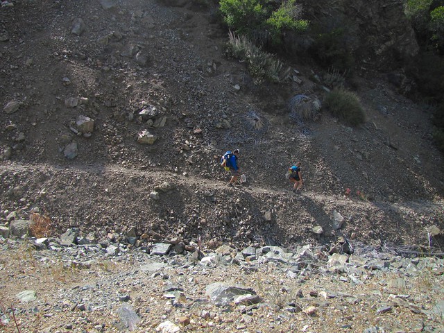
Heading down to Horseshoe Mine by Missy
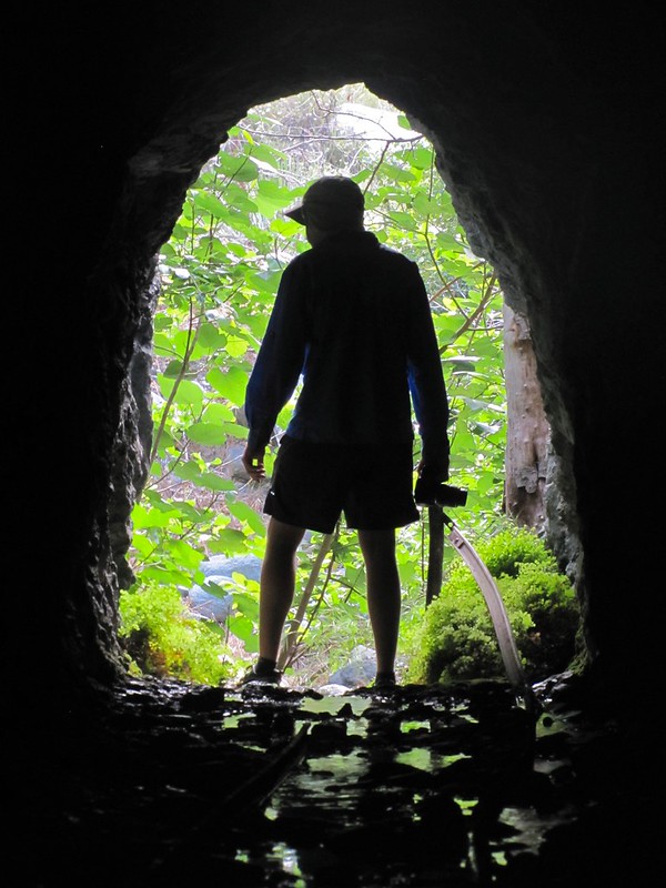
Silhouette in Horseshoe Mine by Missy
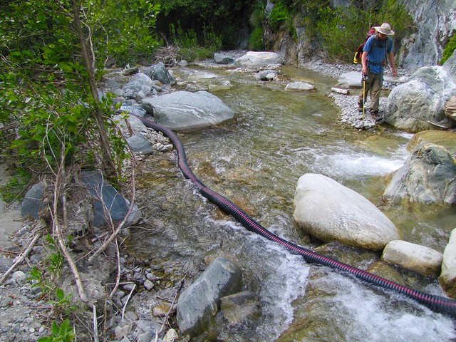
Hose supplying water to prospector downstream by Missy
We then passed by two prospectors, who gave us a tip on Devils Gulch Falls, it took our breath away!
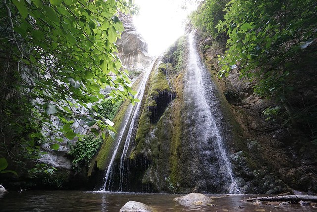
Devils Gulch Falls by Missy
Joining the main trail to Heaton Flats, we joined the Bridge to Nowhere hikers bumping their music on their boomboxes….
Great trip!
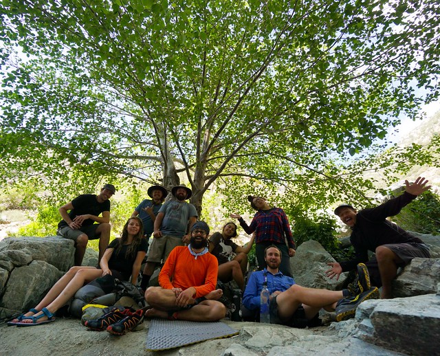
The East Fork Crew! Photo by Darryl Vigil by Missy
Read about East Fork history on my blog/more pictures on Flickr


