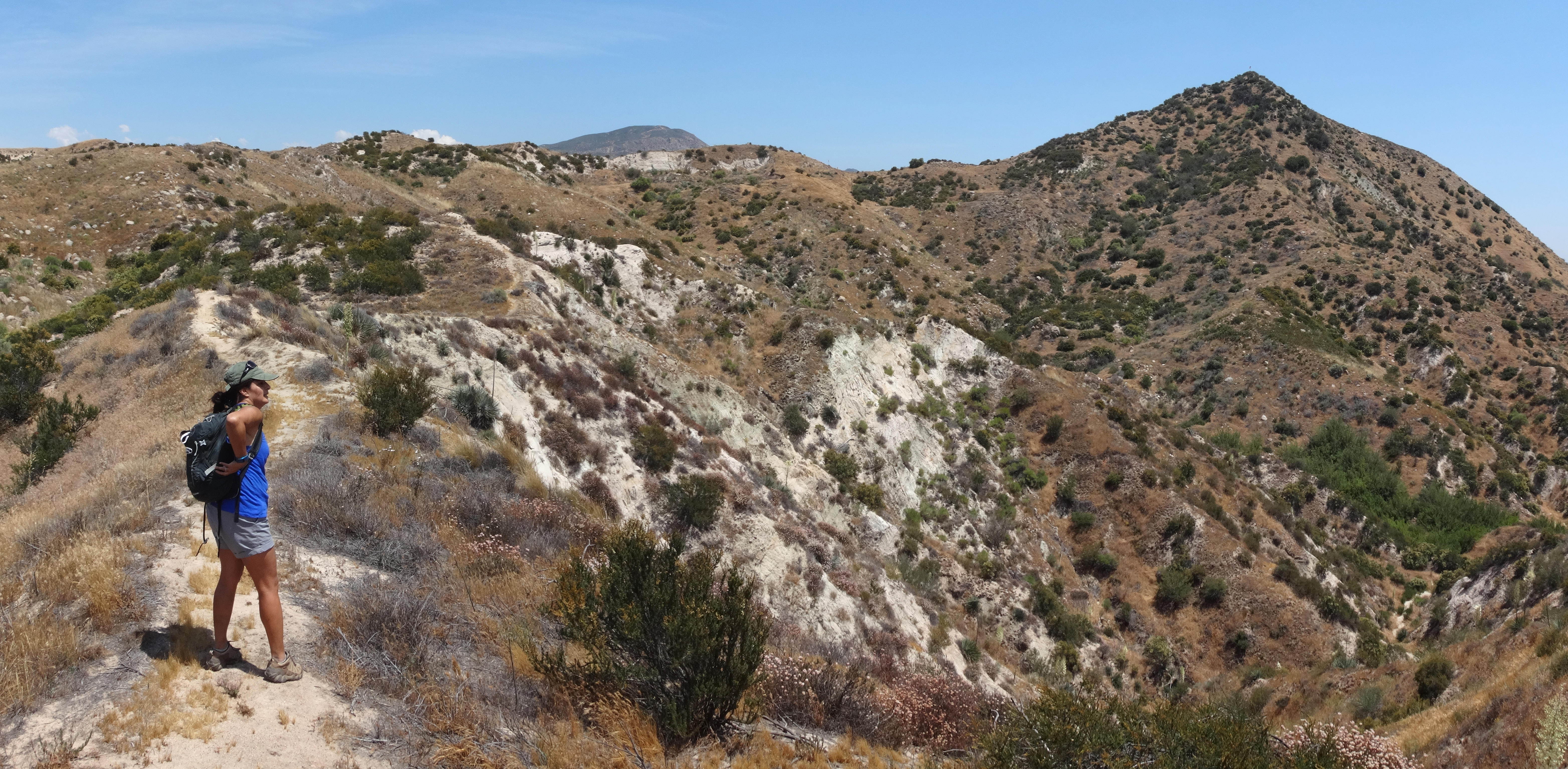
Initially the use trail is overgrown and doesn't look like much, but once you hit the proper ridge, the path is clear. It does some turning and twisting before a steep push to the summit.

The top has a couple old markers, a big American flag, and a wooden cross, which had tumbled over but we uprighted.
This is a short round trip of two miles and 500' of gain, which is well worth the effort for some cool views of the Cajon Pass area.
Next we drove along the 138 to Silverwood Lake and headed up Cleghorn Road. This is a rough dirt road that goes for miles and miles. Our first break was at Cleghorn Pass to check out the pair of ancient water tanks.
Beyond this we parked outside the locked gate at the unsigned Cajon Mtn Rd.
We hiked up the road to Cajon Mountain, which has two bumps worth visiting. The first is the old Lookout area and Calo BM.
Then a little east of this spot is the true summit, which can be reached via a use trail that required some small effort to locate.
After returning to the car, we decided to try to find Sugarpine Mtn, the next peak along the road.
However, the map I had was pretty crappy and so we ended up following some really old and grass-covered firebreak to Point 5514 instead. The summit area was covered in thorny bushes. We scratched our legs up quite a bit trying to reach an old metal post.
By now I had accepted that I didn't know exactly where we were along the fire road. So we drove around in the dark for an hour, heading down on the best-looking roads until we finally made it back to the Silverwood Lake area.
