

A young, slim guy named Anthony was on his way to Potato Mtn. So we chatted a bit while making our way up the fire road in Evey. The stream was flowing, and the early morning air was fresh and chilly. Anthony had small water bottles stuffed into the pockets of his hooded jacket and camo pants. He felt a little sick after mistakenly sipping old water from his Camelbak. Nasty! After Potato, he planned on exploring even more fire roads in the Claremont Wilderness.
I, on the other hand, had my sights on reaching Baldy Village via Sunset Ridge. So at the Potato Mtn junction I wished Anthony a good day and turned onto the steep-ass Palmer-Evey Ridge.

Now it was me who was feeling sick--from the store-bought salad. After a pit stop in some bushes, I started to improve and make better time. The ridge route (old trail/firebreak) climbed a thousand feet in about half a mile. It connected with the Sunset Ridge fire road.
I then followed the road for a mile to the Evey water tank.
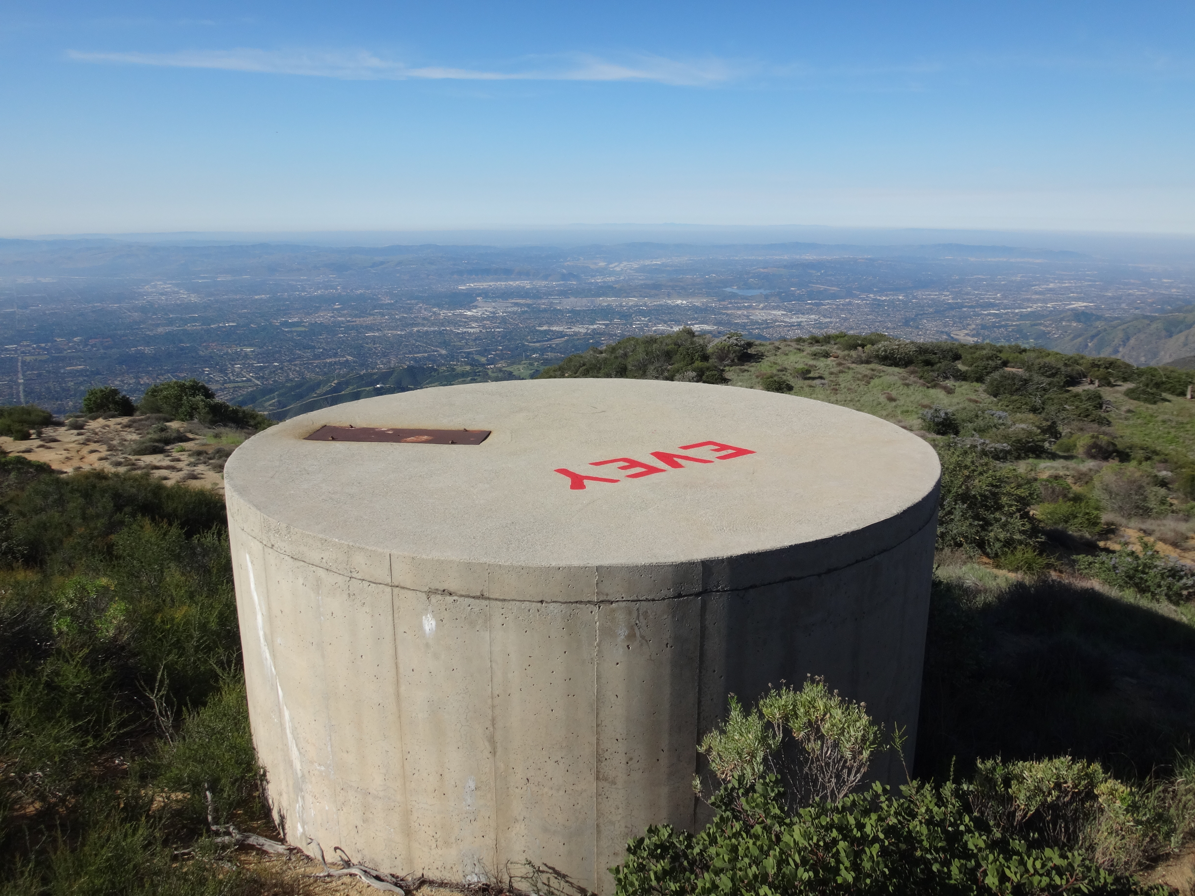
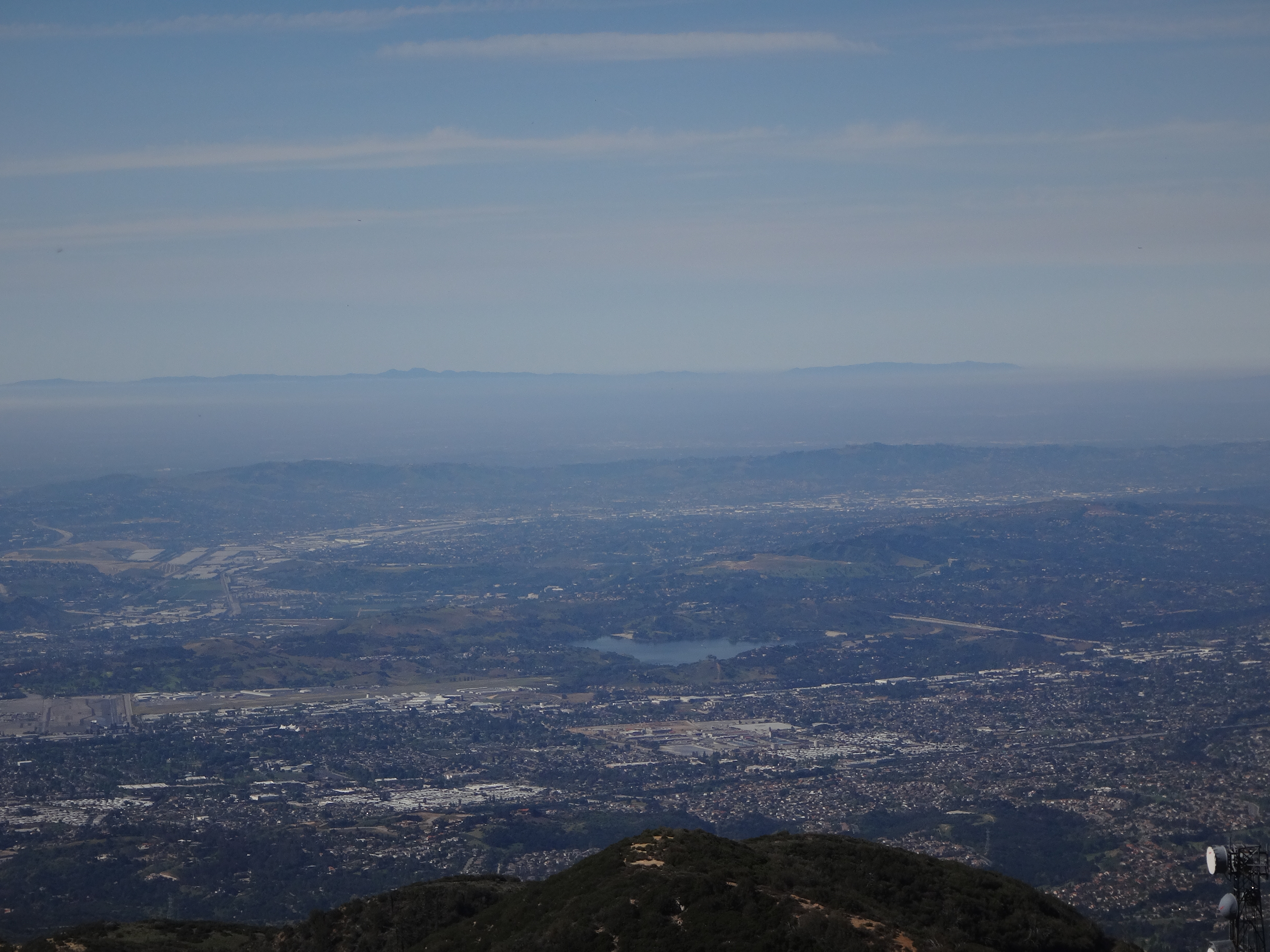
There was a mostly fabulous view of Catalina.
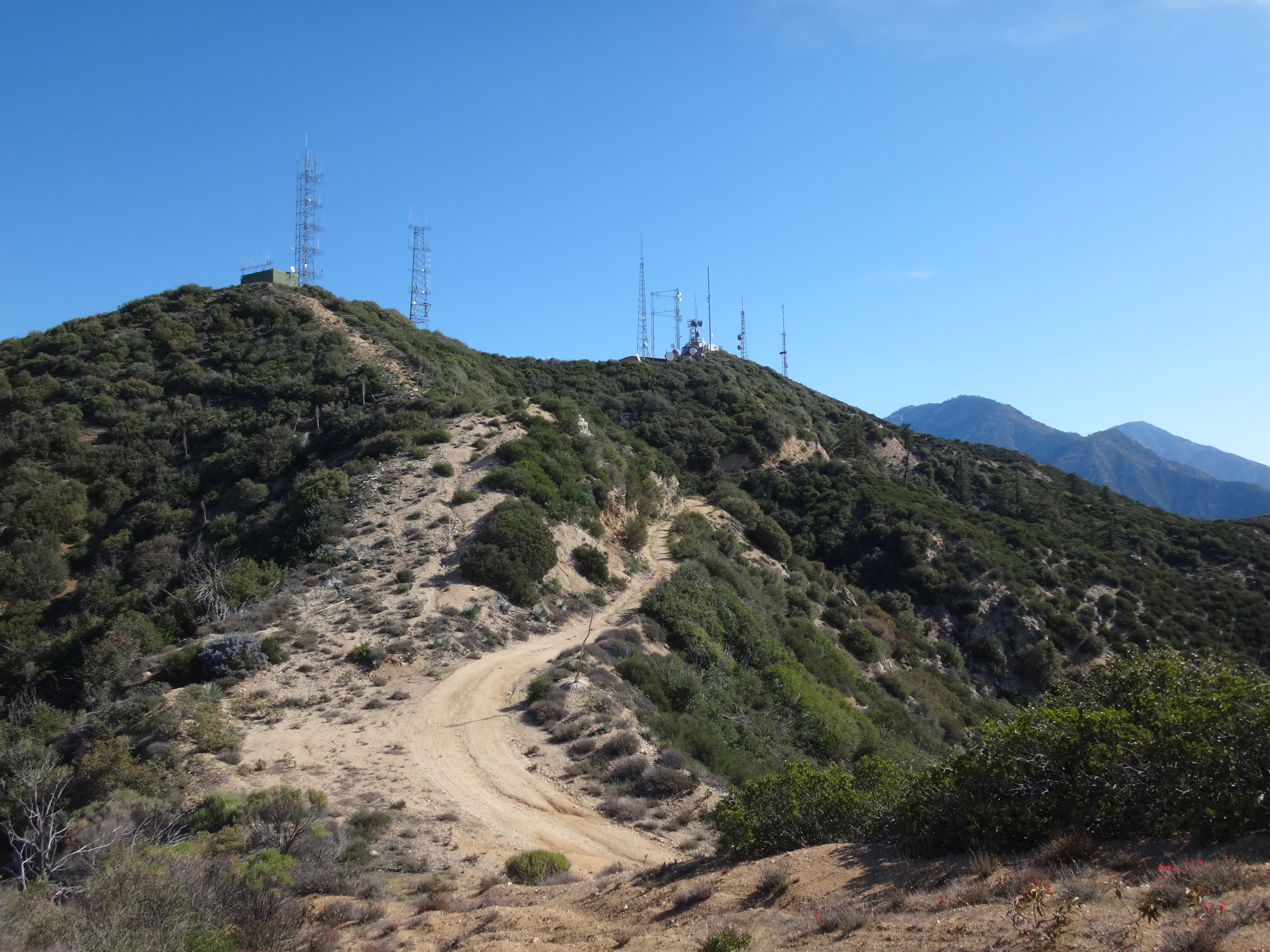
Another 1.8 miles on the road and I was finally at my first peak of the day, Sunset Ridge.
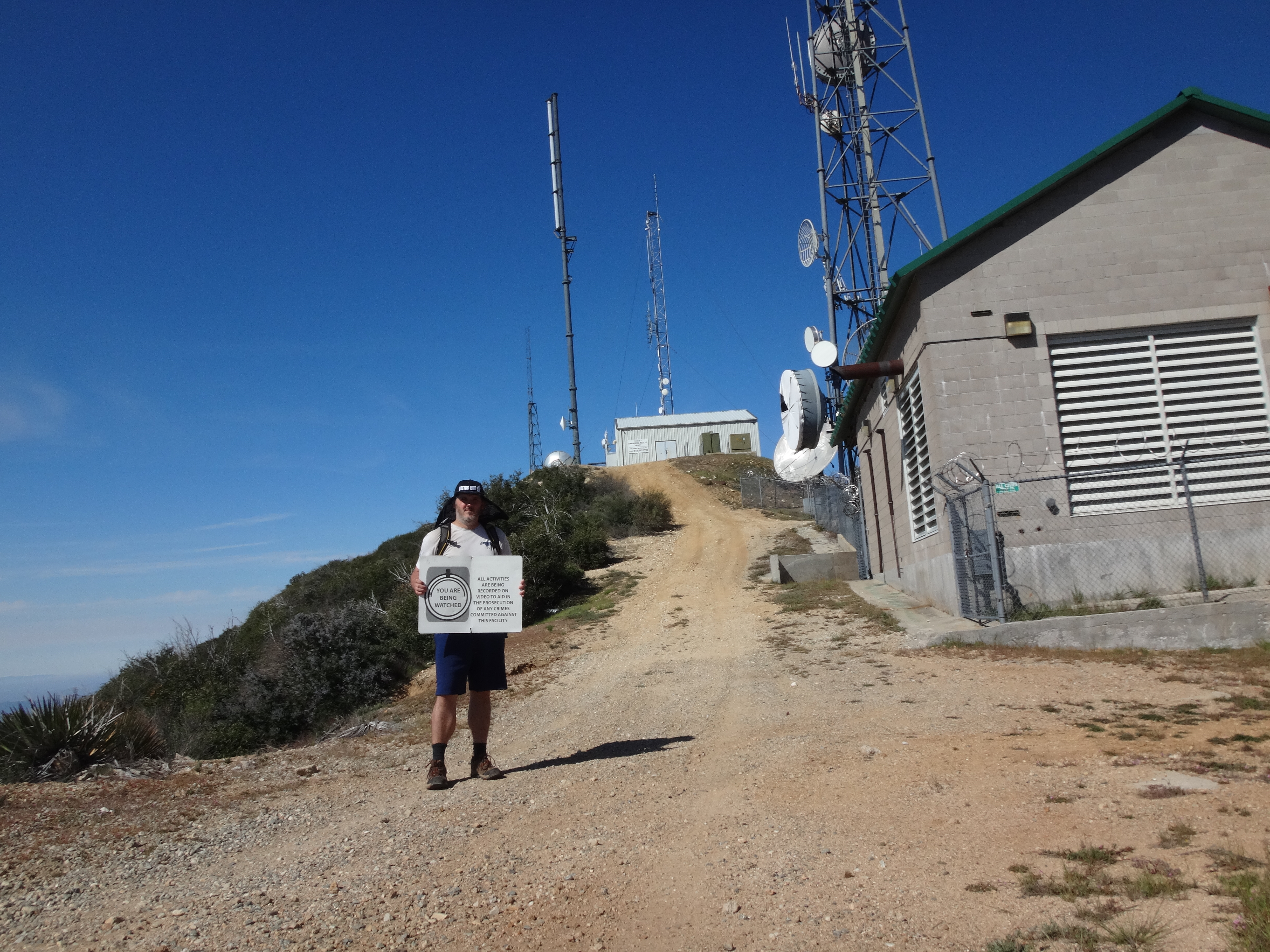
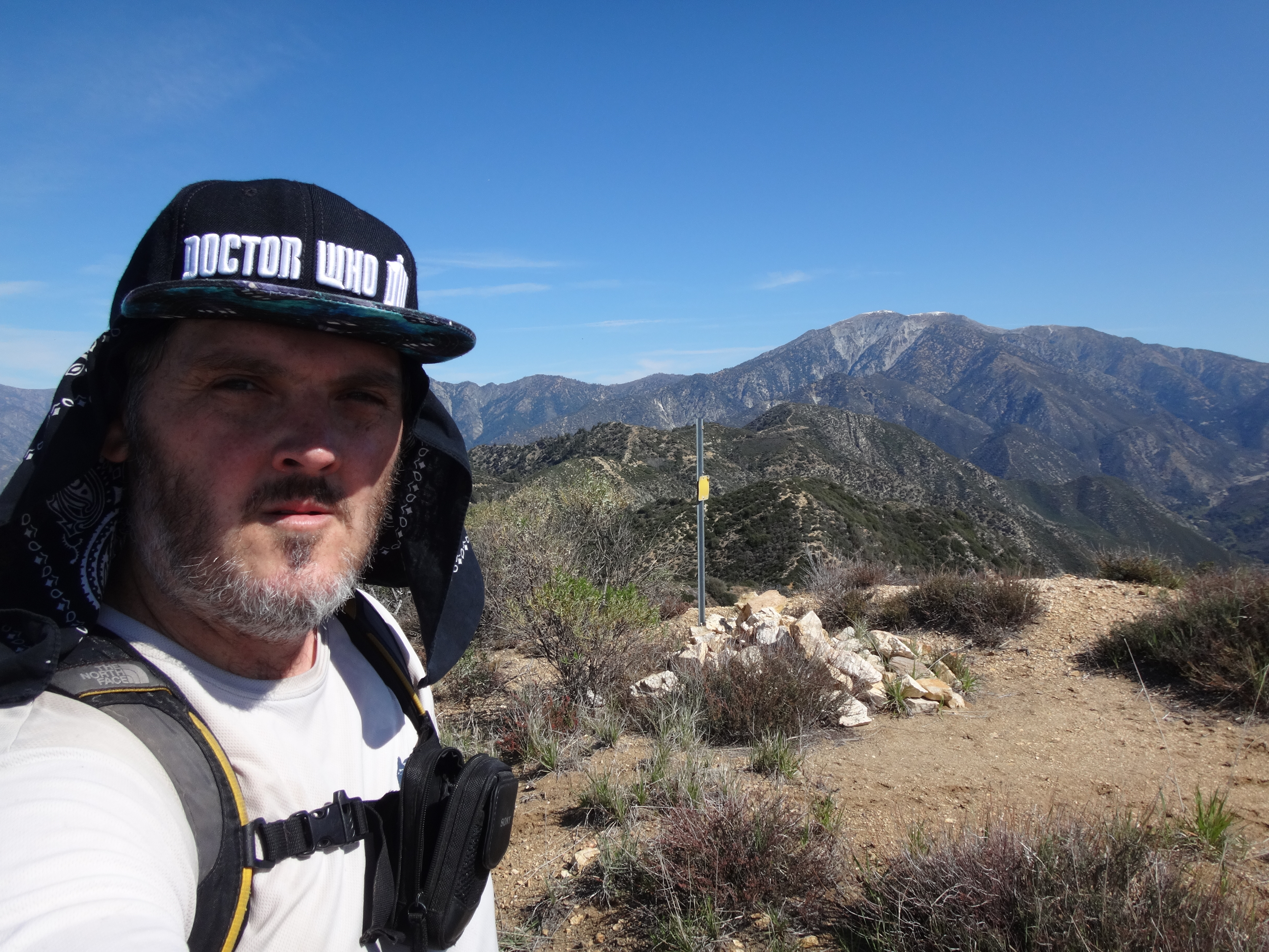
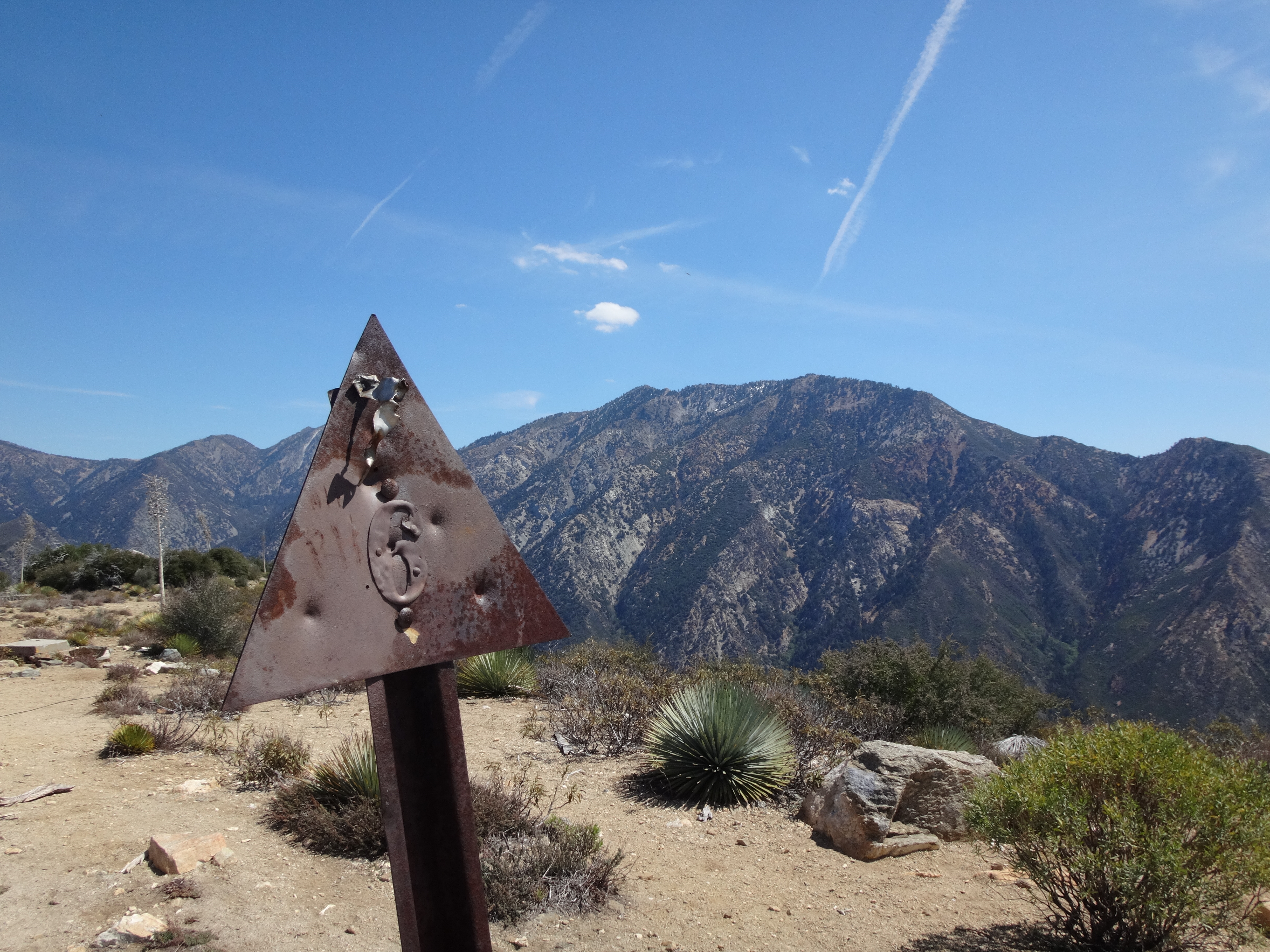
A communications tower crowns the top of Sunset Ridge (5399'). And you can look straight across to the north at nearby Colver Peak (5511'), which quickly became my second summit of the day.
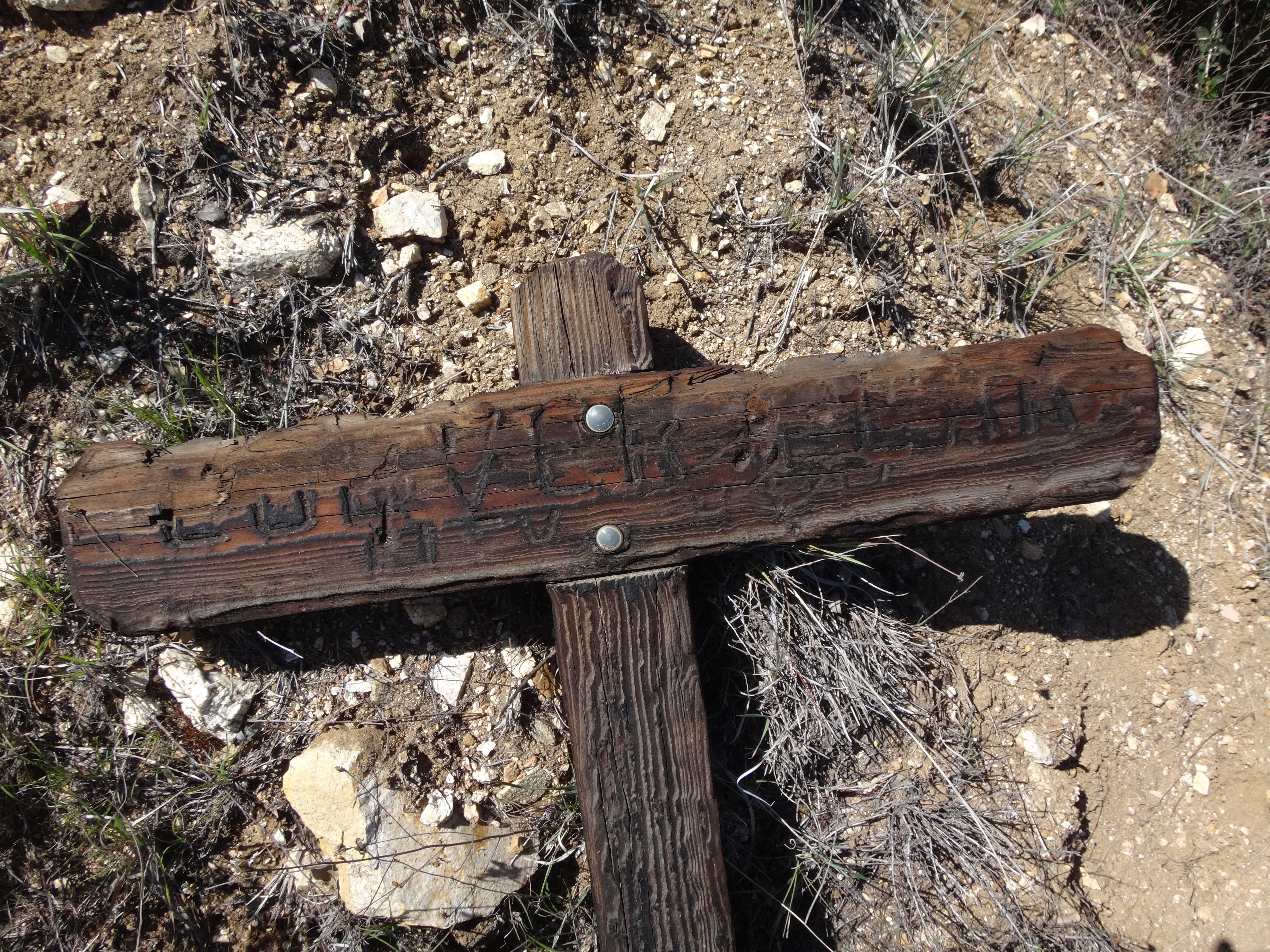
I hiked down the north side of Colver, regaining the fire road. Here rested the charred remains of the Colver Peak sign.
Another mile on the road took me to Dry Lake, a small waterless basin immediately below a prominent saddle in the ridge.
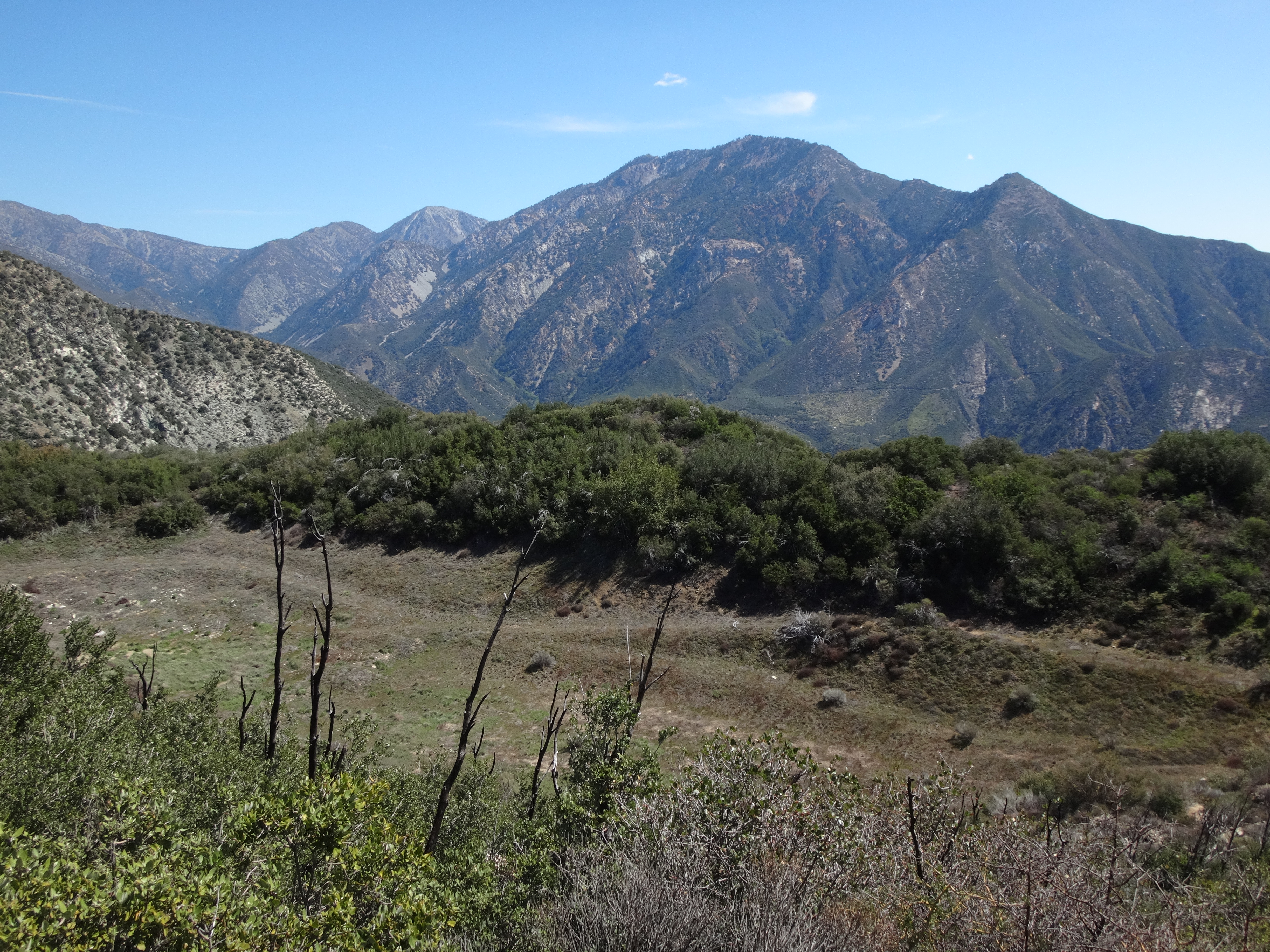
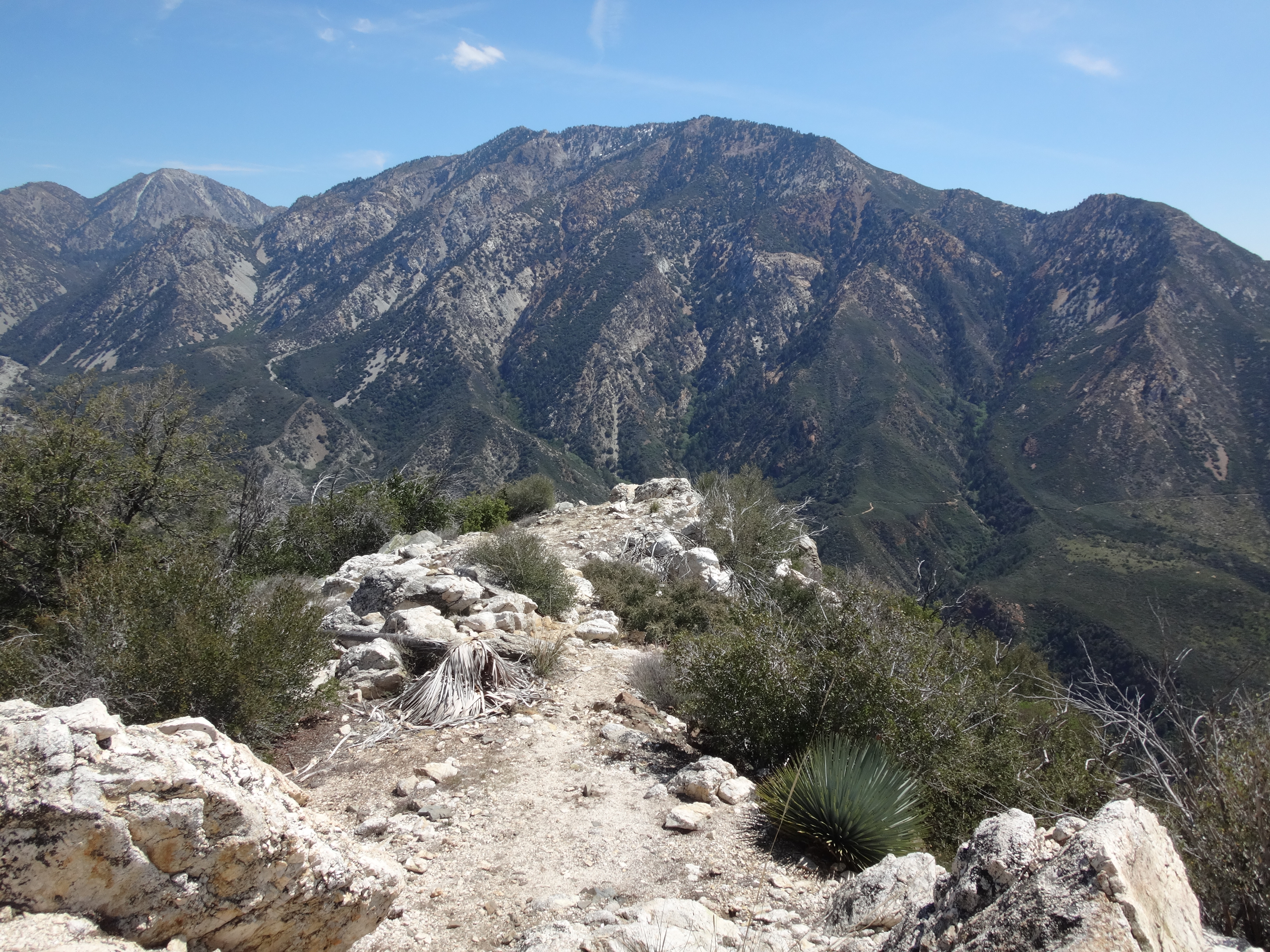
Having lost some elevation en route to Dry Lake Saddle, the next 1.7 miles climbed 800' or so to Sunset Peak (5796').
I took the class 2 ridge down Sunset to Cow Canyon Saddle.
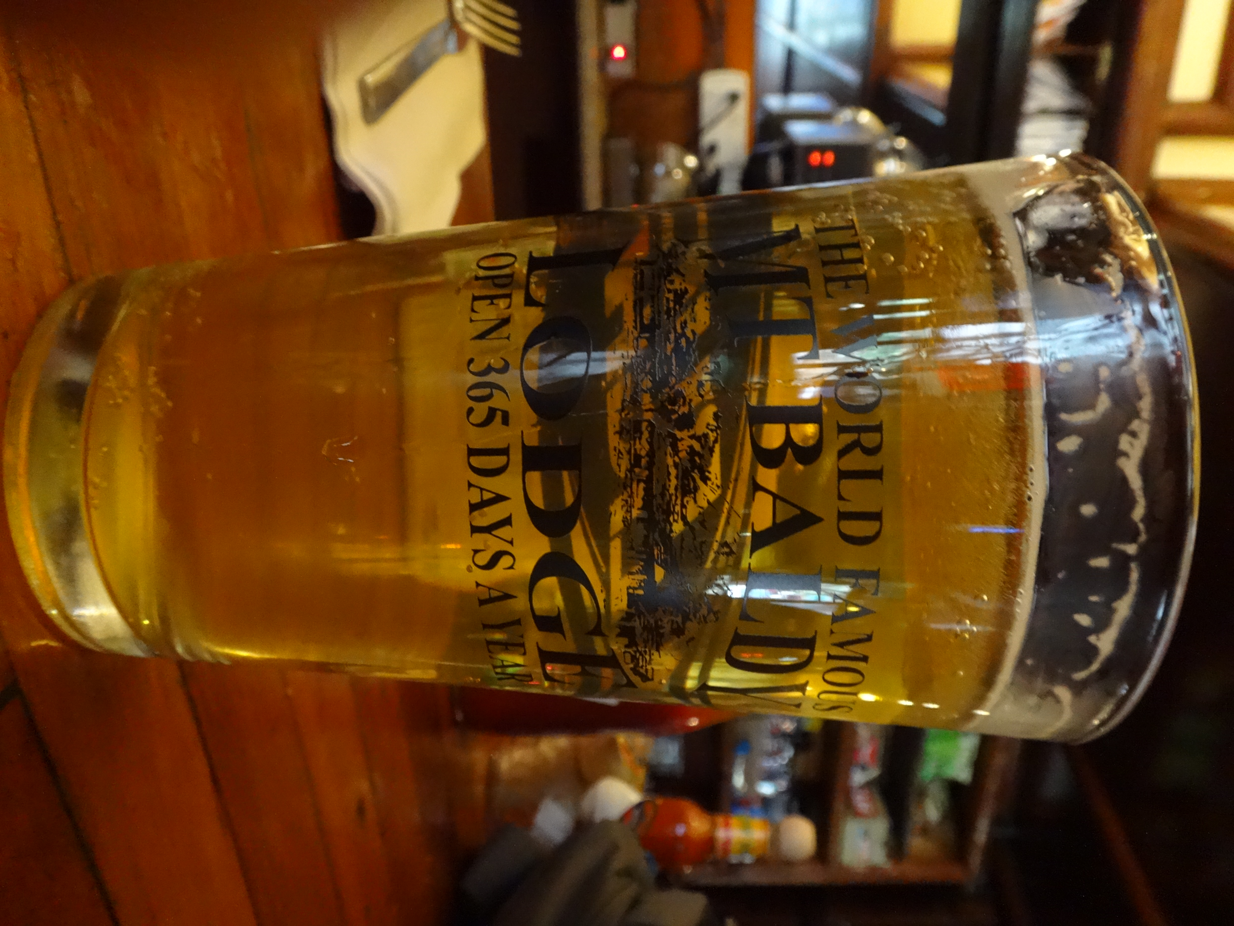
Then I walked into bustling Baldy Village for some much needed nourishment at the Lodge. While waiting for my burger and fries at the bar, I played a video blackjack game called Avalanche Jack, in which you climb higher up a mountain as long as you keep winning. After attempt number four, I finally summited that virtual peak!
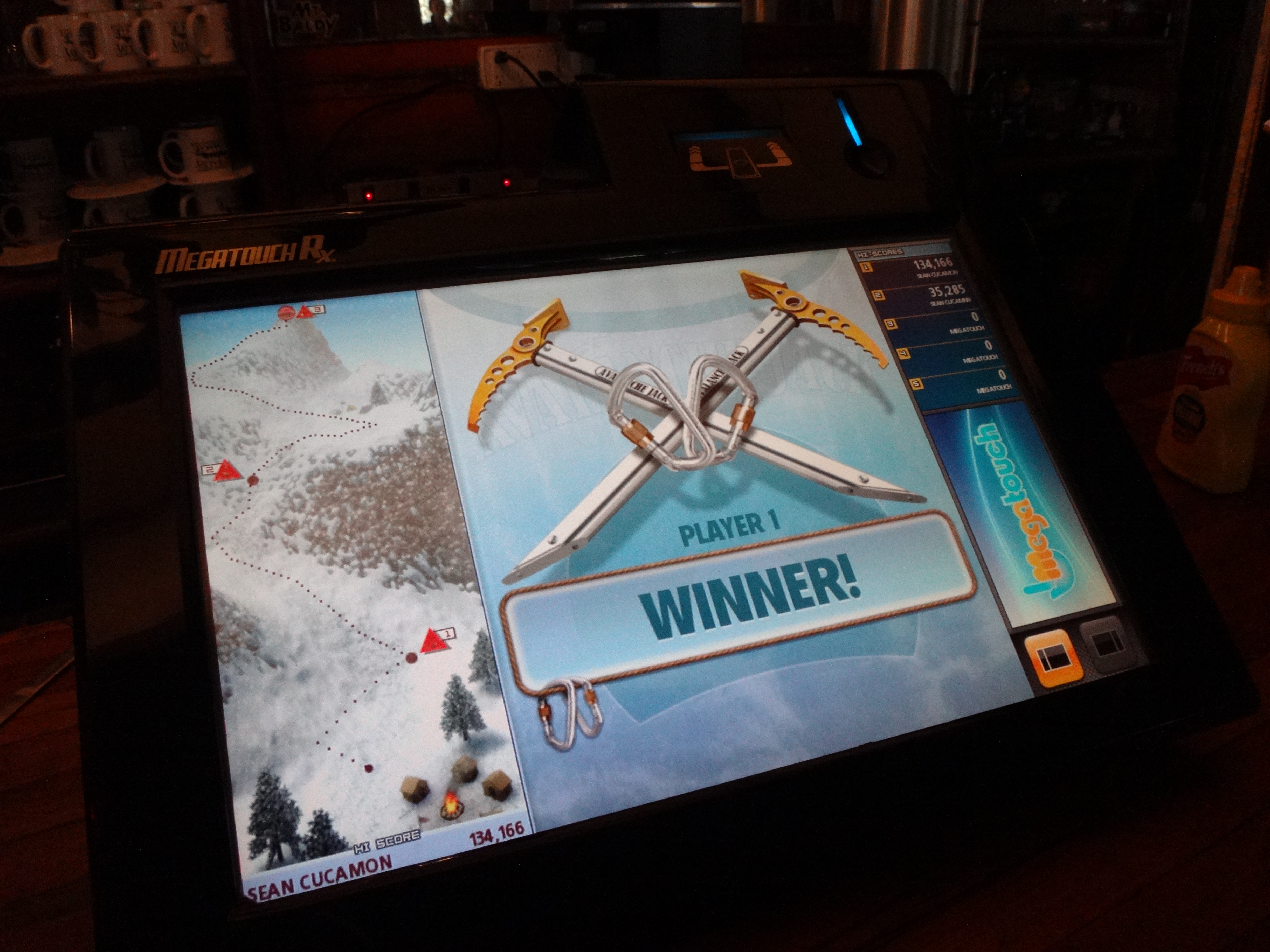
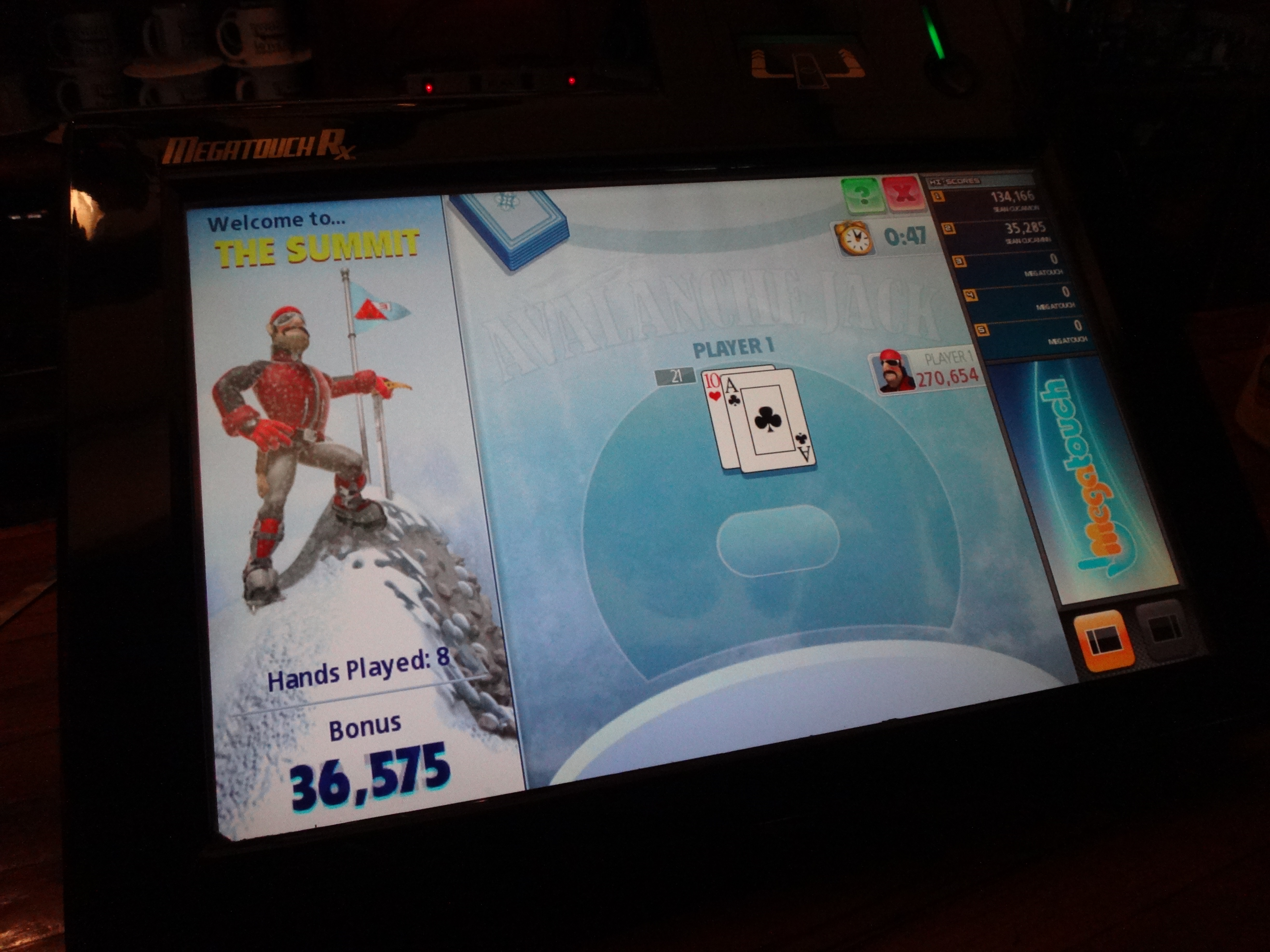
So not only am I a badass peakbagger in reality, I also get shit done in the fake world of Avalanche Jack!
Three Willow lagers made me surprisingly happy to take on the long journey back to the car.
I paid my bill, and the lady next to me said, "Have a great day!" We hadn't been conversing. She and her boyfriend had been munching on nachos while I was busy summiting fake peaks and getting intoxicated. The middle of her forehead was pierced. I couldn't recall ever before seeing someone with jewelry inside their forehead. I've seen the Hindu dots, and little gems or whatever afixed to the outer layer of skin. But not an actual piercing. "Did you go hiking today?" I asked, stifling the urge to comment on her forehead. She then explained that she only hikes to the Ski Hut to hang out and cook for people. She's never continued up to the summit of Baldy. I told her to go to Baldy next time.
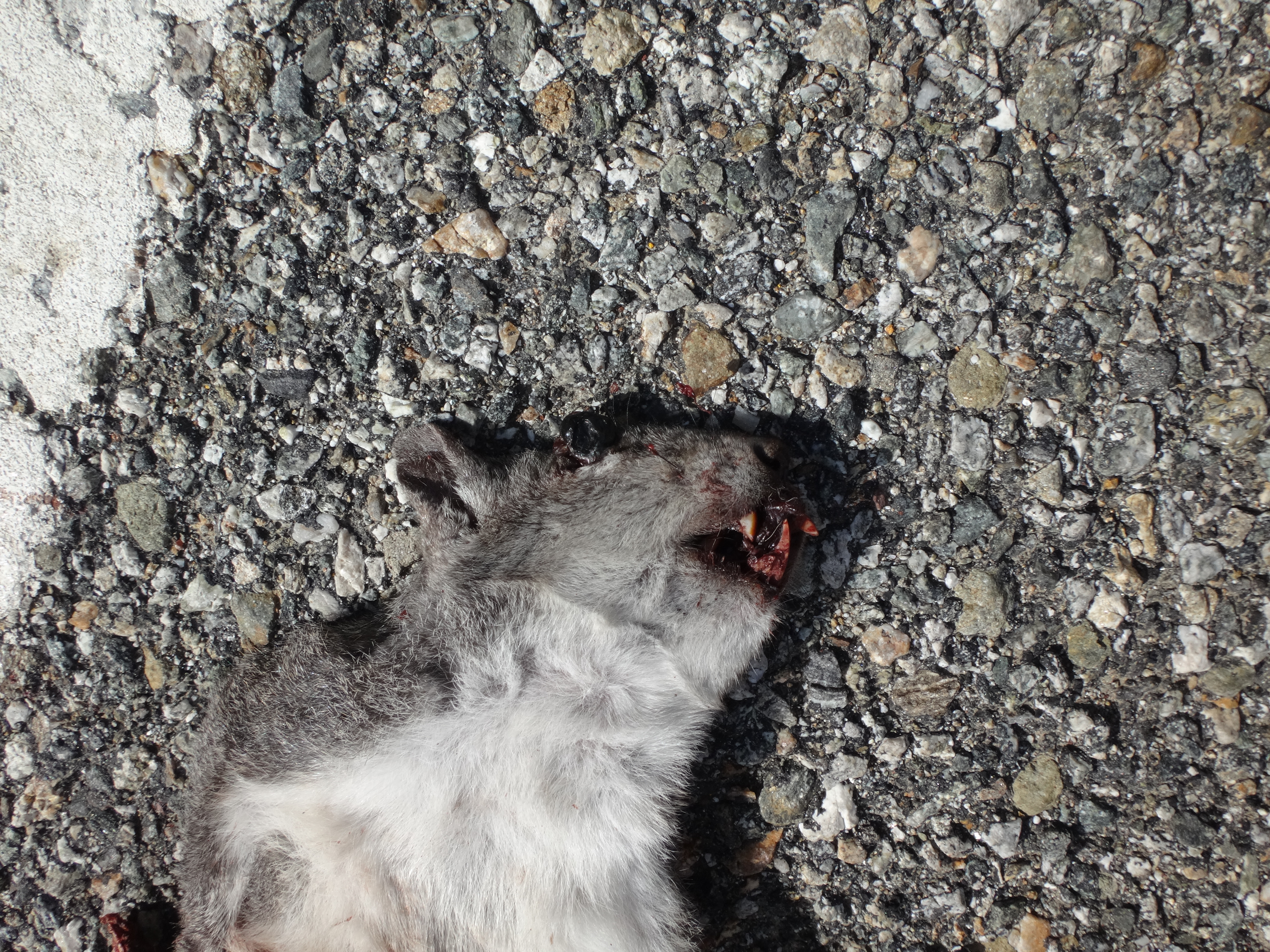
Outside the Lodge, everything was ten times more interesting, now that the alcohol freely flowed through my dehydrated system. Woa! Right next door to the restaurant, some dude was digging up his septic tank or sewer line, while his dog observed from the window. Cool! A cat was hanging out on a porch railing. Awesome! A dead squirrel in the road!
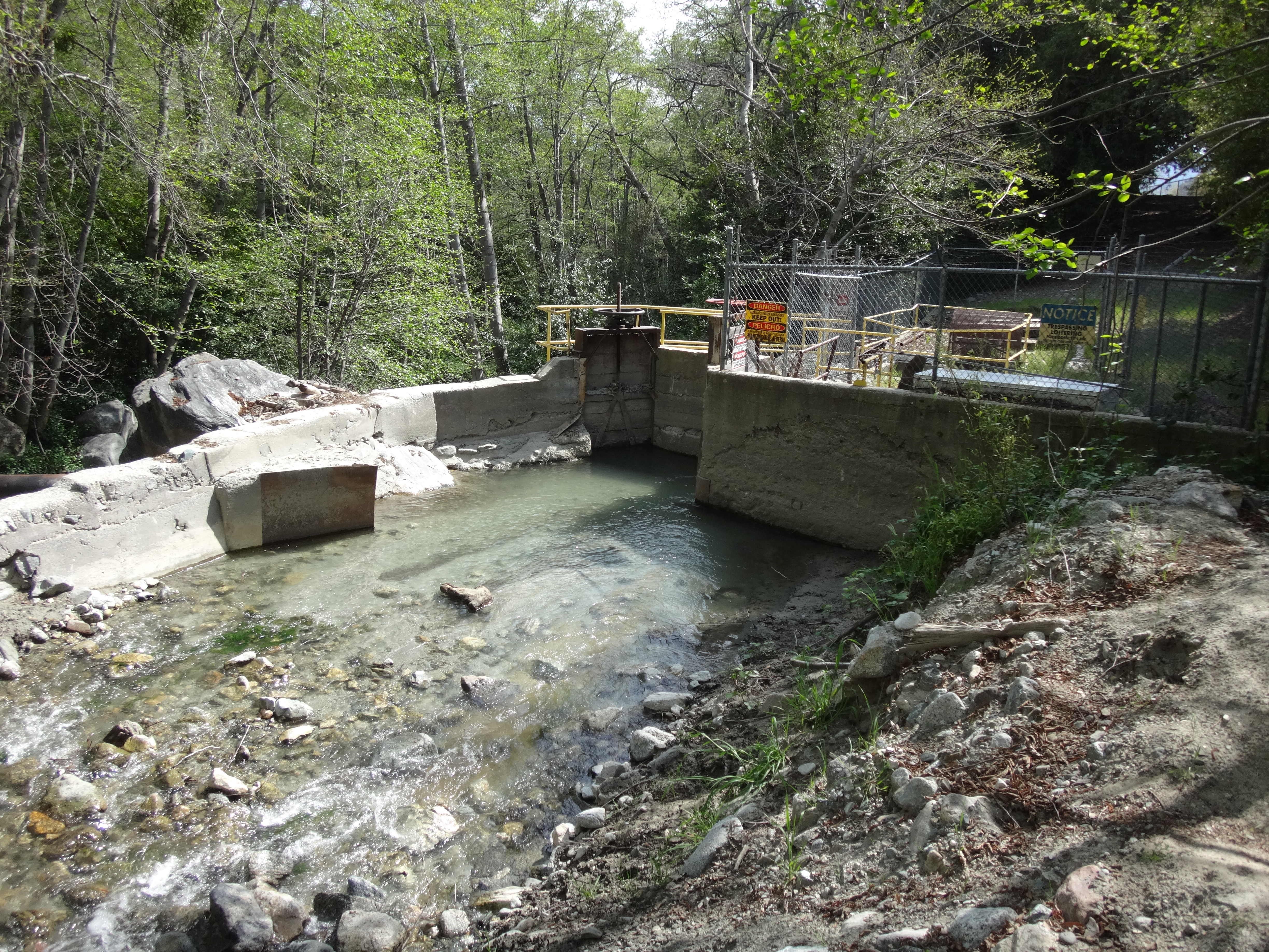
I stopped at the post office to refill my water bottles. A kid who had been skateboarding in the parking lot before lunch was still at it now, over an hour later. There was a large lemon abandoned on the water fountain. I left it for the next lemon lover. Continuing down the Baldy Road, before the school, I took a peak at the actual water in the San Antonio Watershed.
Then, before reaching the Barrett-Stoddard Road, a brilliant idea came to me in a flash. I had been planning to hike down along the stream, but now I thought, "Why don't I go up the road to Stoddard Peak?"
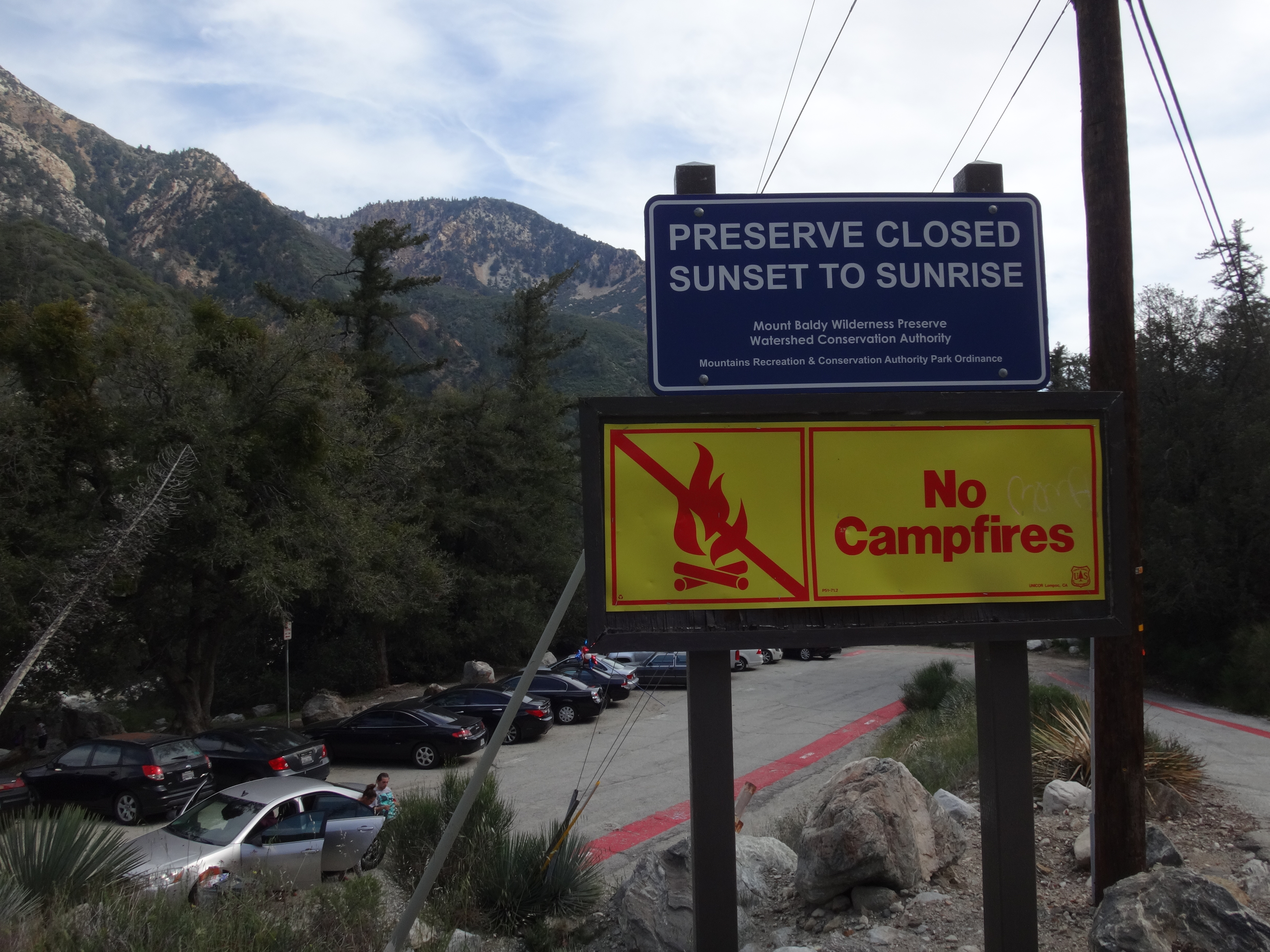
By the way, when did this area become the Mt. Baldy Wilderness Preserve?
I forgot to mention that I had also consumed 800 milligrams of Ibuprofen with my three beers at the Lodge. So I felt no pain while grinding up the road to Stoddard Flat, where I took a short break to contemplate the slogan printed on my bottle of coconut water.
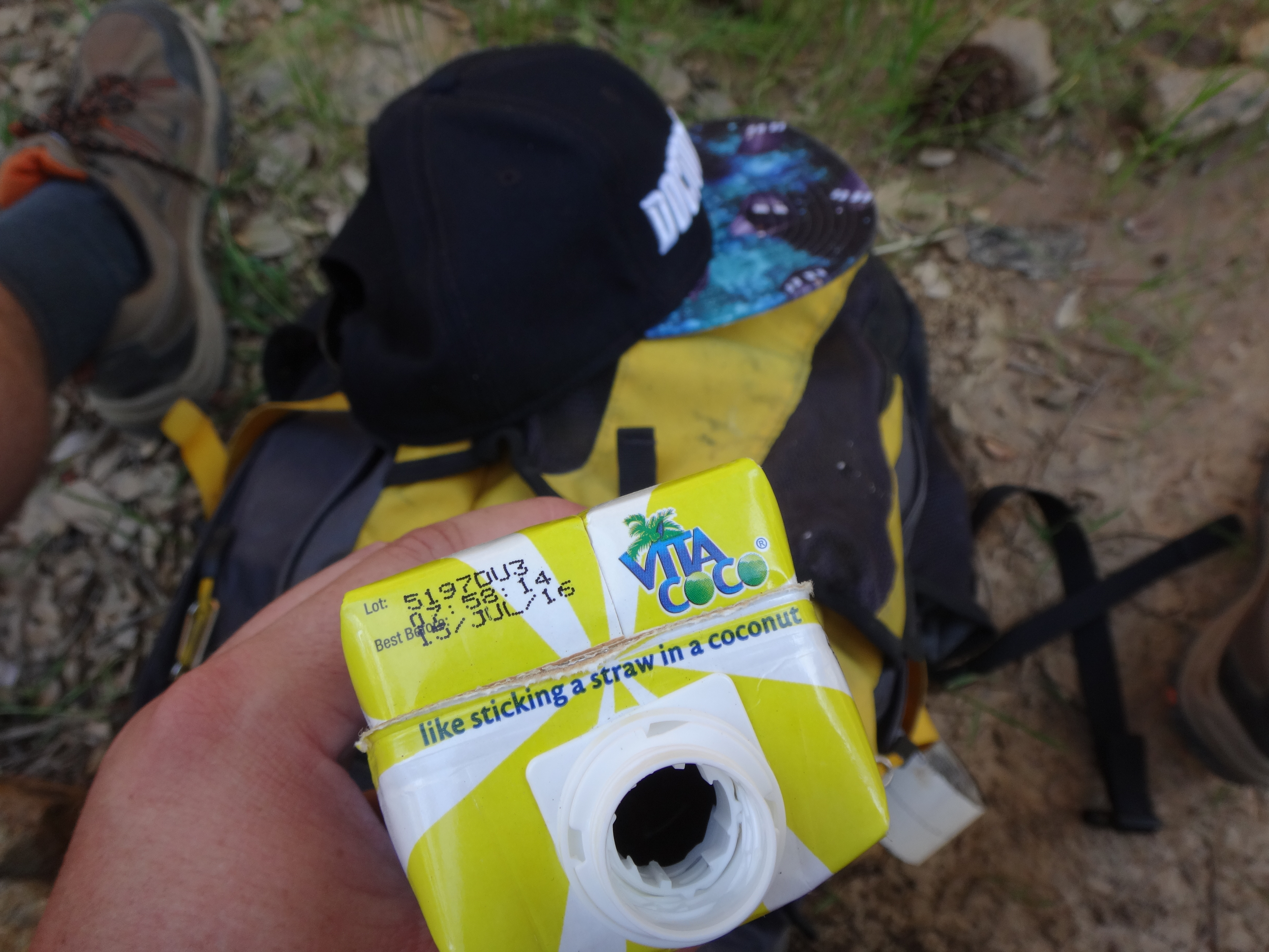
Do people really stick straws into coconuts? I just pour it into a glass.
Anyway, long story short: I made it to Stoddard Peak.
Where I briefly talked with two other hikers. They were lucky enough to have seen a rattlesnake.
Then I checked out Stoddard's long South Ridge.
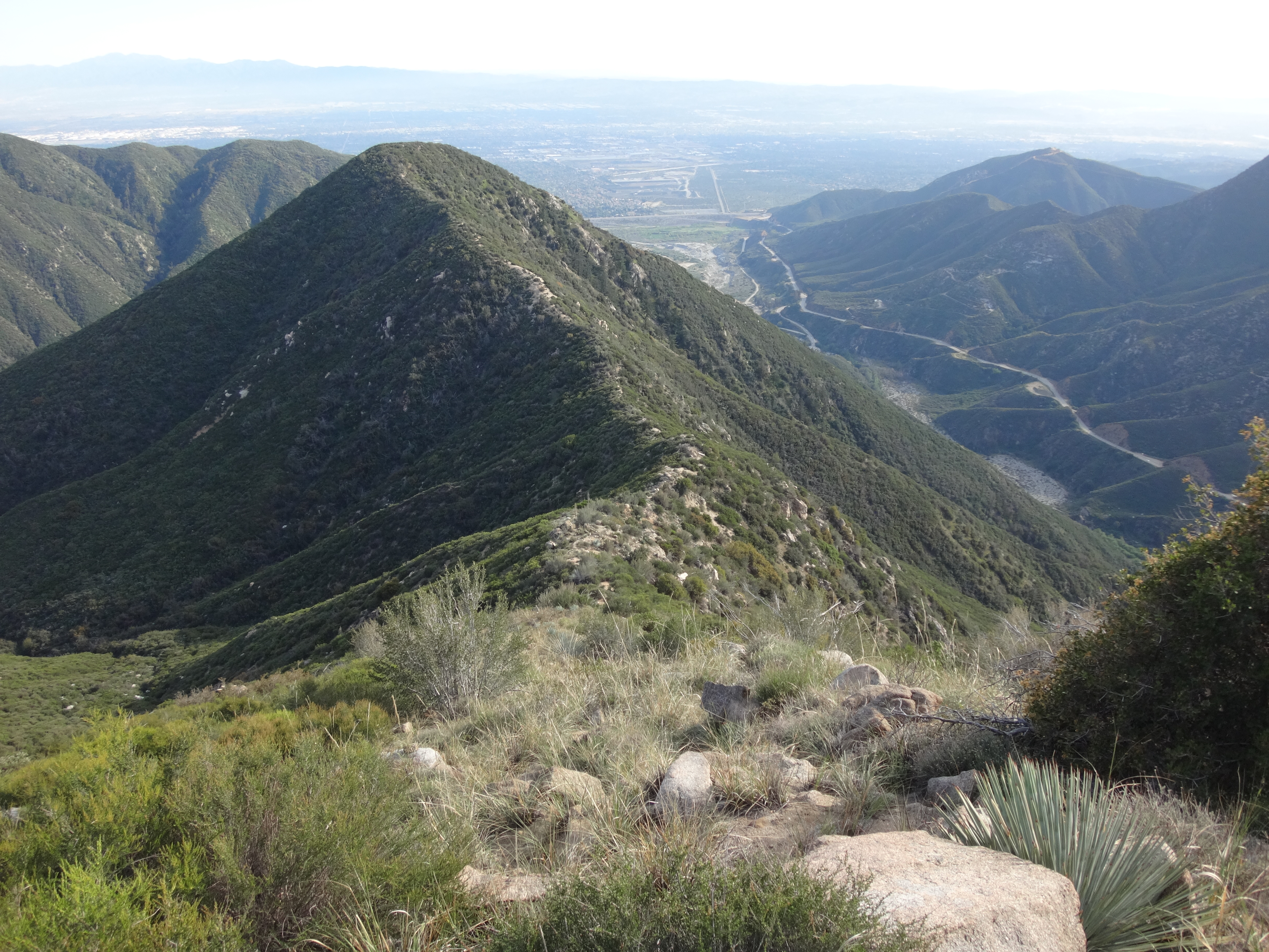
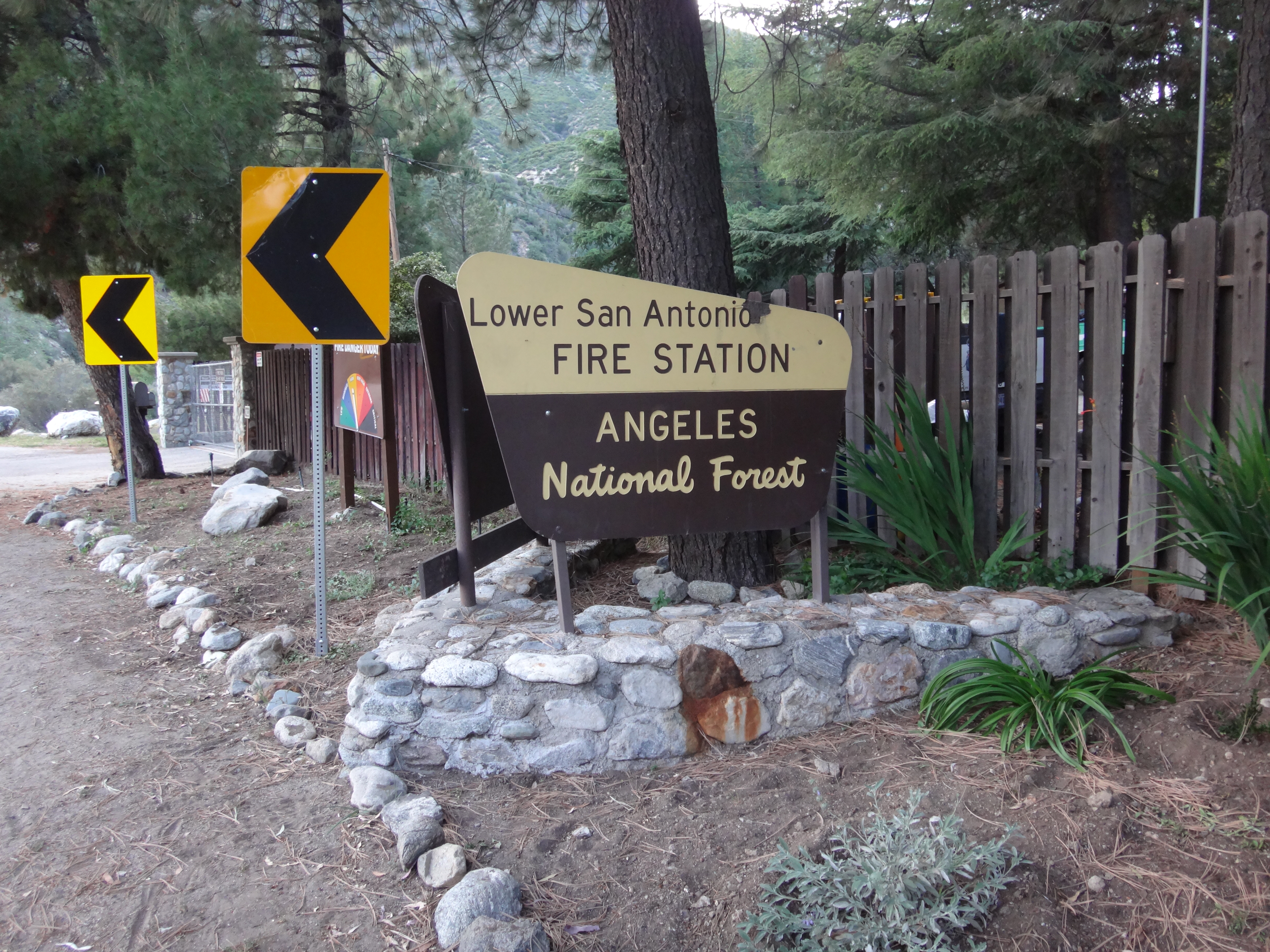
For the most part the ridge has a decent use path through light and moderate brush. Also, some sections are very steep with slick, sand-covered rock surfaces, where a slip might result in minor injuries. In a few places I used all fours to slide down on my butt. From Stoddard Peak it was about two miles to the Lower Fire Station.
I then started up the road back to my car at Evey Canyon. After pounding the pavement a bit, our very own Taco pulled up and offered me a ride. I mentioned coming down Stoddard, and he said he probably saw me, because he had been hanging out on some crag across from Stoddard.
Whadda small world it be!
