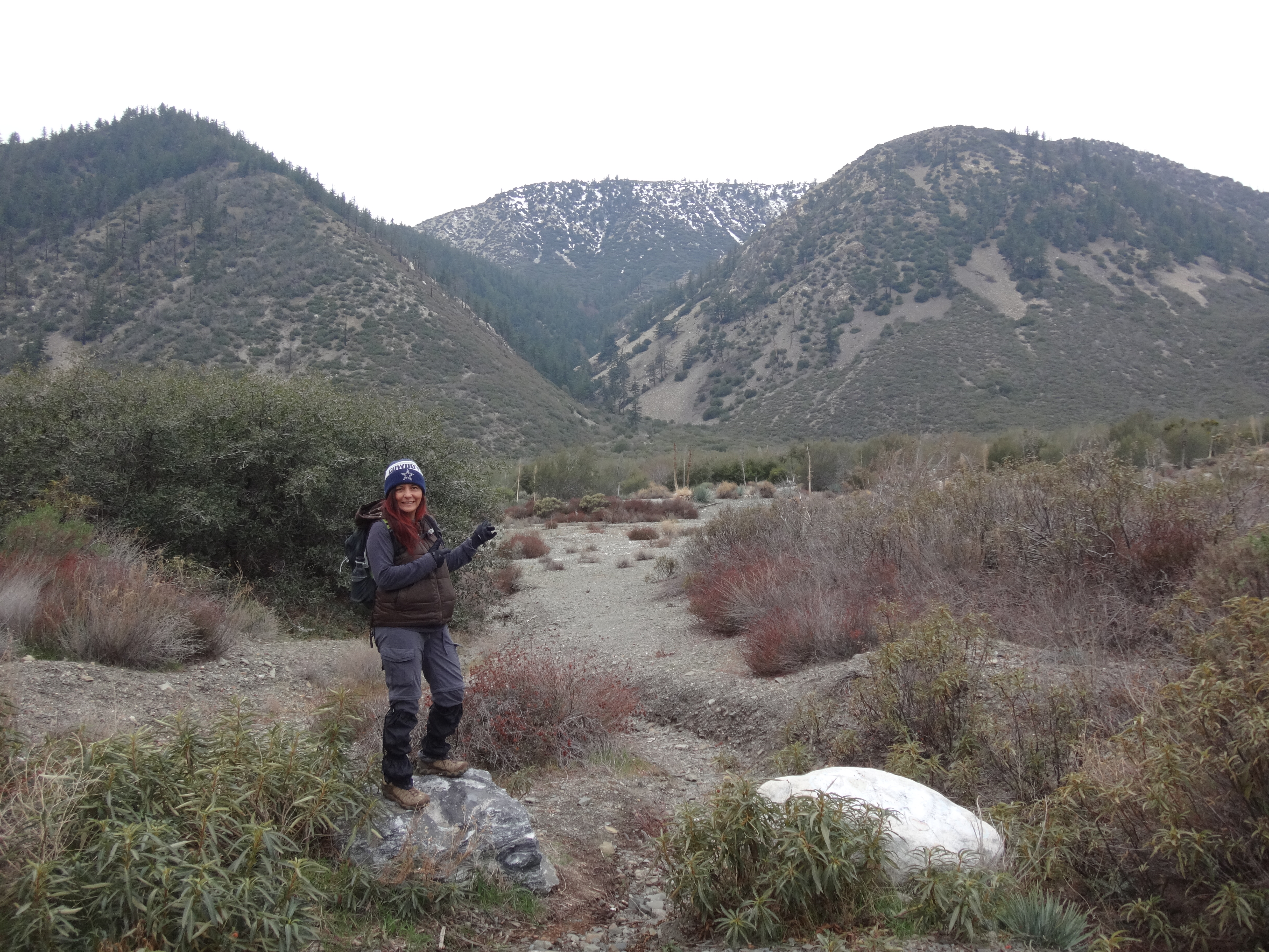
Around 9:45am we parked along the North Fork Road directly across from the mouth of Timber Gulch and started out crossing the wide wash.
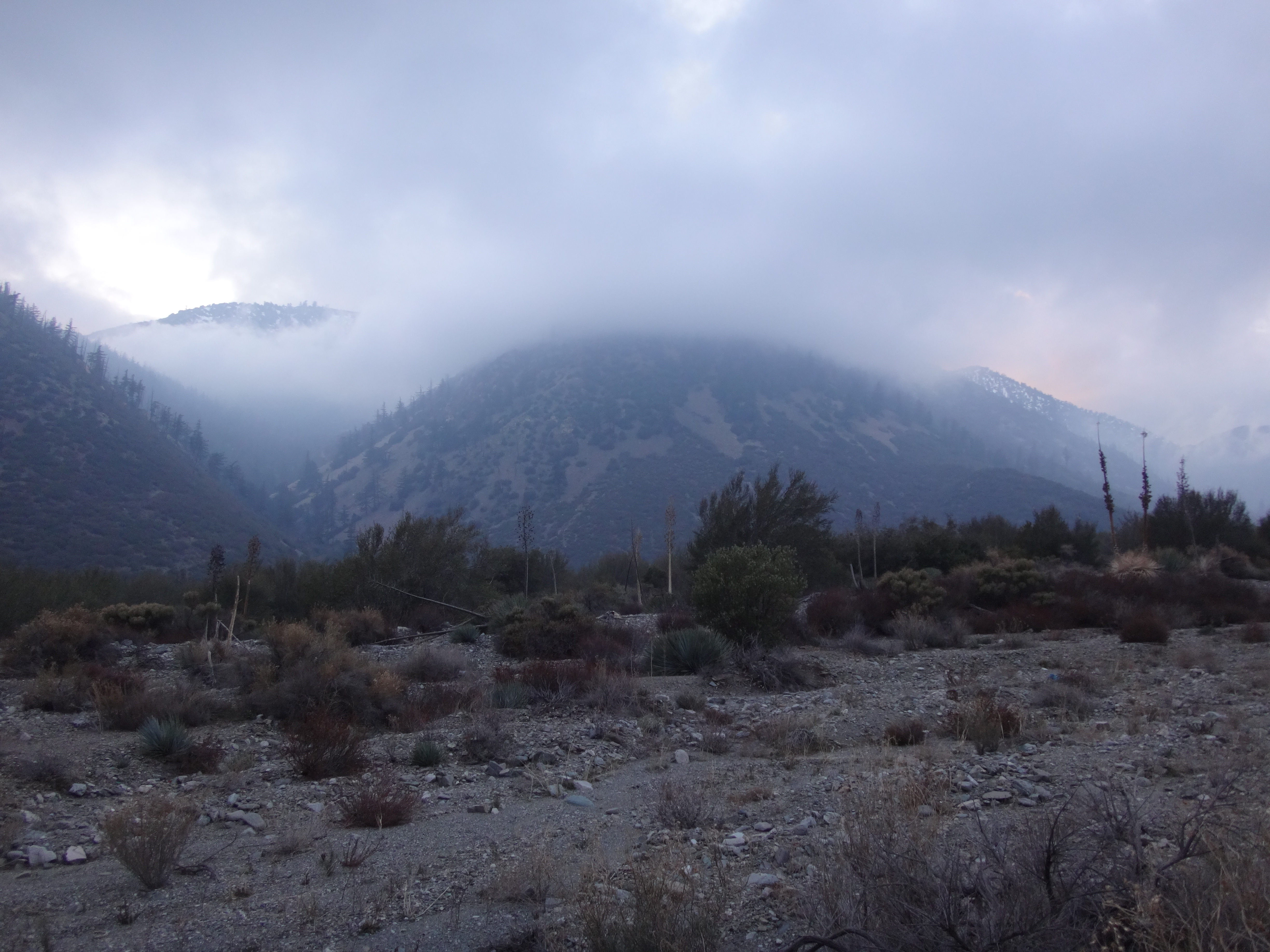
It was a cloudy morning with chilly temps. Light rain and some wind were forecasted. But the view toward San Jacinto was still clear.
We had discovered the most direct, relatively brush-free path across the wash during a prior visit, and made the half-mile to the mouth of Timber Gulch in about fifteen minutes.
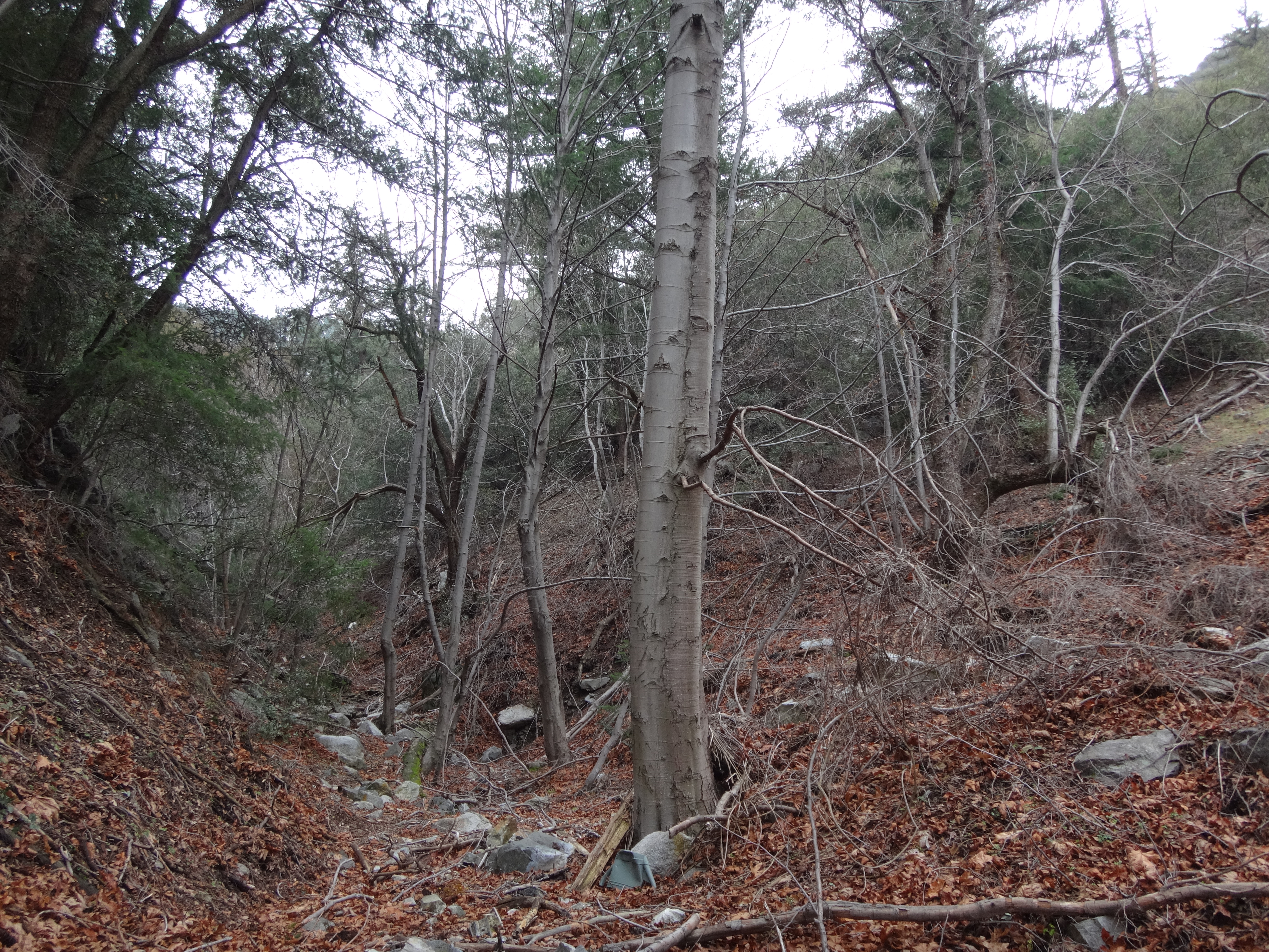
Timber is a small, narrow canyon with tall trees, a little stream, mini-waterfall, and rough use trail. Unfortunately it is also a popular getaway spot for beer-guzzling litter bugs. We found several empty cans along the trail for another half-mile, up to a split where the main canyon bends to the right.
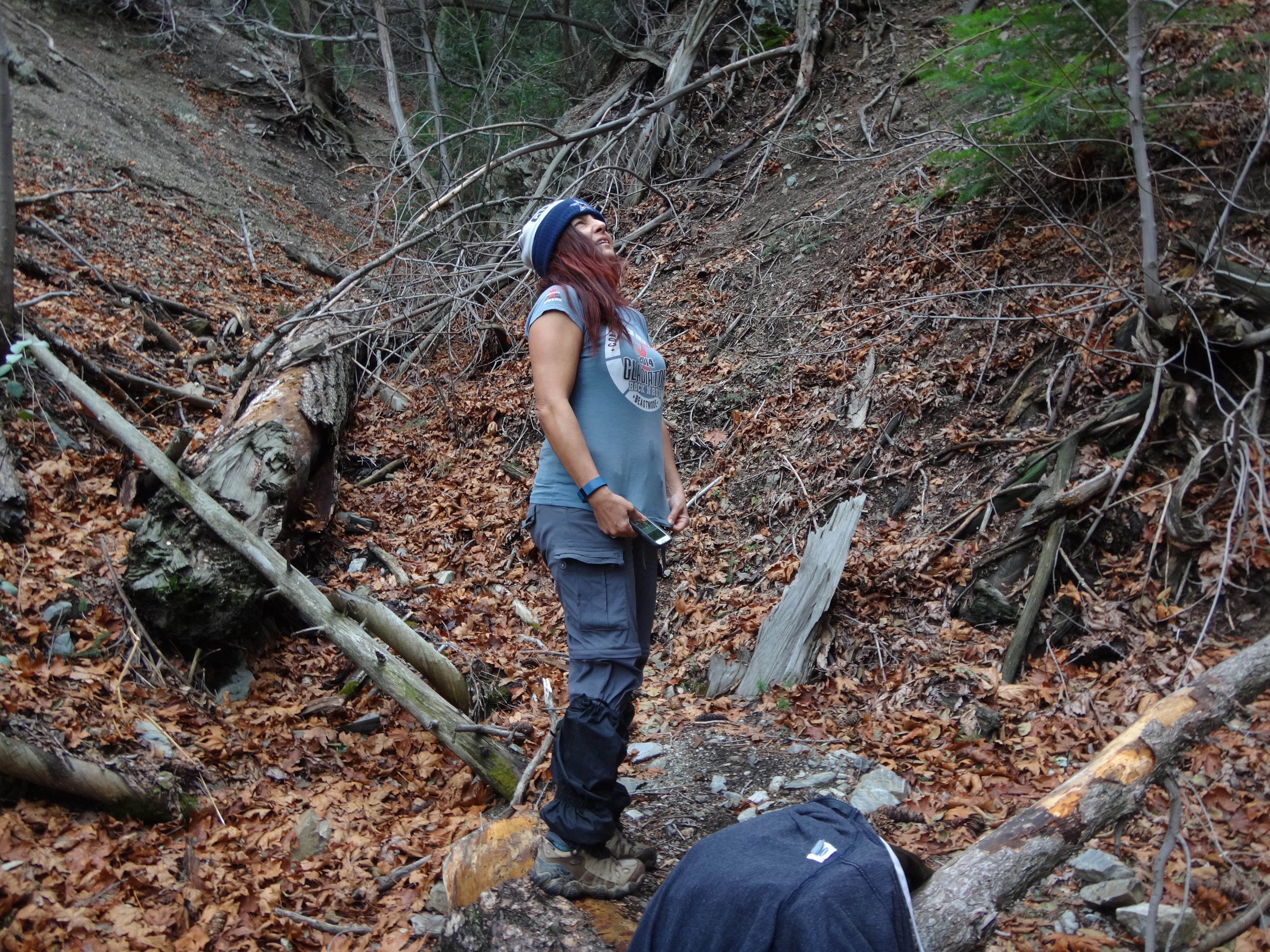
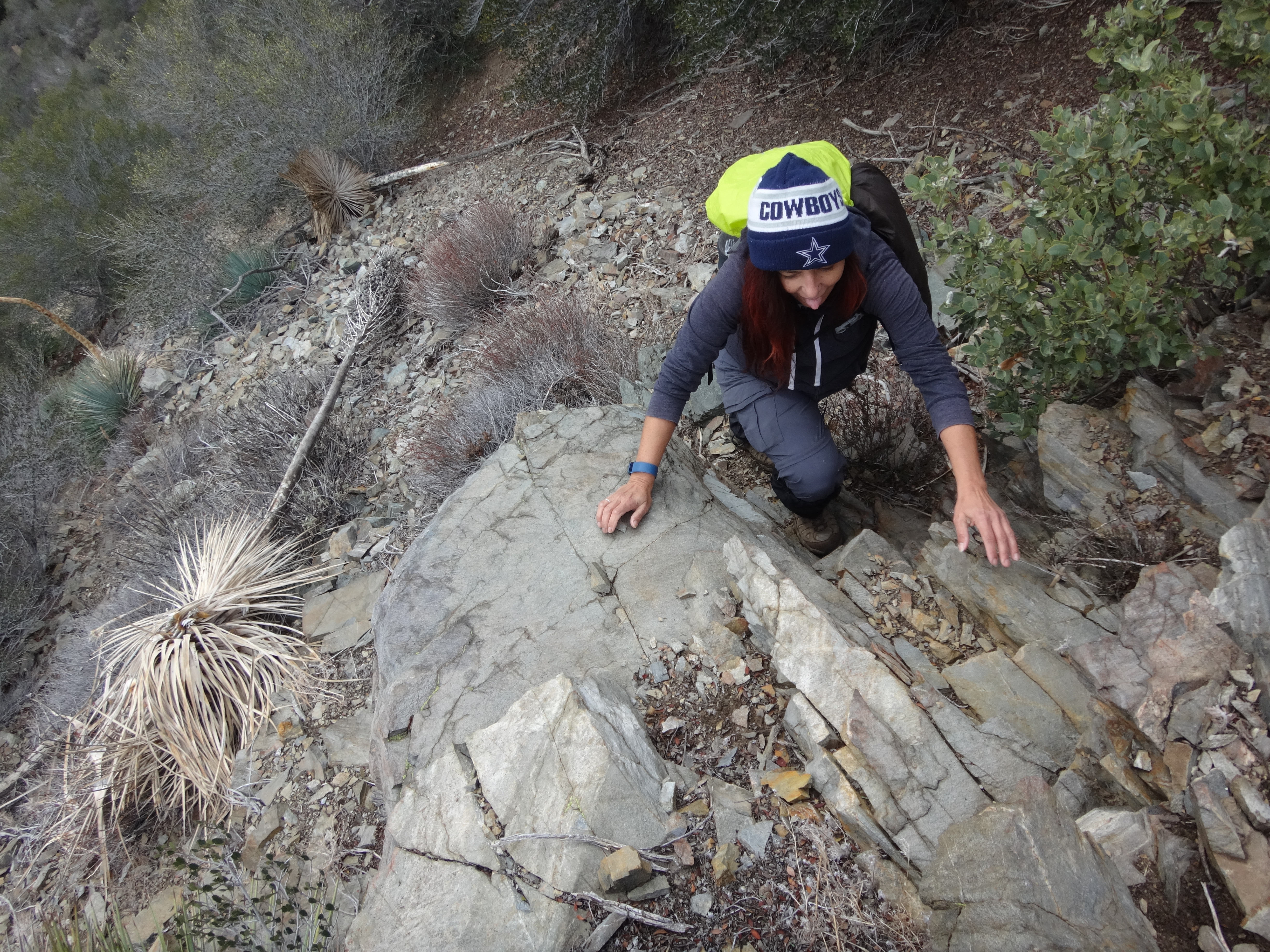
Immediately after the split there is a 6-foot waterfall obstacle. I moved a couple boulders to aid in climbing the wall, which had a small flow of water to avoid. Above the fall we encountered increasing quantities of vines and ferns.
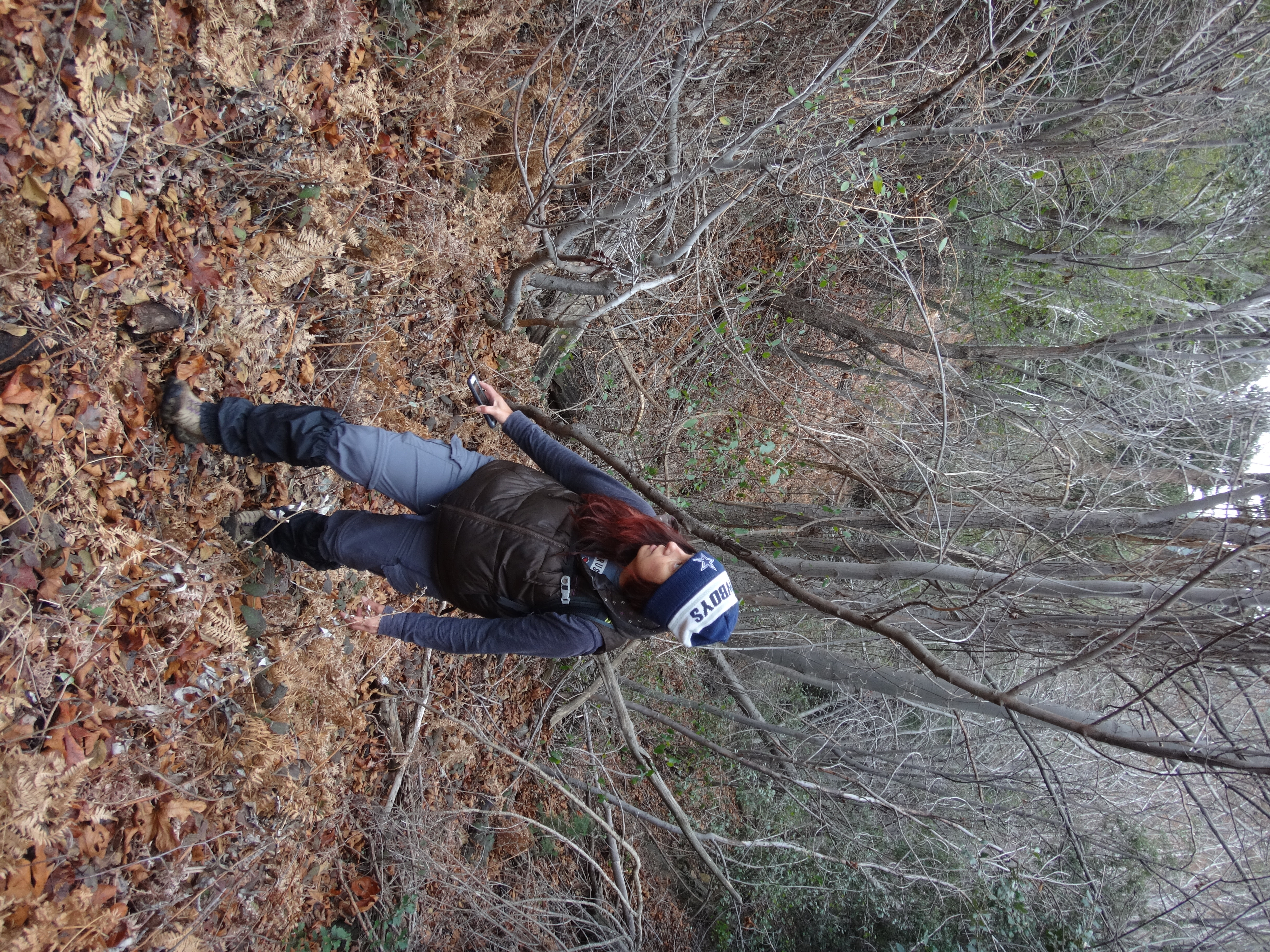
The vegetation density slowed us down considerably. Also, it started raining off and on. So I decided to abandon the gully and start up the slopes.
We slowly and carefully switchbacked up some pretty steep stuff on the southeast side of Chalk.
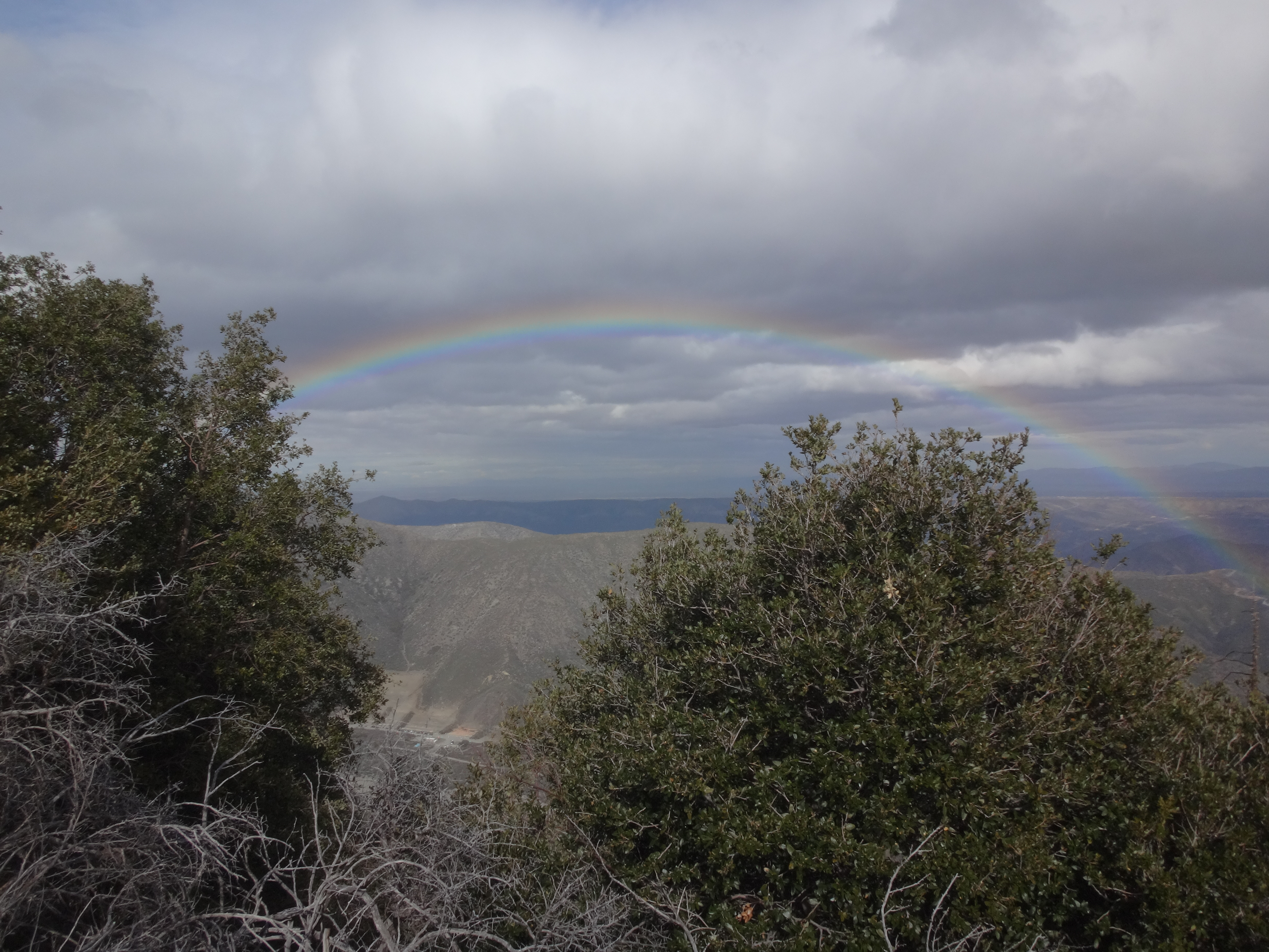
Eventually we hit the east ridge, just in time to witness a magnificent rainbow over the Cajon Pass.
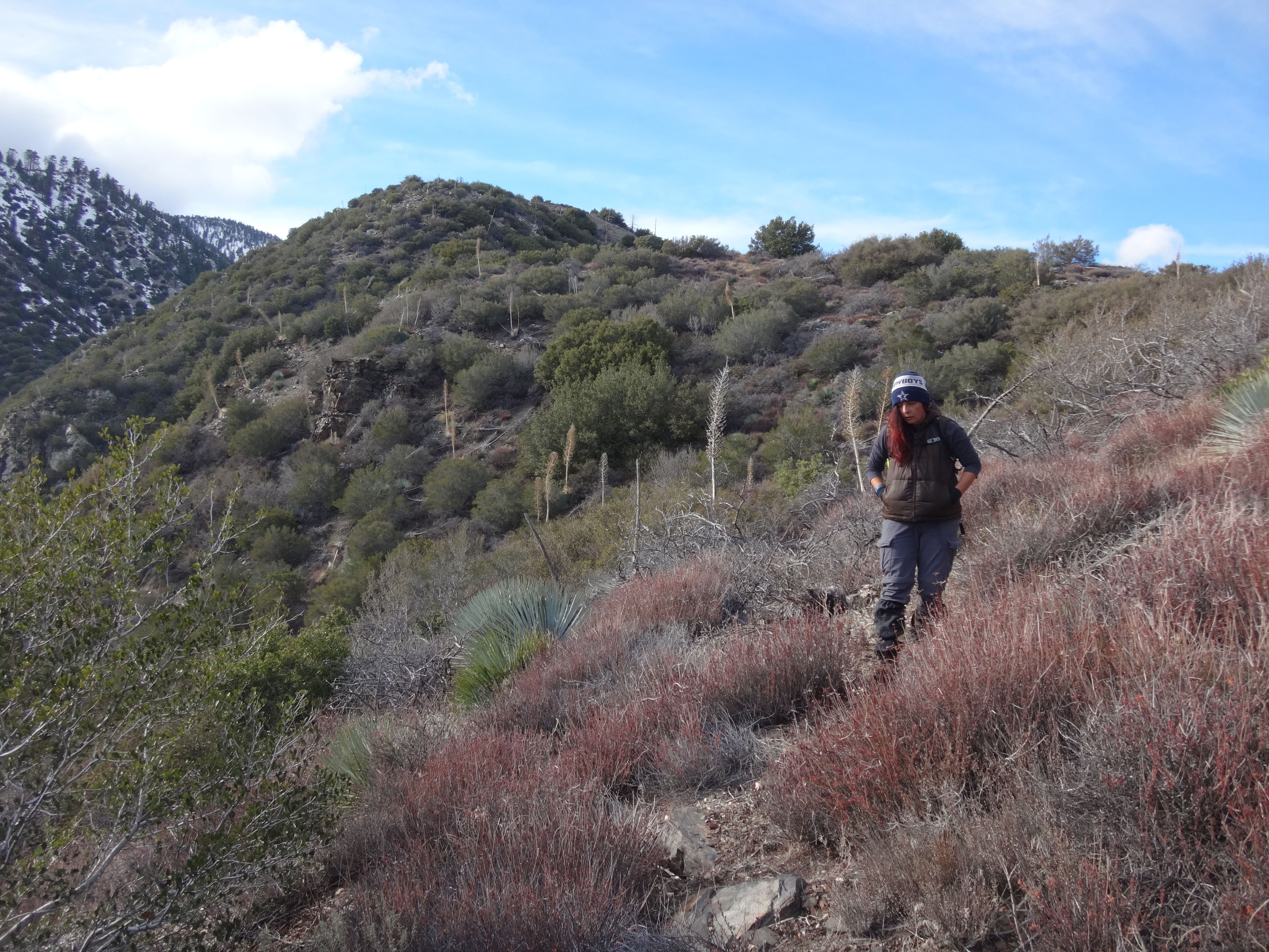
On the ridge there was still another quarter-mile to the summit. We had to skirt the ridgetop a couple times to avoid dense thorns. In some places we simply pushed through it.
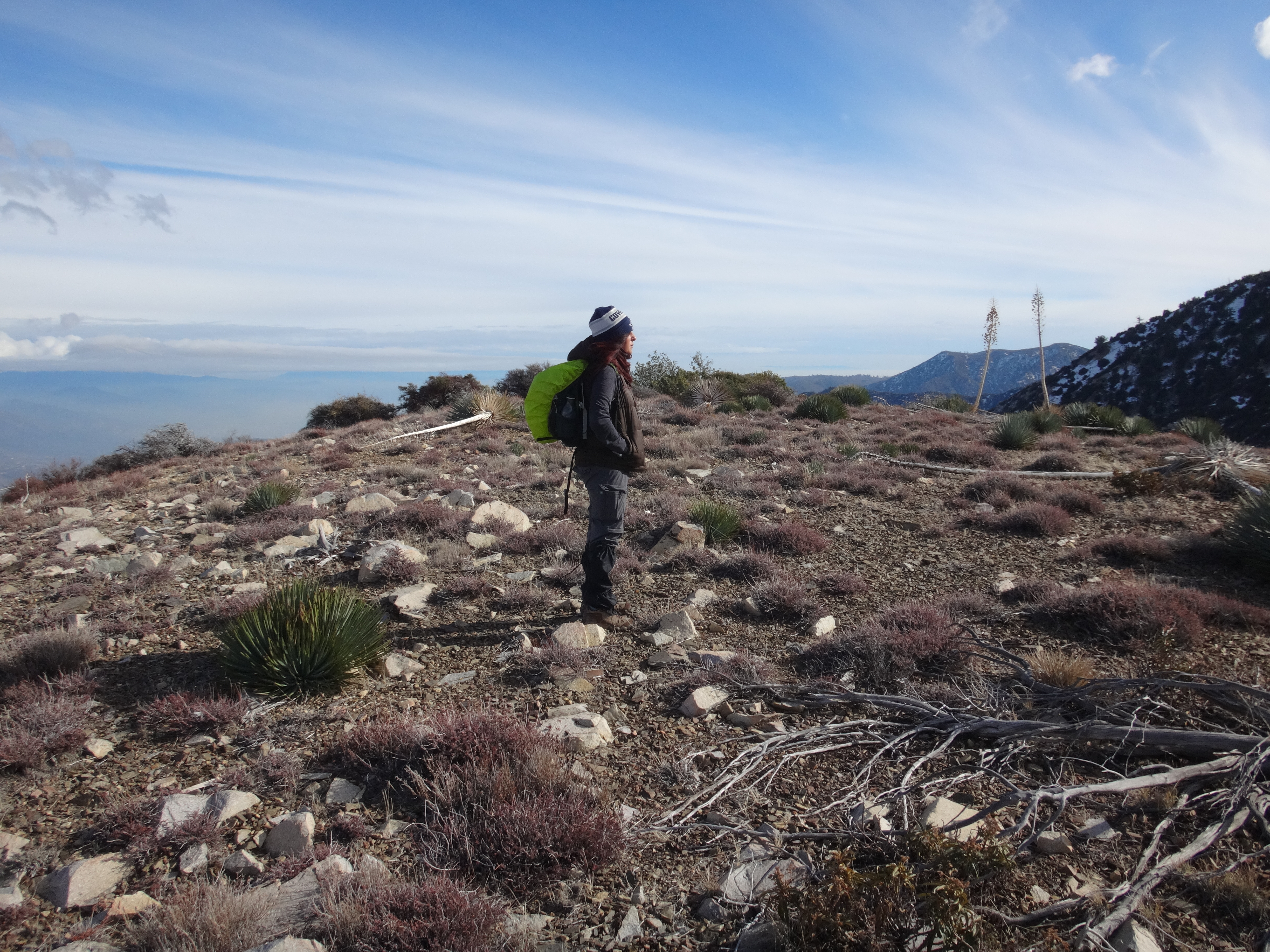
Around 2pm we finally reached the top, a modest, flat peak with plenty of space to relax for a half hour or so.
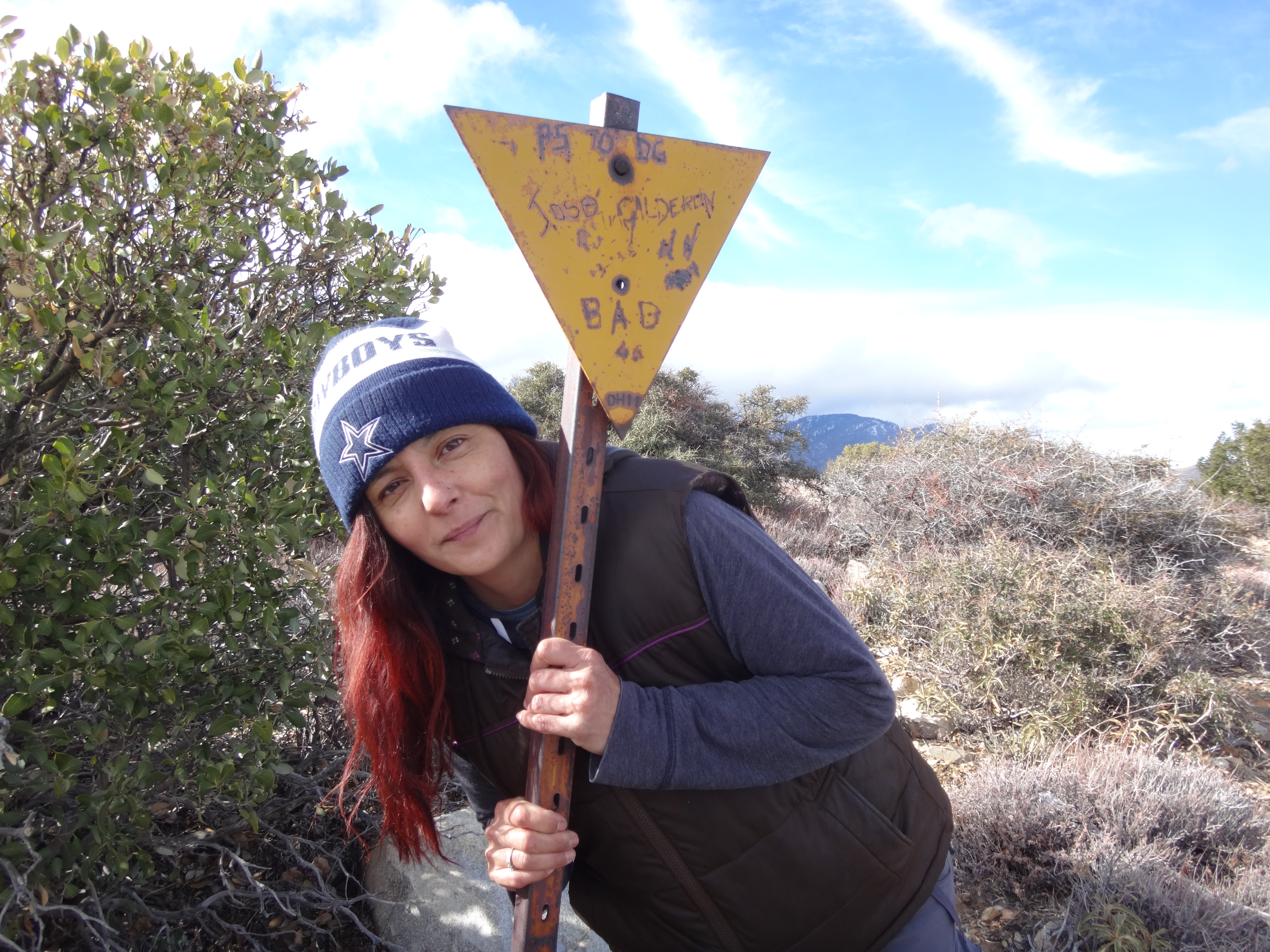
There was a post,
an empty register can,
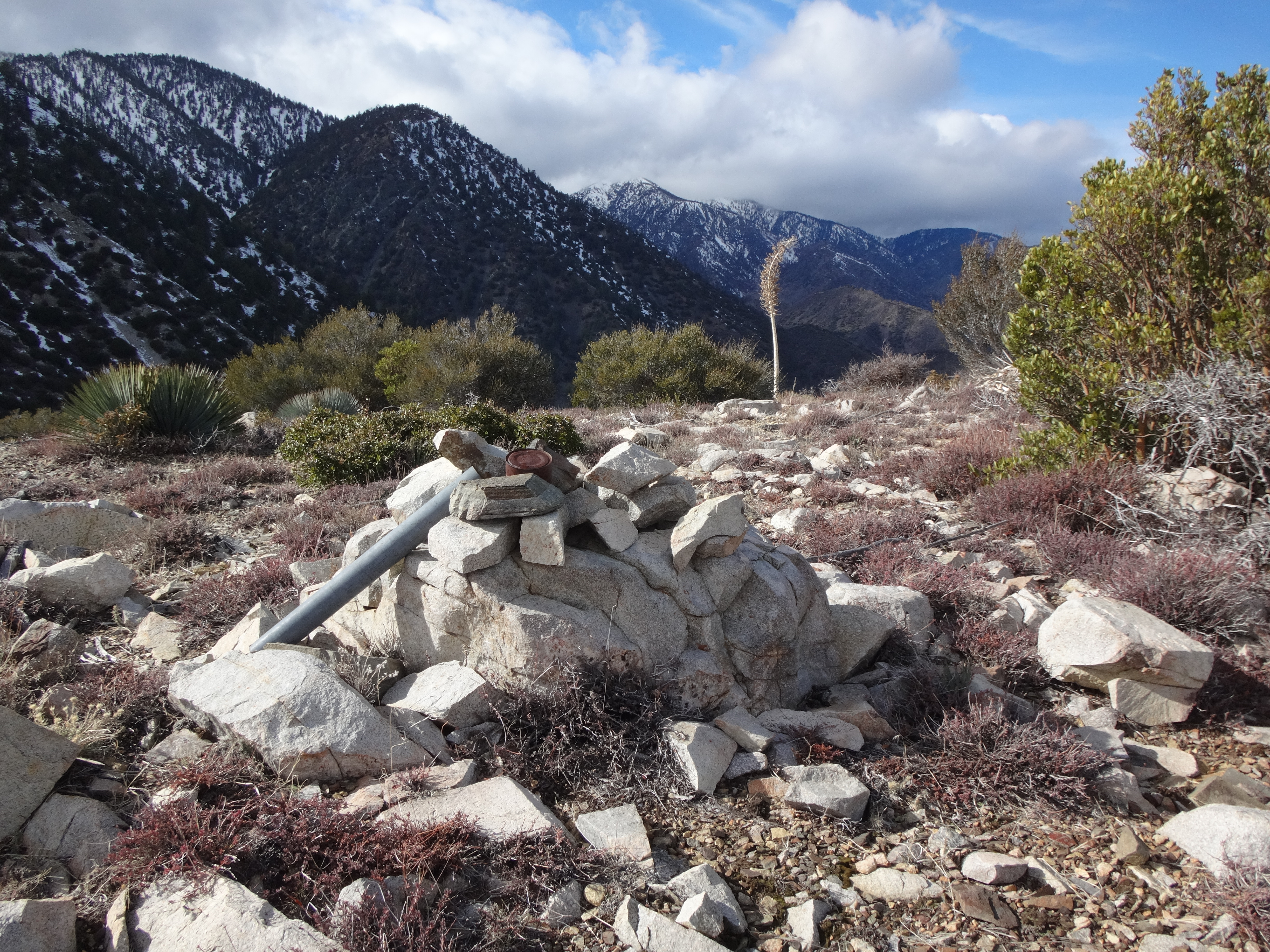
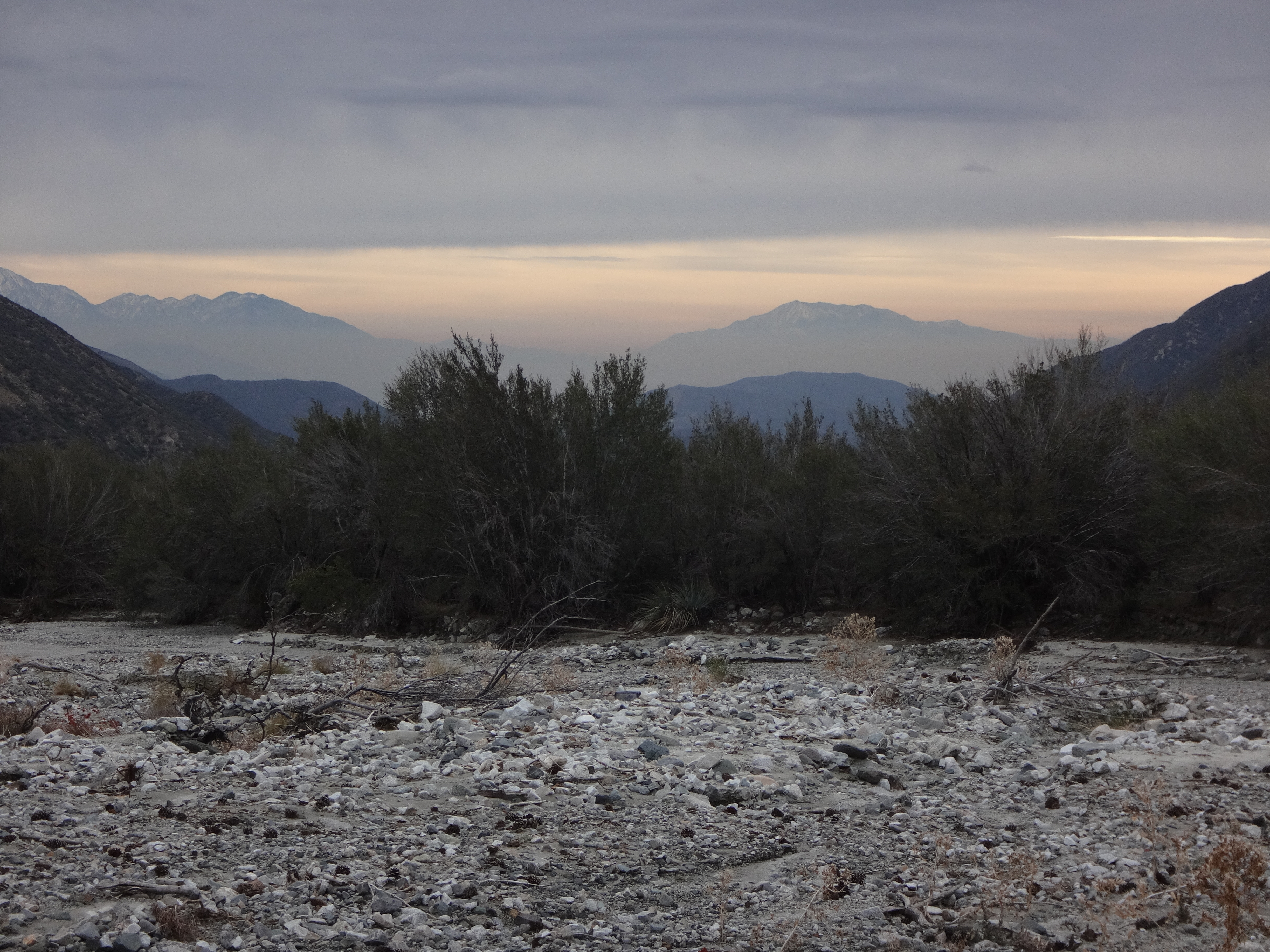
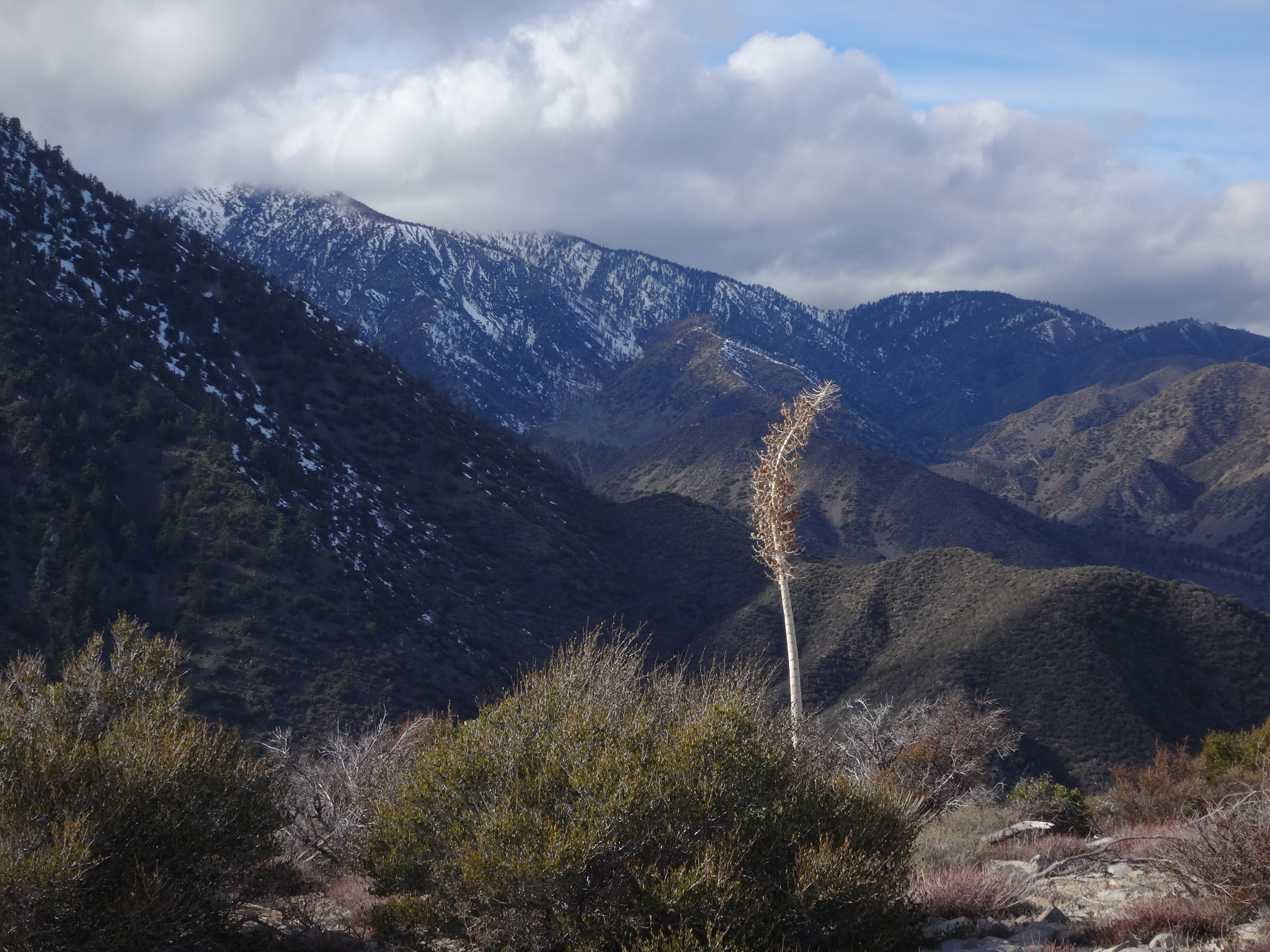
and a distant view of the cloud-topped North Backbone and Upper North Fork of Lytle Creek.
I had stupidly forgotten the turkey sandwich, so we lunched on fruit and nuts. By 2:30pm it was time to head down.
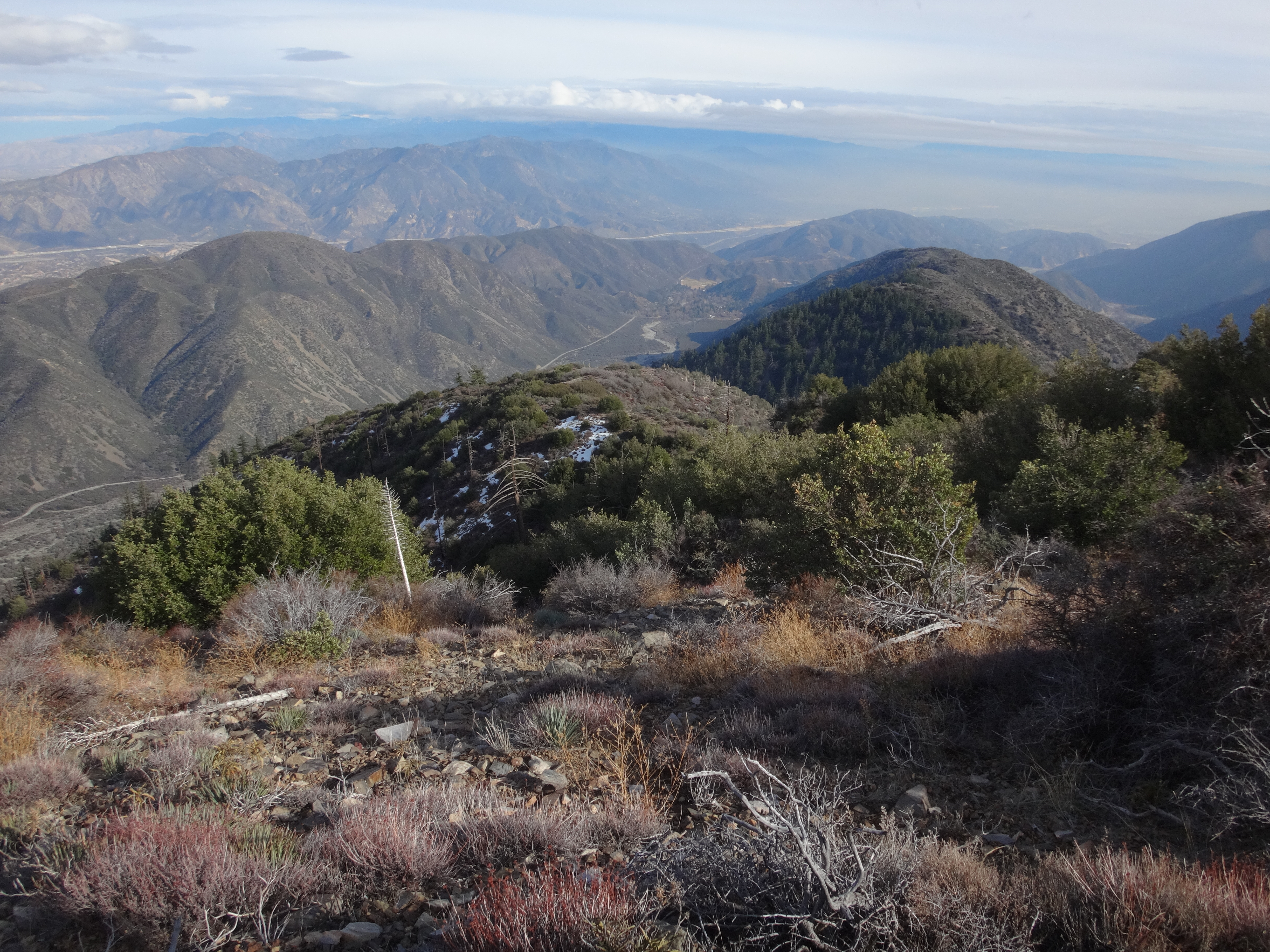
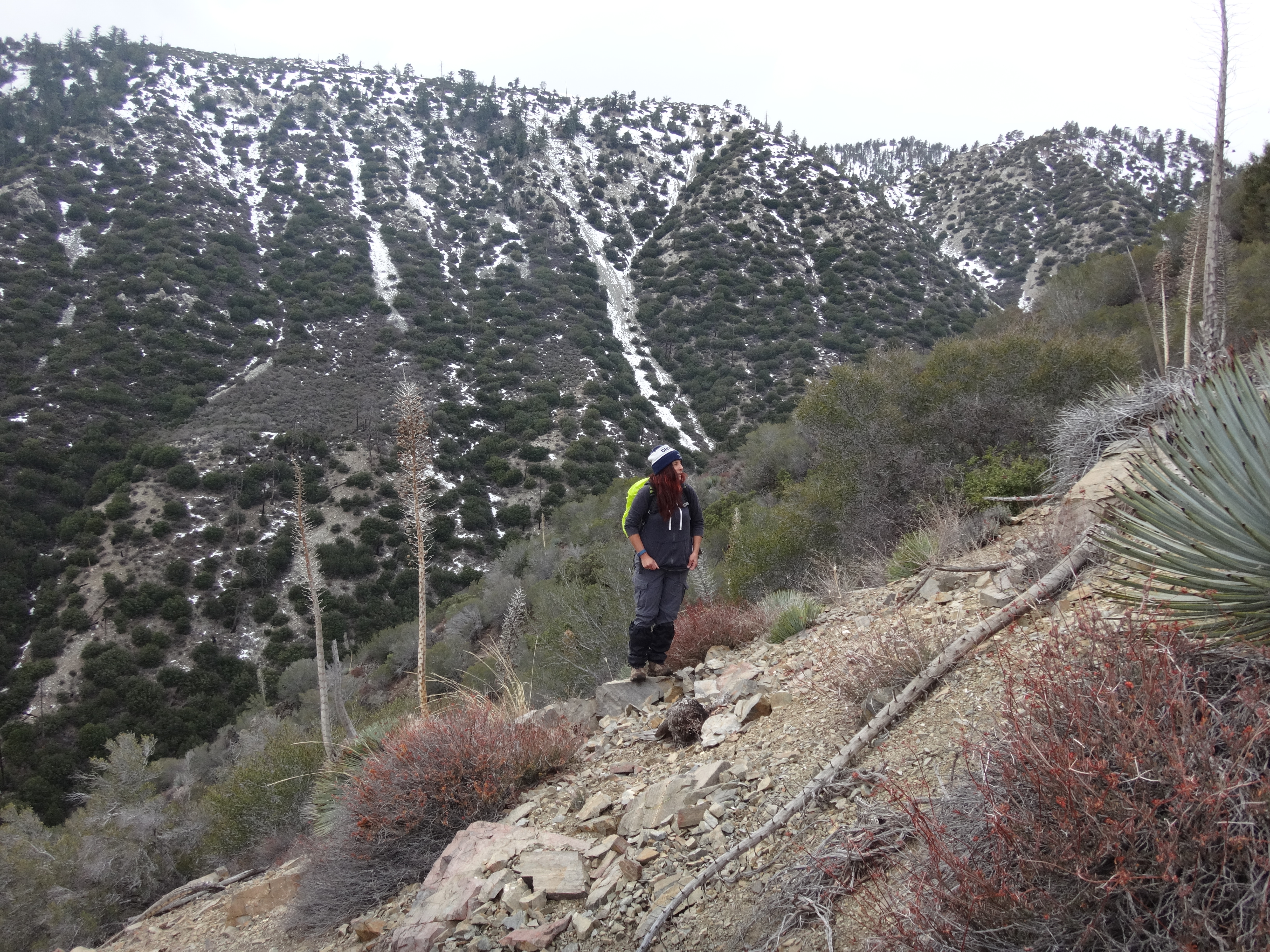
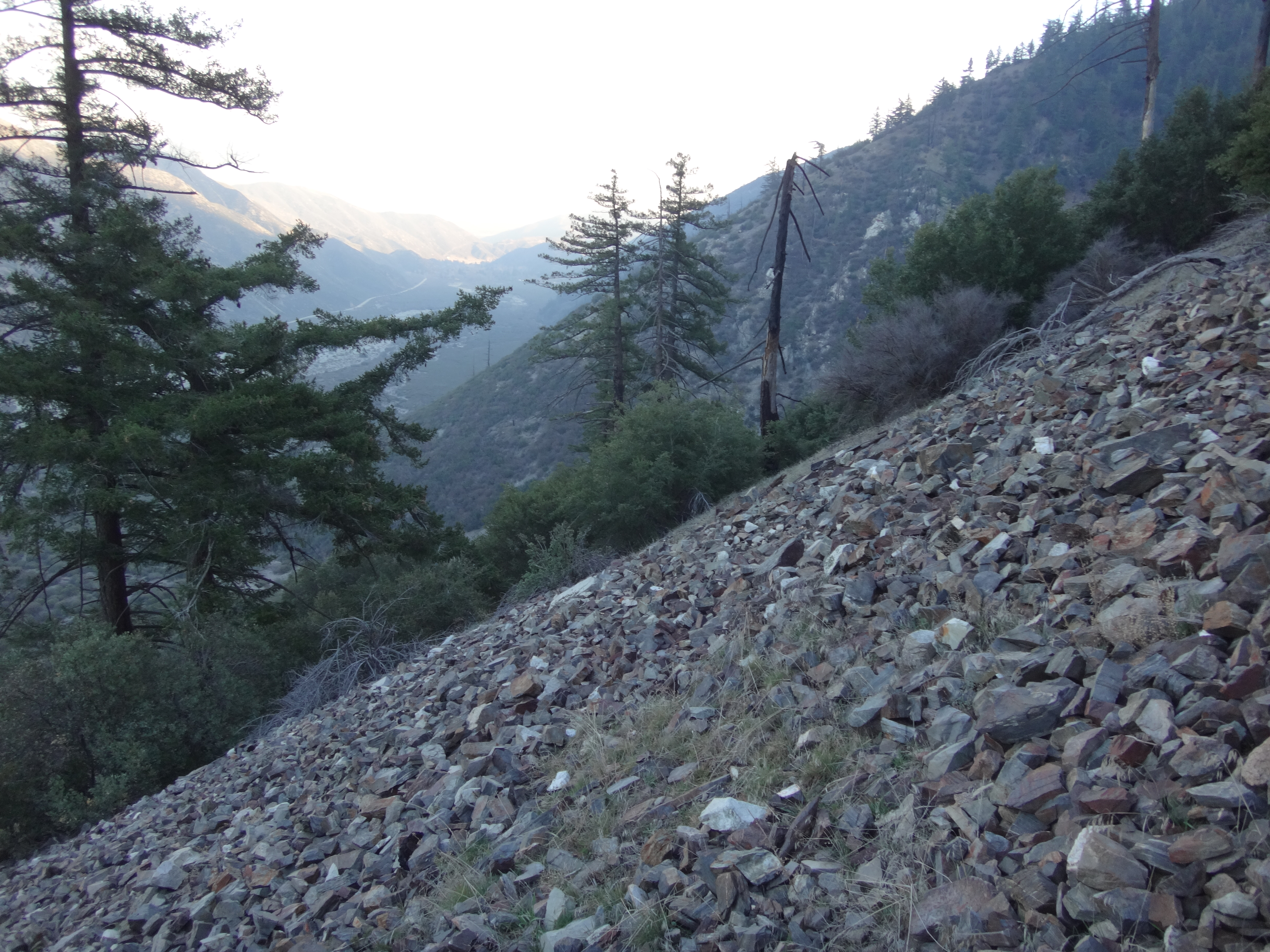
Rather than returning the way we came through the canyon, we decided to follow the east ridge and slopes. When the ridge disappeared into radical scree slopes, the descent became a bit dangerous. We had to take care while constantly stumbling through moving fields of boulders that weren't small enough to surf or large enough to hop.
We took our share of twists, bumps, and falls before reaching the bottom, where we recrossed the North Fork wash and were glad to make it back to the car by 5pm. Looking back, an eerie fog had consumed the mountaintop.