Stockton Flat to North Fork Lytle Creek Tributary

TRs for the San Gabriel Mountains.
Post Reply
User avatar
Sean
Cucamonga
Posts: 3782
Joined: Wed Jul 27, 2011 12:32 pm

Post by Sean »

The weatherwomen on TV were saying that the snow level would be 6000 feet for Monday's storm, and Willie and I wanted to see some of the white stuff. So yesterday we endured the horrible road to Stockton Flat and by 10am started hiking up the canyon which ultimately tops out between Baldy and Dawson.

Image

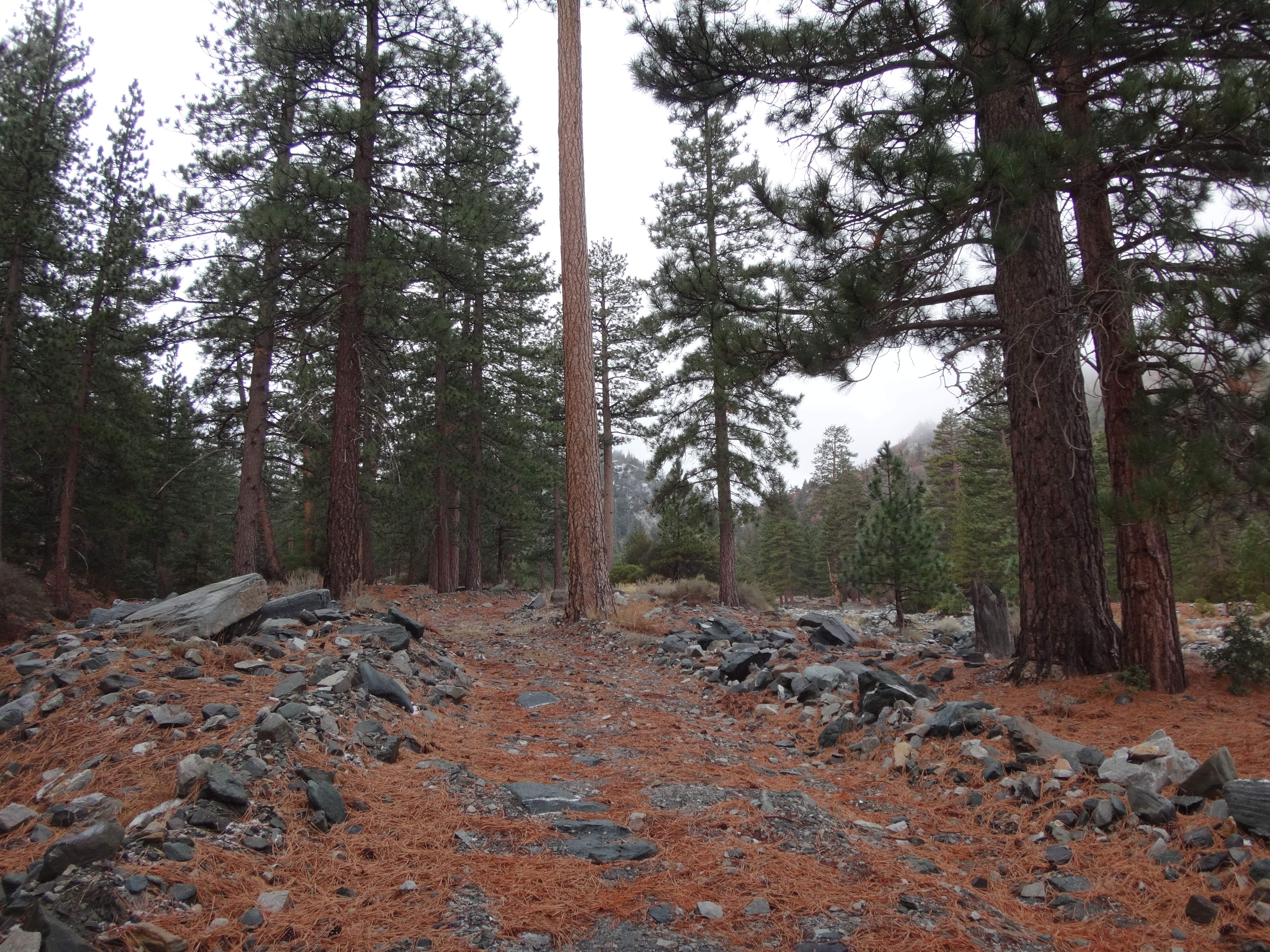
On several maps the road (3N06) continues past the junction with the Baldy Notch Road and heads up along the left bank of our unnamed tributary. If anyone knows the name of this branch, I'm all ears.

Image

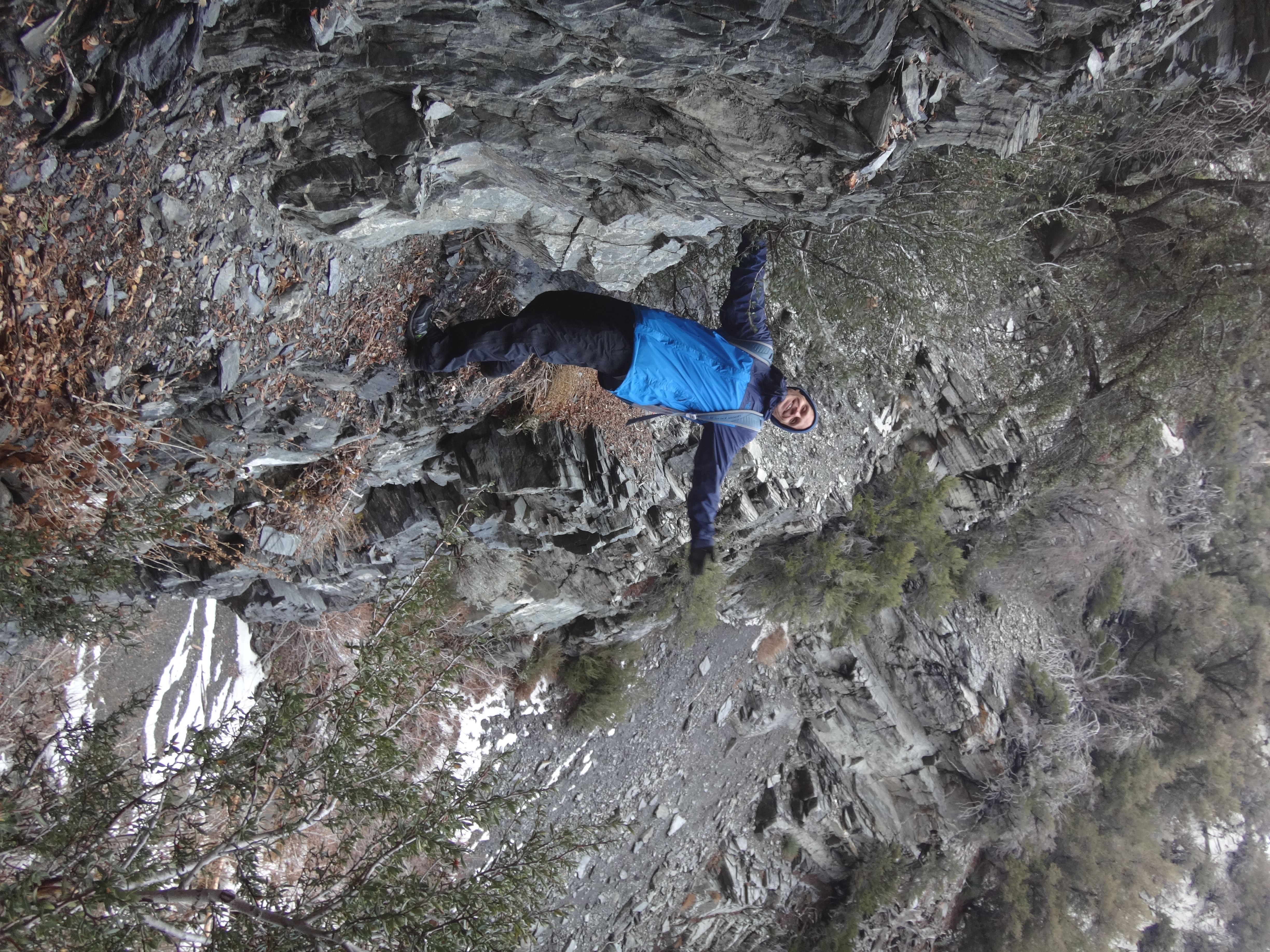
A half mile beyond the junction the wash forks left and right. We turned right to stay on course, but by now there was little evidence of an old road.

Image

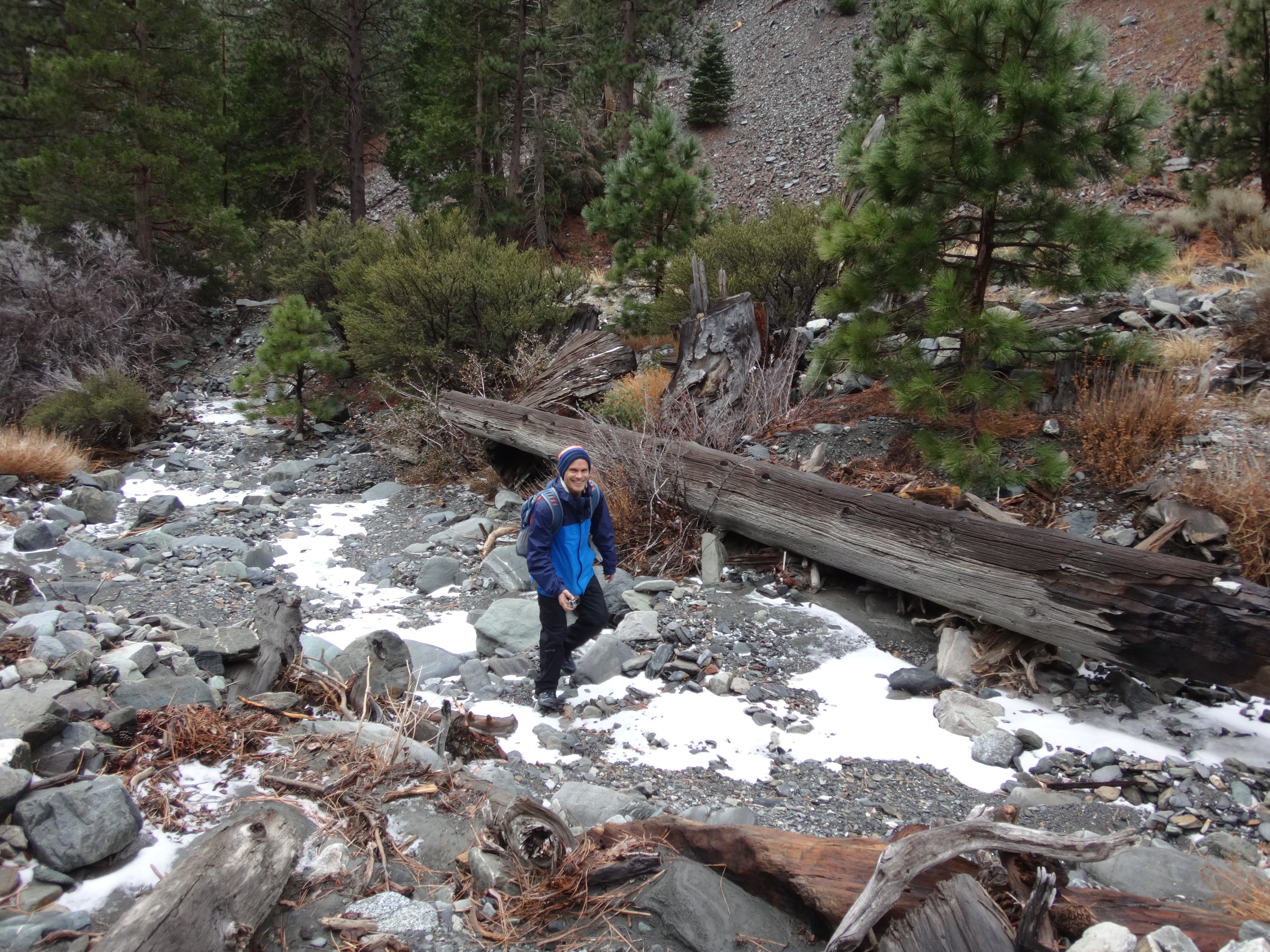
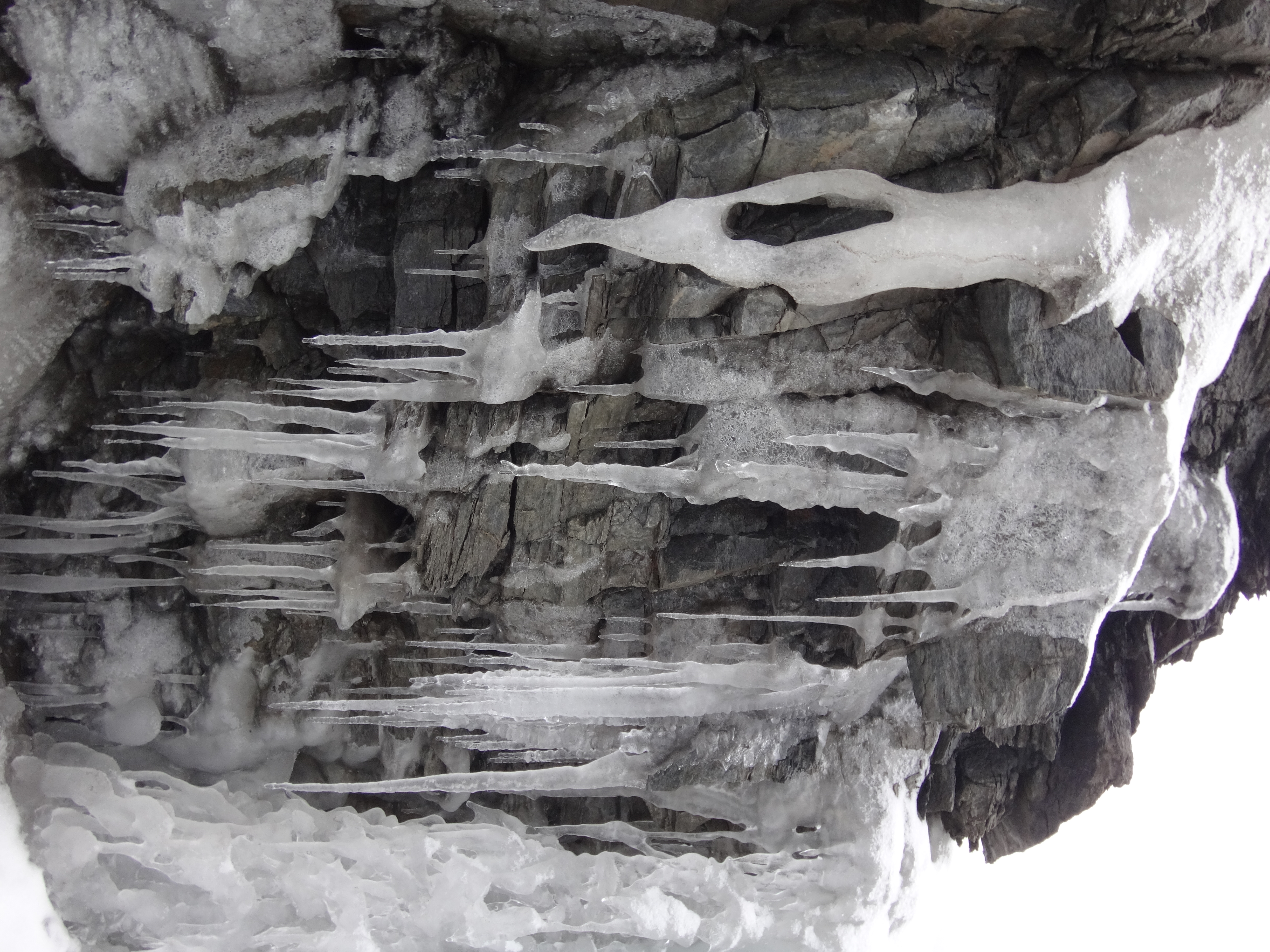
Soon we encountered high, rocky canyon walls and a frozen stream.

Image

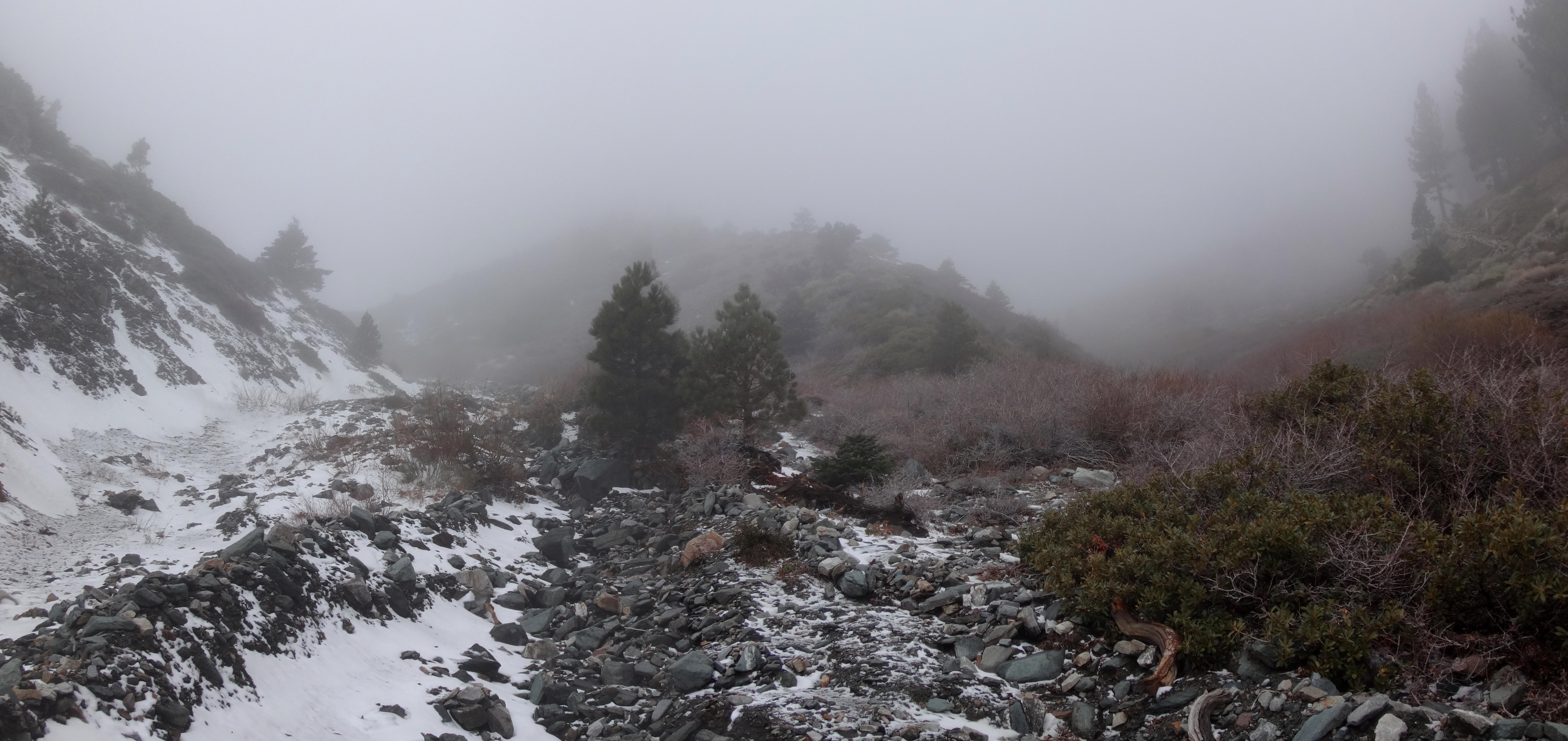
It was not snowing, and the temperature was probably in the upper 30s or low 40s. Occasionally the fog rolled in a bit thick, dropping visibility to a hundred feet or so. As we climbed, the stream took shape and often flowed underneath a layer of ice.

Image

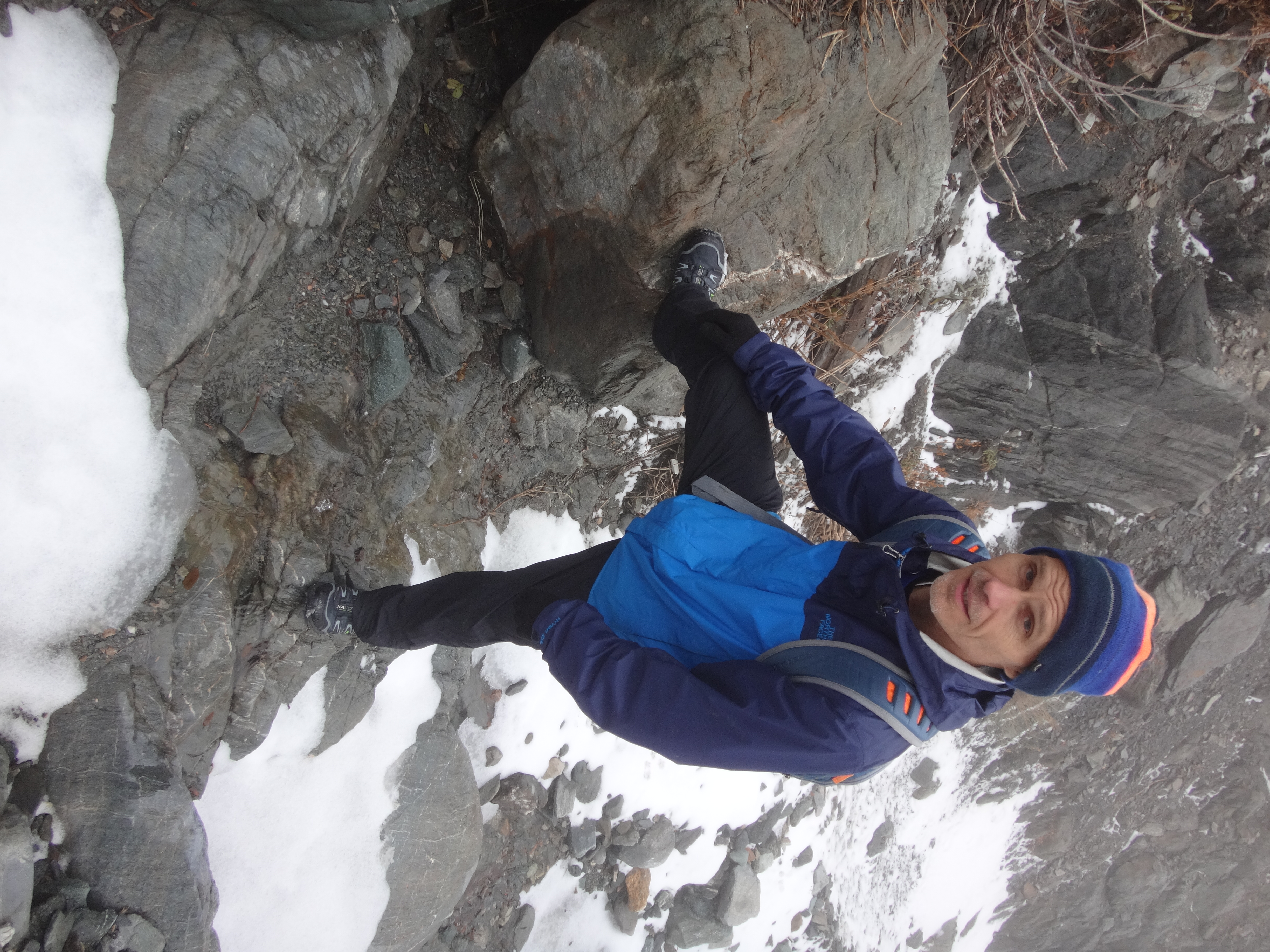
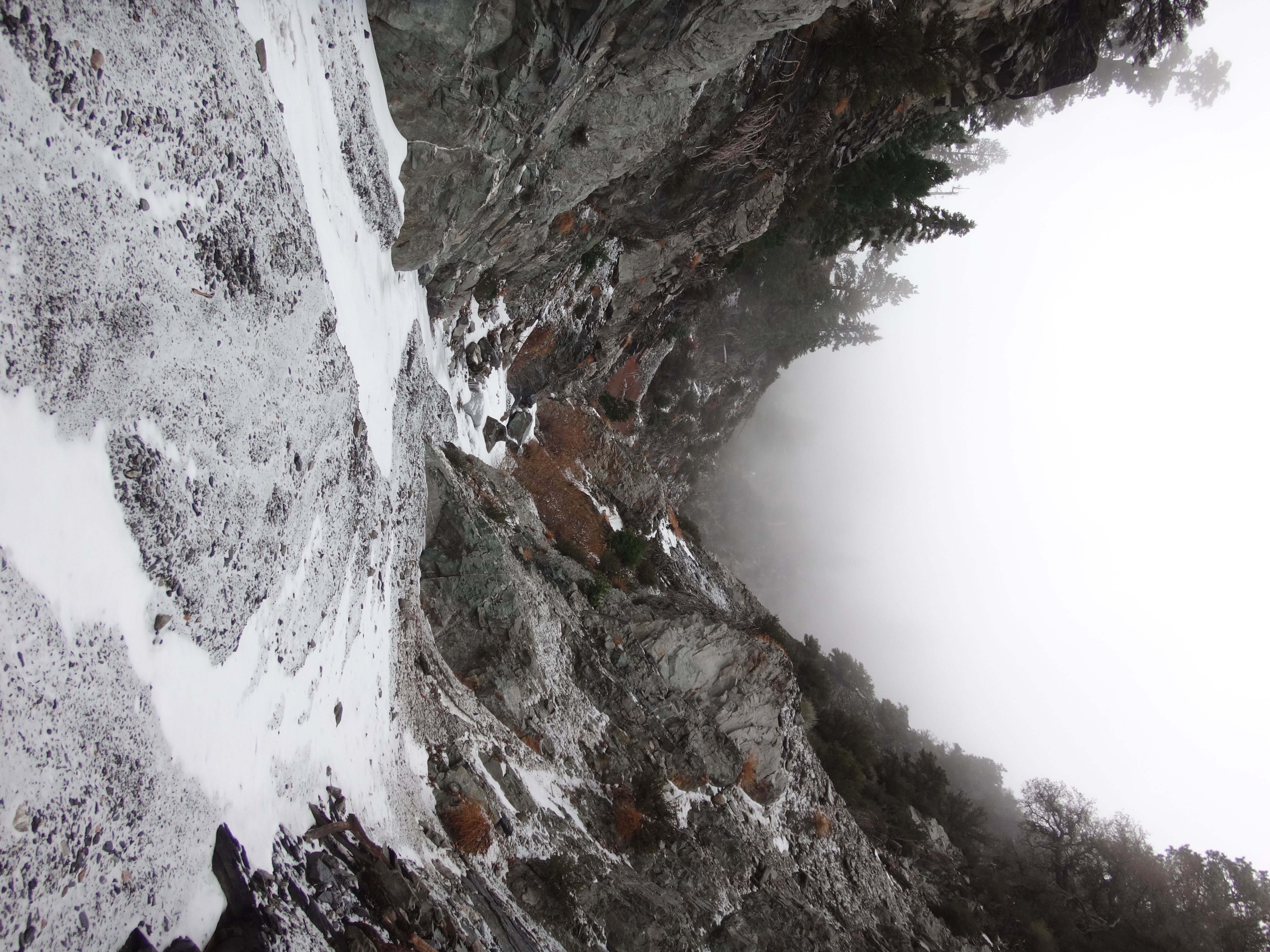
We climbed around a few frozen waterfalls. Some of the scrambling was class 3.

Image

Image

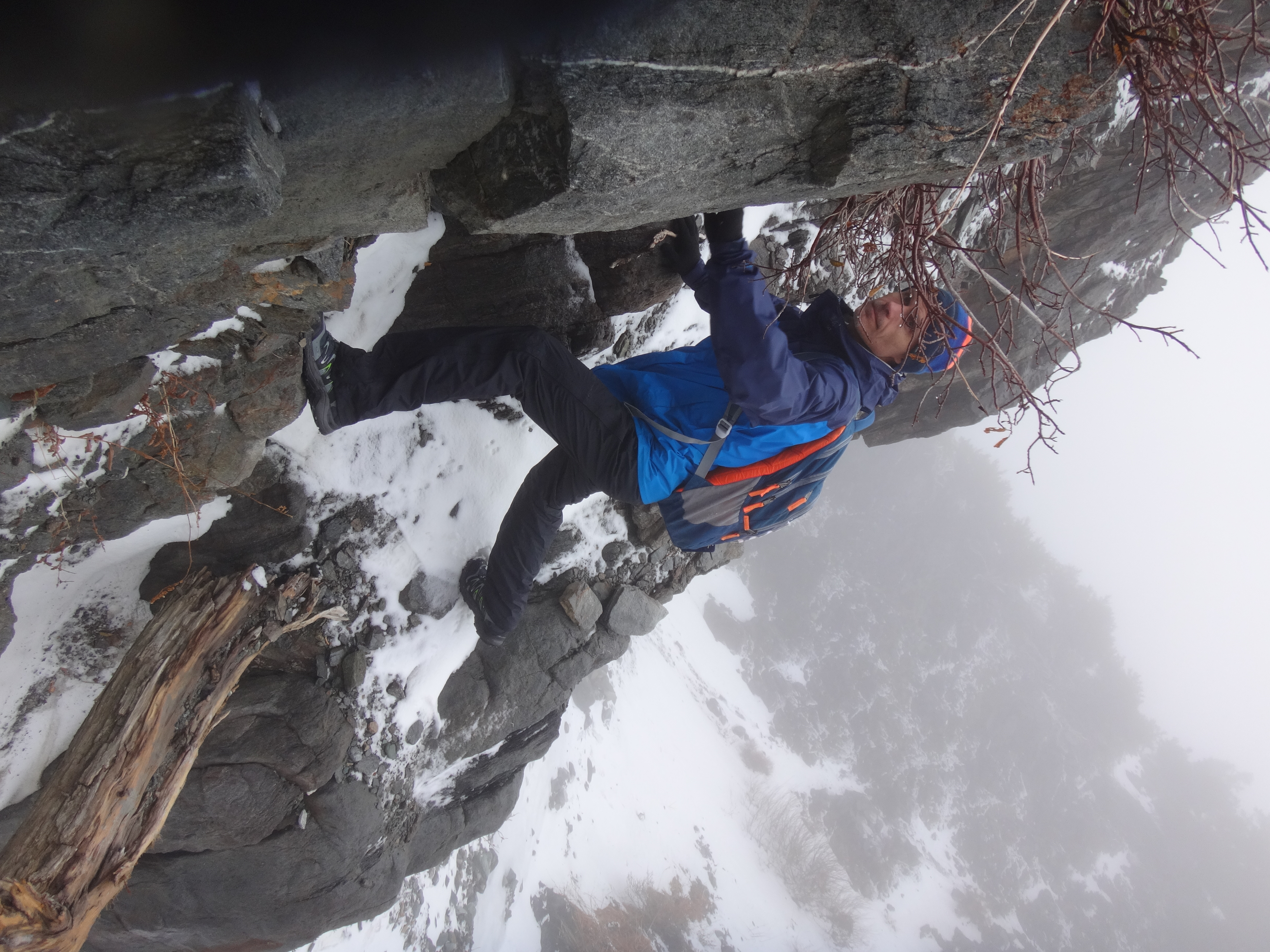
The toughest waterfall obstacle could be bypassed along one of those crumbling ledges for which the Gabes are famous.

Image

Our turnaround time was 1pm. We made it to an elevation of 8000 feet, where several gullies, including the main one, ran off to the left toward the mean upper slants between Baldy and Harwood, while the route to Dawson peeled off to the right.

Image

Here we ate lunch and enjoyed the wintery surroundings.

Image

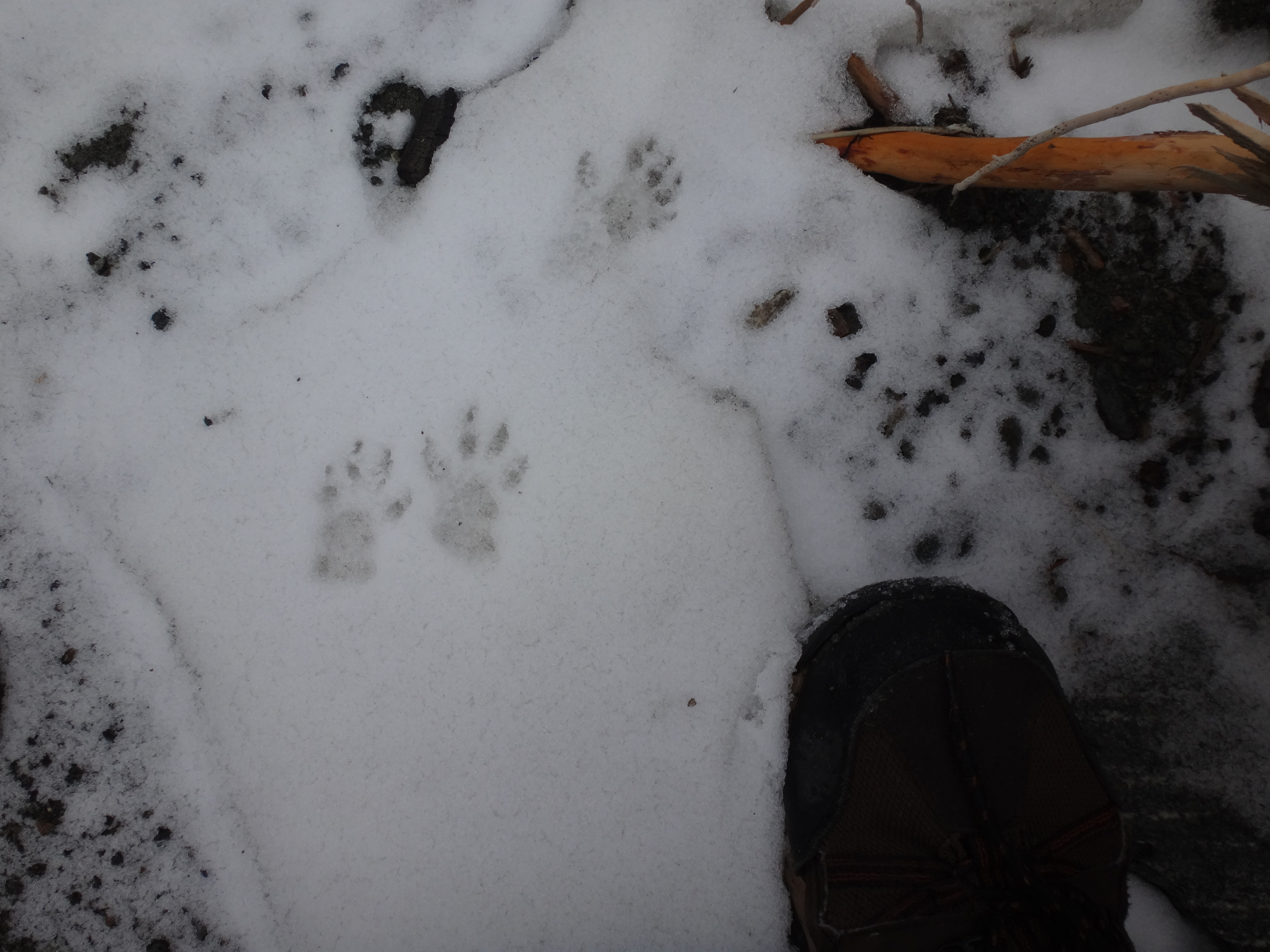
We entertained ourselves by guessing which kind of animal had passed through the canyon before us.

Image

Then we marched back to the car, passing another pair of explorers somewhere above the Baldy Road junction. But apart from those two we had the place all to ourselves the entire day, which is not surprising considering the sorry state of the fire road.
User avatar
Uncle Rico
Posts: 1402
Joined: Thu Mar 20, 2008 7:48 pm

Post by Uncle Rico »

Looks fun. I assume you need either 4-wheel drive and/or high clearance to get out to Stockton?
User avatar
Sean
Cucamonga
Posts: 3782
Joined: Wed Jul 27, 2011 12:32 pm

Post by Sean »

I think a 2-wheel, low-clearance car could make it to the creek crossing (3N33 junction). That stretch is really rough, but the first real problem is the creek crossing, where the road is half gone. There is a gate here. If you park, it's about a 1.5-mile walk to Stockton Flat, and another half mile to the Baldy Road gate.

My Honda Pilot made it across the dry creekbed without scraping anything. But at Stockton Flat there was another especially bad section, which I did not attempt, but probably could have worked it out. We decided to play it safe, park around the flat, and walk the rest of the road.

On the hike back, there was a truck parked at the Baldy Road gate.
User avatar
zZClintEastwoodZz
Posts: 9
Joined: Fri Oct 02, 2015 4:14 pm

Post by zZClintEastwoodZz »

nice trip report!! I was scoping those bottom canyons out last time i was up there..... i guess ill have to go back soon :)
Post Reply