
Stats as tracked by my GPS:
Dawson Peak, Pine Mt. and Mt. Baldy via N. Backbone || Distance: 13 mi || Duration: ~9 hours || Gain/Loss: ±6,000′ || Net Elevation Gain (at Max Elevation): +2,040′ || Max Elevation: 10,068′ || Difficulty: Strenuous
Here is a link to the full trip report and photos:
Dawson Peak, Pine Mt. and Mt. Baldy via N. Backbone, 10/11/15
and some highlights:
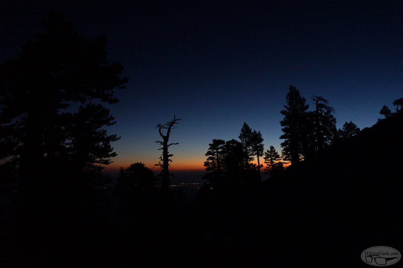
A few minutes before sunrise, near the summit of Pine
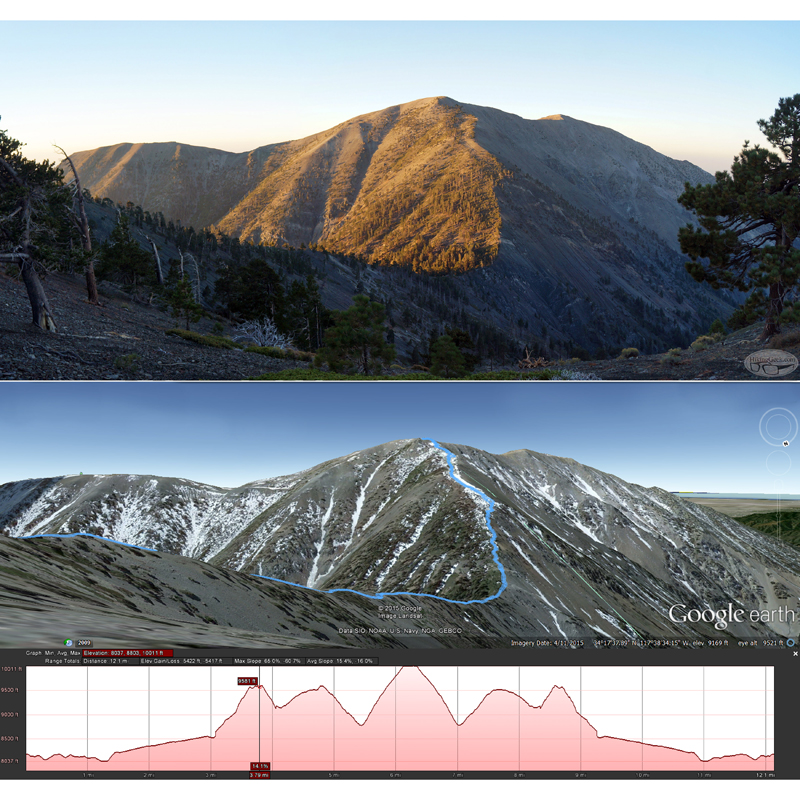
The moment I realize where the trail was
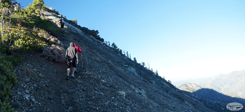
The climb up from Baldy-Dawson Saddle
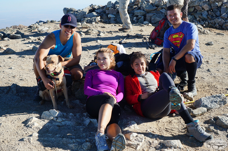
On the summit
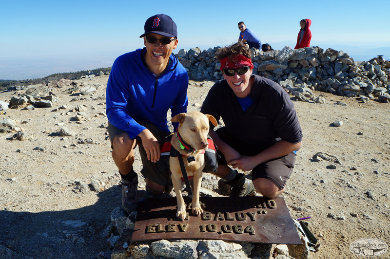
Photo op with a SnackingBear
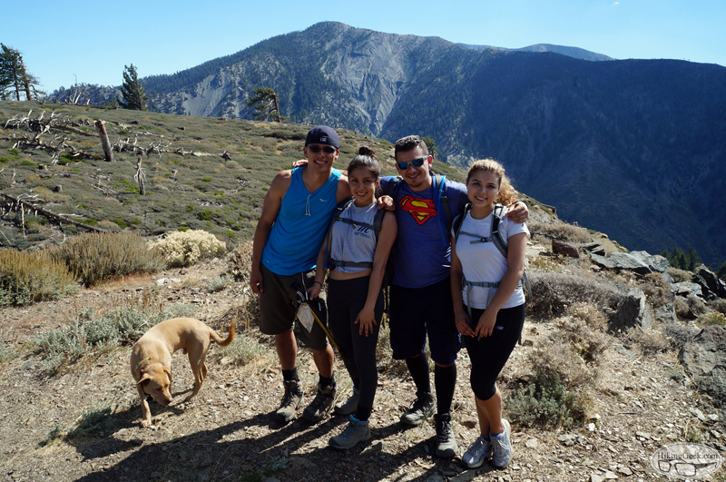
Back at the trailhead. Pine Mt in the large mountain behind us, Baldy or West Baldy can be seen in the distance (SB will know which one it is)
