4 years in the making, I finally found myself on the summit of Mt. Langley.
Day 2 - Other than getting on wrong use trail around lake 4, the trip to the summit essentially went as planned.
After returning to camp, seemingly took forever! We discussed the difficulty of this hike vs. the Mt. Whitney Main Trail. We both seemed to think that this route up Langley is just as difficult due to the steepness of the last couple of miles to the summit.
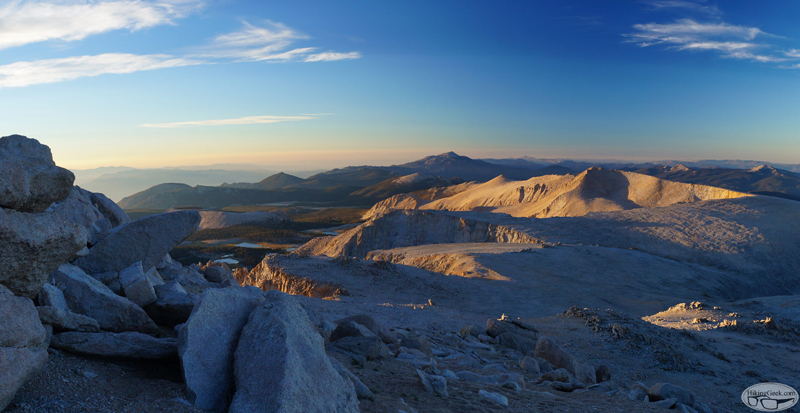
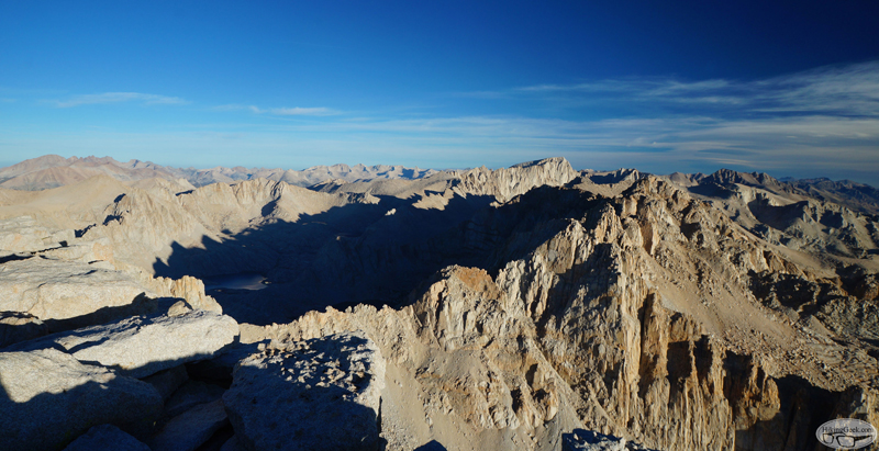
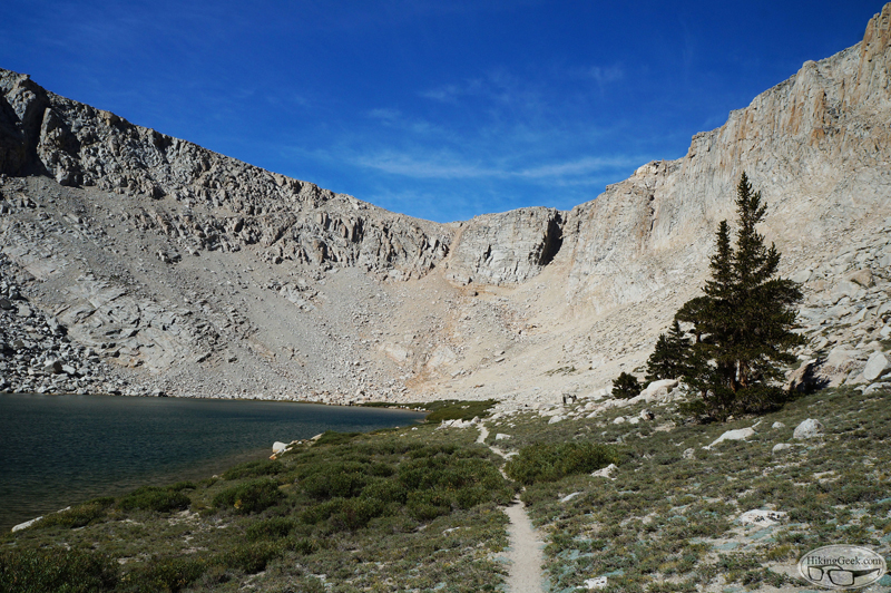
Great photos, love that early morning light for photography and I love the moonscape that is below Langley.
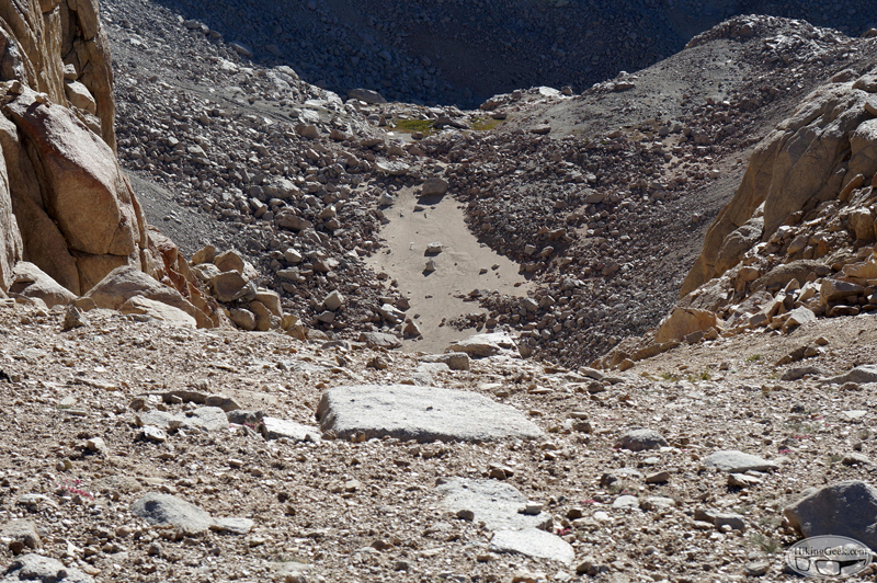
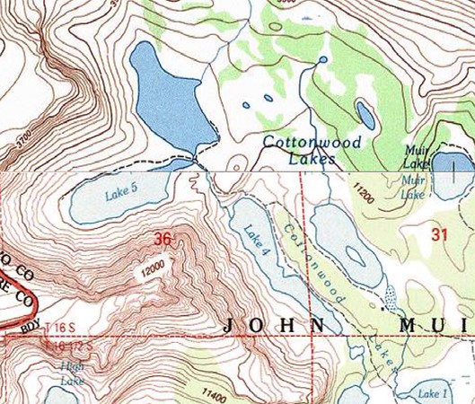
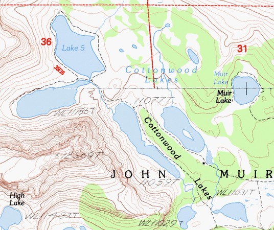
One note: the sandy dry lake you captioned Lake 6 is actually above Lake 6, Lake 6 has plenty of water, is quite beautiful and is down and around the corner from the subject of your photo. We use that chute from the sand to get to Langley, saves a few miles and avoids the crowds. I don't think that is what they call Navy Pass, I think Navy Pass is the next one over towards Army Pass, but since it is an unofficial and informal name who knows?
HikingGeek, I believe my wife and I passed you as you were descending from Langley. We were up-bound, perhaps 0.5mi beyond Old Army Pass, still below the start of the cairns. You described the two major ascent routes for us, which proved helpful. Thanks!
Was nice to meet you, even if I didn't know who you were at the time.
You have some really beautiful photos there. Thank you. The lakes are numbered differently on different maps. It seems to depend on which map you are looking at.
turtle wrote: HikingGeek, I believe my wife and I passed you as you were descending from Langley. We were up-bound, perhaps 0.5mi beyond Old Army Pass, still below the start of the cairns. You described the two major ascent routes for us, which proved helpful. Thanks!
Was nice to meet you, even if I didn't know who you were at the time.
tekewin wrote: Great photos! Looks like the smoke was not too bad while you were there.
Thanks! To the north, (Kearsarge Pass I'd guess) it looked bad. I guess we got lucky!
RichardK wrote: You have some really beautiful photos there. Thank you. The lakes are numbered differently on different maps. It seems to depend on which map you are looking at.
Thanks! To add to the confusion, I looked a hand drawn map when I first started looking into hiking Langley.


