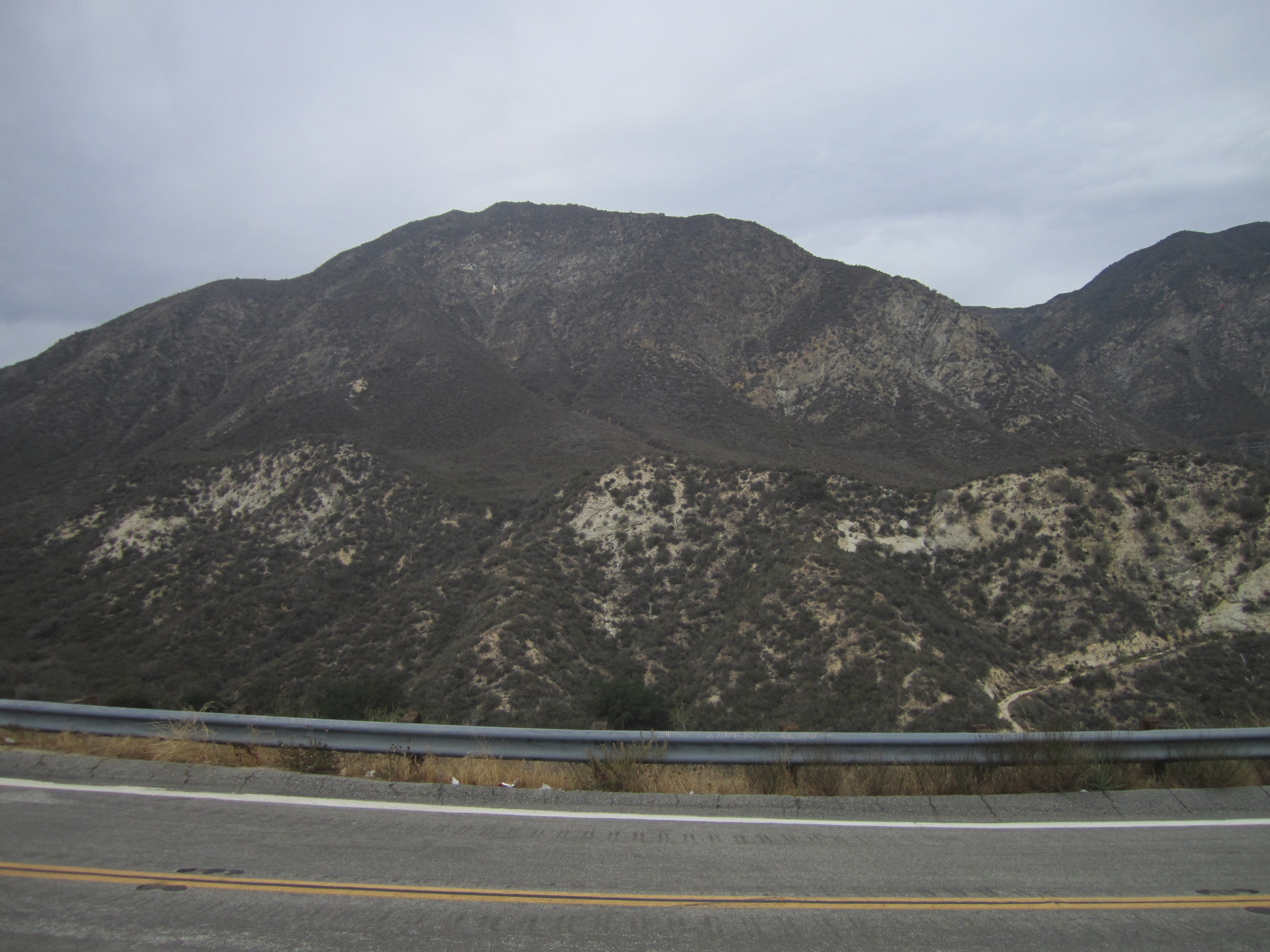
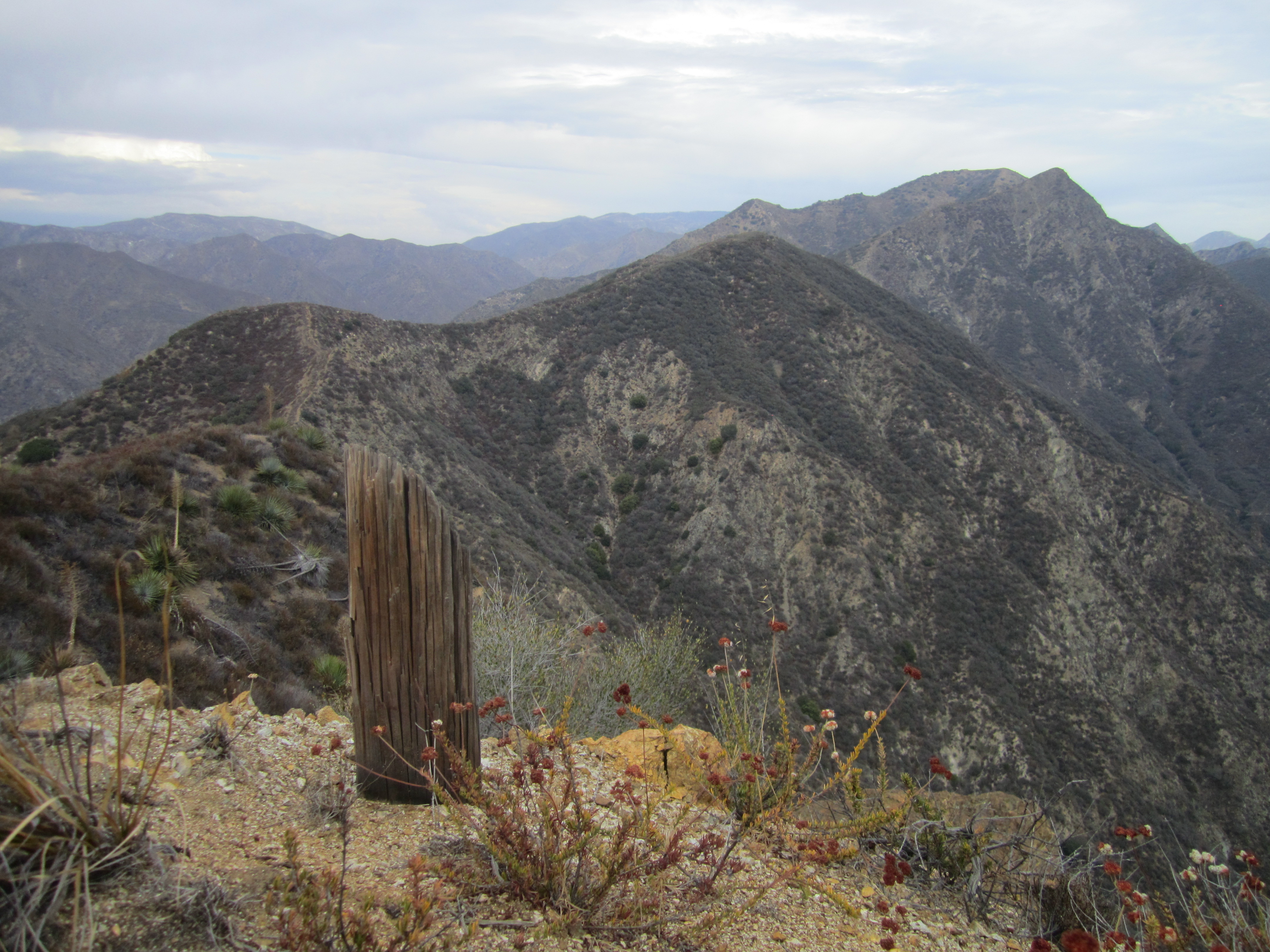
(The Pinnacle on the left, seen from Little Tujunga Road)
Yesterday I got a late start and decided to try something new, short, and possibly sweet. I had already done the long walk to Mendenhall Peak a while ago, and The Pinnacle has been in the back of my mind since then. So I decided to give it a go, having done no research other than looking at a topo map.
From Dillon Divide, I noticed some sort of use trail steeply progressing up a slope a hundred or so feet beyond the helipad.

I imagined this was the way to the west ridge of The Pinnacle and climbed aboard.
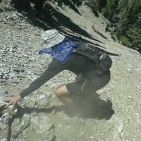
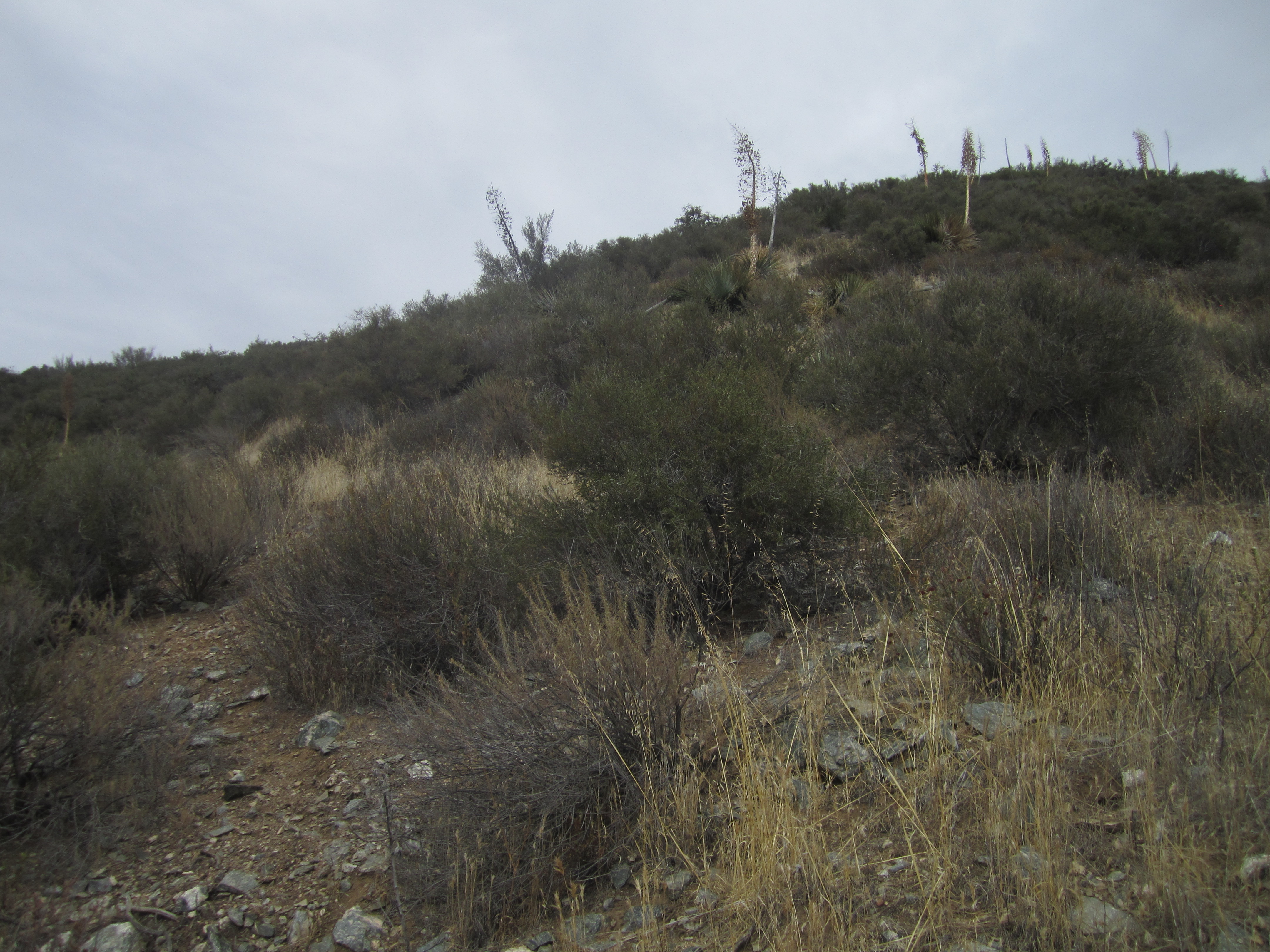
Initially the route was fairly simple to follow. It appeared to be cut by badass firefighters long ago. Some old tape was still clinging to branches here and there. However, the steepness was intense, and the ground was slick, requiring me to grab half-dead branches for support while ascending in some places. There were also a couple sections of sketchy rocks that I used, ironically, for stability.

Eventually, after huffing an puffing up this slope in 90-degree humidity, I reached the easier grade.
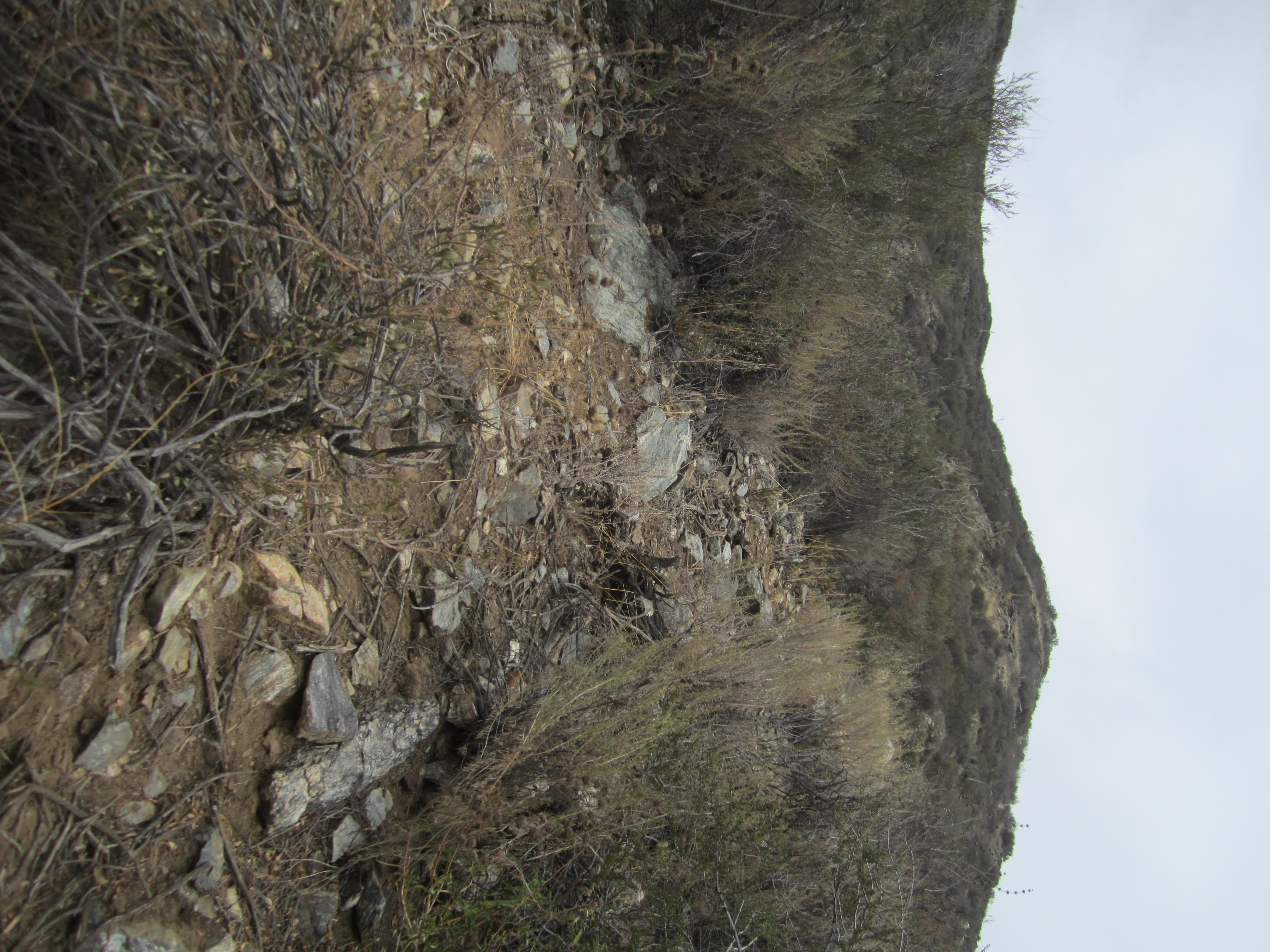
I headed leftward toward the main ridge, along a clear use/animal trail. However, this trail petered out into a mess of brush. I probably should have tried continuing straight up the ascent slope. Anyway, I battled through the brush and finally reached a clearer portion of the ridge, closing in on the summit.
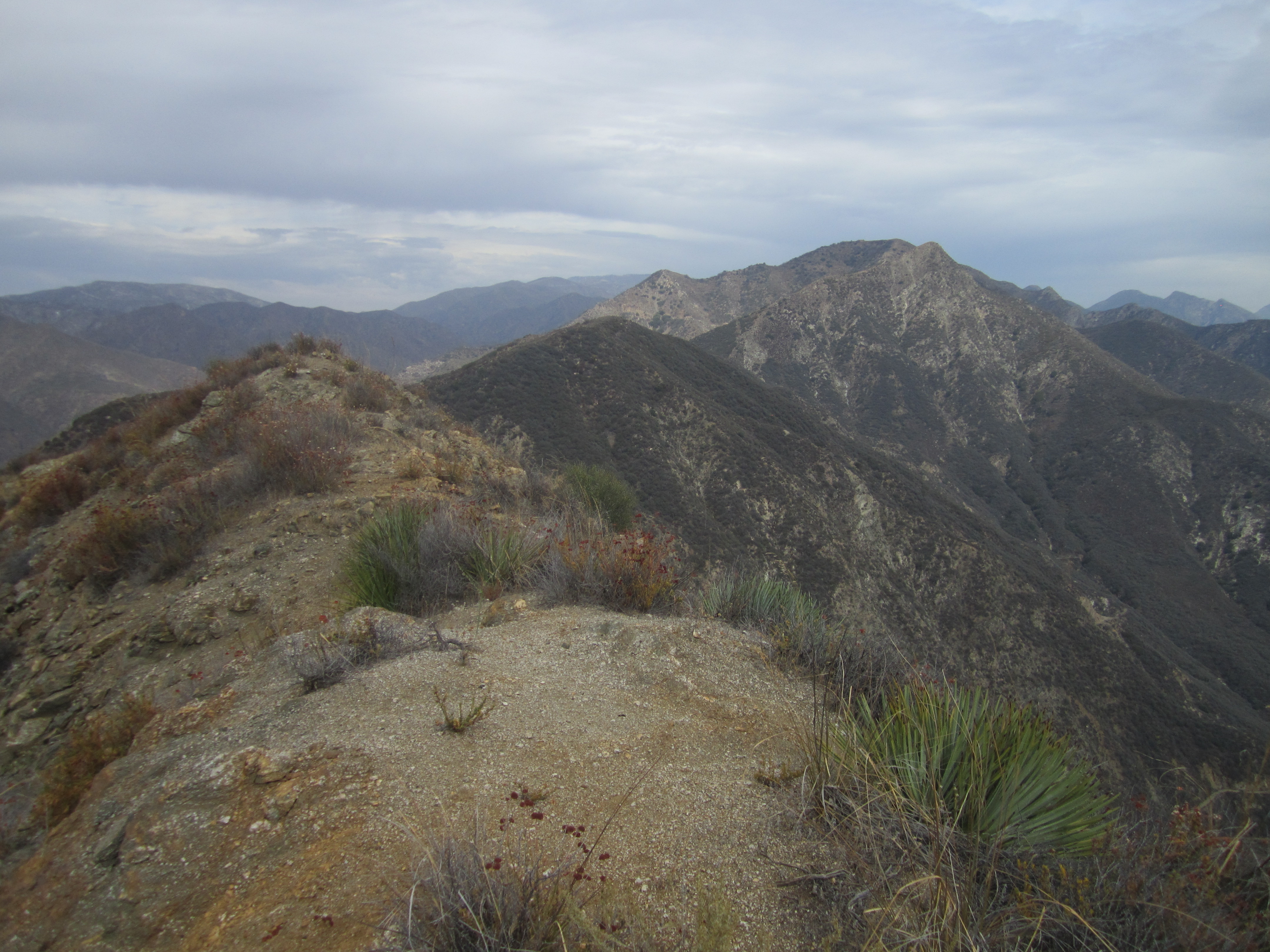
The summit is a narrow, slender thing, yet with a decent place to lie down if you happen to be exhausted from the stupid route you took. The views in all directions are open and stunning.
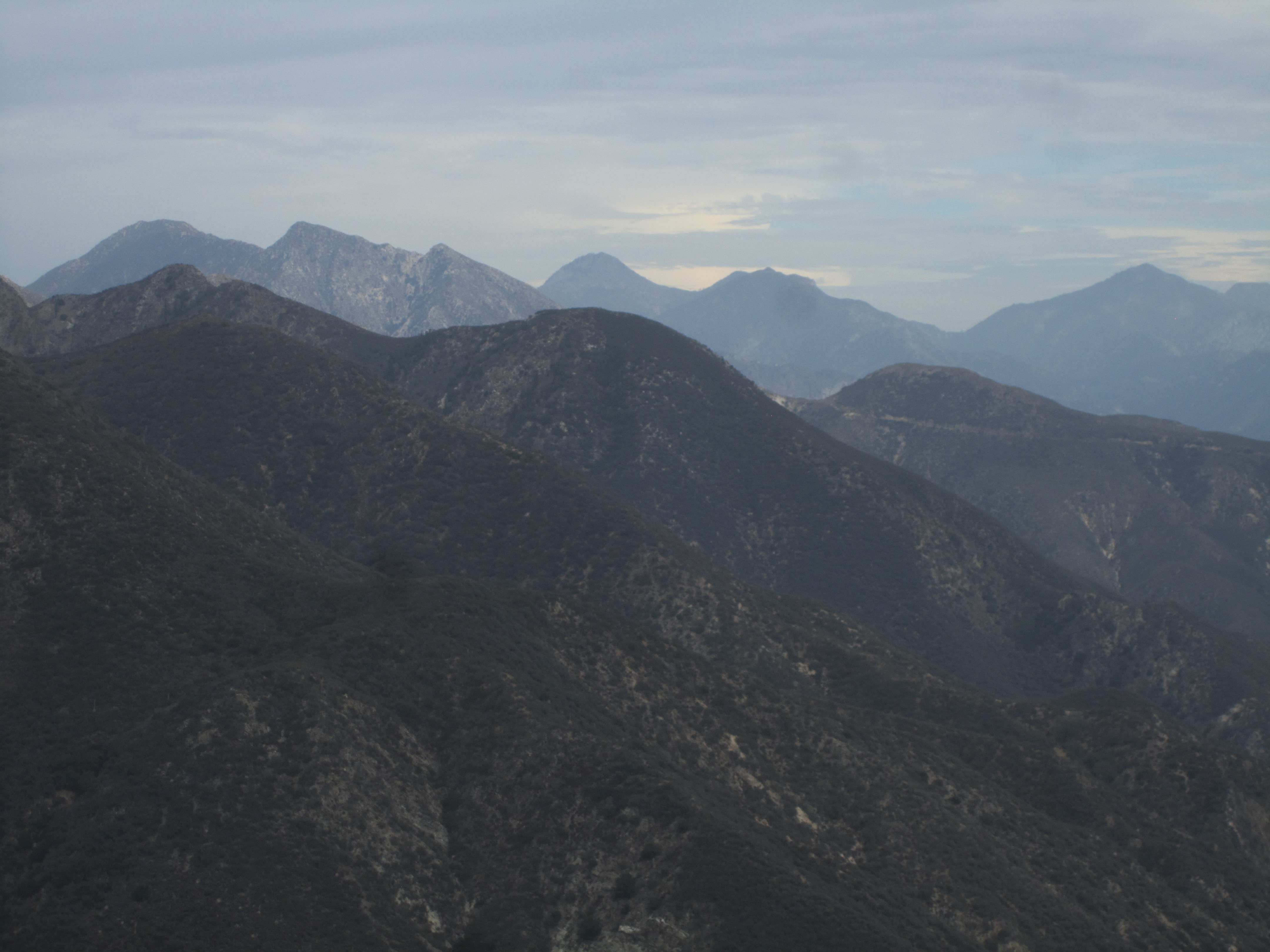
(Looking east toward Strawberry Peak)
The summit offered a register, placed earlier this year presumably by Mason "Spider" Savage, whom I must thank for the stickers.

After reducing my heart rate from scary to acceptable, I dropped down the NE side, first walking along a knifeblade, then a wider slope.
Rather than rollercoastering all the way to Highline Saddle, I passed over one small bump before deciding to exit stage left into a gully above the fire road. Just my luck--the bottom was full of poison oak.

Lacking the necessary motivation to search for a better route to the road, I said, "Screw it!", and plowed through fifty feet of the devil's vine before landing on the safety of the fire road, where I promptly smeared dirt all over my bare legs and arms and even my face and neck. We'll see if this tactic prevents a bad reaction.