CCC Ridge to Oakwilde (Historical Site)

TRs for the San Gabriel Mountains.
Post Reply
User avatar
Sean
Cucamonga
Posts: 3782
Joined: Wed Jul 27, 2011 12:32 pm

Post by Sean »

The original plan for this morning--a traverse of Occidental Peak--will have to wait for another day, because Brad and I got thwarted by a deceased motorbiker on the ACH.

Image

It was an unpleasant scene. I'll spare you the details.

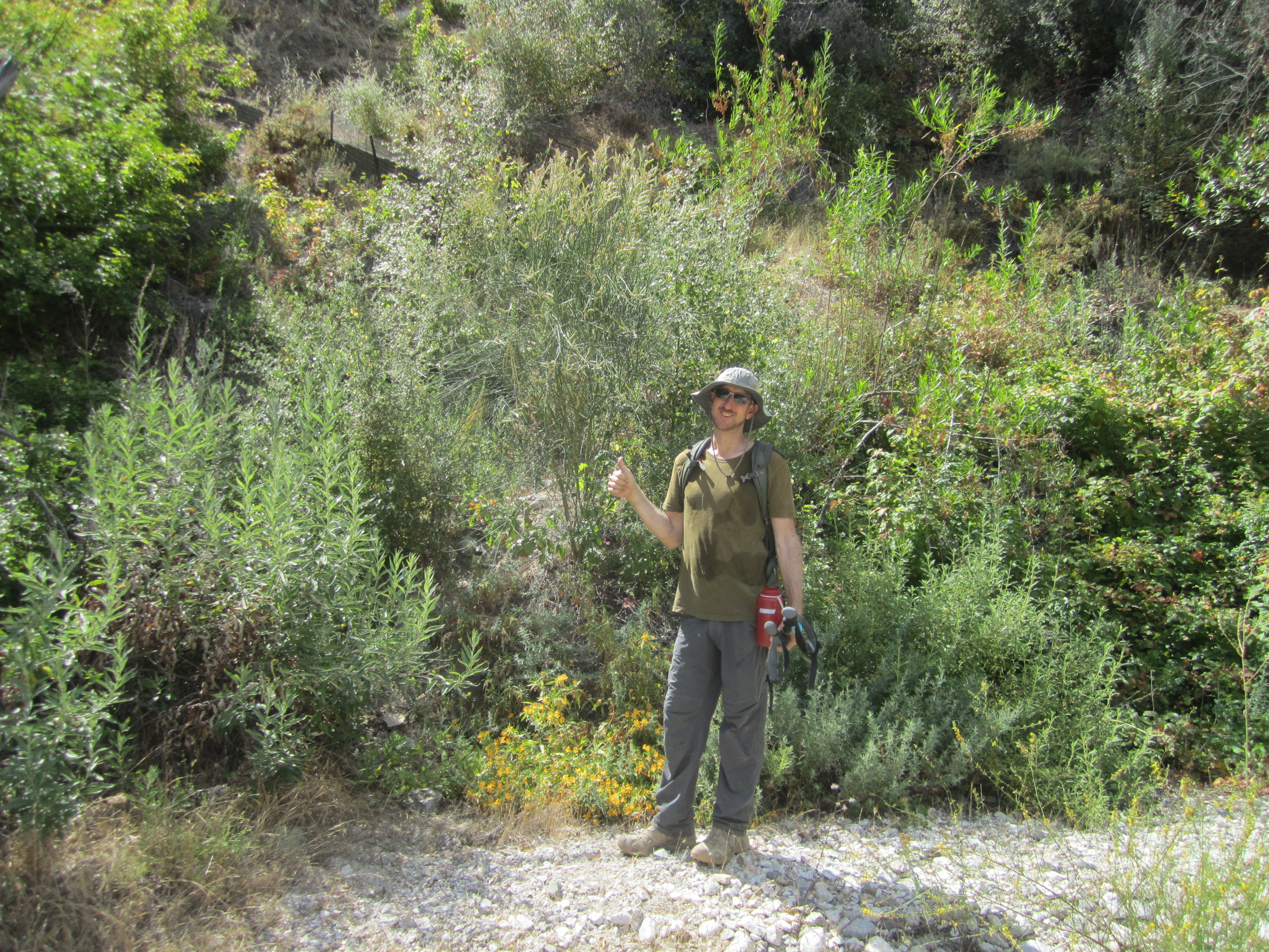
Anyway, we ultimately decided to brave the impending heat and try our luck on the CCC Ridge. The old Dark Canyon Road was overgrown, but really child's play for two grown adults.

Image

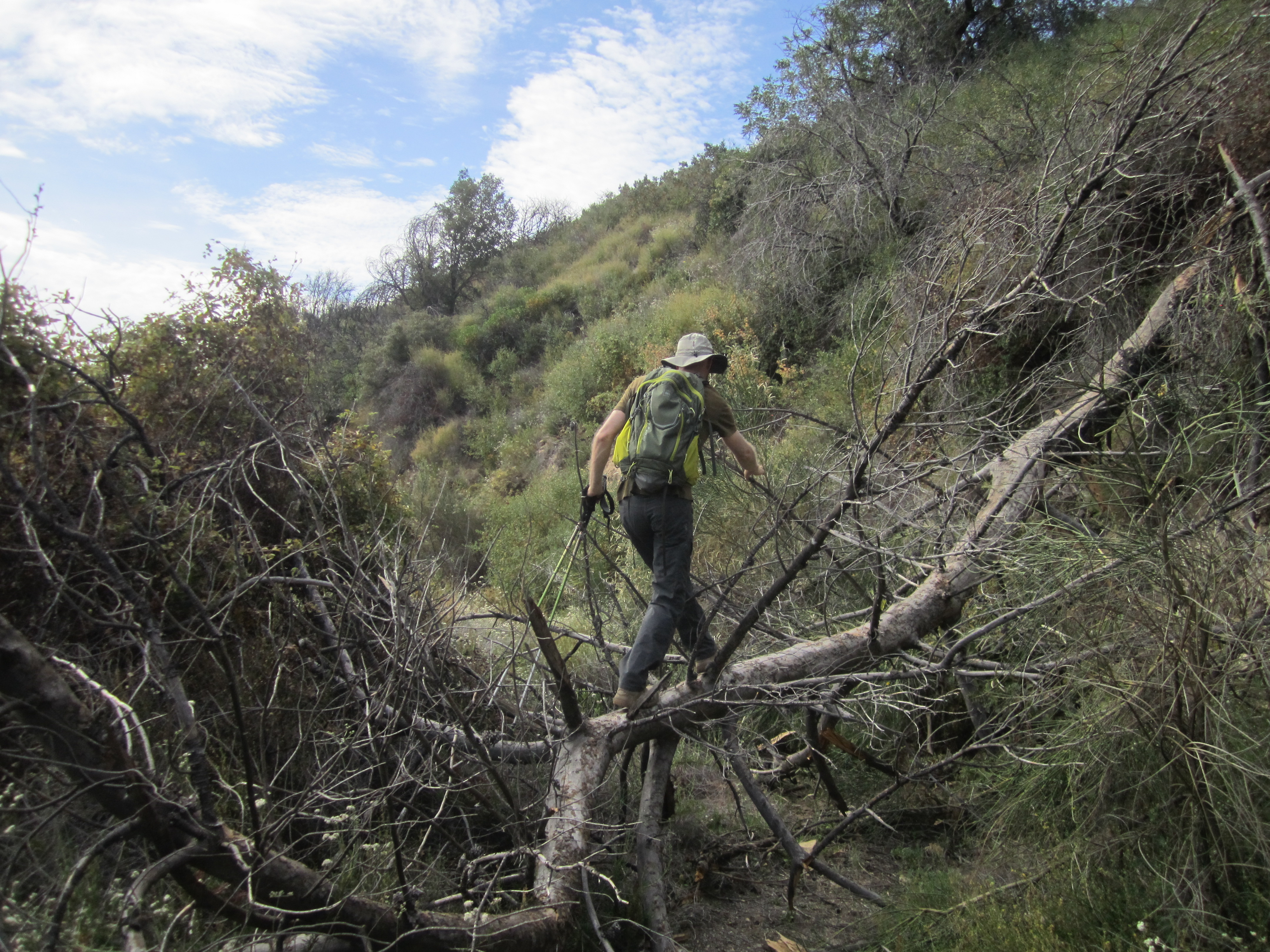
Where the road makes a U-turn into Dark Canyon, we continued forward, dropping down an overgrown, steep, use trail.

Image

This went on for a few hundred feet of loss.

Image

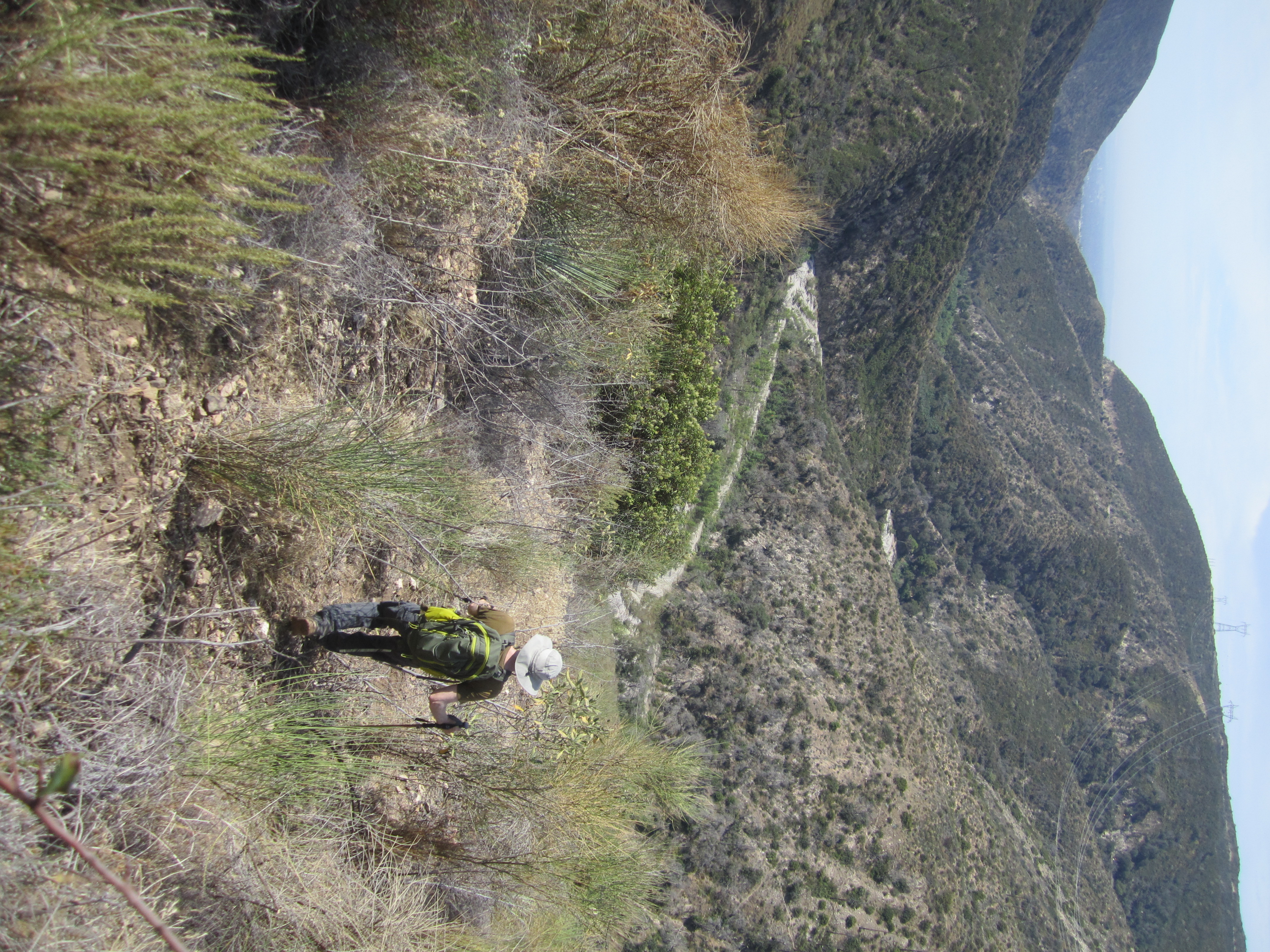
I suppose there are a couple different ways to negotiate the final scramble off the ridge and into the Arroyo Seco. We probably found the most difficult, which still was only hard class 2 climbing down some rocks and a loose gully.

Image

Brad found the entrance to the Ken Burton Trail.

Image

I don't think it sees much action. Poison oak has taken it over.

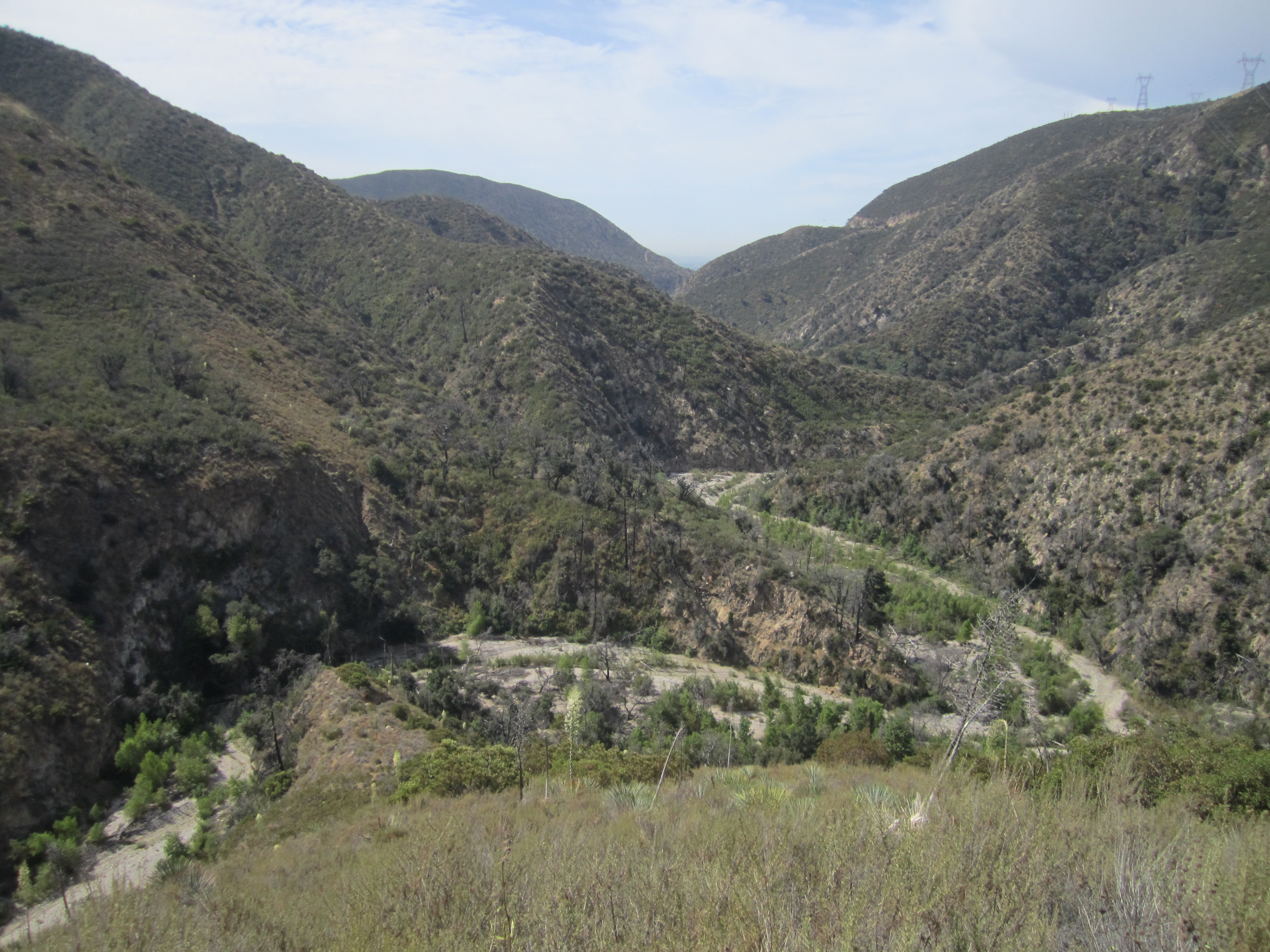
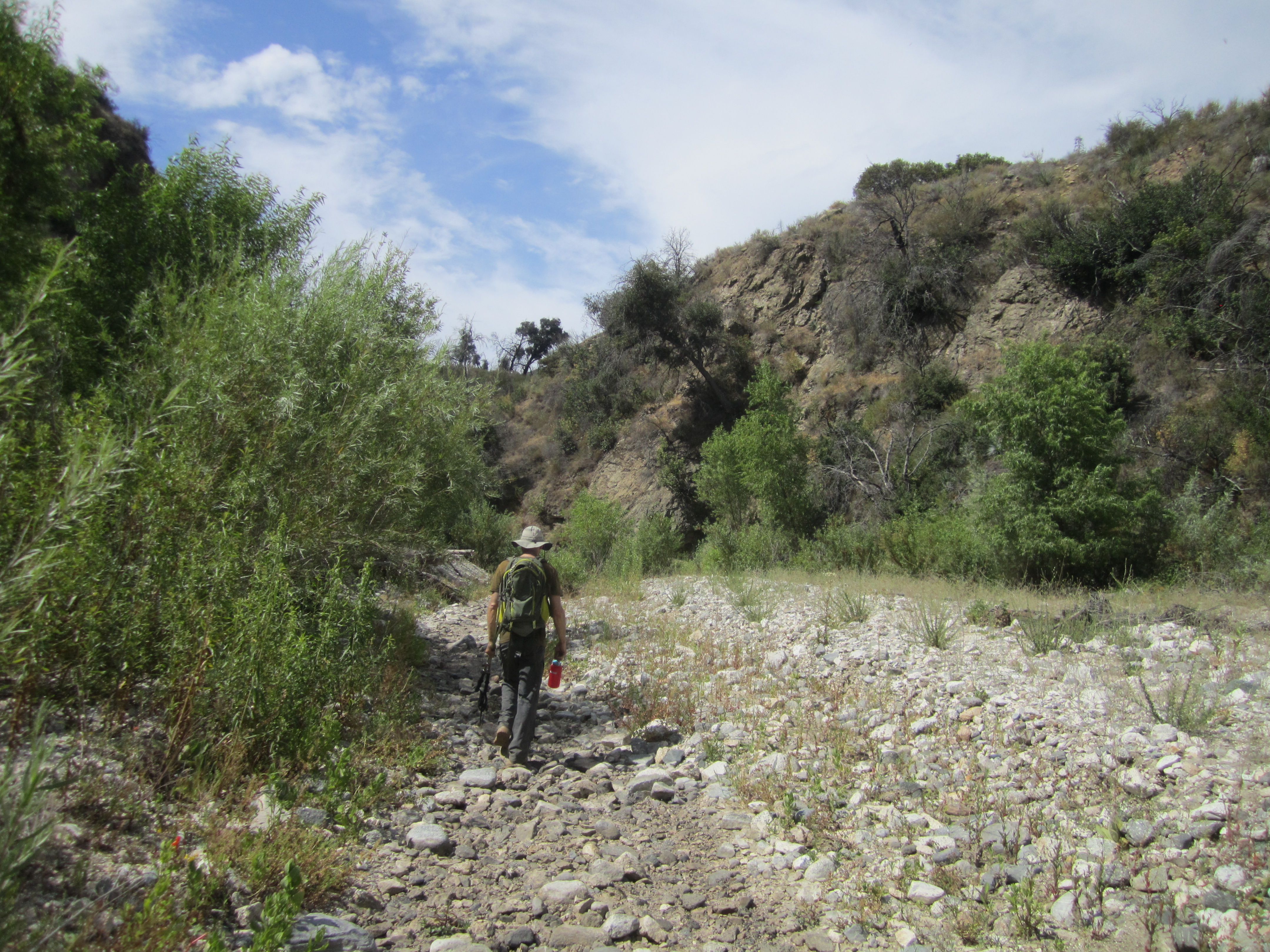
We then continued a short distance down the dry streambed, attempting to locate the historical site known only as "Oakwilde," where well-dressed couples used to rest in the cool shade and nibble on wild berries, while the boisterous children splashed about in the sweet stream water.

Image

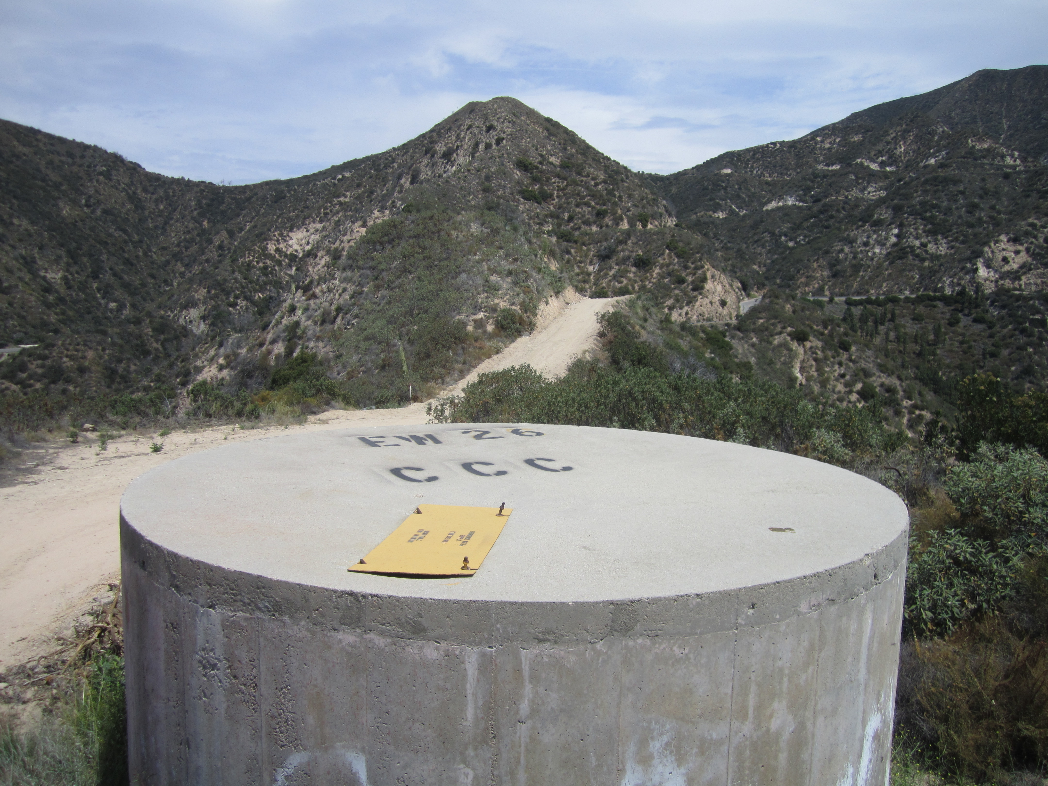
Not much of Oakwilde remains. We found the wide bench where it must have flourished once upon a time. But it was all overgrown. Amongst the vegetation we found this...
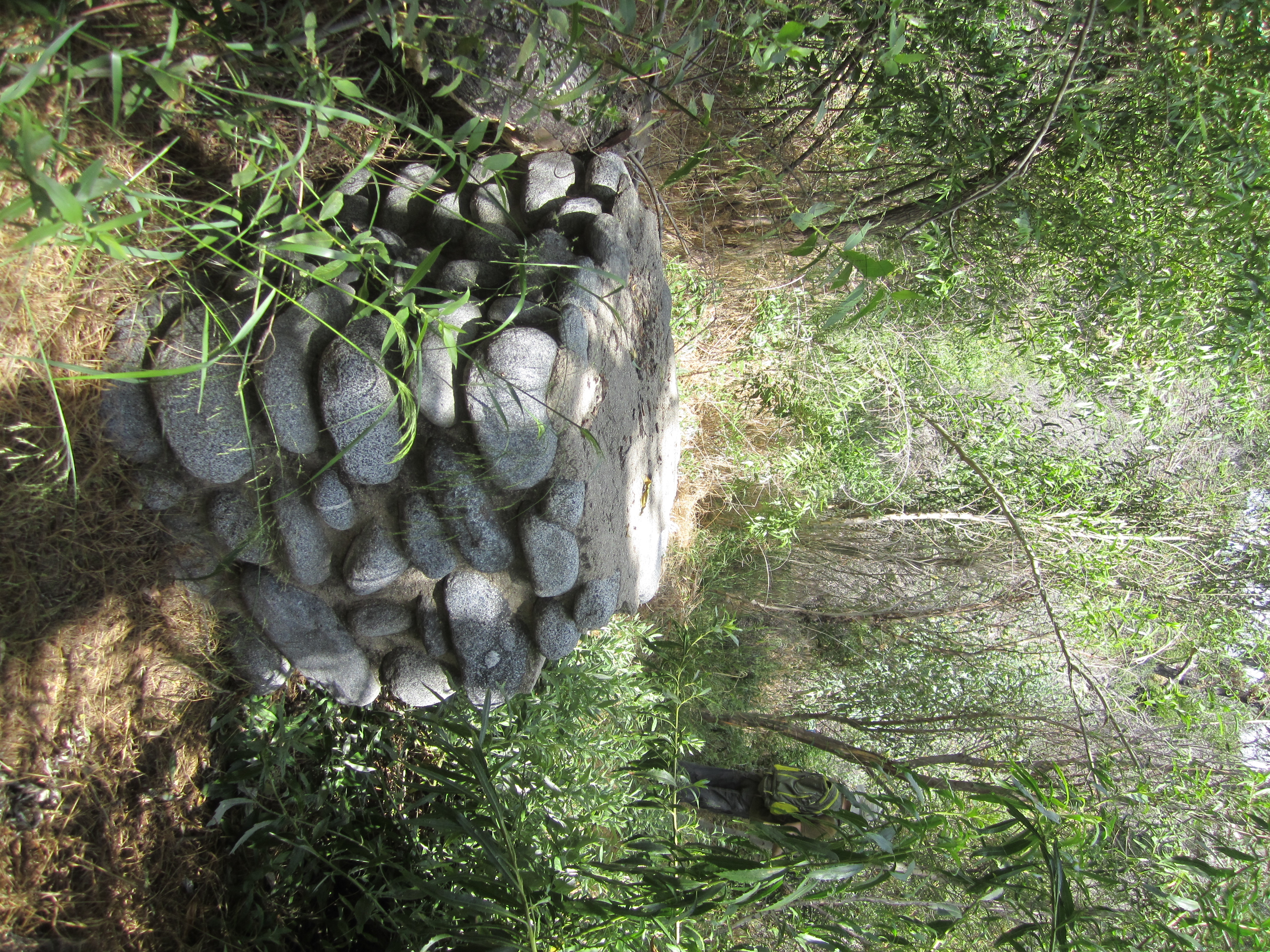
Image

and this...

Image

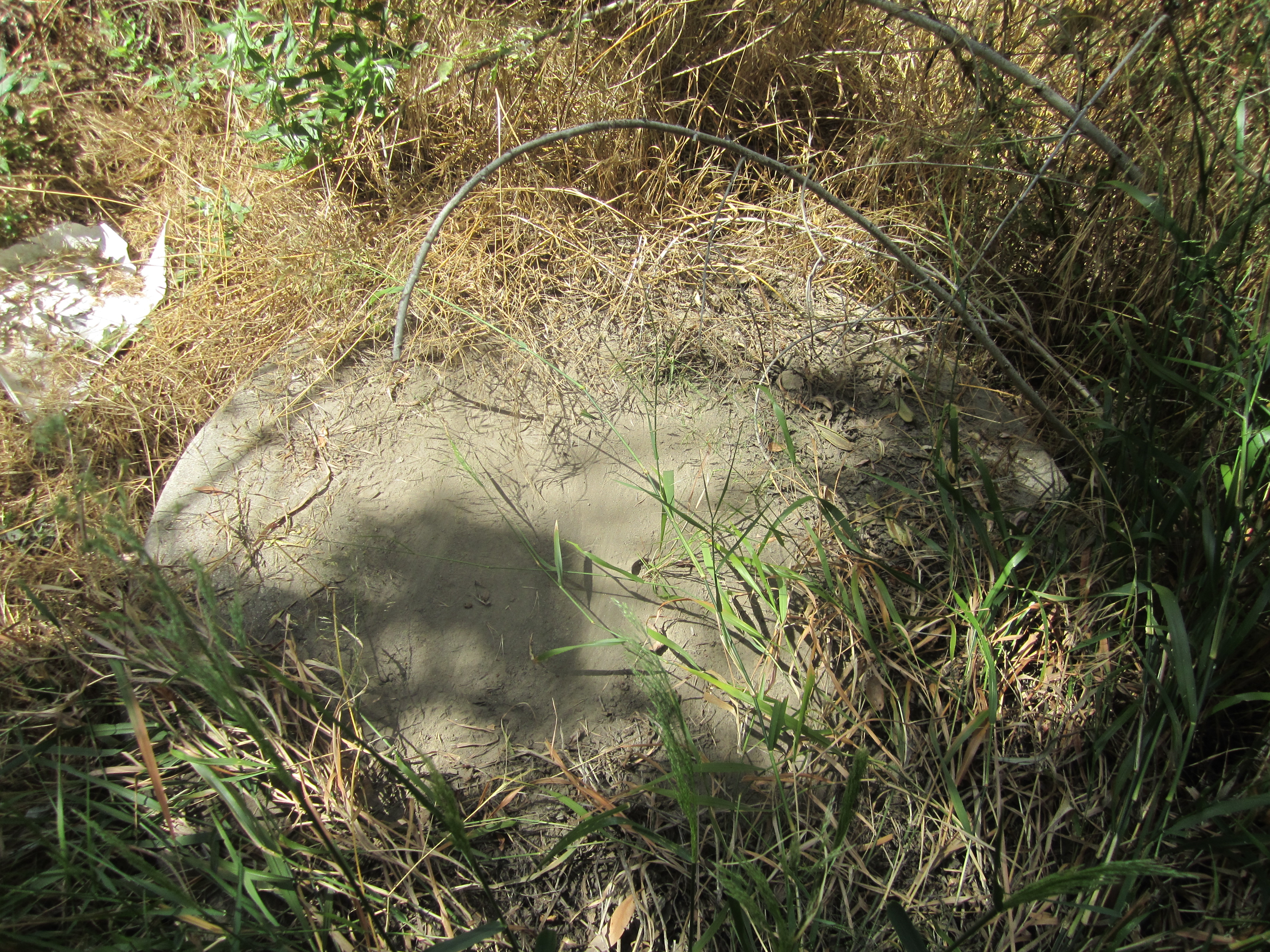
Unfortunately we did not find a picnic table. Nor were there any informative signs like "Only you can prevent forest fires" and "Give a hoot, don't pollute!"

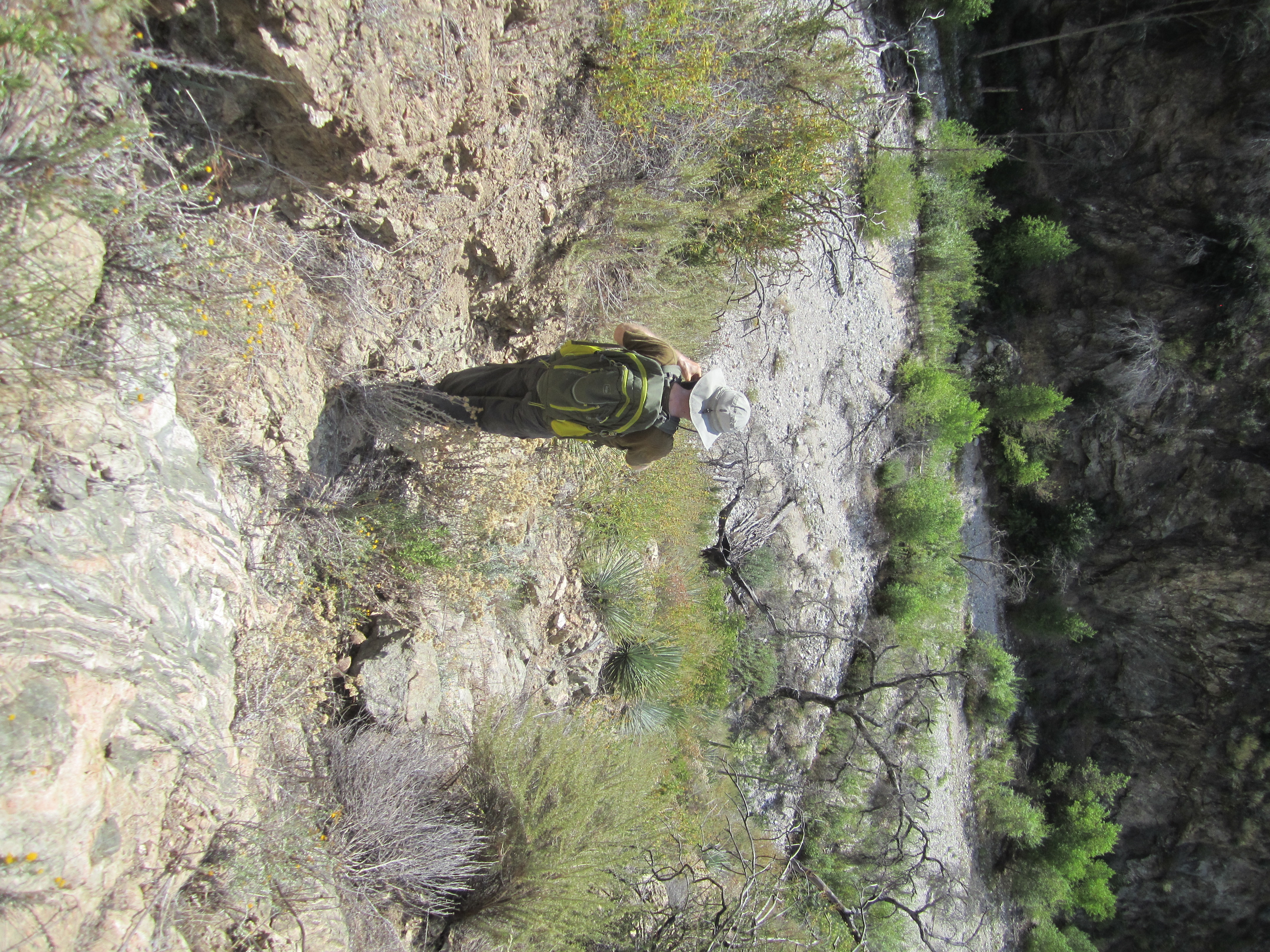
After drinking some water, we briefly considered going up Dark Canyon but quickly decided against it. Instead we found a slightly different way back up the CCC Ridge, taking the poison oak-infested toe directly above Oakwilde to the main ridge.

Image

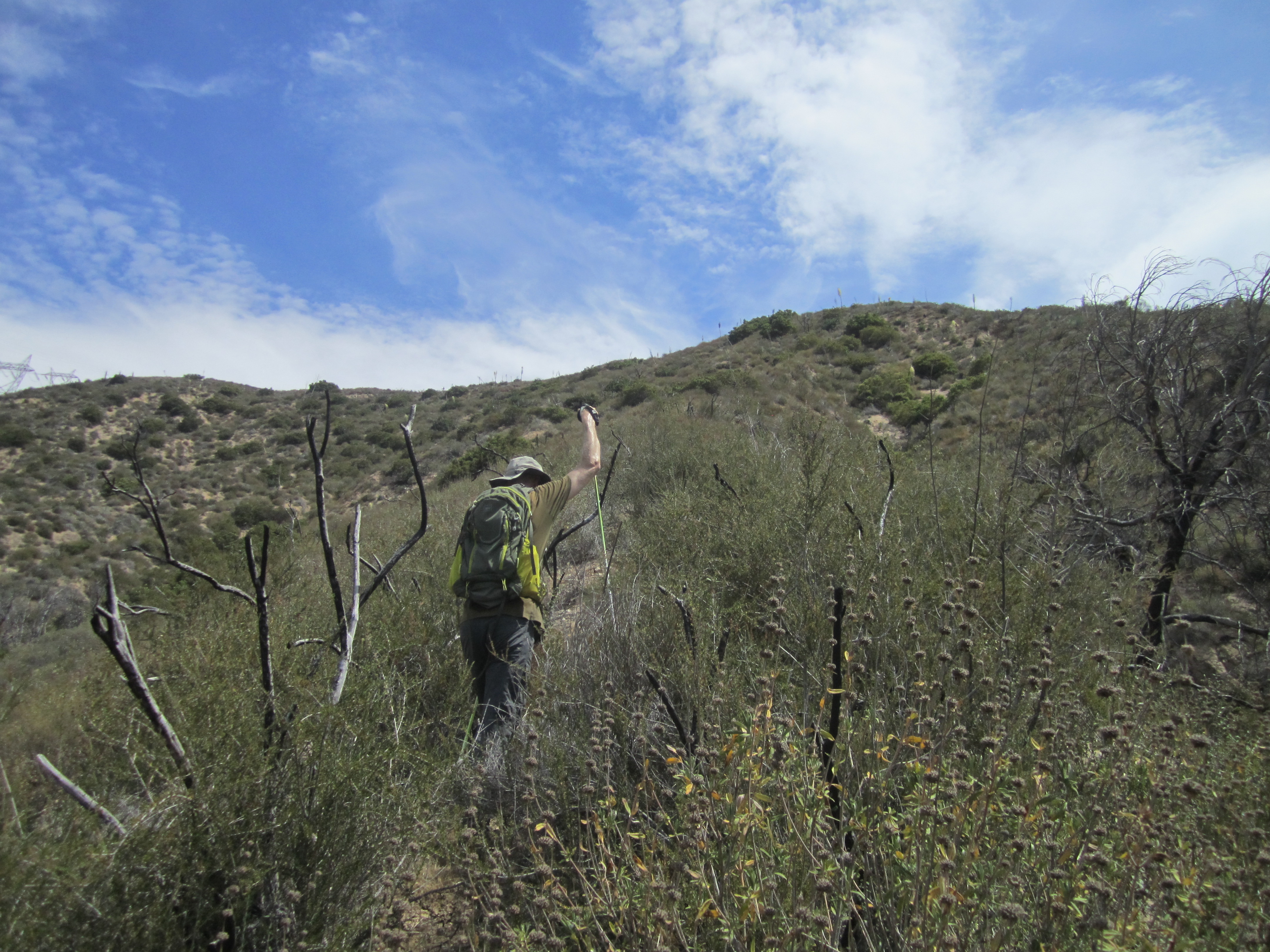
The use/animal trails on this ridge are pretty well-defined and easy to follow. But they are very steep and loose in parts.

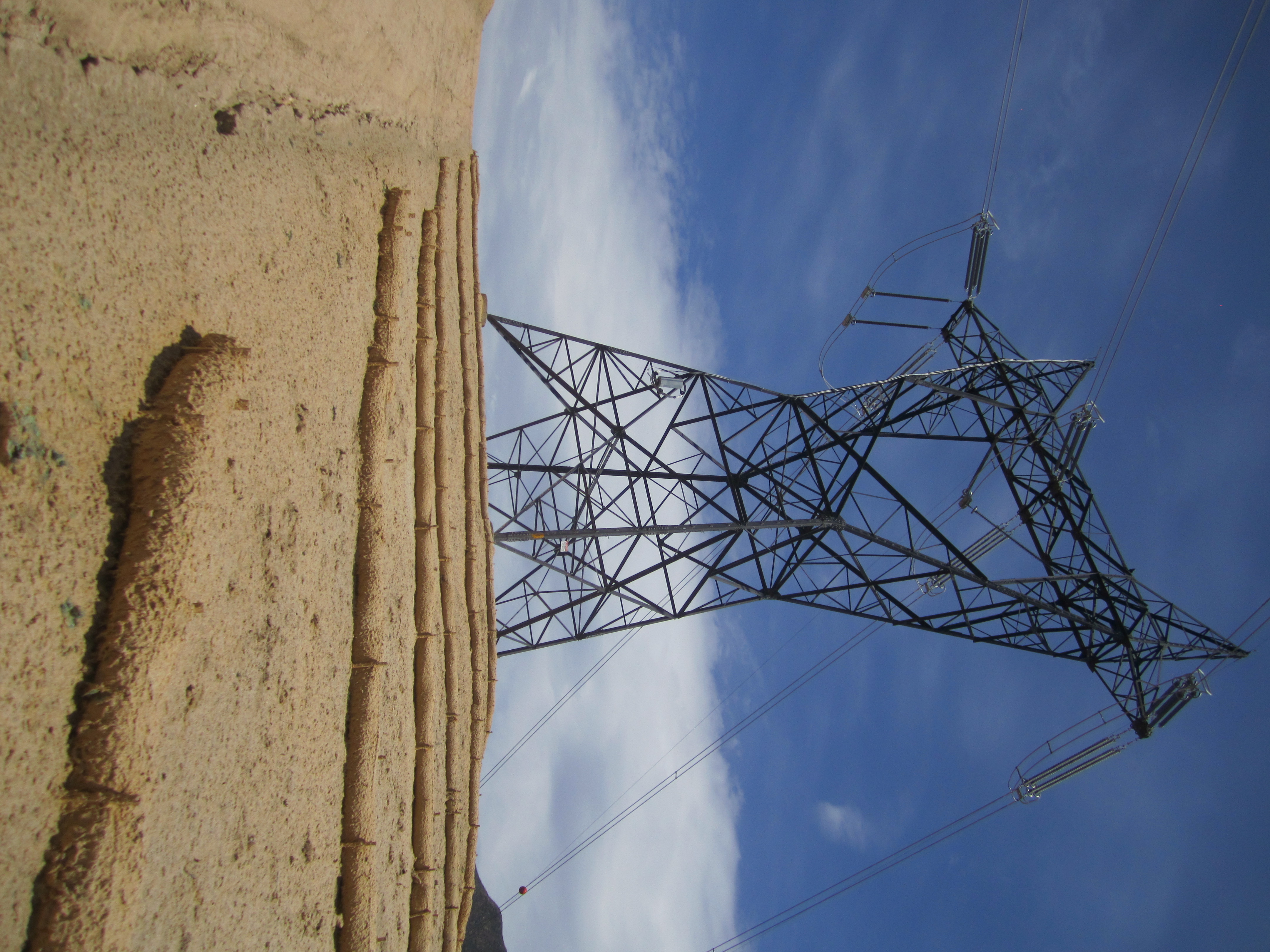
Once at the towers, we followed the beautiful service road back to the car.

Image

Image
User avatar
mattmaxon
Posts: 1137
Joined: Mon Mar 24, 2008 12:48 pm

Post by mattmaxon »

hummm I probably saw you as you where heading out CCC ridge rd about 9:15am-ish

I hiked up colby cyn and back down Josephine Pk Rd early getting back about 9am

ACH was crawling with CHP & Sheriff
User avatar
shreddy
Posts: 241
Joined: Sun Jan 16, 2011 10:40 pm

Post by shreddy »

Haven't been to Oakwilde since the Station Fire. Would like to check it out. Thanks for the report and pics. -Happy Trails.
User avatar
missy
Posts: 83
Joined: Thu Jul 31, 2014 2:14 am

Post by missy »

You guys come up with the best ideas for hiking in the San gabes. Thanks for sharing this trip report. Been interested in visiting Oakwilde but you've updated my curiosity ?
User avatar
Sean
Cucamonga
Posts: 3782
Joined: Wed Jul 27, 2011 12:32 pm

Post by Sean »

mattmaxon wrote: hummm I probably saw you as you where heading out CCC ridge rd about 9:15am-ish

I hiked up colby cyn and back down Josephine Pk Rd early getting back about 9am

ACH was crawling with CHP & Sheriff
Yeah, that would have been us. We were the only ones on the ridge around that time.

The accident was a little before Red Box, so you're lucky you didn't get stuck behind the mess. They weren't letting anyone pass through.
User avatar
Rudy Rodriguez
Posts: 57
Joined: Sun Mar 04, 2012 11:06 pm

Post by Rudy Rodriguez »

Is it possible to proceed into dark canyon from the CCC ridge road? Didn't the road at one time, lead into dark canyon? I hiked up dark canyon from oakwilde once and found it to be a beautiful stream filled little canyon. I'm sure it's bone dry now. In dark canyon I found a road filled with bushes which ran parallel with the highway. I wondered if it was the original road or why was it there?

So there's no picnic tables in Oakwilde..? I remember going up there before the station fire and there was a stone table and fire ring.
User avatar
walker
Posts: 248
Joined: Mon Apr 08, 2013 11:14 pm

Post by walker »

I hiked up dark canyon from oakwilde once and found it to be a beautiful stream filled little canyon. I'm sure it's bone dry now.
Yes! It was a beautiful little stream under the canopy of alders and some pines in the shaded north facing canyon walls. You could park at the gate for CCC ridge then take the road switchback down to the canyon. There were some eroded washouts you had to cross, but not terrible. I haven't been back since the fire, but it does look like all the trees were roasted and most of Dark Canyon stream is full of silt backed up behind Brown Mt. Dam. I believe the fire rings and table have also been buried or washed away by the silt that washed down into arroyo after the fire. Unless they can remove that dam someday, the whole area seems like it will be buried under gravel for a long time.
In dark canyon I found a road filled with bushes which ran parallel with the highway.


I've followed sections of that road grade as well. It begins shortly after the fire station and eventually reaches Dark Canyon and traverses back up CCC ridge. You can follow sections of it through the brush, but there are some nasty and dangerous washouts in a couple of side canyons. I always assumed it was the original road before they built the bridges that span some of the side canyons - woodwardia canyon, slide canyon, etc.
User avatar
Sean
Cucamonga
Posts: 3782
Joined: Wed Jul 27, 2011 12:32 pm

Post by Sean »

Rudy Rodriguez wrote: Is it possible to proceed into dark canyon from the CCC ridge road?

So there's no picnic tables in Oakwilde?
The old roadbed does a U-turn on the ridge and heads down into Dark Canyon. We didn't go that way, so I don't know how rough it is, probably very overgrown and perhaps washed out as you get closer to the bottom.

We didn't see any tables at Oakwilde. I posted pictures of the ruins we saw, which wasn't much.
Post Reply