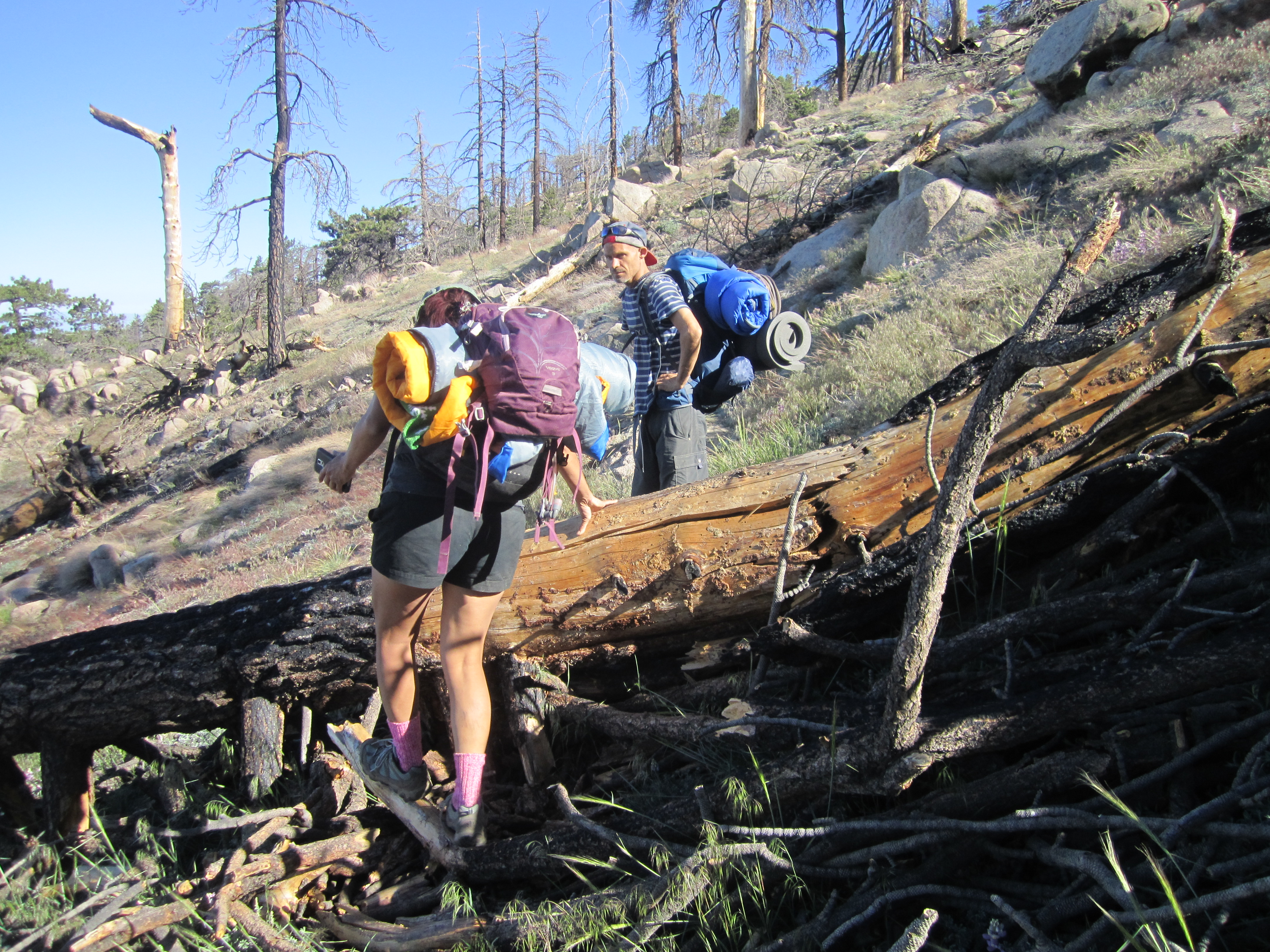
The evening air was cool and refreshing. And it was good to be in the wilderness for the weekend. It was Willie's first time backpacking since high school, and he was sporting a brand new pack.
On the Twin Peaks Saddle Trail, we passed two potential water sources, a small trickle over some rocks and something resembling a puddle, each in their own little gullies.
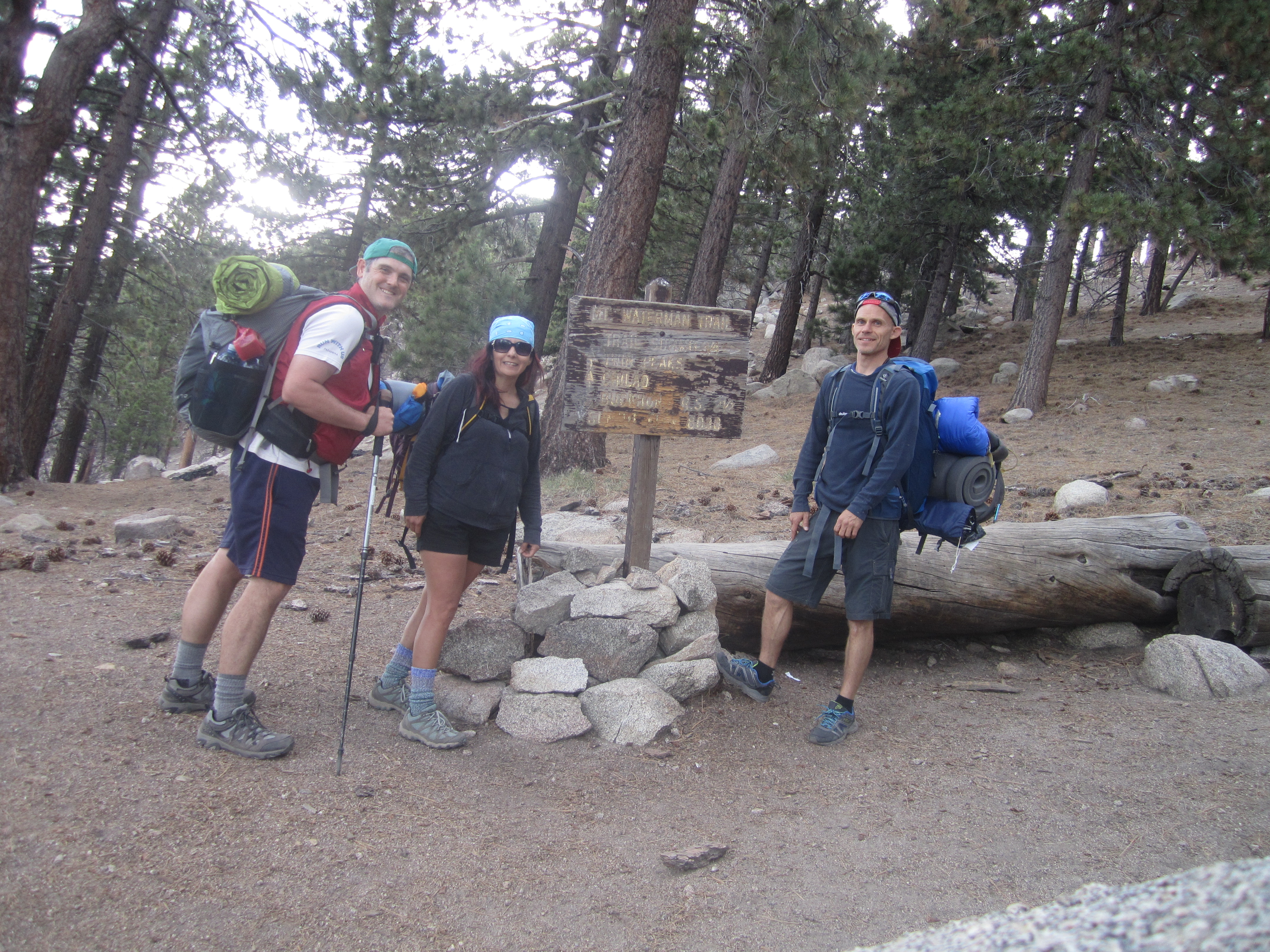
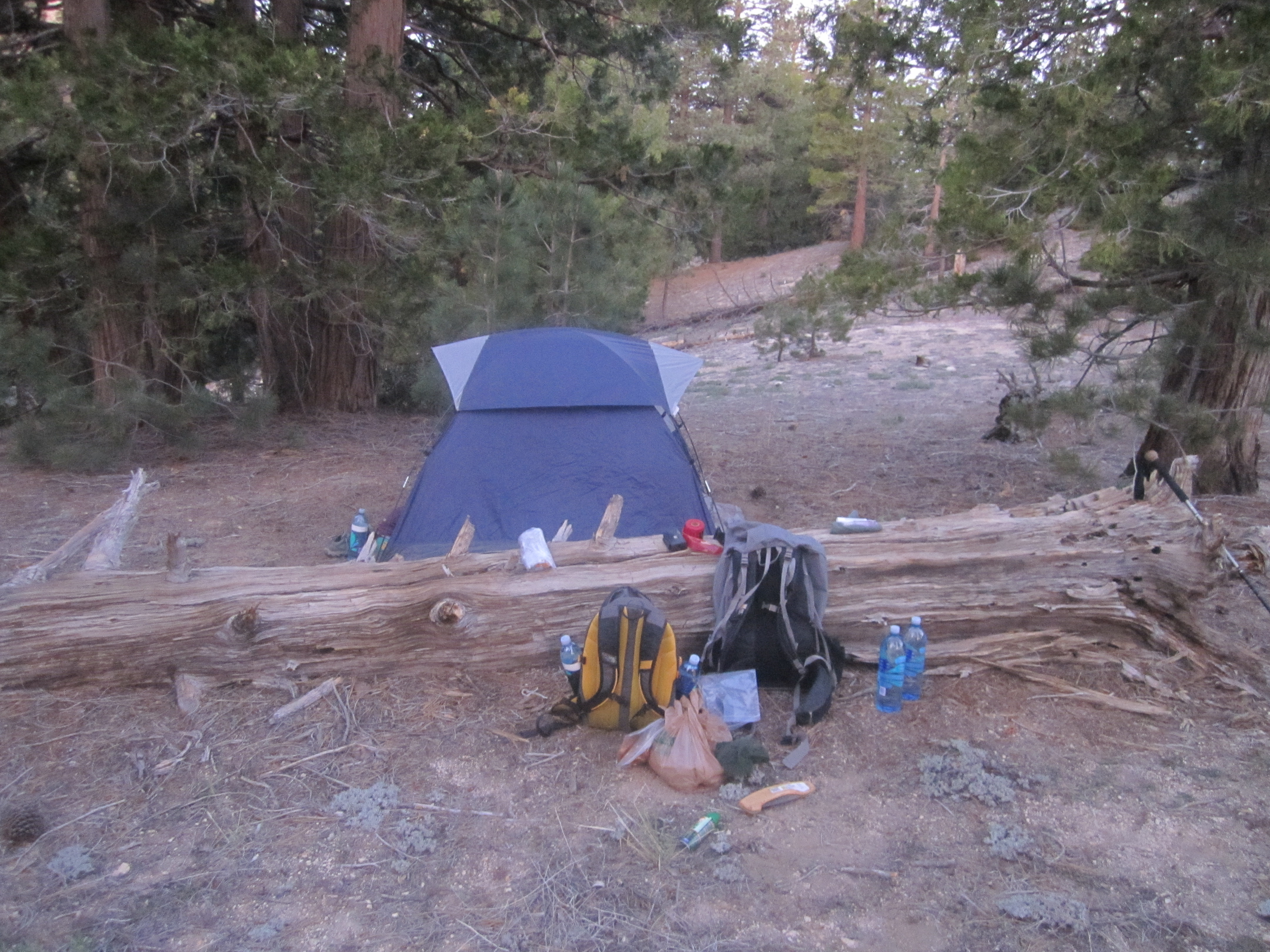
At the saddle we met up with two others, Andrew and Dave, who also had an interest in trying for Triplet Rocks. We all set up camp on a little ridge next to the saddle and talked away the evening.
At first light Saturday morning we woke and prepared our daypacks. By 6am, the adventure had begun. Andrew and Dave had started a little before the rest of us, and we didn't catch up to them for awhile.
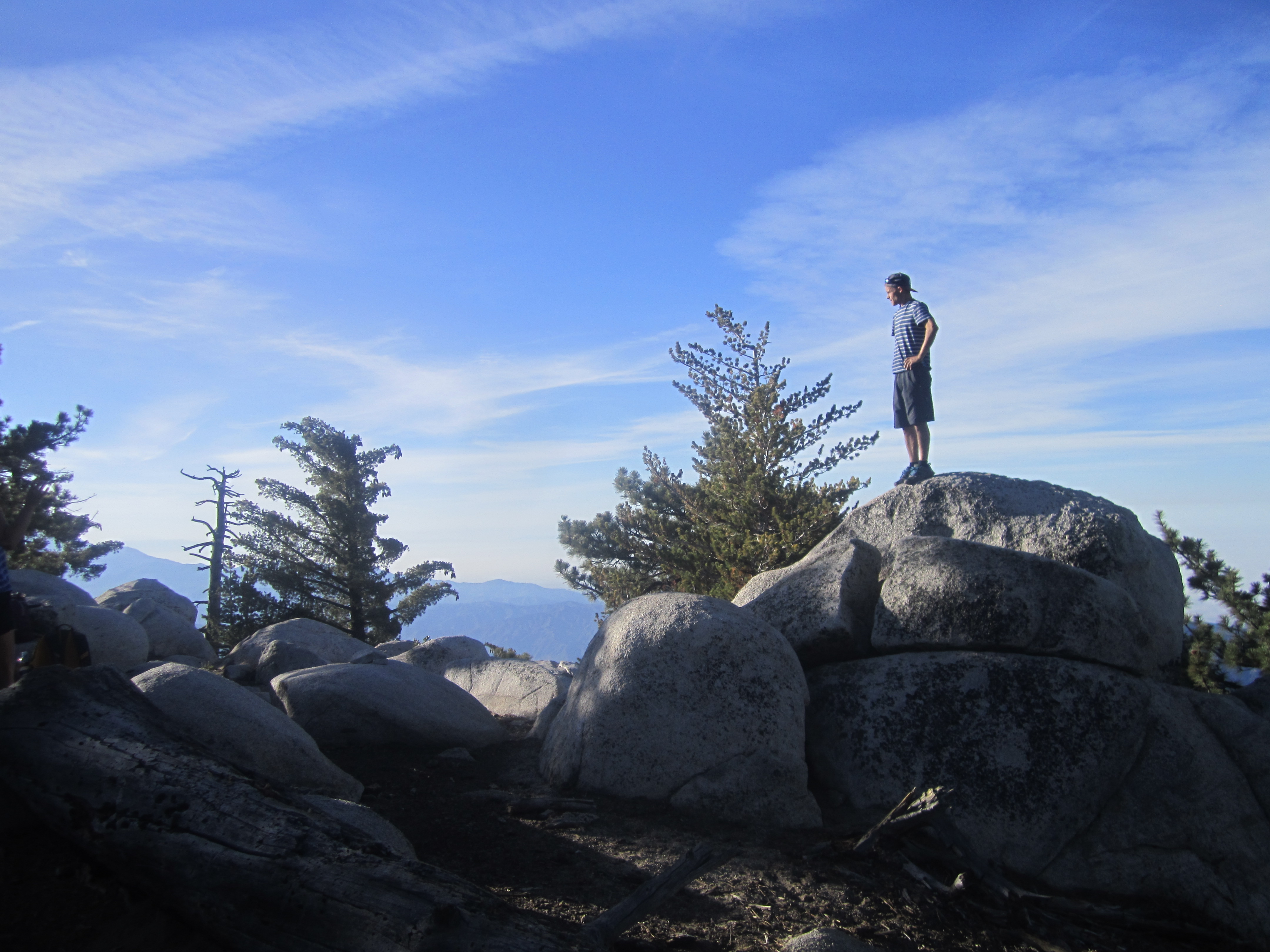
It was Cecelia's first time on Twin Peaks East.
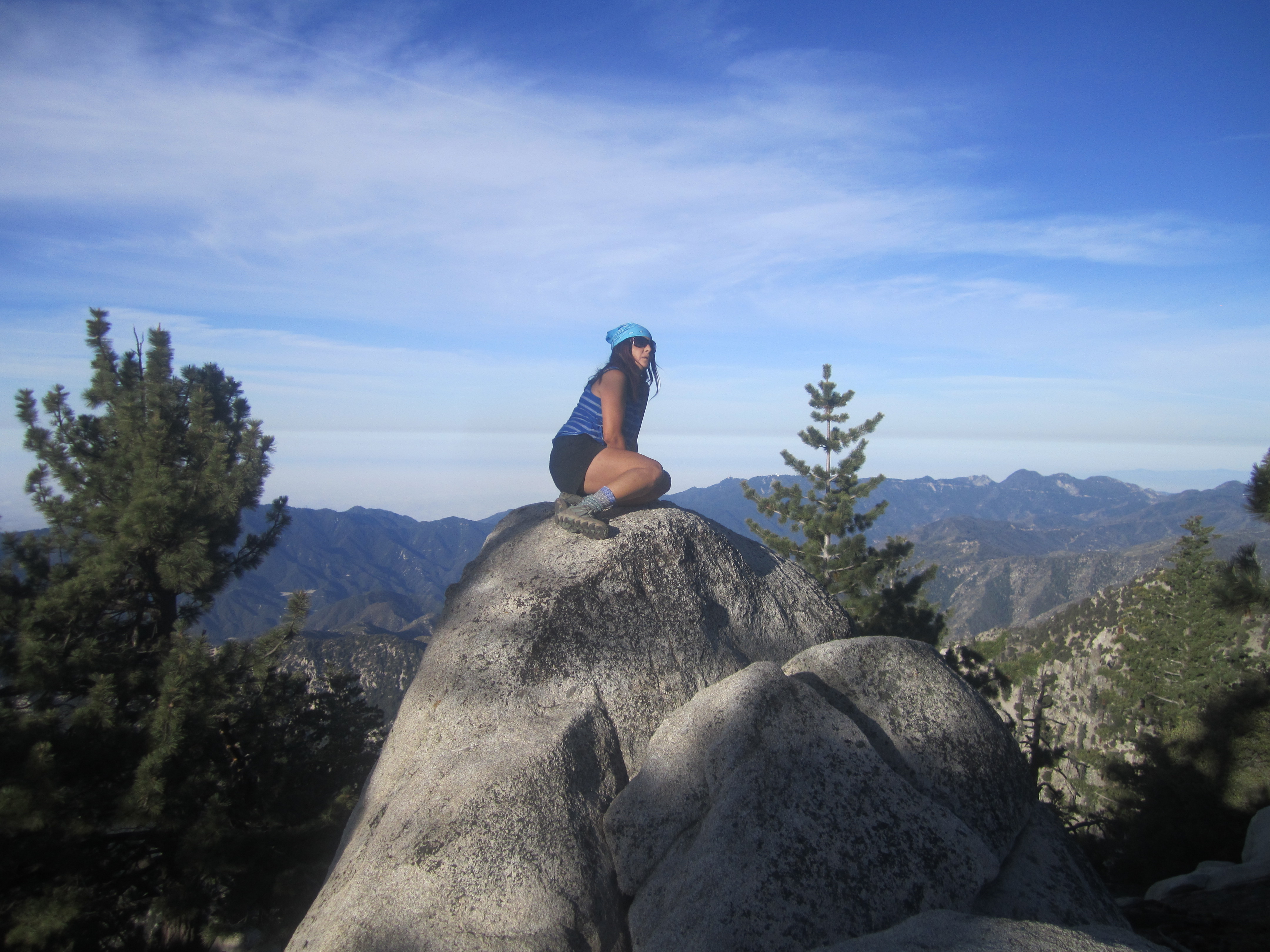
And I believe it was Willie's second time.
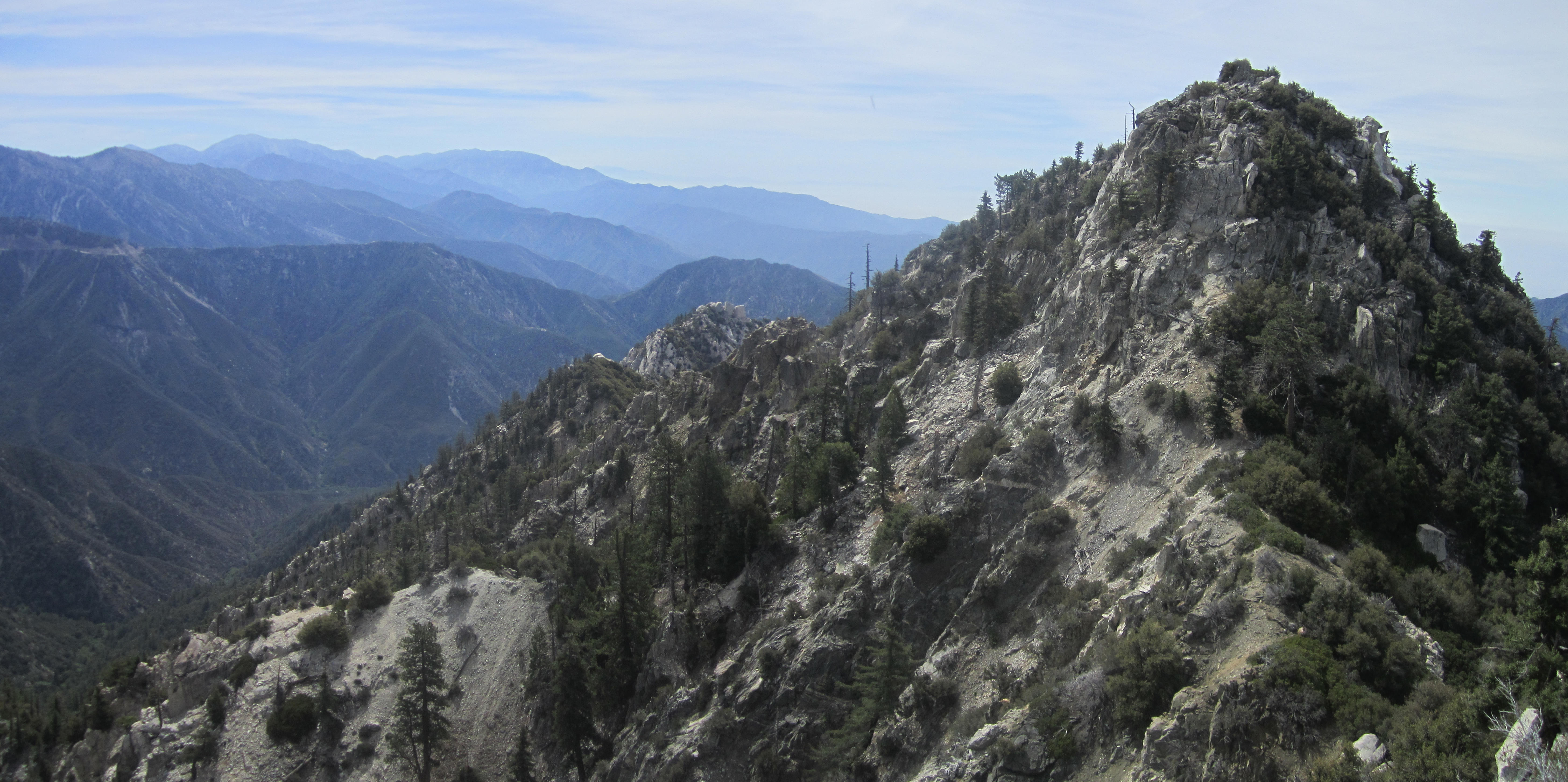
After failing to locate a register, we departed and headed down the east ridge toward Triplet Rocks.
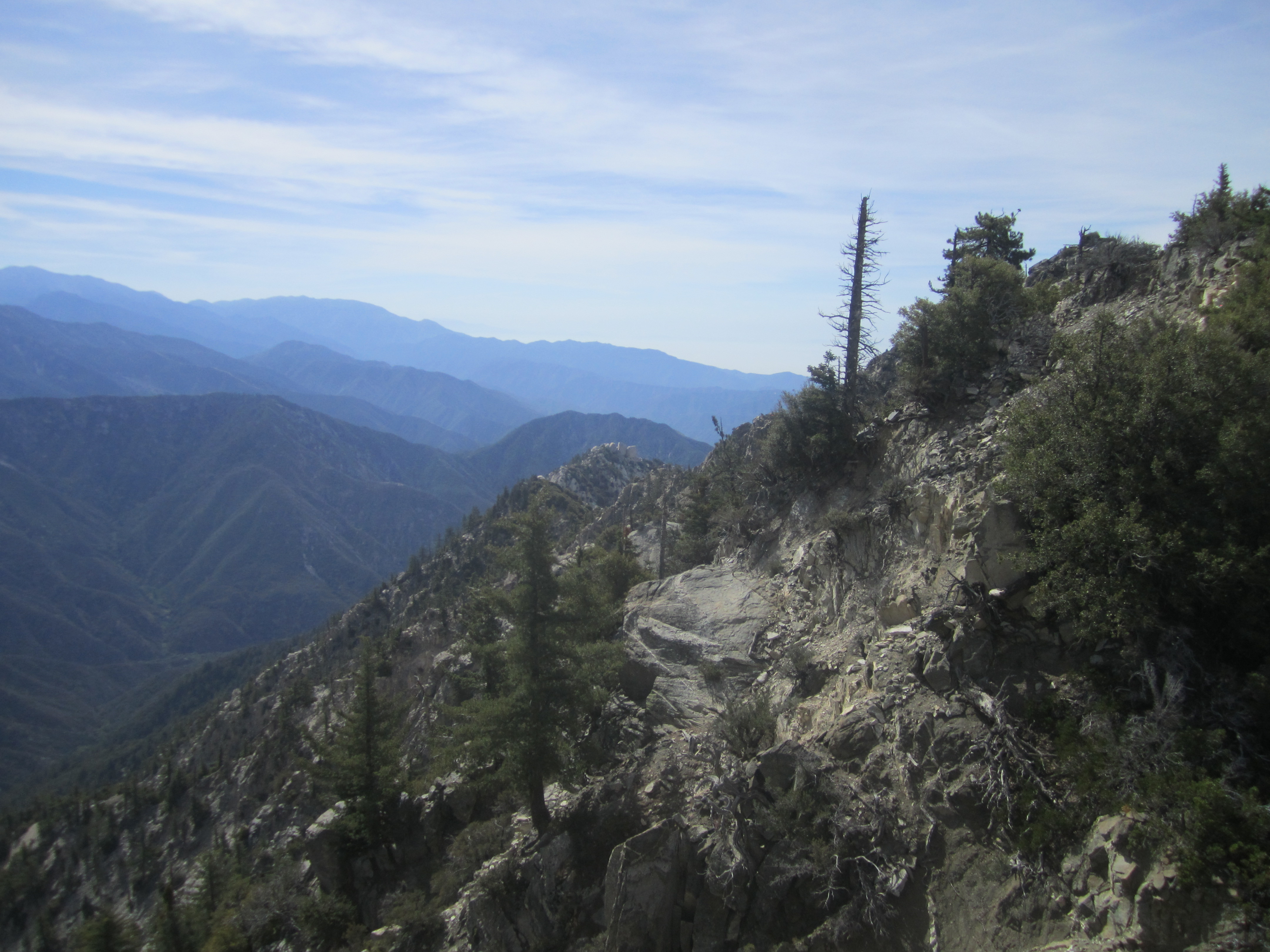
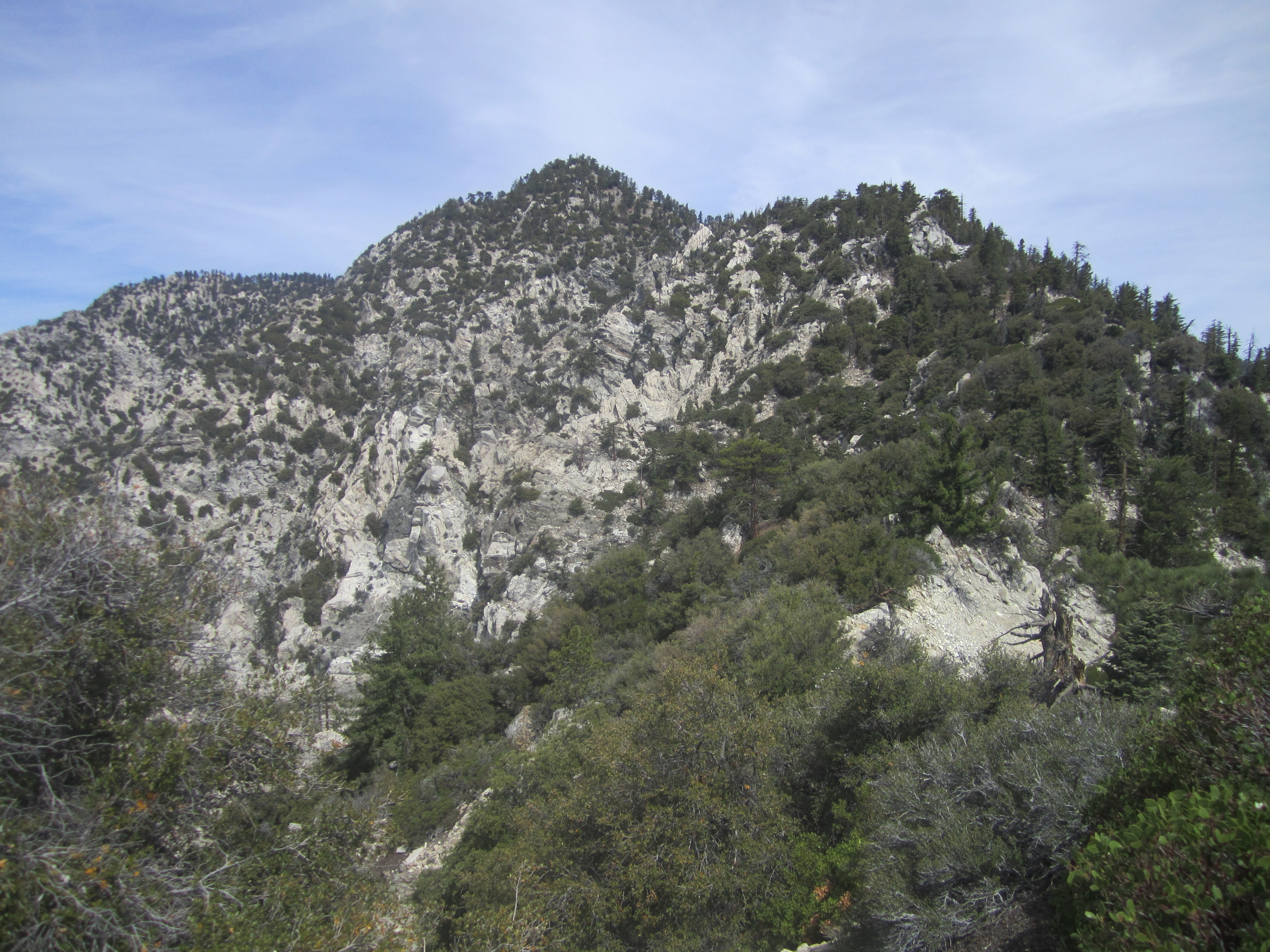
From reading previous trip reports, I knew the ridge was a navigational nightmare with difficult scrambling and bushwhacking nearly the entire distance. So I spent some time adding cairns and flags along our route.
The initial drop of about five hundred feet isn't too bad, and there are a bunch of cairns taking at least a couple different routes to the saddle. Once at the saddle, we contoured along the left side of the ridge, avoiding some larger boulders on the spine. Here I placed some flags, hoping to find this path on the return. It was during this stretch that we caught up with Andrew and Dave, who were hopping around on the boulders above us. They informed us that they had decided to turn around, and we said our goodbyes.
Willie, Cecelia, and I pushed on, but our pace was too slow for Willie, who said he was going to make a dash for it. He had gotten a good look at those three rocks and couldn't resist chasing after them.
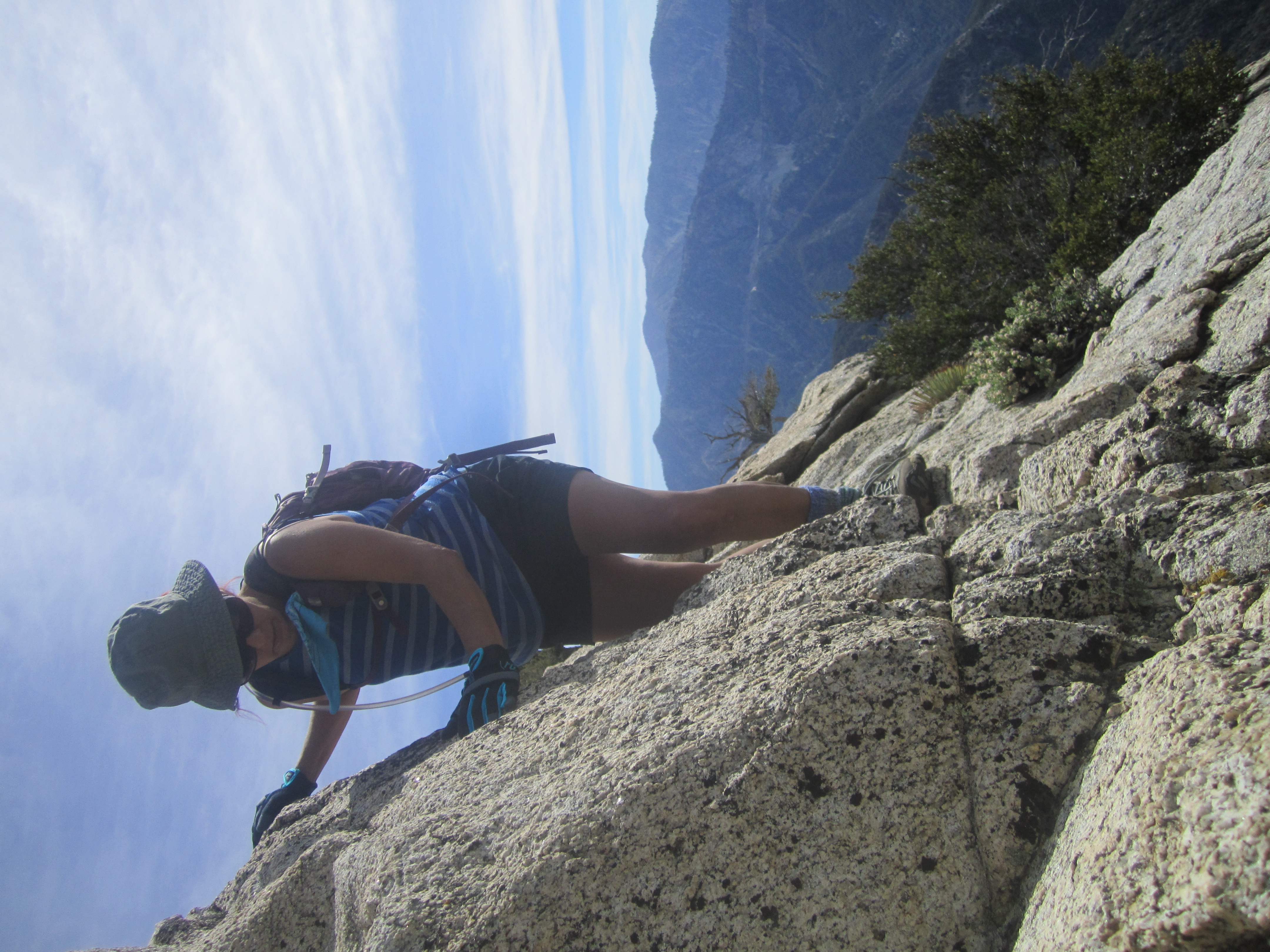
While Willie raced ahead, Cecelia and I crawled through brush, carefully stepped along exposed scree slopes, and clung to class 3 walls.
For the most part, the scrambling on this ridge is relentless. You get through one type of obstacle only to bump into the next type. The need to focus on navigation is nearly nonstop as well. It is truly a physical and mental challenge of the highest order.

Cecelia and I made it to a point immediately before Peak 6834.
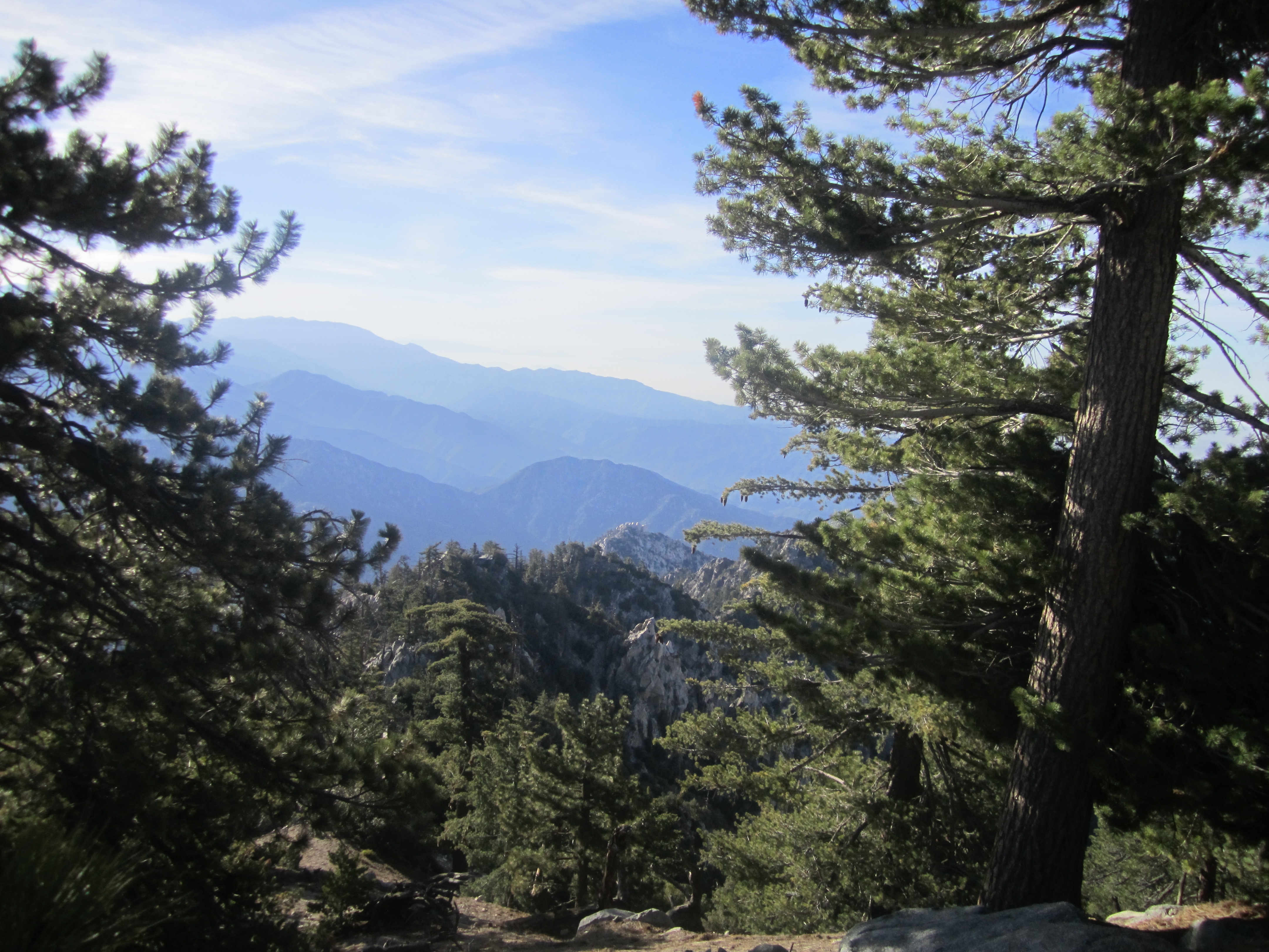
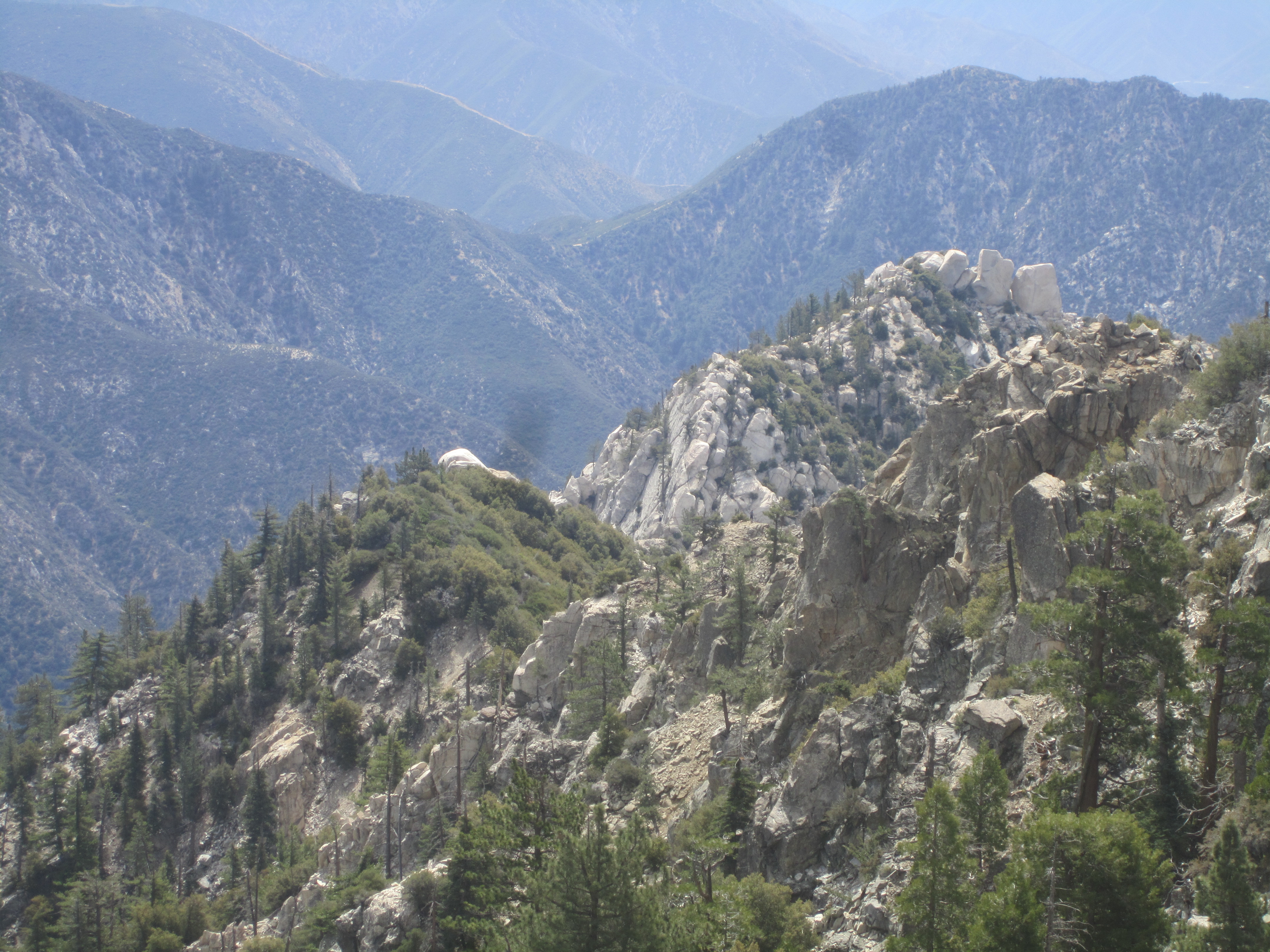
We were on a little bump with an old campsite and fire ring. It was a good place for taking in an amazing view of Triplet Rocks.

And the view looking back toward East Twin wasn't so bad either.
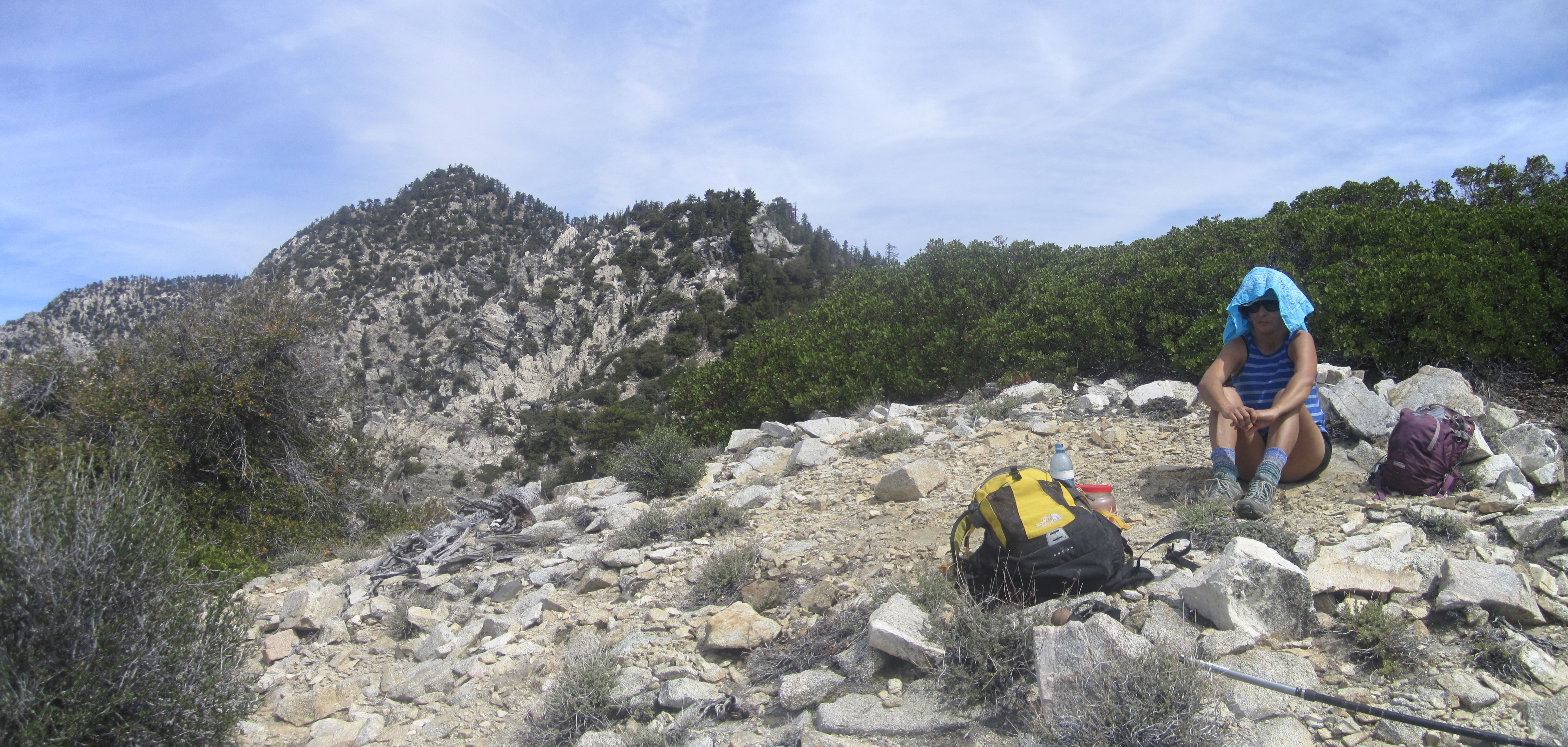
We hadn't heard or seen Willie in an hour or so, despite yelling out to him. The way the ridge zigs and zags makes communication across the saddles quite a challenge. During the course of our lunch break, we finally heard Willie shouting up to us from down below.
(That's Willie in the red circle)
He had made it some distance ahead of us and seemed to be very close to Triplet Rocks. But, as they say, "close only counts in horseshoes and hand grenades."
We shouted to Willie that we were turning around. It was obvious to me by now that continuing would only put us in real danger. The ridge appeared to be morphing into some sort of unholy monster right before our eyes. At 11am it was already getting pretty hot up there. Plus, with our slow pace I didn't think my bad back would endure much more of this torture.
So we enjoyed the unique views for a little longer and then headed back.
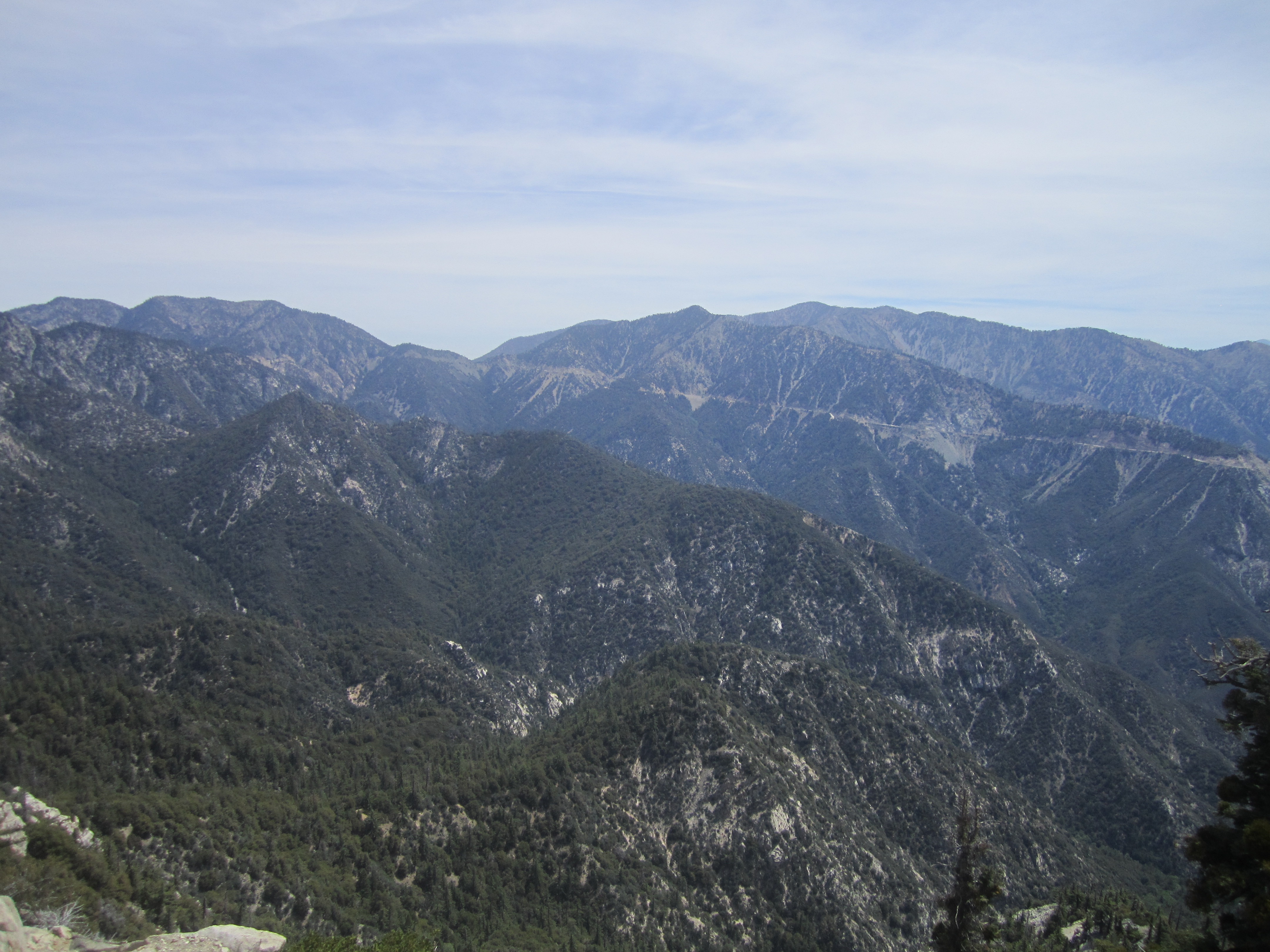
(View toward Islip Saddle)
(The way back to Twin Peaks)
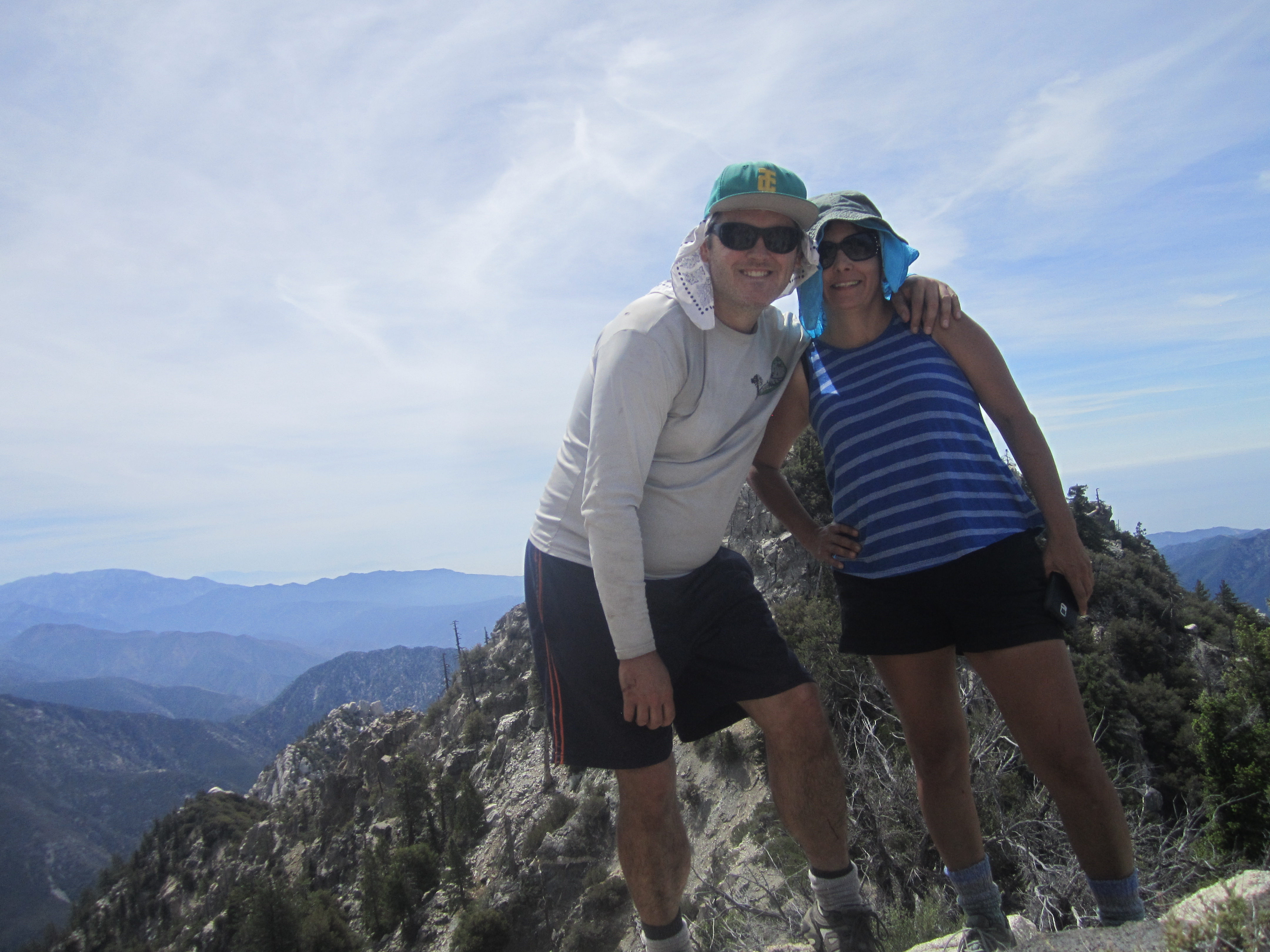
But not before taking the obligatory selfie.
I had hauled 3.5 liters of water onto the ridge and drank most of it by the time we returned to the Twin Peaks summit. While I was snoozing under a tree, Cecelia discovered the register tucked under a big boulder. She signed it, and I used the paper and pencil to leave a note for Willie, along with some water and a Clif bar, just in case he was having trouble.
Around 5pm Cecelia and I strolled back into camp at Twin Peaks Saddle.
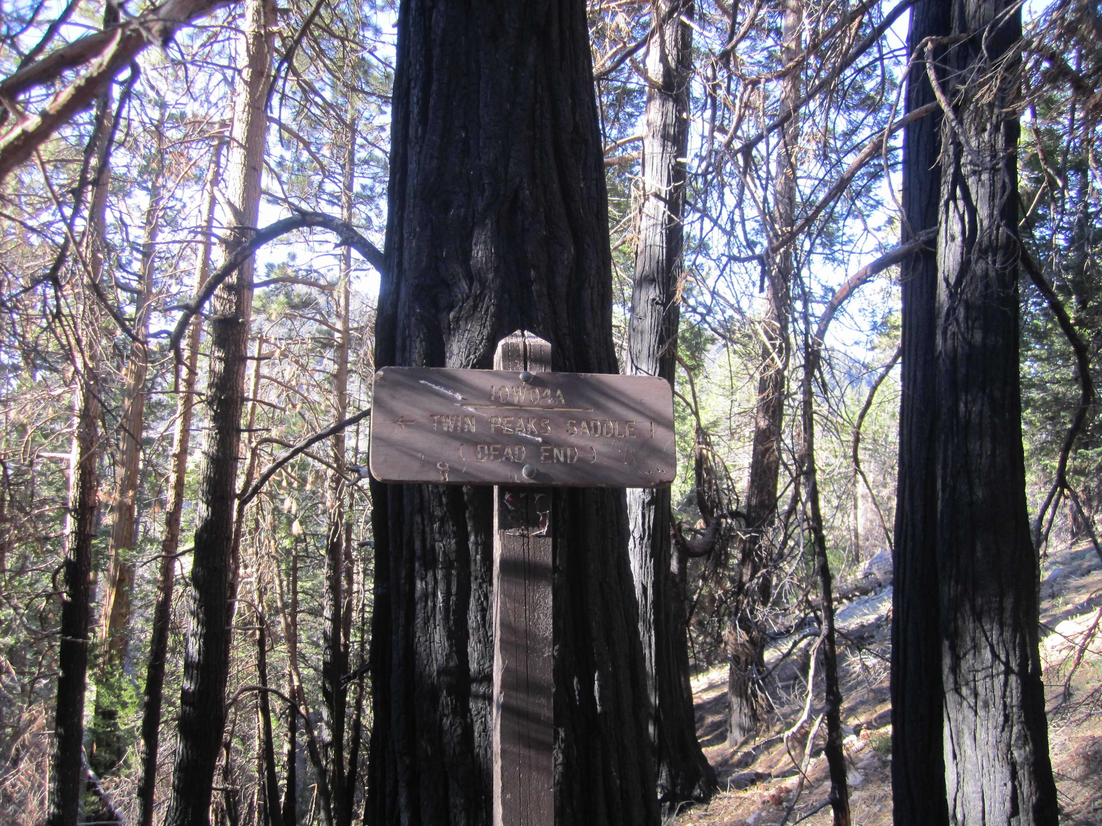
I was completely out of water, and felt completely dehydrated. So while Cecelia rested in the tent, I wandered over to the previously mentioned pathetic trickling water source and took forever collecting and treating four liters. While the flow was slowly pouring into my bottle, I ventured down the gully and by chance found an old, discarded trail sign. After hauling it out of the gully and placing it beside the trail,
I then finished with the water-gathering and returned to camp.
To my great relief, Willie was sitting down next to our tent. His shirt was torn badly so that it only covered half his torso. And he looked completely spent.
After we last saw him on the ridge, Willie had continued forward. He spent a lot of time bushwhacking, ripping his shirt and his backpack, so that he lost his flashlight and some of his food and other supplies. He tried to bypass a class 5 section but went the wrong way, descending, and then having to reascend, a seemingly endless gully on the north side of the ridge. Deciding to turn around, he then had trouble retracing his route around 6834', despite leaving cairns, and thought he might be spending the night on the ridge and might need a helicopter ride out. Fortunately, he was able to simply go over the top of 6834', and then find his way back with the help of cairns and flags.
We then decided to spend another night at camp, rehydrate, and hike out in the morning. We exited via the trail to Three Points, and, to our great joy, the only real obstacles were a few fallen trees.