

I've also hiked Echo Mountain via the waterfalls, fixed ropes and the West fork of Rubio creek many times. When walking to the fixed ropes, you turn off the main "trail", and every time I've wondered about NOT turning off here, but continuing to climb and eventually (presumably) connecting up to the Lone Tree trail, coming up the forested area from below.
After several half-assed attempts to do this earlier, I put my whole ass into it today, and the result is this:
http://caltopo.com/m/5J49
The plan was to go to the overlook for the big waterfall (Thalehaha?), then continue climbing the ridge until I get to above Leontine falls, then traverse into the East Fork of Rubio creek, and ascend that to connect to the Lone Tree trail just below West Fuji. The use trails peter out very quickly above the turnoff to the ropes, but what there is, generally goes along the ridge instead of traversing to the East Fork. The whole thing is a brushfest, but much more so when trying to traverse.
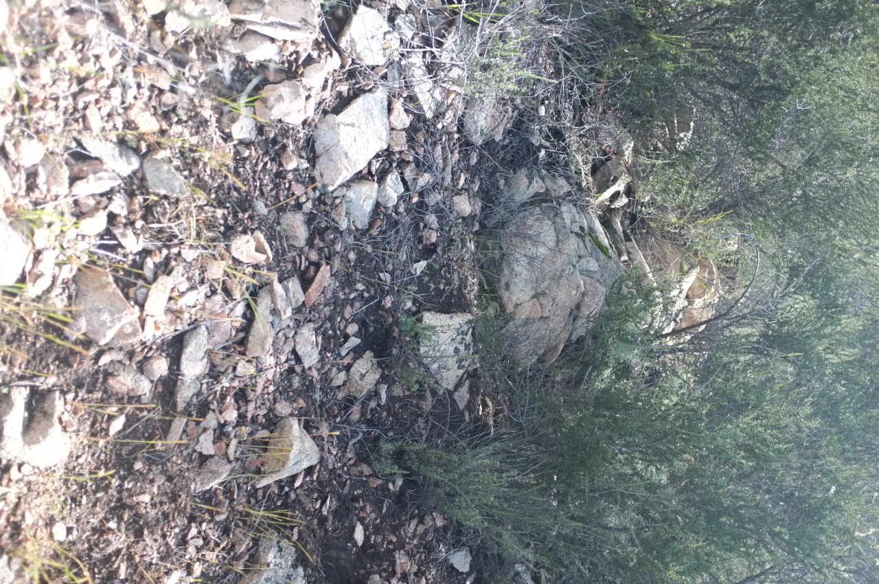
There are a few use paths toward the East Fork around the level of Leontine falls, presumably used by canyoneers. I fought through the brush and climbed over some minor ridges over some exceptionally poor rock.
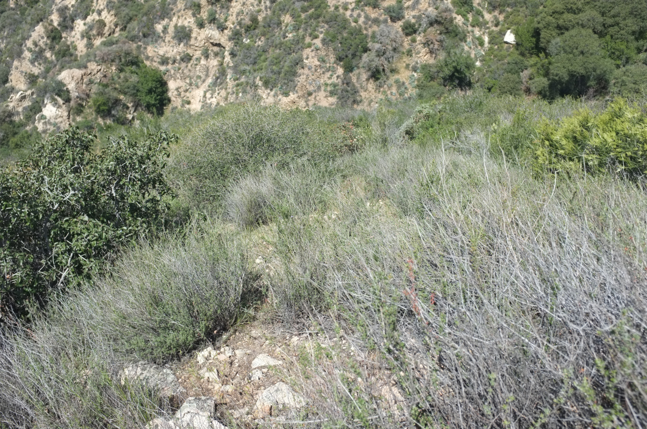
There's a clear area here and there:
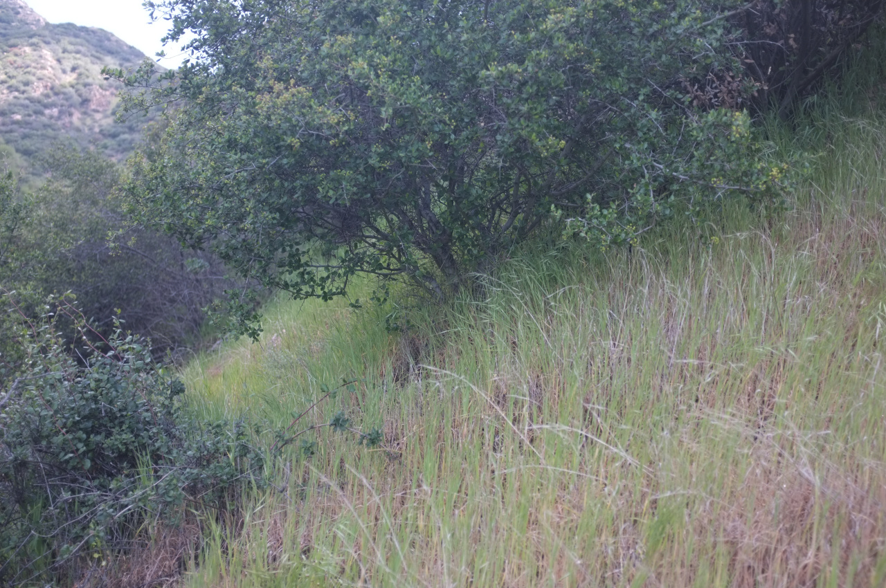
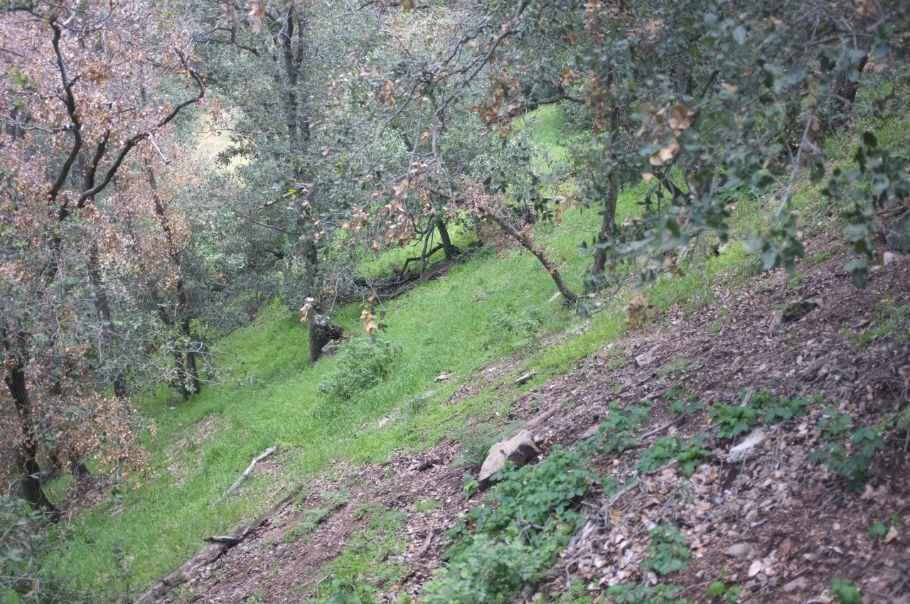
Eventually you get into the grass and forest, just like below West Fuji:
Looks like somebody is building a trail here. There're some flags around, and a pickaxe-like tool was propped by a tree:
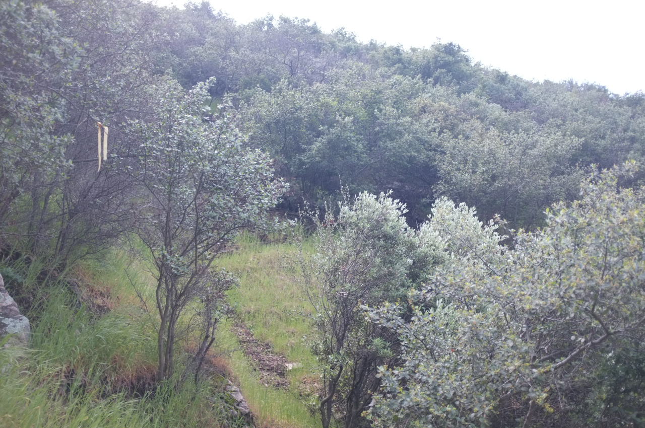
Does anybody know what the plan is for the trail? As you climb, it gets nicer
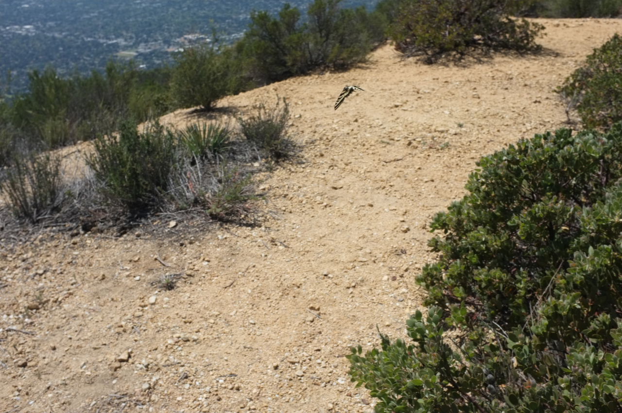
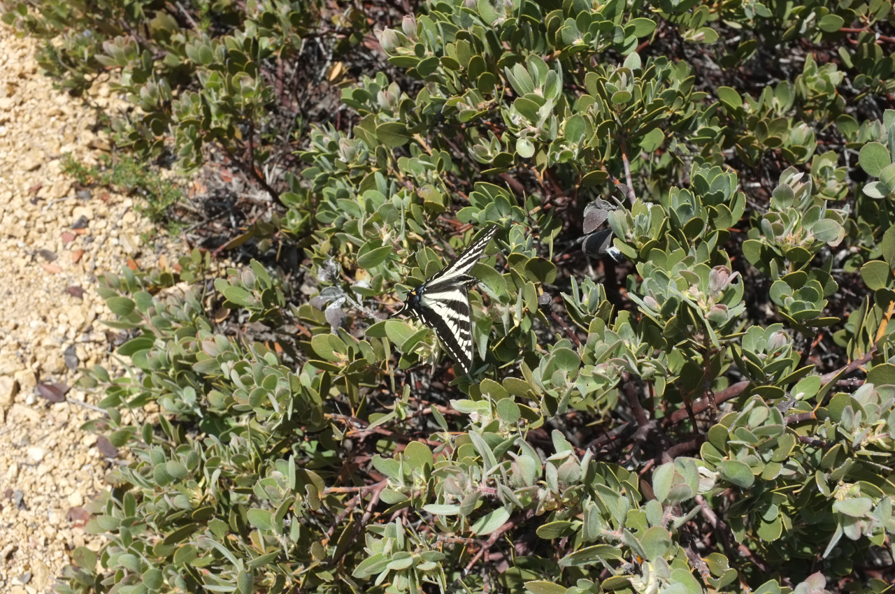
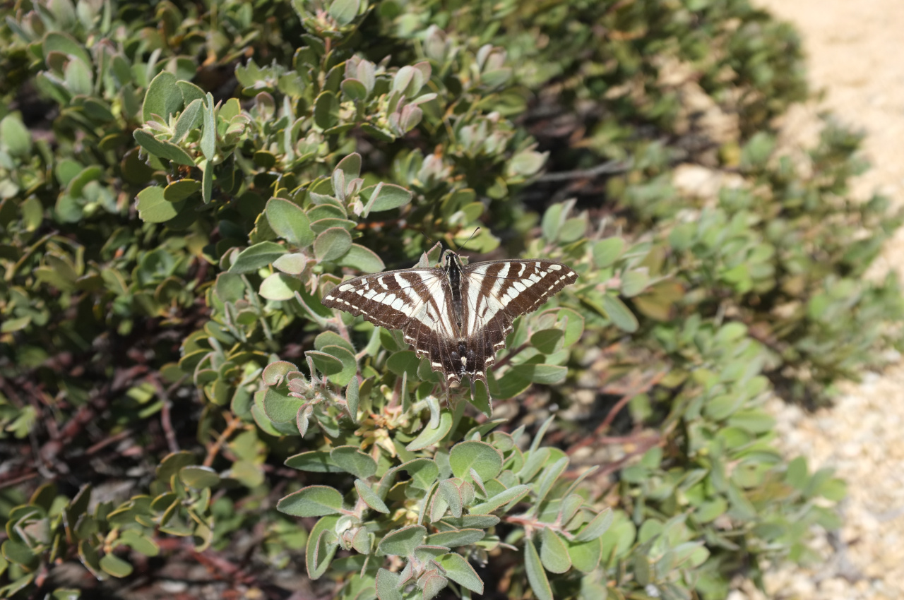
And then you hit the Lone Tree trail. Lots of butterflies on West Fuji today, and I tried to get a decent photo of some in flight:
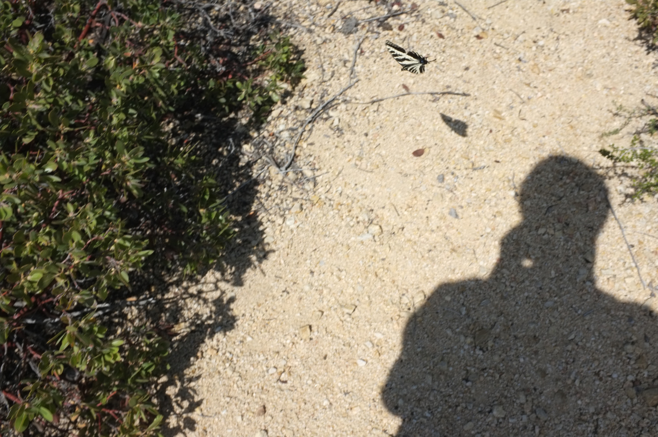
A lot easier when they're holding still
Next time I do this I'll go backwards: go up to West Fuji, then drop into the East Fork by descending in the woods, then bushwhack back down somehow.

