Fox Peak

TRs for the San Gabriel Mountains.
Post Reply
User avatar
Sean
Cucamonga
Posts: 3929
Joined: Wed Jul 27, 2011 12:32 pm

Post by Sean »

I gave Cecelia some options for a Sunday morning hike, and she selected Fox Peak. Neither one of us had been there before. And I didn't know a whole lot about the trail, so we were both excited to do something new.

We arrived at the trailhead (Condor Peak Trail in the Big Tujunga) and were stomping dirt by 8am. From talking with other hikers, and scrutinizing my map, I knew the trail was somewhat long and meandering-ish. So after merely a quarter-mile or so, where the trail begins counter-intuitively descending back toward the highway, instead of continuing generally upward, we decided to abandon it in favor of an interesting and unknown steep ridgeline path complete with fixed ropes in place for safety.

Image

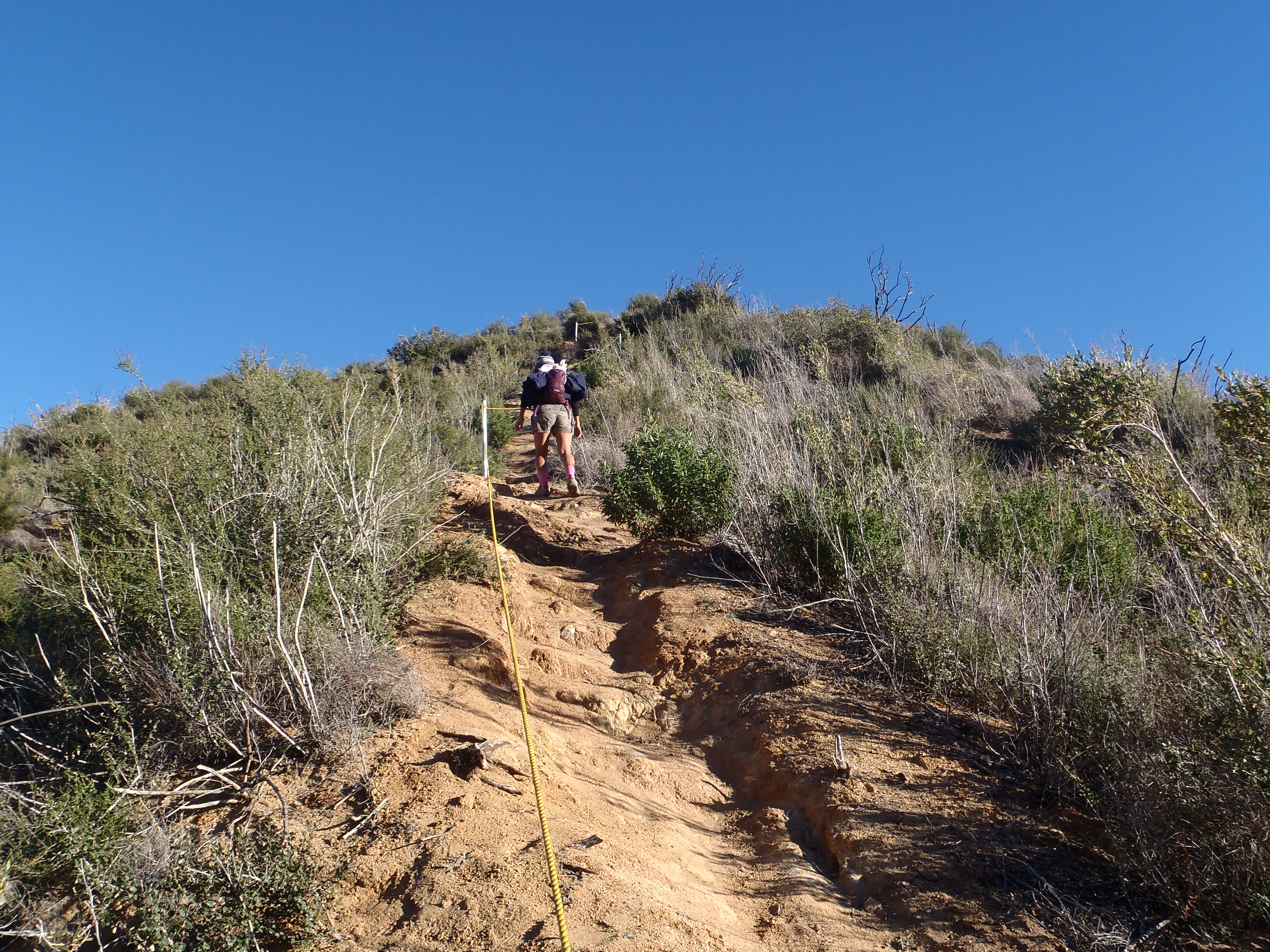
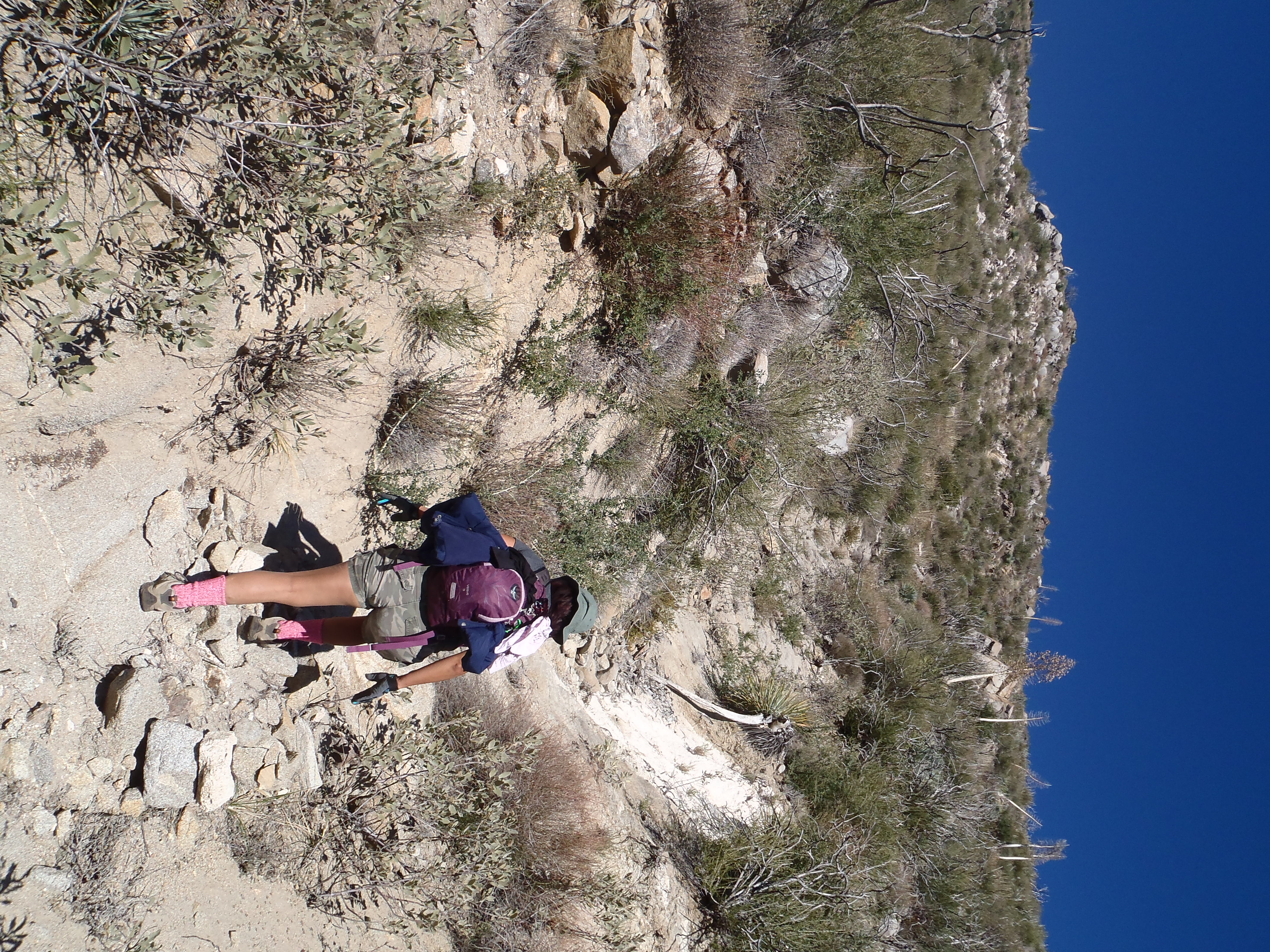
I assumed this route was an established shortcut option for like-minded folks who don't like going down when they should be going up on a trail. And looking at my map, I realized that this ridge would eventually reconnect us with the trail further up. Unfortunately, I did not know that the good use path would turn into a sort of bushwhack along a dangerously narrow spine, from which we were nearly blown by the wind gusts.

Image

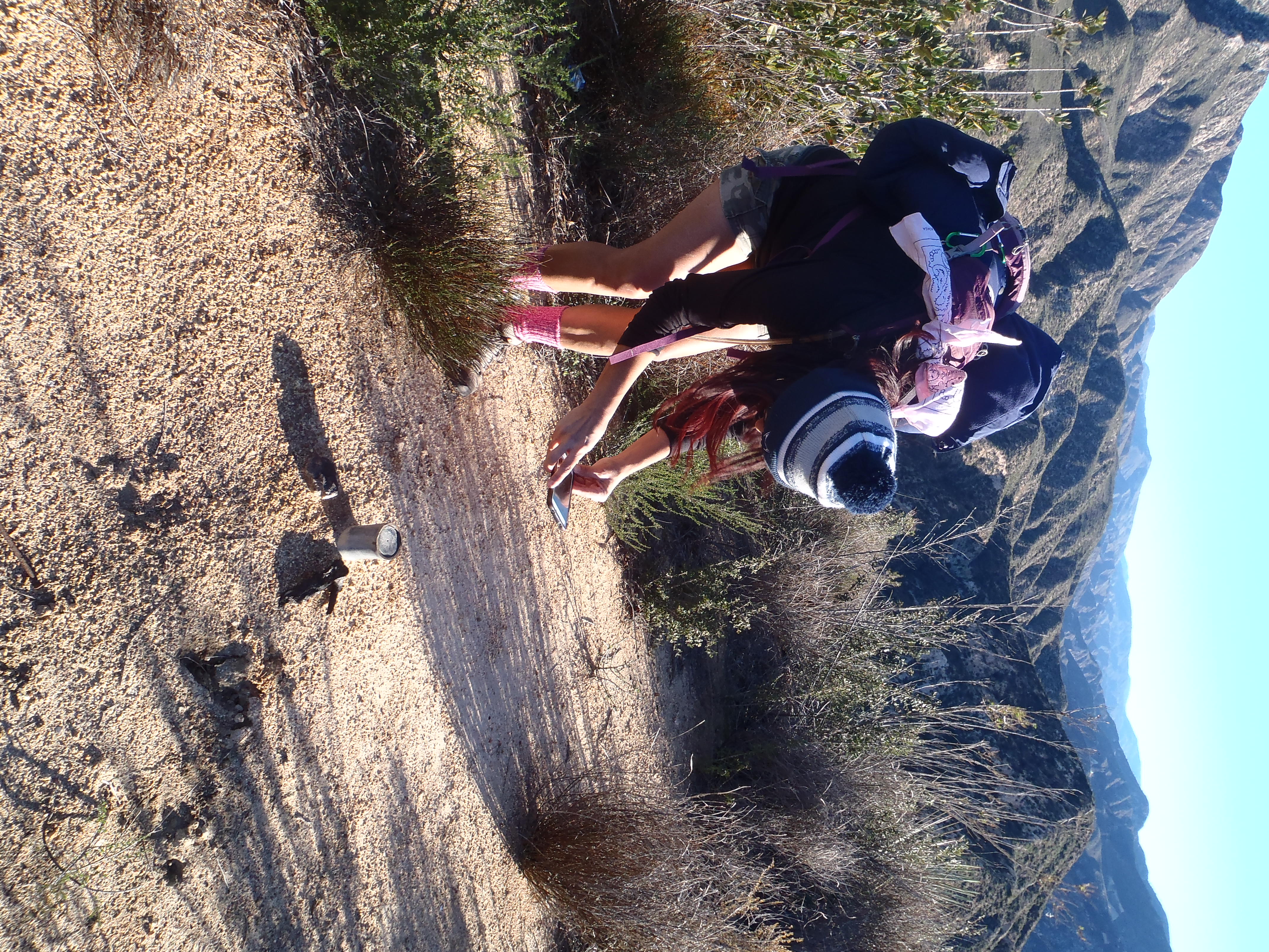
Also, this "shortcut" was slow-going and had some up and down, which probably did not save us much time as opposed to sticking with the trail. Still, it was more exciting than a real trail and Cecelia found a county flood control marker.

Image

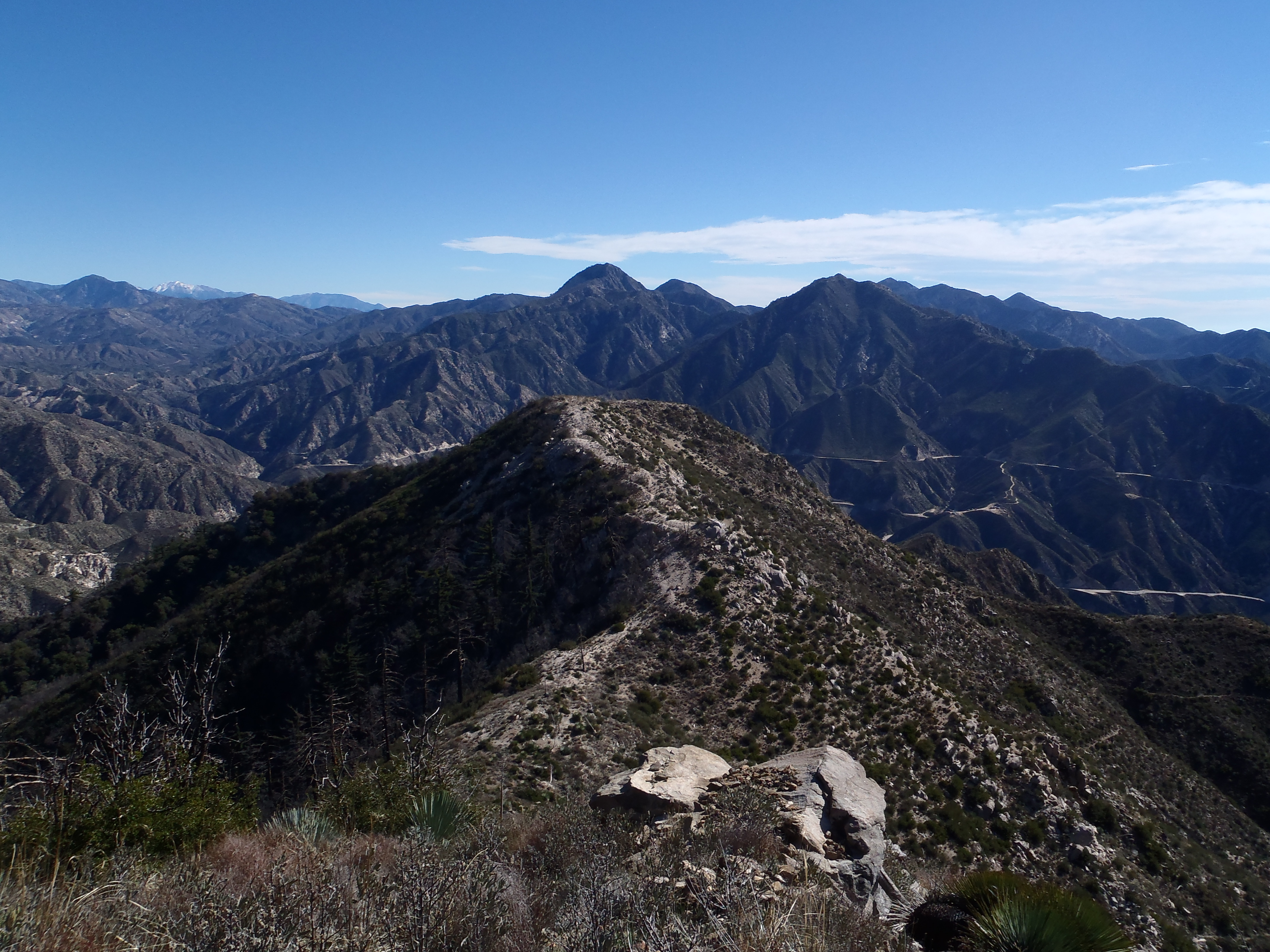
About an hour after starting we reconnected with the trail and looked back at the ridge we just took.

Image

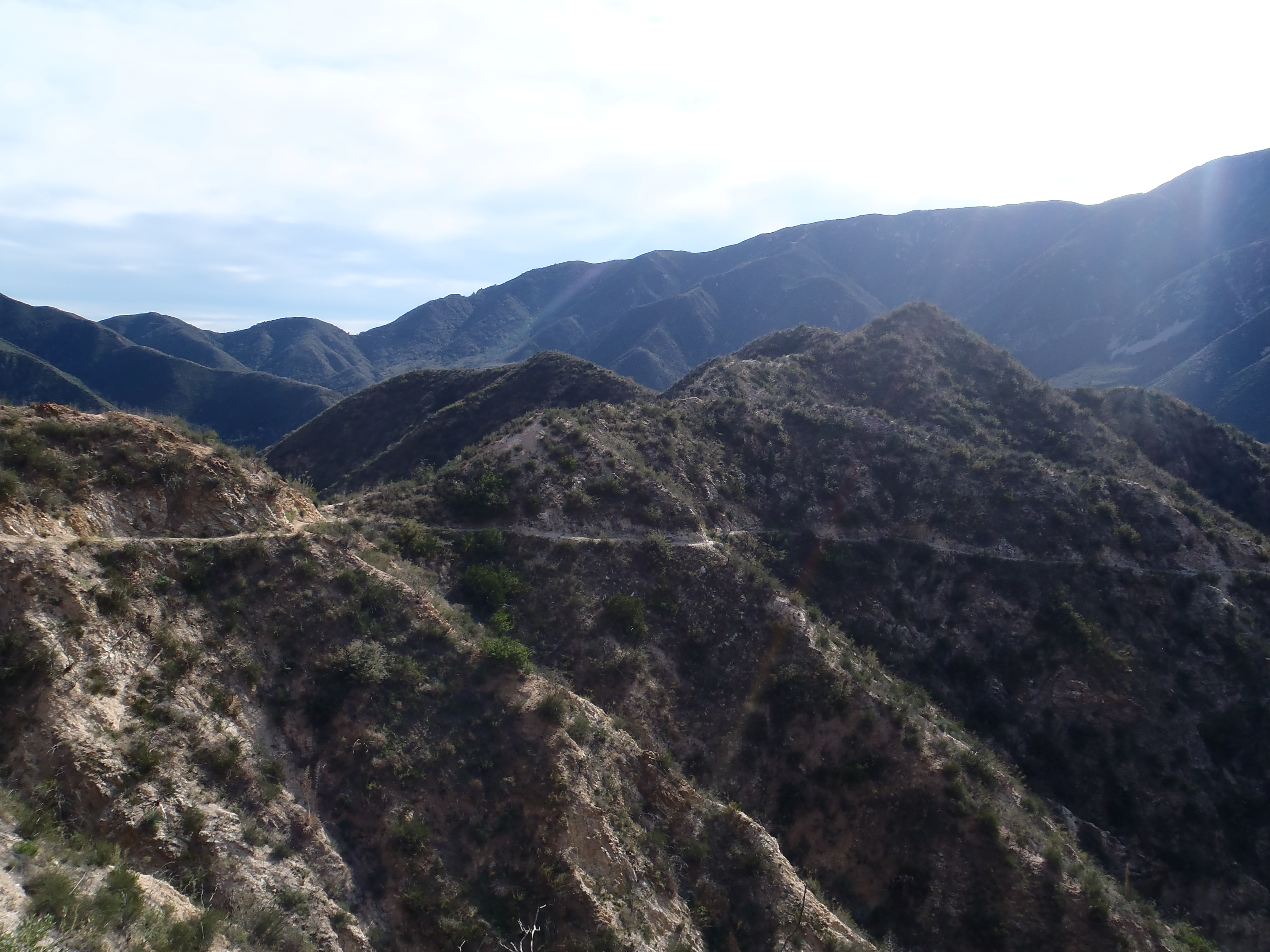
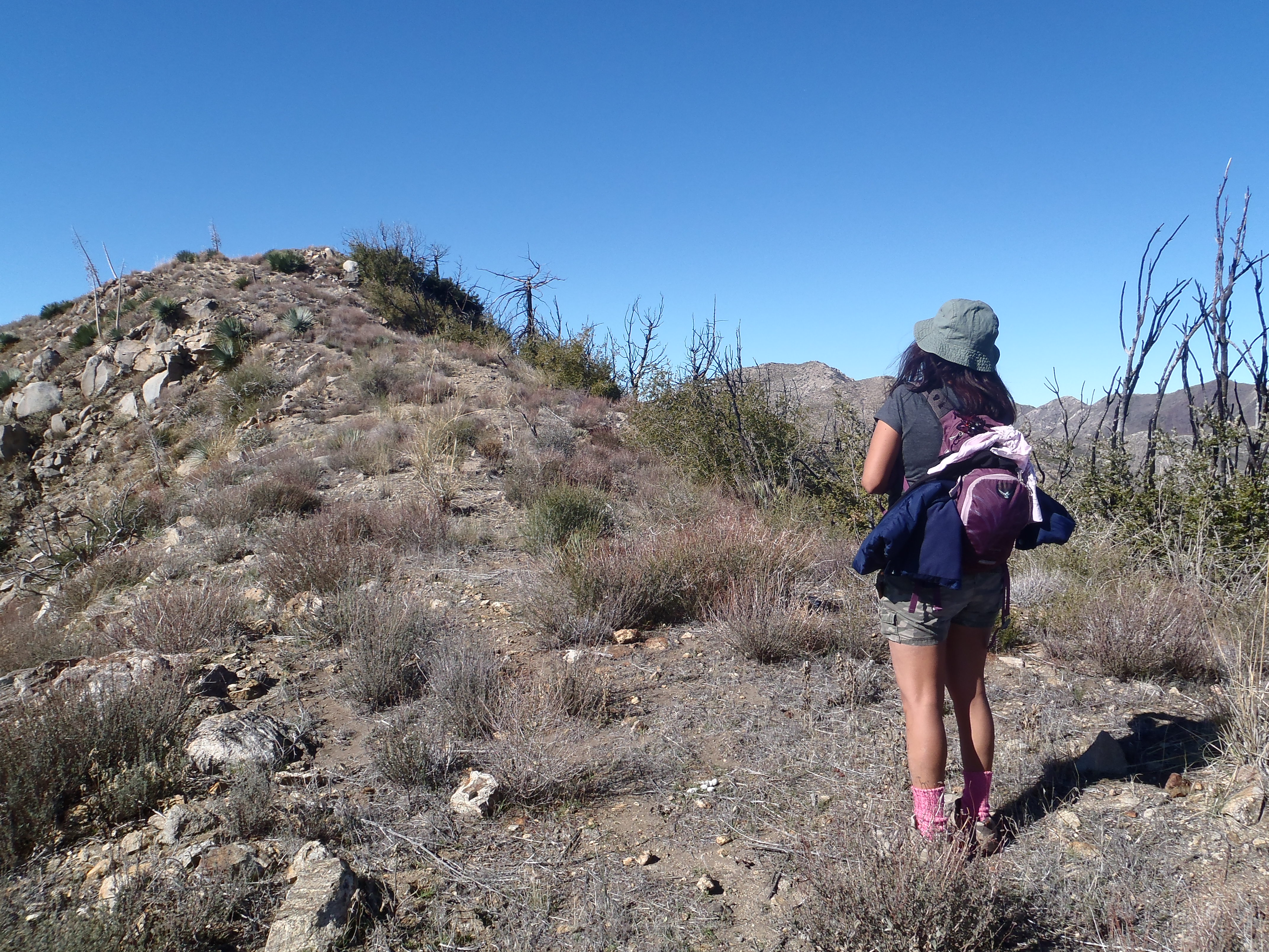
Then we began the long trek on the trail, periodically making guesses as to which distant peak was our objective.

Image

Image

Eventually the trail begins a long crossing of Fusier Canyon, dipping in and out of several gullies where the trail needs some work. In two gullies water was flowing and there was a little poison oak to be avoided, and a couple down trees to be crawled through.

Image

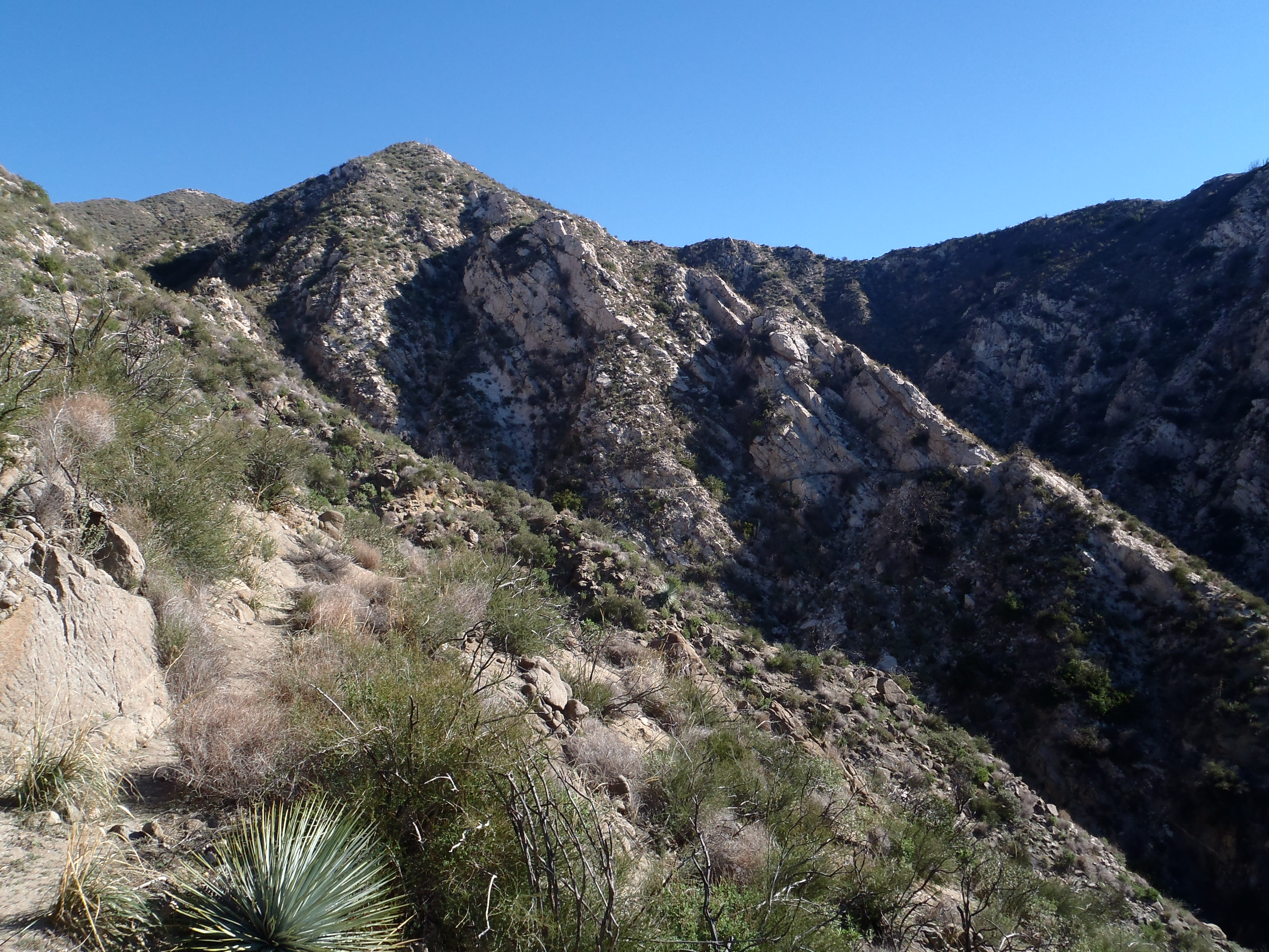
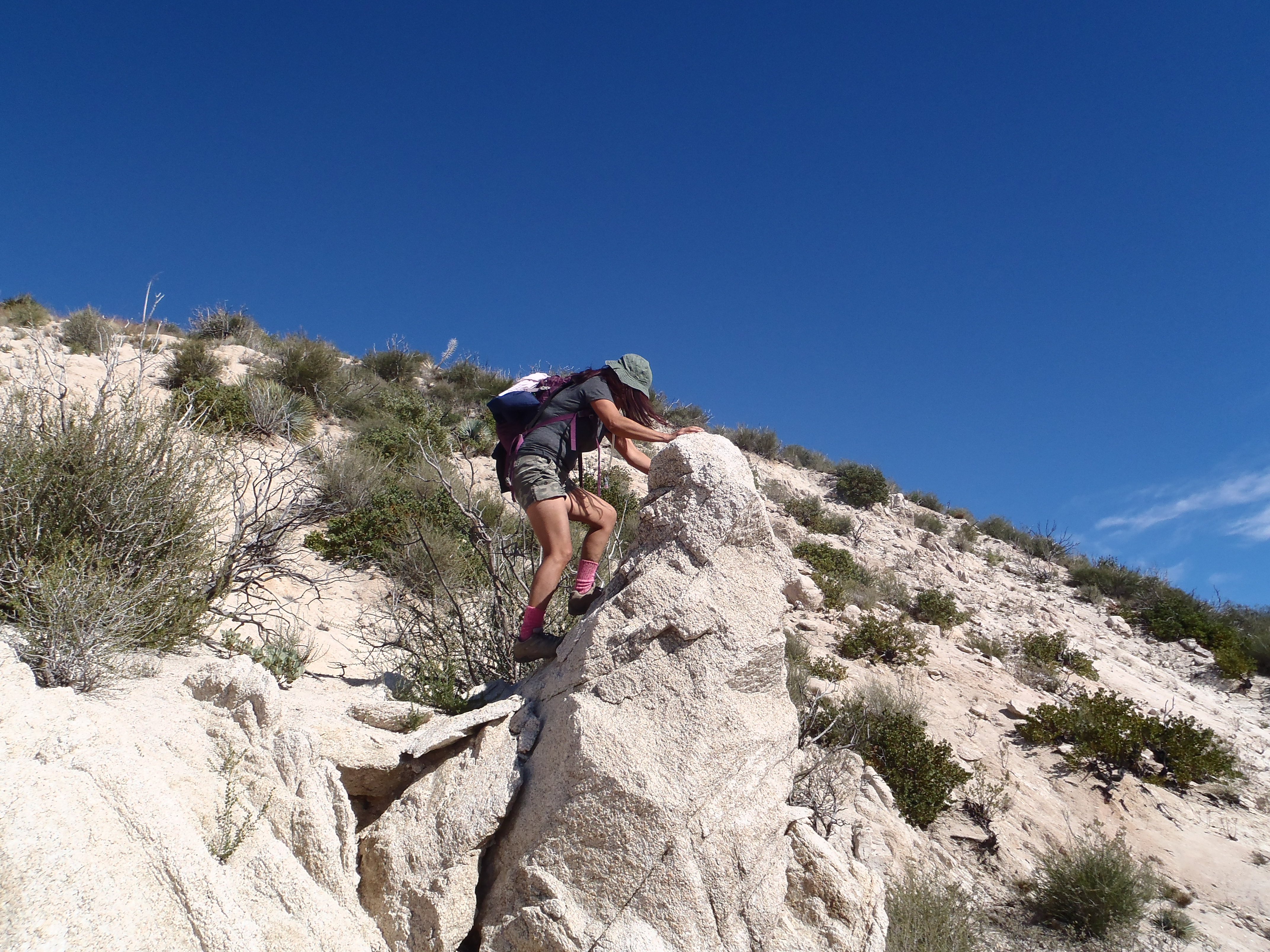
While crossing Fusier, there was a particularly neat section of white rocks, through which the trail has been blasted. Cecelia found a boulder that had to be climbed here.

Image

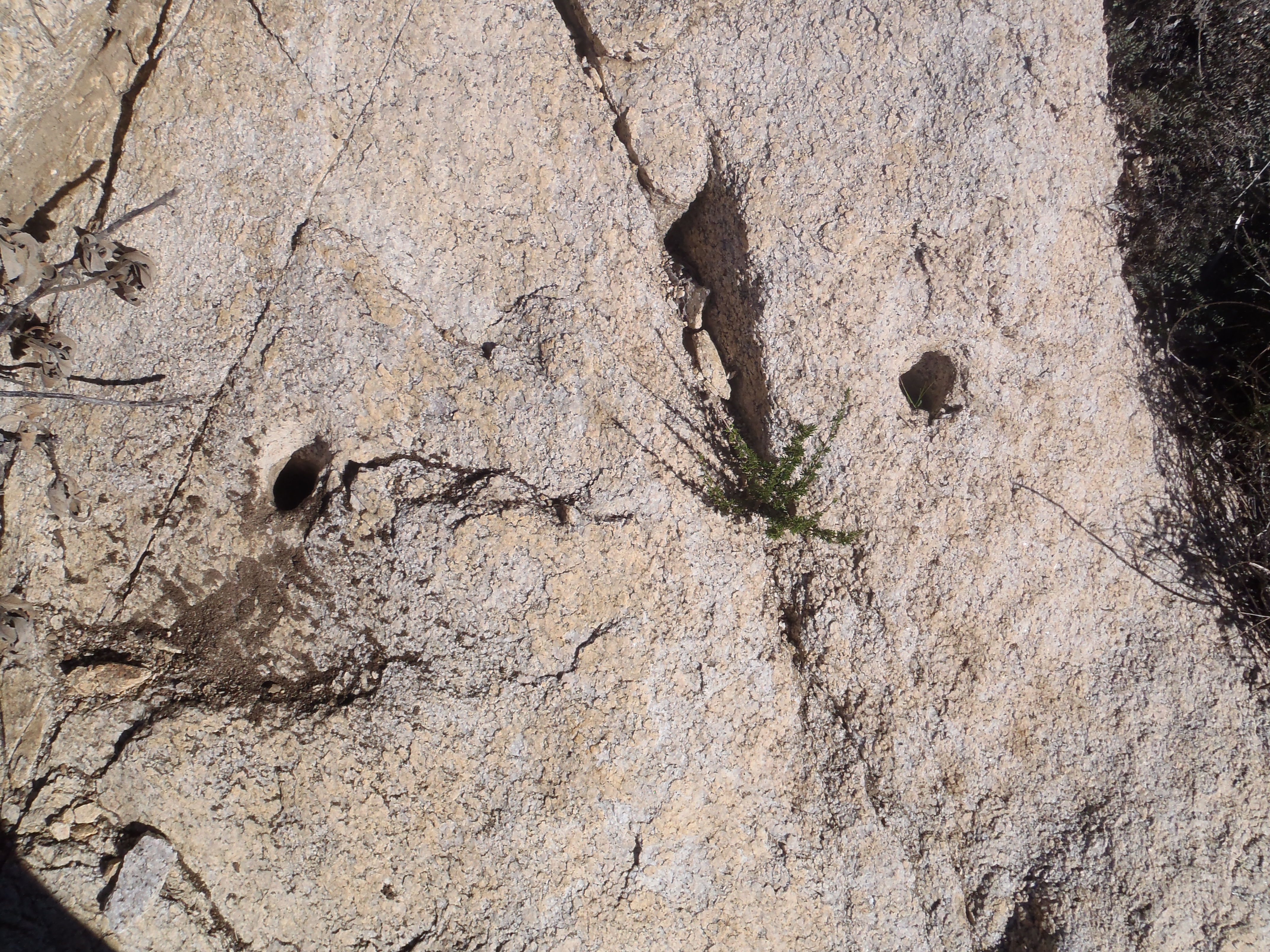
And I found a couple unused blasting holes that simply needed their picture taken.

Image

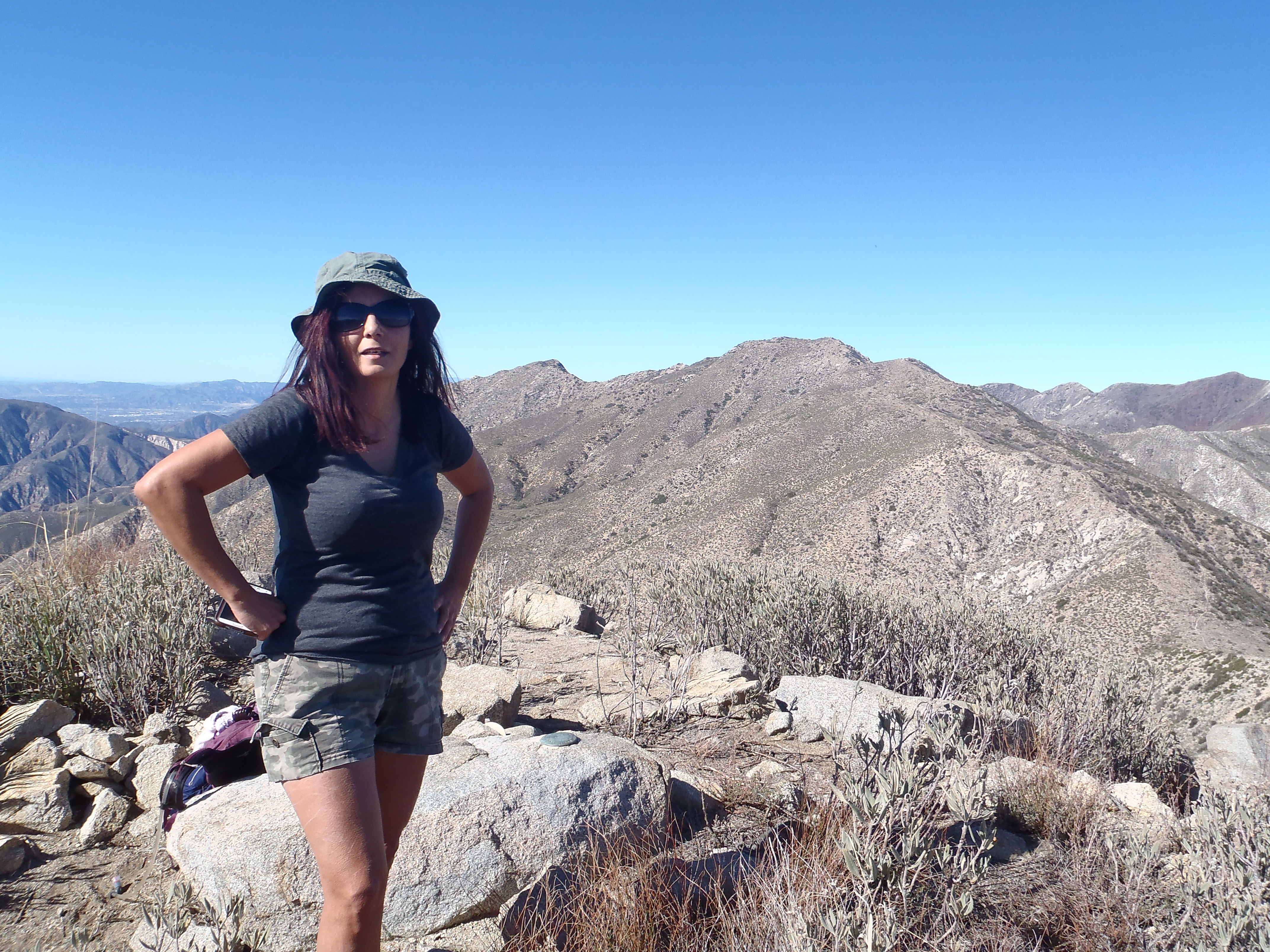
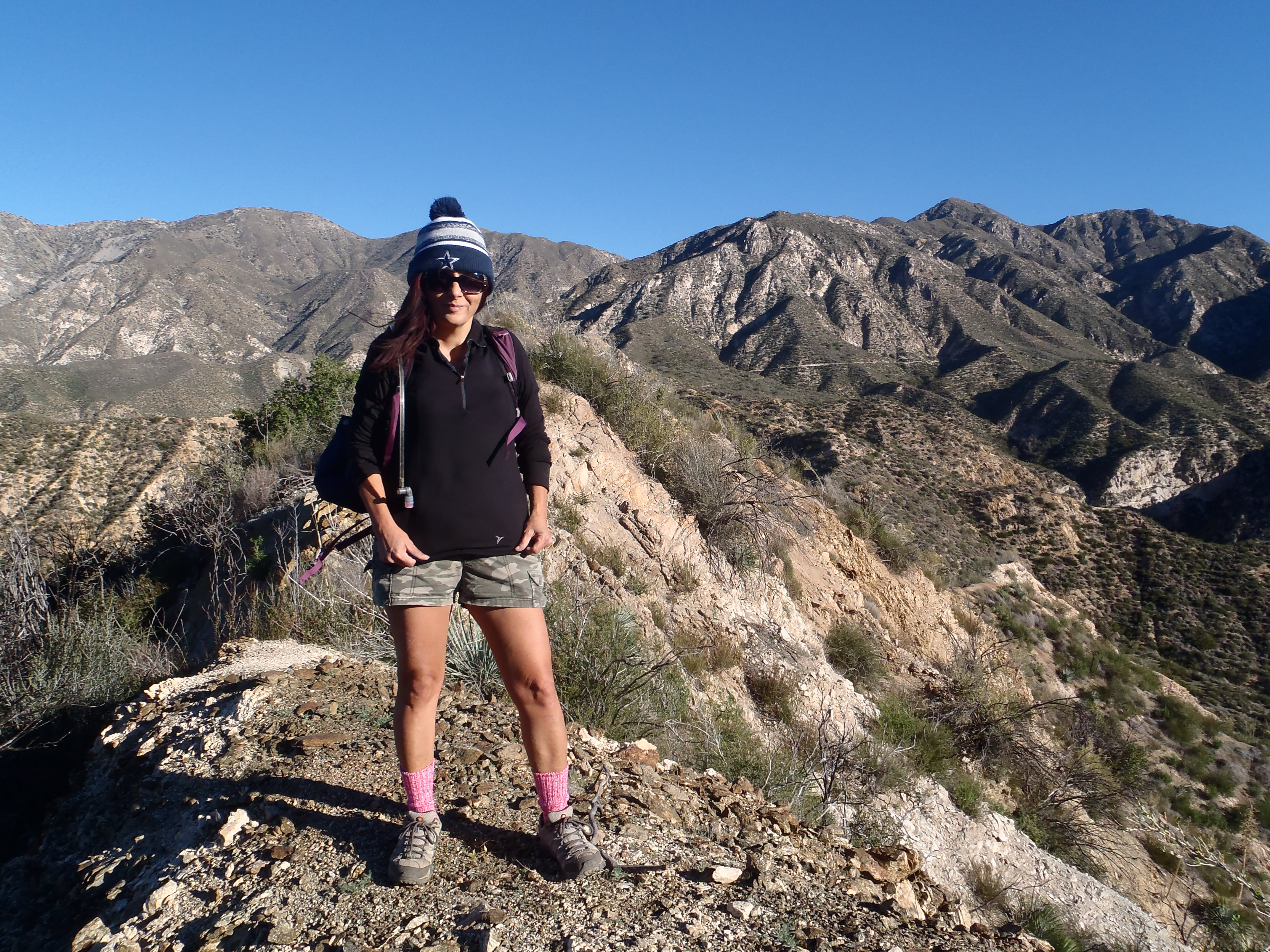
From here the trail climbed out of the canyon up to the opposite ridge, and we suddenly had amazing views of Josephine and Strawberry to the east.

Image

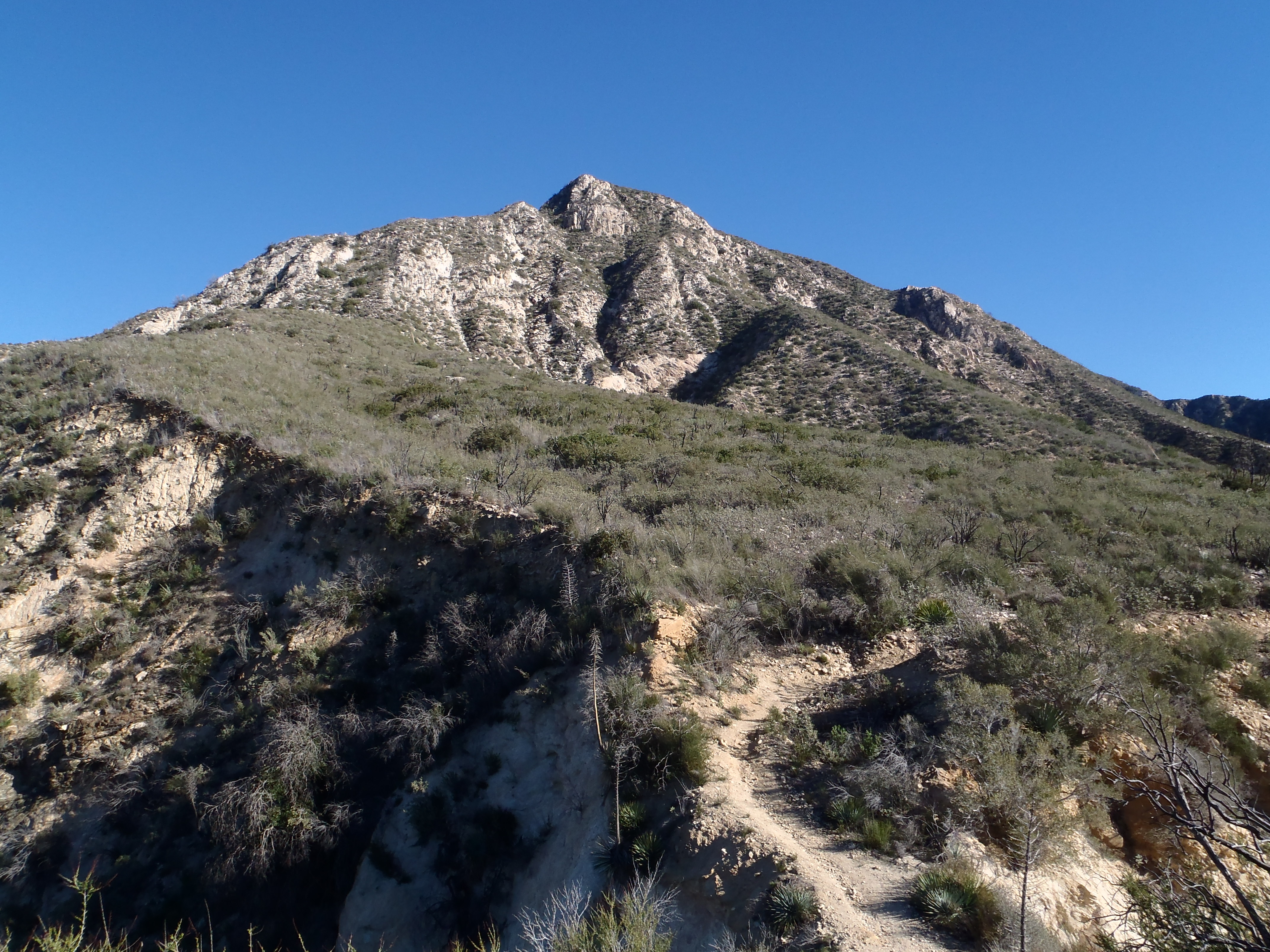
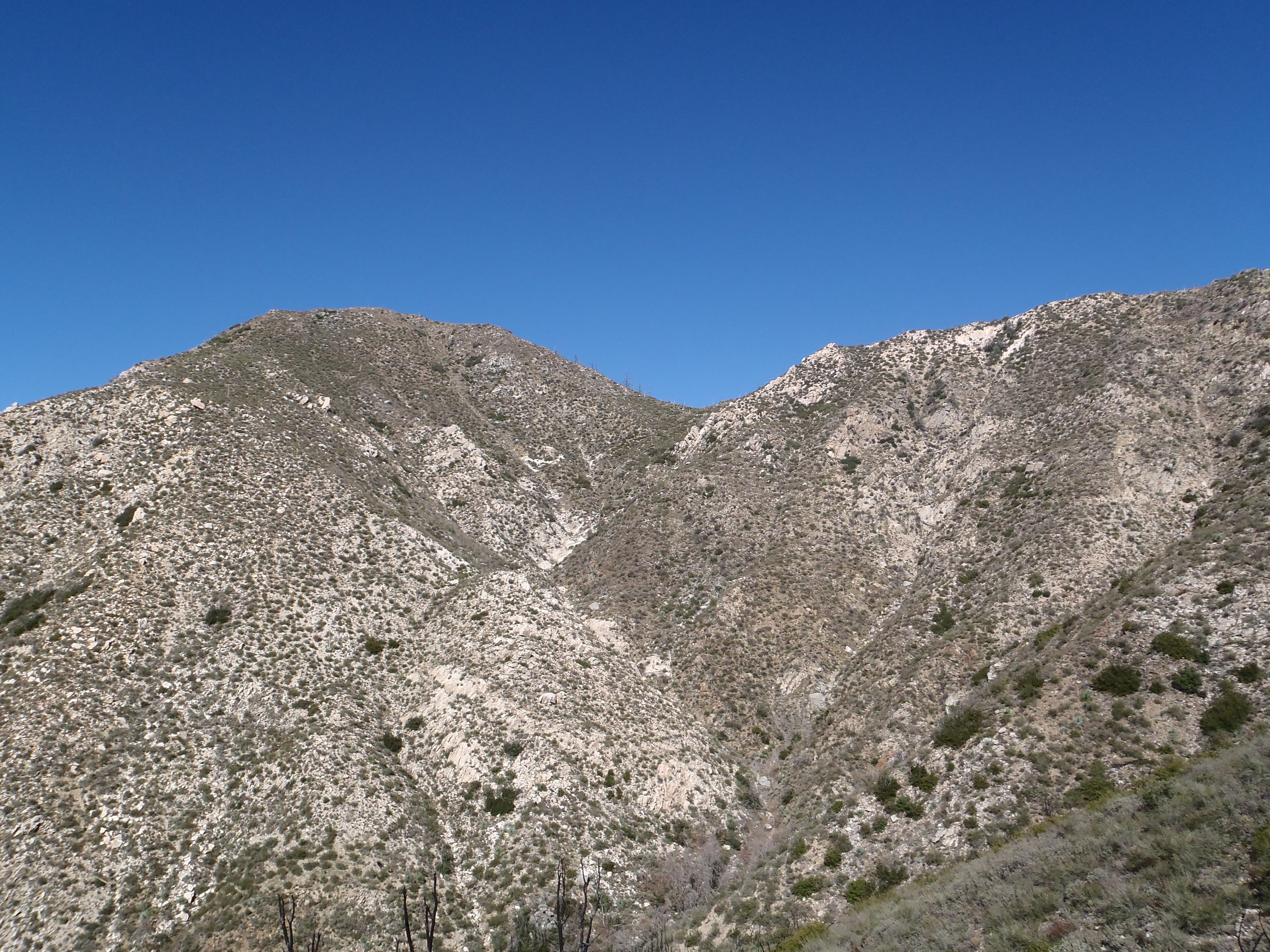
At last Fox Peak came into view.

Image

And after seeing nobody else for hours, a lone man came down the trail. He had a look of omniscience in his eyes, and obviously he was sent to this faraway place for the sole purpose of explaining to us the best way to ascend Fox.

Using the stranger's advice, we left the trail and went straight up a steep, loose, rock-filled gully on the southeast slope of Fox.

Image

We then cut over to the east ridge

Image

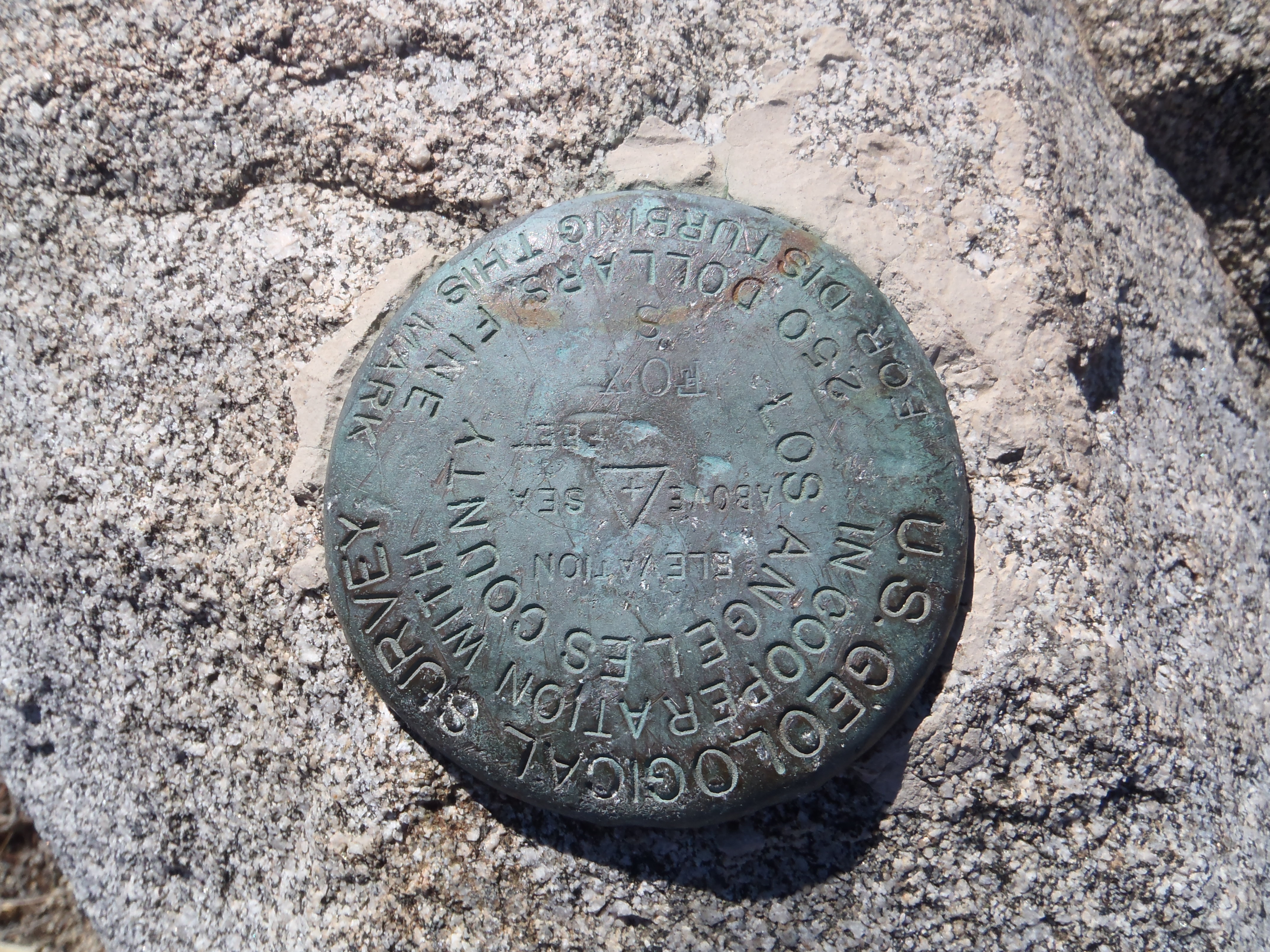
which conveyed us gently to the summit, and a nice boulder for sitting and enjoying lunch.

Image

Image

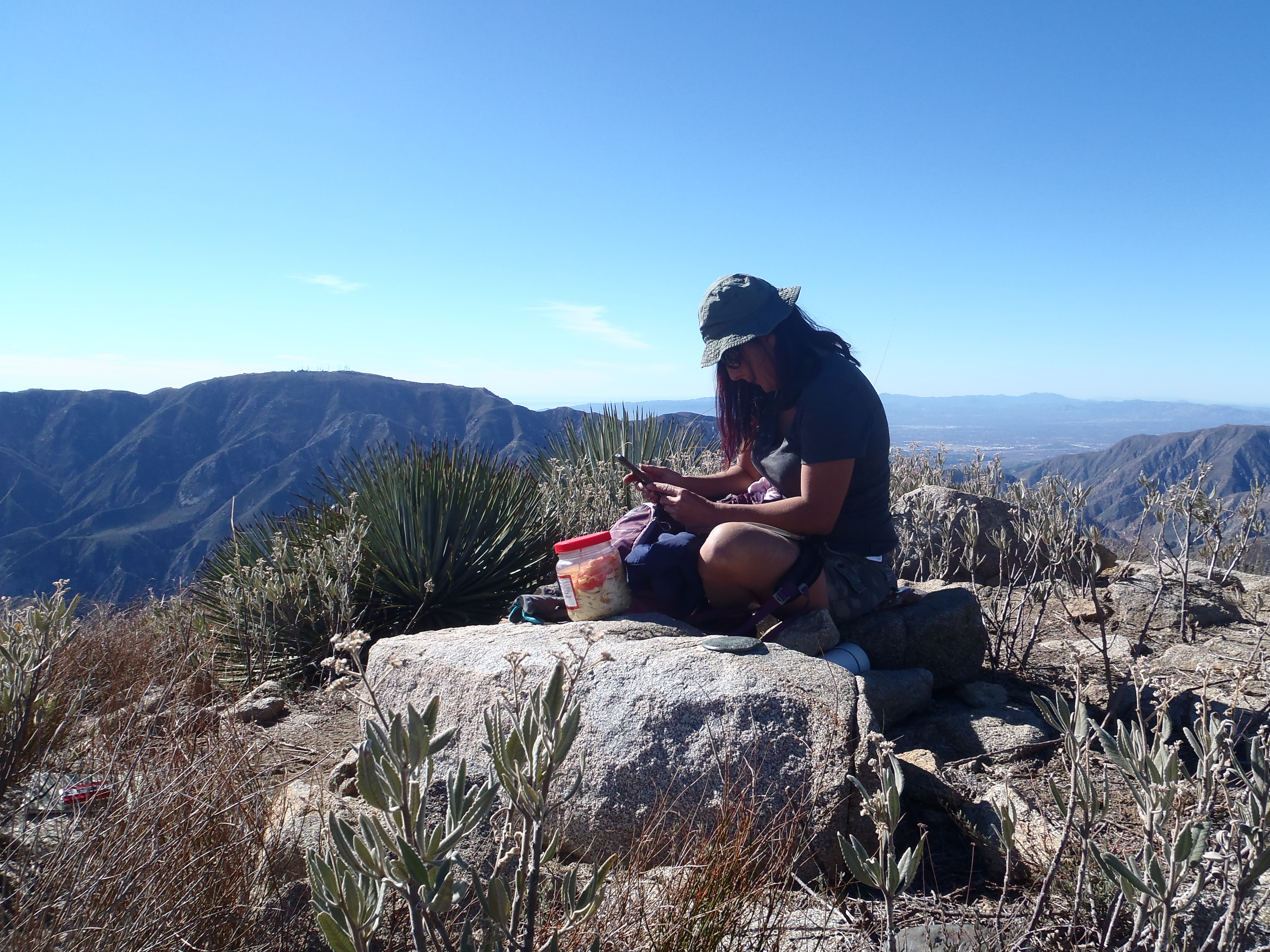
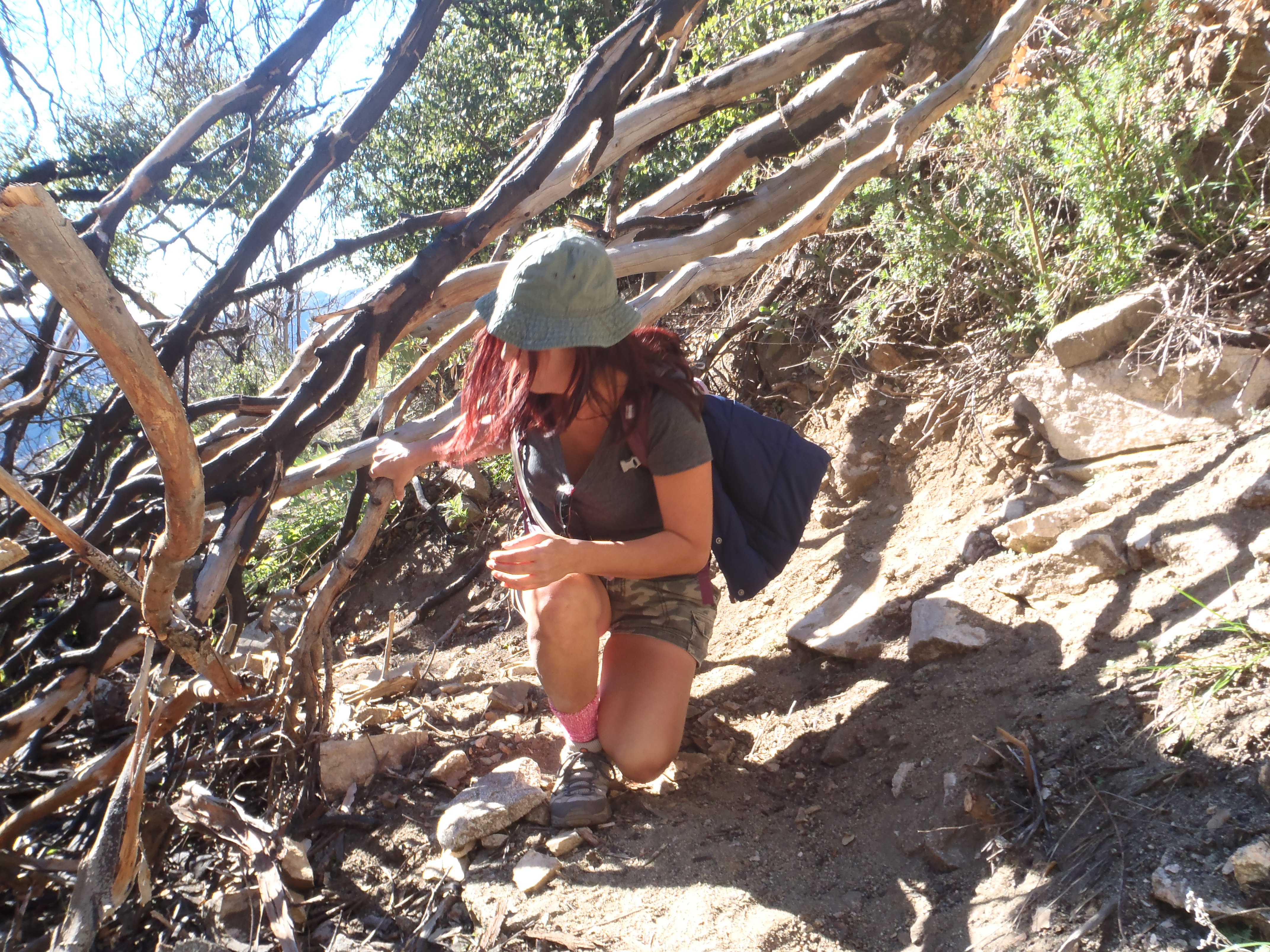
It was 11:45am. Nearly four hours to the summit. Both of us had absorbed blows from yucca spines and various thorny objects. But it was worth it to bag Fox Peak and enjoy the beautiful day in the wilderness.

Image
User avatar
Uncle Rico
Posts: 1413
Joined: Thu Mar 20, 2008 7:48 pm

Post by Uncle Rico »

You are the king of shortcuts Cucamonga Man, but it's completely understandable when it comes to the Fox Peak trail.

Is that gully you took on Fox's southeast slope the one that puts you in the saddle between Fox and the point to its immediate east as shown in your 11th pic (the one captioned "At last Fox Peak came into view")?
User avatar
Sean
Cucamonga
Posts: 3929
Joined: Wed Jul 27, 2011 12:32 pm

Post by Sean »

Image

There was a cairn at the small gully we ascended. Not much of a use trail, and no more cairns after that. So we went up the gully until it looked good to turn right and gain the ridge a little above the saddle. Our general up-route is the white line. On the descent we took the ridge all the way to the saddle, then bushwhacked straight down to the trail. It wasn't that bad, and is probably the preferred manner of gaining the ridge for those in the know. There was another cairn or two along this obscure path, the red line in the picture.

Another possible route which looked good but we didn't even bother with it, is the blue line, running up a second small gully and topping out closer to the peak.
User avatar
tekewin
Posts: 1238
Joined: Thu Apr 11, 2013 5:07 pm

Post by tekewin »

Pretty cool way to get up there. I followed the trail all the way around to the saddle on the other side and came up that ridge. The boring way. I remember the trail seemed endless on the way down, hugging every twist in the canyon
User avatar
AW~
Posts: 2059
Joined: Mon Oct 01, 2007 12:00 pm

Post by AW~ »

Worst trail in the big tujunga? :D I think maybe suckers trail is a proper name for it.
User avatar
HikeUp
Posts: 3905
Joined: Thu Sep 27, 2007 9:21 pm

Post by HikeUp »

Tough trail to lay out if you think about it.

3000 foot gain over 12 to 14 miles works out to less than 250 ft/mile gain.

Typical San Gabriel trails are laid out at 500 to 1000 ft/mile gains (ideal IMHO is 750 ft./mile), and are typically all up or all down between car and peak.

If you want to shorten it then you need to lay out a rollercoaster route consisting of steeper ups AND downs on the way in AND the way out. So you end up with 4500 feet total gain over 8 miles total (totally guessing at the numbers - just illustrating the concept).

[rant]
So...to please everyone, you choose the 250 ft./mile layout (i.e. pandering to the lowest common denominator). Which leads to "cutting of the switchbacks" behavior, which leads to numerous ugly shortcuts with fixed ropes and erosion gullies, all done by those manly men and womanly women who are elitists and must show off their hiker bonafides to other womanly men and manly women.
[/rant]
Post Reply