A Whole Lotta Bear Canyon (and some Brown Mountain)

TRs for the San Gabriel Mountains.
Post Reply
User avatar
Sean
Cucamonga
Posts: 3785
Joined: Wed Jul 27, 2011 12:32 pm

Post by Sean »

Uncle Rico dreamed of scrambling through Bear Canyon, and Tekewin still needed to check Brown Mountain off his Lower Peaks list, so we settled on a route from Red Box to Switzers that would combine these two goals. Also joining us this time would be my friend Henry, and my girlfriend Cecelia.

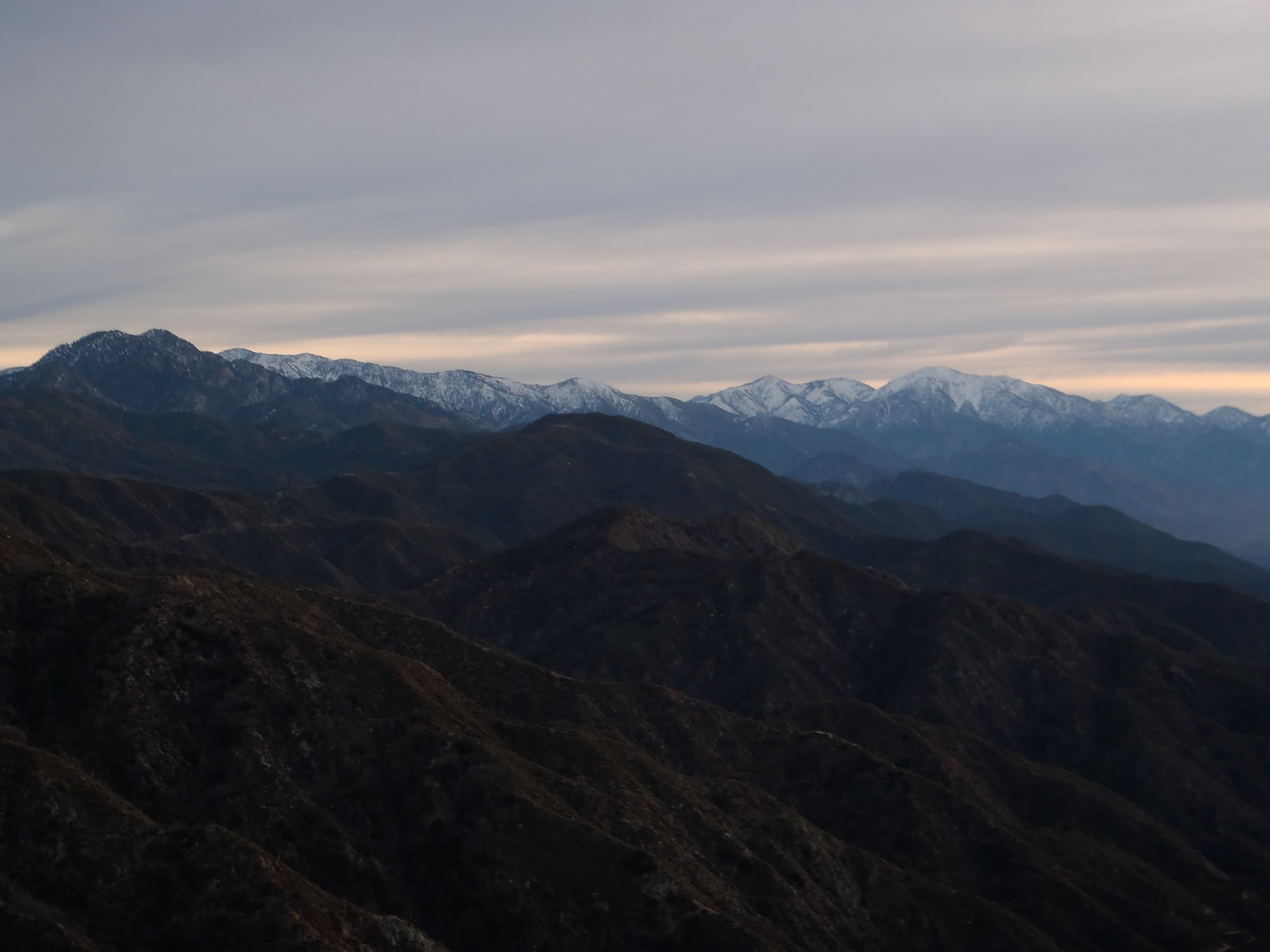
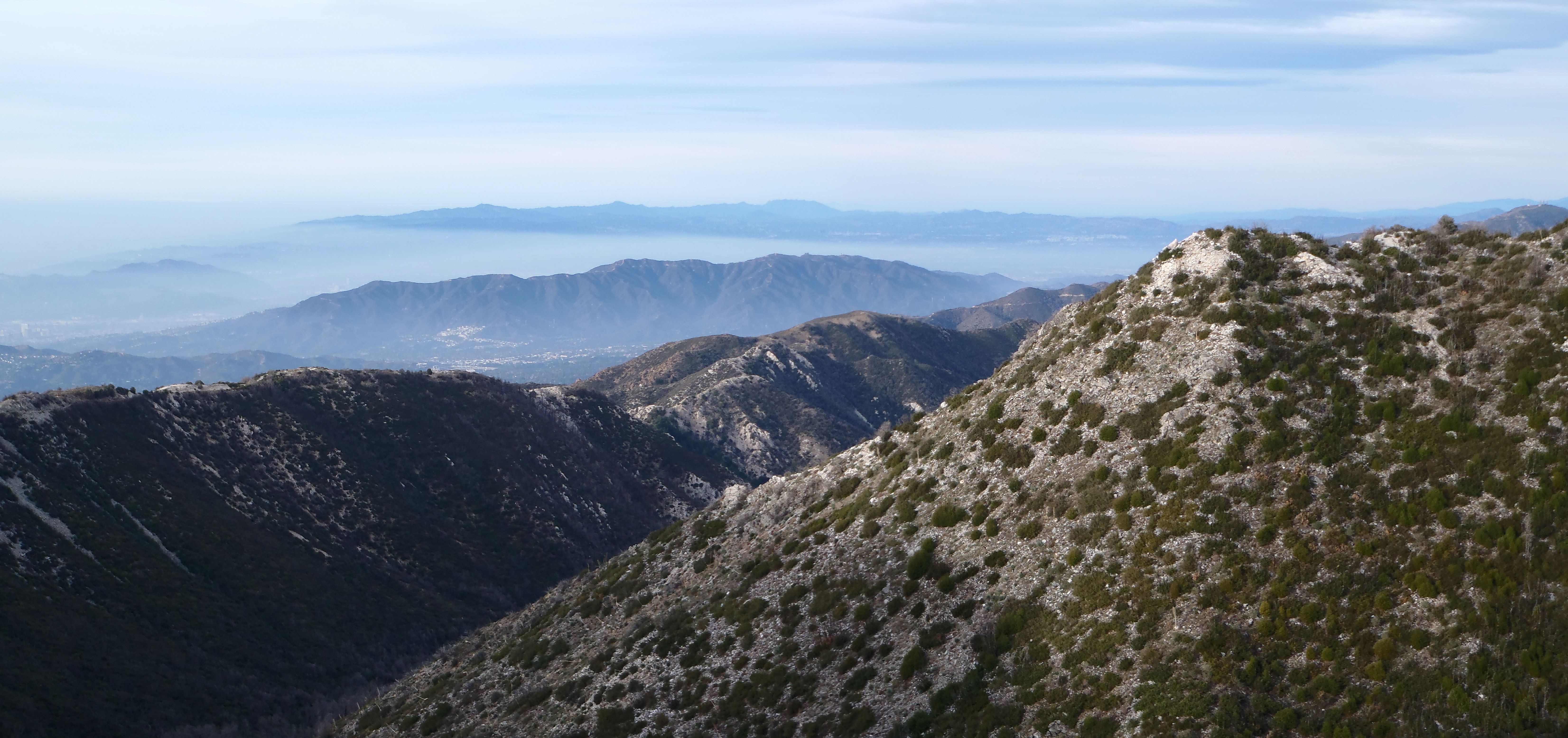
After leaving my car at Switzers, we shuttled over to Red Box and geared up, hitting the trail by 7am. We hopped aboard the Bill Riley Trail and caught a beautiful view of the powdered high country.

Image

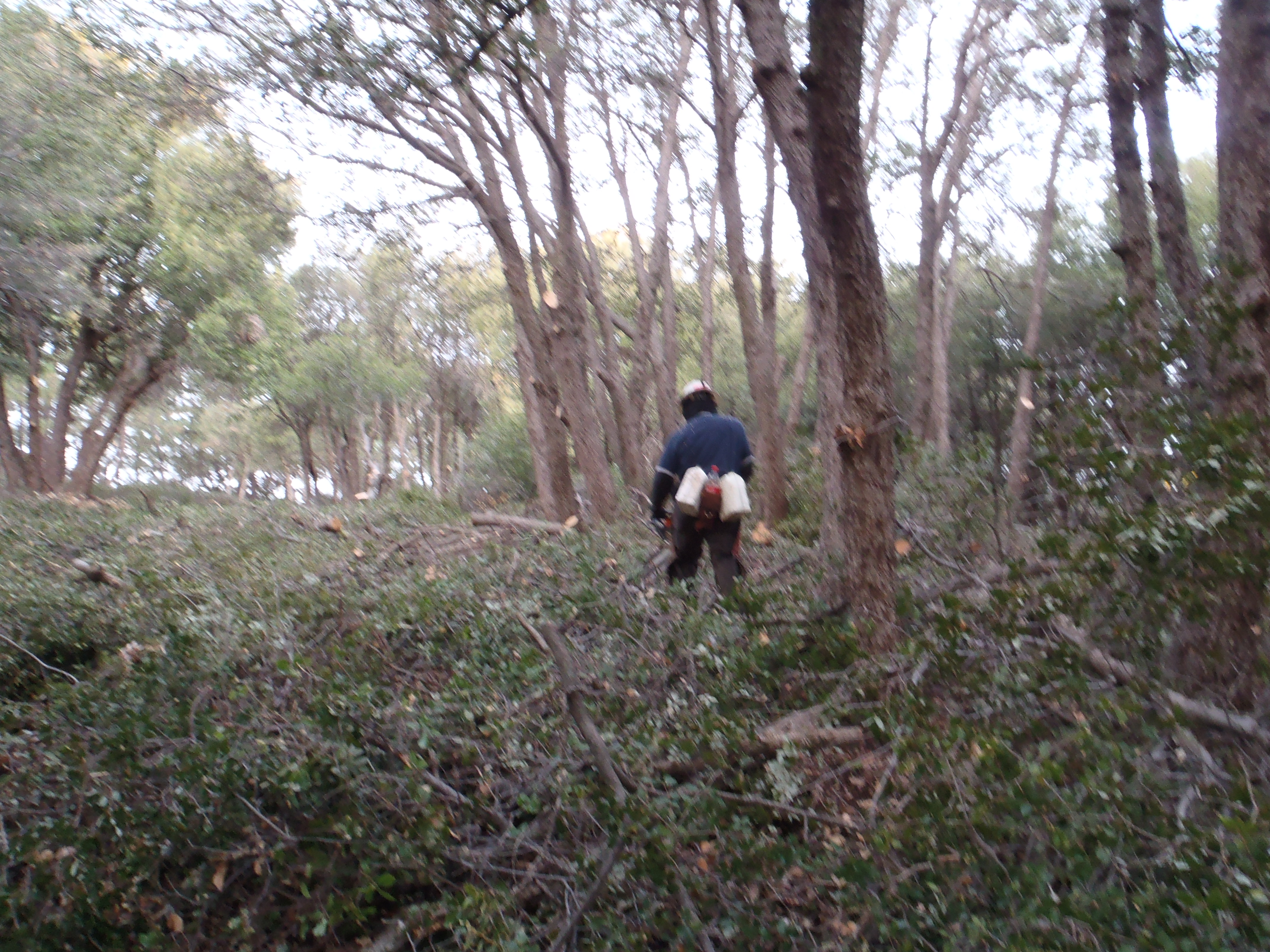
We heard a chainsaw crew hard at work. Early Sunday morning is apparently a good time for trimming everything within fifty feet of the trail.

Image

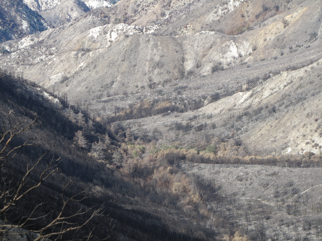
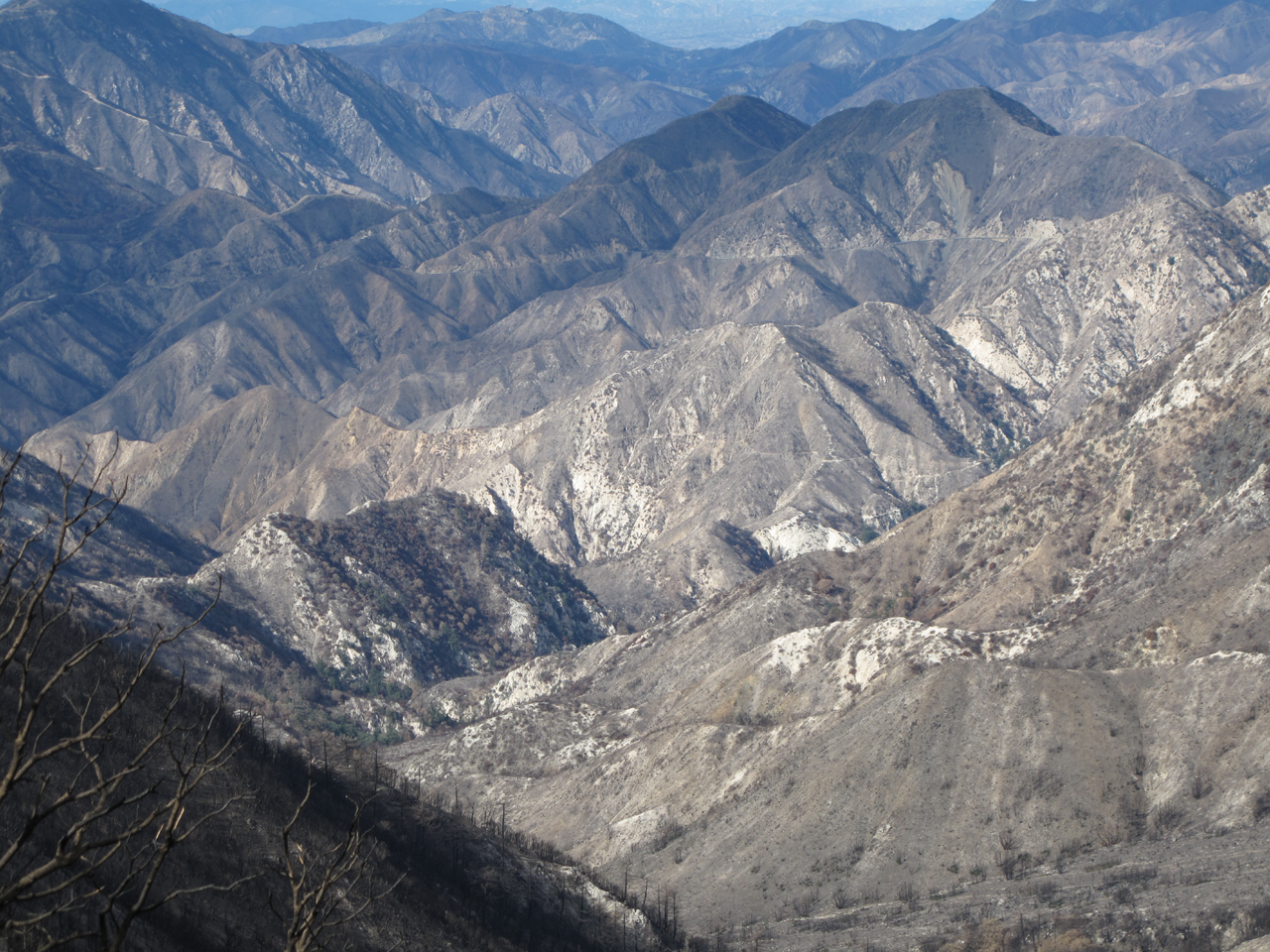
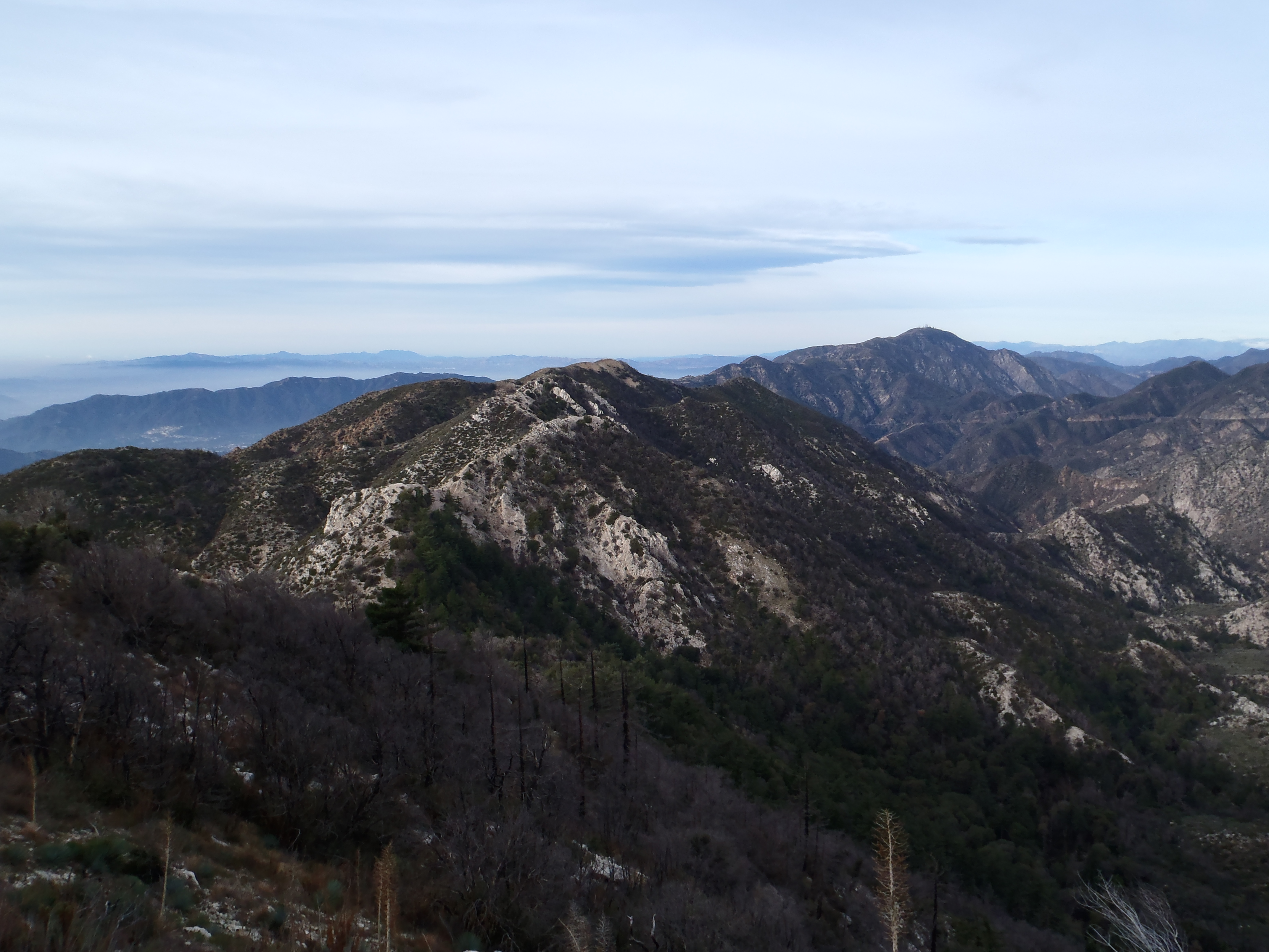
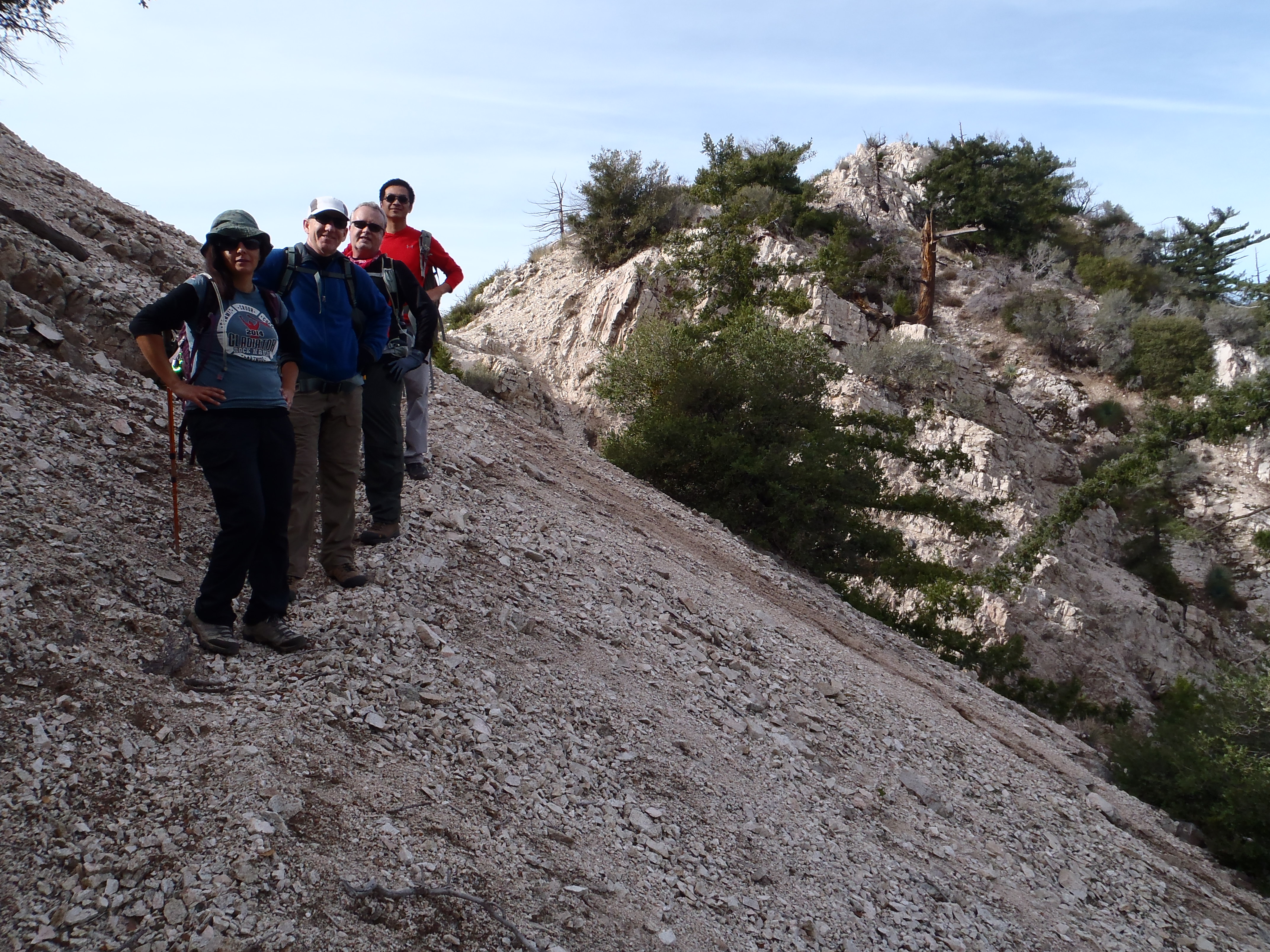
Within an hour or so we hit the San Gabriel Peak/Mt. Disappointment saddle and started down the trail to Markham Saddle, gaining our first view of both Bear Canyon and Brown Mountain.

Image

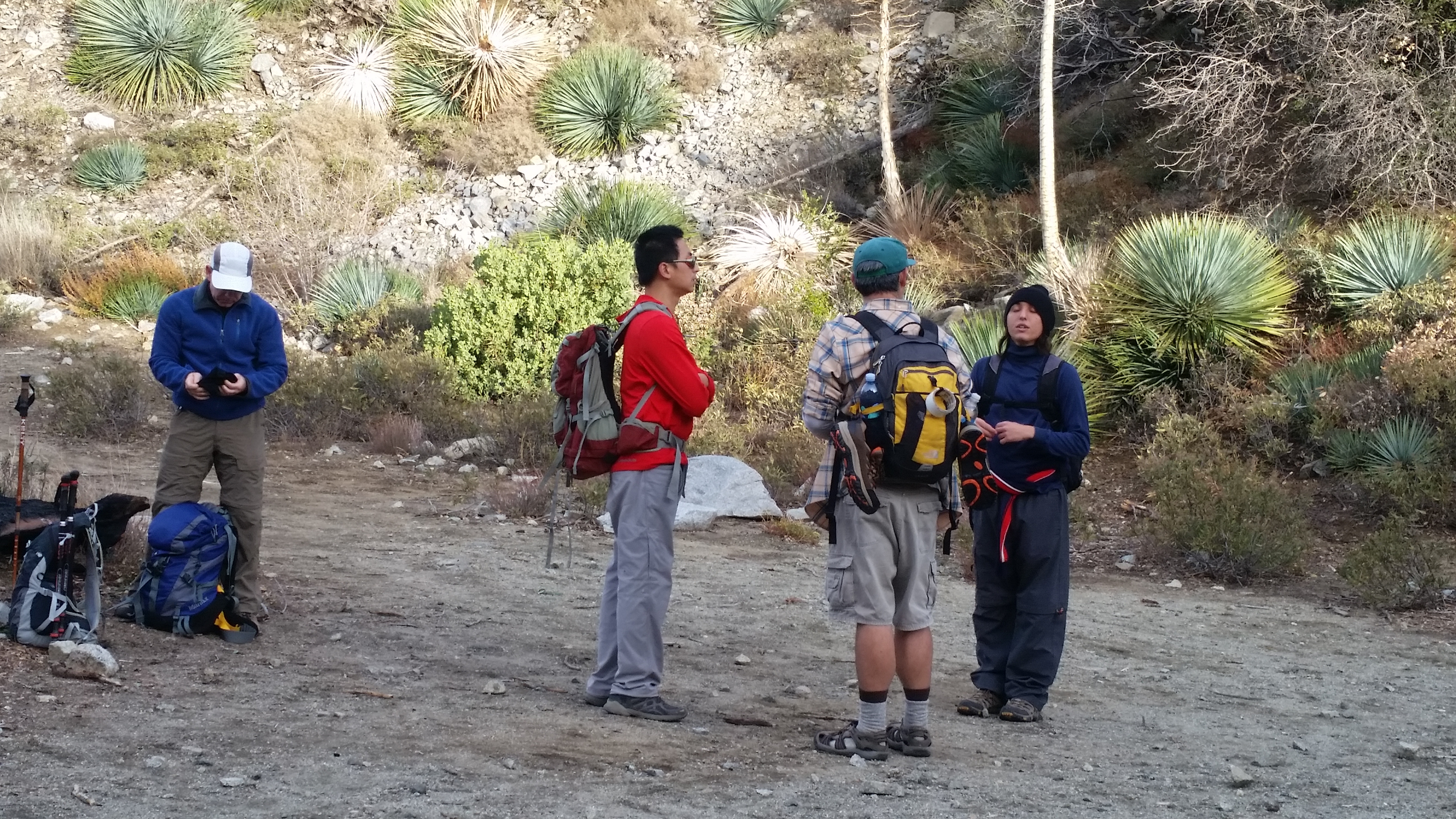
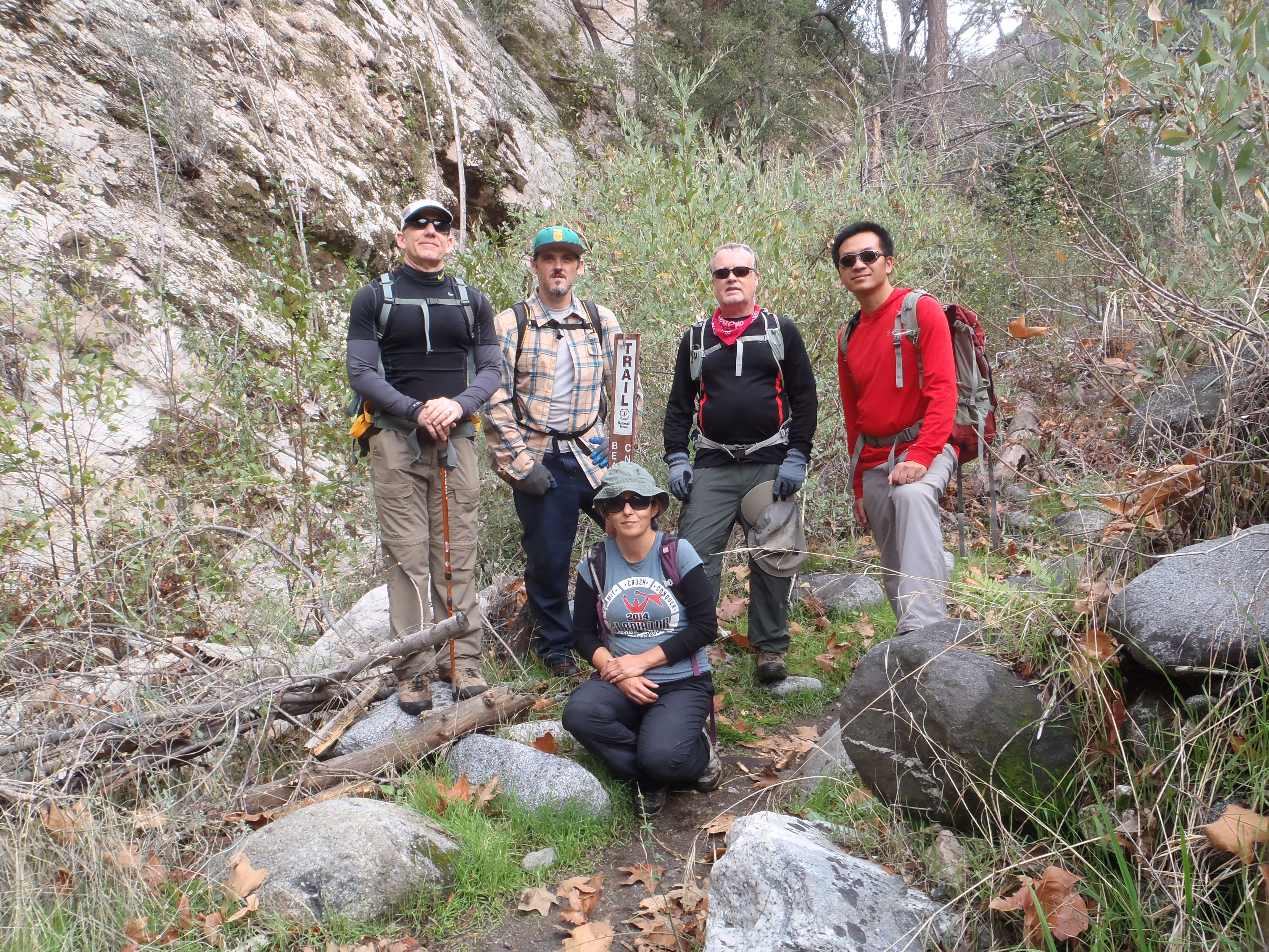
At Markham Saddle we bumped into members of two different Meetup groups, one doing the several peaks around the head of Bear Canyon, and another also en route to Brown Mountain.

Henry and I spent a couple minutes trying to convince a somewhat confused Meetupper that we weren't actually the droids he was looking for.

Image

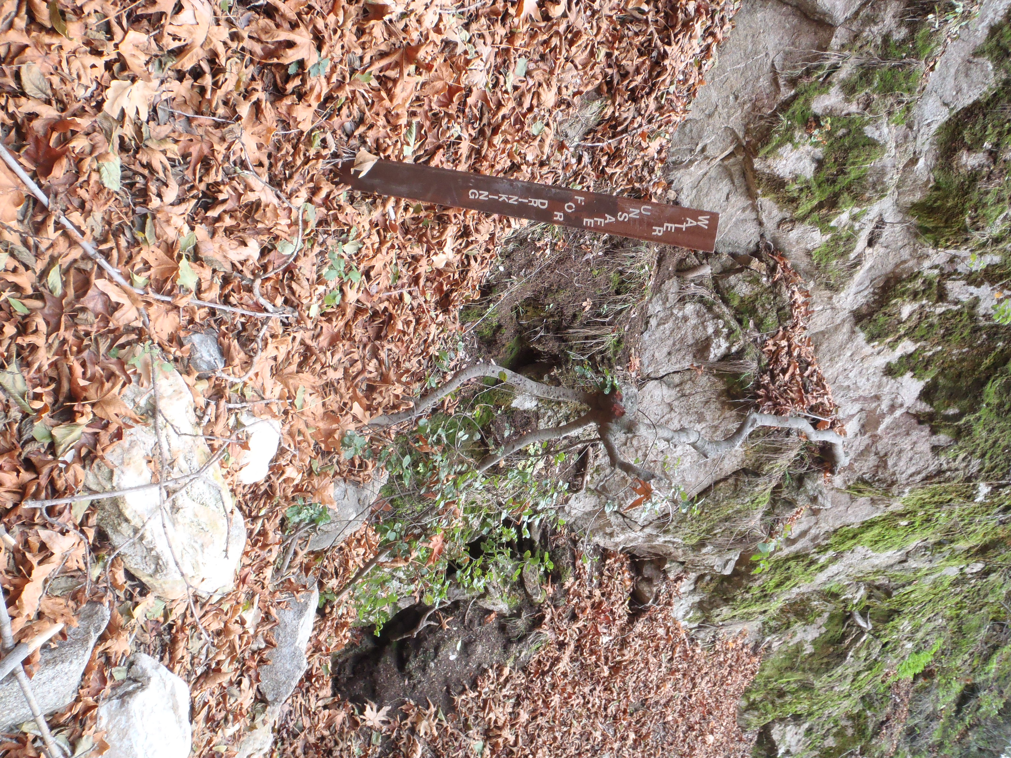
During our short break at the saddle, I suddenly had the urge to do some blunging, but then I noticed a sign on the water tank.

Image

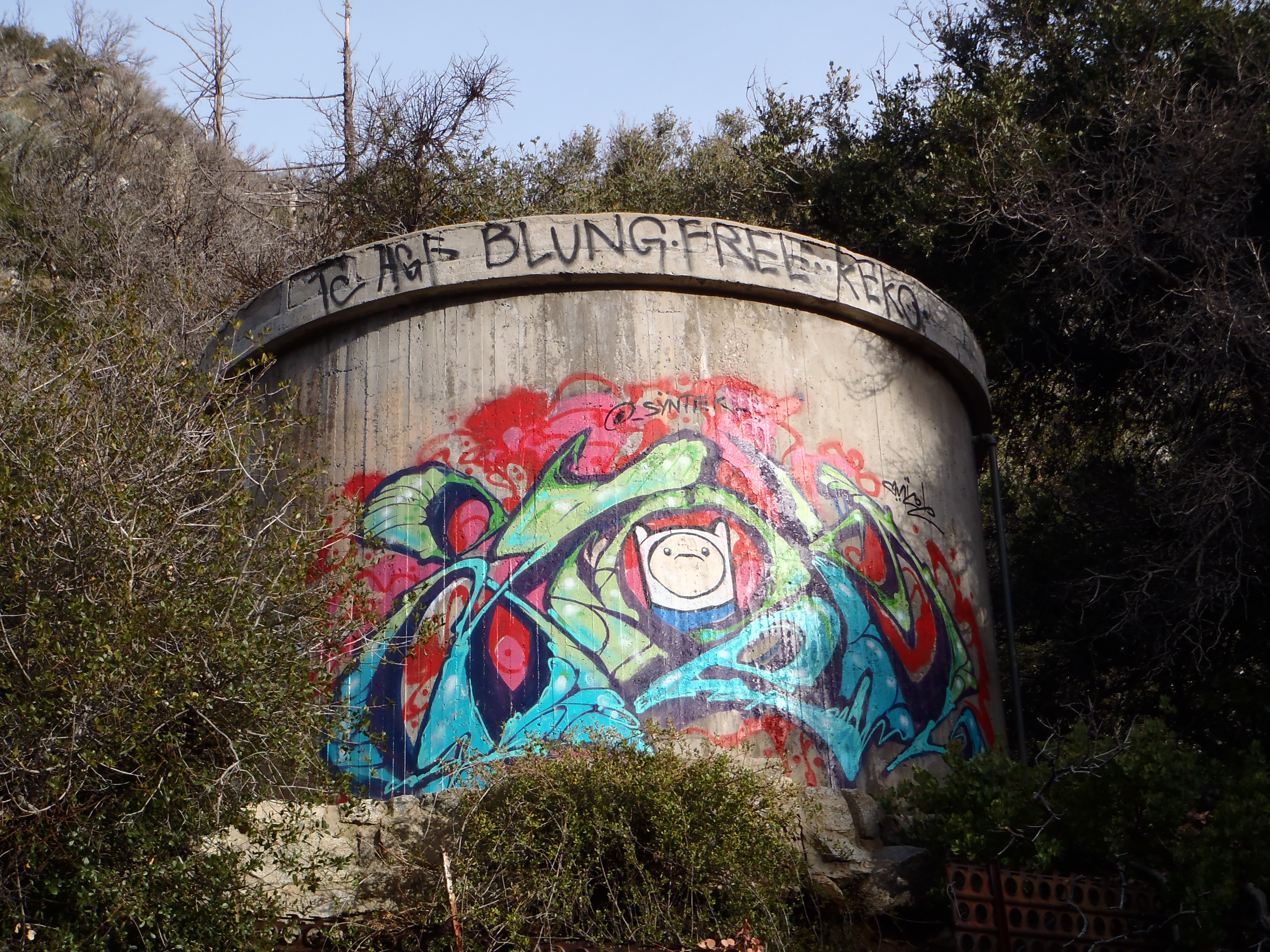
Markham Saddle has been designated a "blung free" zone. So I decided to save my blunging for Brown Mountain.

From Markham Saddle the Mt. Lowe Road took us along the south ridge of Bear Canyon to the Tom Sloane Saddle Trail.

Image

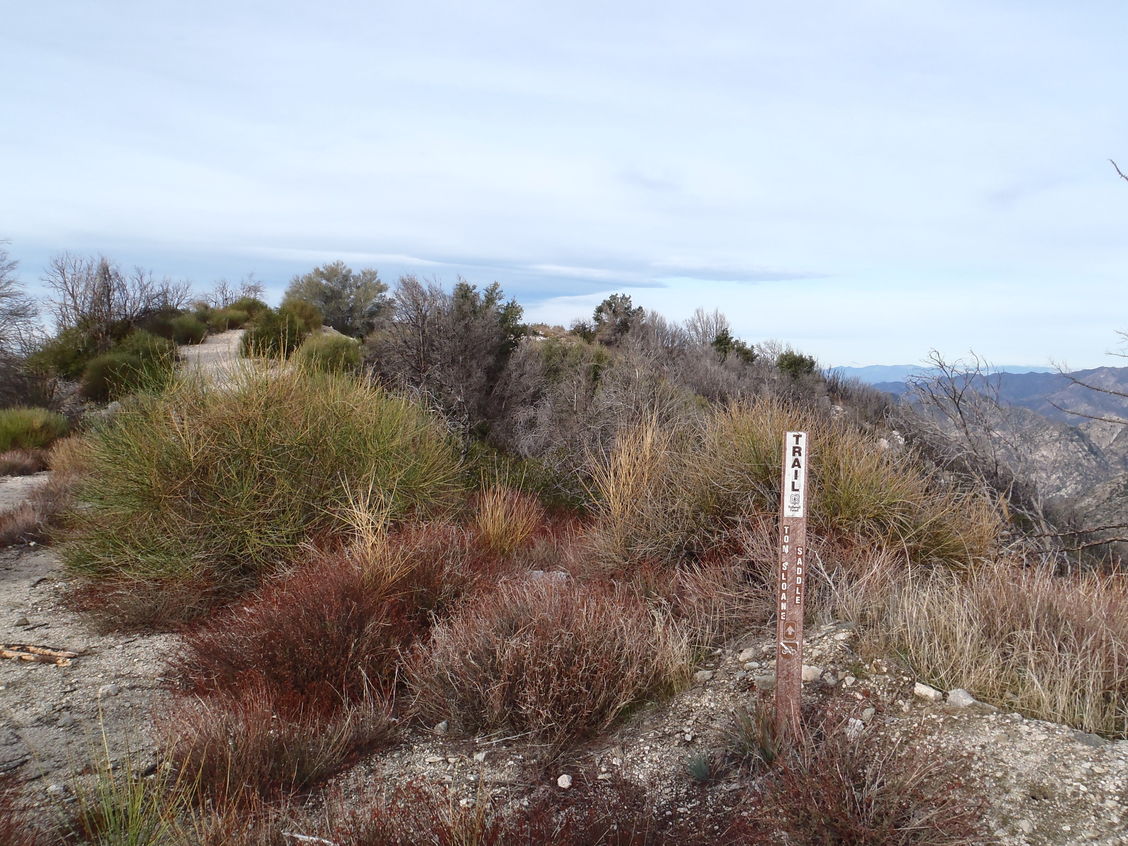
The TSS Trail hasn't received much love lately, but it's still easy to avoid the poodle dog and poison oak.

I can't say we had a quiet, peaceful descent to the saddle, as twenty-plus Meetuppers marched past us, many of whom kept asking, "Are you U.S. Hiking?" I felt like politely answering, "No, they went ahead of us." But instead I replied, "Shut up, shut up, SHUT UP!!!"

That was a joke.

But there was one particularly loud talker who let everyone in the canyon know exactly what she was thinking at every moment, and I did finally say "shut up", but probably not loud enough for her to hear me. Mostly I muttered it to myself, to help alleviate the sudden and powerful urge to kill.

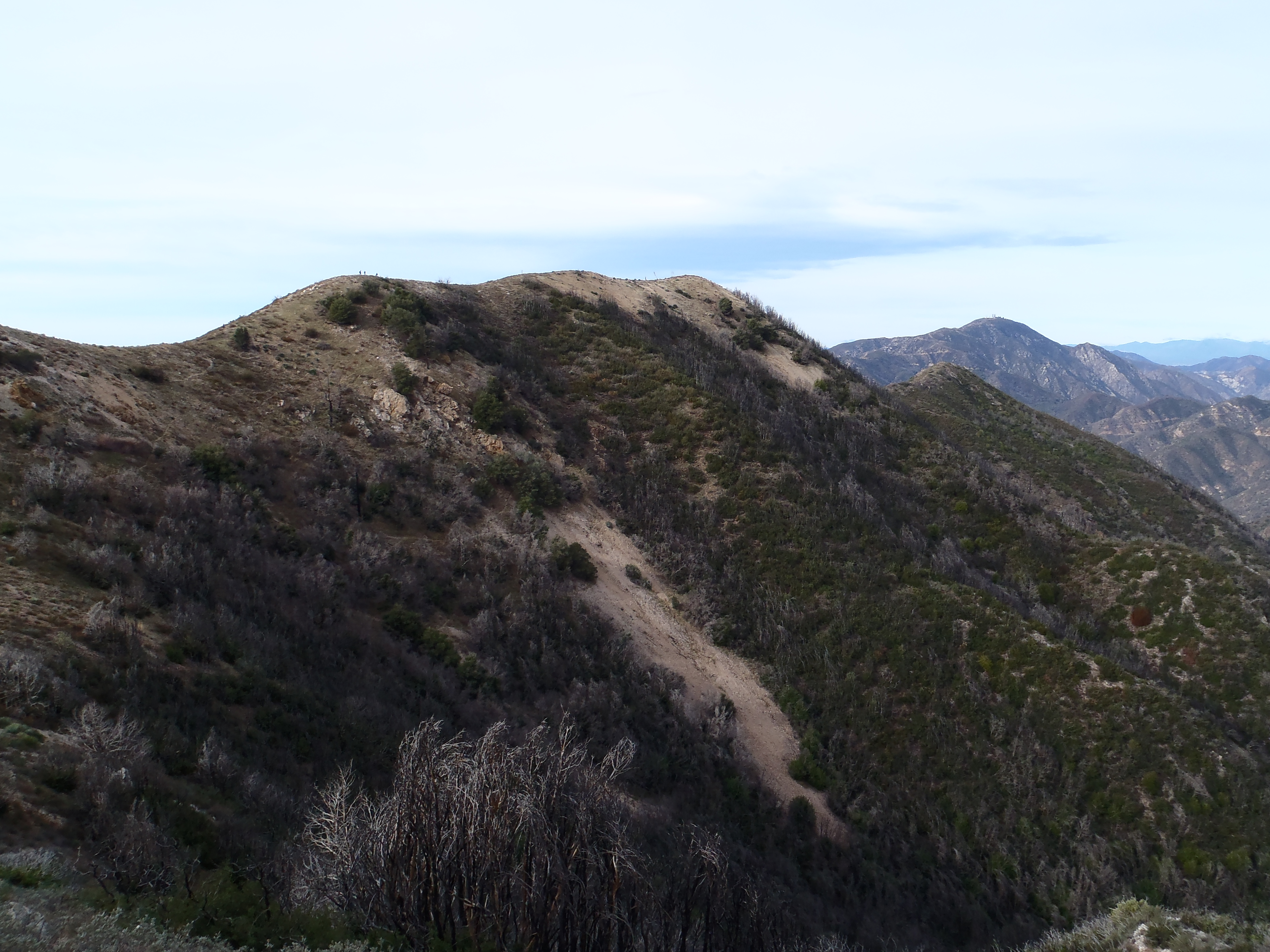
And now for something positive: we were getting closer to Brown Mountain.

Image

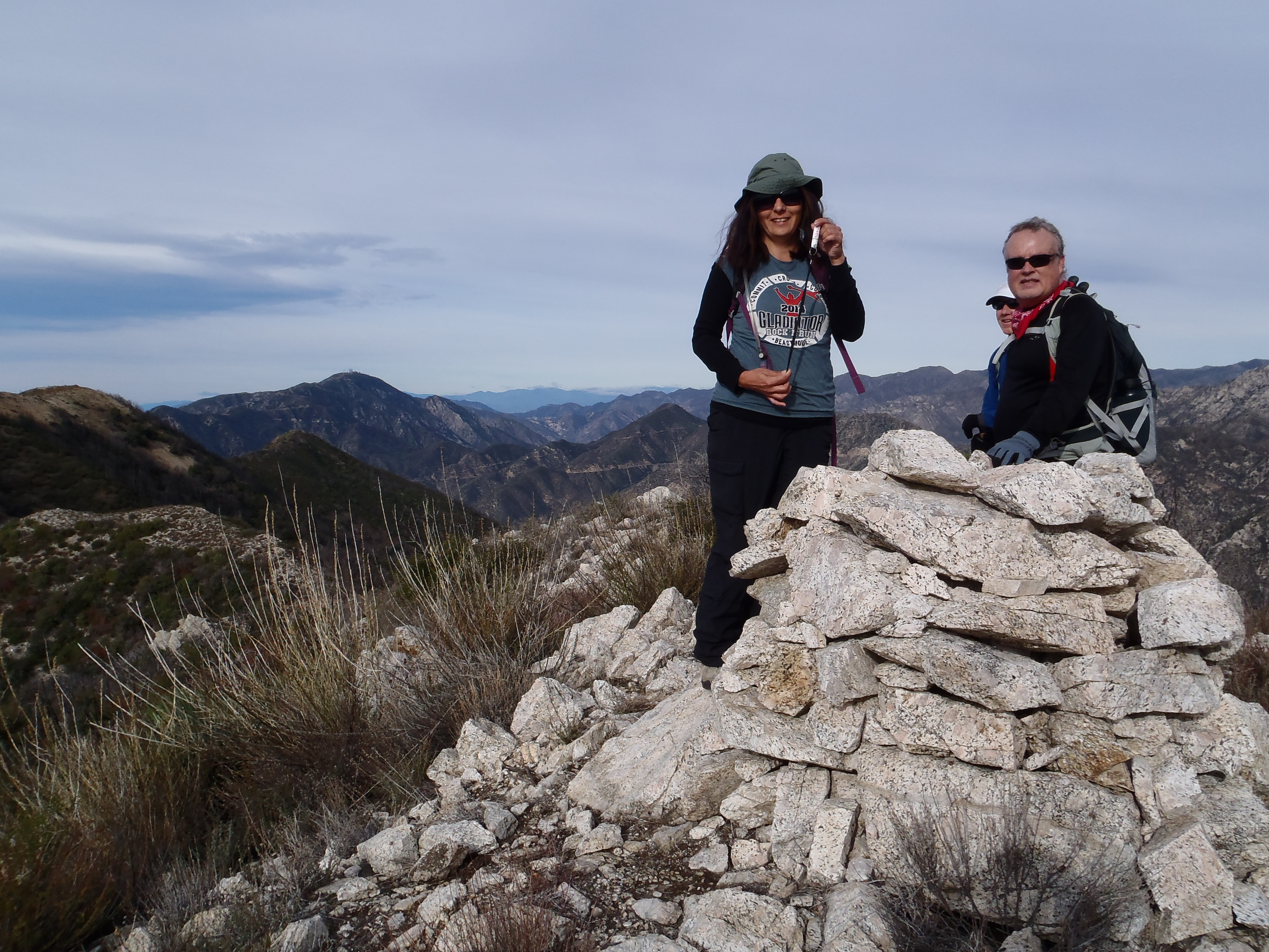
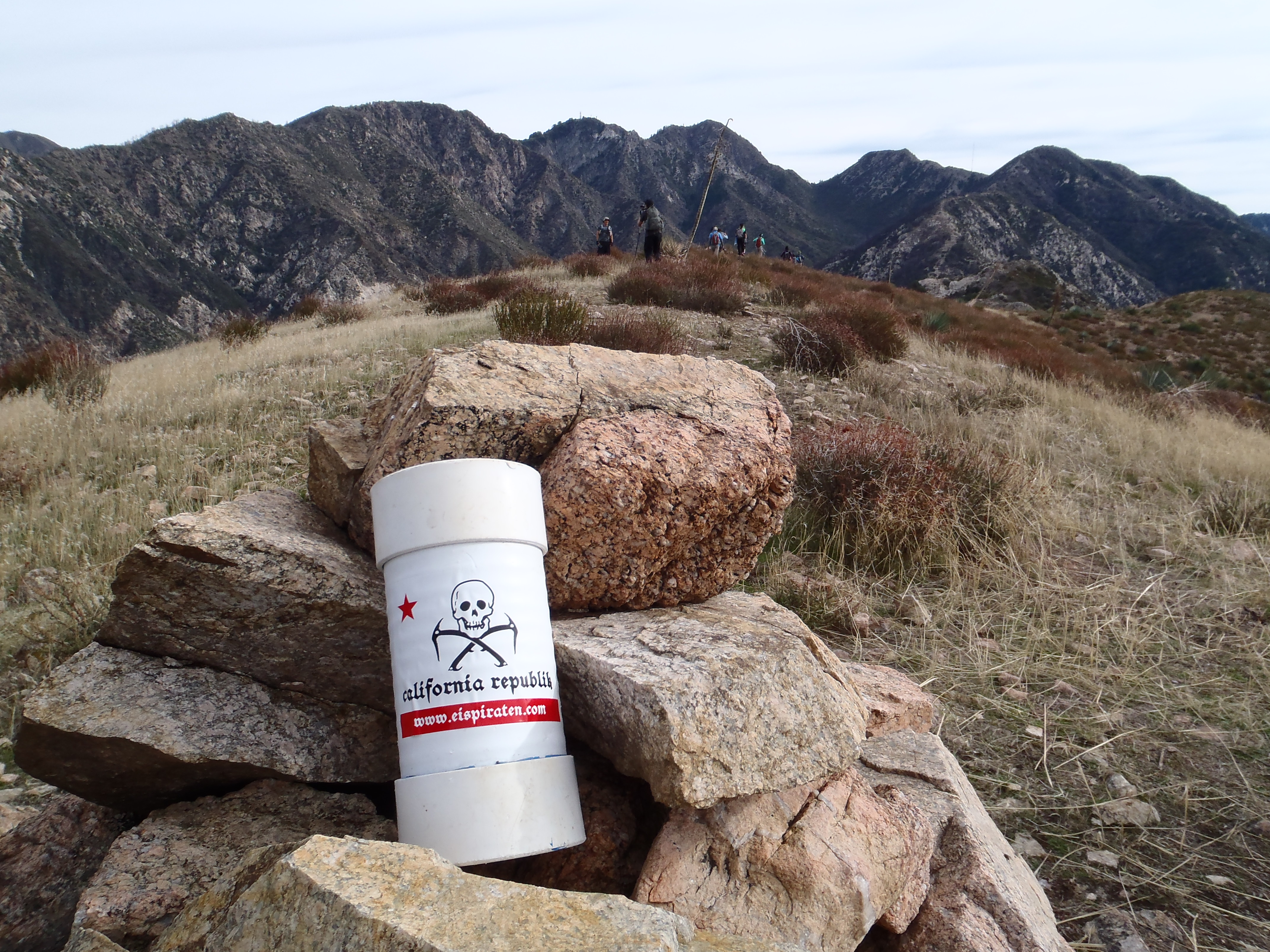
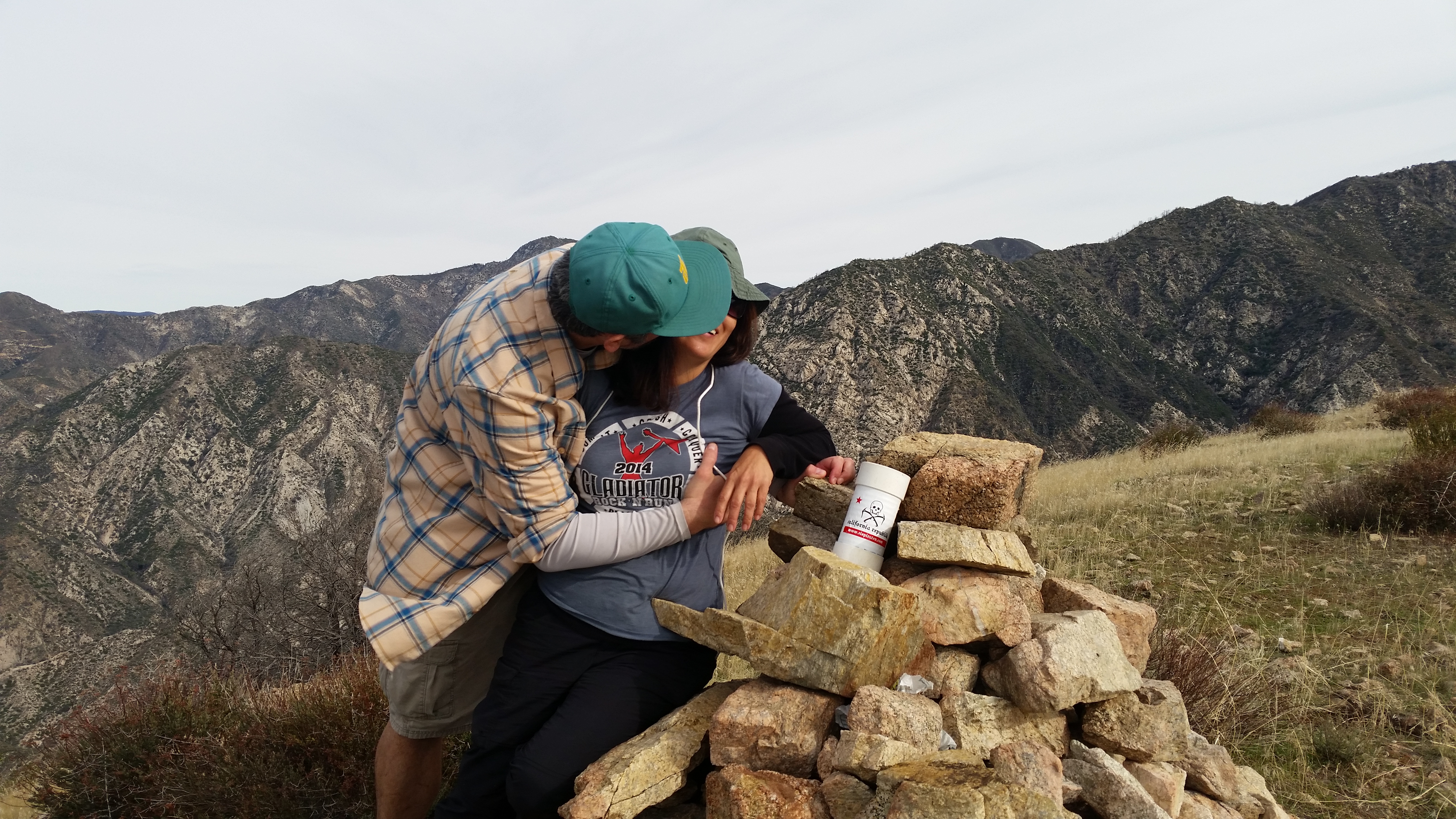
From TSS we marched up the steep ridge route and over the first false summit with the large cairn. Cecelia found some Chapstick up there.

Image

Brown was getting even closer now.

Image

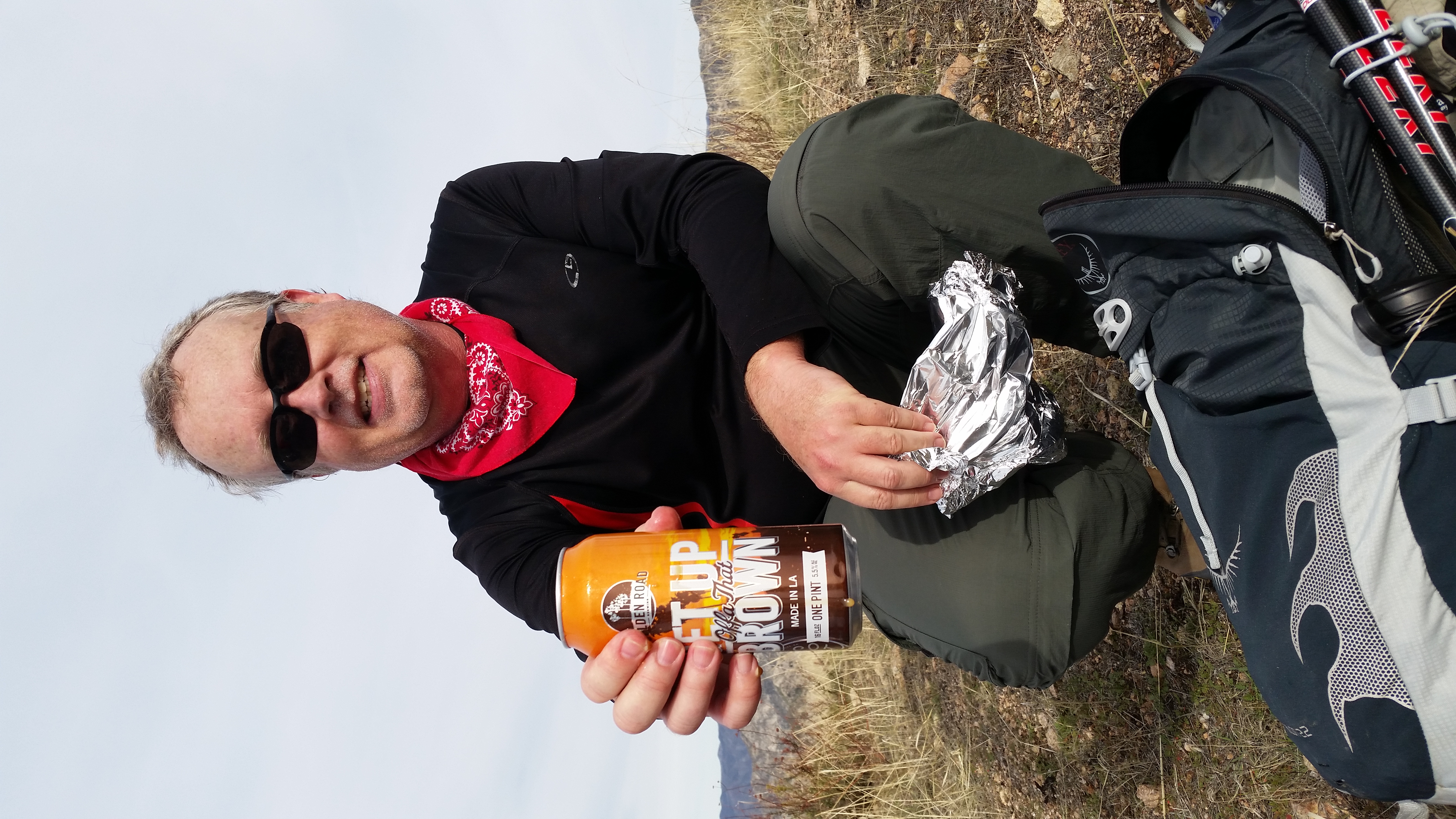
It really is true what they say: the closer you get to Brown, the more brown it gets. By the time we reached the summit, Brown was so brown that Rico was able to pick it up and pour brown down his throat.

Image

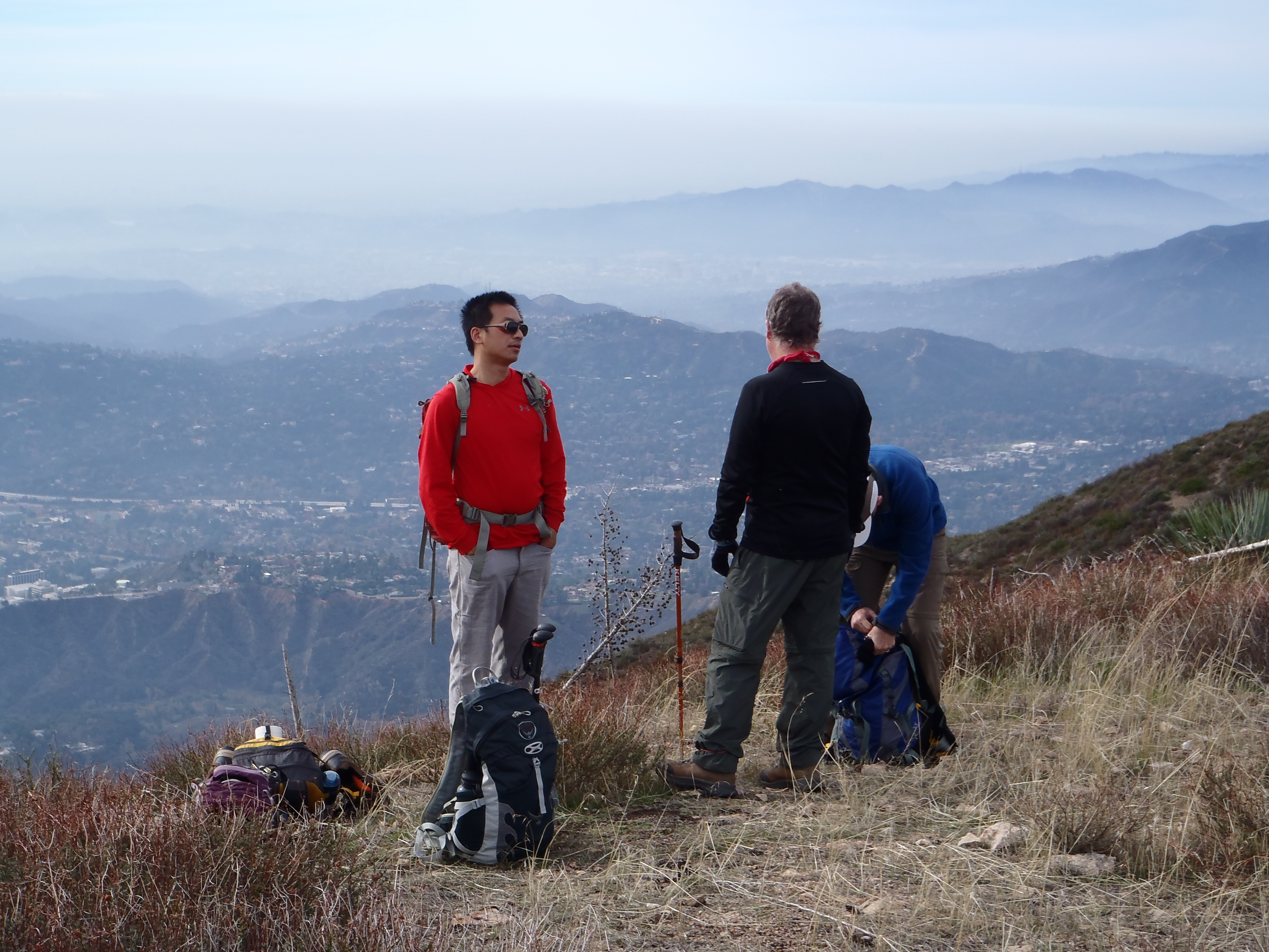
With all the Meetuppers at the summit, I temporarily thought we were at Inspiration Point. But then they all departed, and I recognized Brown Mountain once again.

Image

Image

I tried to blung Cecelia, but she didn't want any part of that.

Image

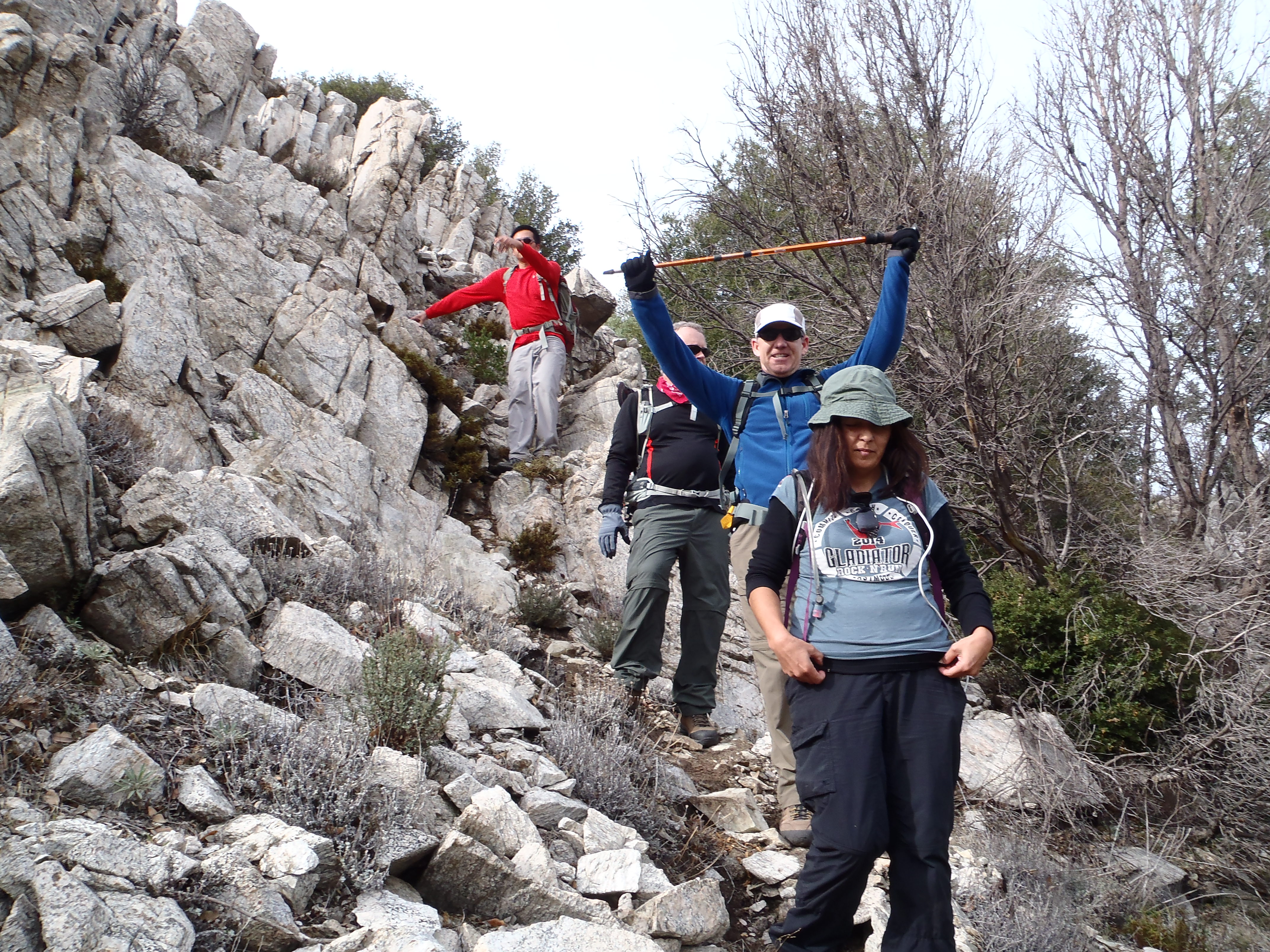
With the Meetuppers gone, our return to TSS did not produce any urges to kill, at least not on my part.

Teke was feeling triumphant, having conquered another Lower Peak.

Image

Image

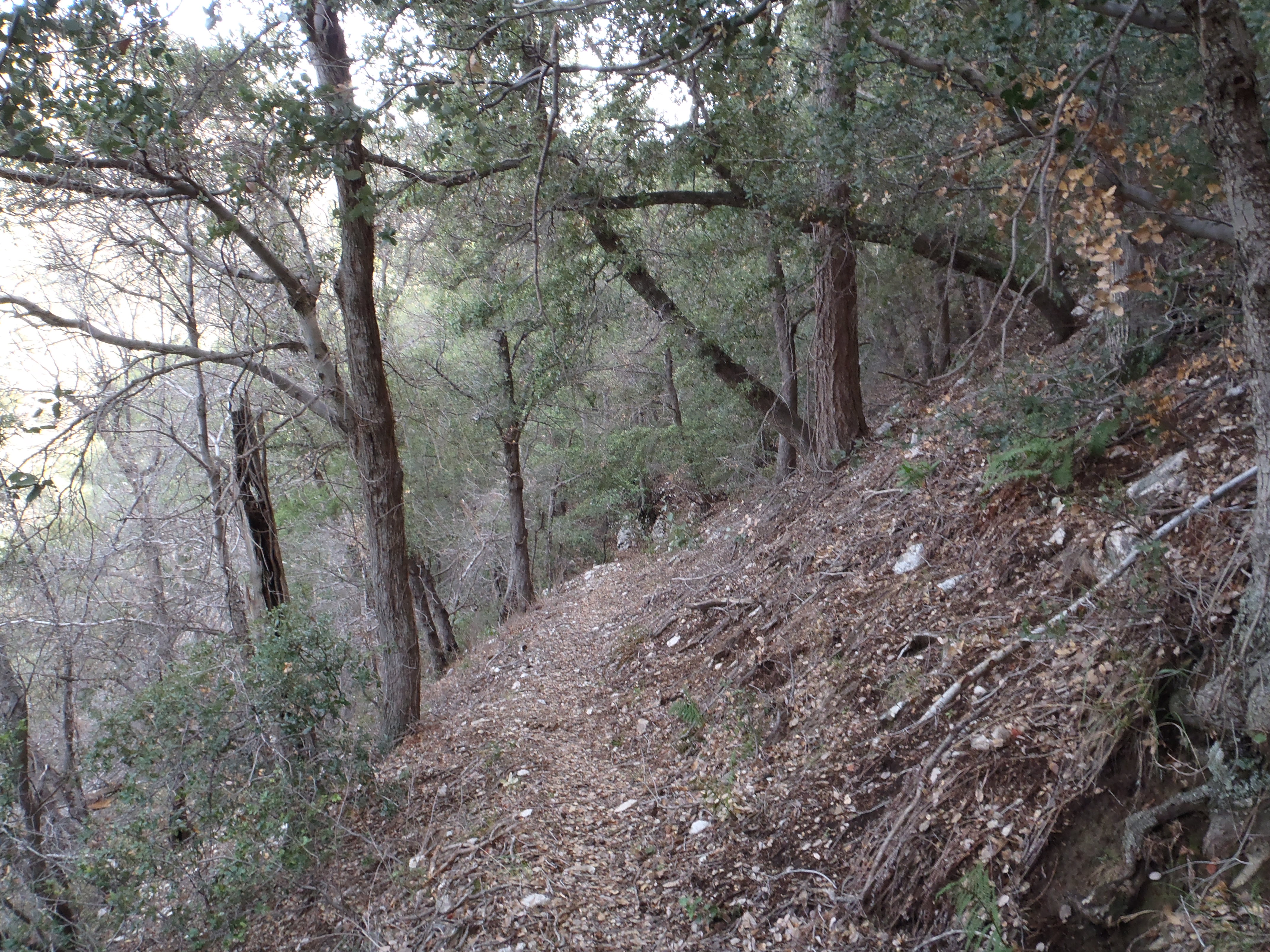
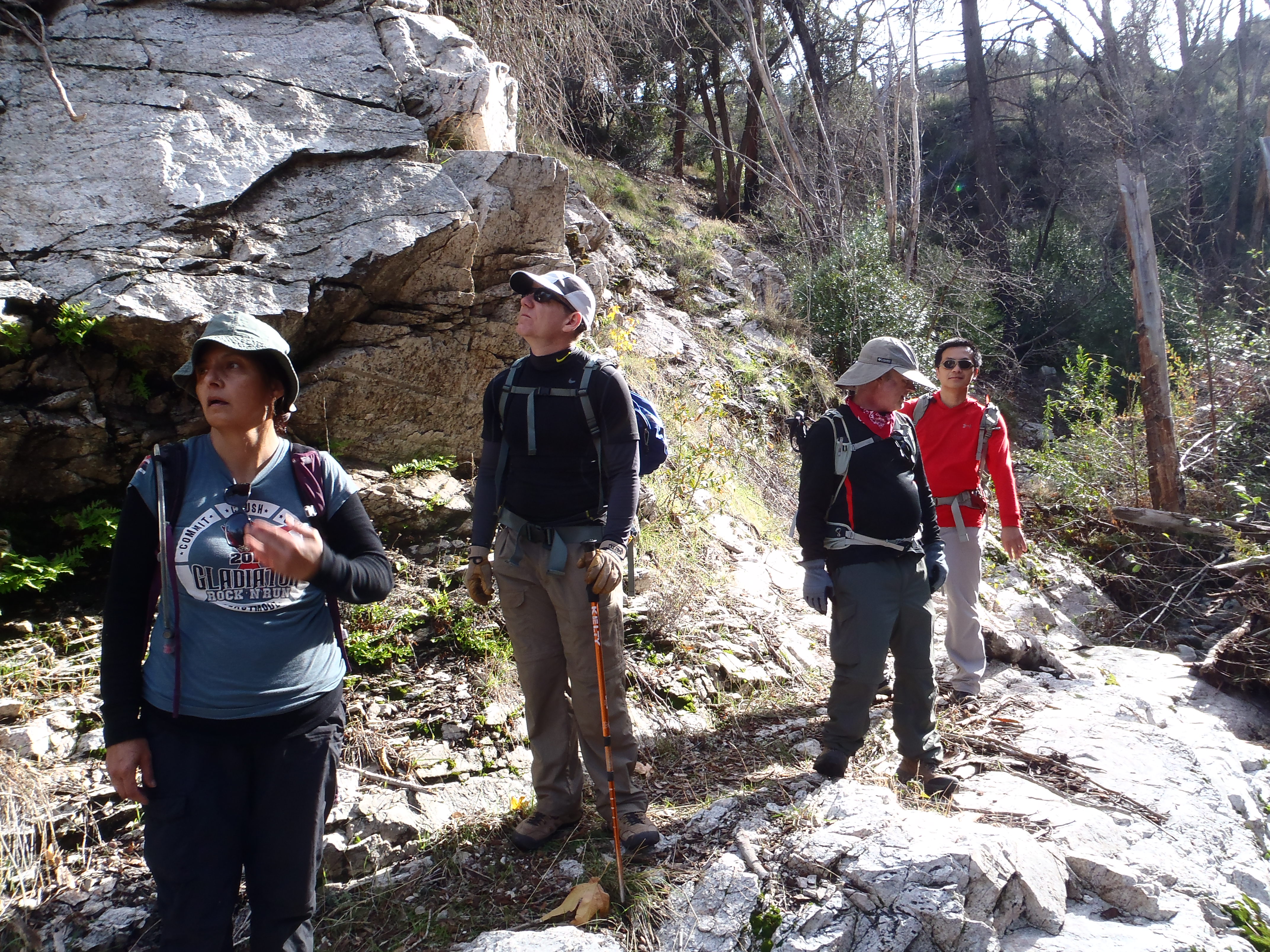
Next on the agenda was Bear Canyon. The drop from TSS was very easy with a nice trail through the trees.

Image

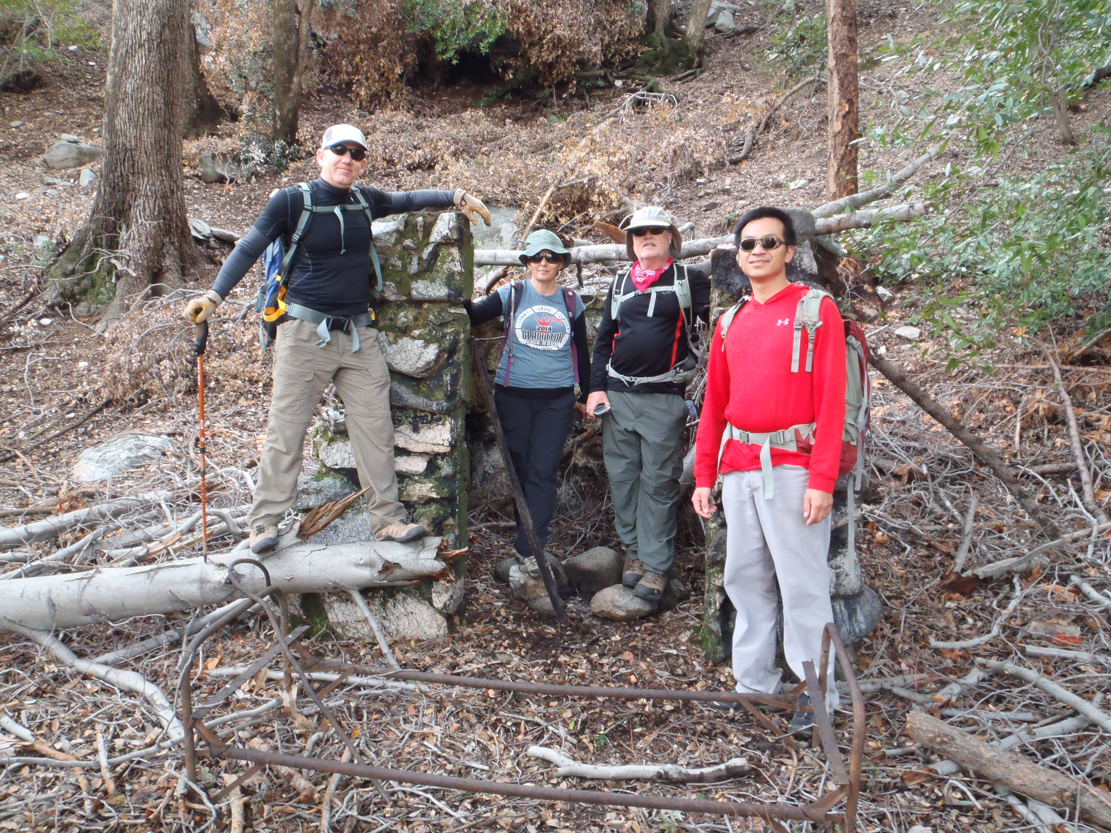
At the streambed, there were ruins of some sort of building. It seemed too small to be a cabin, but perhaps it once provided shelter for a family of gnomes. Who knows?

Image

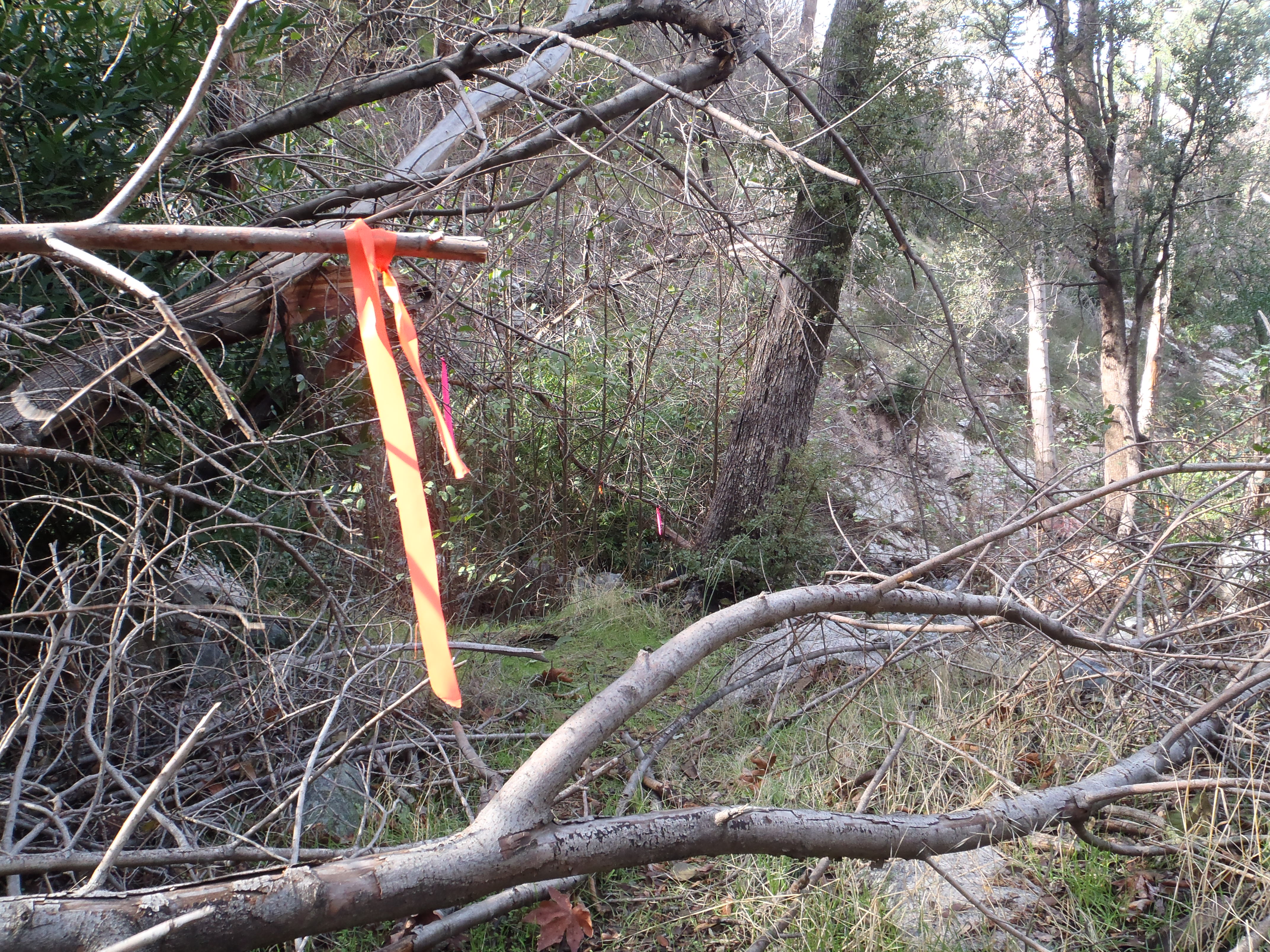
From this point, the streamside trip down Bear Canyon required hunting for signs of sawed branches, and trying to follow colored flags which marked the route.

Image

Image

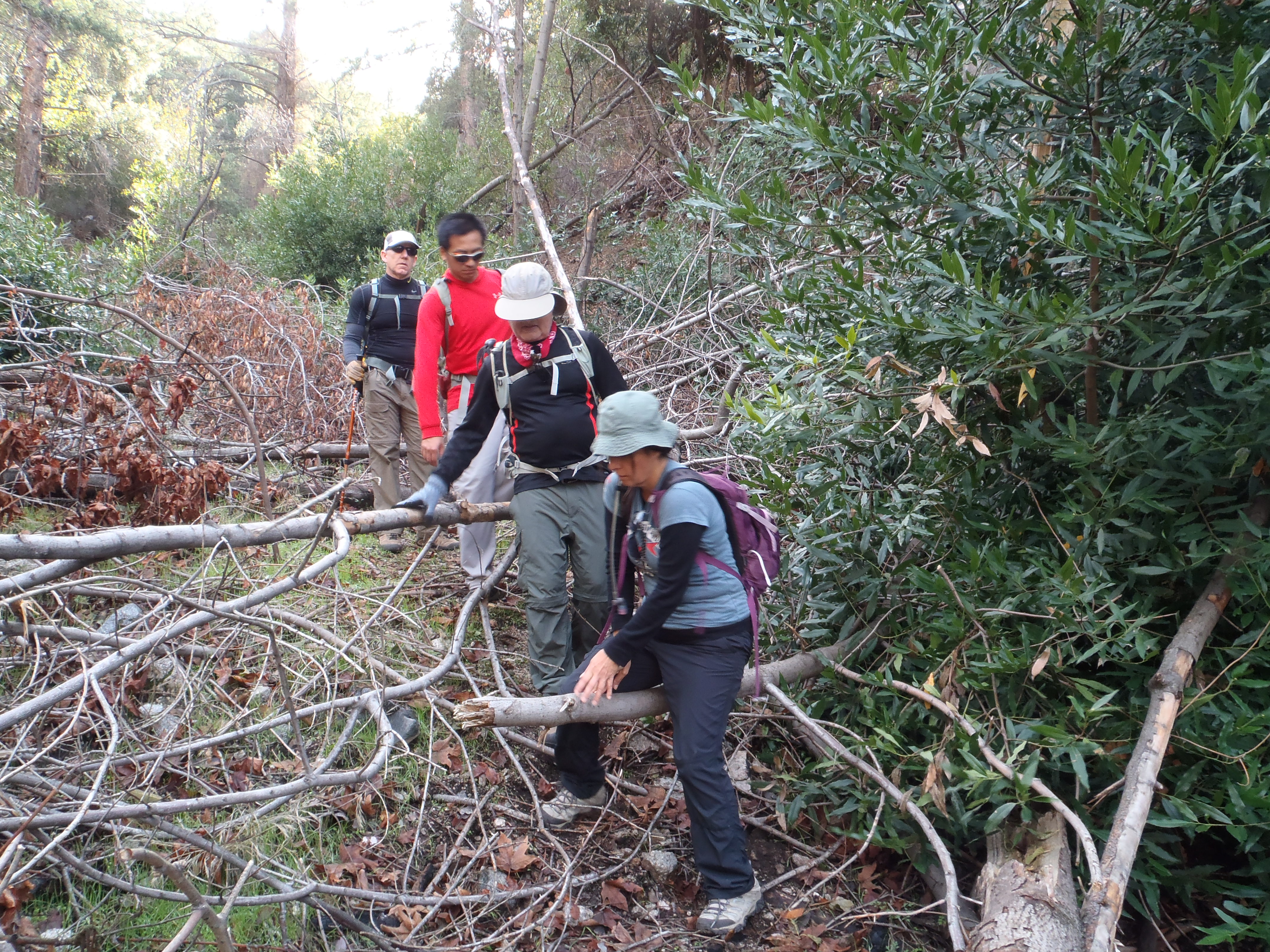
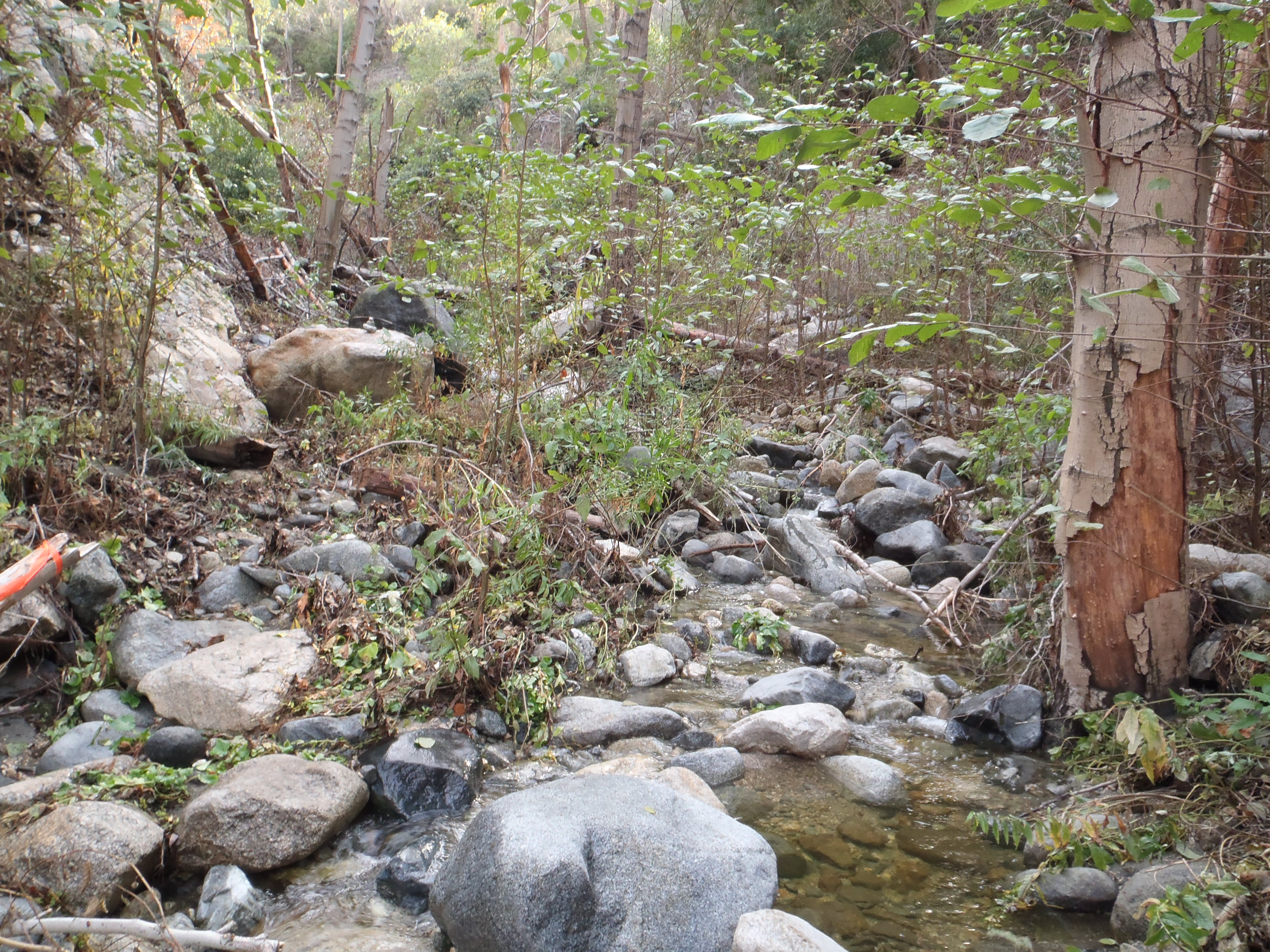
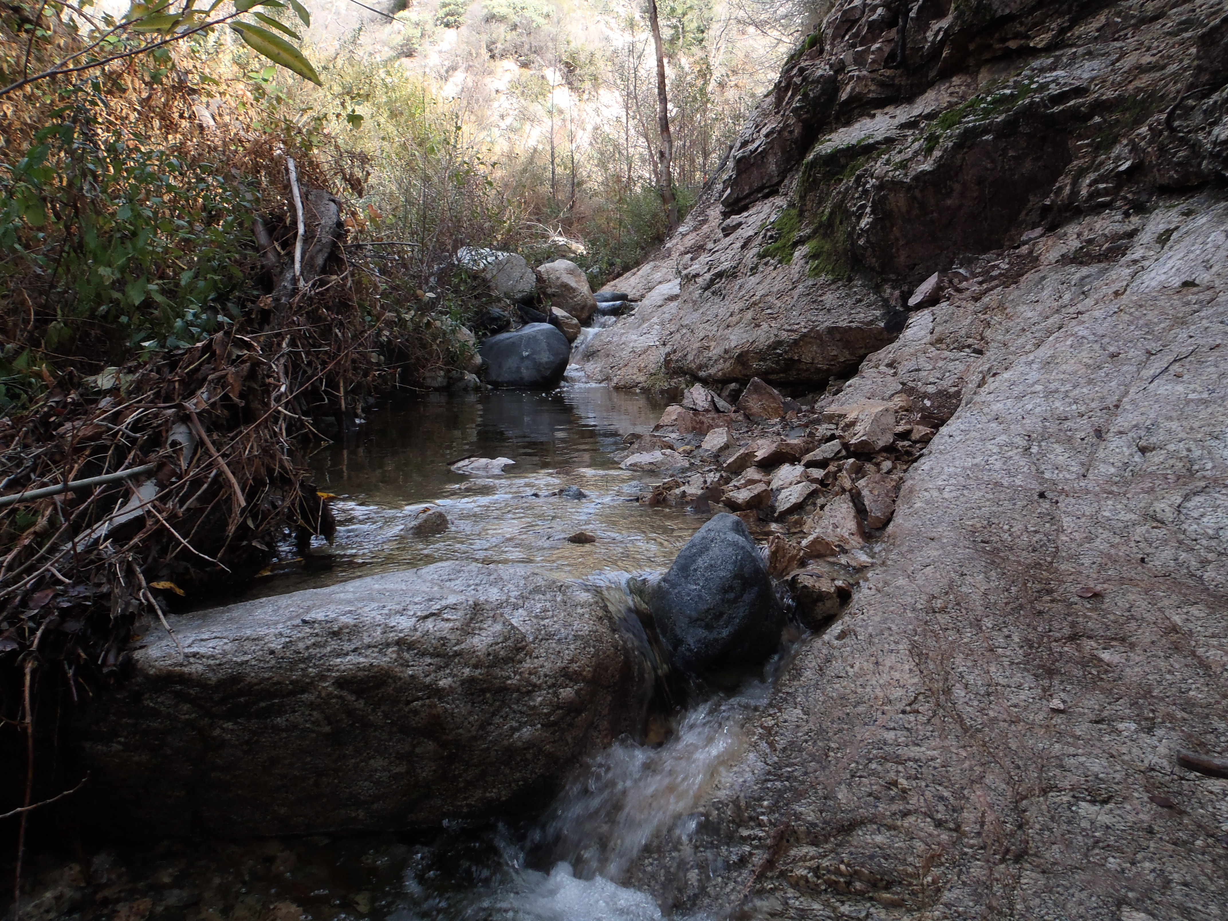
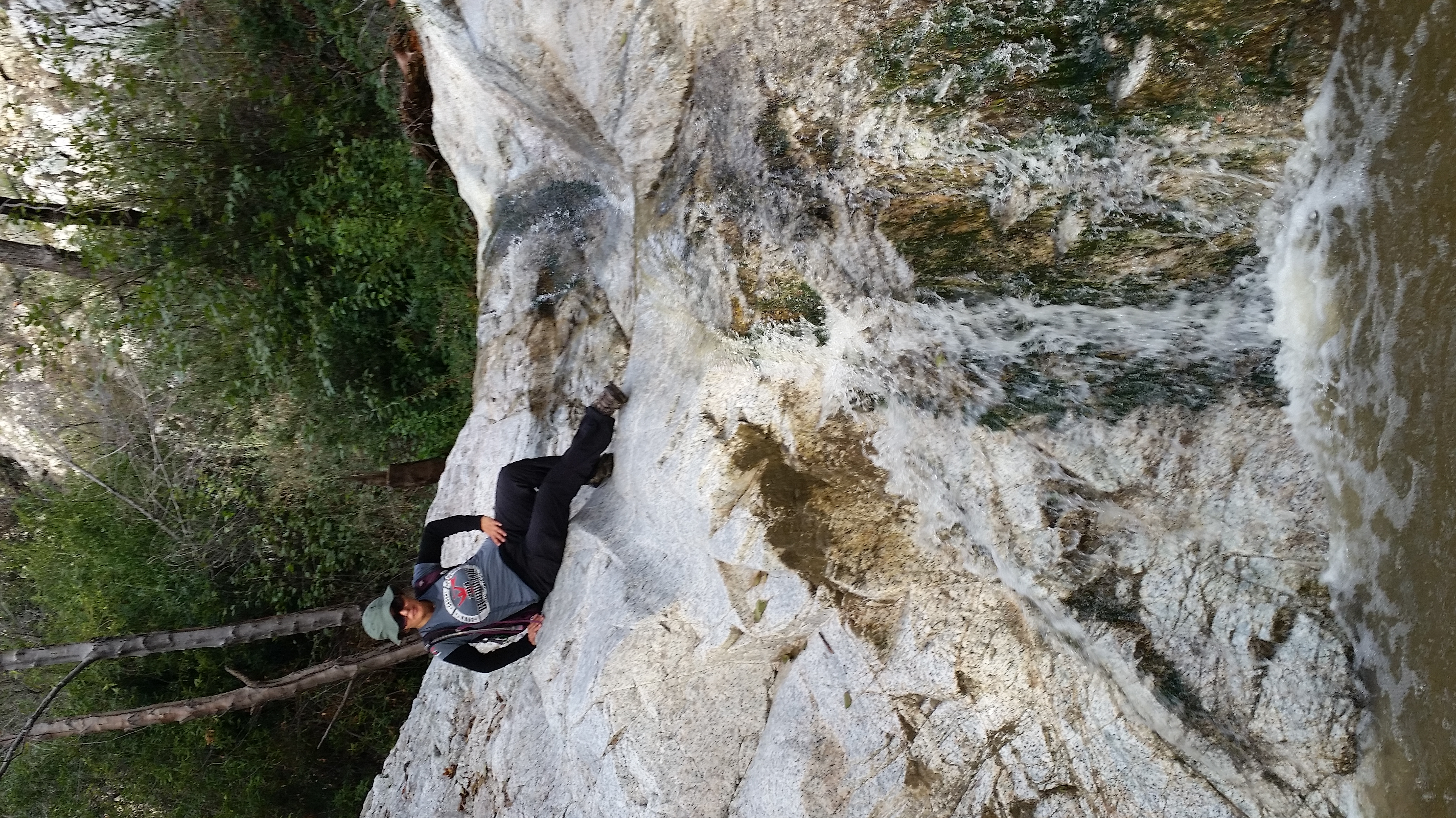
We made slow but steady progress, periodically having to step through poison oak and poodle dog patches, hurdle downed branches, and boulder-hop along the stream in narrow sections of the canyon.

Image

I was having so much fun that I decided to slip on a slick boulder and stumble face first into the stream. The water was so refreshing as it filled up my pants and boots.

Image

Image

We encountered a young foursome in shorts and t-shirts scrambling upstream. I initially thought they were hardcore, but later changed my mind when they didn't know about poodle dog. We showed them what poodle dog looked like, which was very easy to do since the plant was practically everywhere. Apparently one member of their party had been touching it. The next time we saw that guy he was frantically washing himself off in the stream. And the third time we saw him he had smeared his body with mud.

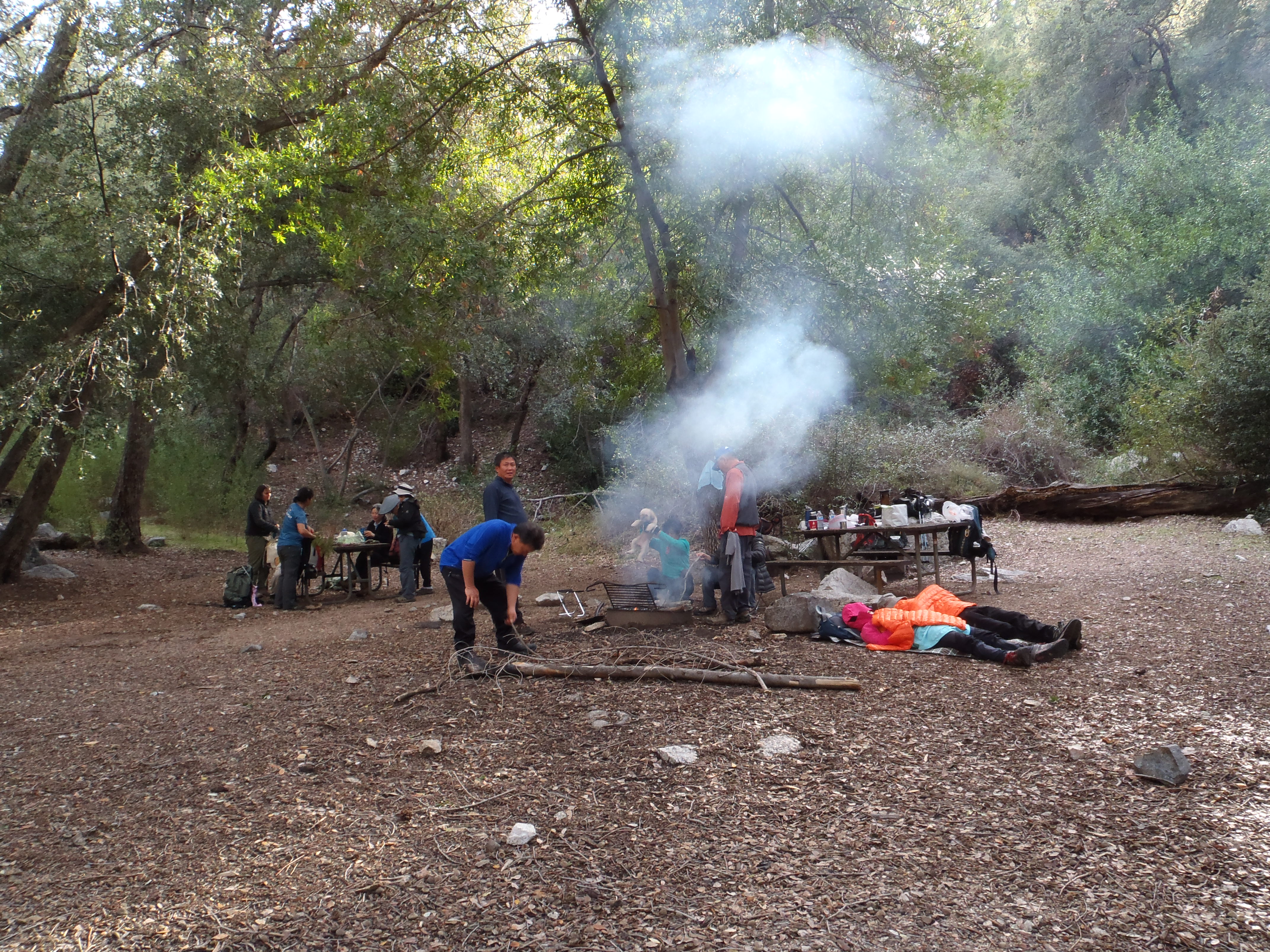
Anyway, we eventually reached Bear Canyon campground.

Image

Then the Bear Canyon trail sign.

Image

After exiting Bear Canyon, we headed up the Arroyo Seco

Image

to Switzers.

Image

We contemplated finishing the loop to Red Box by continuing up the Gabrieleno Trail. But it was getting late, and another couple hours of the Arroyo Seco wasn't exactly a thrilling idea. So we called it a 14.5 mile day around 3:30pm.
User avatar
cougarmagic
Posts: 1409
Joined: Wed May 07, 2008 5:21 pm

Post by cougarmagic »

Very nice trip and photos. I like that place, and haven't been there in a while.

I imagine the fellow taking extreme measures to wash off the PDB will have found them to be inadequate by now.

Urban Dictionary has a few things to explain about blung. I'm not sure which applies to the blung-free zone at the saddle. That graffiti needs to be more specific.
Blung
When you roll a blunt and smoke it through a bong, packing weed around the blunt in the bowl of the bong, which sparks the bowl up for you when the blunt gets smoked dwon to the end and hits the bowl part.
its one of the most amazing ways to smoke. ever.
Hey dude its 4:10, start rollin up that blunt and lets get this blung goin!
by Chronic Ash December 06, 2010
32 13 SHOP

3
blung
when you had bling and you lost it.
Dawg, he got blung.
by miosis March 05, 2004
32 29 SHOP
4
Blung
If something is sick, morally wrong, or messed up.
1)A man having sex with a dog is blung.

2)Munging is definately blung.

3)"I have haven't done my homework beceause i got grounded".."Aw man,that's blung"
by skiboi11 March 30, 2010
2 10 SHOP
5
blung
Past tense of Bling.
his dope ride was blung out
by Chad and Kat April 03, 2003
3 11 SHOP
6
blung
Past tense of "bling" or "bling-bling"
Unfortunately for Ned, by the time he could afford spinning 22" wheels for his Escalade, they were blung.
User avatar
tekewin
Posts: 1195
Joined: Thu Apr 11, 2013 5:07 pm

Post by tekewin »

Fun trip. Lots of people on the Brown trail and summit. Bear Canyon was quite secluded. For a couple of miles, there wasn't much left of the trail. The ribbon and recent cutting helped, but we still all had to tromp through some poison oak. A couple of photos and vids...

Image
On the trail to Brown

Image
Tiny hikers on Brown

Image
Summit photo

Image
Bear Canyon "trail"

https://www.youtube.com/watch?v=8NICjWFyiqU
Brown summit 360

https://www.youtube.com/watch?v=N7TUAm5oy-w
Bear Canyon waterfall
User avatar
Uncle Rico
Posts: 1402
Joined: Thu Mar 20, 2008 7:48 pm

Post by Uncle Rico »

Ok, not to beat a dead Bear, but here's a few more pics from our adventure.


Sunrise over the West Fork from Red Box


Snow-capped Baldy from the Bill Reilly Trail


San Gabriel Peak from the Bill Reilly Trail


Upper Bear Canyon from Markham Saddle


The Gang Taking in the View


The Ridgeline Leading to Brown


Josephine and Strawberry from Brown's Summit


Henry atop Brown


Teke Refueling on Brown's Summit


Cucamonga Man and Cecelia Descending from Tom Sloan Saddle


Looking back up Bear Canyon toward the Markham Saddle


Trailside Conclave - Teke, Sean, & Cecelia


Route-finding in the Canyon bottom


Cucamonga Man


Bear Canyon fungi


More fungus amongus


Trail conditions getting better as we neared Bear Canyon camp


Bear Canyon trail camp


Plenty of water in the canyon. Nice to see.


Trail below Bear Canyon trail camp


Sean and Cecelia along the trail


Looking south down the Arroyo Seco at the junction with Bear Canyon


Water in the Arroyo Seco

Thanks to Sean, Teke, Cecelia, and Henry for sharing a fun day in the canyons with me.
User avatar
Elwood
Posts: 612
Joined: Fri Aug 15, 2008 5:23 pm

Post by Elwood »

Very lovely report and pictures. Thanks for sharing them with us all. FYI, I was on Mt. Lowe, San Gabriel, and Disappointment the same morning. Came up from the Cobb Estate.
User avatar
AW~
Posts: 2040
Joined: Mon Oct 01, 2007 12:00 pm

Post by AW~ »

Excellent! Any pics of MtDisappointment south side? Looking for a picture of N 34.24335 W 118.13467 which you passed by :D
User avatar
Elwood
Posts: 612
Joined: Fri Aug 15, 2008 5:23 pm

Post by Elwood »

Only these from a few months after the fire unfortunately
Image
Image
User avatar
AW~
Posts: 2040
Joined: Mon Oct 01, 2007 12:00 pm

Post by AW~ »

Thanks...probably doesnt have any waterflow then...I think the emphasis remains on N 34.24997 W 118.14451 and a heavy rainy season.
User avatar
Uncle Rico
Posts: 1402
Joined: Thu Mar 20, 2008 7:48 pm

Post by Uncle Rico »

Looking for a picture of N 34.24335 W 118.13467 which you passed by
I didn't record coordinates, but I think this may be the entrance to the canyon you're referring to Canyon Man. I don't know if the video is going to work when I post this, but water was flowing from that canyon.
User avatar
redhead242
Posts: 6
Joined: Tue Dec 23, 2014 8:19 pm

Post by redhead242 »

I was on Mt. Disappointment in the early afternoon and was flummoxed by the chainsaw crew. I hadn't seen...er, heard that before.

I attempted to go down the trail on the side of San Gabriel Peak down to Mt. Lowe Road but found the trail a bit too dicey from the recent storms and that, coupled with strong wind gusts, forced me to turn around. I'm not a noob (I know what PDB is!) but am risk adverse.
Post Reply