Mt Lukens via "CR" Ridge

TRs for the San Gabriel Mountains.
Post Reply
User avatar
mattmaxon
Posts: 1137
Joined: Mon Mar 24, 2008 12:48 pm

Post by mattmaxon »

http://connect.garmin.com/modern/activity/630097985

This is probably the shortest route to the summit of Mt Lukens. I have hiked most of the the segments at one time or another, never strung them all together.

My hiking partners vehicle died on the way to Haines Cyn Ave so I was on my own. Got going about 5:50 am at first light.

I call this CR Ridge because it follows the old General Telephone cable route to Mt Lukens. They would have made it as short as possible.

Image

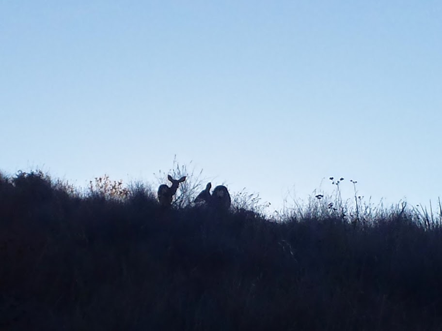
The weather was ok-ish. I made it to the summit before 9am saw a couple deer at the 1st road crossing

Image

Also found an intact 60's era deposit Pepsi bottle that survived being chucked off the mountain and 2+ brush fires.

Image

It is probably not worth much 10-20$

I wasn't busting a gut to get there but this route except for one or 2 segments for the right person with good weather and a tailwind could get someone to the summit in record time
User avatar
HikeUp
Posts: 3861
Joined: Thu Sep 27, 2007 9:21 pm

Post by HikeUp »

Interesting. The road basically follows the same ridge, but in a road kind of way (i.e. 500 feet/mile or less kind of way). Cool stuff. Pics or it didn't happen ;)
User avatar
mattmaxon
Posts: 1137
Joined: Mon Mar 24, 2008 12:48 pm

Post by mattmaxon »

HikeUp wrote: Interesting. The road basically follows the same ridge, but in a road kind of way (i.e. 500 feet/mile or less kind of way). Cool stuff. Pics or it didn't happen ;)
yeah I'm thinking it was put in when the cable was. The road has not been and will not? be maintained anymore.

The Haines Cyn Mtnwy is about 5.5 miles to the summit. This route is about 3.3 miles

I added the 2 photos I took

Enjoy!
Post Reply