kratka ridge to Mt. Waterman traverse 08/02/14

TRs for the San Gabriel Mountains.
Post Reply
User avatar
anarchist
Posts: 75
Joined: Sat Jan 04, 2014 7:57 am

Post by anarchist »

I've been meaning to put out some trip reports and I finally found the time so here goes.

This route follows Kratka Ridge and is mostly cross country with some trail sections. I did this route east to west.

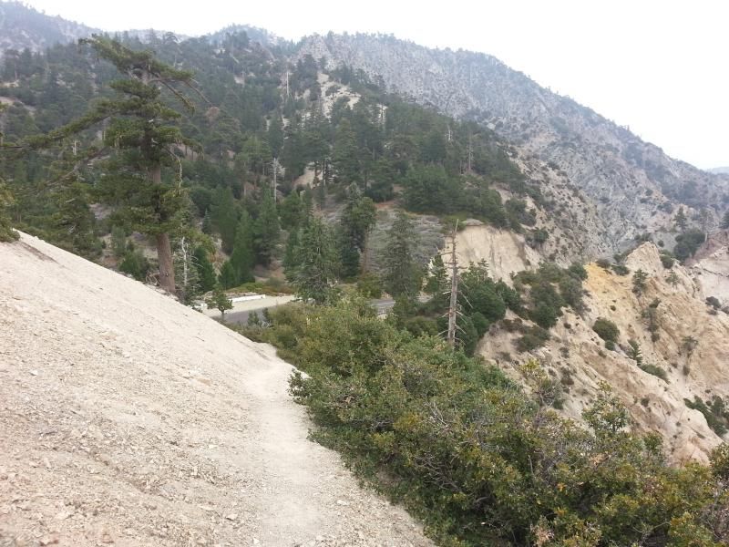
starting up the trail from Angeles Crest Highway
Image

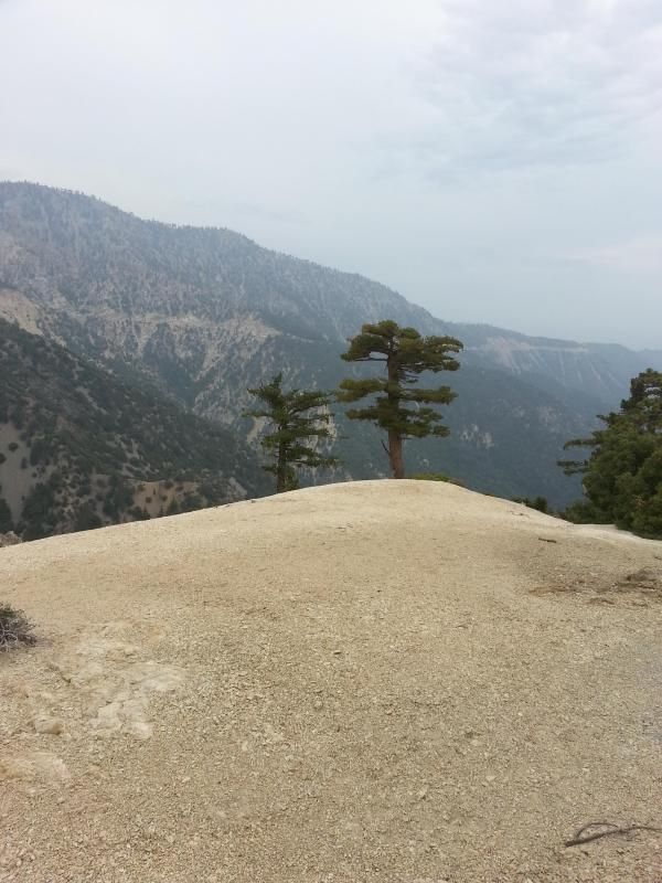
right away you enter a zone of amazing trees
Image

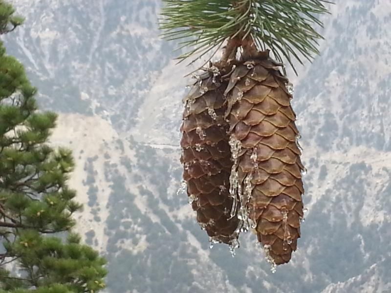
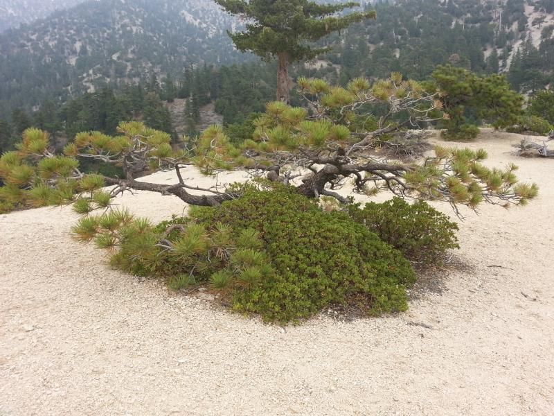
some shaped by weather into beautiful bonsai sculpture
Image

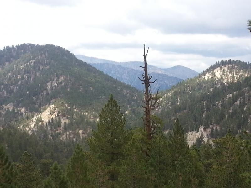
highway 39 in the distance
Image

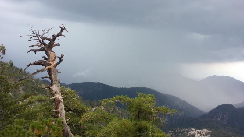
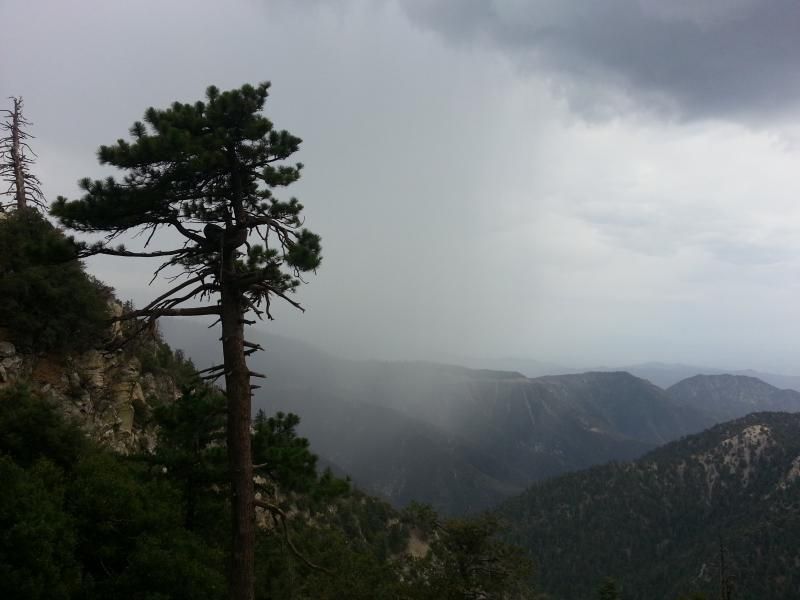
nearby rain clouds eventually moved in on me and I had to seek shelter at Vista picnic area under the awning of the outhouse
Image

before not too long the weather moved along and I was on my way

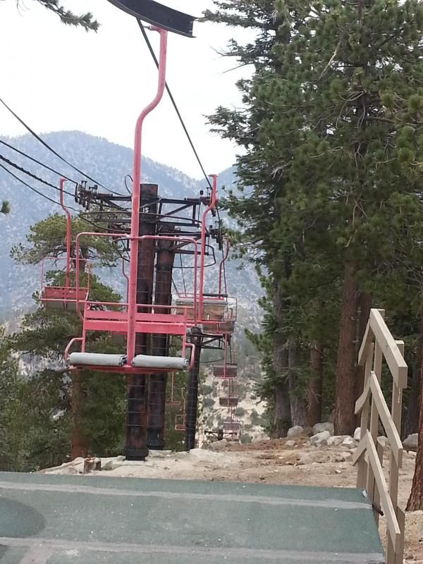
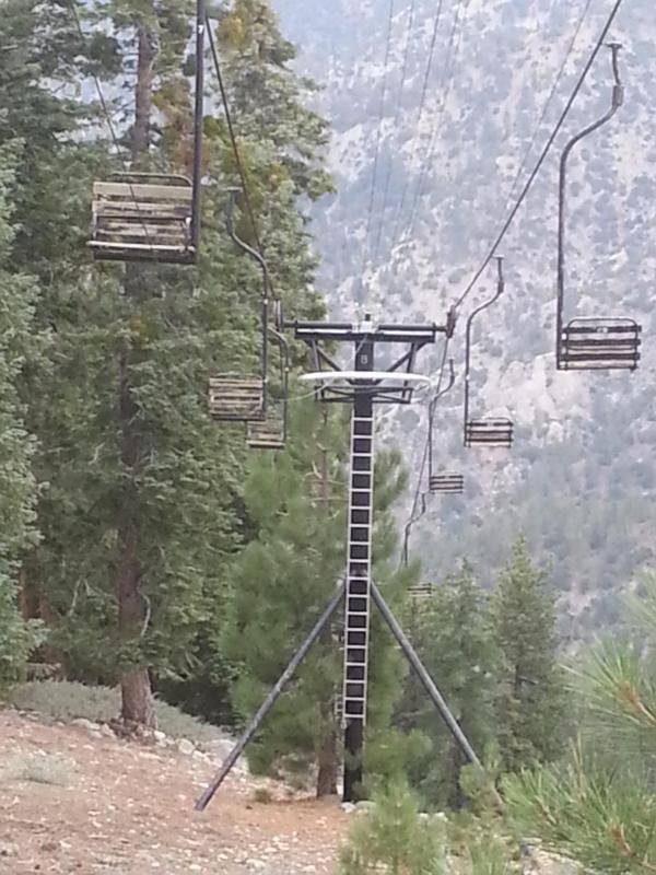
the Kratka single chair
Image

view of Kratka from Waterman
Image

the Waterman chair
Image

more rain moving in, time to go
Image
User avatar
HikeUp
Posts: 3855
Joined: Thu Sep 27, 2007 9:21 pm

Post by HikeUp »

One of my favorite areas is between Kratka and Waterman. Thanks for the pictures!
User avatar
Sean
Cucamonga
Posts: 3782
Joined: Wed Jul 27, 2011 12:32 pm

Post by Sean »

Thanks for the report. Do you have a track of the traverse west of the lift on Kratka to Waterman? I tried to follow the ridgeline the entire way, but ended up at the exit to Buckhorn. There is a big drop on the actual ridge that seemed like trouble.
User avatar
anarchist
Posts: 75
Joined: Sat Jan 04, 2014 7:57 am

Post by anarchist »

Sean wrote: Thanks for the report. Do you have a track of the traverse west of the lift on Kratka to Waterman? I tried to follow the ridgeline the entire way, but ended up at the exit to Buckhorn. There is a big drop on the actual ridge that seemed like trouble.
sorry no track, at the saddle I continued southwest uphill past the remnants of what appears to be an old ski rope tow and eventually the ridgeline. Following that ridgeline to where it meets the Waterman trail. Its a really nice section once your on the ridgeline. I hope that helps.
User avatar
HikeUp
Posts: 3855
Joined: Thu Sep 27, 2007 9:21 pm

Post by HikeUp »

Pics from my stroll in the area...

https://www.flickr.com/photos/hikeup_pa ... 743640462/

That big dip just west of Kratka is steep on both sides of the low point, especially on the west side...where the rope tow and old building are located. West of that it is an easy stroll. TR...

https://eispiraten.com/f ... 0-asc-.php
User avatar
outwhere
Posts: 323
Joined: Sun Jan 25, 2009 5:40 pm

Post by outwhere »

Anarchist - been meaning to tell you how much I liked your photos! Really captures the terrain and overall feel of the area... thanks for taking the time to post 'em...

Hike up - I remember you posting those TR photos - checked them again, so many great shots but i REALLY love these two

Image


Image

:shock:
Post Reply