Iron Mountain

TRs for the San Gabriel Mountains.
Post Reply
User avatar
dima
Posts: 1349
Joined: Wed Feb 12, 2014 1:35 am

Post by dima »

My trips usually aren't eventful enough to warrant a TR, but this one was good, so here goes!

I'm getting back into shape after being injured for a while, and climbing Iron seems like a good test of one's fitness. This being a fitness hike, I took the "easy" route both ways: Heaton Flats trail to the South ridge of Iron.

There were two fires in the area in the last week: one in the Shoemaker Canyon area (Shoemaker fire) and another somewhere west of there (Tecolote fire). The Tecolote fire must still be going since Hwy 39 above East Fork Road was closed to traffic. The Shoemaker fire is done, and here's what the aftermath looks like:

Image

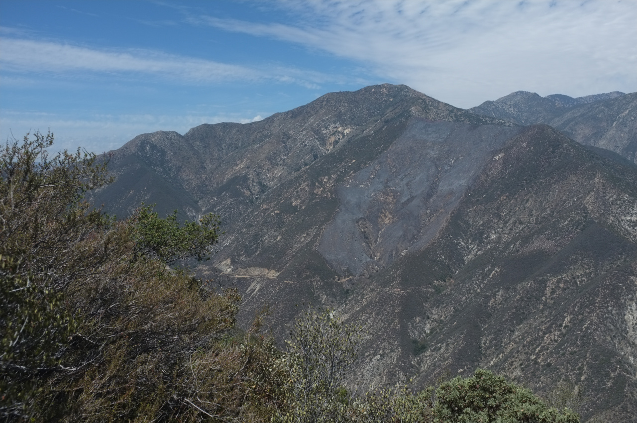
The "normal" route up Rattlesnake peak is on the ridge on the left side of this photo, away from the burned area (it's heavily burned from another fire a few years back, however). The secondary route up Rattlesnake peak travels right next to the burn area, however.

I left the parking lot before dawn to beat the heat. The trail is in good shape. Dawn broke when I was at Coldwater saddle, so it stayed cool more or less the entire way up. The view were great. The city was covered with the morning fog, and looked like this from the ridge:

Image

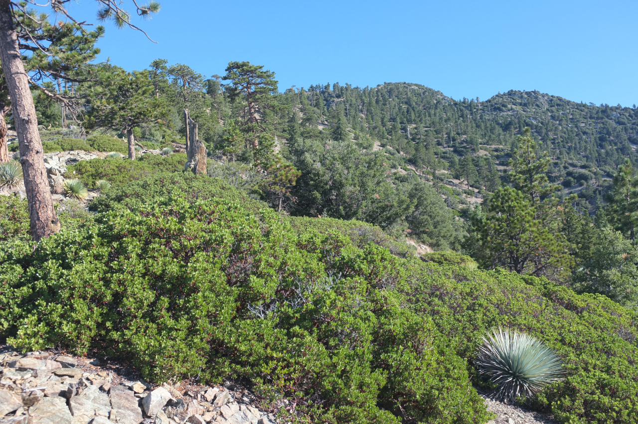
I kept a good pace, stopping periodically to listen for wildlife. This strategy paid off. At one point there was quite a bit of commotion around a manzanita bush. I took a quick photo:

Image

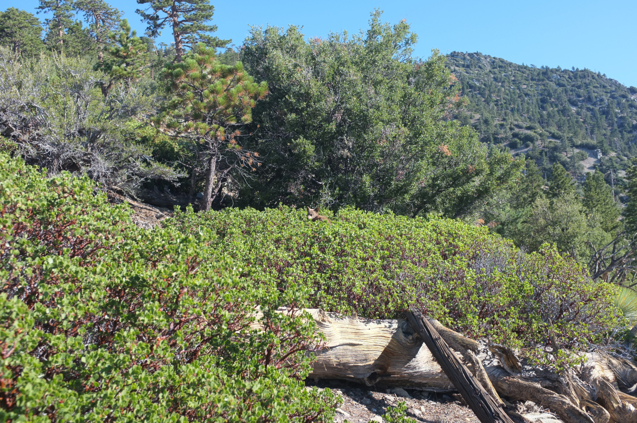
I promise there's something there; dead center. There were two black bear cubs, but no mother to be seen. One of the cubs scampered off the instant he saw me, but the other hung out long enough for me to get a better photo:

Image

I thought black bear cubs stayed with their mother for a long time. Does the mother ever leave for a while?

The South ridge has a fantastic view of San Antonio Ridge and Gunsight Notch:

Image

Looks terrifying. Views from the top were pretty great:

Image

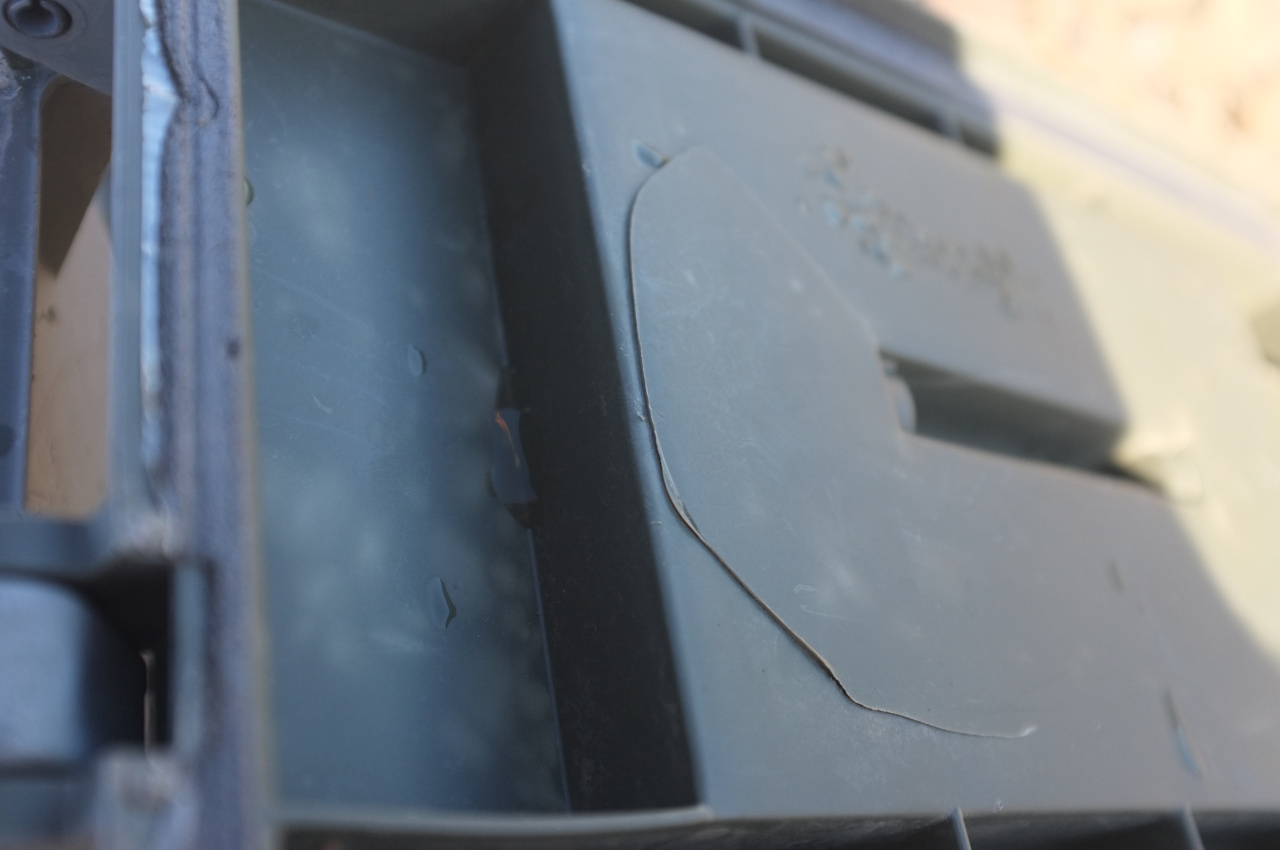
According to the register, nobody has been on top for over 3 weeks. I have a bit of a hard time believing this, but that's what it said. The box containing the registers has a crack in the lid, and most of the notebooks inside were soaked:

Image

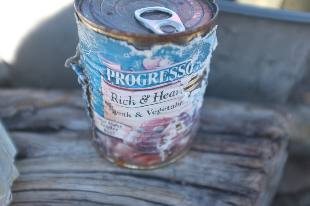
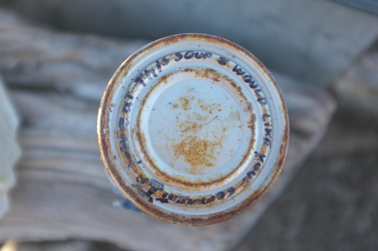
If anybody wants to be a good samaritan, bring a new box next time you go up there. Finally, there was a can of soup on top with a request that a review be left by whoever eats it. This was very tempting, but I had no utensils on me.

Image
Image

On the way back down I saw one of the cubs again. This time he (she?) was on the path proper, and climbed the nearest tree upon seeing me. It was getting hot at this point, so I just kept on walking.
User avatar
hvydrt
Posts: 494
Joined: Thu Sep 27, 2007 8:18 pm

Post by hvydrt »

I love that soup, I am headed to Iron ASAP! Nice bear sighting!
User avatar
HikeUp
Posts: 3855
Joined: Thu Sep 27, 2007 9:21 pm

Post by HikeUp »

Holy moly! Best pictures ever taken of the San Gabriels IMHO. Bonus feature - no sign of the sprawl.
User avatar
Mike P
Posts: 1005
Joined: Tue Oct 02, 2007 10:48 pm

Post by Mike P »

Nice!!! You can see Brown's Flat peeking out beyond a ridge in your south-facing panorama.
User avatar
tekewin
Posts: 1195
Joined: Thu Apr 11, 2013 5:07 pm

Post by tekewin »

One of the best panoramas I've seen. Views sure are great from Big Iron.

Bear cubs a big bonus, but I would have been nervous to see cubs and no mother. Never mind, I'd probably be nervous either way.

I'm thinking it might be an interesting time to do the alternate route up Fried Rattlesnake. I think Shoemaker is still closed so you might have to start at Heaton or down at the road junction.

Thanks for the great report!
User avatar
dima
Posts: 1349
Joined: Wed Feb 12, 2014 1:35 am

Post by dima »

tekewin wrote: Bear cubs a big bonus, but I would have been nervous to see cubs and no mother. Never mind, I'd probably be nervous either way.
I was really nervous. My camera has a fixed 35mm lens (which is fairly wide), so I had to get close to even get the shots I did. I hung around for a bit to make sure no adults were around, then went in for the photo.
tekewin wrote: I'm thinking it might be an interesting time to do the alternate route up Fried Rattlesnake. I think Shoemaker is still closed so you might have to start at Heaton or down at the road junction.
I did the fried-in-2012 route up Rattlesnake a few months ago, and it was borderline unpleasant. There was no shade of any sort up until the peak. Everything was burned and dead. Even the rattlesnakes had better places to be.
User avatar
dima
Posts: 1349
Joined: Wed Feb 12, 2014 1:35 am

Post by dima »

Mike P wrote: Nice!!! You can see Brown's Flat peeking out beyond a ridge in your south-facing panorama.
Oh yeah! I've never been there, but that's when the map says it should be. There aren't any trees in the flat itself? What is it like?
User avatar
Bobcat22
Posts: 10
Joined: Fri May 02, 2014 6:10 pm

Post by Bobcat22 »

Thanks for the trip report. Really awesome pictures
User avatar
Mike P
Posts: 1005
Joined: Tue Oct 02, 2007 10:48 pm

Post by Mike P »

dima wrote:
Mike P wrote: Nice!!! You can see Brown's Flat peeking out beyond a ridge in your south-facing panorama.
Oh yeah! I've never been there, but that's when the map says it should be. There aren't any trees in the flat itself? What is it like?
According to Robinson's book, The San Gabriels , Brown's Flat is an ~80 acre "verdant mountain meadow unusual in the San Gabriels" with a rich history. Several fires (1960, 1975, 2003) have decimated the large Ponderosa pines that existed in the flat. A few trees look like they survived but I haven't been there to confirm. I've only viewed the flat from afar.
User avatar
Phil B
Posts: 101
Joined: Wed Oct 03, 2007 12:47 pm

Post by Phil B »

Nice post Dima, seeing a couple of bears must have made the endless uphill of Iron worthwile, that soup sure looks tasty, perhaps I will bring a can opener on my next trip up there. Thanks for the report.
Cheers Phil
Post Reply