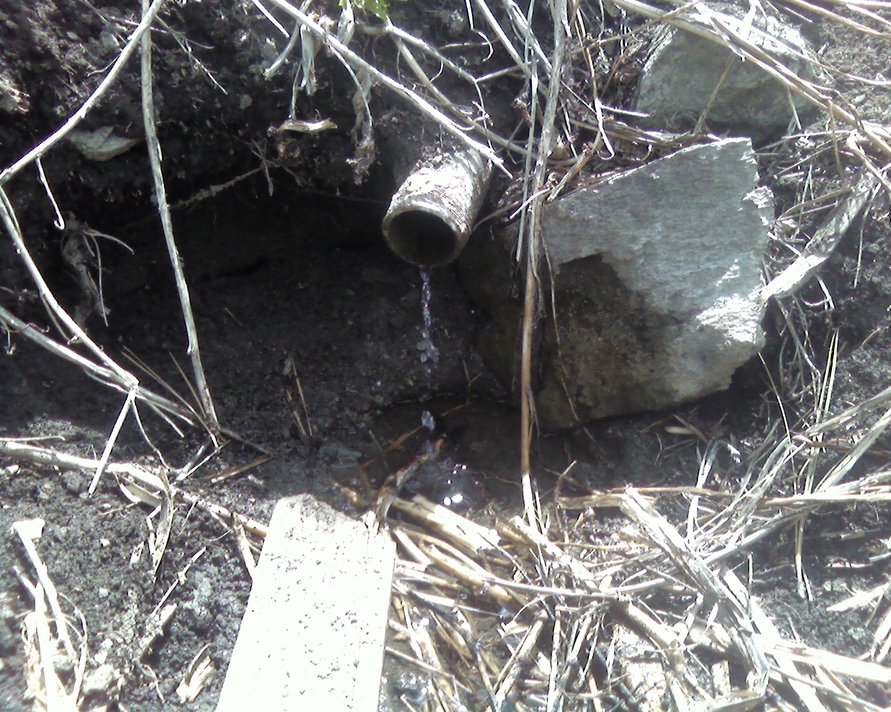
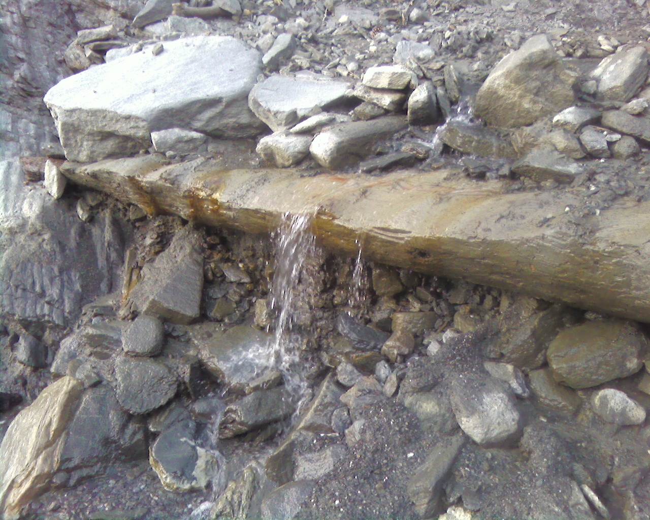
It was flowing at a rate of one liter per two minutes.
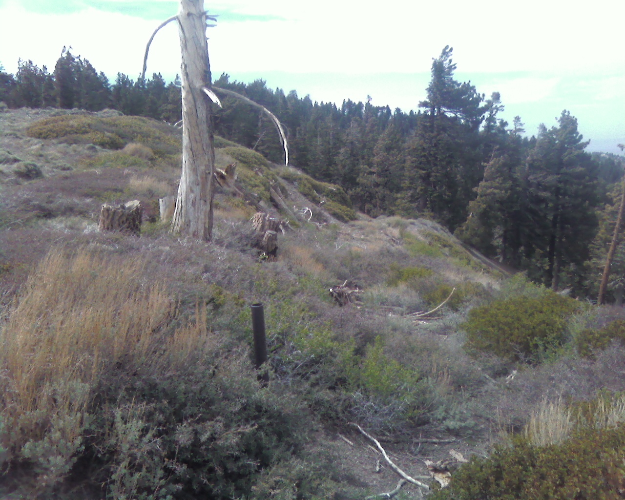
Then I noticed that across the gully there was an old roadbed. Hey, I thought, that must be something. So I hopped over some logs and followed it. After a pleasant journey around the head of Flume Canyon, the road climbed up to the Blue Ridge and PCT Trail, amongst dead tree field west of Guffy.
During the walk back to the Acorn Trailhead I bumped into several thru-hikers. They had already done 300 miles and looked real beat up, except for one young dude who was rather sprightly.
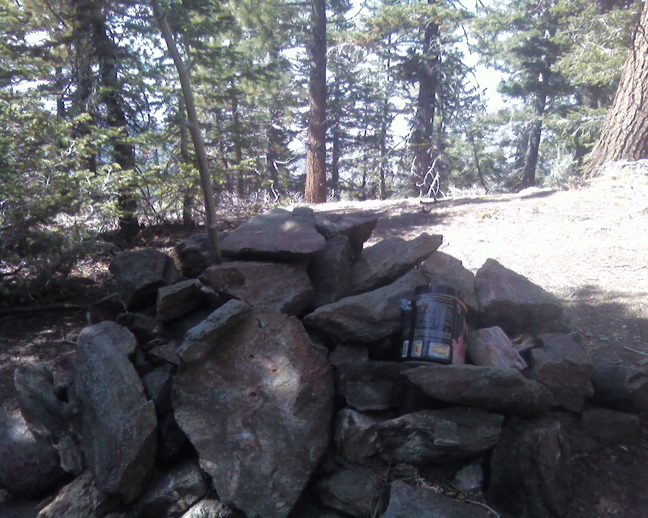
After seeing these monsters, I decided that my little trip to Guffy was unworthy of such a beautiful day. So I continued eastward to Wright Mountain and logged my visit in yet another one of Mars Bonfire's register books.
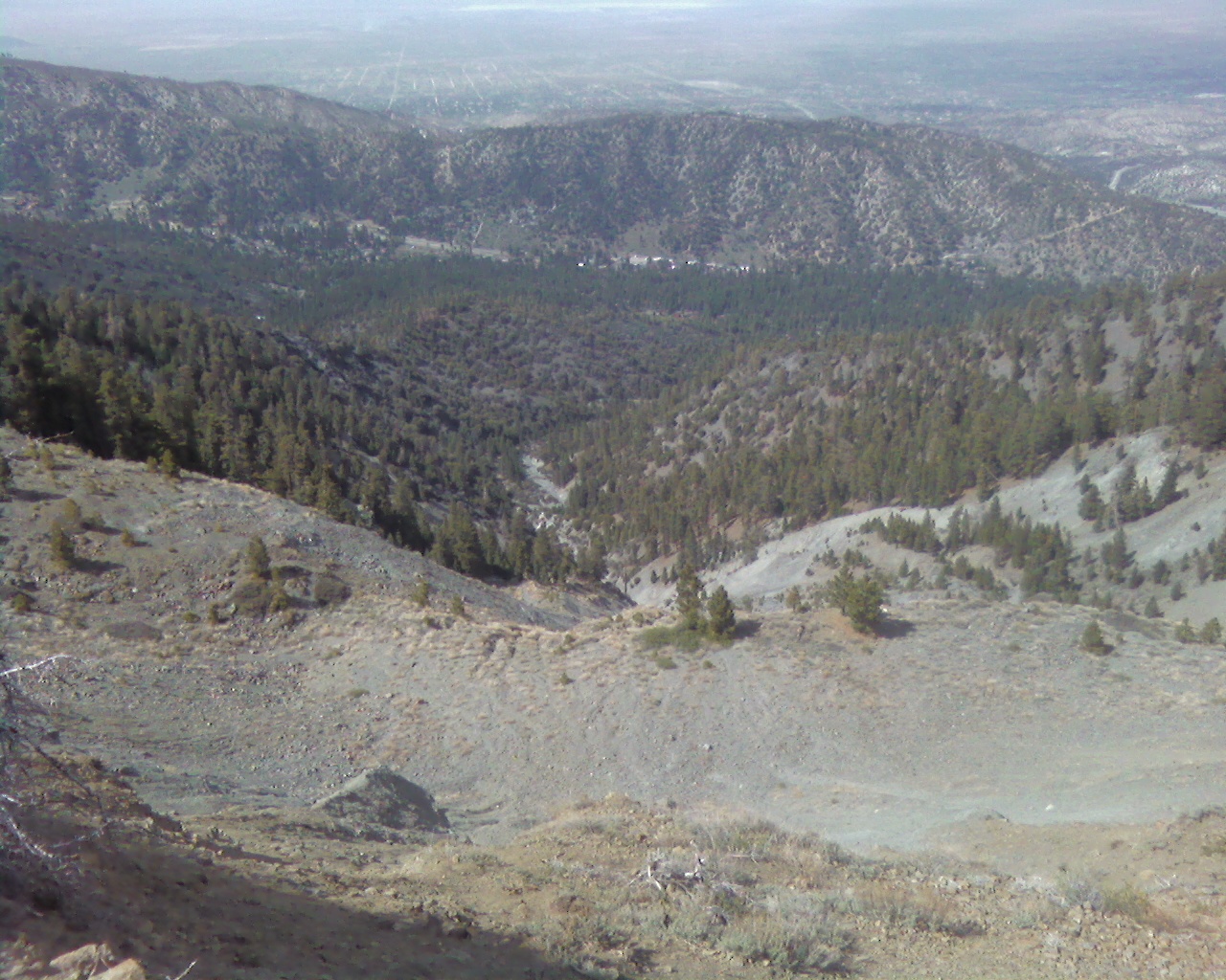
Still unsatisfied, I went all in and tried something that might get me in trouble: a descent of Heath Canyon, which helps drain Wright Mountain on the northern side.
First I followed the NE ridge to Point 8027.
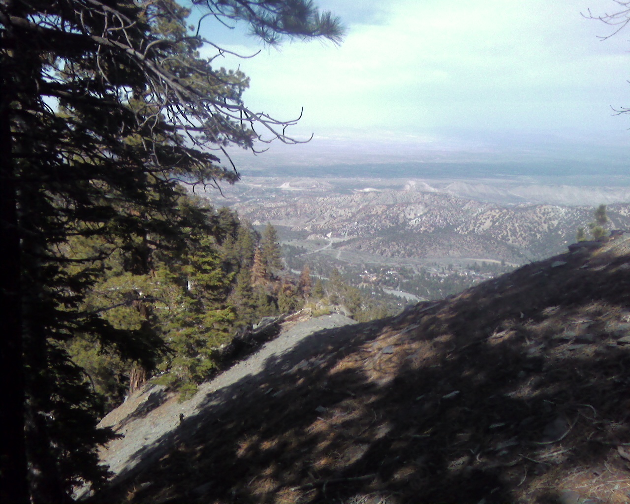
Then I backtracked a bit and dropped off the ridge, into a flat area, before finding a steep, muddy, loose side gully to follow.
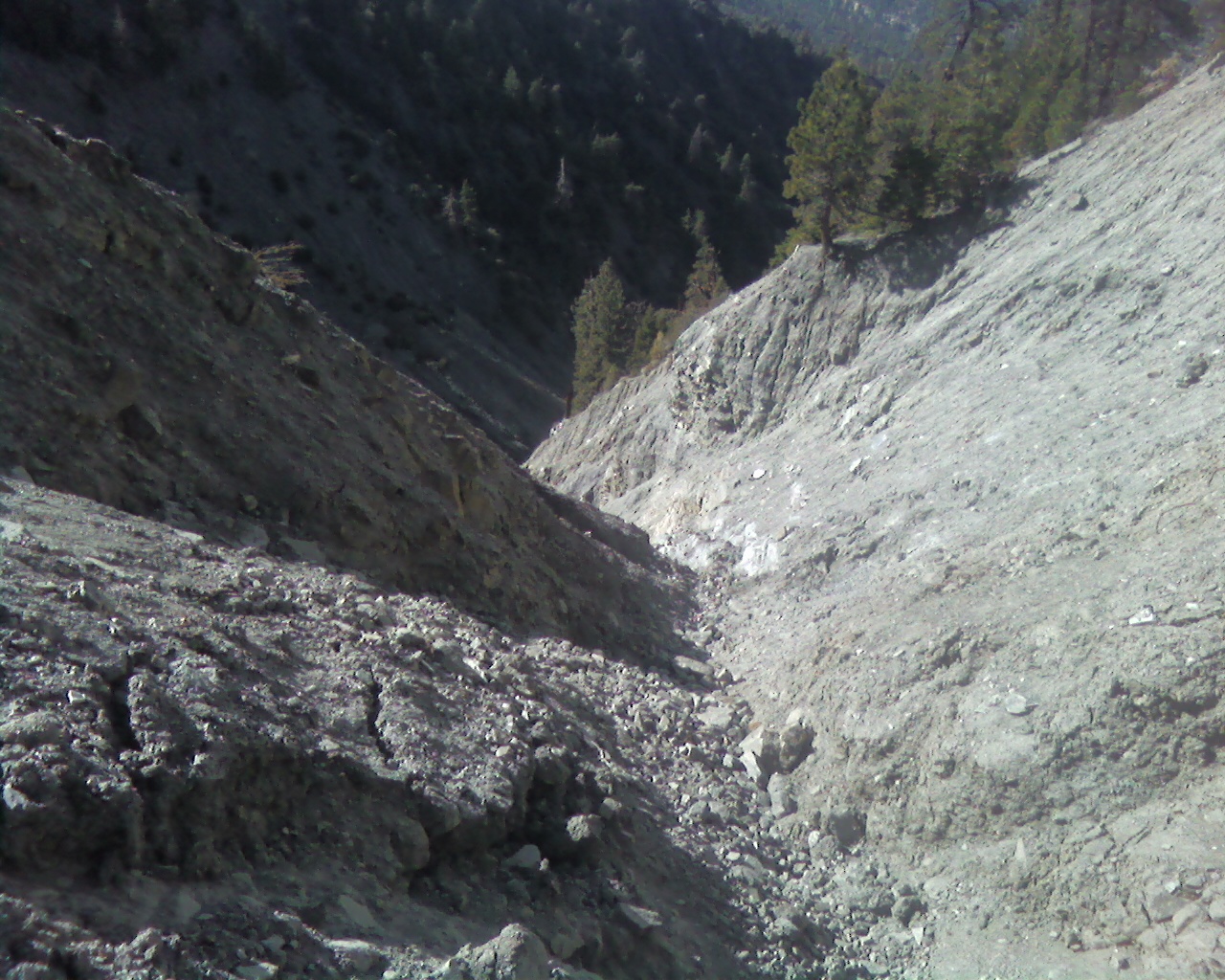
For the next few minutes I debated with myself whether to continue, not knowing whether I would get stopped and have to retreat back up to the ridgeline. Ultimately, I convinced myself that it would probably be okay, and so I dropped in.
I'm pretty sure it's impossible to stay upright in this small tributary. I had to carefully slide down on my butt several times. Even so, I nearly went head over heels once and banged up my side a bit. Some trickling water led into the main course, which flowed nicely down a series of lovely cascades.
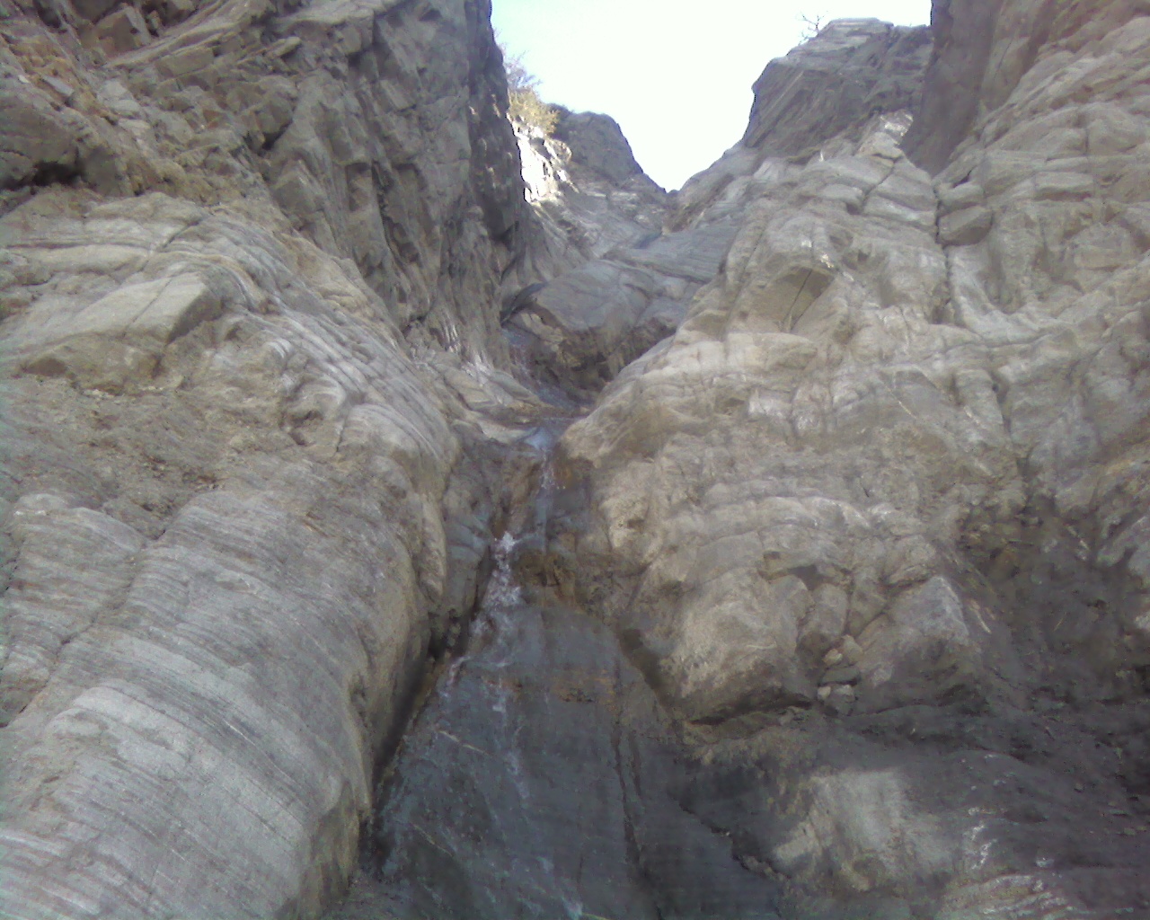
Unfortunately I left my Panasonic Lumix camera at home, and my crappy dumbphone pictures don't do this area justice.
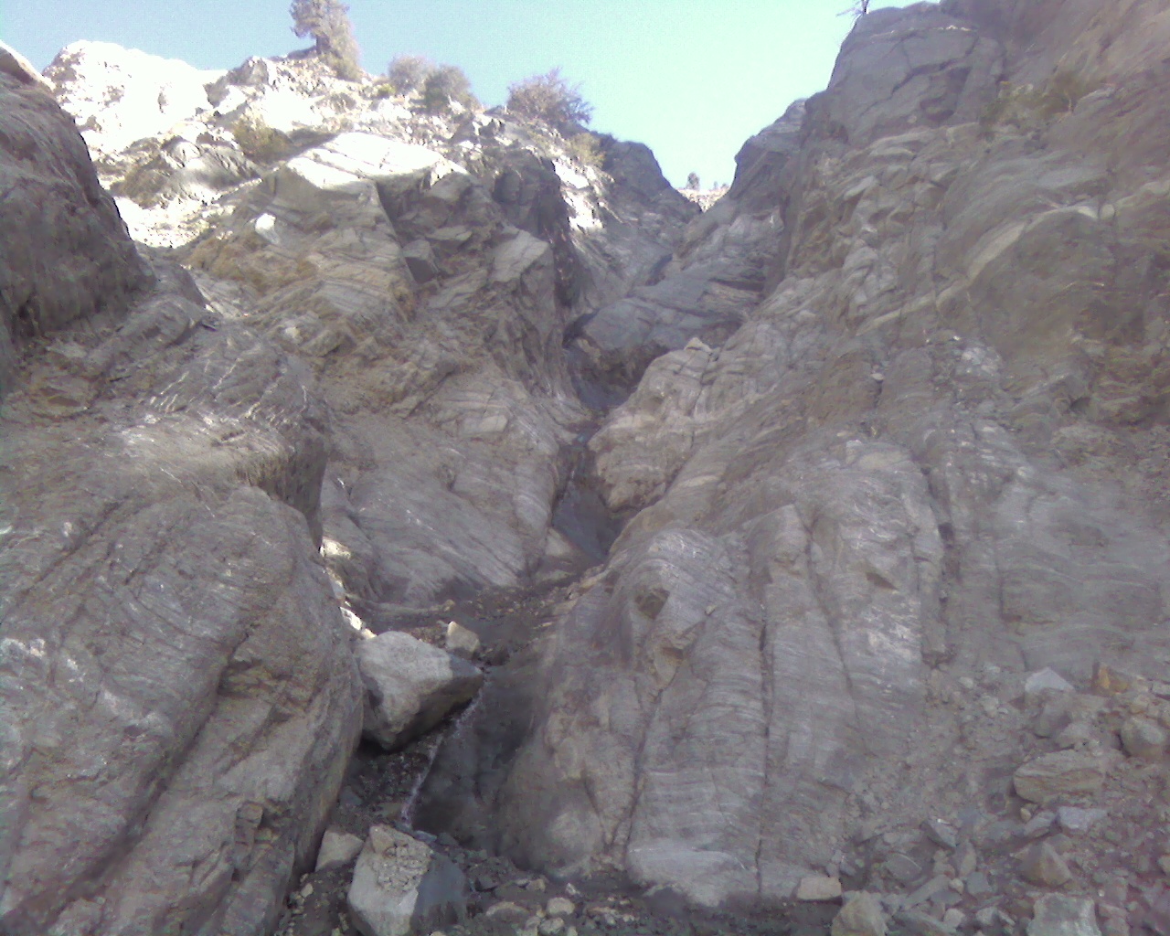
After much fun bouldering and downclimbing the canyon next to a baby stream, I looked for a way to cross over a ridge or two and reacquire the Acorn Trail.
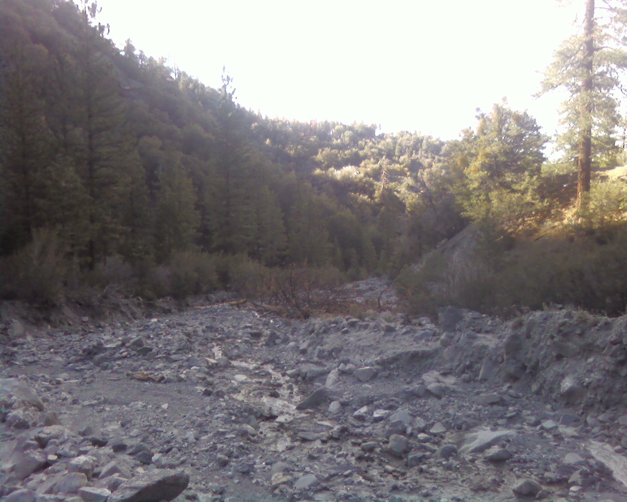
Thankfully the way was fairly obvious and I located the proper network of trails and got back without much difficulty.
Approximate route: http://caltopo.com/map?id=2Q1R