delightful little hike in the Vincent Gap area. I rolled out of Simi around 0430,
arriving at the Gap just before 0620SHT (standard hiking time). There was a young
couple in the lot gearing up for what looked like an overnight adventure. It was
with great sadness that I had recently retired my trusty Kelty Redwing 2650. It was
a great pack through thousands of miles of year-round hiking. The straps had grown
too stiff, the side pouches were torn and had lost their elasticity. The new Marmot
Verve 42 did well, though it's going to take me some time to adjust to the new
configuration.
Hiking down the Gulch to the Prairie Fork confluence was uneventful, save
for several new deadfalls, all easily bypassed. Though I had my little saw and
geared pruners with me, I knew that I was in for a long day, so no trail clearing
today. I made the obligatory pass by the glider wreck then crossed back over the
wash to the eastern bench and the Prairie Fork connector trail.
Today's was by far the easiest time I had routefinding to Cabin Flat, though it
required climbing over several clumps of tangled fallen trees. I was actually
surprised to find myself on the old roadbed on the south side of the fork so
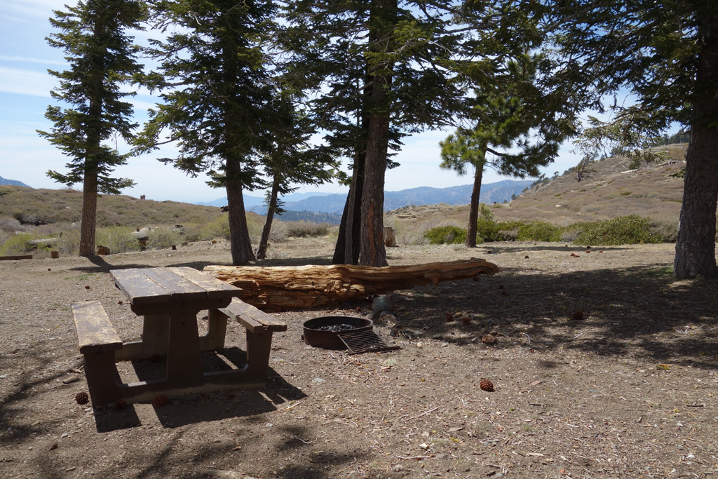
quickly. I stopped for a brief rest and snacks at Cabin Flat, and was amused by a
mass of 22 caliber brass and many bullet "scrapes" on the picnic tabletop. I
continued my eastward journey up the dregs of 3N39, past the old guard station site
and took a loop through Lupine. I had seriously considered the Pine / Fish Fork /
Devil's Backbone / Wright Mountain route, but the snow on Pine looked somewhat
dangerous. Instead, I hiked up the road towards Guffy, opting for the eastward
split, and hopped onto the PCT westward. Following another snack at Guffy, I
continued west along Blue Ridge, remaining on the Pacific Crest Trail for the rest
of the day. There was enough snow and ice left in some of the north-facing sections
that I decided to slip on the Yaktrax; these ended up being useful enough to
warrant having carried them.
One of the (many) nice aspects of this hike was my completion of all the PCT
sections on the Angeles. I had never been on the segment between the reservoir and
Vincent Gap. I managed to get a little confused at the trail split through Jackson
Flat, and meandered a little before regaining the PCT. I was a little surprised to
find folks apparently in residence in their RVs in the closed campground. I
descended my final trail of the day, arriving back at the car around 1810.
Definitely better than a day at work
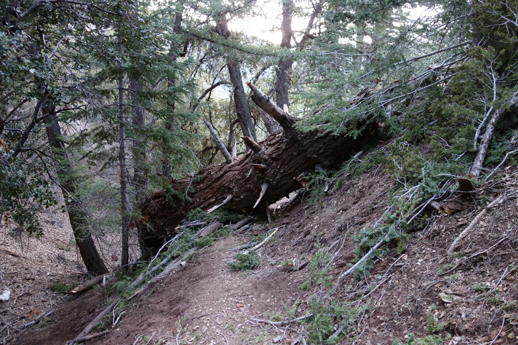
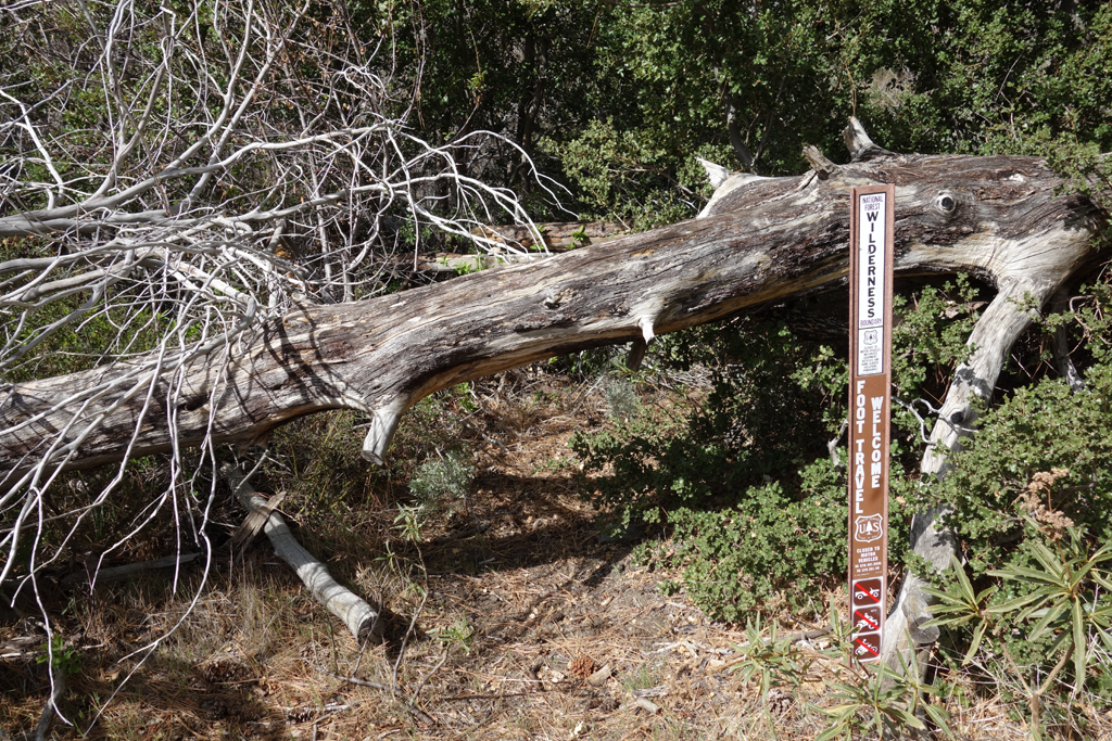
One of several new deadfalls across the Vincent Gulch trail.
Fairly typical trail conditions along Vincent Gulch.
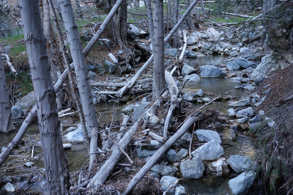
Nice water flow towards Mine Gulch.
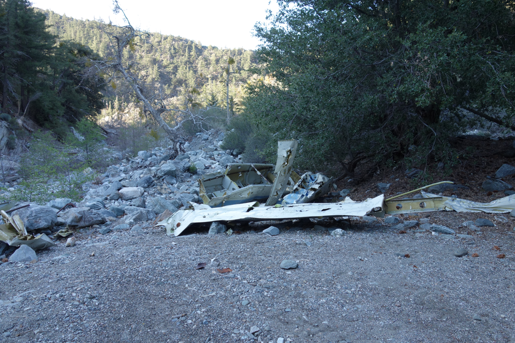
GPOG (Gratuitous Picture of Glider).
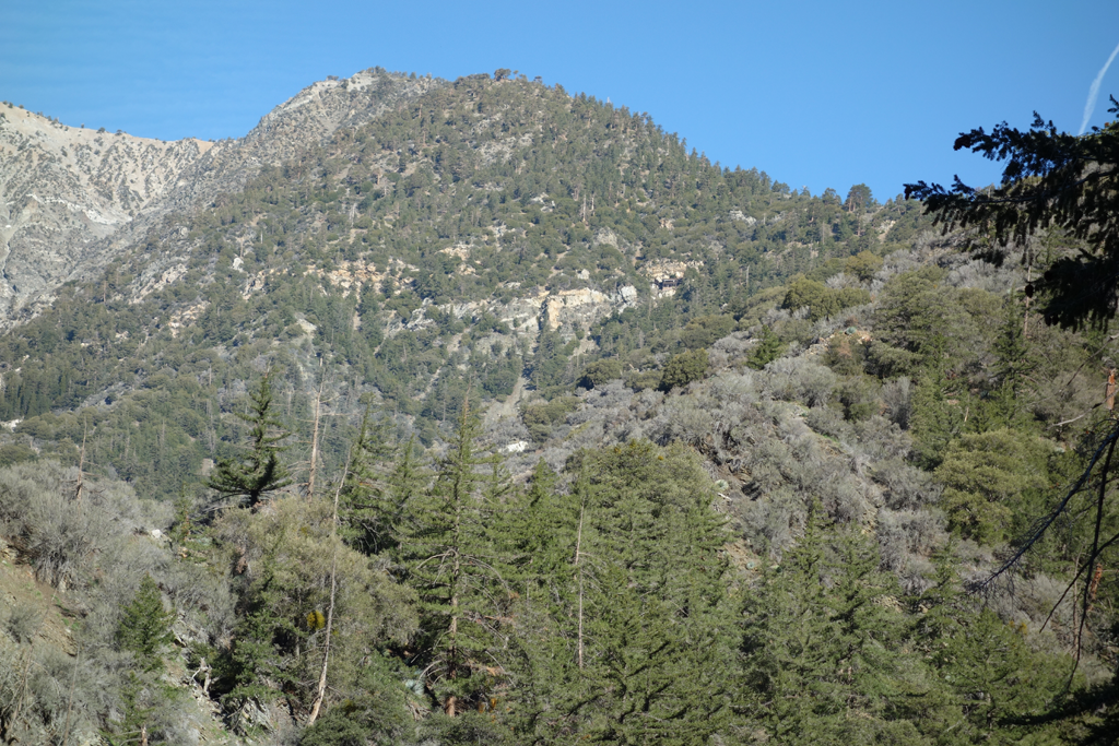
Big Horn Mine perched up on Baden-Powell's slope.
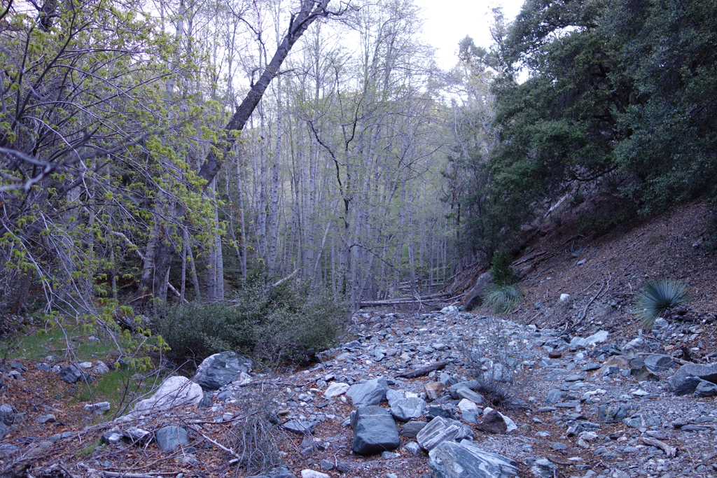
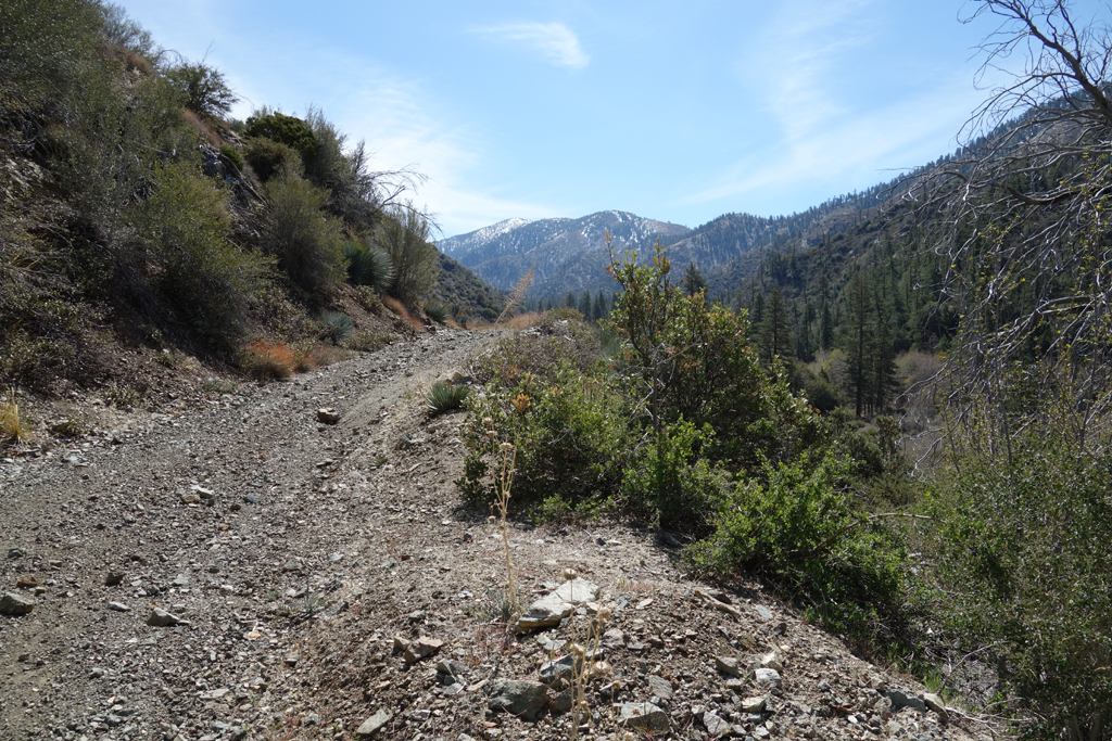
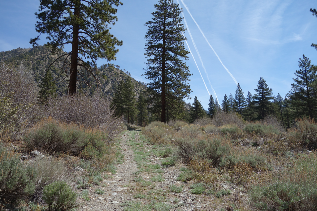
Not-impassible trail to Cabin Flat.
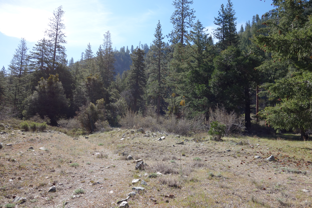
One of the easier stretches of the Mine Gulch - Cabin Flat trail.
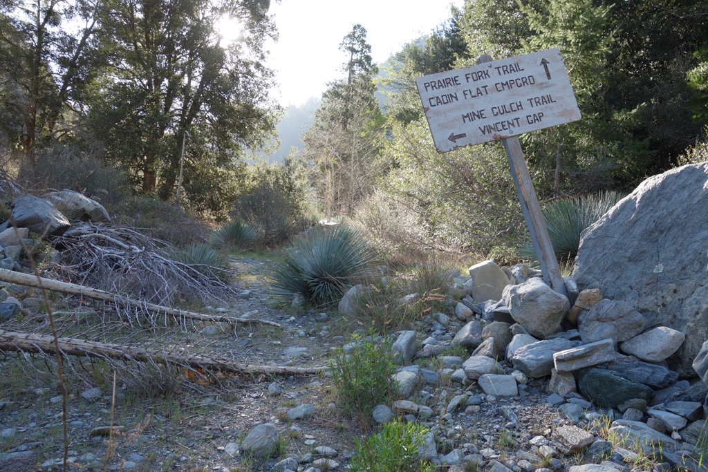
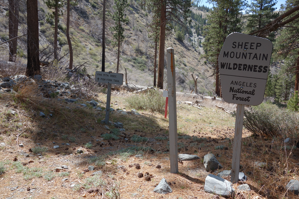
Obscure trailhead on the Cabin Flat end.
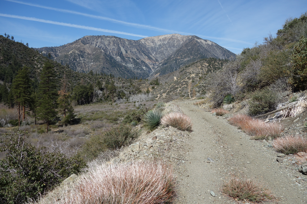
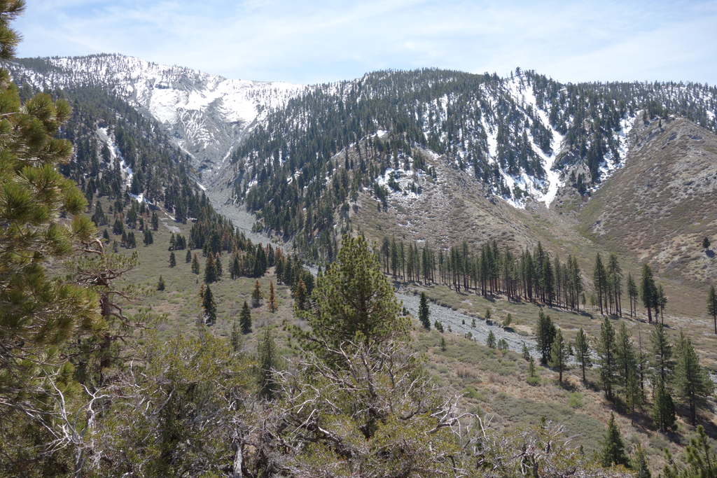
View towards Pine Mountain from the bend at Cabin Flat.
View of Mount Baden-Powell from the eastern edge of Cabin Flat.
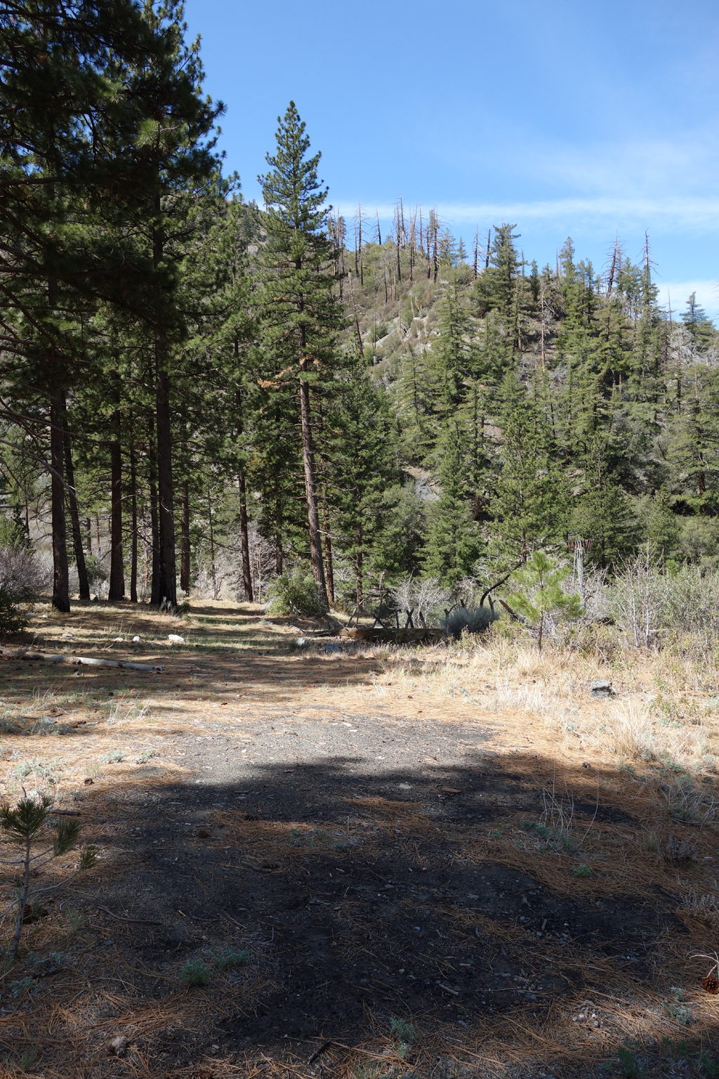
Site of the Prairie Fork (fire) Guard Station.
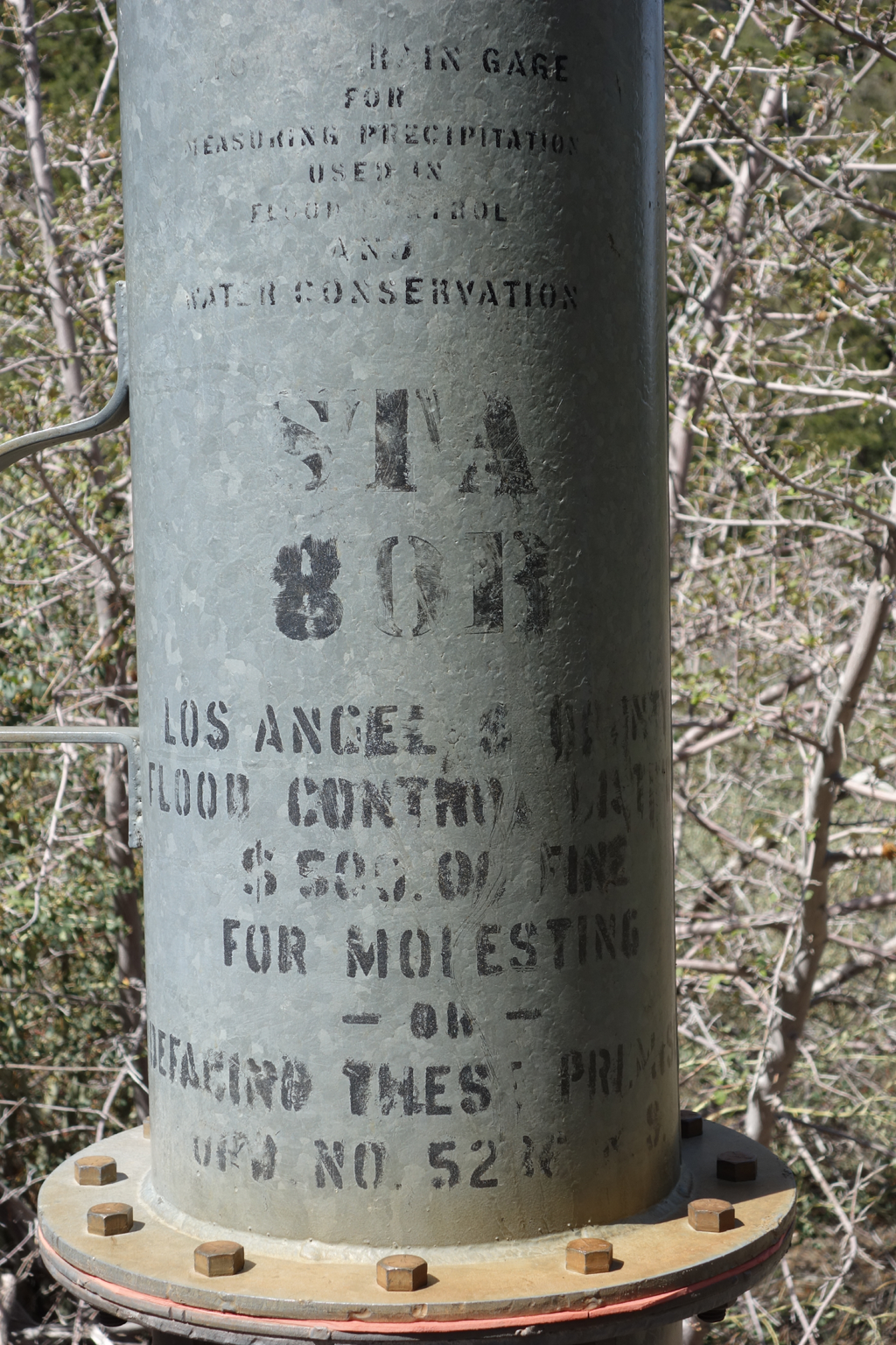
Warning notice on the precip gauge at Prairie Fork Guard Station.
Nice spot along 3N39 in Prairie Fork.
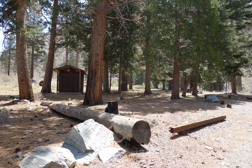
Lupine, another of my favorite developed camping spots.
The road not taken (this time).
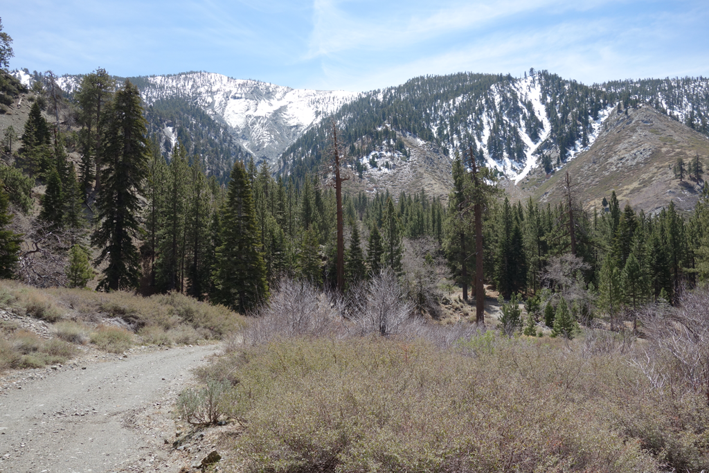
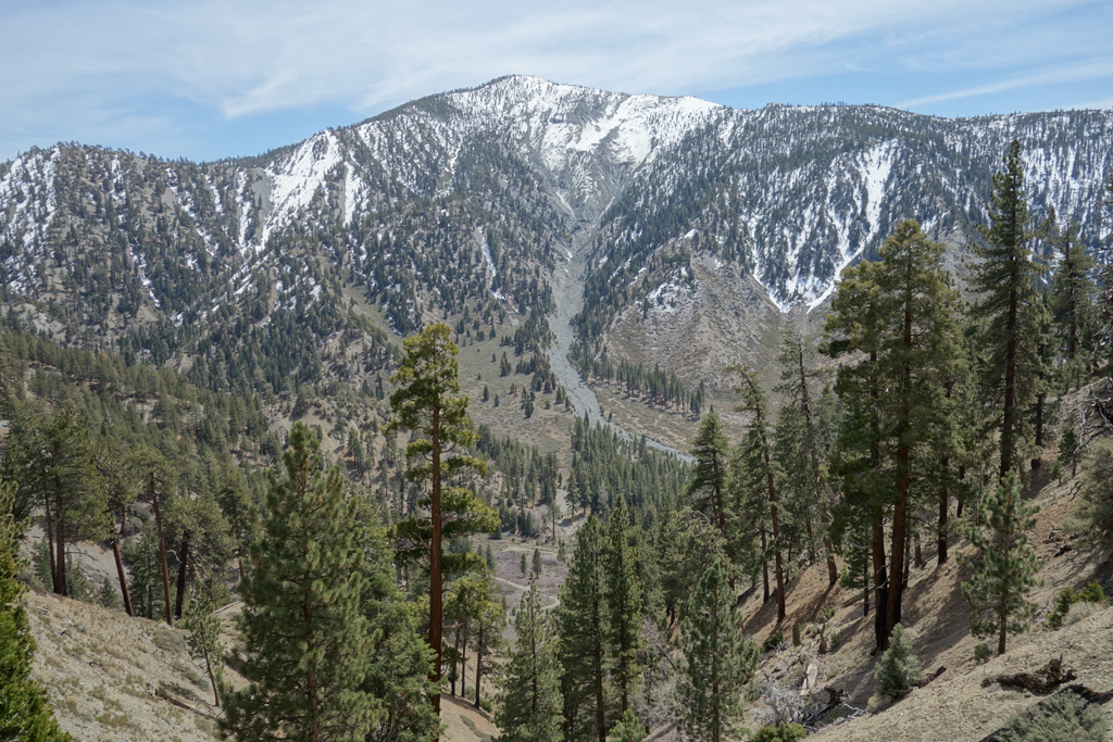
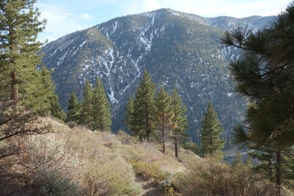
View back towards Pine Mountain as I begin the slog up to Blue Ridge.
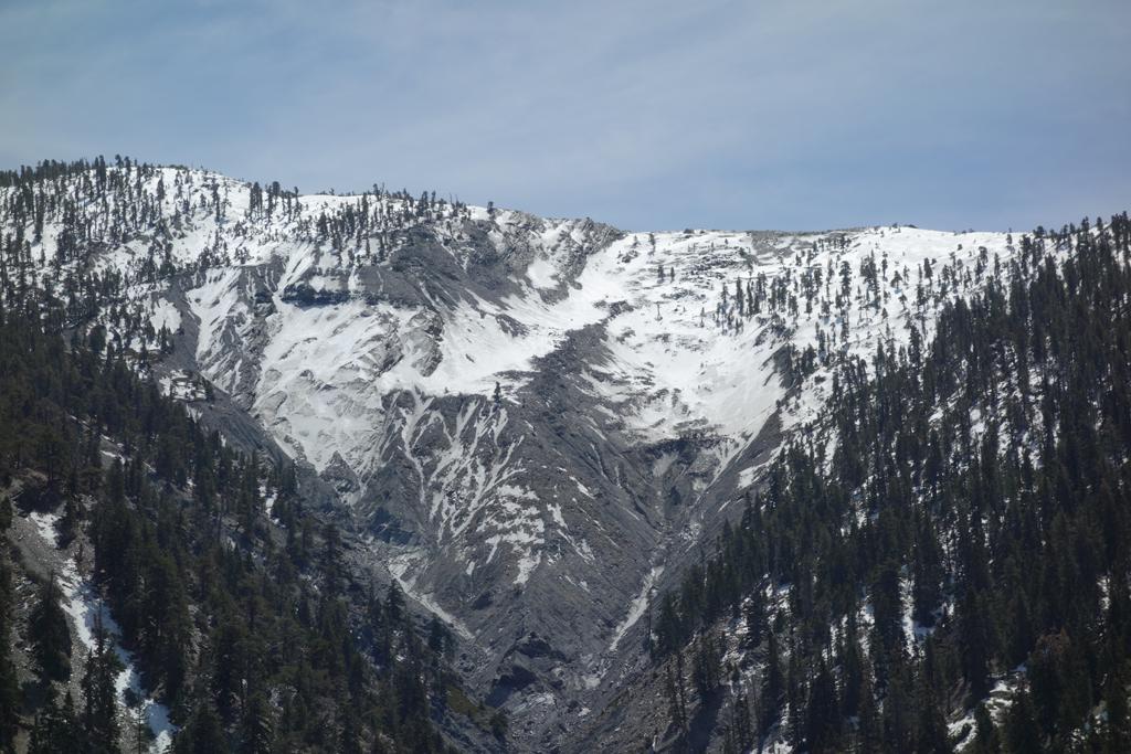
Nice view of the drainage on Pine's north side.
Always love scoping out this area from the Backbone!
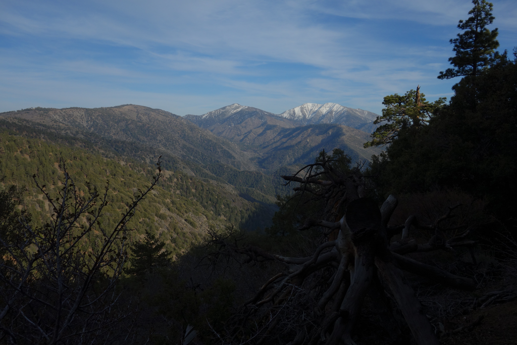
Surreal view of Pine Mountain (minus that huge western ridge).
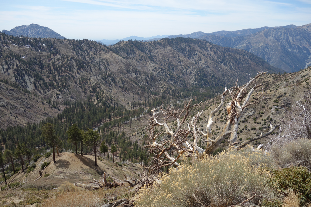
View down the Prairie Fork with Iron peeking over Pine's ridge.
My cozy ARRL field day spot on Guffy.
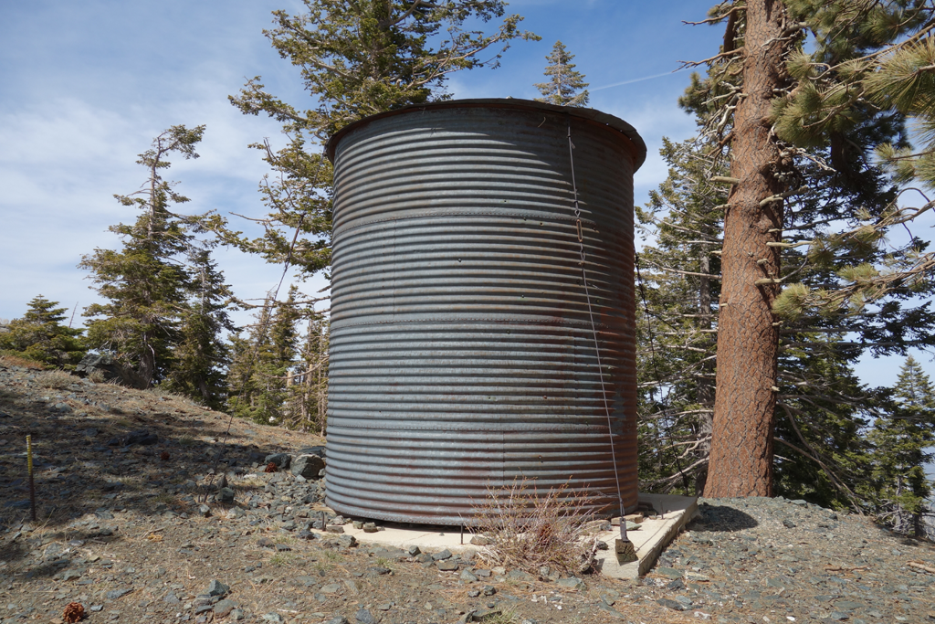
Water tank near the PCT on Guffy Campground.
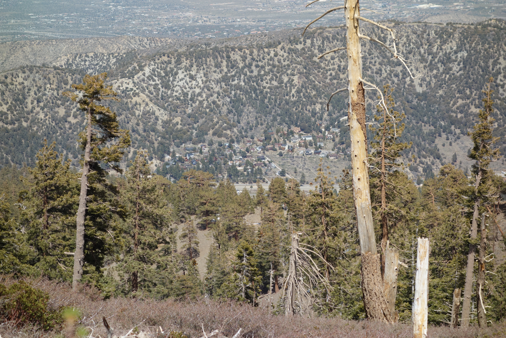
Wrightwood, as seen from PCT on Blue Ridge.
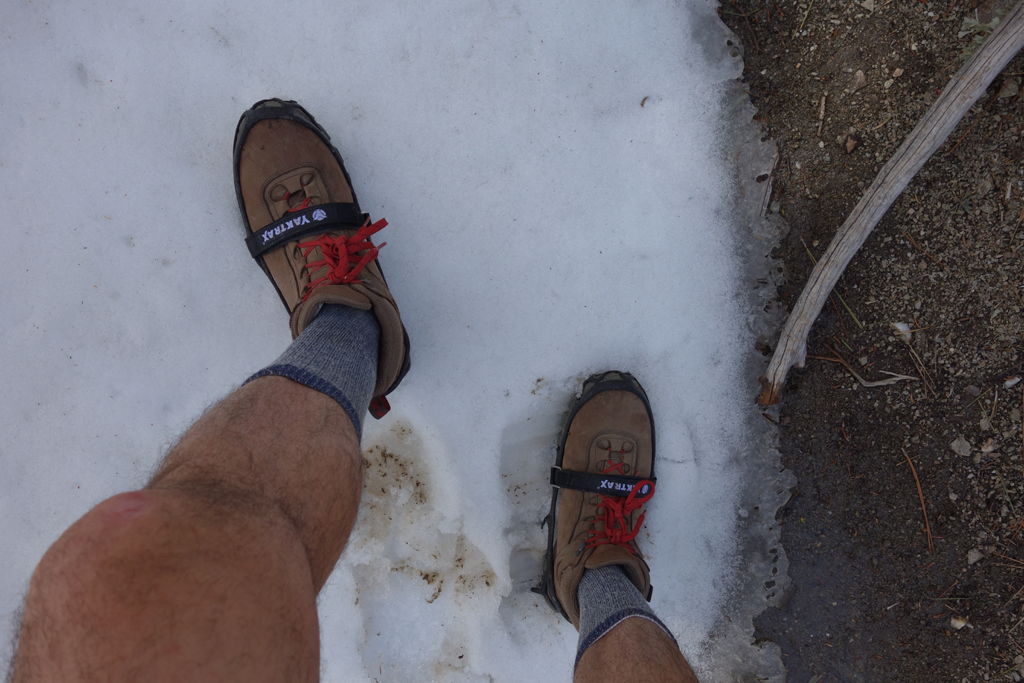
Virgin Yaktrax, first sweet taste of snow.
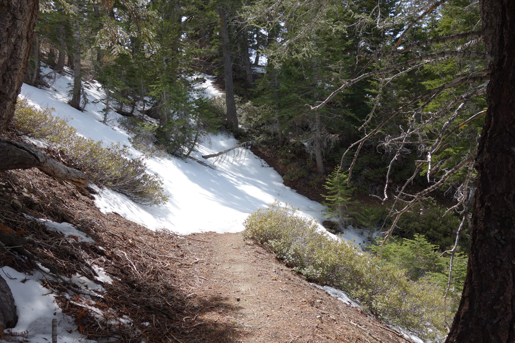
Reason for carrying Yaktrax; snow was quite consolidated and hard.
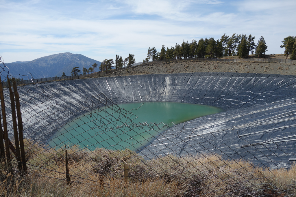
Mountain High East reservoir.
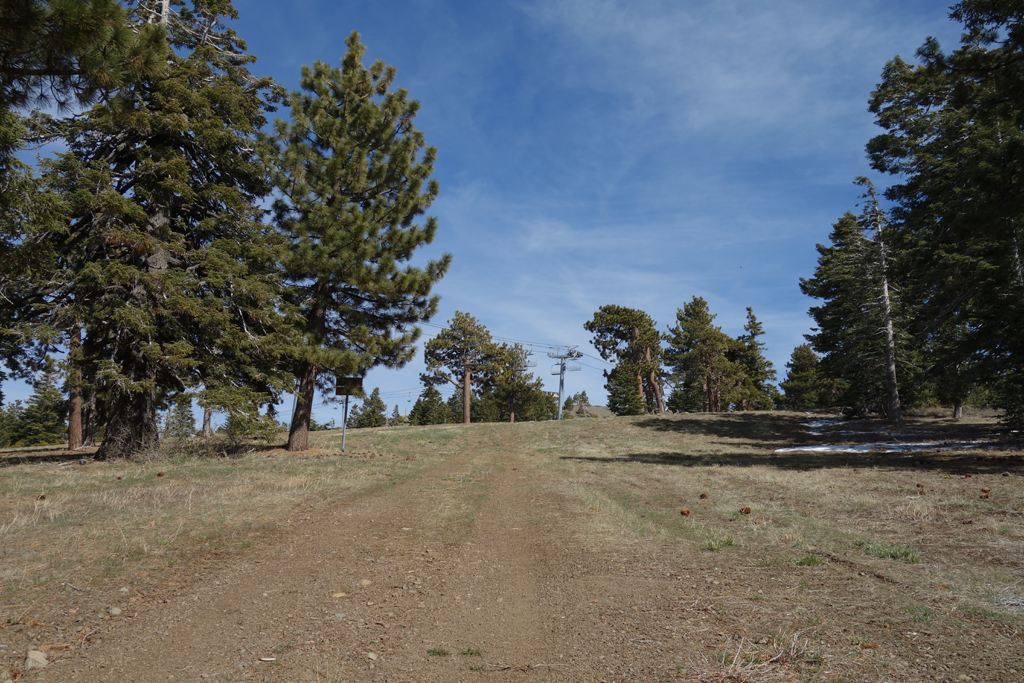
Pacific Crest Trail / Mountain High crossing.
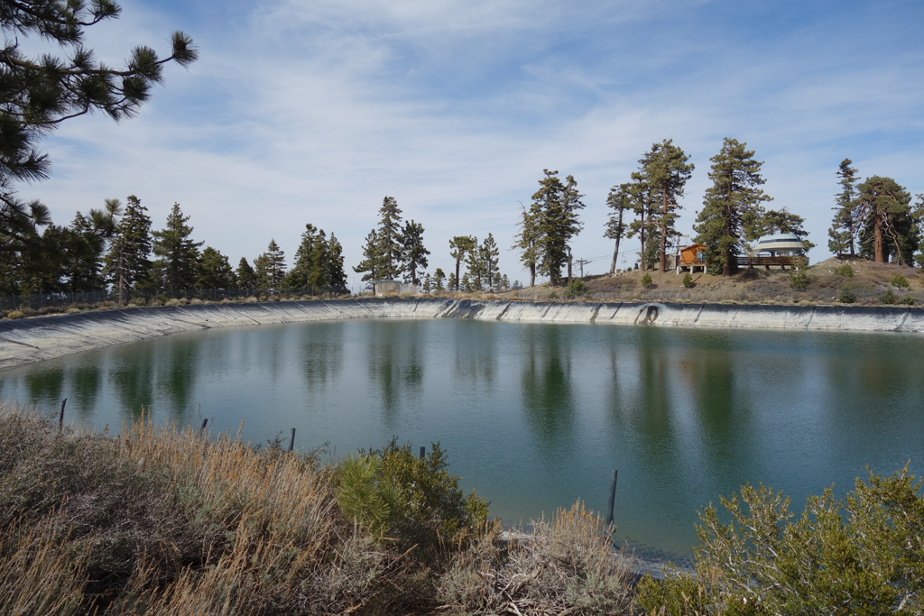
West Reservoir.

Little repeater shack above Grassy Hollow.
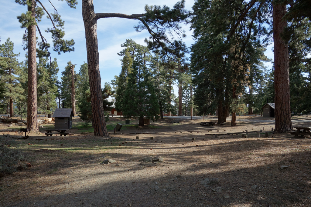
Grassy Hollow (or was this Jackson Flat?).
PCT northeast of Jackson Flat.
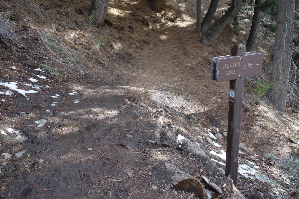
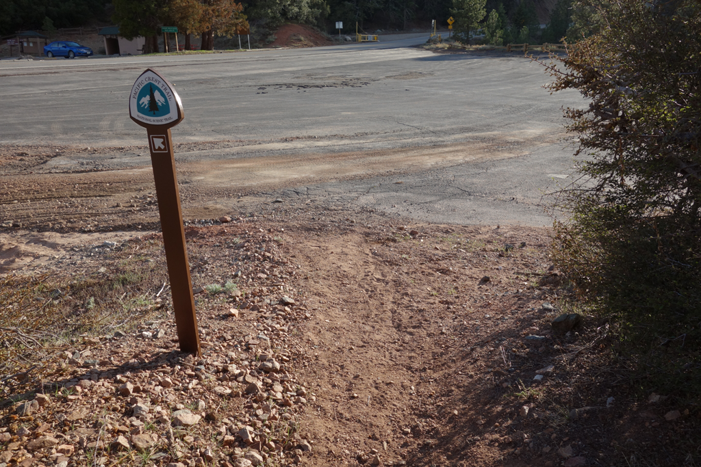
Trail ahead continues to Vincent Gap.
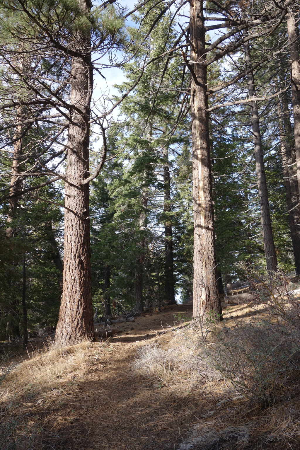
Sylvan spot between Jackson Flat and the gap.
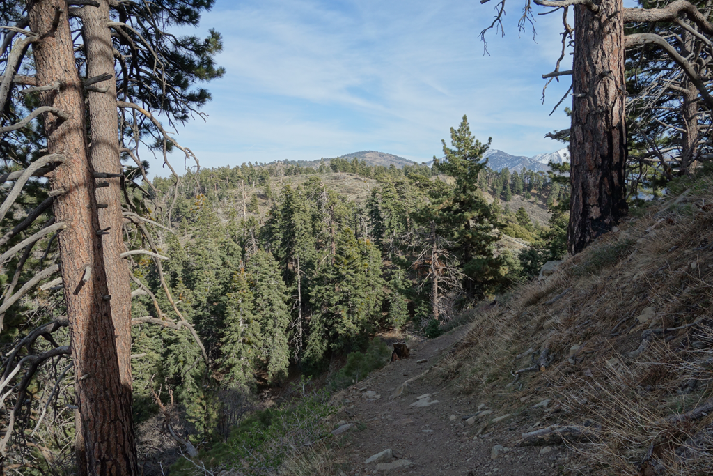
View of Mount Baden-Powell across ACH from the Crest Trail.
Blue Ridge, Pine and Baldy.
Back to "civilization".
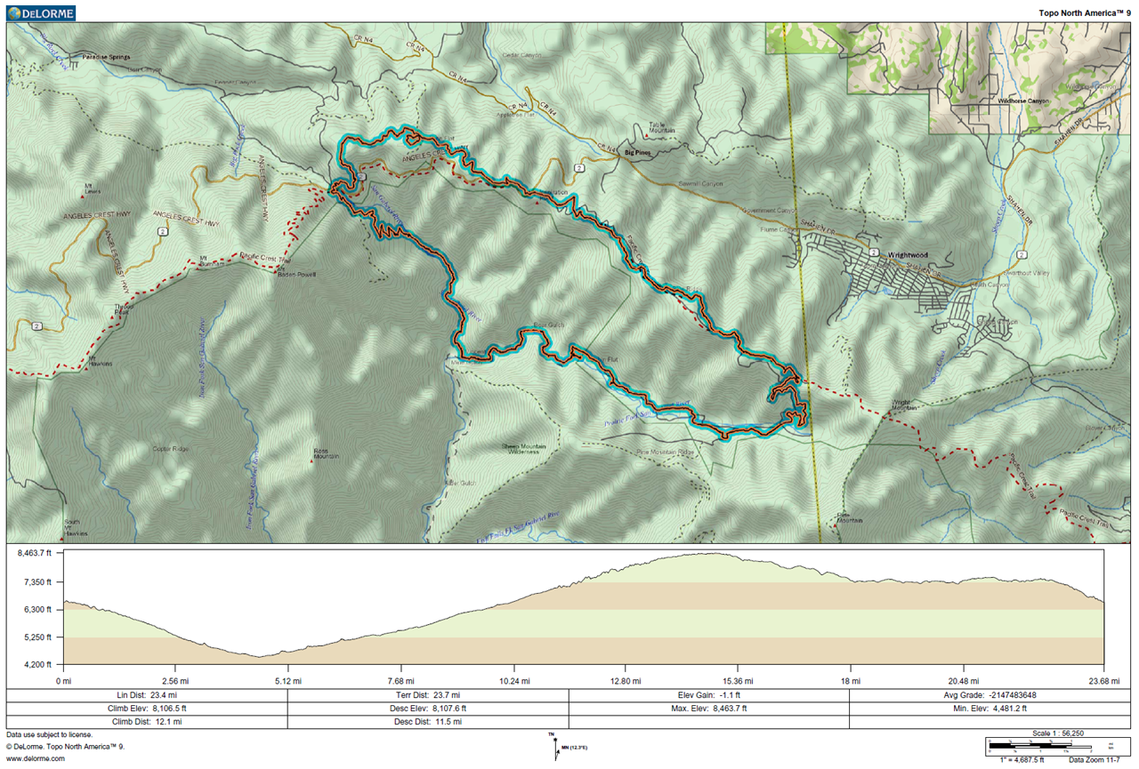
GPS track and profile plot.