

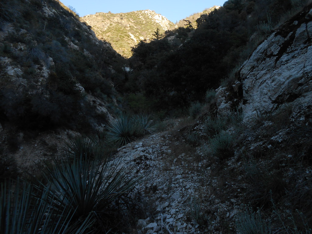
I stumbled across this abandoned trail near Switzer's recently and came back on another trip to follow it a bit more. In some of the rocky sections you can tell this thing was built to last. Along the slopes and in drainages, it's a bit worse for wear, but generally navigable if you enjoy a thrash through the bushes. I guess this must have been the standard trail up canyon from Switzer's camp.
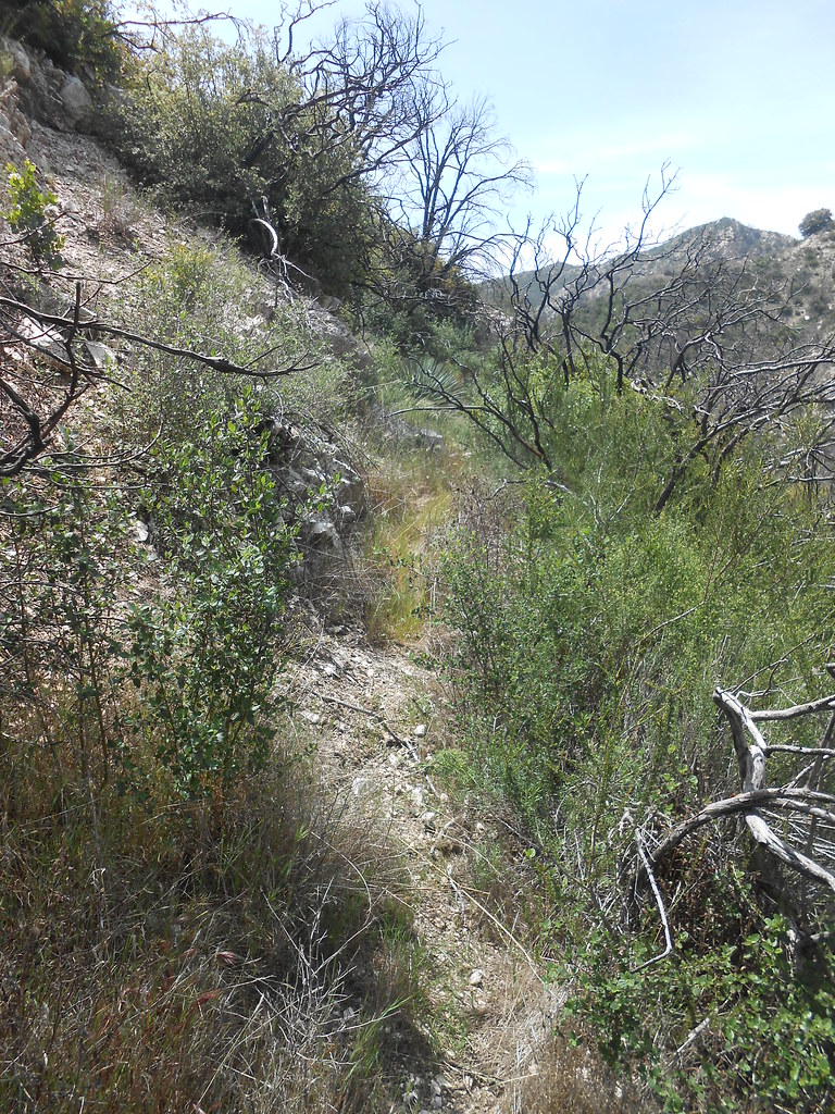
It contours along the slopes above the creek. At corners like this, the trail bed is pretty clear:
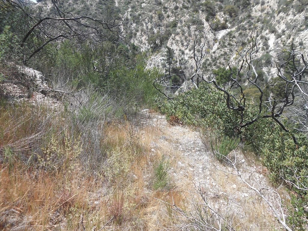
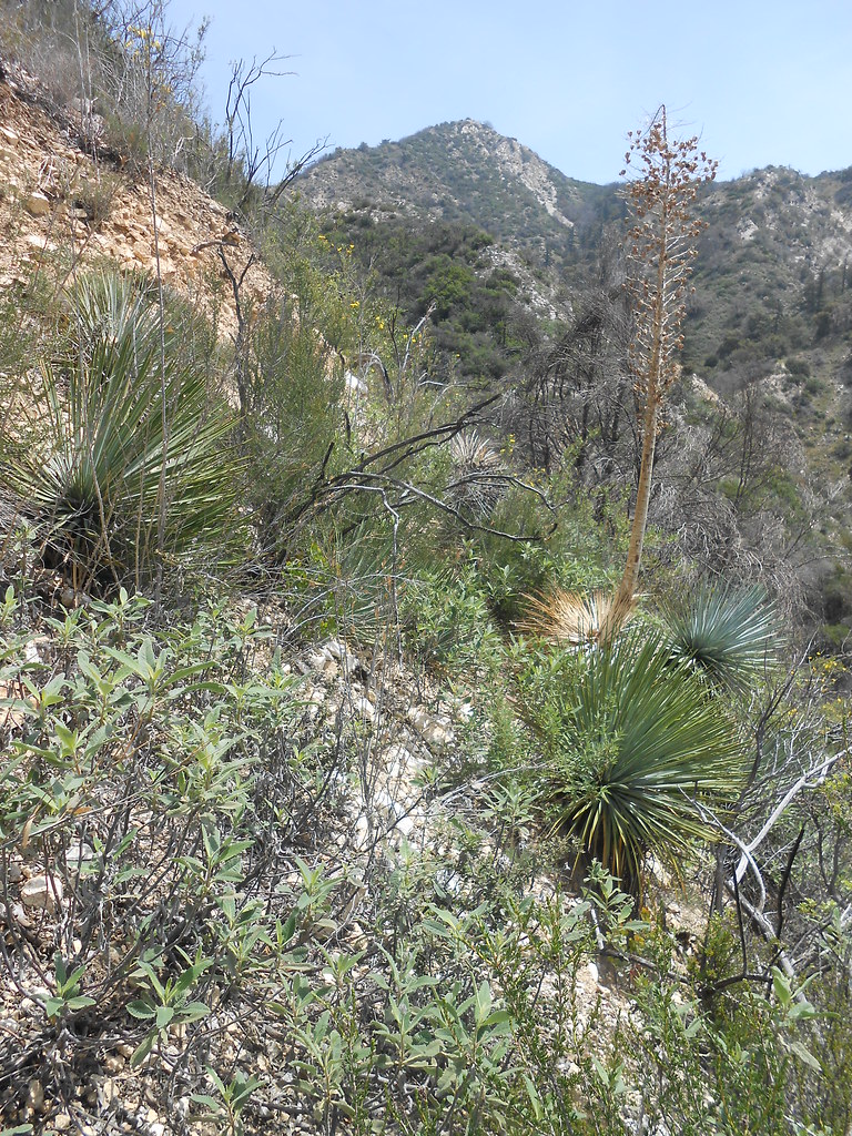
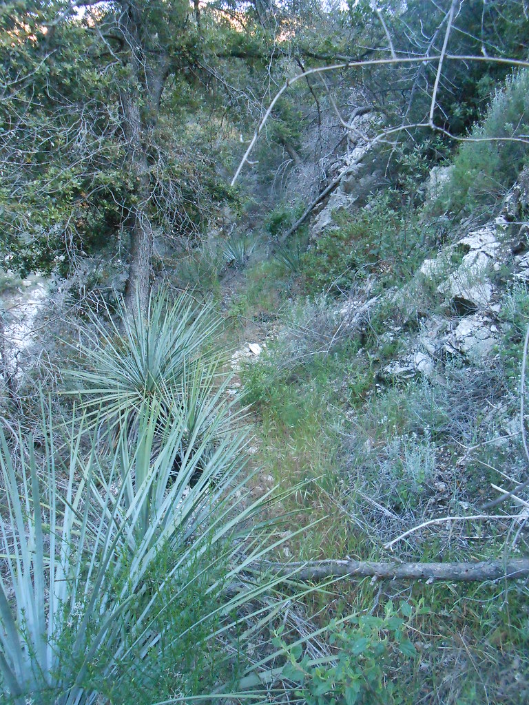
More typical trail conditions:
It's the trail cuts made into rock that are still quite visible:
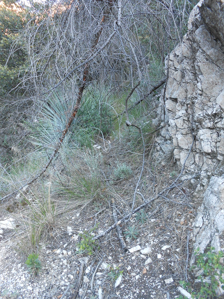
Lots of washouts and sections like this to negotiate:
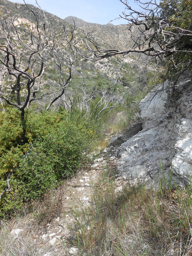
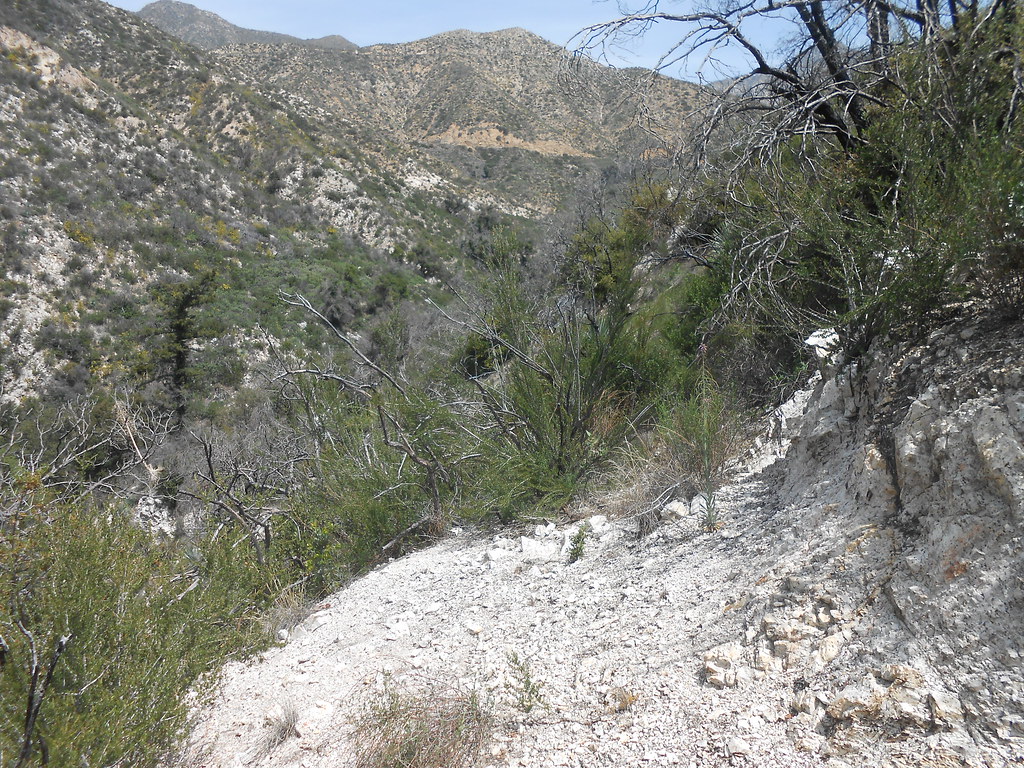
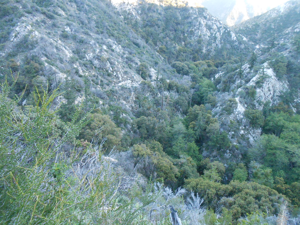
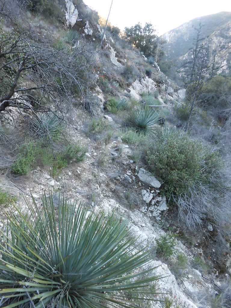
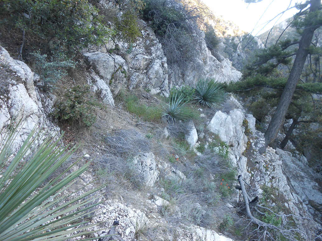
From the bottom of the white rock it traverses across this slope:
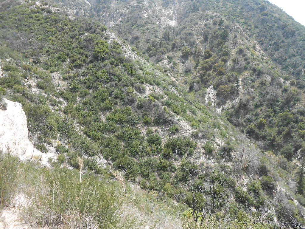
It goes into the side canyon, comes back out near the pines and wraps around the slope eventually towards another pair of pines:
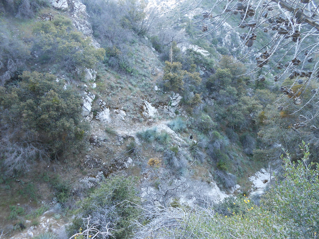
On another visit, I got a look at some of the lower section. A closer view of the lower section as it traverses through the pines above the gorge:
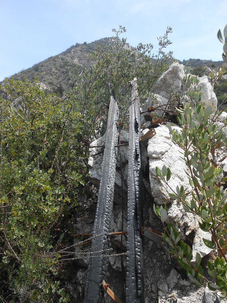
Here's the trail below in the side canyon. Some old electrical lines can be seen draped across the canyon in front of the trees to the right as well. Any guesses on what they were?
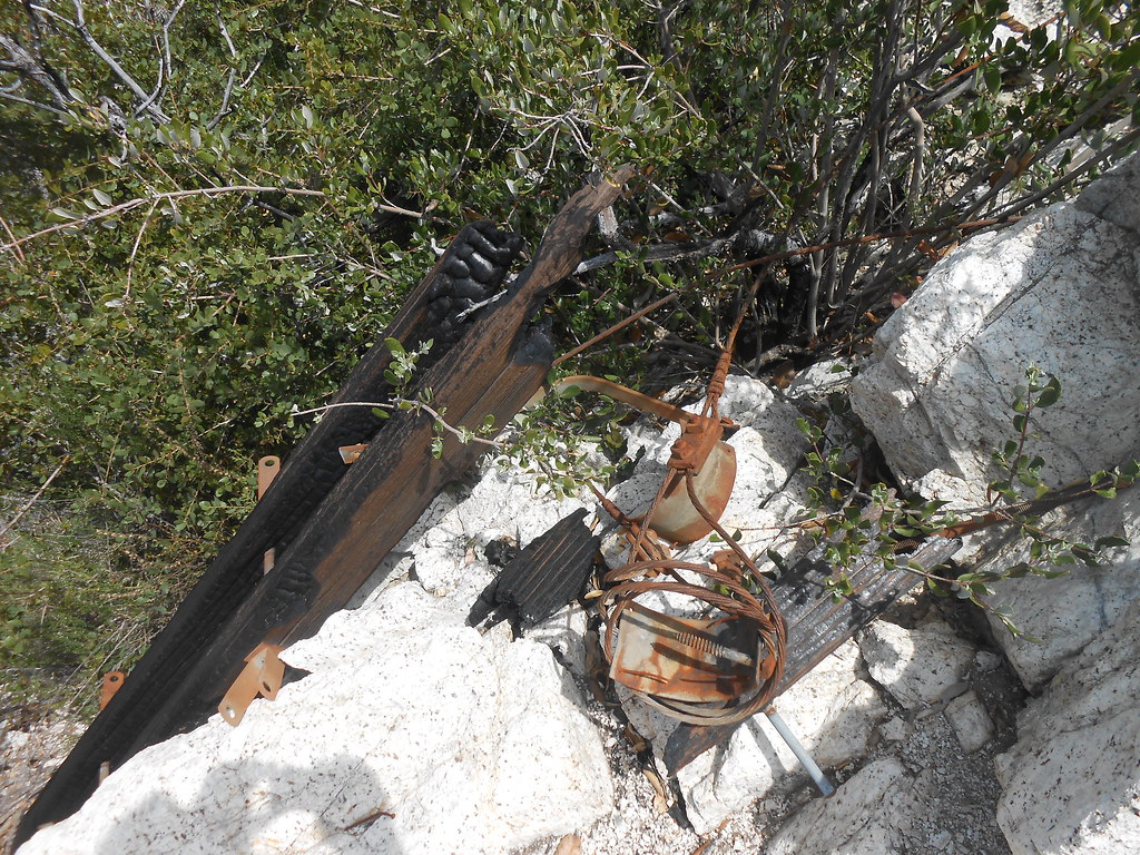
Don't know what era those power lines are from, but there are pieces of the poles and such that have survived the fire in another location. Here's one that doesn't look too ancient:
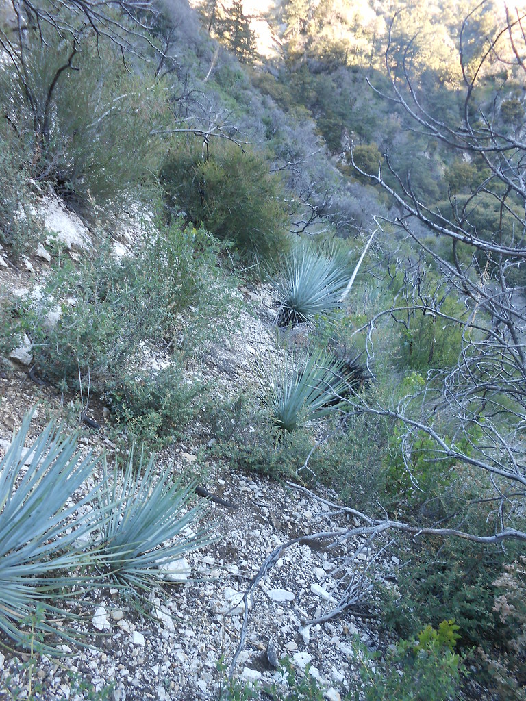
Meanwhile, in the side canyon:
They started carving out more rock here:
A corner:
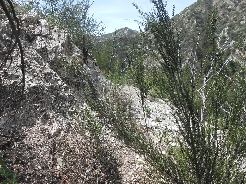
Across a slope:
Built to last:
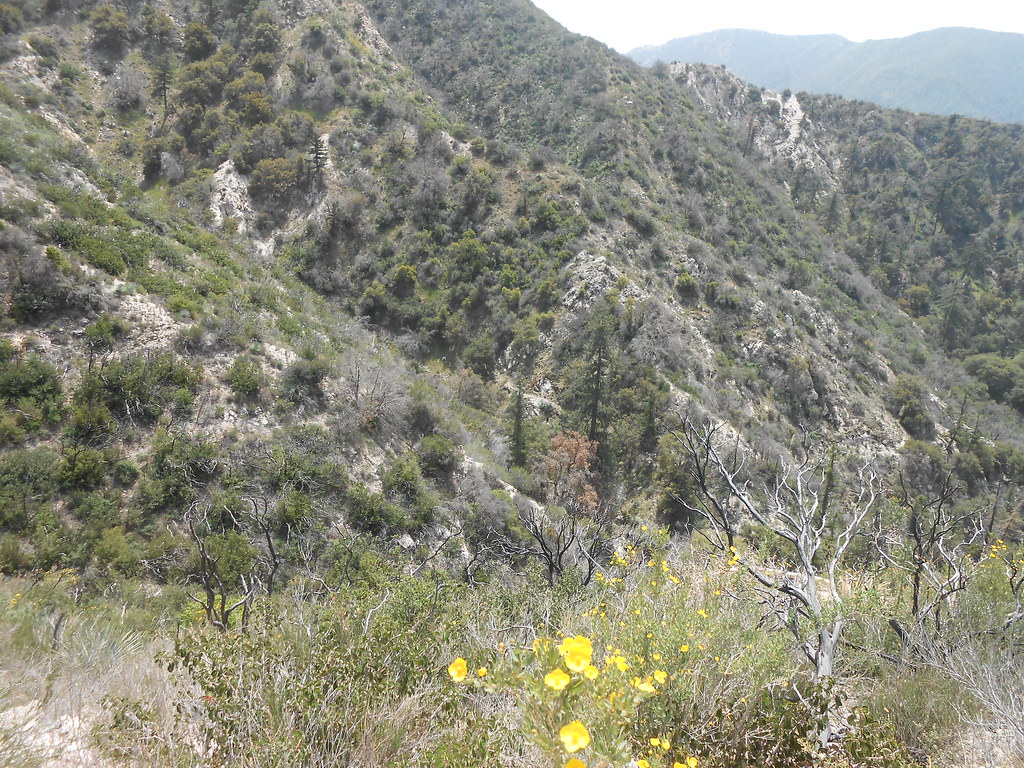
Ran out of time and had to turn back at a side drainage a little after this:
Be aware that the lower, rocky section of this old trail traverses above some big drops into the inner gorge so it's best not to try to take a shortcut straight down to the creek and the new trail if you don't know what's below you. Even the side canyons have significant falls and drops before reaching the stream bed. Be safe!
