Start of the Skyline Trail

Palm Springs Art Museum from the start of the trail

Rescue Box #1

Distant light from Mountain Station

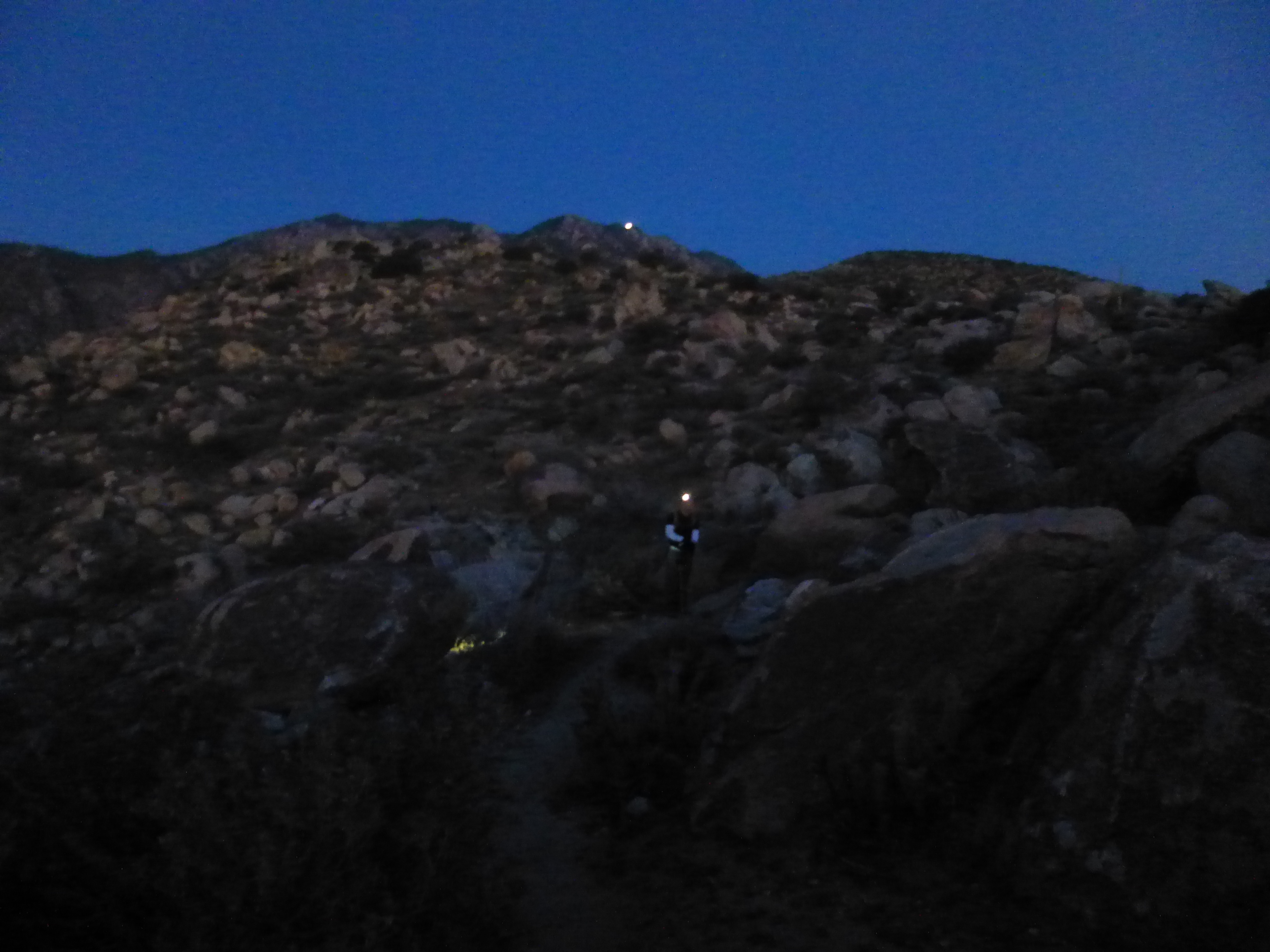
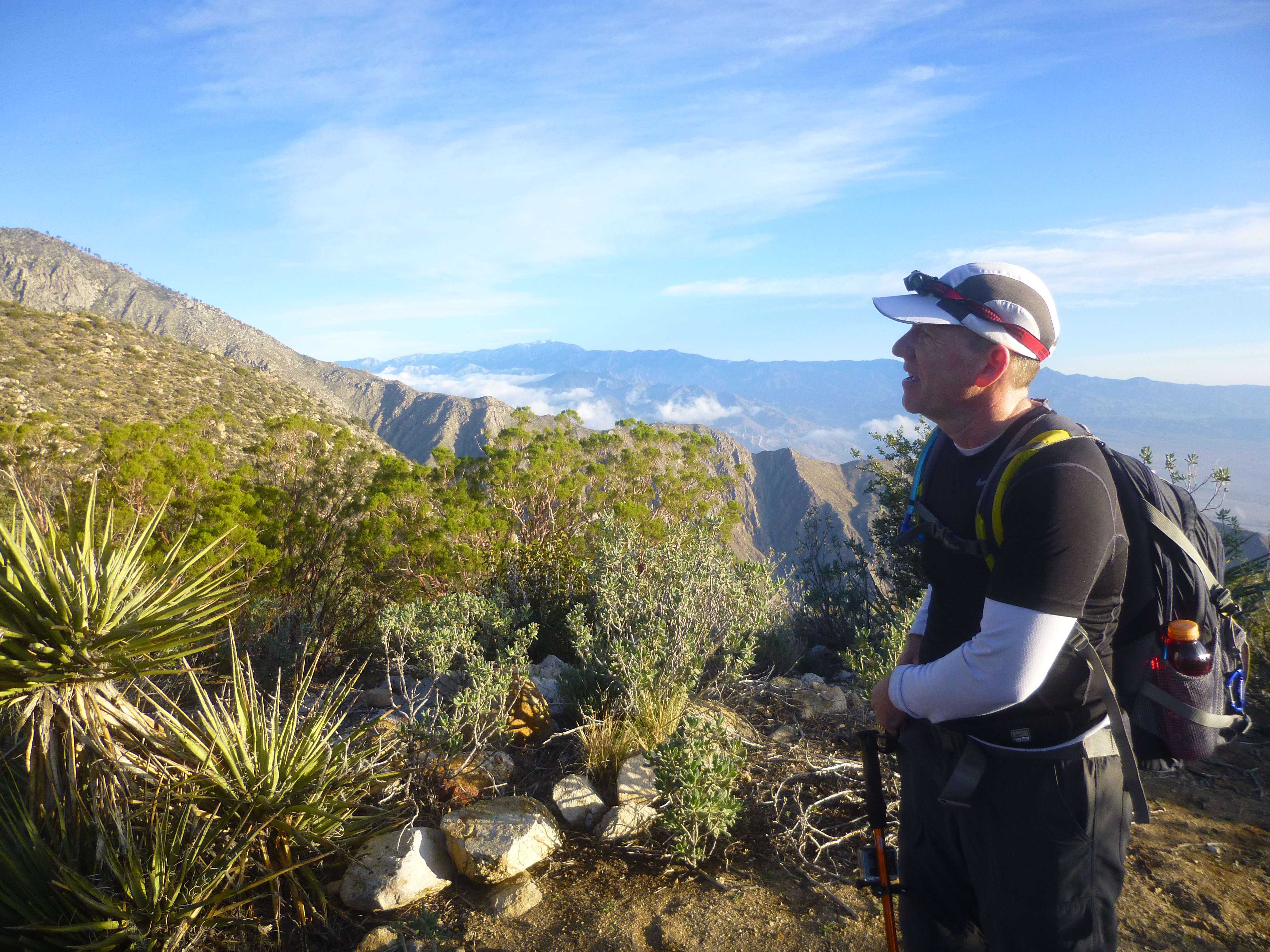
Sean at dawn

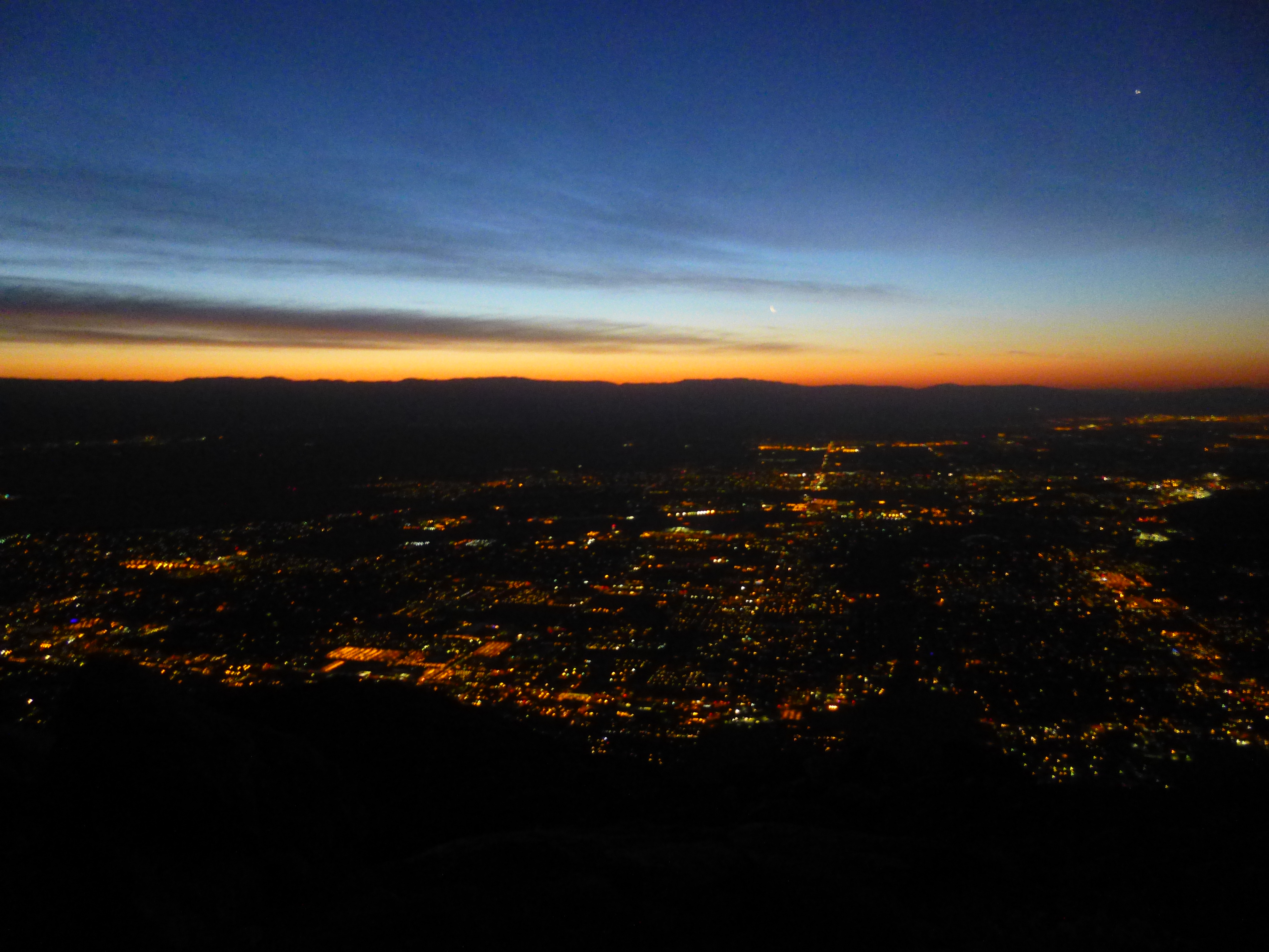
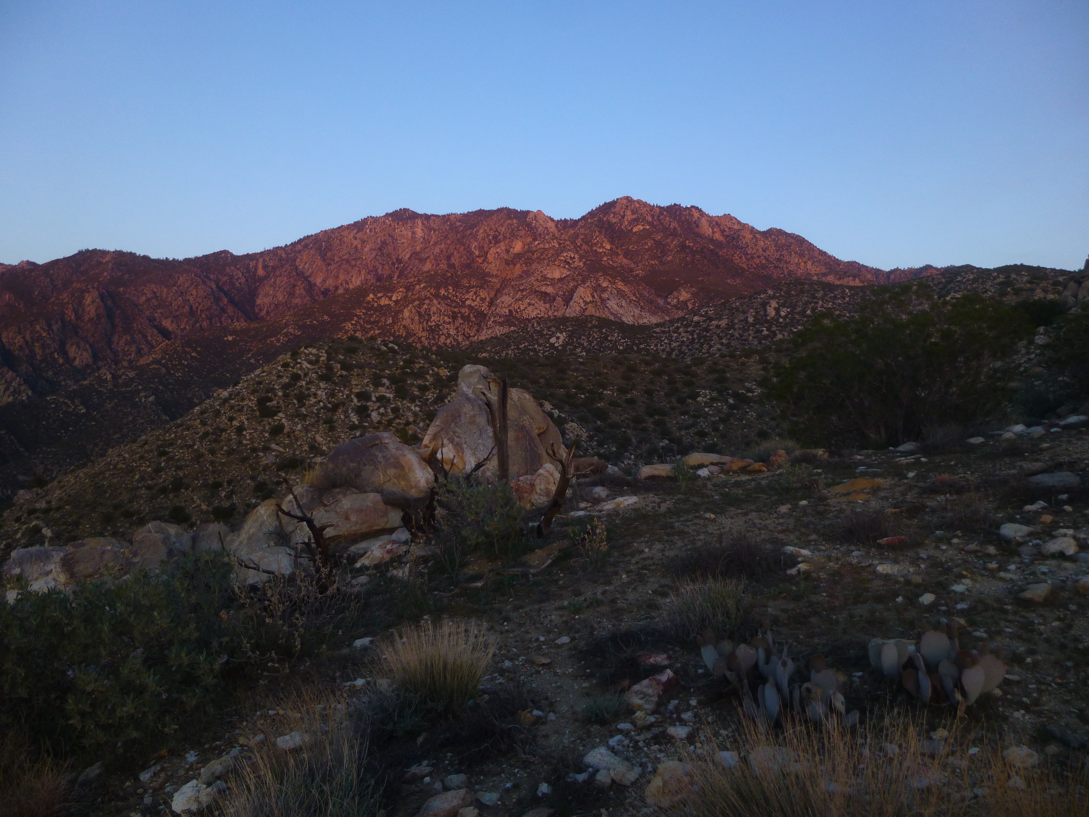
Sunrise
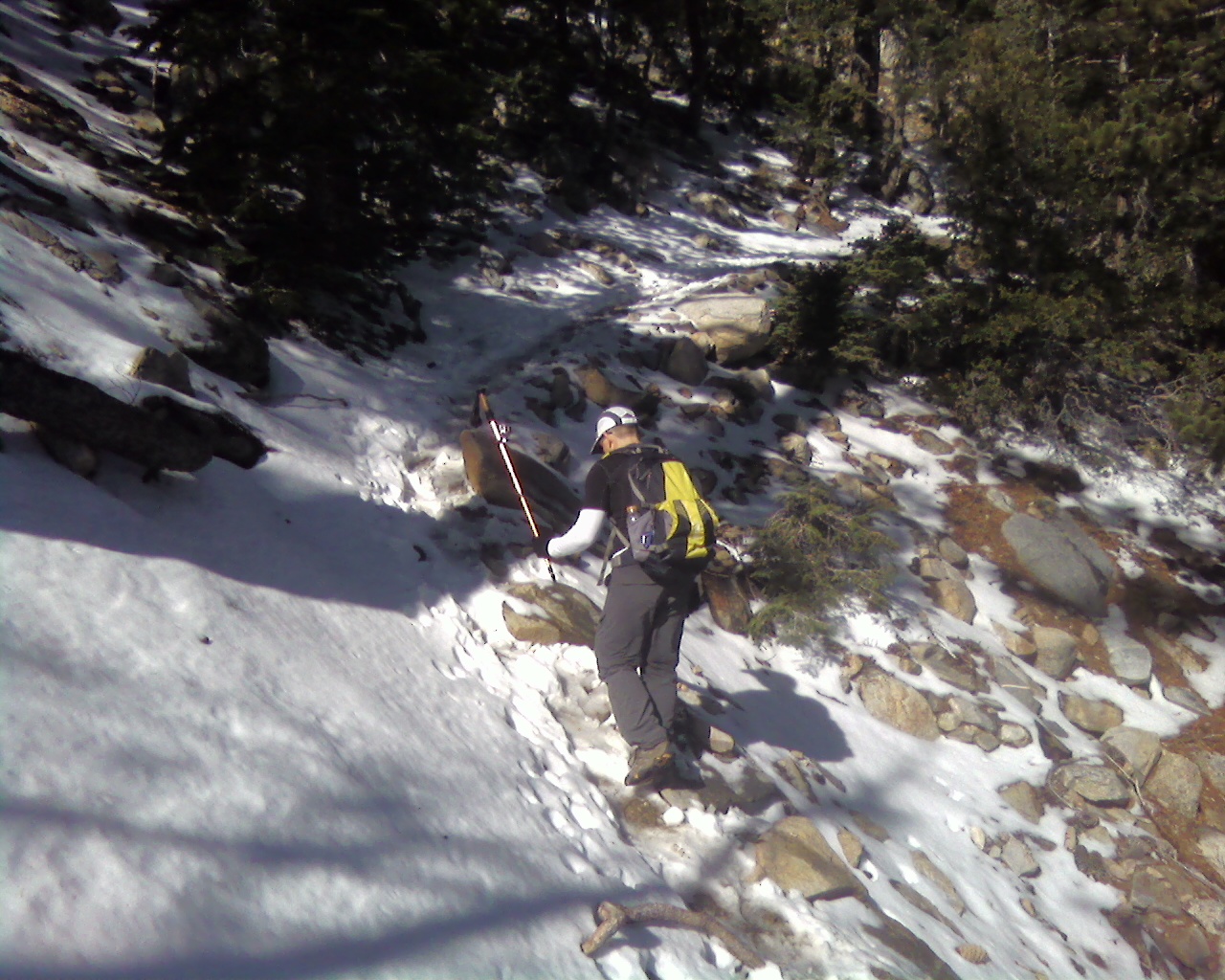
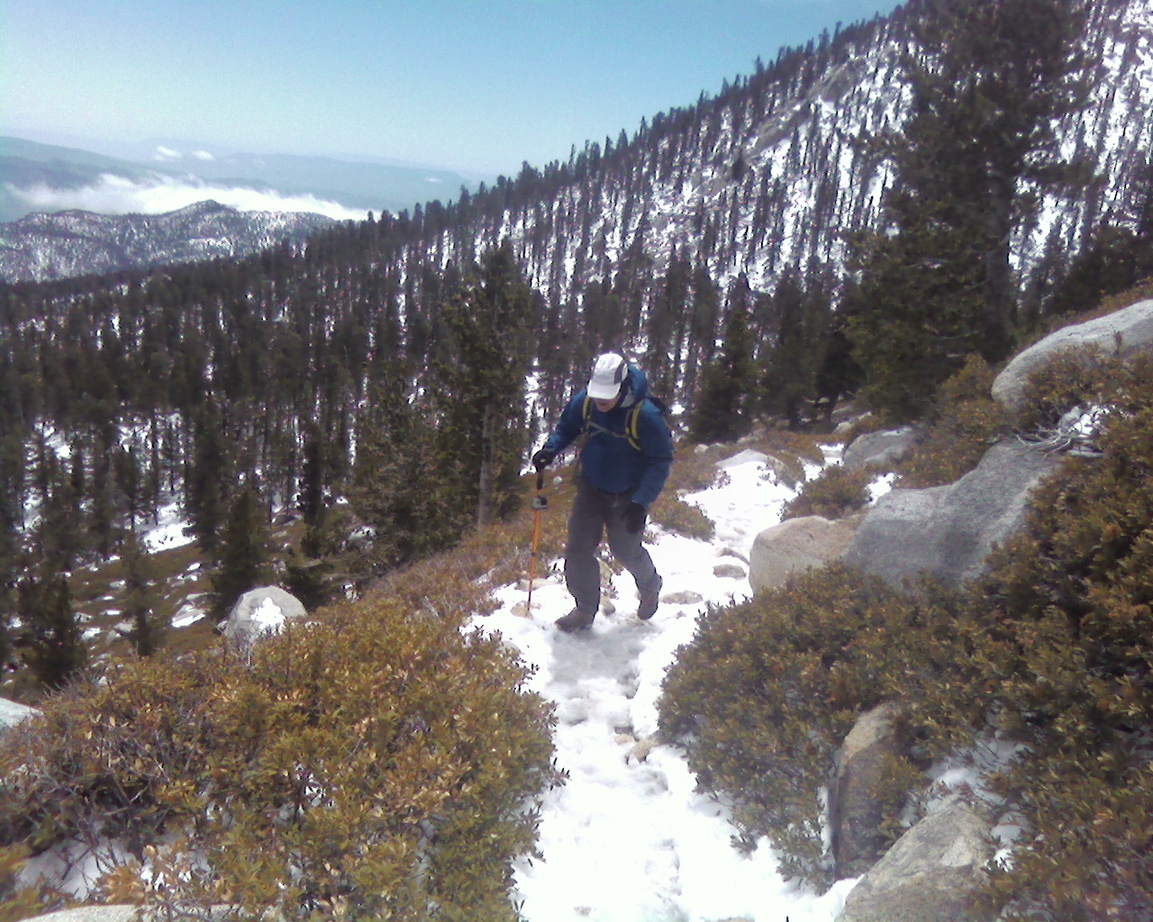
We took a break at a clearing around 5300' near the remains of a campfire. We refueled and followed the winding single track trail up. We could barely make out Coffman's Crag, and I could tell the worst of Skyline was reserved for the top. After hitting the manzanita section, the trail went mercilessly up with many fewer switchbacks. After 7000', we started hitting patches of snow, and shortly after Coffman's Crag, light slushy snow covered the trail. It wasn't really a hazard, just messy. We had a good pace going until the last 2000' of Skyline, where I slowed down significantly. We didn't see a single other soul on the Skyline Trail. It took 7 hours to reach the Long Valley ranger station where we got a permit to continue.

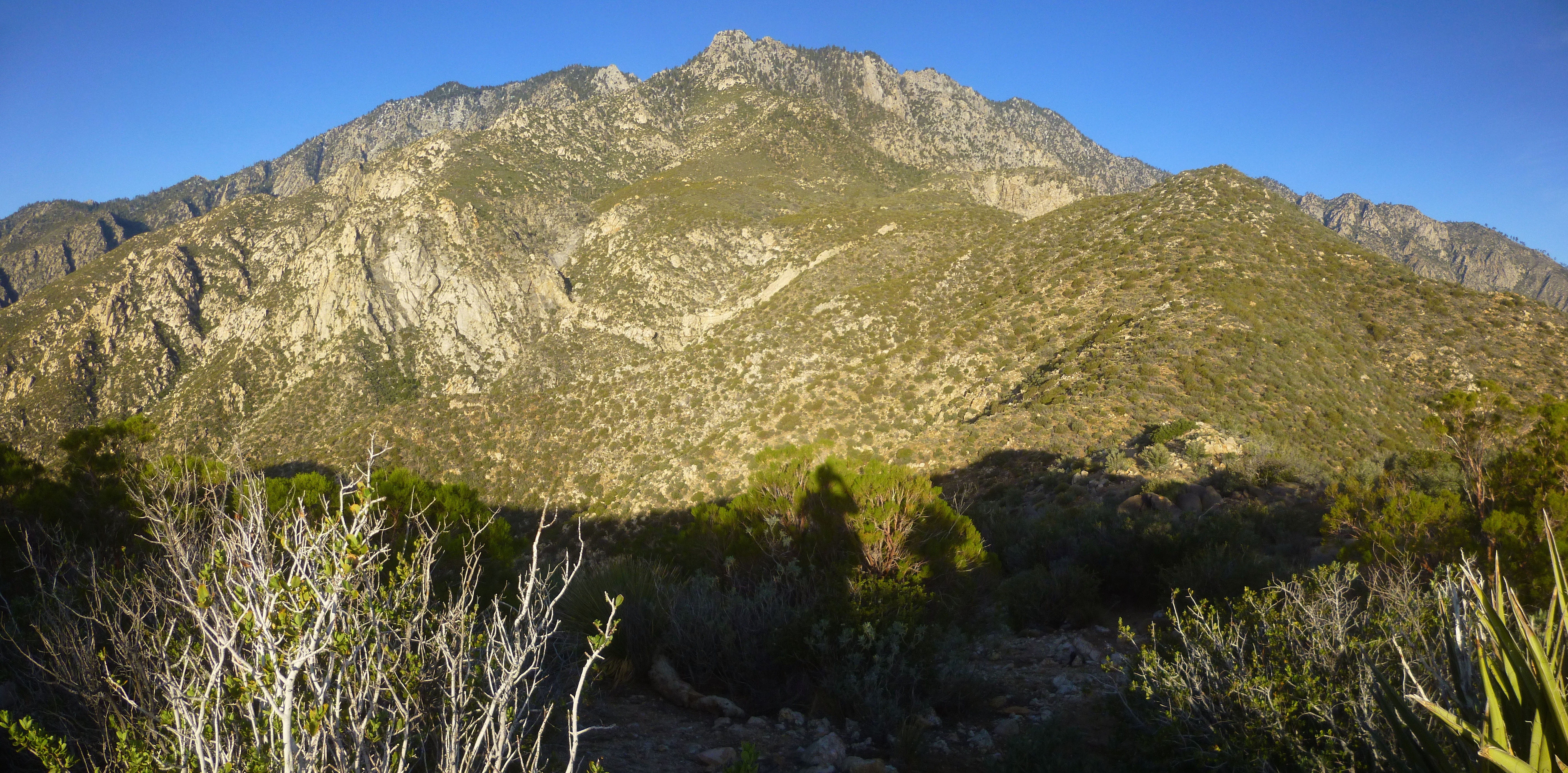
Still a long way to Mountain Station

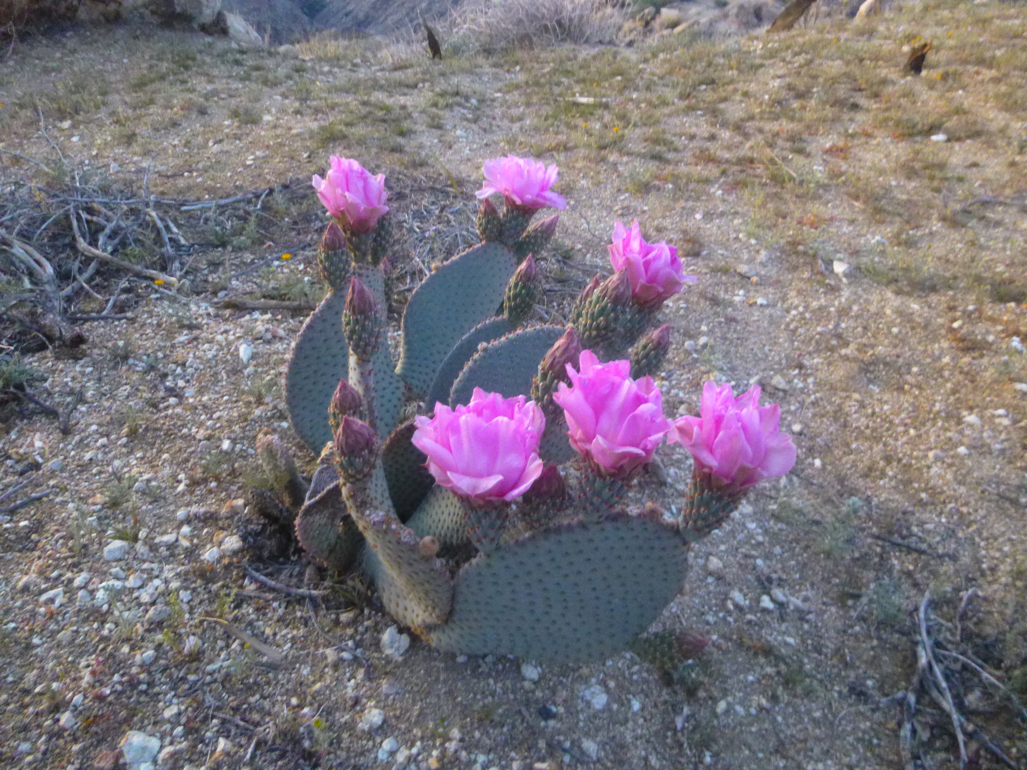
Bloom

Striations, Gorgonio in the distance

Palm Springs from the manzanita section, upper Skyline Trail

Sean at Coffman's Crag
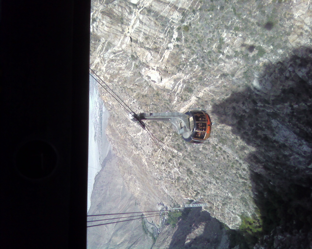
The ranger at Long Valley told us conditions were icy near San Jacinto and we shouldn't go without microspikes. Of course, we made the attempt, and the snow was slushy, not icy past Jean Peak. This is where I paid the price for not having waterproof boots. The slush on the trail could not be avoided and eventually, my boots and socks were soaked and freezing. I soldiered on to the summit where a half dozen people were shivering from the cold temps and strong wind. Sean and I stayed long enough to take some photos and video, but didn't linger on the windy summit. We got back to the Aerial Tramway and bought our tickets down. The Service Desk was nice enough to call a cab for us and it was waiting when we got to the bottom. We were a little roughed up, but no worse for the wear. GPS said 20.3 miles, 10614' gain, 12 hours 45 minutes.

Snow in Long Valley

Wellmans Junction

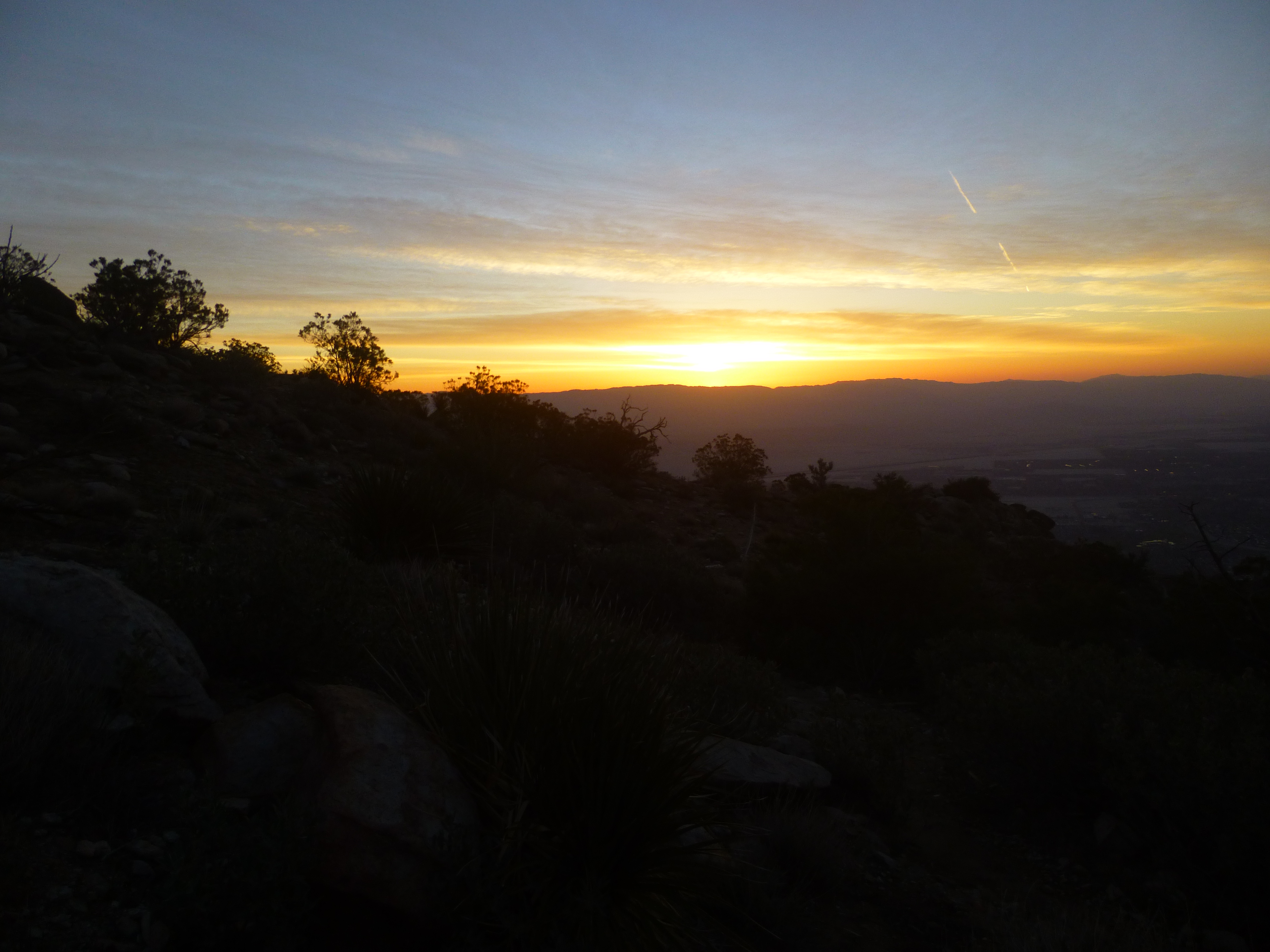
The clouds part

Toughest climb of the day, back to the tram