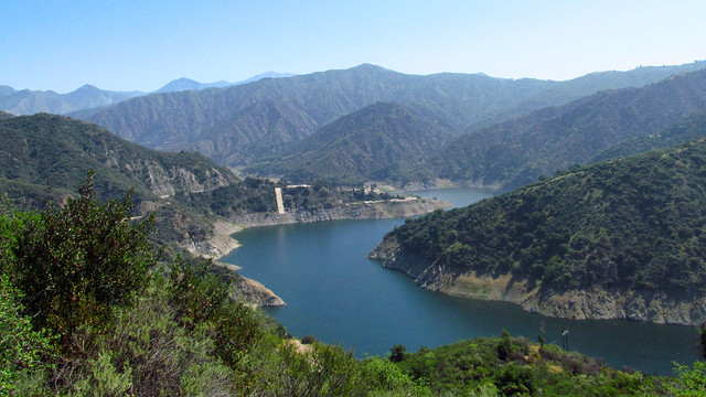
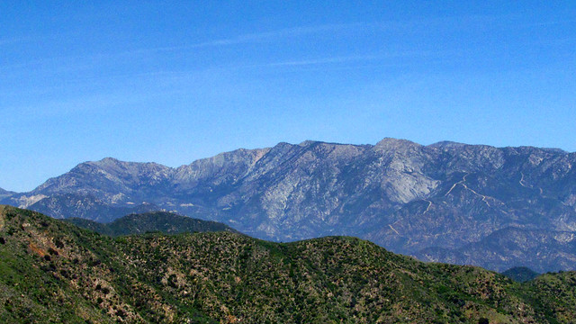
Seems like nobody climbs this peak. Perfect for when you only have a handful of hours to spare, look for a turnout on the west side of Hwy 39 just after you pass the turn off road for the Morris dam.
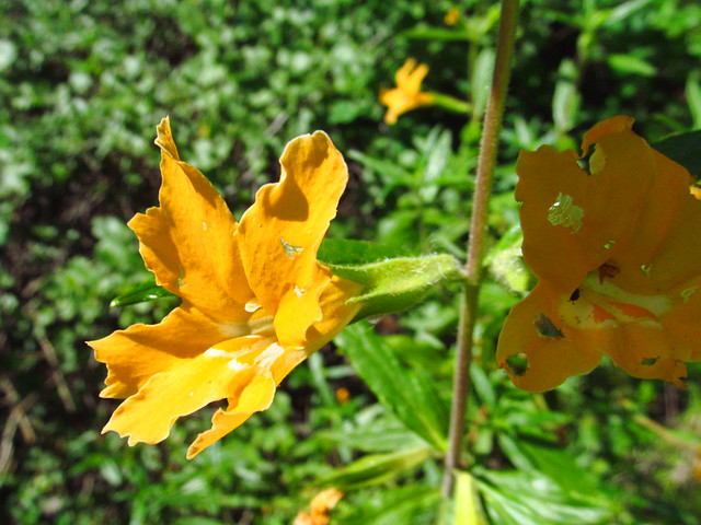
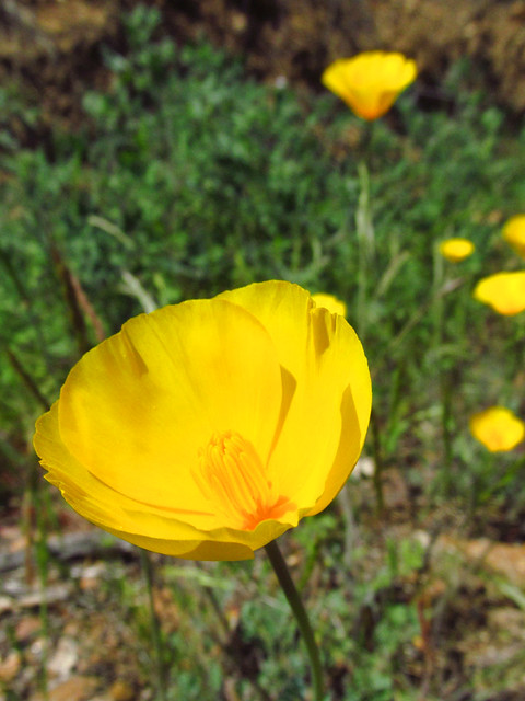
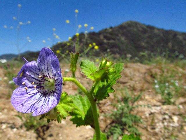
Park, who knows if an adventure pass is required...? When you cross the gate, you can take the easy route to the right, or the fun scrambly one to the left. We went left, and descended the easy way. Not much to say, nice little class 2 fun, wildflowers blooming nicely, nobody else on the trail. Watch out for ticks.
Forgot to mention this could easily be stretched out to a full day hike if you include Pine Mountain to the north... looks like a pretty straightforward firebreak hike from there. No shade whatsoever though, so do it on a cool day.
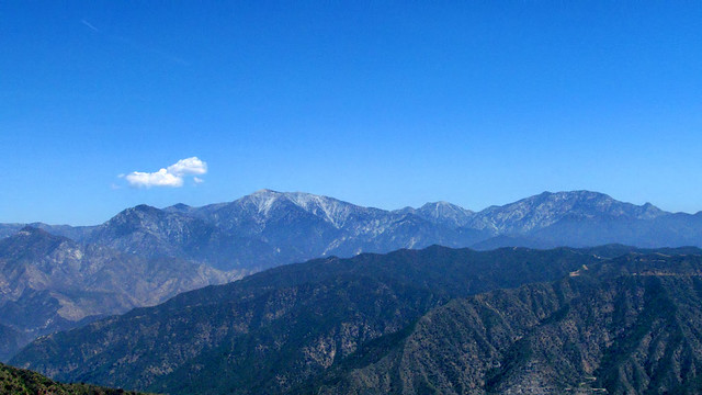
I've actually been up there three times, never seem to get the time to take the remainder of the fire break to Pine. The upper ridge that you descended is actually the primary way to climb from the road, you could've accessed that ridge from the bottom and climbed it past the first crossing of the road to the upper road section. Another nice diversion is to continue up that ridge past the road to the crest, from there make a left and hike towards Azusa to the high point and get a view of the SGV.
David R wrote: I've actually been up there three times, never seem to get the time to take the remainder of the fire break to Pine. The upper ridge that you descended is actually the primary way to climb from the road, you could've accessed that ridge from the bottom and climbed it past the first crossing of the road to the upper road section. Another nice diversion is to continue up that ridge past the road to the crest, from there make a left and hike towards Azusa to the high point and get a view of the SGV.
Yeah, I was really tempted to make the short side trek to point 2843. Not really sure why that peak isn't named when you have stuff like Rankin, Echo, Jones....
I just did the Silver-Pine firebreak. Fairly straightforward as one would expect, with lots of up/down and lots of knee-high grass on the route. Pants highly recommended. The register at Pine Mt goes back to 2007 with at most 5 entries/year. Apparently Sean has been there twice, so his are a notable portion of all entries