

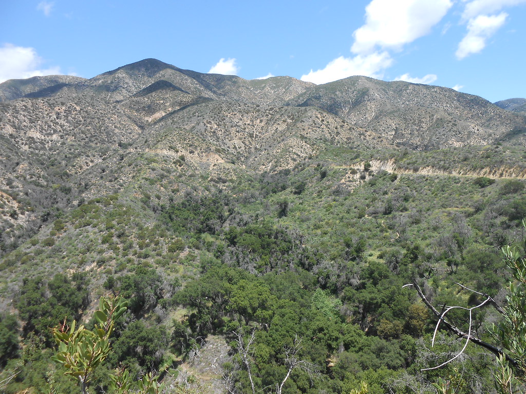
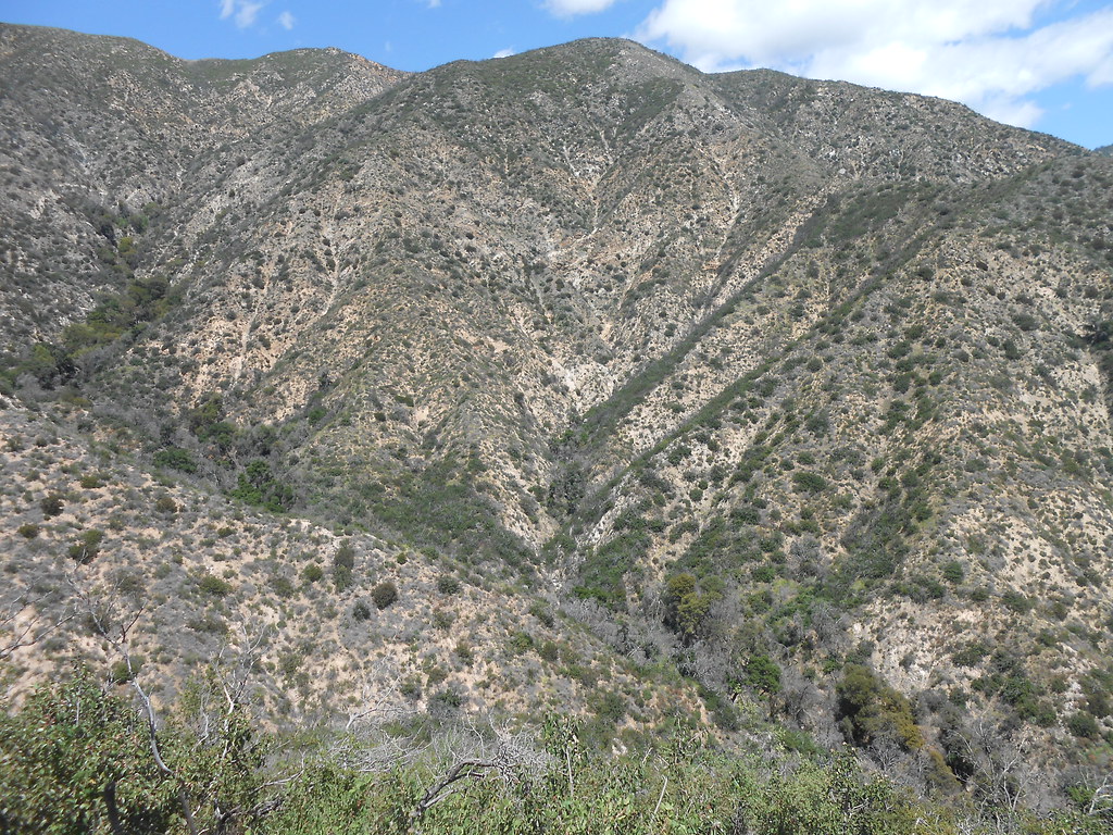
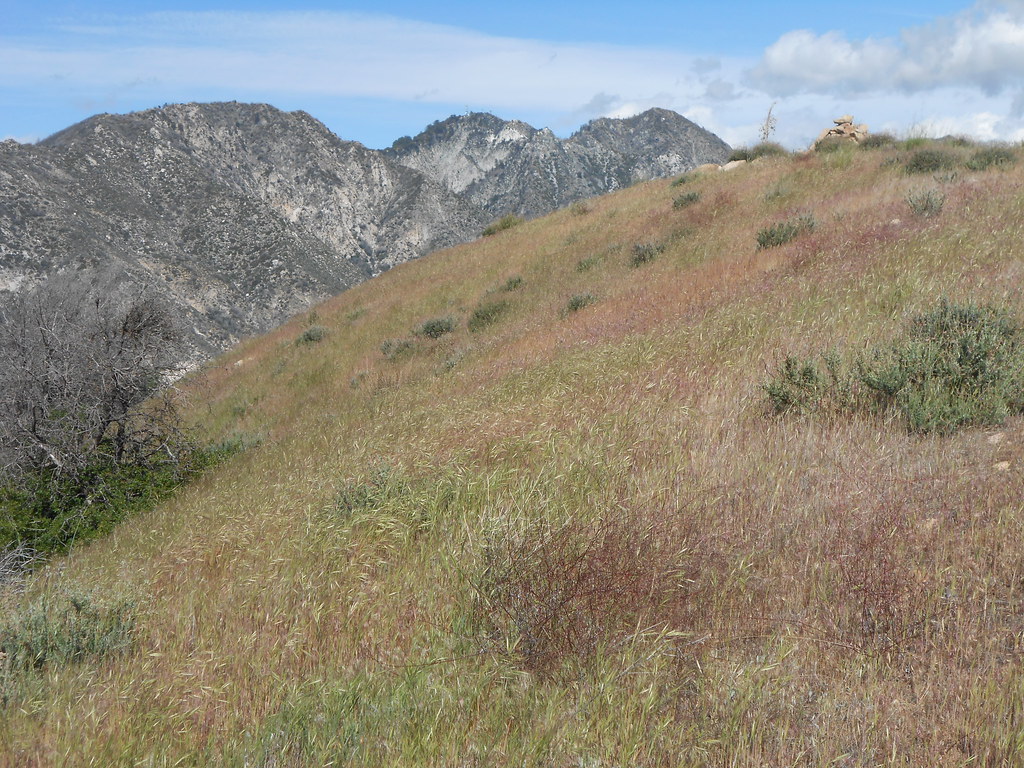
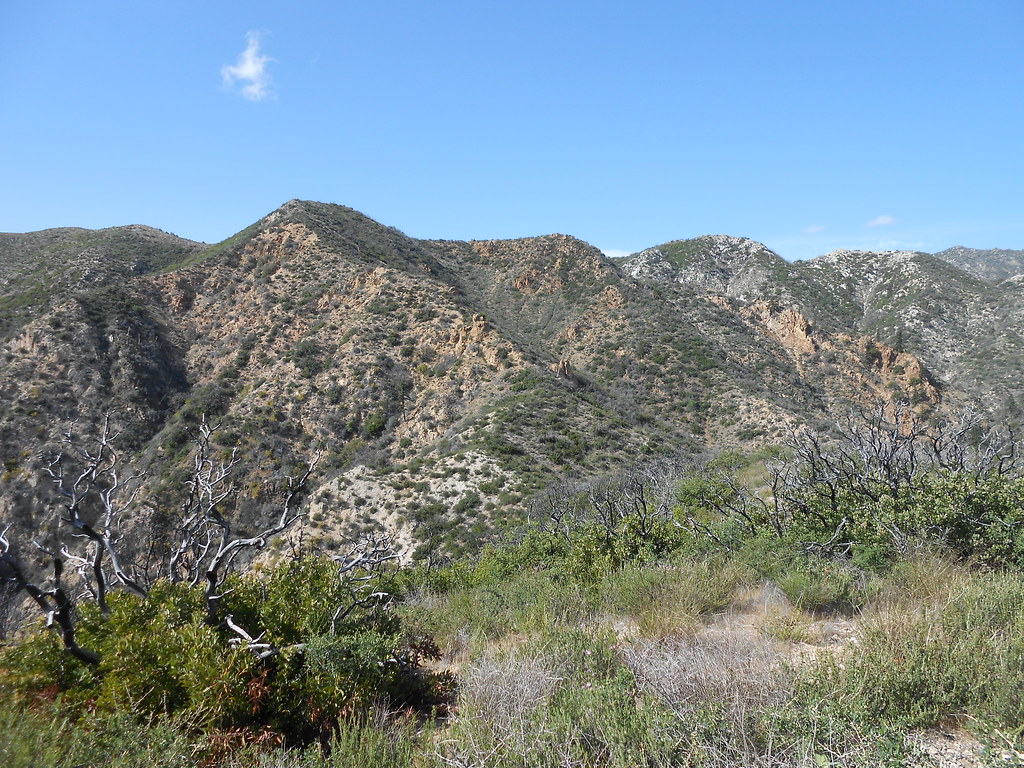
The south face of Brown Mt. has a couple of prominent ridge lines that frame the upper watershed of El Prieto canyon. I ascended the west ridge and descended the east ridge. The west ridge is in the foreground and the east ridge in the background.
I followed the fire road to where it crosses El Prieto creek and climbed the check dam, following a use trail to a bench with a nice grove of oak trees. As the creek turns north, a gentle rising slope on the left eventually leads to the shoulder of the ridge. Here's looking back at the start of the shoulder:
There are a number of well defined game trails, so travel through here is actually pretty smooth. Seems like a thriving deer population on these slopes and in the canyon. I read somewhere that the Brown brothers had planned to build a trail or road up Brown Mt. and actually did build the first part. I kept wondering if I was coming across old bits of those efforts.
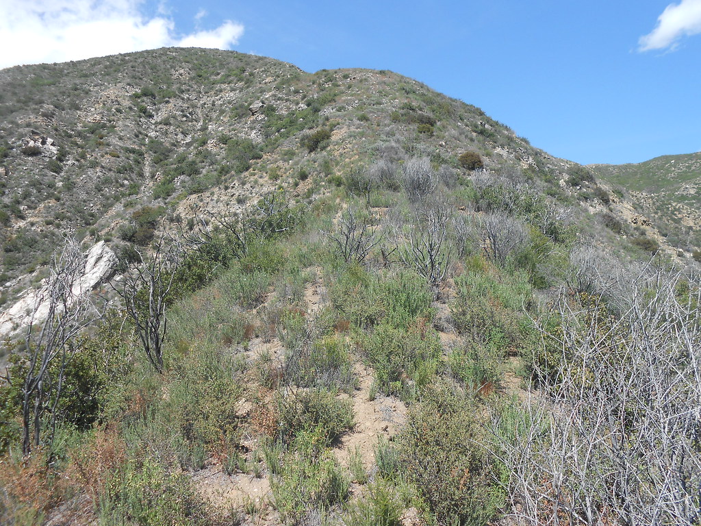
A look at the ridge ahead:
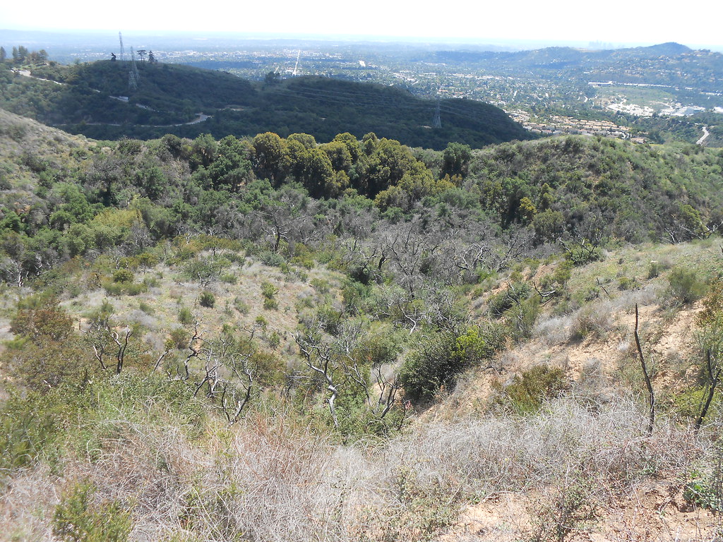
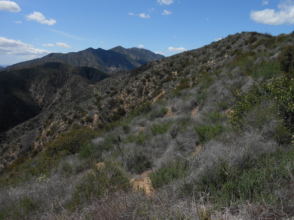
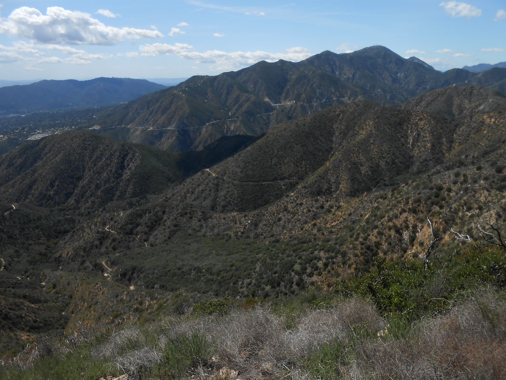
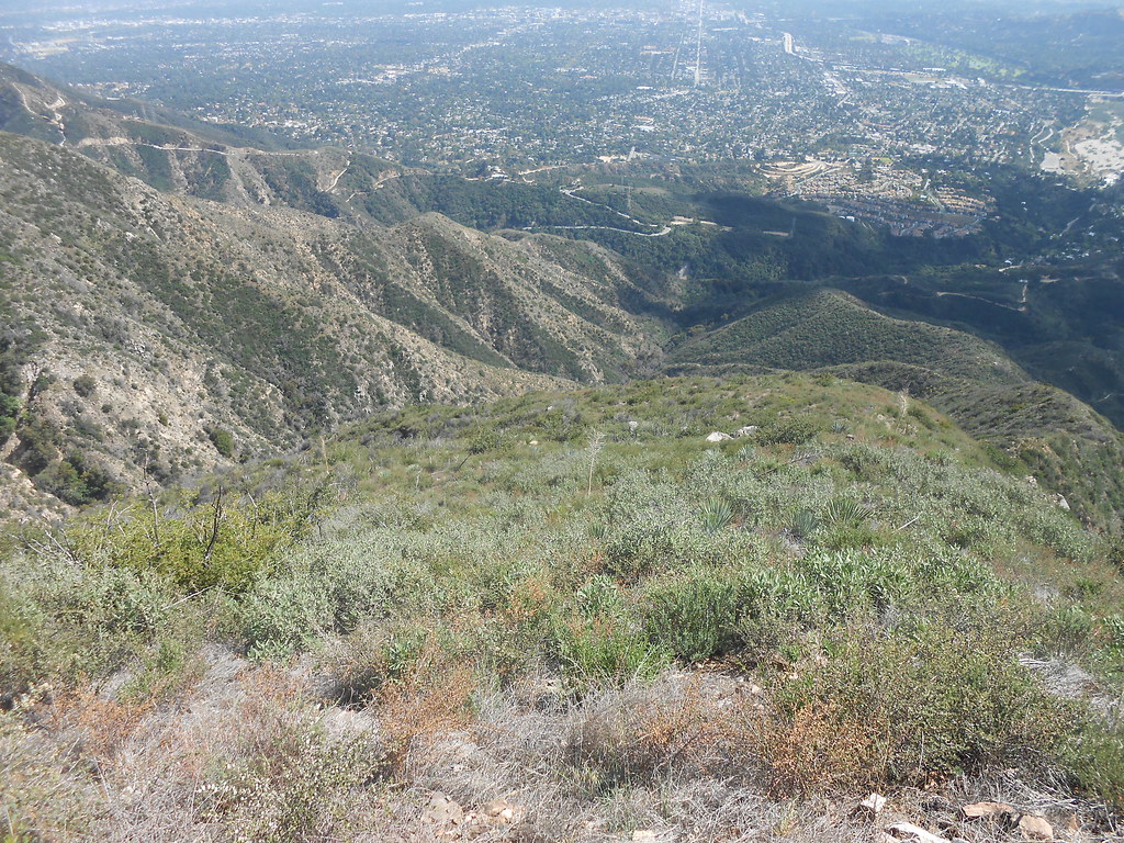
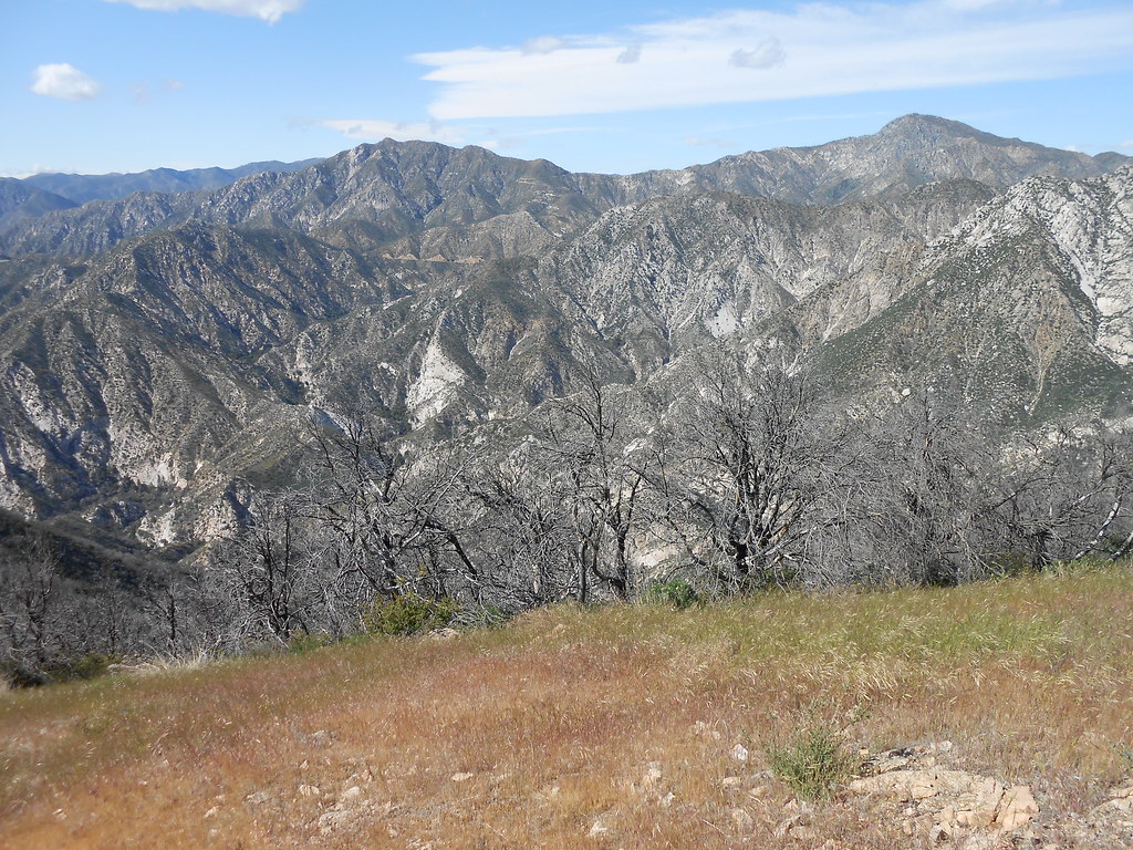
Upper El Prieto canyon:
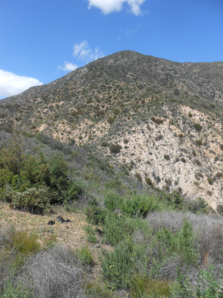
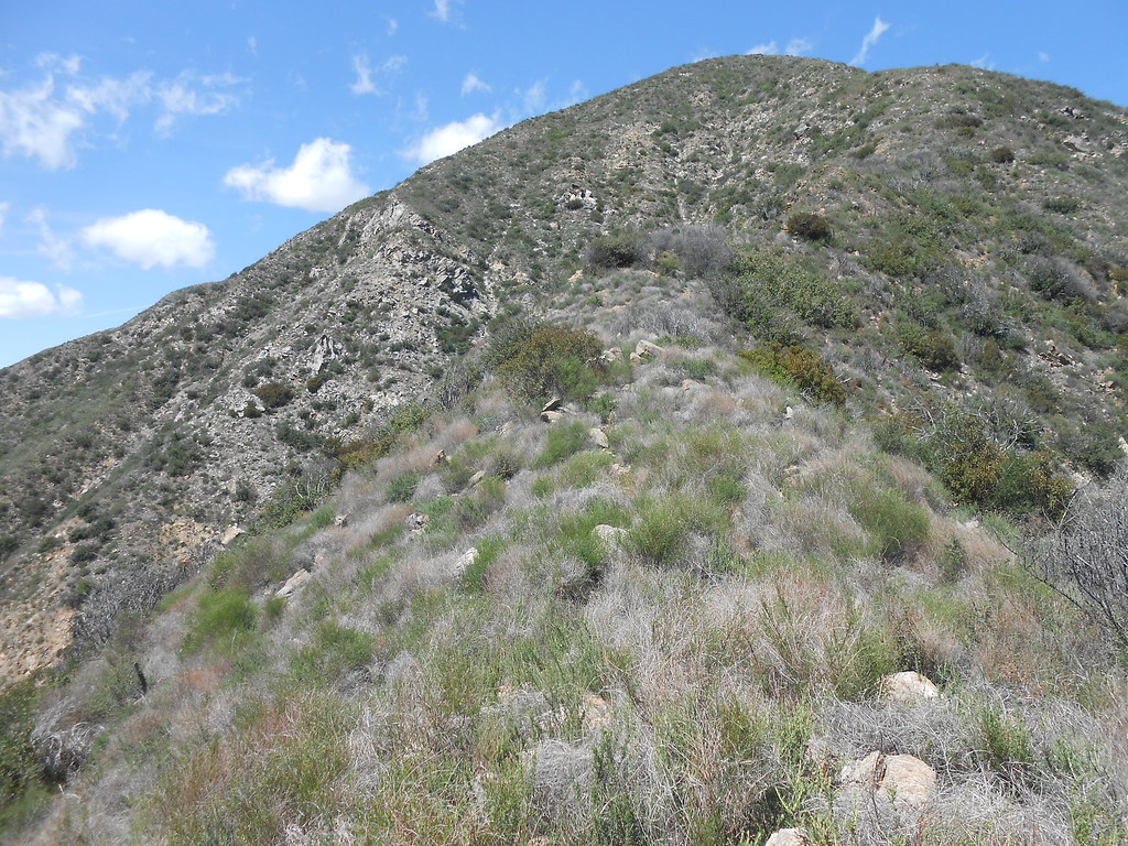
Nearing the top of the first hump:
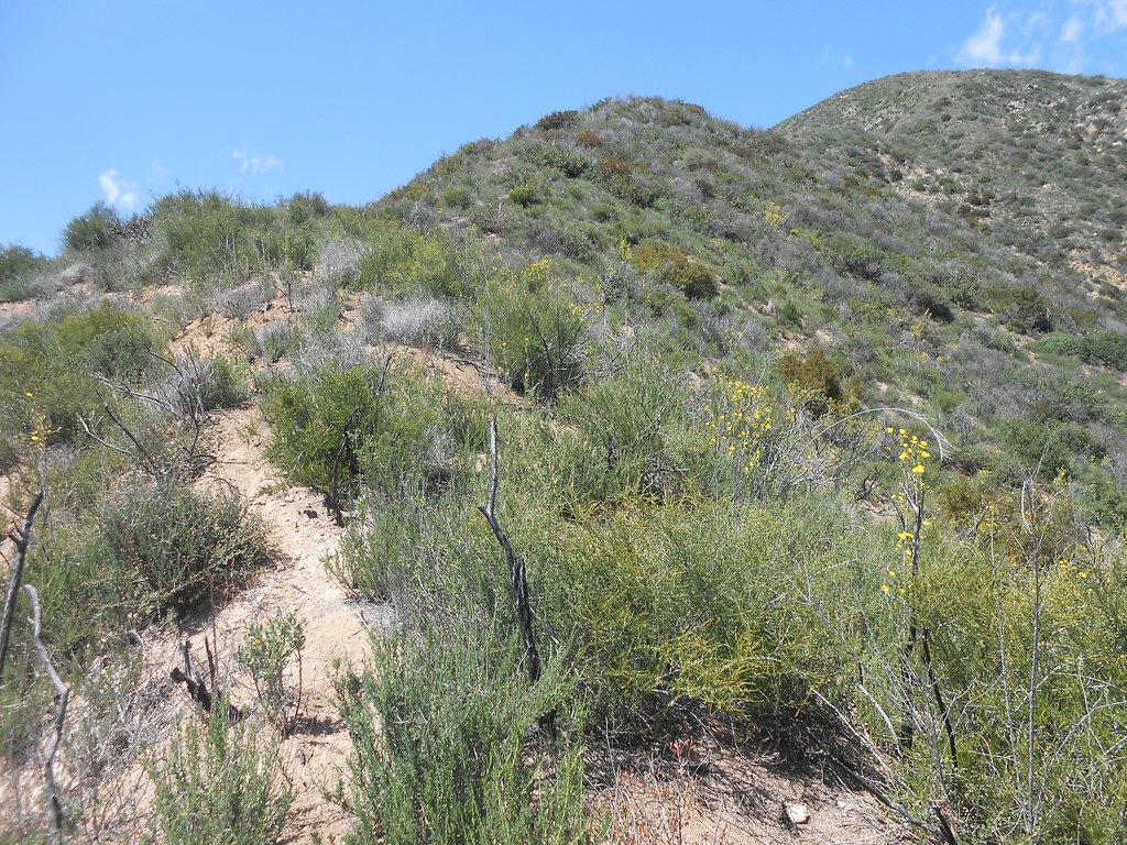
The ridge continues:
And continues:
And continues:
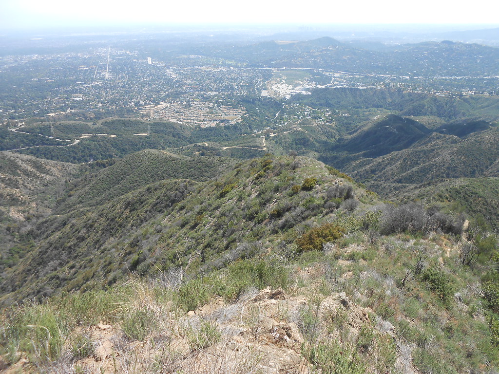
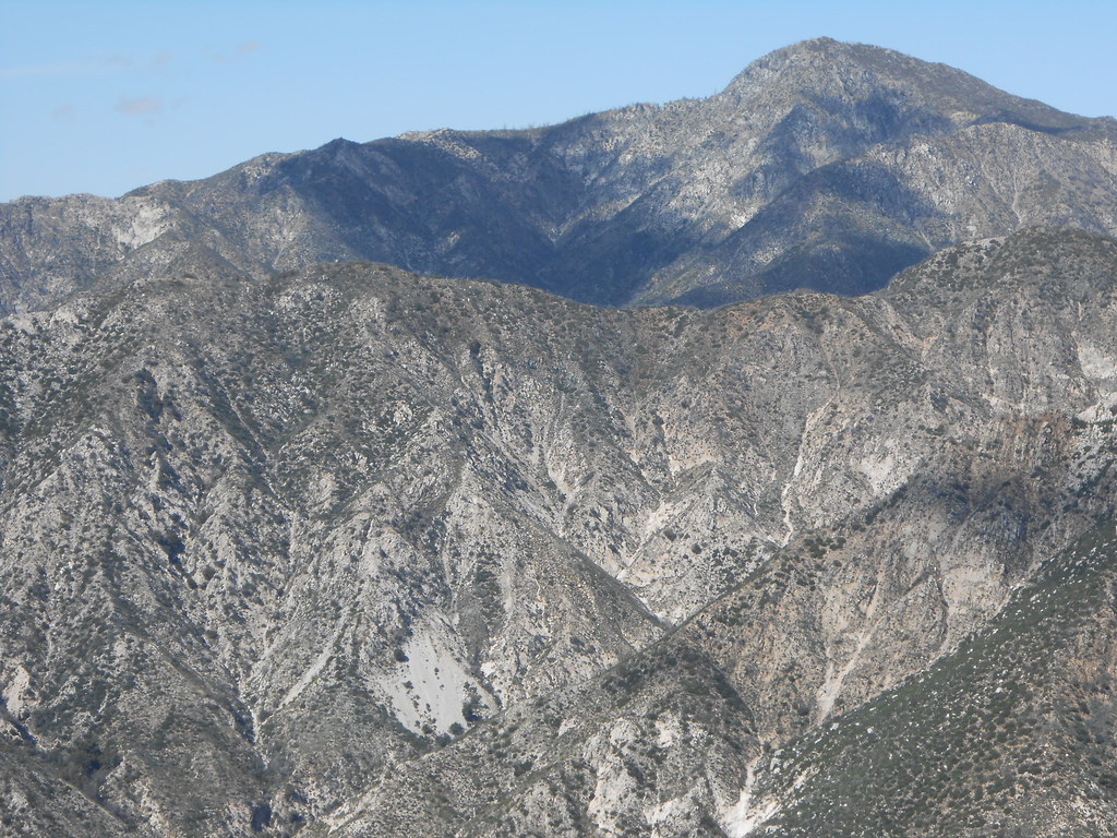
Nice views:
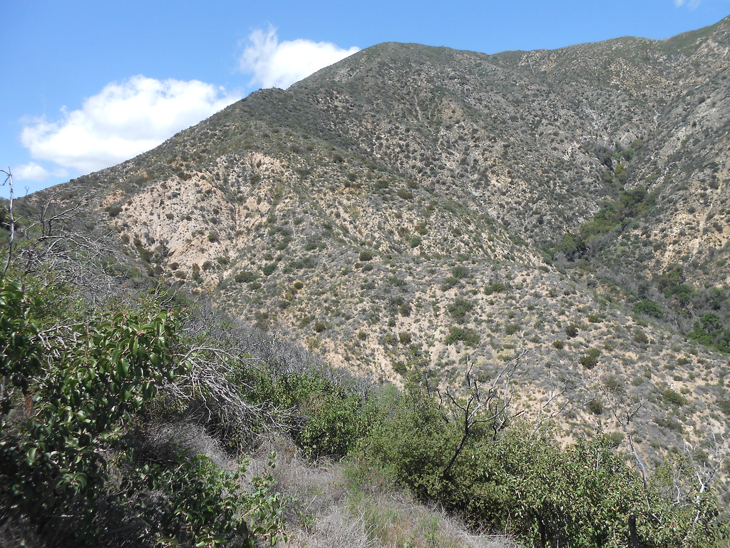
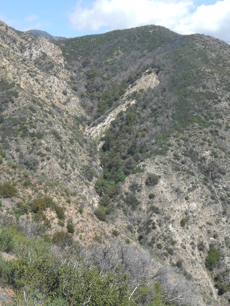
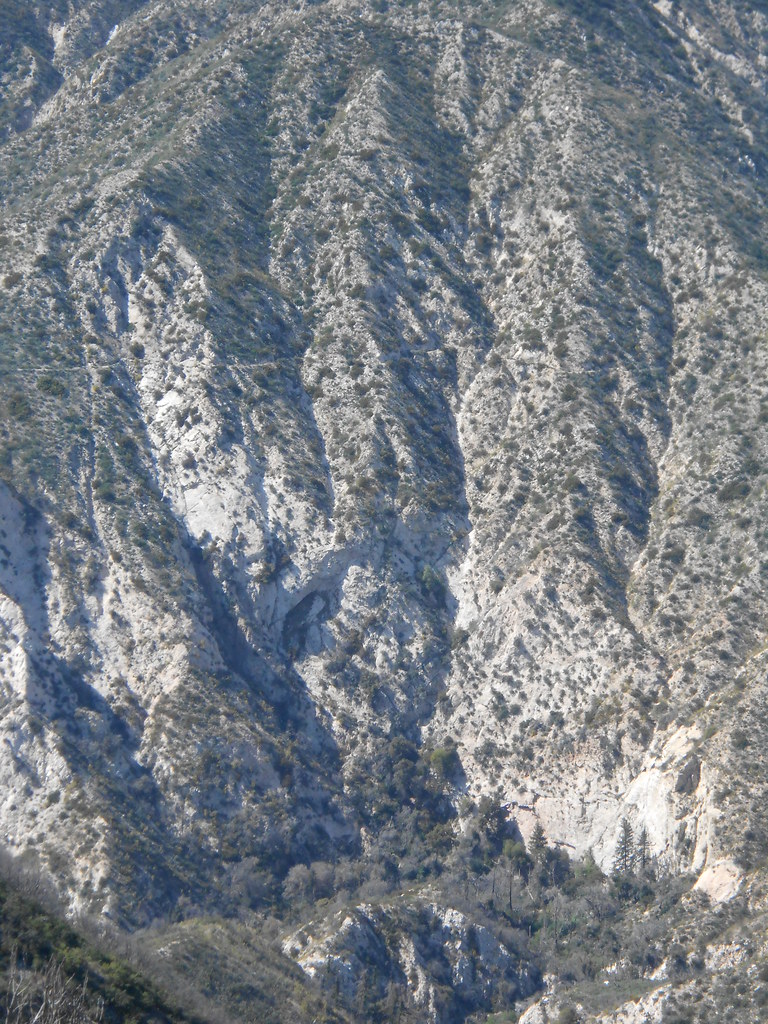
Some active geology high in the upper reaches of el prieto:
And the ridge goes on:
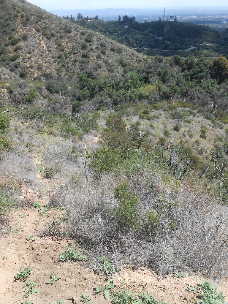
Looking back:
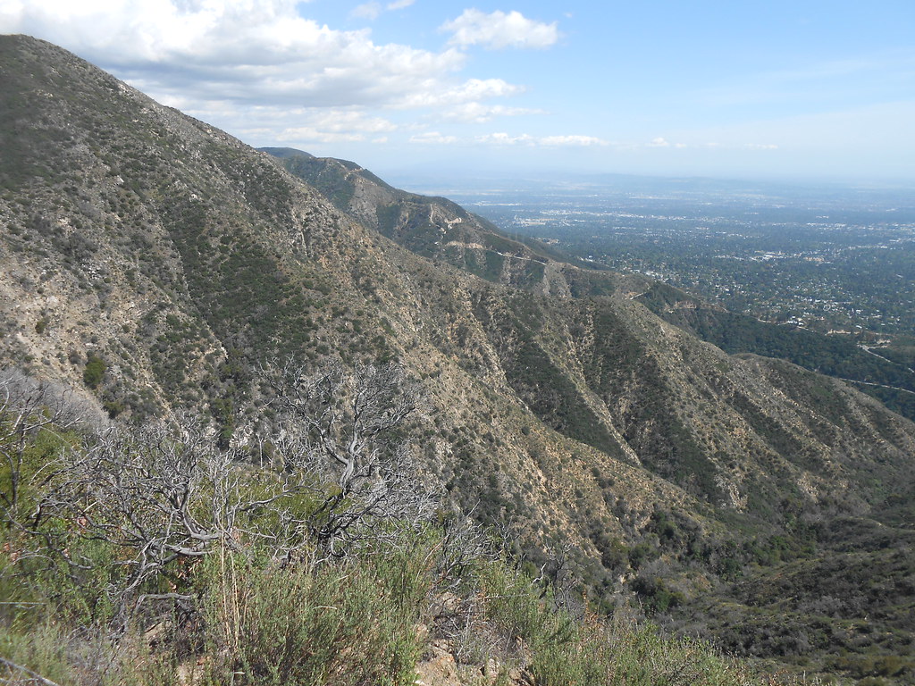
A view of the descent route:
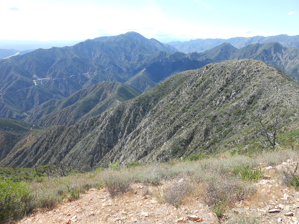
Both ridges visible here:
Finally joining the main summit ridge:
Approaching the summit:
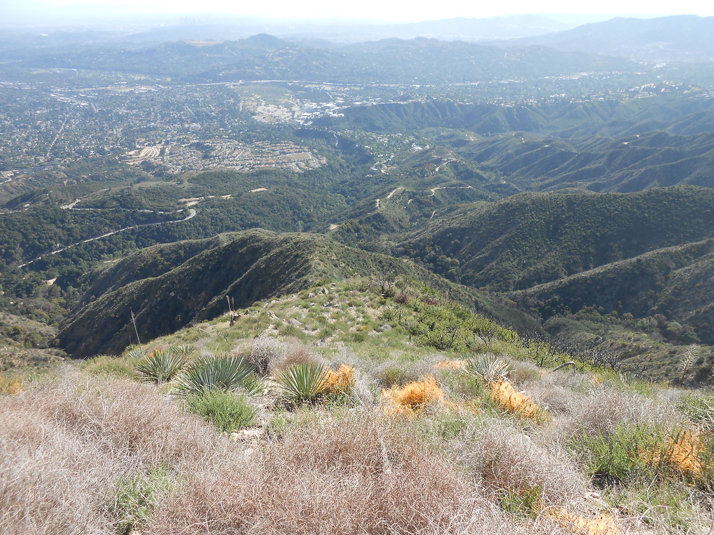
Nice views:
Gabrieleno trail above Royal Gorge:
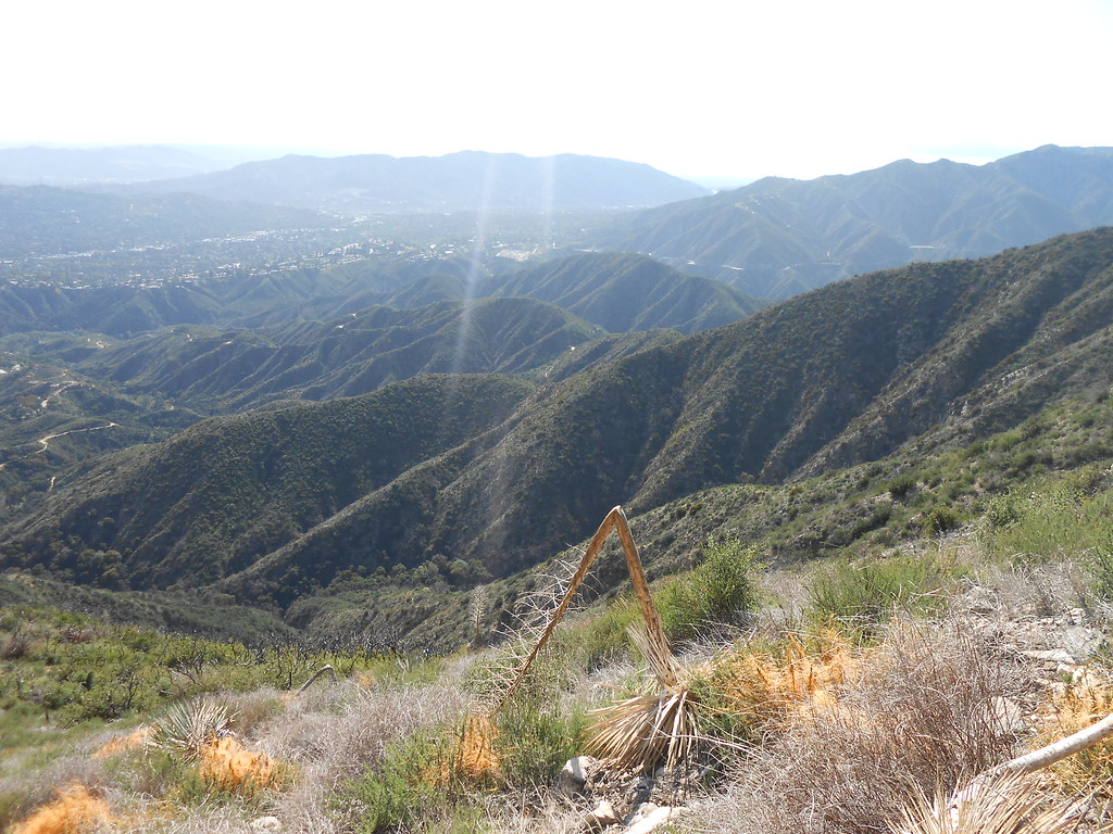
Shadows on Strawberry:
Well, I ran out of time and had to get home quick. Care had to be taken on the descent while traversing from the main summit ridge down the rocky upper ridges of the Saucer Branch onto a sub-peak I've heard called "The Shlubb." There was a use trail down to the saddle, but on the short uphill to the Shlubb, the brush got considerably thicker. Here's looking back up at the summit from that location:
From there, care also had to be taken to make sure I got onto the correct ridge. The hillside is very rounded and begins to drop away very steeply so you can't even see the ridge below you for some time. Once you get onto the correct ridge line it's a straight shot down.
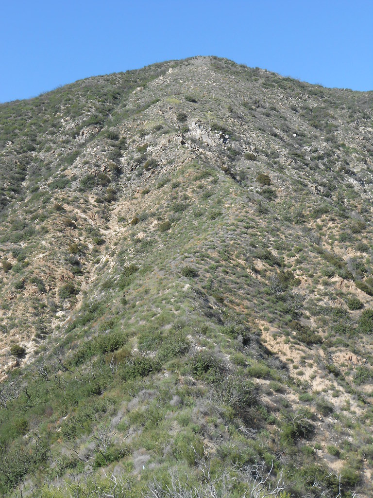
Looking over at the ridge I ascended:
There's a rocky patch right at the steepest part of the ridge that requires a bit of careful footwork as well. Looking back up at it:
All in all, a solid conditioning hike very close to home. However, picking the right starting point both on the ascent and the descent is critical. In addition, it really shouldn't be attempted in warm weather. Enjoy!

