


From the ramada at Inspiration Point, I headed down the One Man & Mule Road a short ways, to where it's possible to follow some use trails up to Point 4668. I then started down the Castle Spur ridge.
The ridge has some animal trails to follow, and signs of perhaps human work from long ago. But it can be a tough scramble at times, with thorny bushwhacking, steep scree, and route-finding around cliffs.
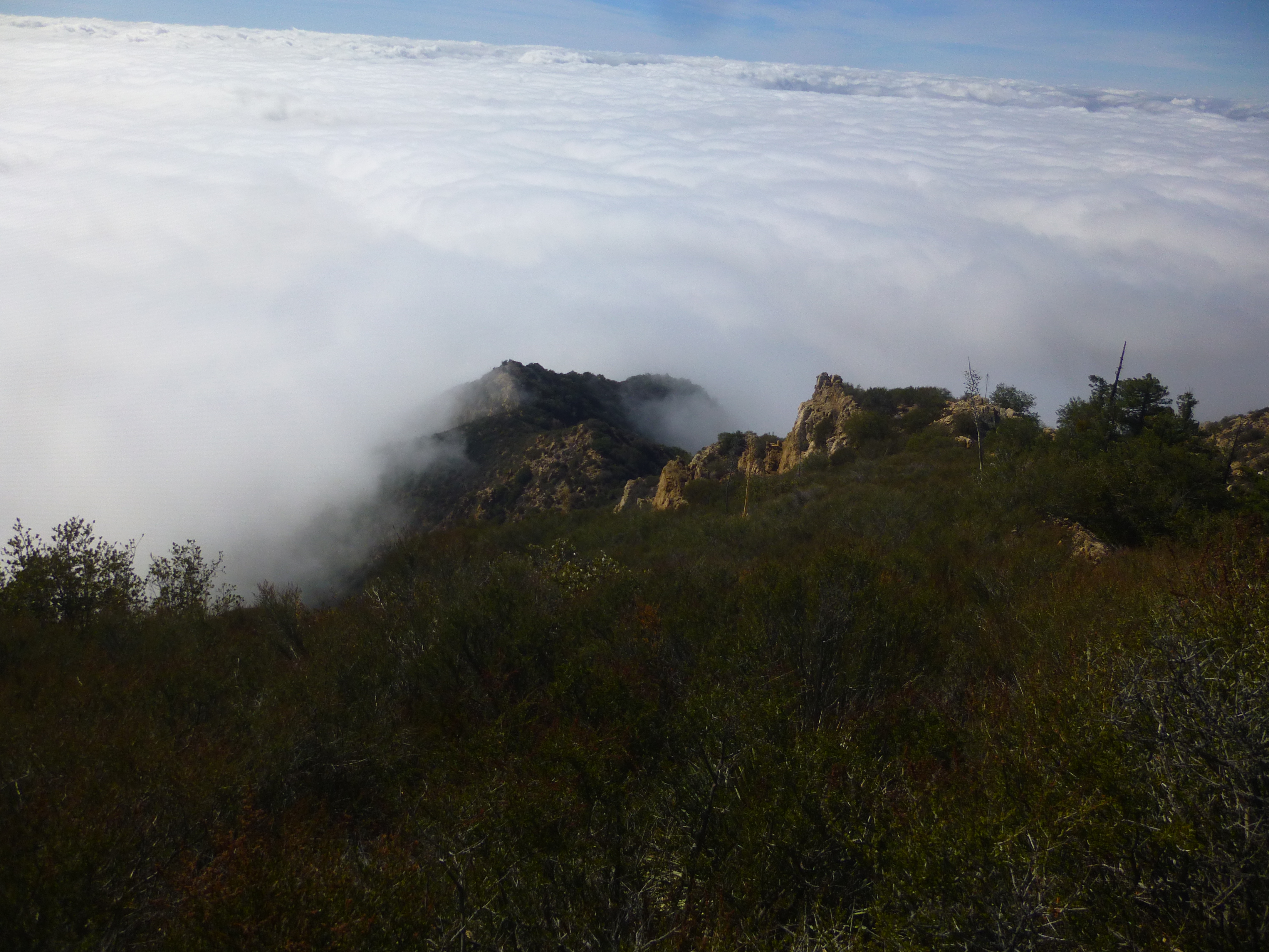
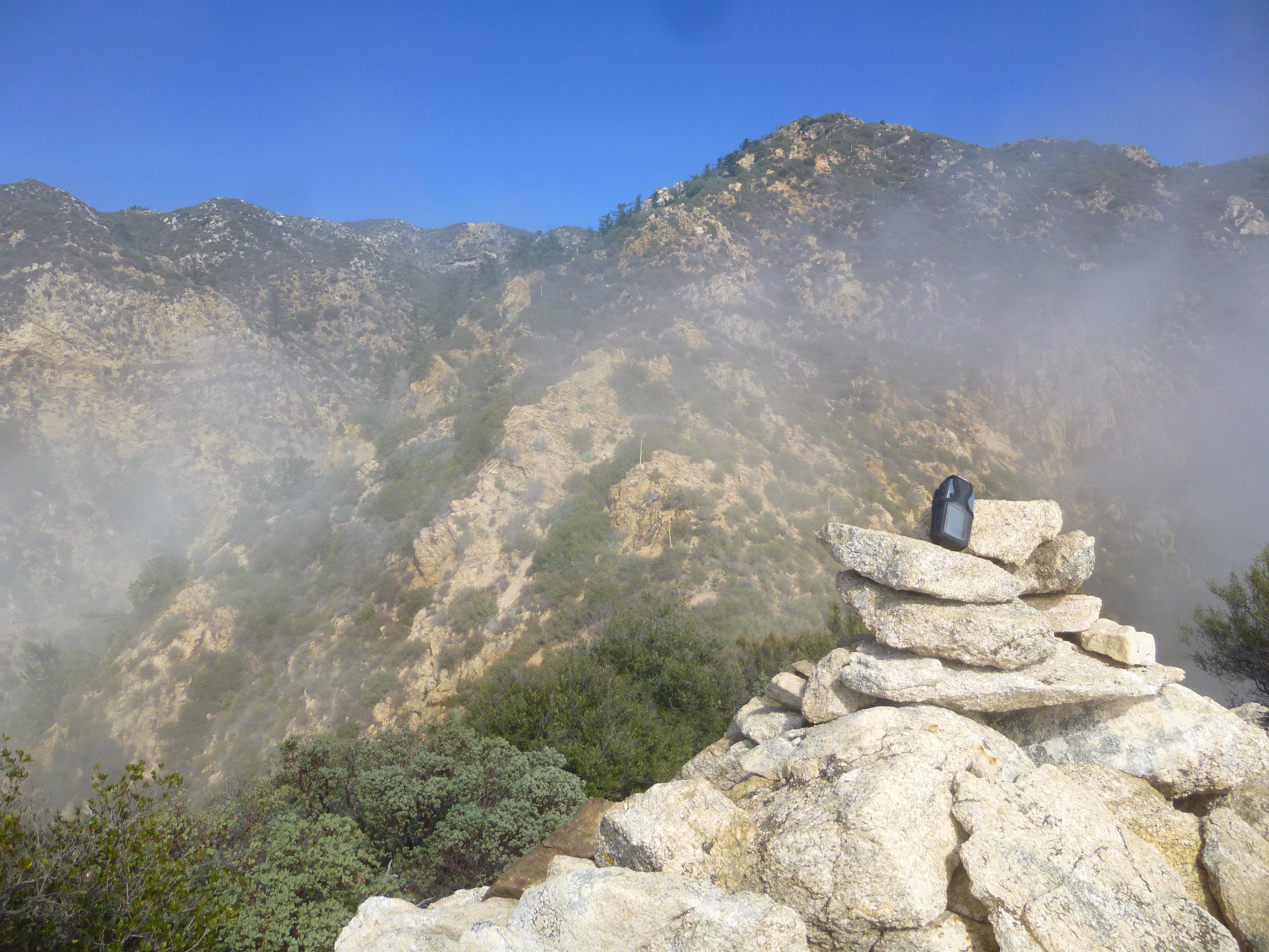
The clouds didn't make my job any easier. But I progressed steadily and could see my goal poking above the mist.
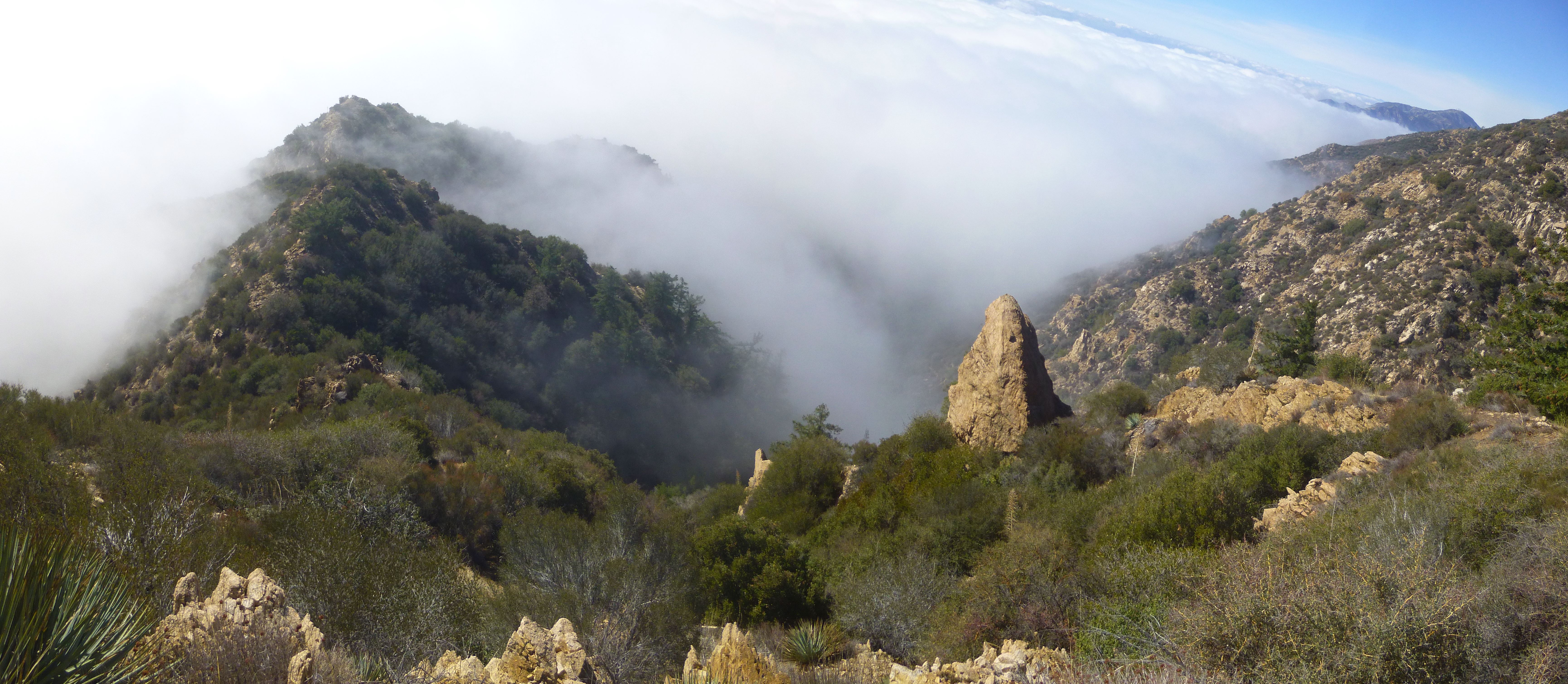
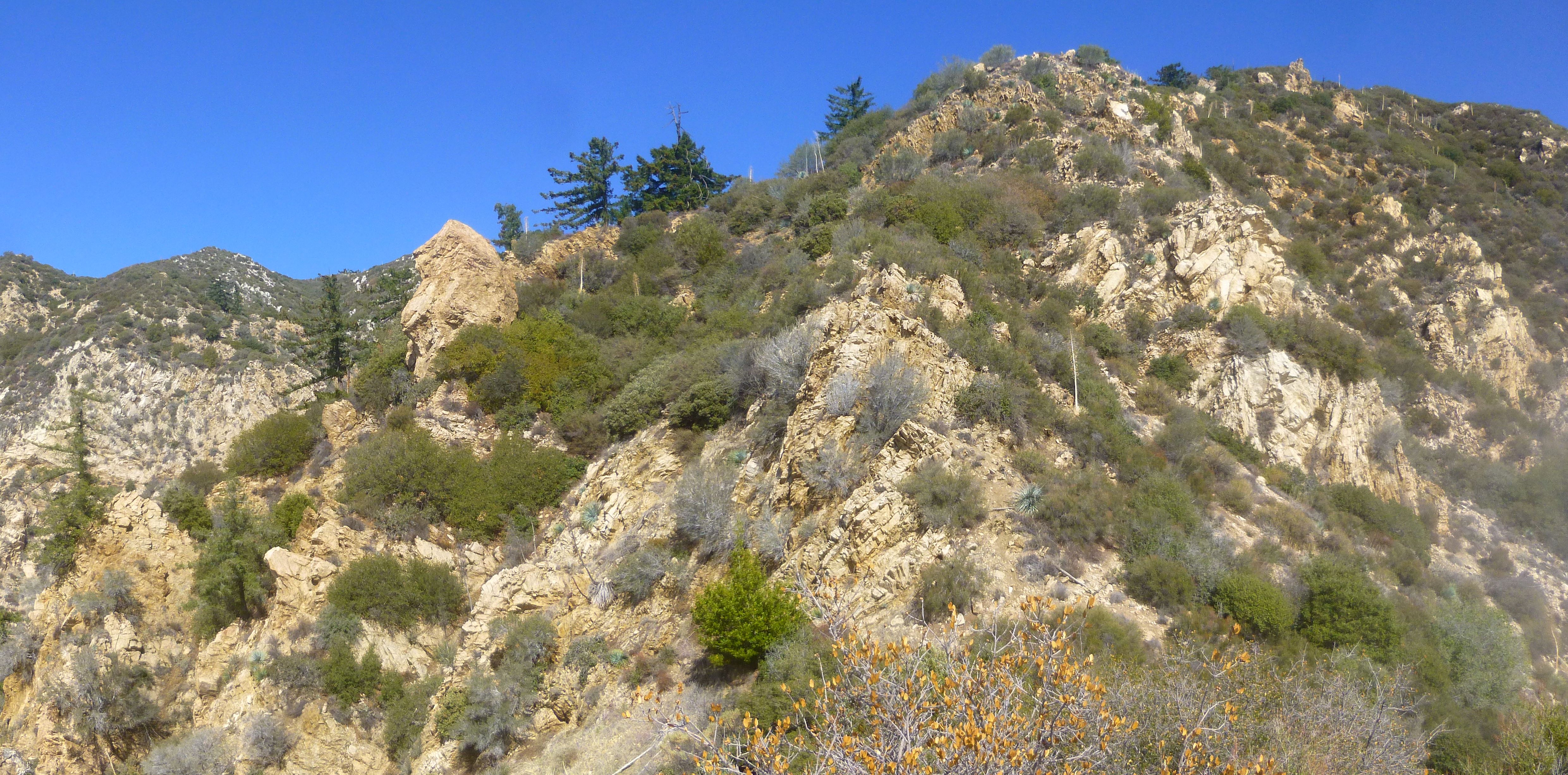
The views of course would be spectacular on a clear day. Still I enjoyed up-close panoramas of the rock formations for which Castle Canyon was named.
After scratching up my legs pretty good, I reached the Point.
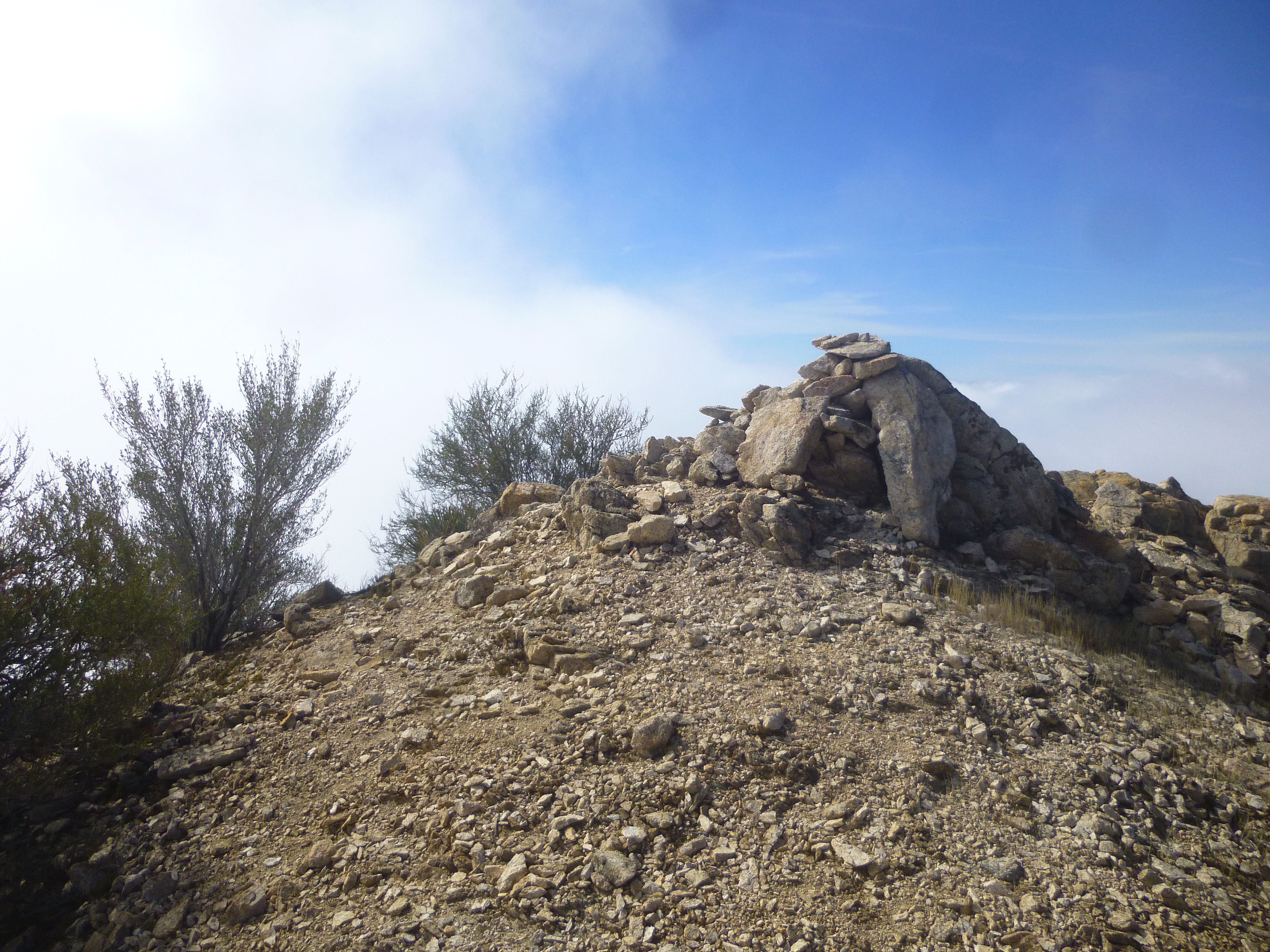
A weather-beaten cairn crowned the small summit. I improved it and looked back up the ridge as the haze lifted, revealing Inspiration Point in the distance.
The sense of fulfillment lingered for quite awhile, as I negotiated a radical gully down to the relative safety of Castle Canyon.
While fooling around in the canyon, I happened upon a water mine tunnel.
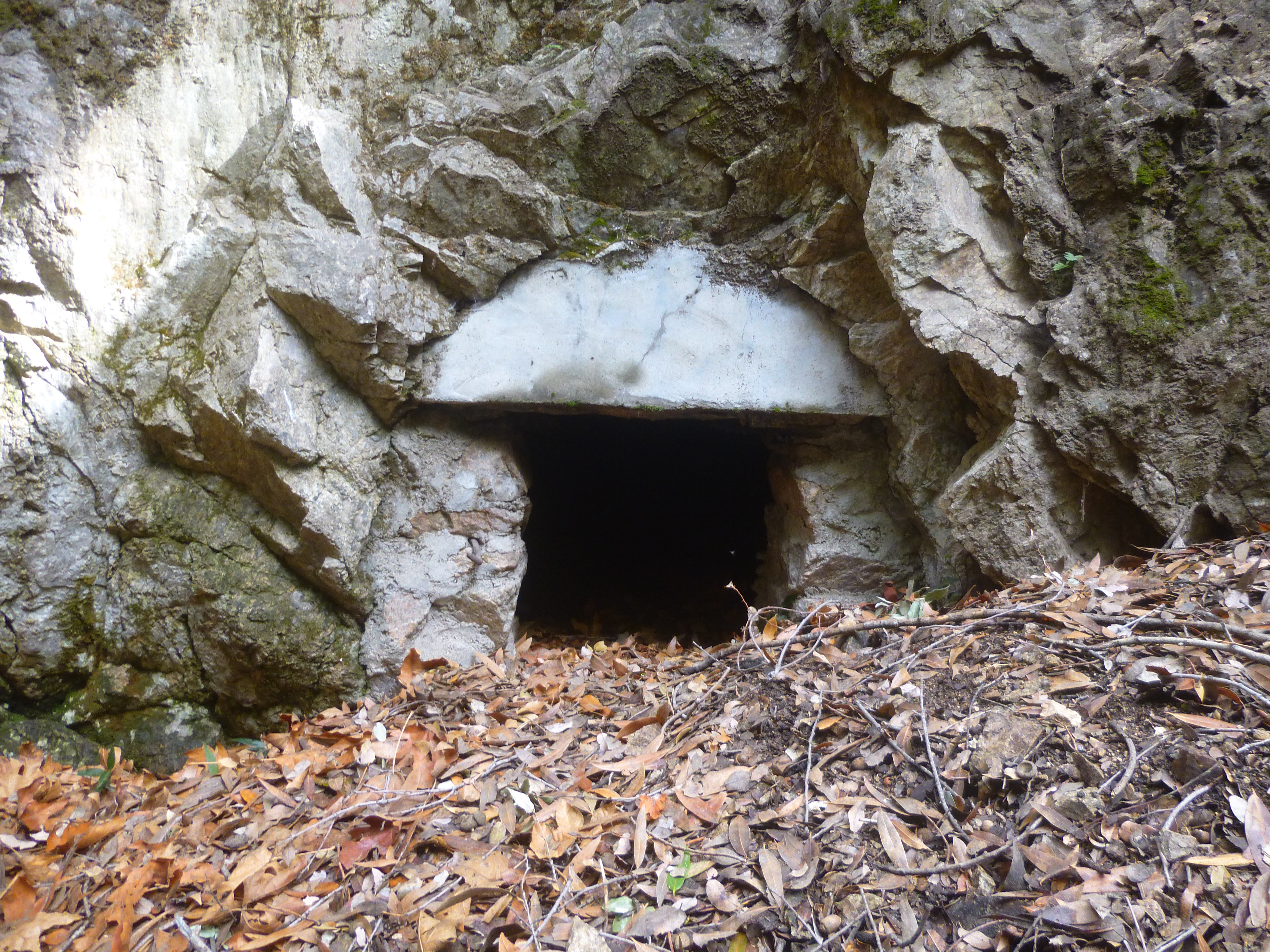
Unfortunately, about a million ants have taken up residence near this tunnel, so I did not stay long.