POTATOE Loops: SGDM Training Hike #1

TRs for the San Gabriel Mountains.
Post Reply
User avatar
Sean
Cucamonga
Posts: 3787
Joined: Wed Jul 27, 2011 12:32 pm

Post by Sean »

I conceived POTATOE Loops as a training hike for the San Gabriel Death March. It is approximately half the distance and gain of the March (though at a lower altitude), and the gain per mile is nearly the same. Also, being not particularly fond of Potato Mountain, I thought it would likely test my sanity, as I imagine the Death March will.

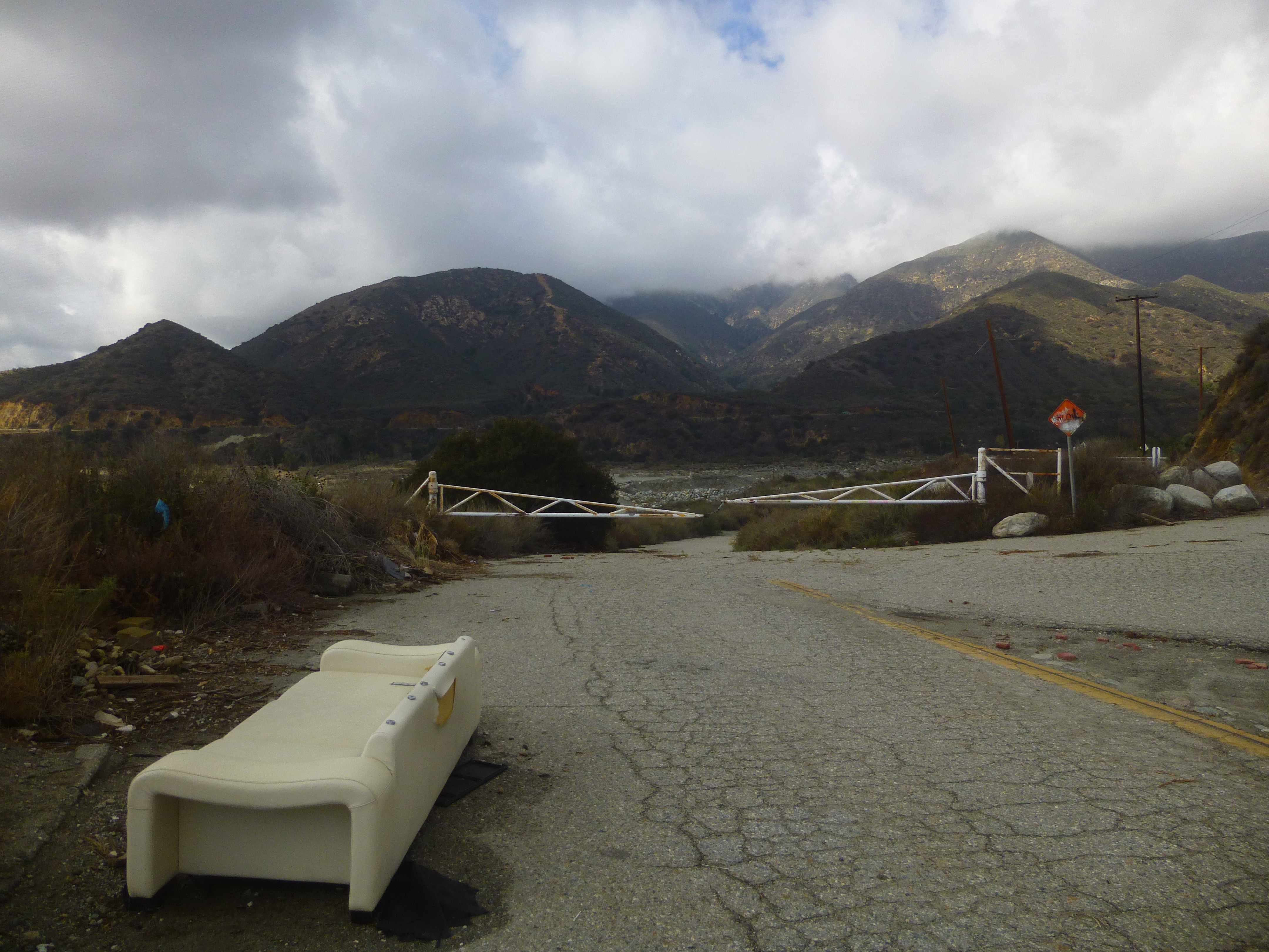
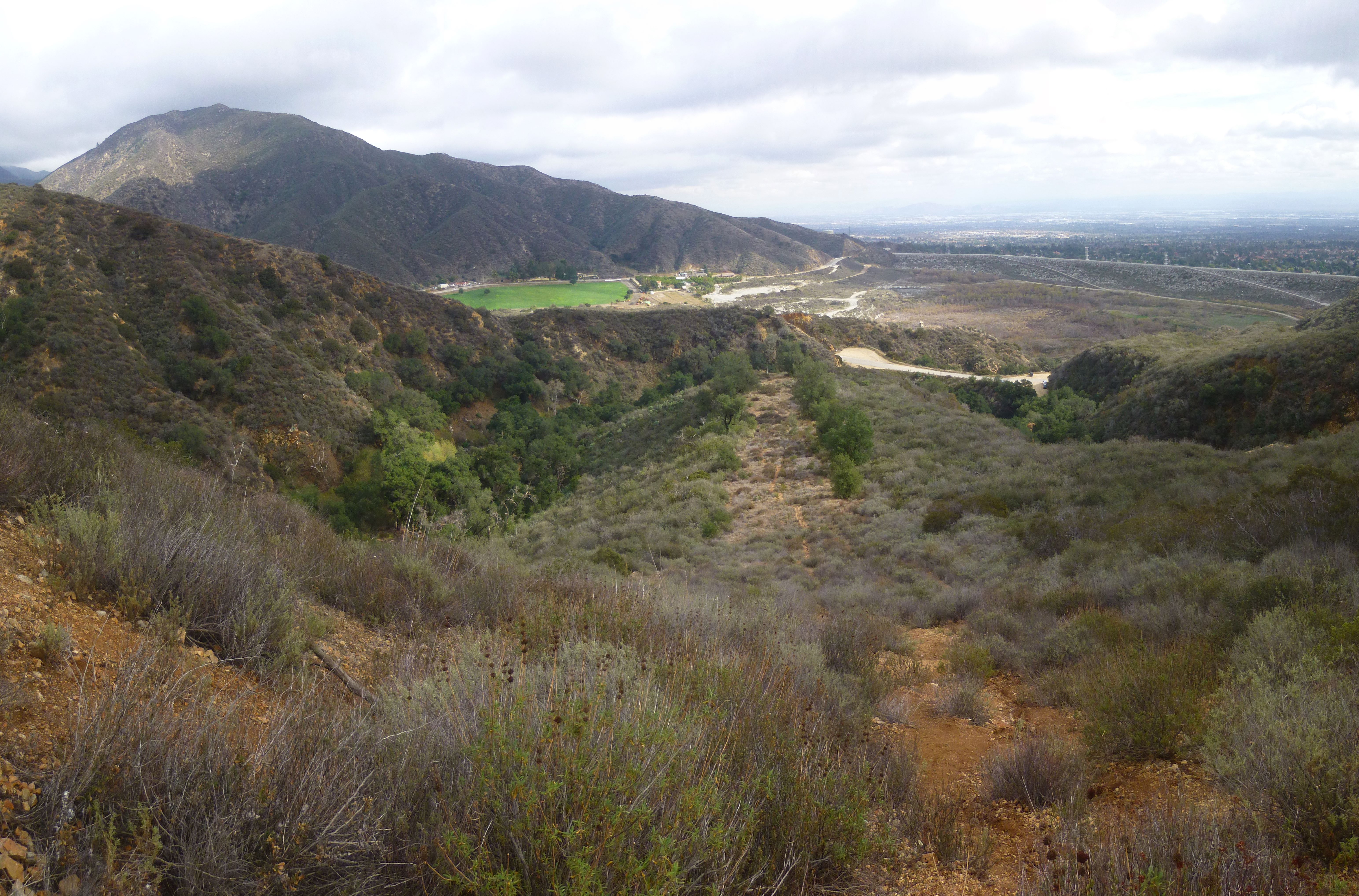
Basically, the idea is to summit Potato Mountain eight times in one day via the fire road/firebreak loop. Start at the Evey Canyon gate off Baldy Road and go up the fire road. After a quarter-mile you'll notice a trail on the left heading up to a firebreak. You use that to form the loop with the standard approach via the fire road and ridge trail. Do the loop whichever way you want, but I recommend mixing it up, going counter-clockwise, then backtracking clockwise, etc. The firebreak is very steep and loose in some sections. But I still managed it in hiking sandals--just barely.

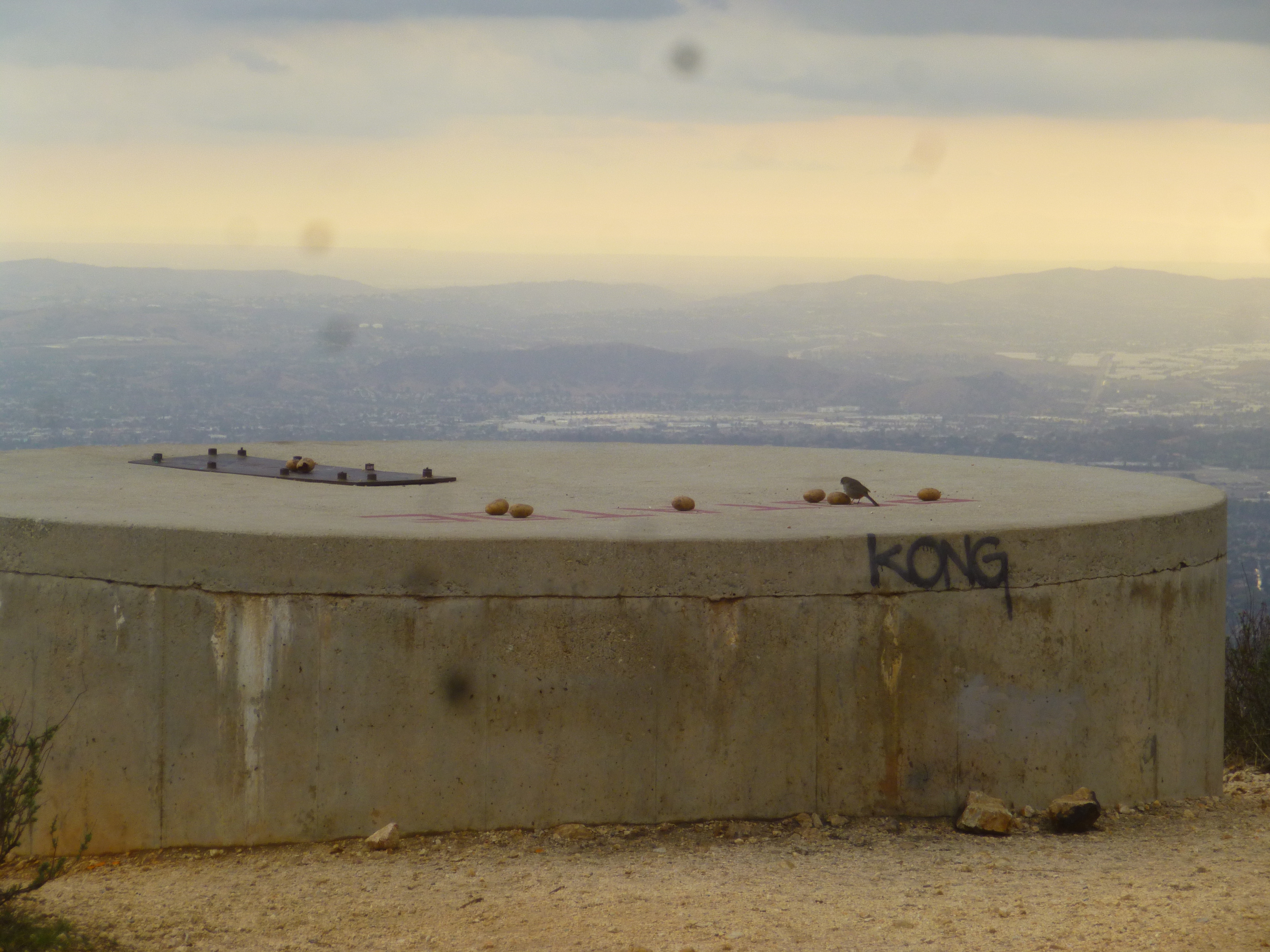
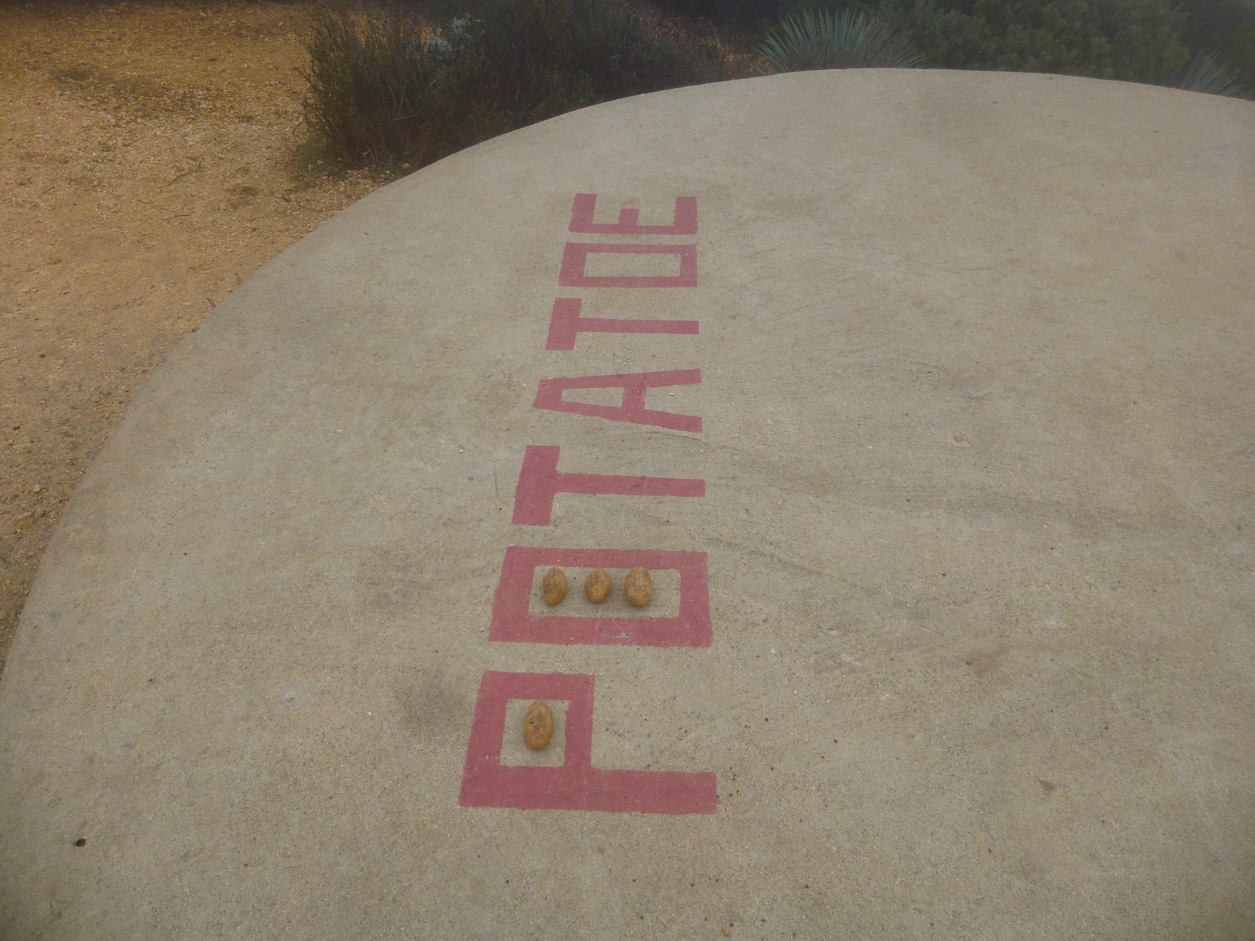
Each time I summited Potato, I placed a small potato on the tank, where the word "POTATOE" is painted on the concrete. I carried two potatoes and left one each time I summited, then after two loops I returned to the car for more potatoes. During my last loop, some birds apparently flew off with several of my summit potatoes. So I didn't get the money shot of all eight together.

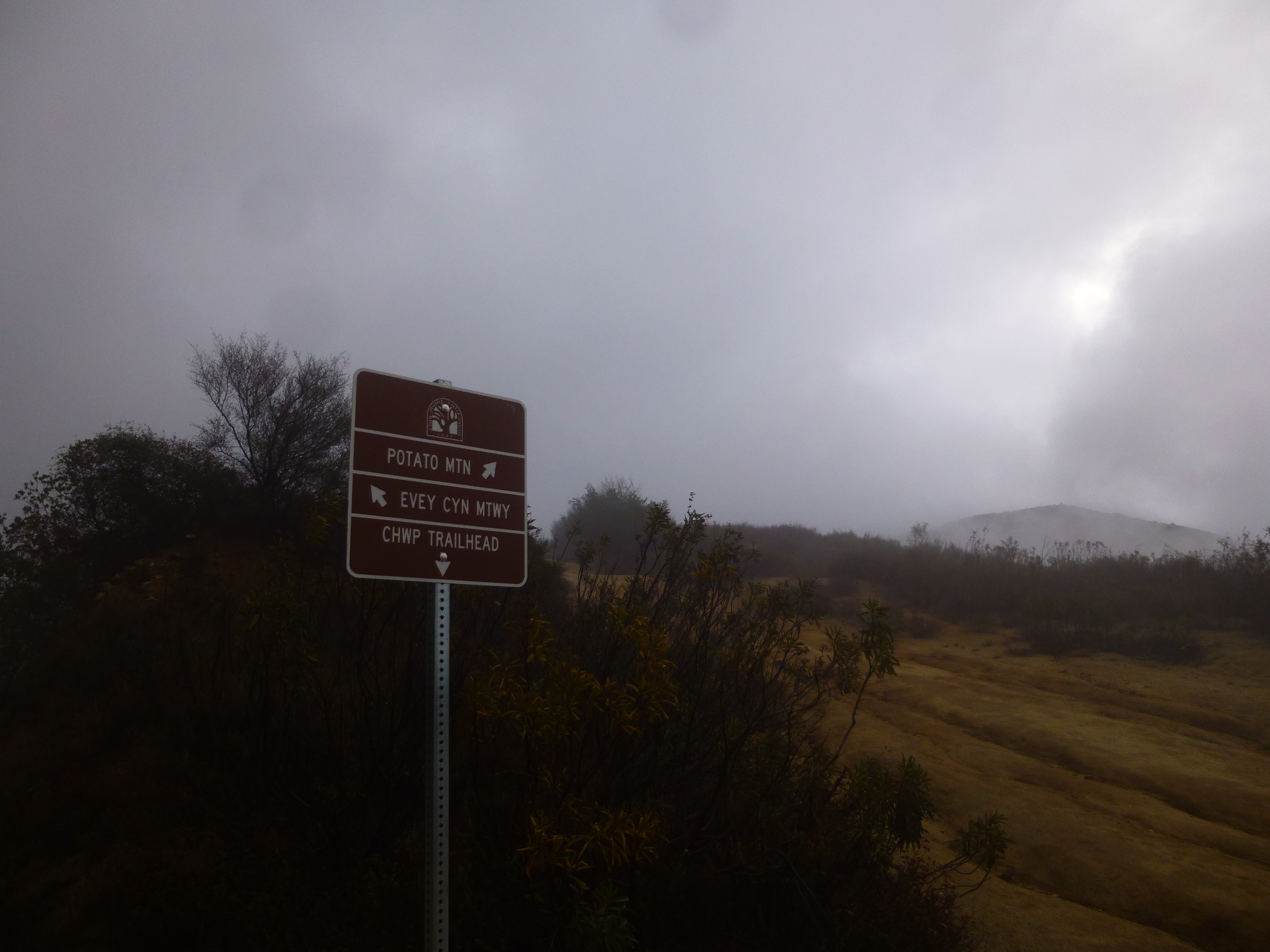
Trail Sign during first loop. It was cloudy and cold all day long.
Image

I finished four loops, then drove into Rancho for lunch.
Image

Driving back from lunch. Note the firebreak going up the east ridge of Potato.
Image

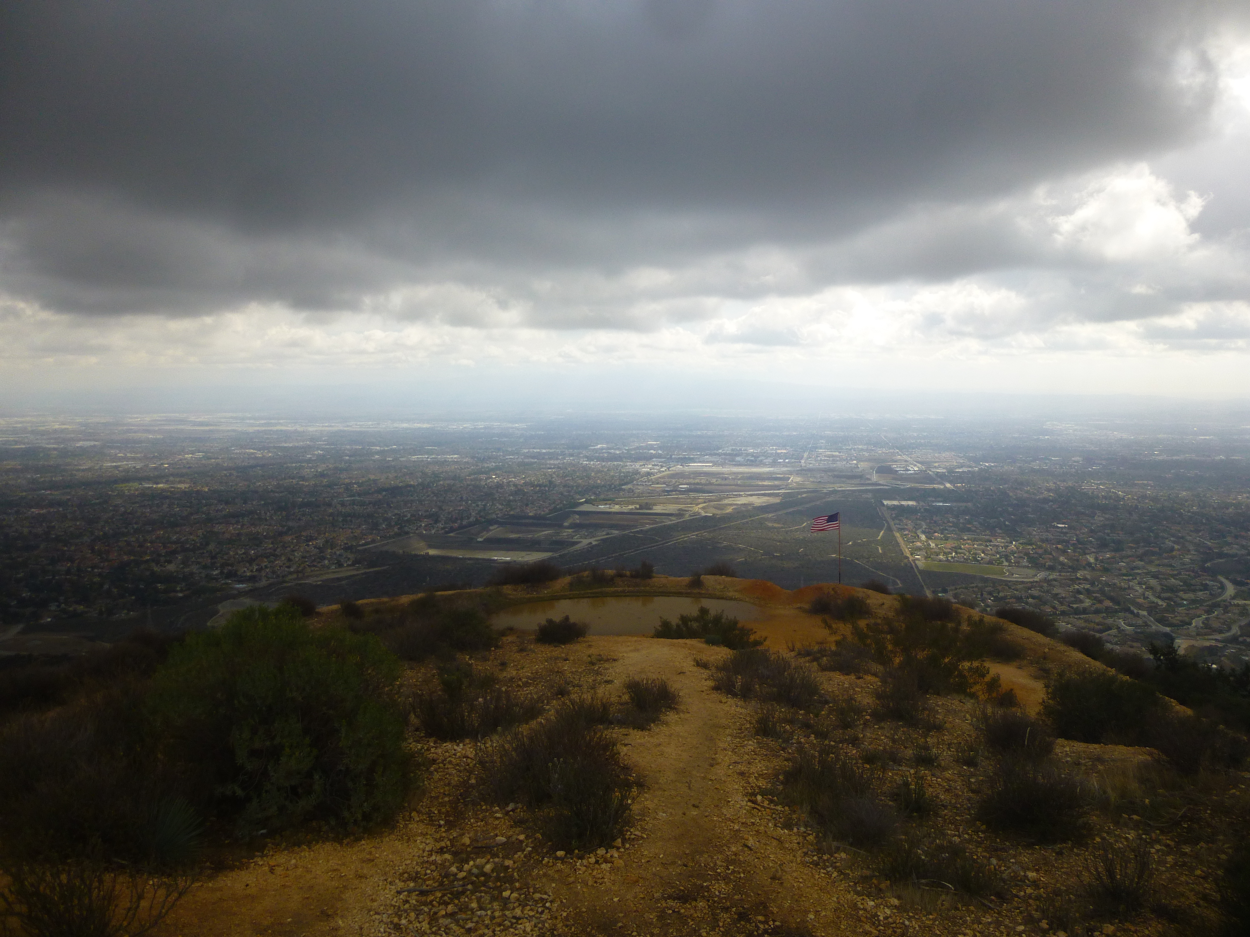
The clouds lifted from the summit during my afternoon loops.
Image

Image

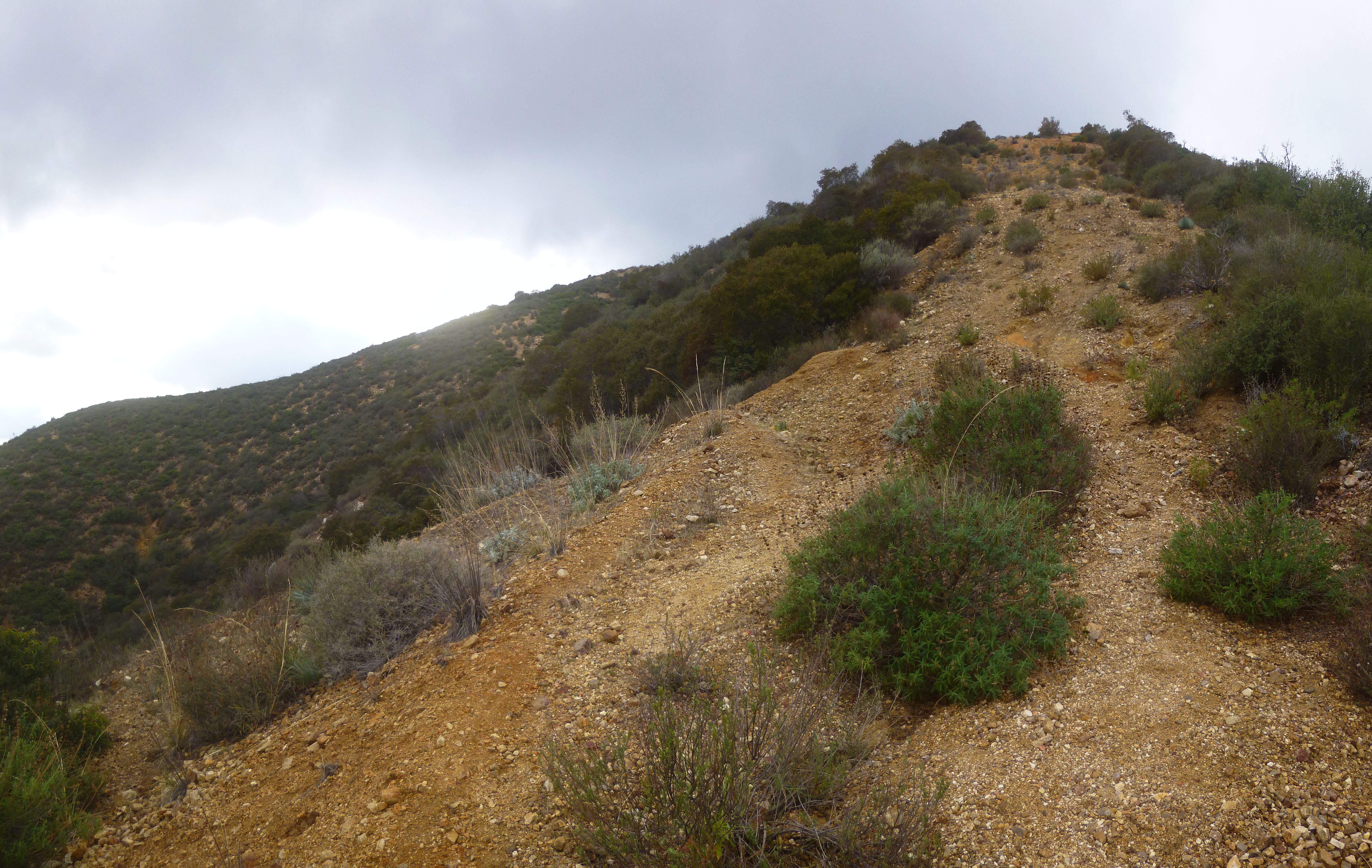
Frankish Peak and east ridge firebreak
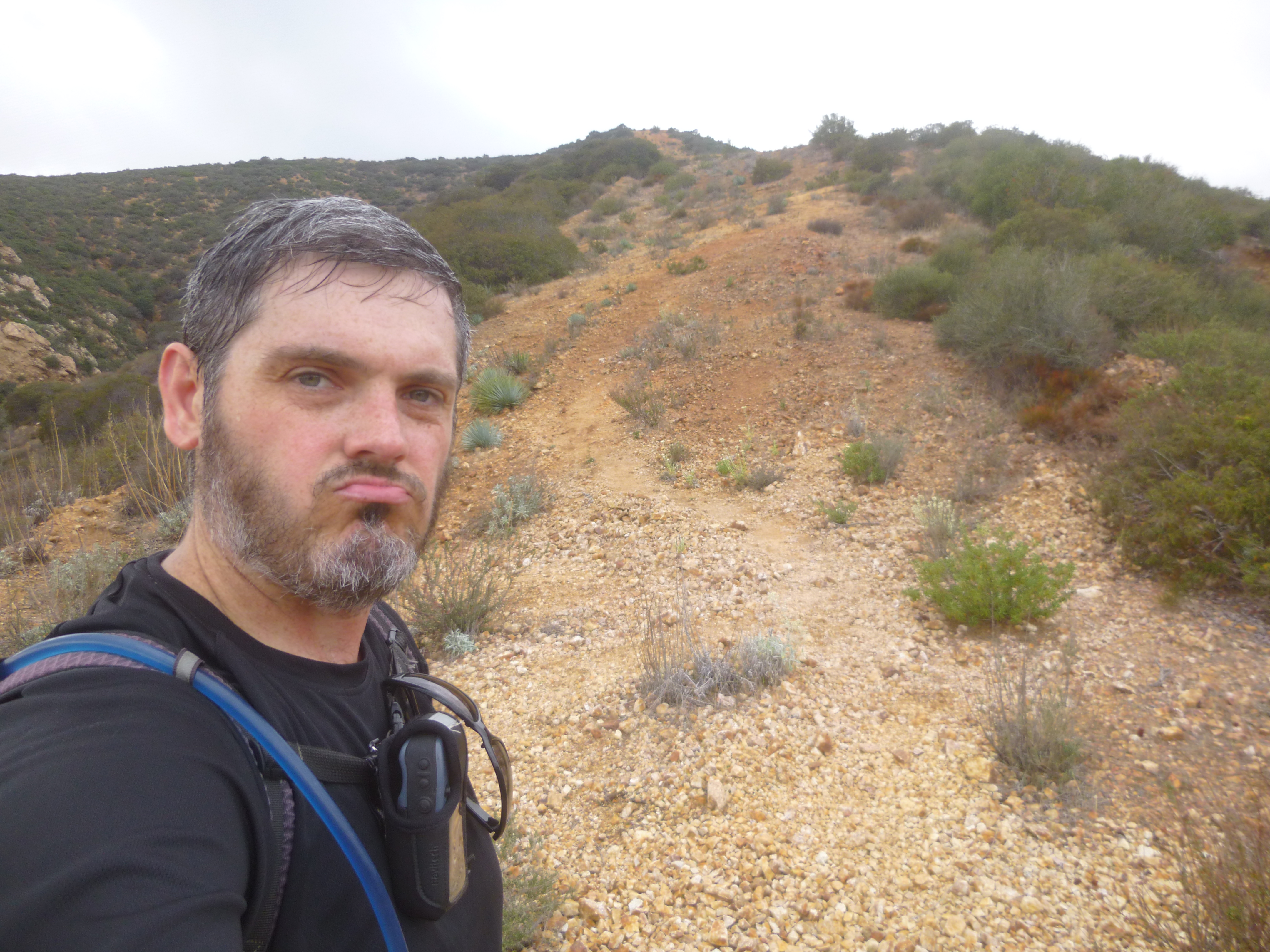
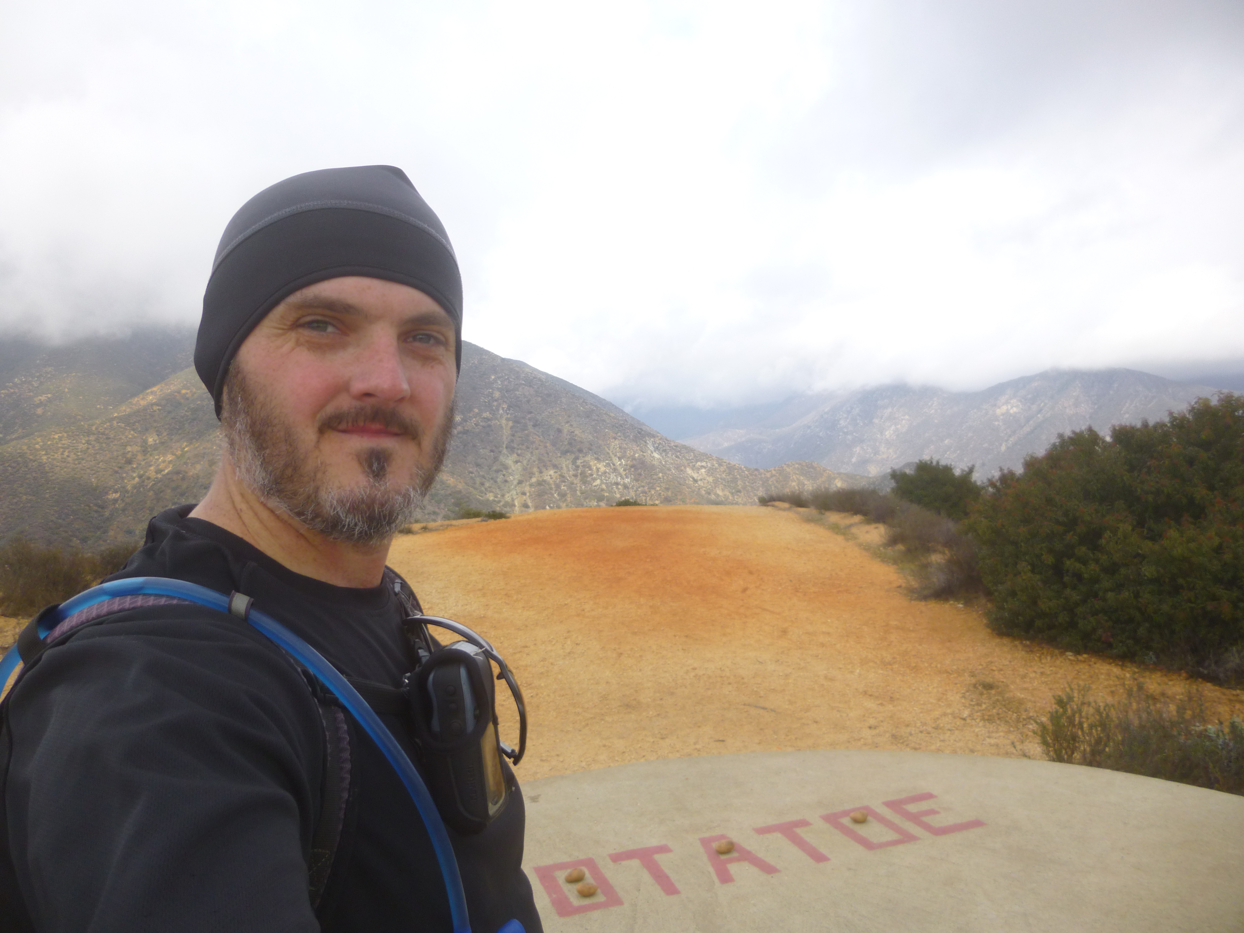
Image

Final loop #8
Image

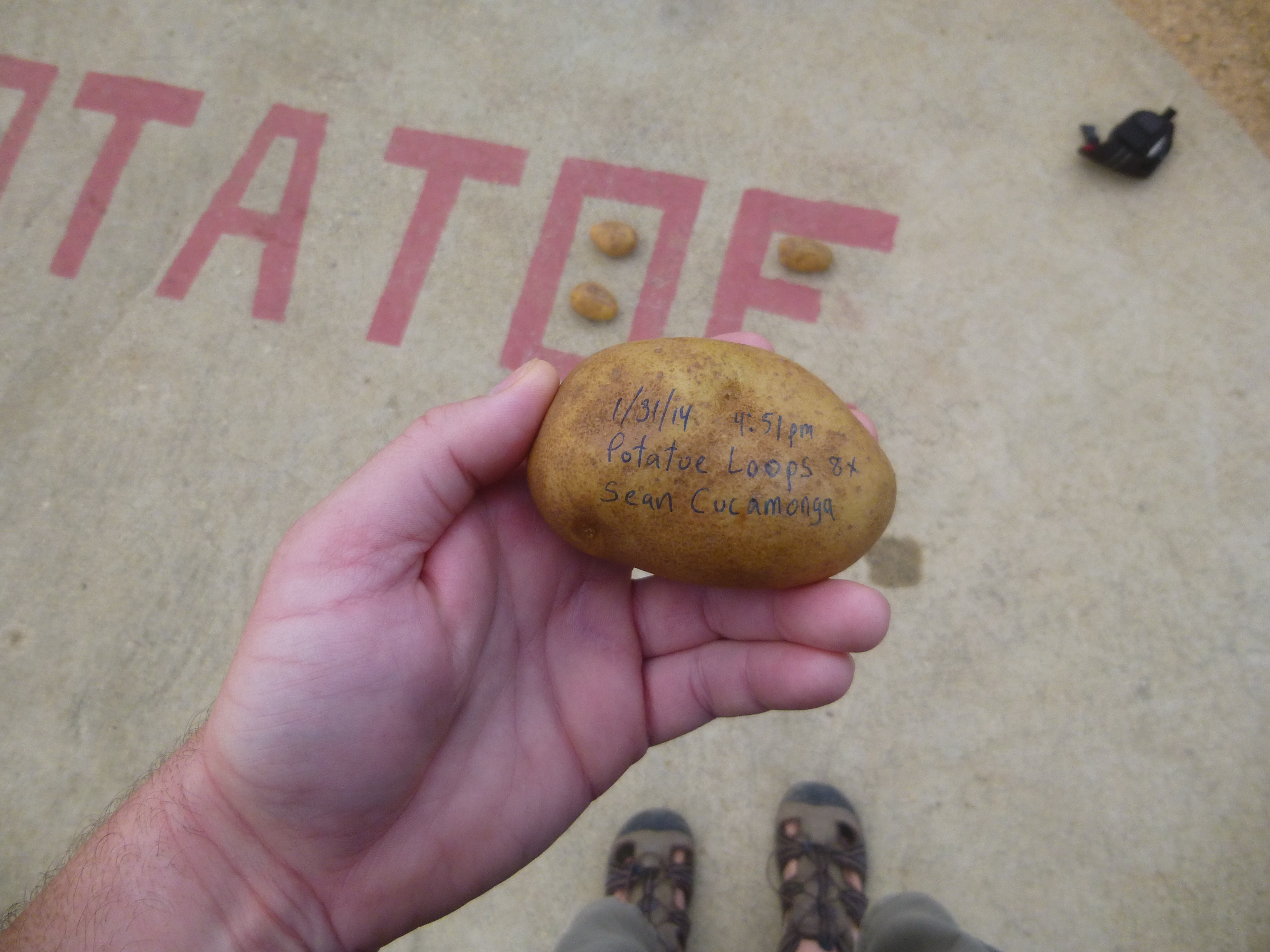
Bird eating my potato.
Image
User avatar
tekewin
Posts: 1195
Joined: Thu Apr 11, 2013 5:07 pm

Post by tekewin »

Sean C's P-8 insanity workout!

I was on Potato(e) 2 weeks ago and completely missed that little trail to the east firebreak. Clear as day in Google earth. That firebreak doesn't look too friendly just before it hits the road. The south firebreak looks interesting, but maybe not steep enough for your training.

Good luck on the death march.
User avatar
sesshin
Posts: 24
Joined: Tue Nov 12, 2013 11:53 pm

Post by sesshin »

Oh hey, free couch.
User avatar
Taco
Snownado survivor
Posts: 6010
Joined: Thu Sep 27, 2007 4:35 pm

Post by Taco »

Gettin' dem potatoe. I dig.
User avatar
Sean
Cucamonga
Posts: 3787
Joined: Wed Jul 27, 2011 12:32 pm

Post by Sean »

tekewin wrote: That firebreak doesn't look too friendly just before it hits the road.
Generally the firebreak is very steep, but it gets slightly ridiculous during the last tenth of a mile before reaching the road. That portion averages a 44% grade with little rocks everywhere.

Facing the evil grade on my seventh loop.
Image

Just below the road.
Image
Post Reply