Thrilla on Will Thralla

TRs for the San Gabriel Mountains.
Post Reply
User avatar
Sean
Cucamonga
Posts: 3785
Joined: Wed Jul 27, 2011 12:32 pm

Post by Sean »

A friend and I visited Will Thrall Peak earlier this week. Buckhorn Campground was closed for the season. So we parked at the exit gate and walked down the road to the Burkhart Trailhead. Only small patches of snow and ice remained here and there in shady sections. Hardly anything on the trail itself.

Image

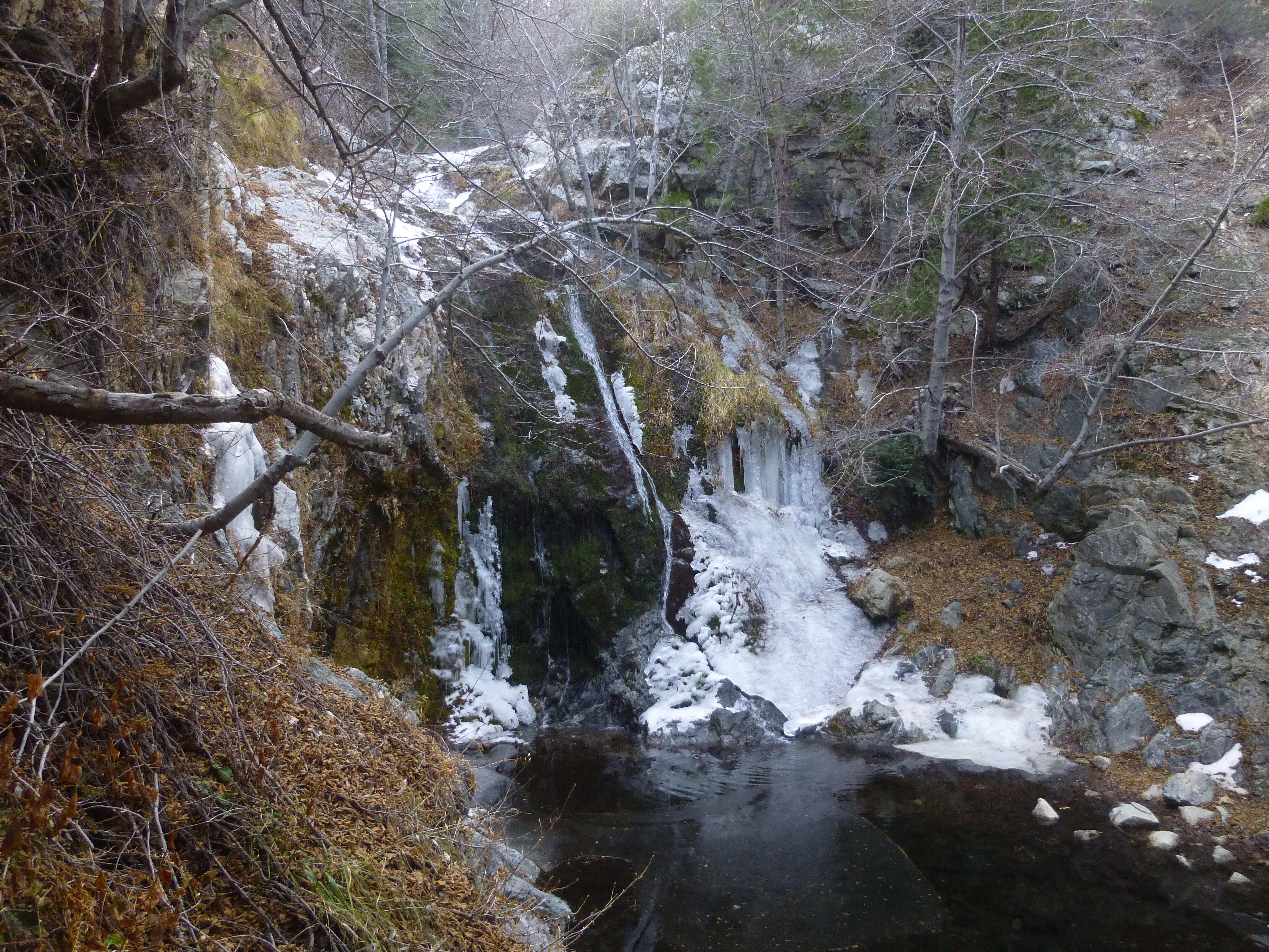
A steep but short path dropped us down to a view of partly frozen Cooper Canyon Falls.

Image

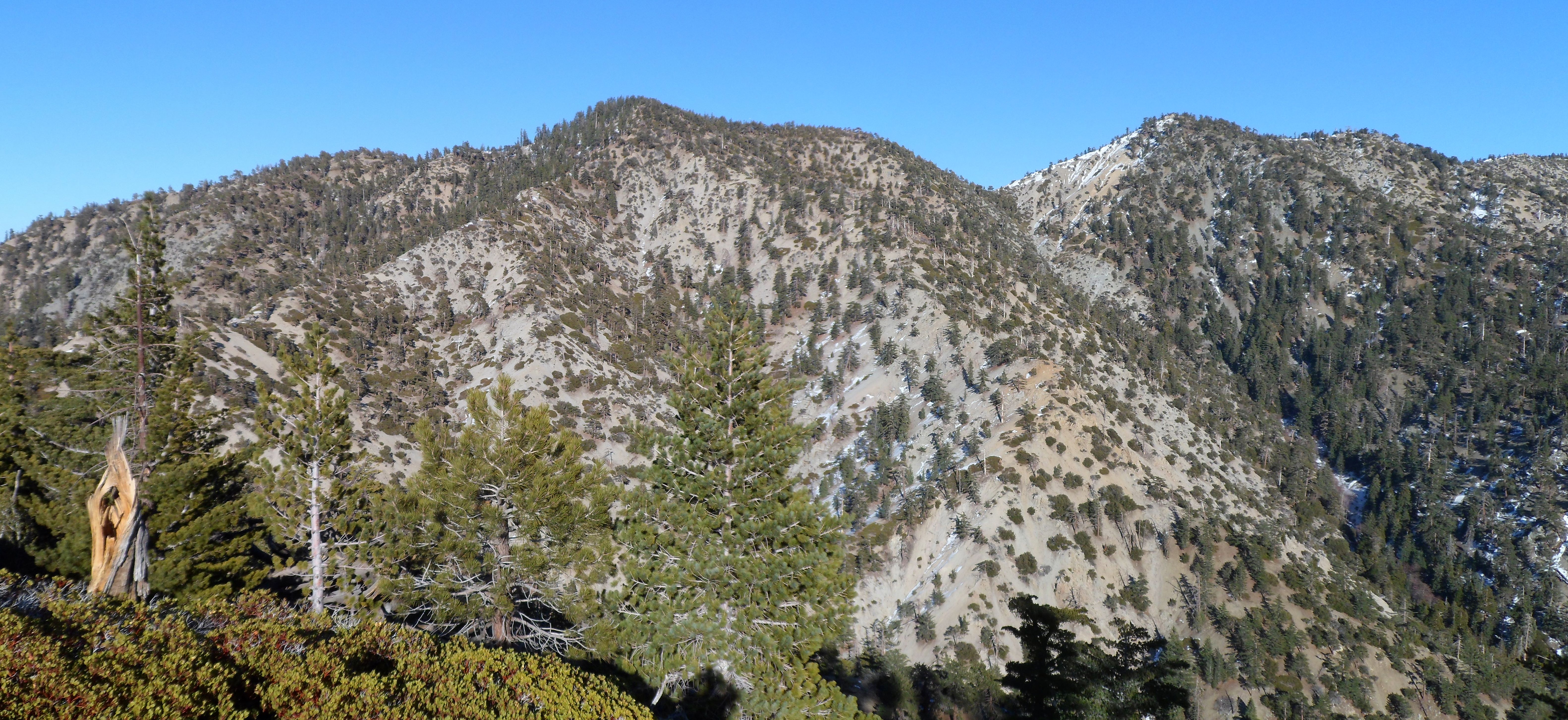
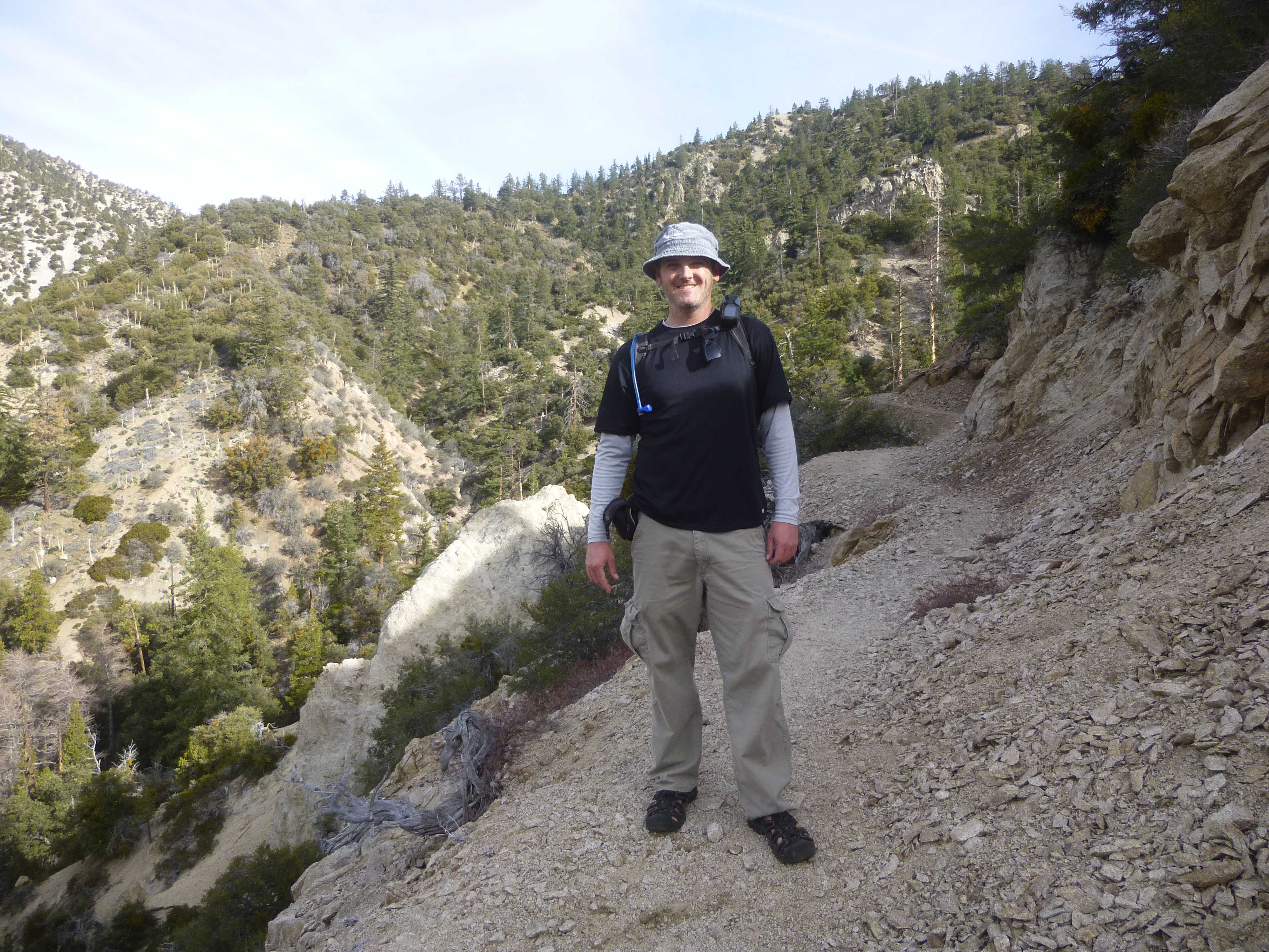
After crossing Little Rock Creek we entered my favorite part of the trail, with beautiful views of the surrounding rock formations

Image

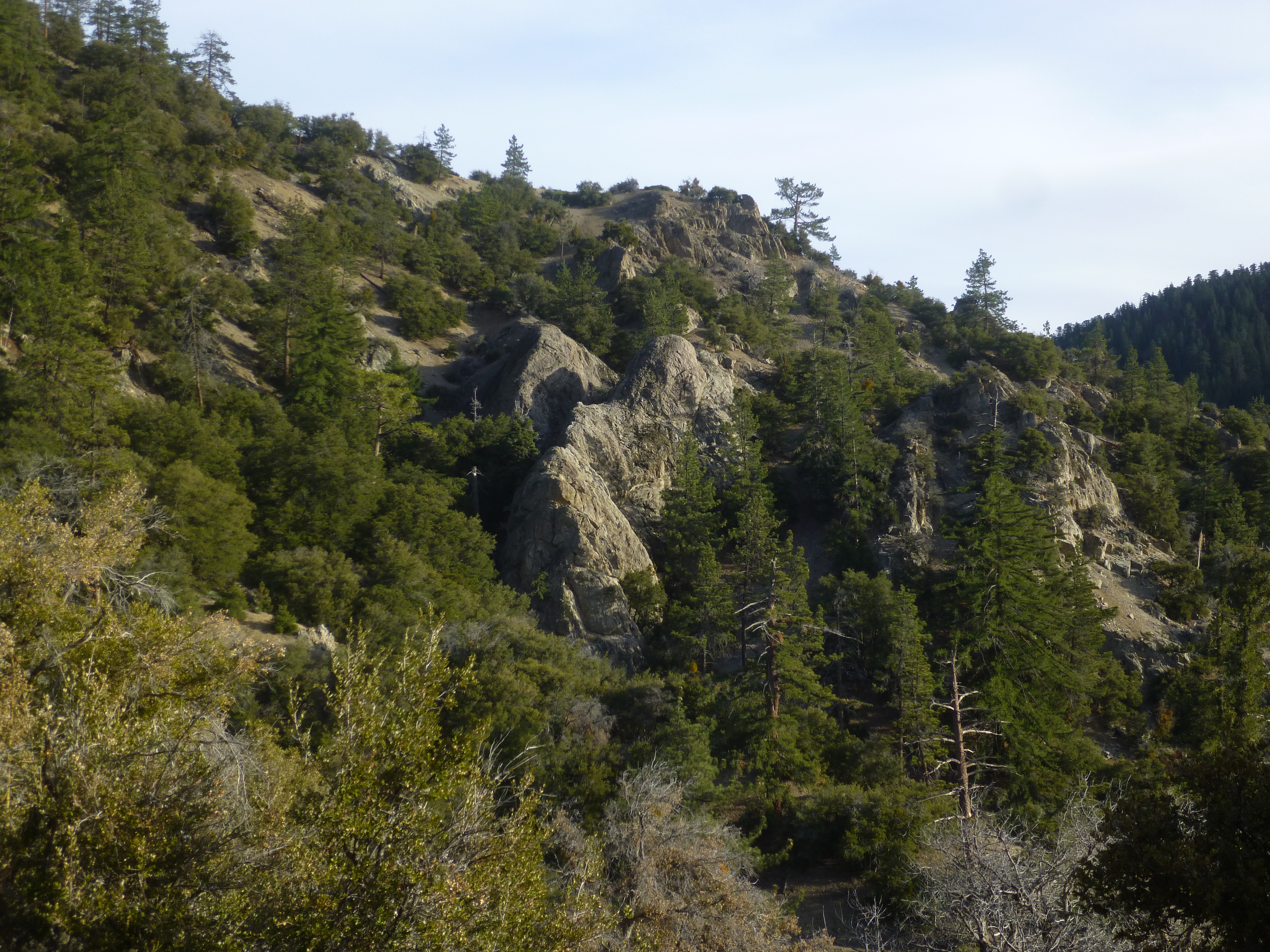
and twisting canyon space.

Image

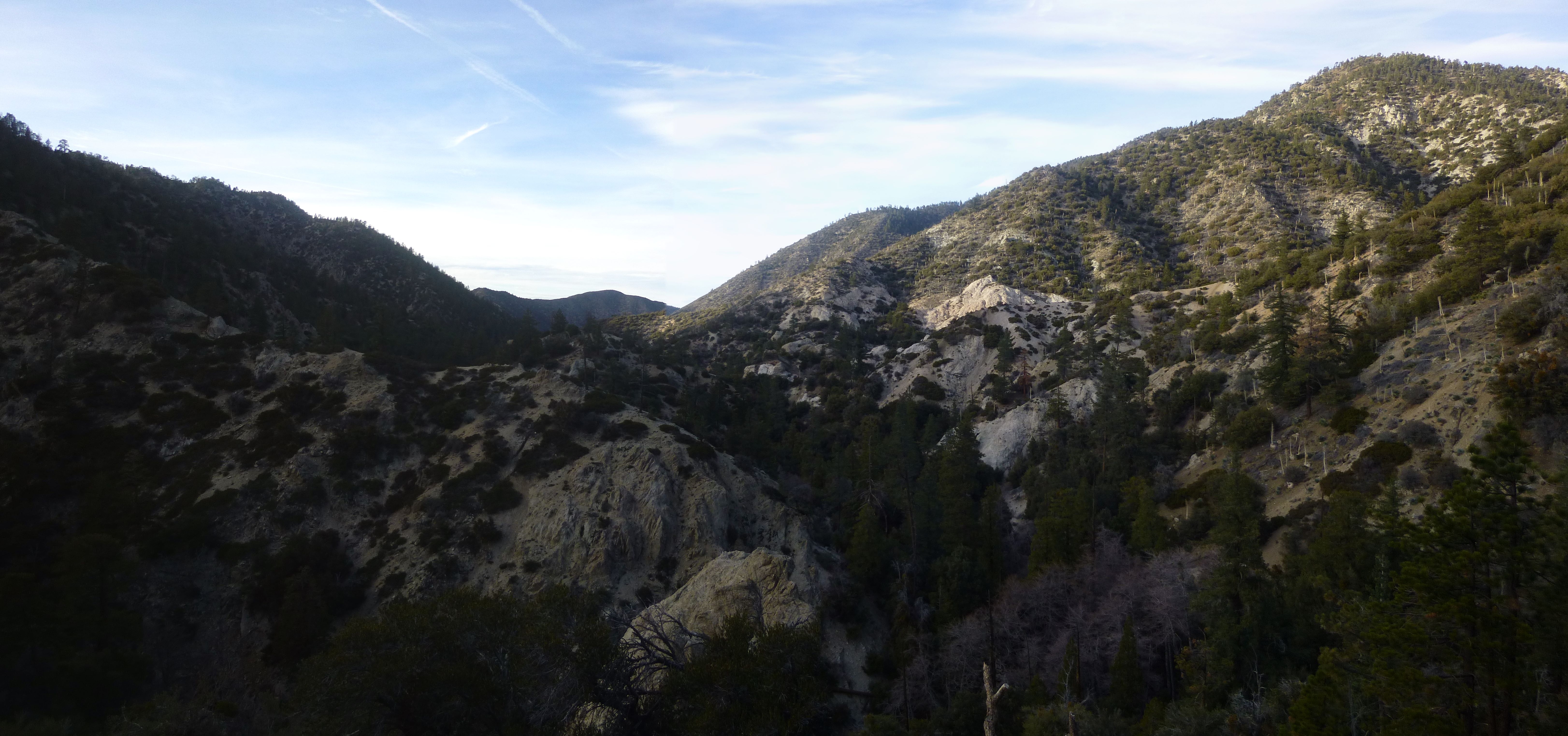
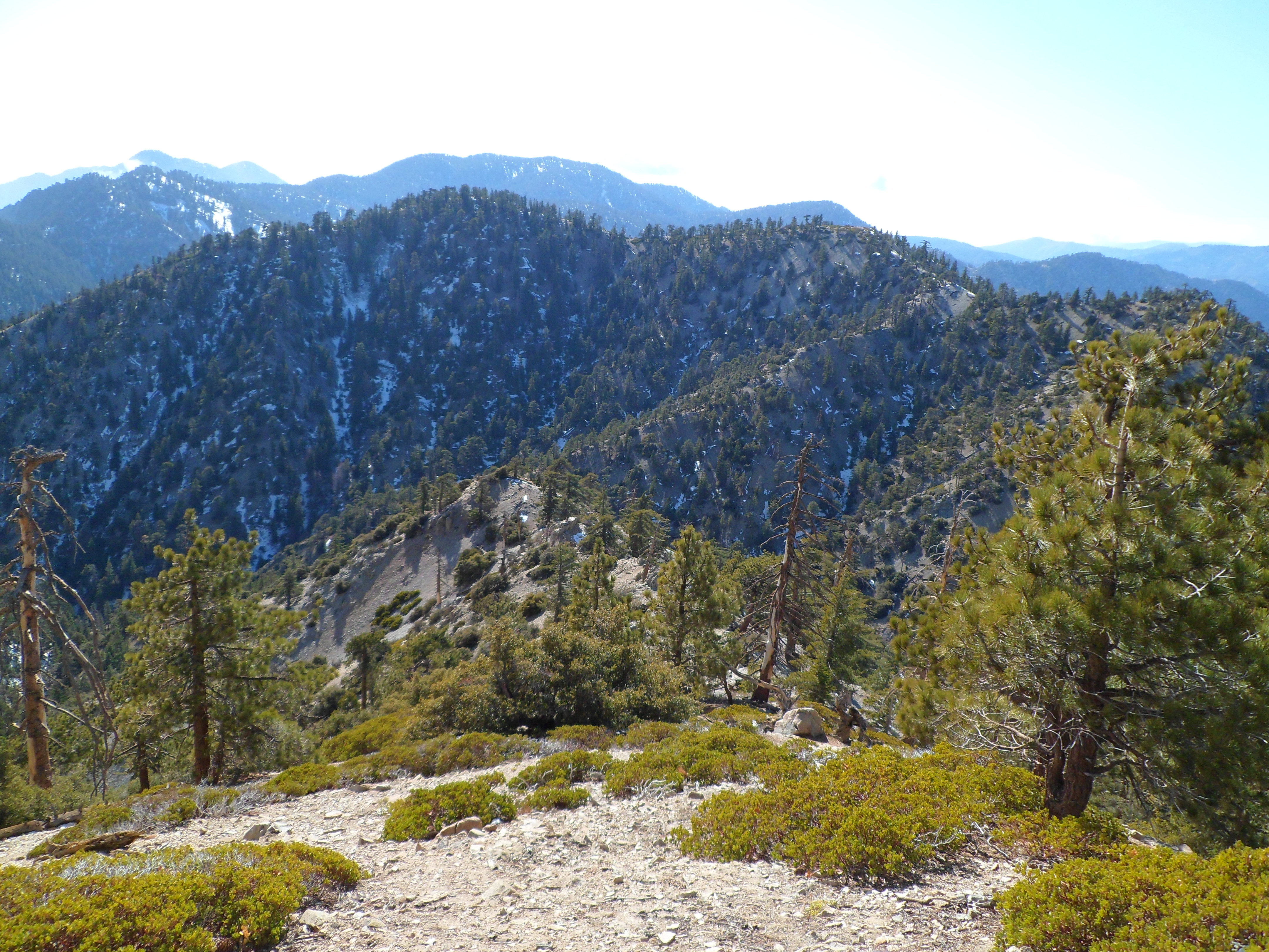
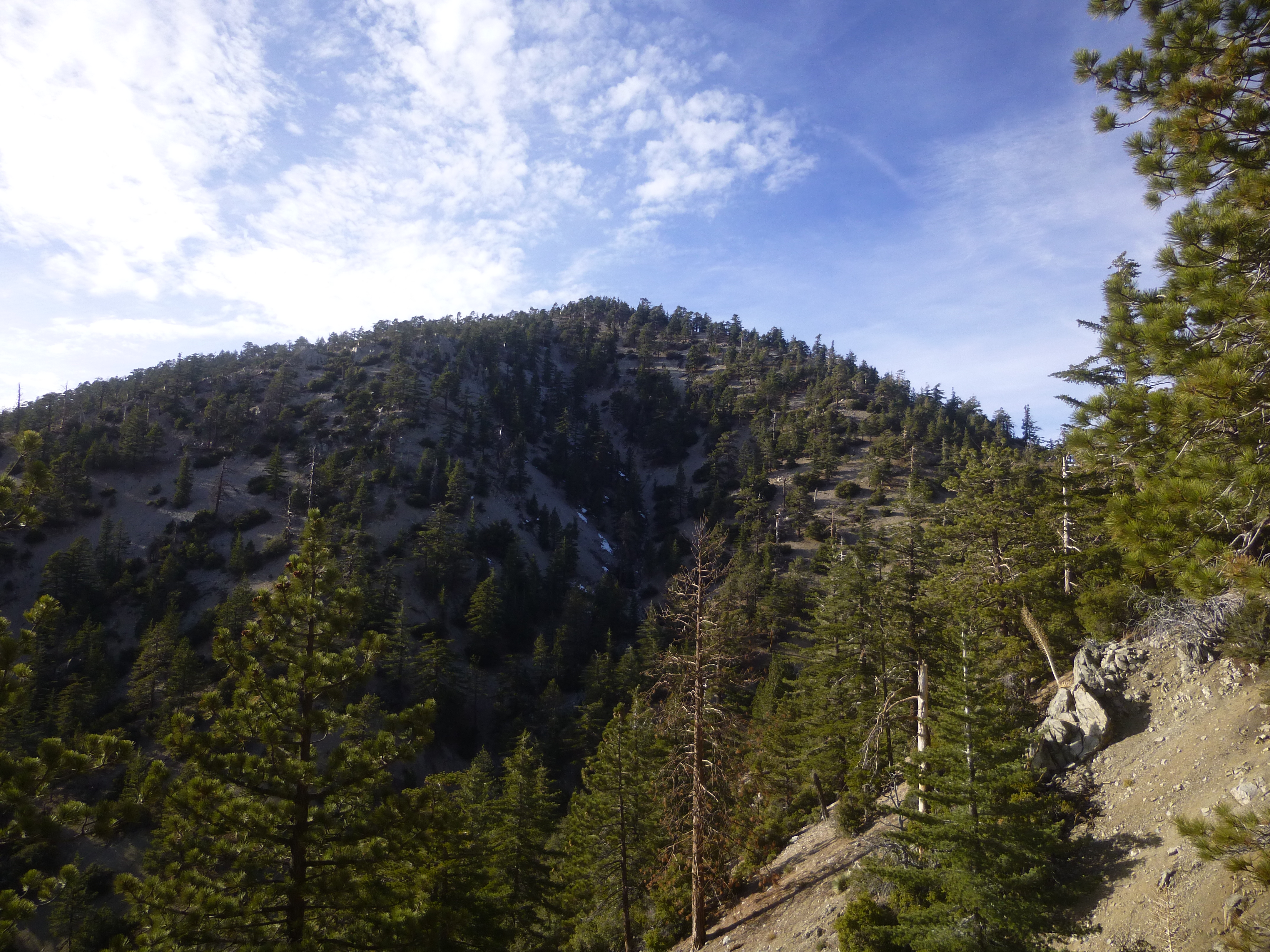
During the approach to Burkhart Saddle, Will Thrall beckoned us closer.

Image

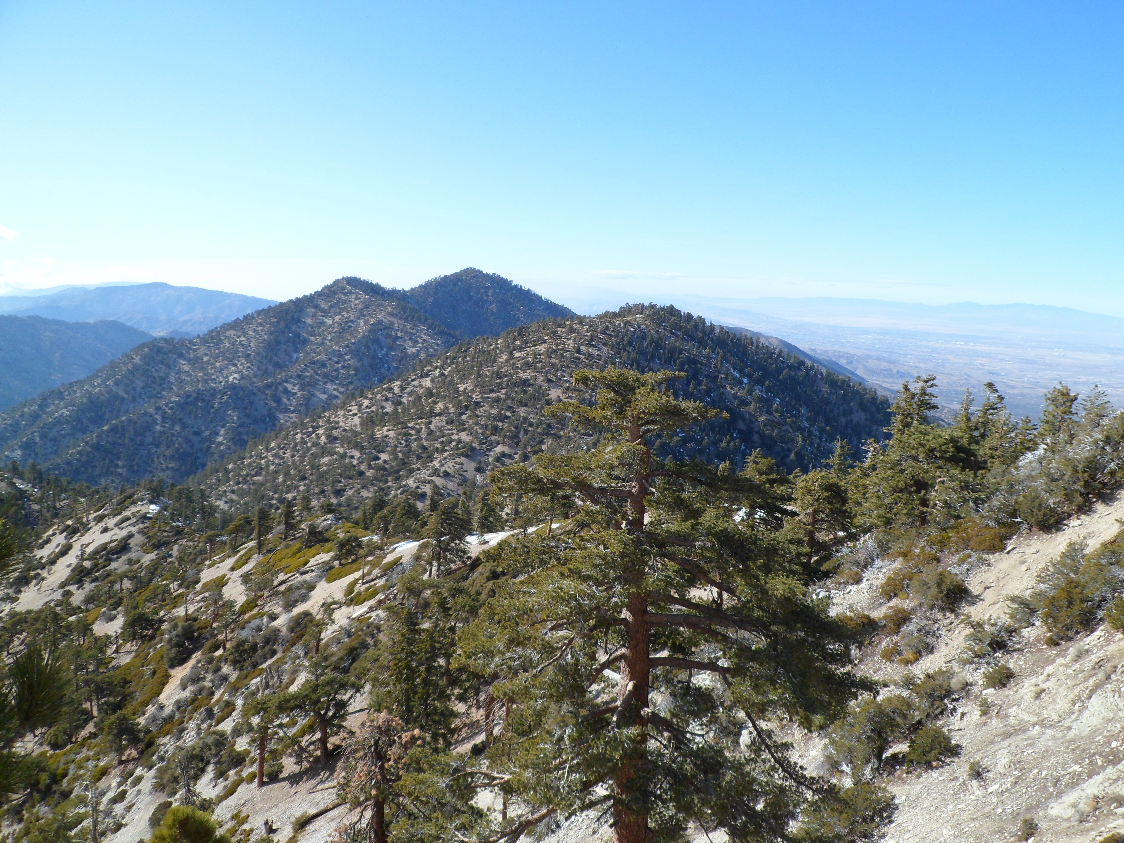
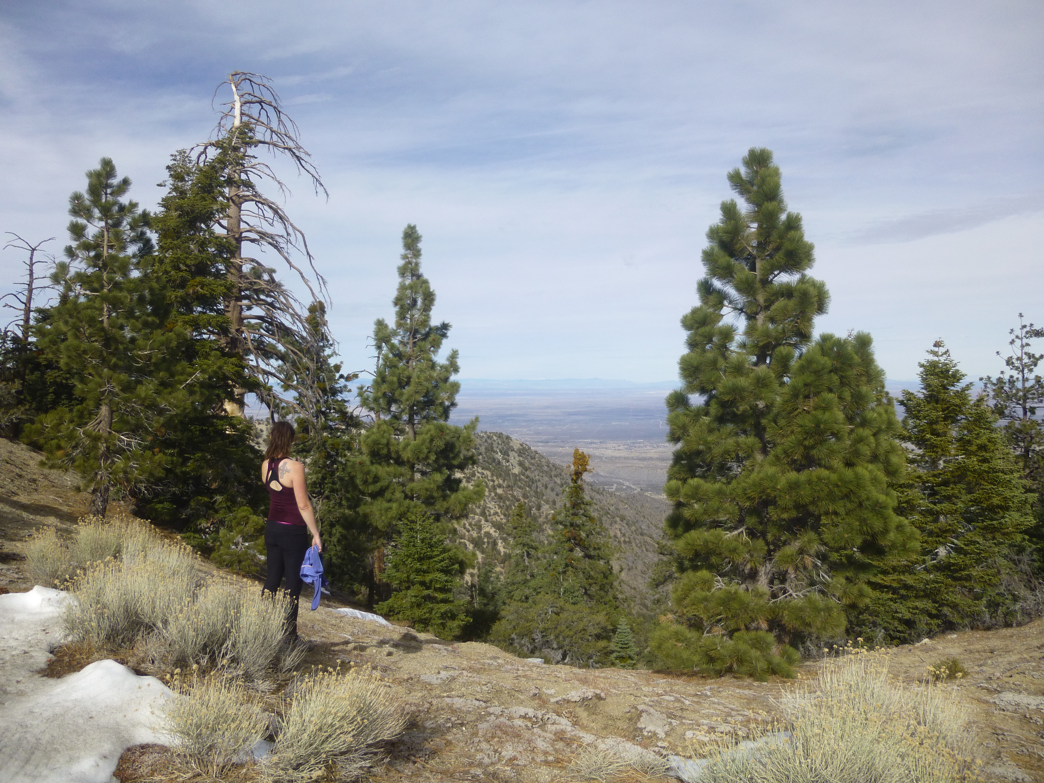
Then from the saddle the high desert finally came into view.

Image

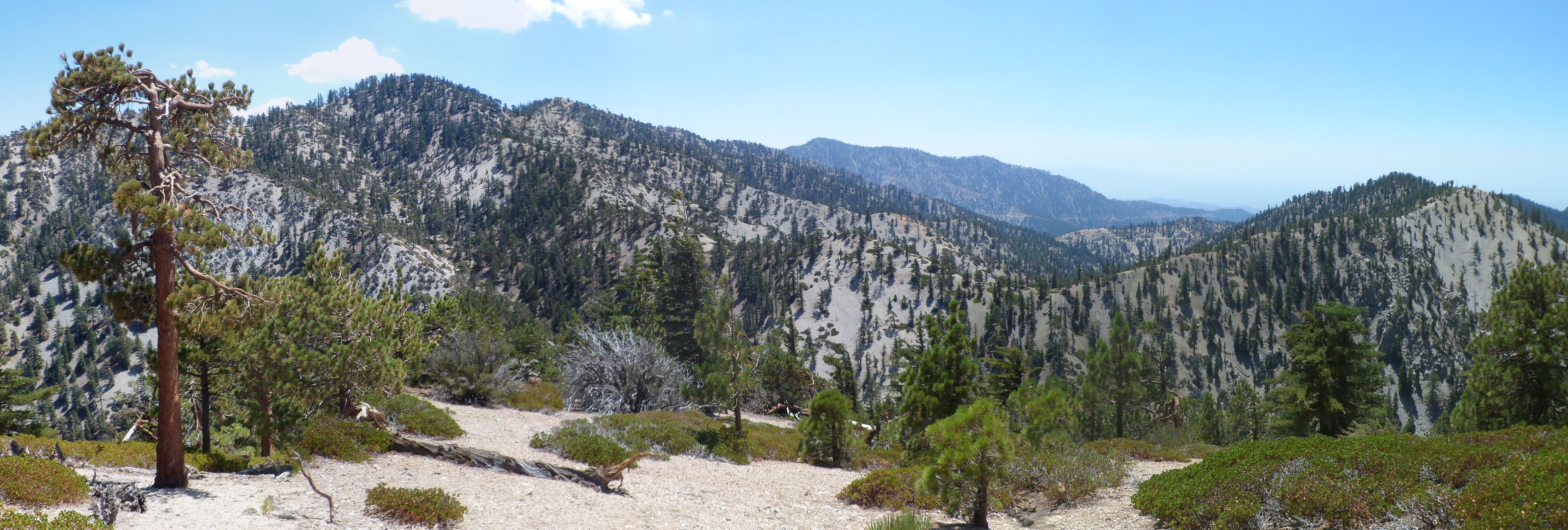
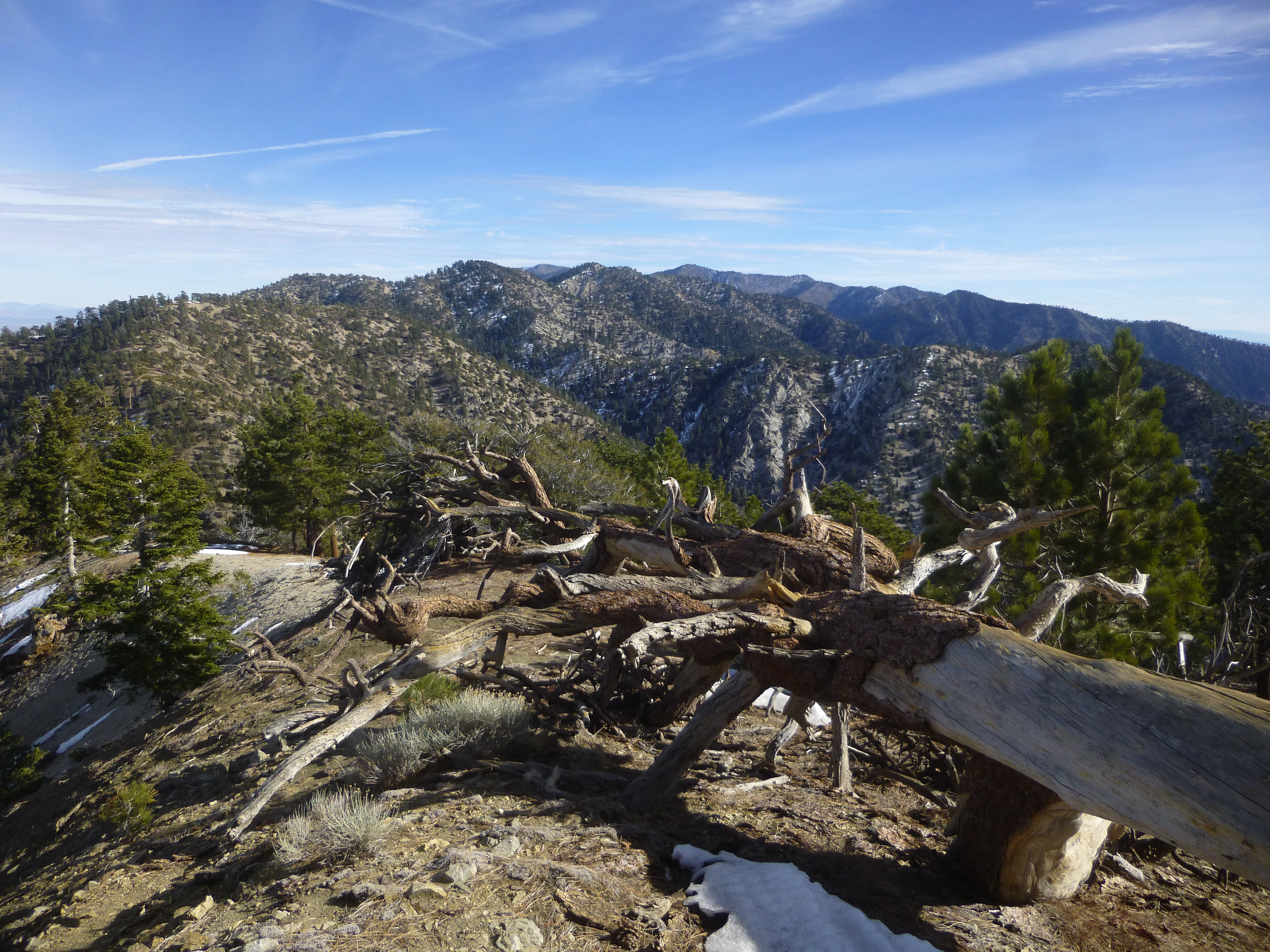
The summit trail seemed steeper than I remembered from the first time I did it over a year ago. But Thrall rewarded us with some additional views from the top.

Image

Image

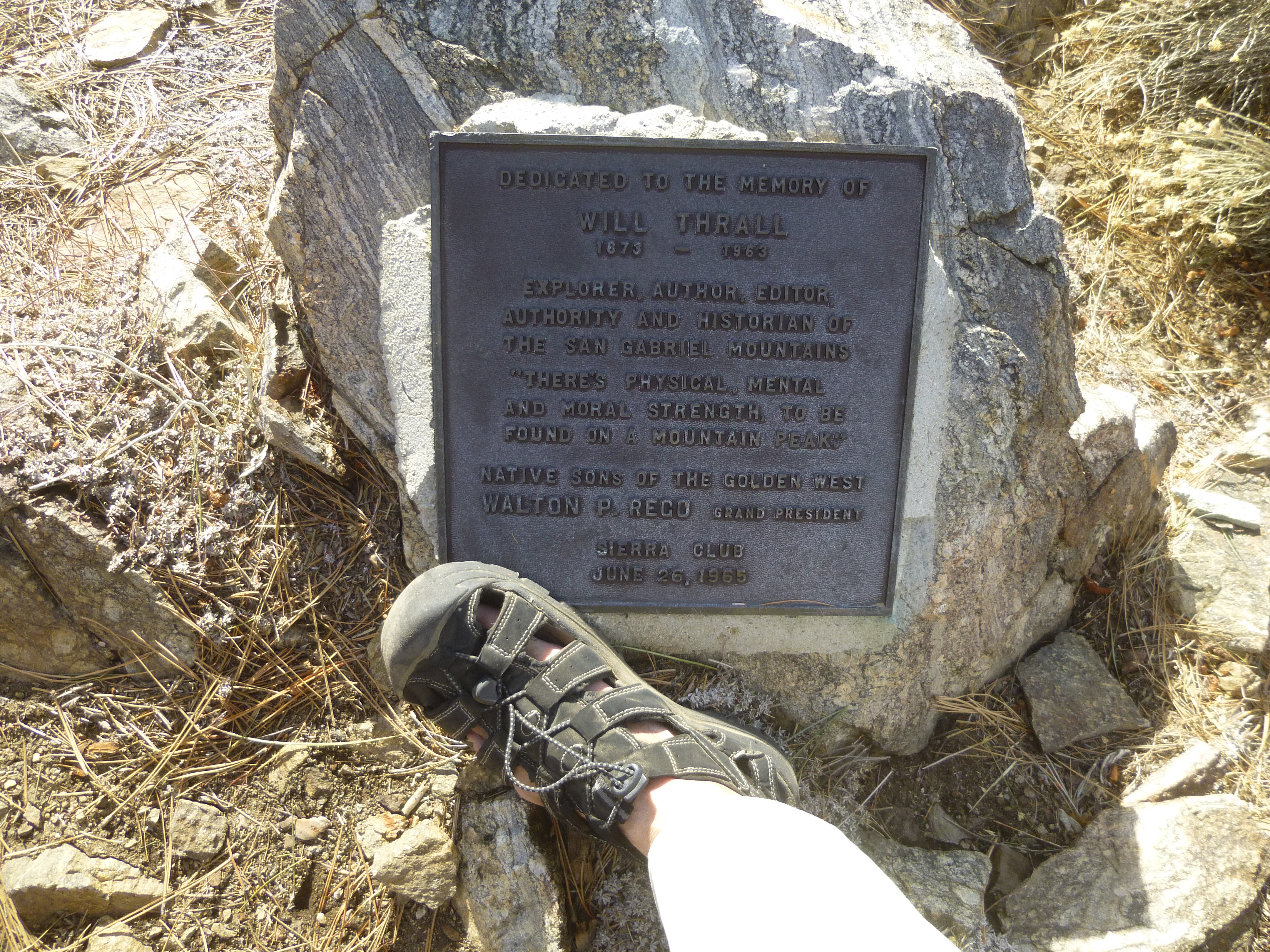
A plaque memorialized the man of the mountain.

Image

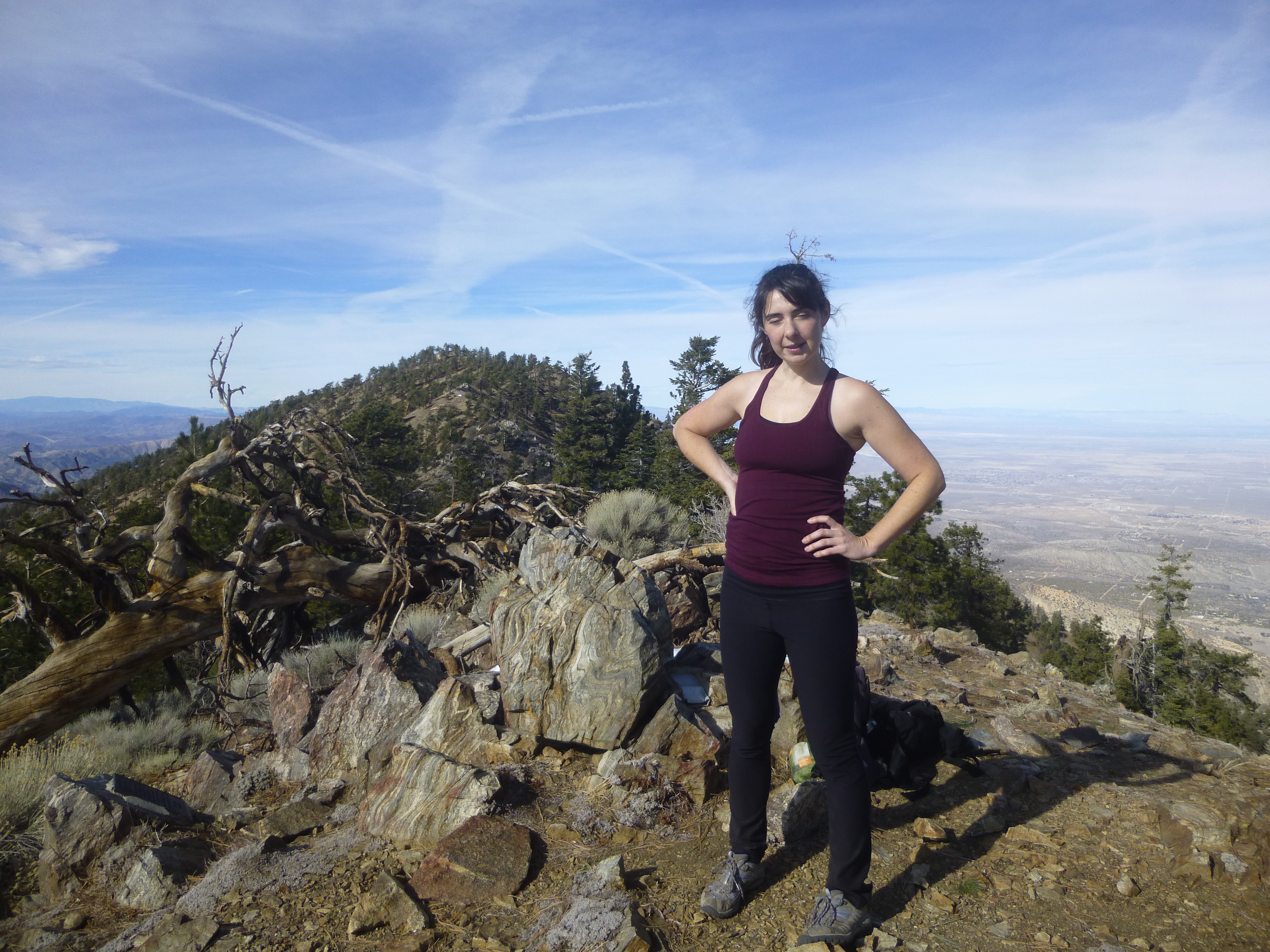
It was such a pleasant day that we spent a full hour on the summit, resting and having some lunch. We made it back to the car around sunset, not having seen anyone else the entire day.
User avatar
JeffH
Posts: 1169
Joined: Sun Nov 28, 2010 7:09 am

Post by JeffH »

I like the footwear. And the views. Plus it looks like you did manage to charm a young lady...
"Argue for your limitations and sure enough they're yours".
Donald Shimoda
User avatar
Uncle Rico
Posts: 1402
Joined: Thu Mar 20, 2008 7:48 pm

Post by Uncle Rico »

Nice Sean. Looks awesome. I've been wanting to get out to Will Thrall for some time now.

Out of curiosity, have you (or anybody else on this forum) made the trip from Mt. Williamson along Pleasant View Ridge to Pallet Mountain, then down to Burkhart Saddle and out to Buckhorn (or visa versa)? Is that feasible? I know Elwood has been all over that ridge, but I couldn't find a report covering the piece from Williamson to Burkhart.
User avatar
tekewin
Posts: 1195
Joined: Thu Apr 11, 2013 5:07 pm

Post by tekewin »

Nice report. I love the frozen waterfall. Aces!

Cool rocks in the third photo. I need to check a map, not familiar with this part of the Gabes.
User avatar
Sean
Cucamonga
Posts: 3785
Joined: Wed Jul 27, 2011 12:32 pm

Post by Sean »

Uncle Rico wrote: Out of curiosity, have you (or anybody else on this forum) made the trip from Mt. Williamson along Pleasant View Ridge to Pallet Mountain, then down to Burkhart Saddle and out to Buckhorn (or visa versa)? Is that feasible?
I tried to do Williamson to Pallett last year (using only a Harrison map) and botched the navigation at Peak 8160+. I took the wrong ridge. This CalTopo map shows my mistake in red and what I think is the proper route in green. The blue line is a GPS track of a successful trip from Buckhorn to Pallett and Will Thrall.

This picture, taken from/near Goodykoontz, might prove useful.

Image

This is a picture of the wrong ridge I took from 8160. Goodykoontz is in the background.

Image

This picture shows Pallett and Thrall from/near 8160, as I was about to take the wrong ridge, not knowing then what I think I know now.

Image

And this shows 8160 and Goodykoontz from the south end of Pallett.

Image
User avatar
Uncle Rico
Posts: 1402
Joined: Thu Mar 20, 2008 7:48 pm

Post by Uncle Rico »

Good stuff Sean. Very useful. Your green route is essentially what I was thinking about. From your pics it looks entirely manageable.
User avatar
Ze Hiker
Posts: 1430
Joined: Mon Jul 28, 2008 7:14 pm

Post by Ze Hiker »

Uncle Rico wrote: Nice Sean. Looks awesome. I've been wanting to get out to Will Thrall for some time now.

Out of curiosity, have you (or anybody else on this forum) made the trip from Mt. Williamson along Pleasant View Ridge to Pallet Mountain, then down to Burkhart Saddle and out to Buckhorn (or visa versa)? Is that feasible? I know Elwood has been all over that ridge, but I couldn't find a report covering the piece from Williamson to Burkhart.
did PVR from Williamson to Thrall years ago, got in a fight with a ranger

http://socalhikes.com/2008/11/mt-willia ... iew-ridge/
User avatar
Uncle Rico
Posts: 1402
Joined: Thu Mar 20, 2008 7:48 pm

Post by Uncle Rico »

Thanks for the link Ze. Very helpful.
User avatar
Hikin_Jim
Posts: 4686
Joined: Thu Sep 27, 2007 9:04 pm

Post by Hikin_Jim »

Going up Williamson and then across to Pallett and then descending to Burkhart saddle is one of the nicest XC trips in the range. Not much brush and none of the terrain is overly steep.

There is a bit of a rub in the form of the frog closure. Whereas one used to be able to leave the Burkhart Trail and ascend the PCT to Eagle's Roost in order to get back to one's car, now one has to go via Buckhorn, which adds at least two miles, possibly three. :(

HJ
Post Reply