---
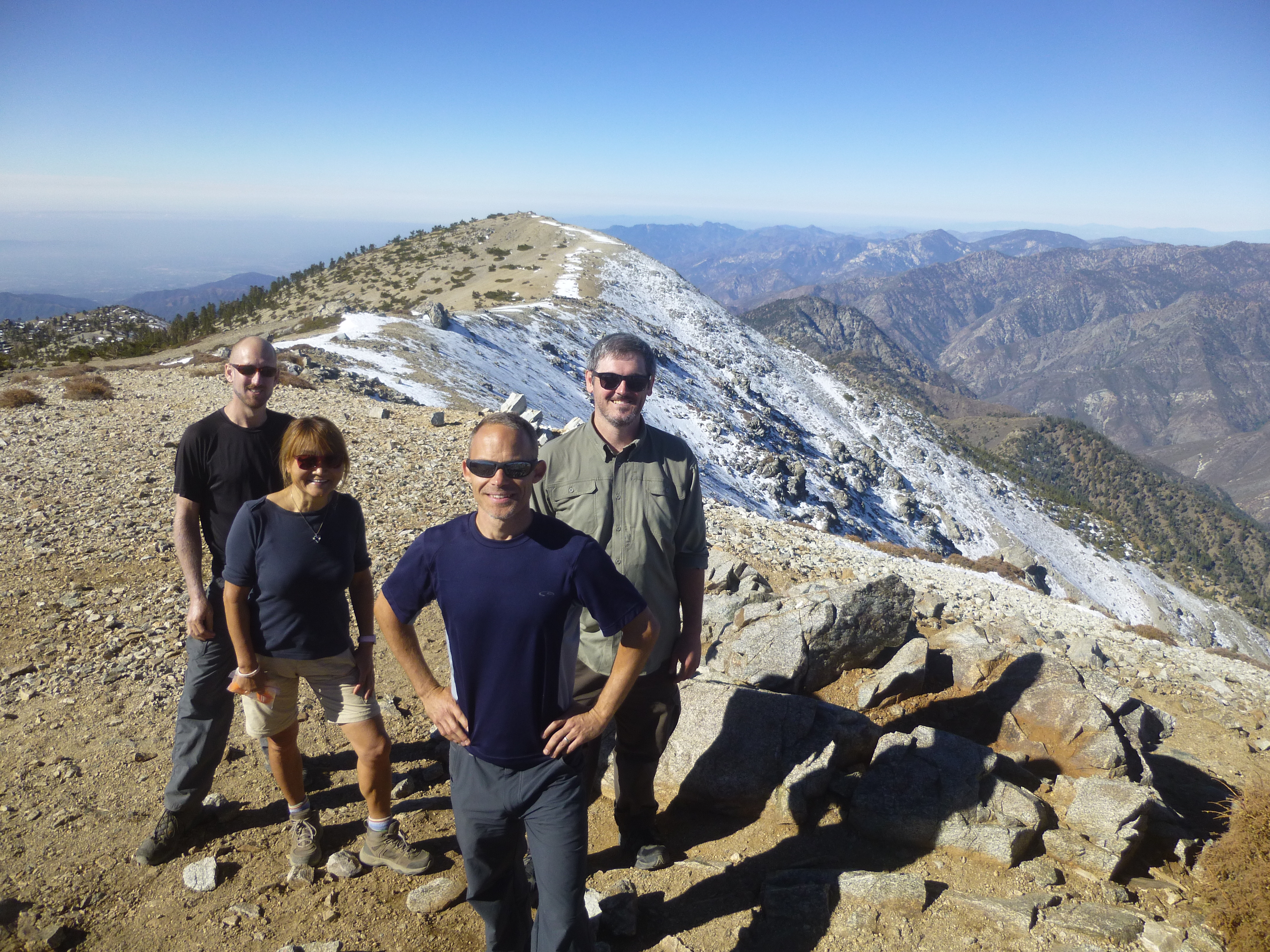
Our Sunday epic started at 6am by leaving a couple cars at the East Fork and driving the Glendora Mountain Road to Baldy, where we parked at Manker Flats and prepared for a very long day. Later we would discover that some of us didn't prepare as well as we had thought. For example, I forgot my flashlight, which was left sitting in the passenger seat of my car. Doh!
Reaching the Ski Hut took a little over an hour. We stocked up on water and made the Baldy summit by 10:30am.
After some food and a traverse of West Baldy, it was time for the majestic San Antonio Ridge.
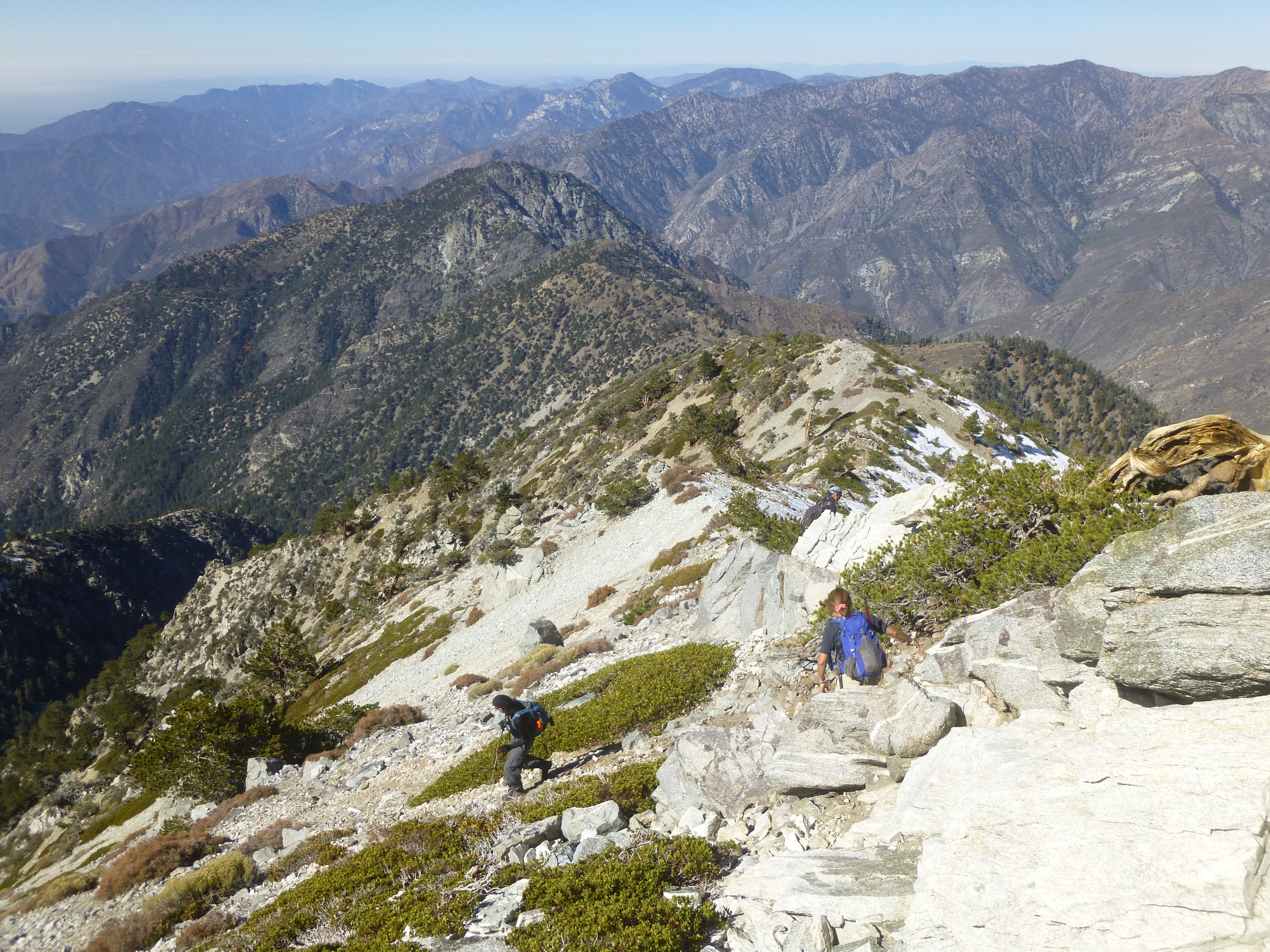
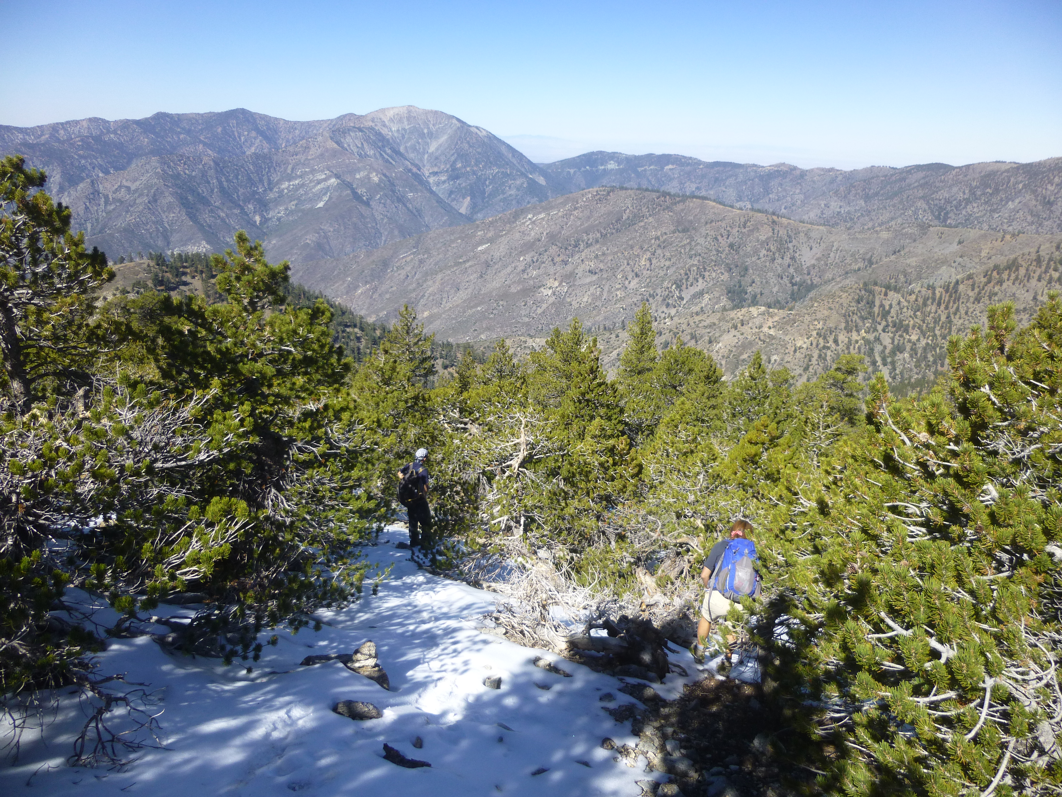
Some snow and ice covered large sections of the use trail. At times we wished for microspikes, though none appeared.
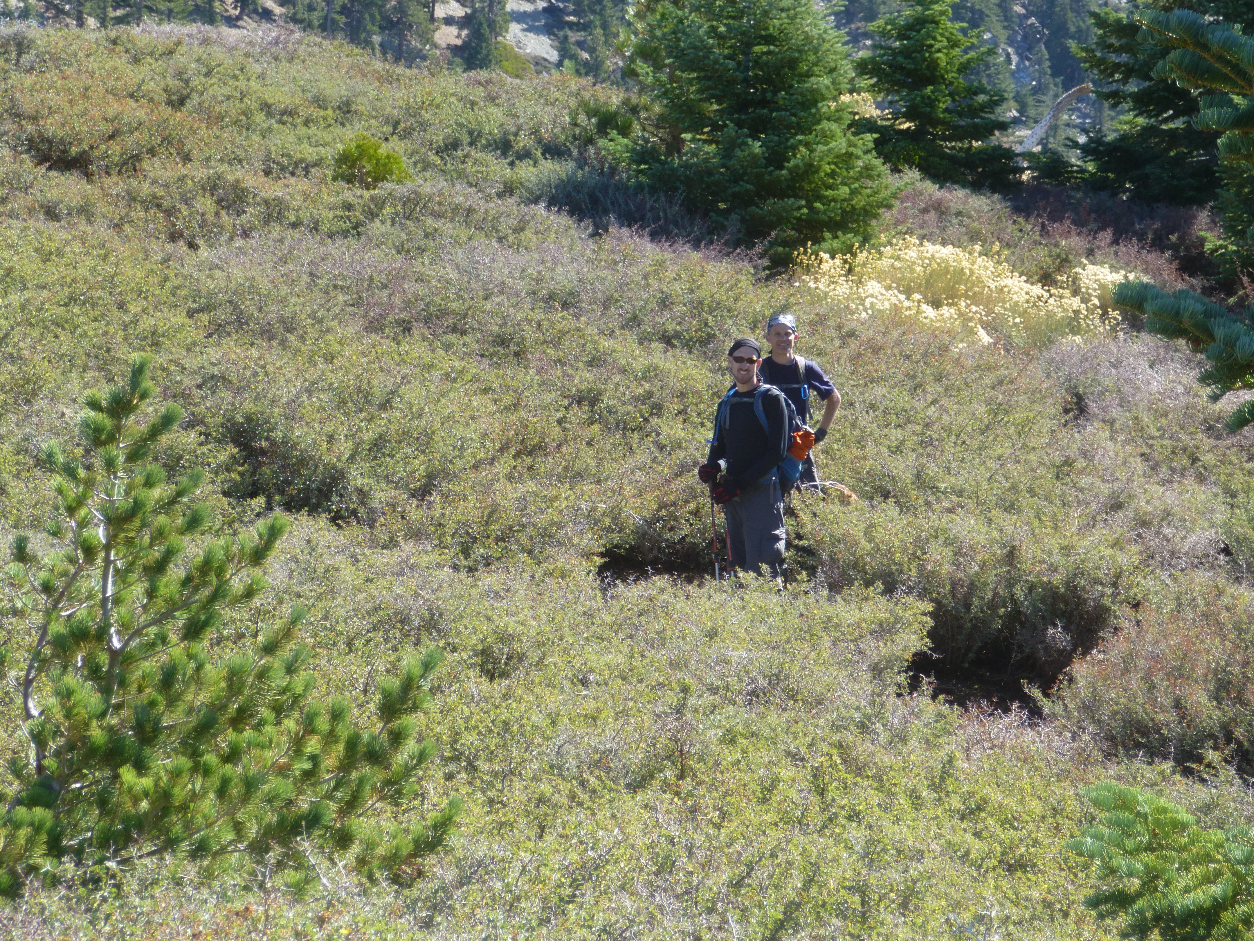
After a long, steep drop over scree and big boulders, we plummeted some more down a forested slope. Then came the flattish, rolling part with lots of thorns. Two of us found trails around the worst of the thorns. But the other two seemed to enjoy the abuse.
Peak 7758 looked like a good place to stop for a meal.
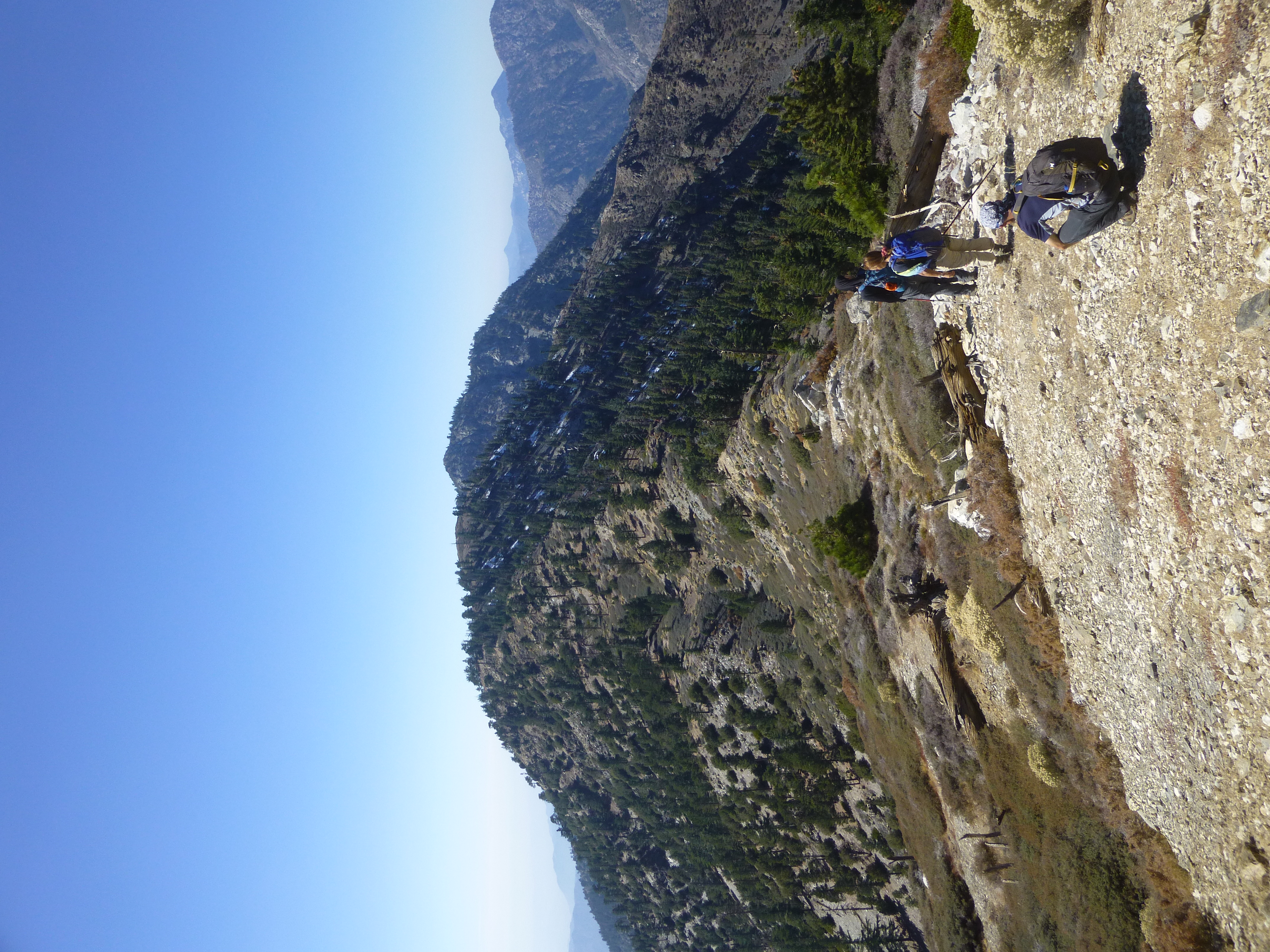
I showed everyone how to eat spaghetti with your hands, then we descended to Gunsight Notch.
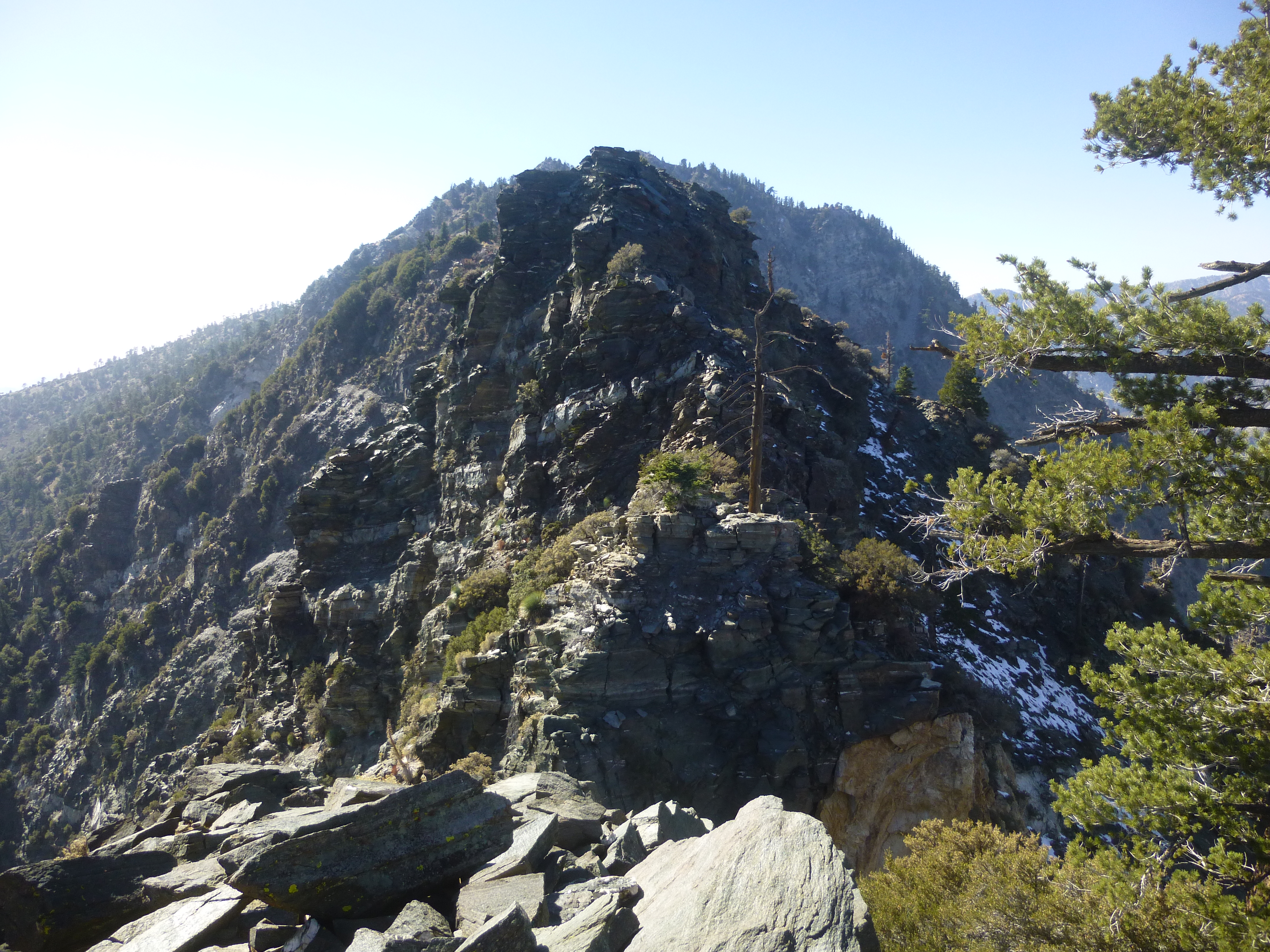
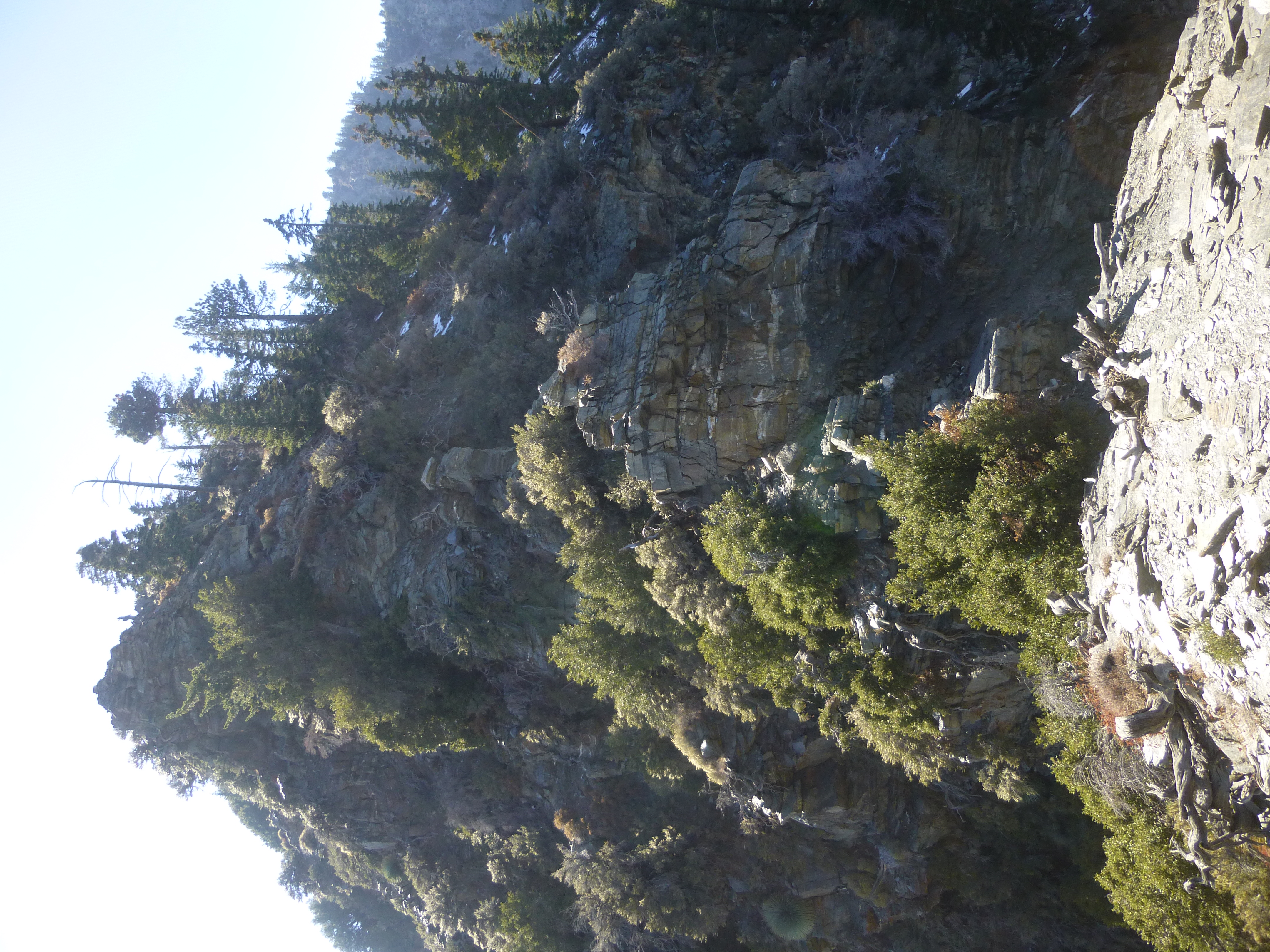
If you've ever watched a cartoon where the character's eyeballs pop out of their sockets, then you can imagine our reaction to Gunsight Notch. We searched for the fabled gully bypass, but could not see anything other than Mr. Death grinning wickedly on either side of the terrifyingly exposed cliffs.
Eventually I concluded that the safest route was simply straight up the spine of the ridge. This, however, would require class 3/3+ climbing with death-defying exposure on either side. It was too much for two of our party, and they turned back to Baldy rather than risk life and limb.
Which left two crazy people to tackle the Notch.
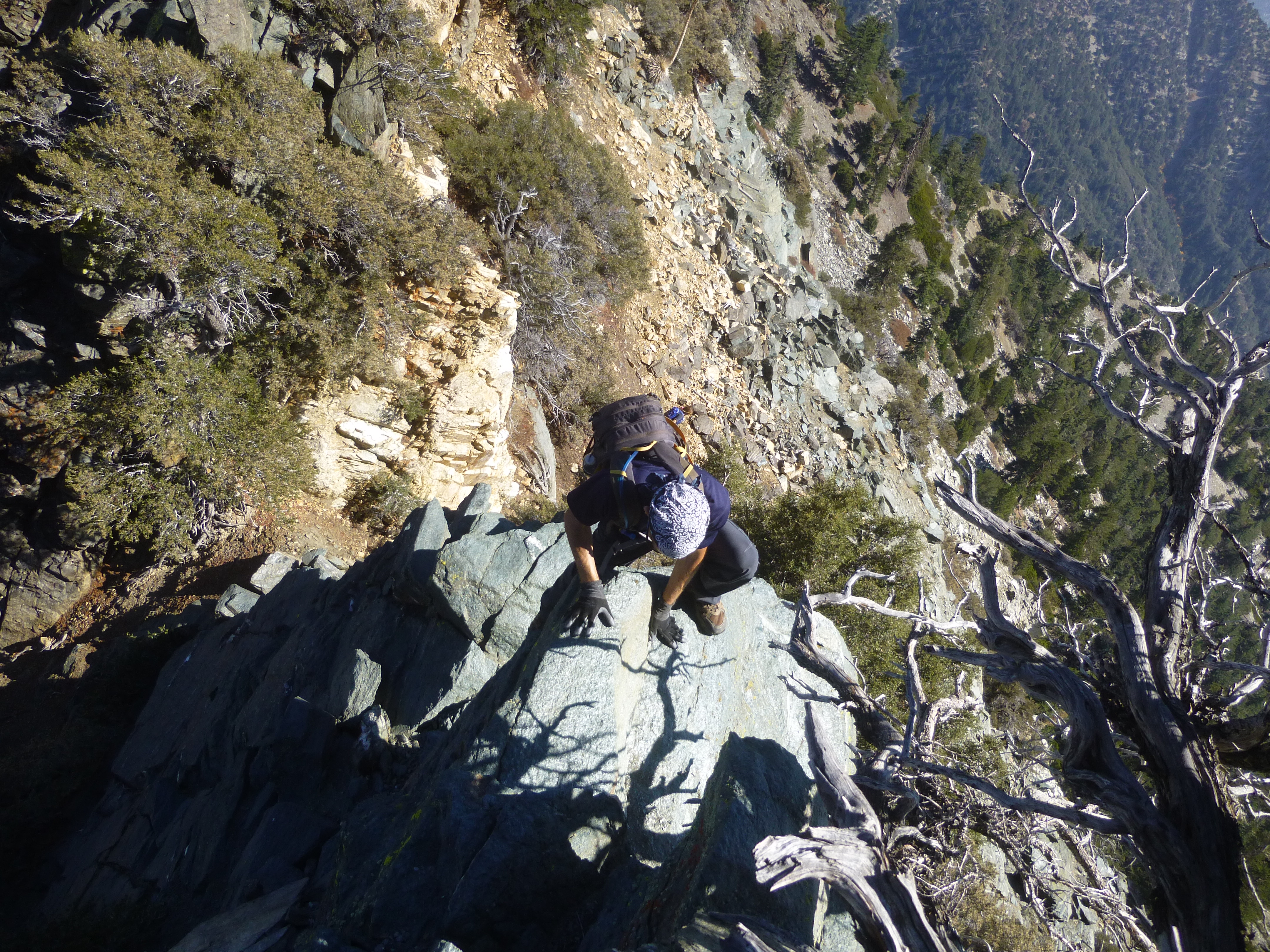
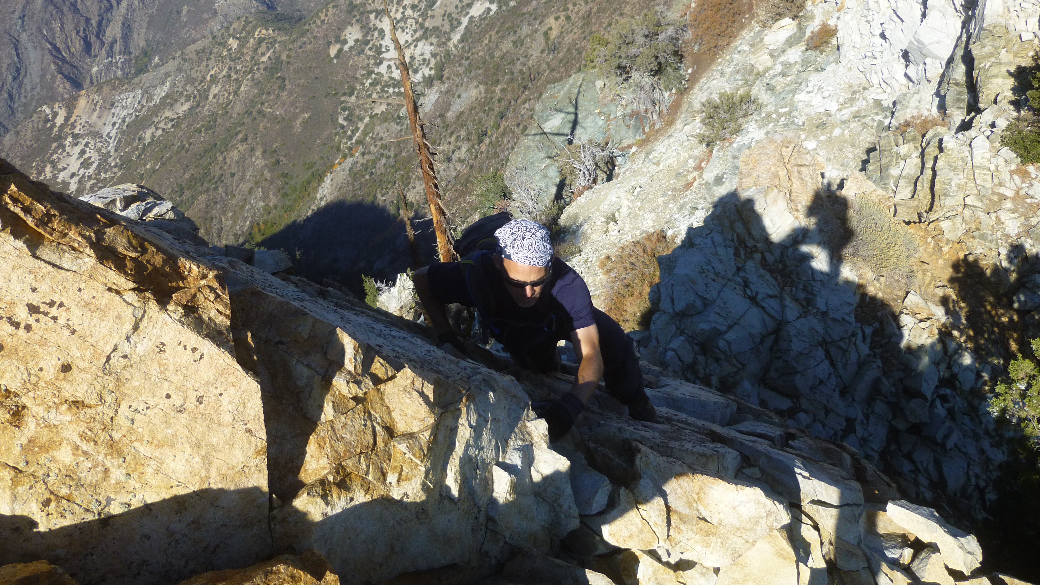
We survived the initial hair-raising part, climbing vertical or near-vertical faces with good holds. Subsequent sections proved easier but were still a little frightening.
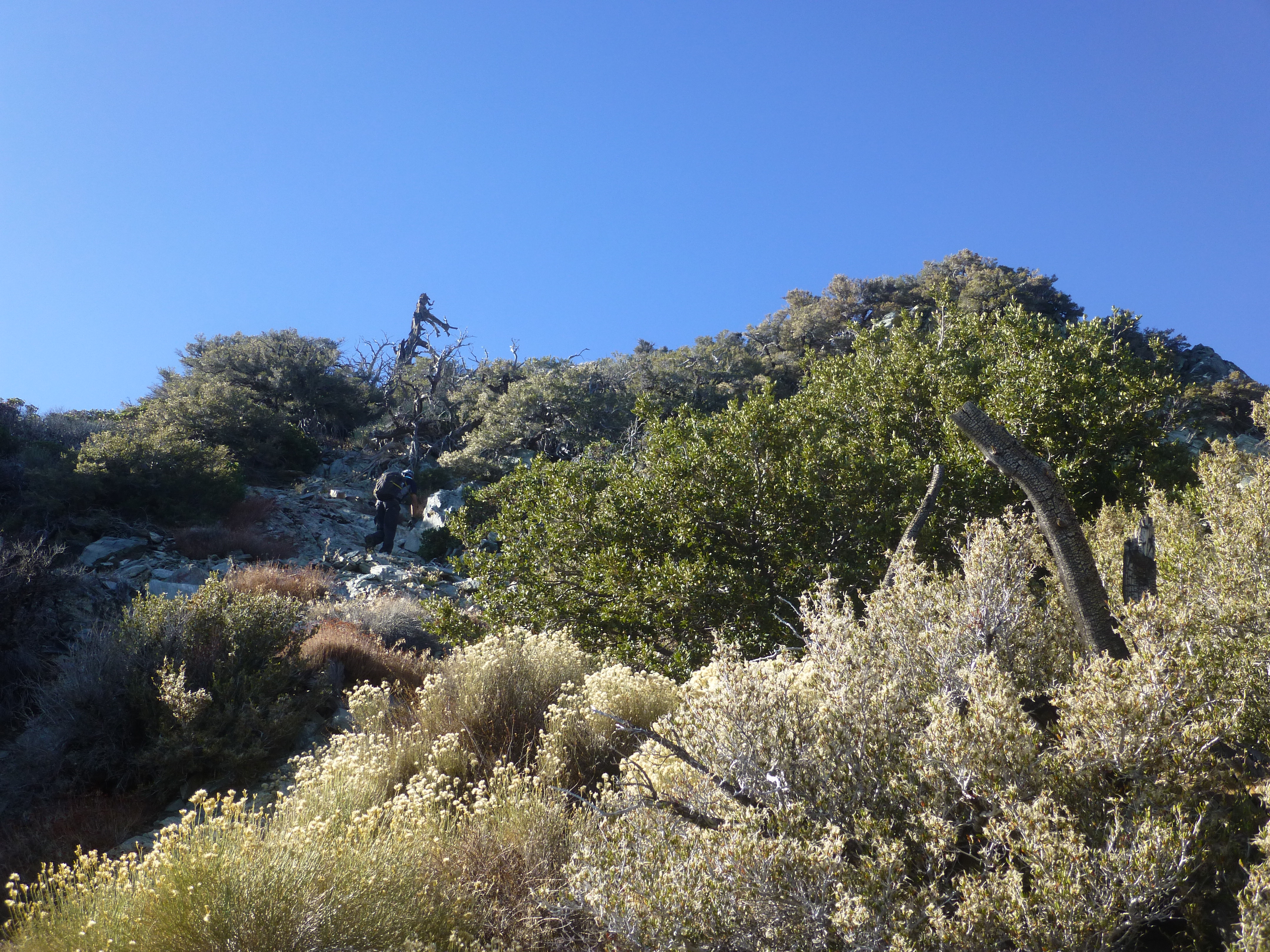
After the Notch the ridge rewarded us with a relatively easy use trail ascending the remaining elevation to Iron. Still I had to pause several times to catch my breath after expending so much effort.
By 4pm we stood upon the summit and signed the register.
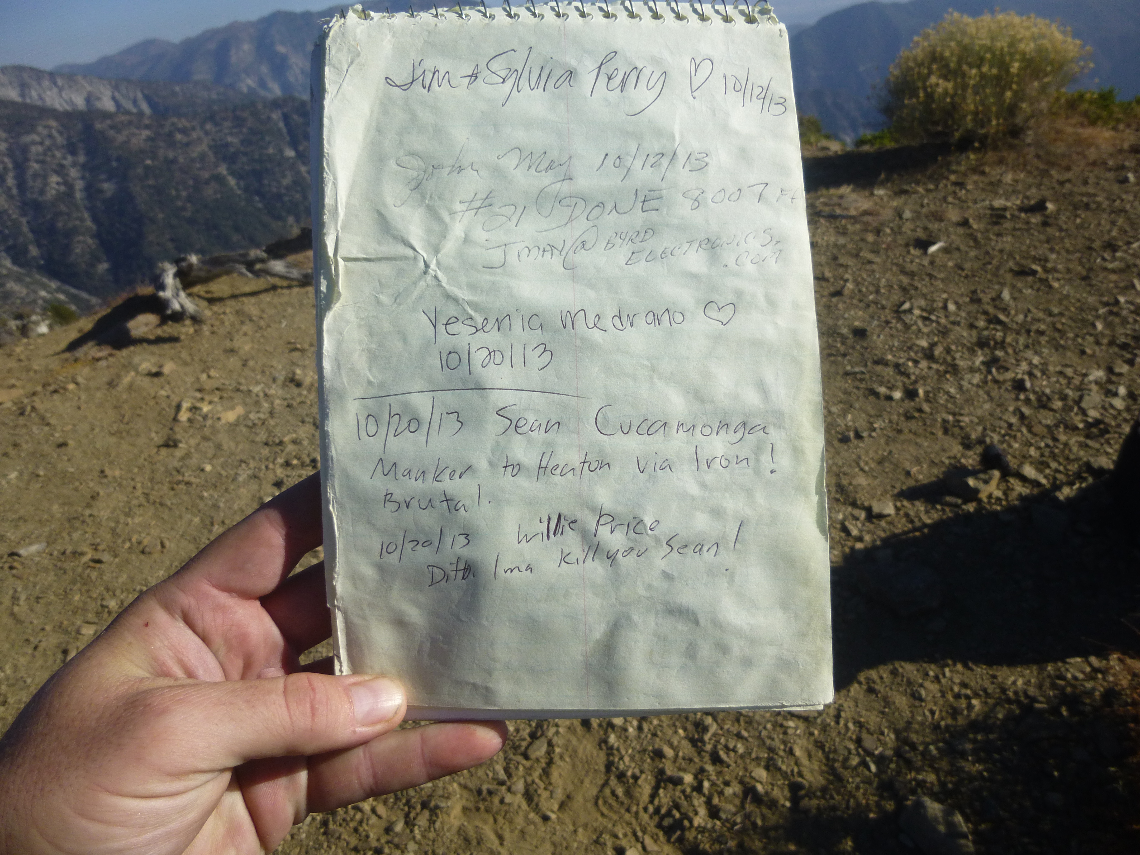
Including us, only three people had visited Iron that day.