Life in the Big Tujunga

TRs for the San Gabriel Mountains.
Post Reply
User avatar
Sean
Cucamonga
Posts: 3787
Joined: Wed Jul 27, 2011 12:32 pm

Post by Sean »

There's a turnout on the Angeles Crest Highway at mile marker 30.02, about six miles above La Canada. And at this turnout a trailhead awaits visitors.

Image

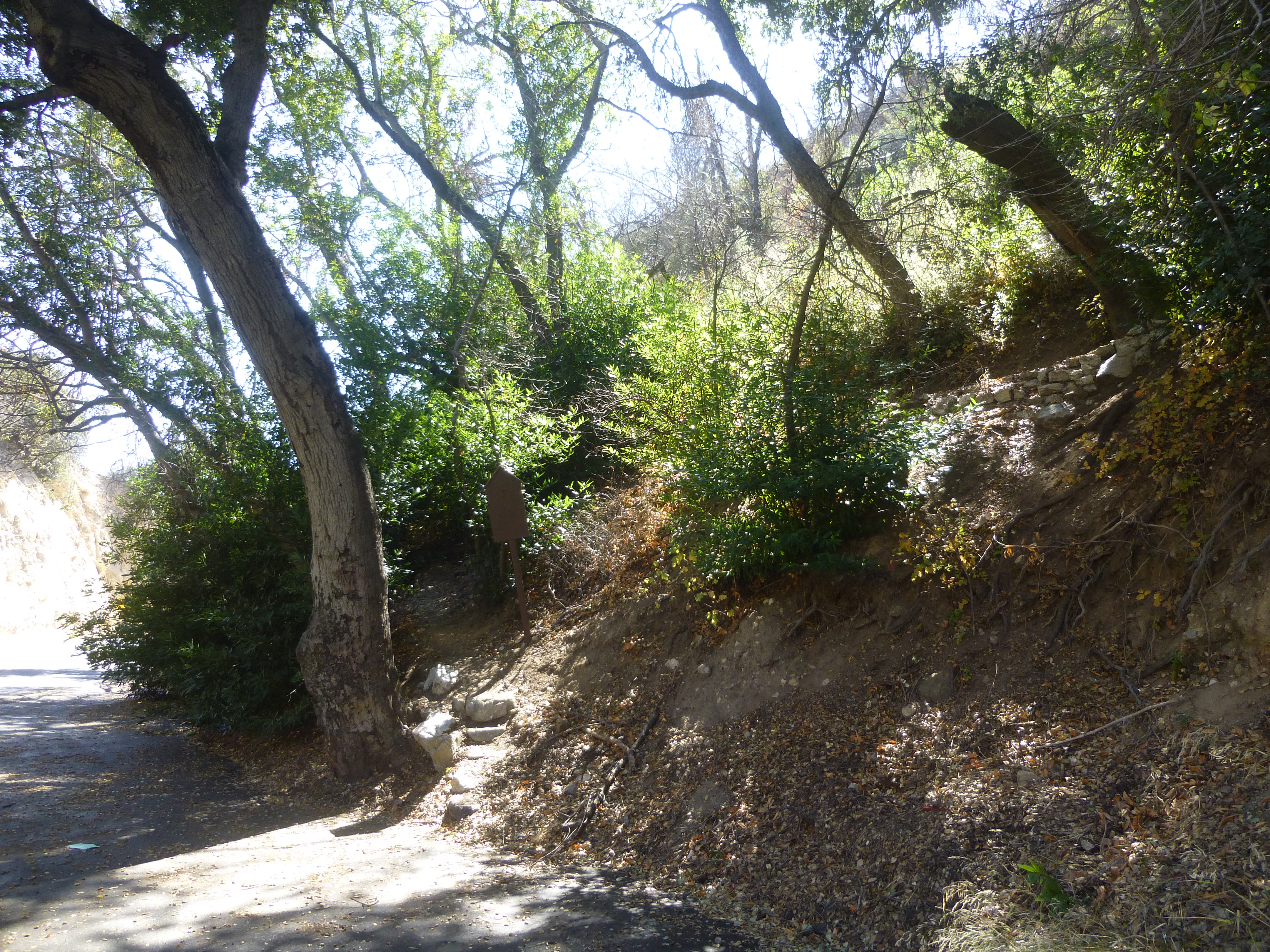
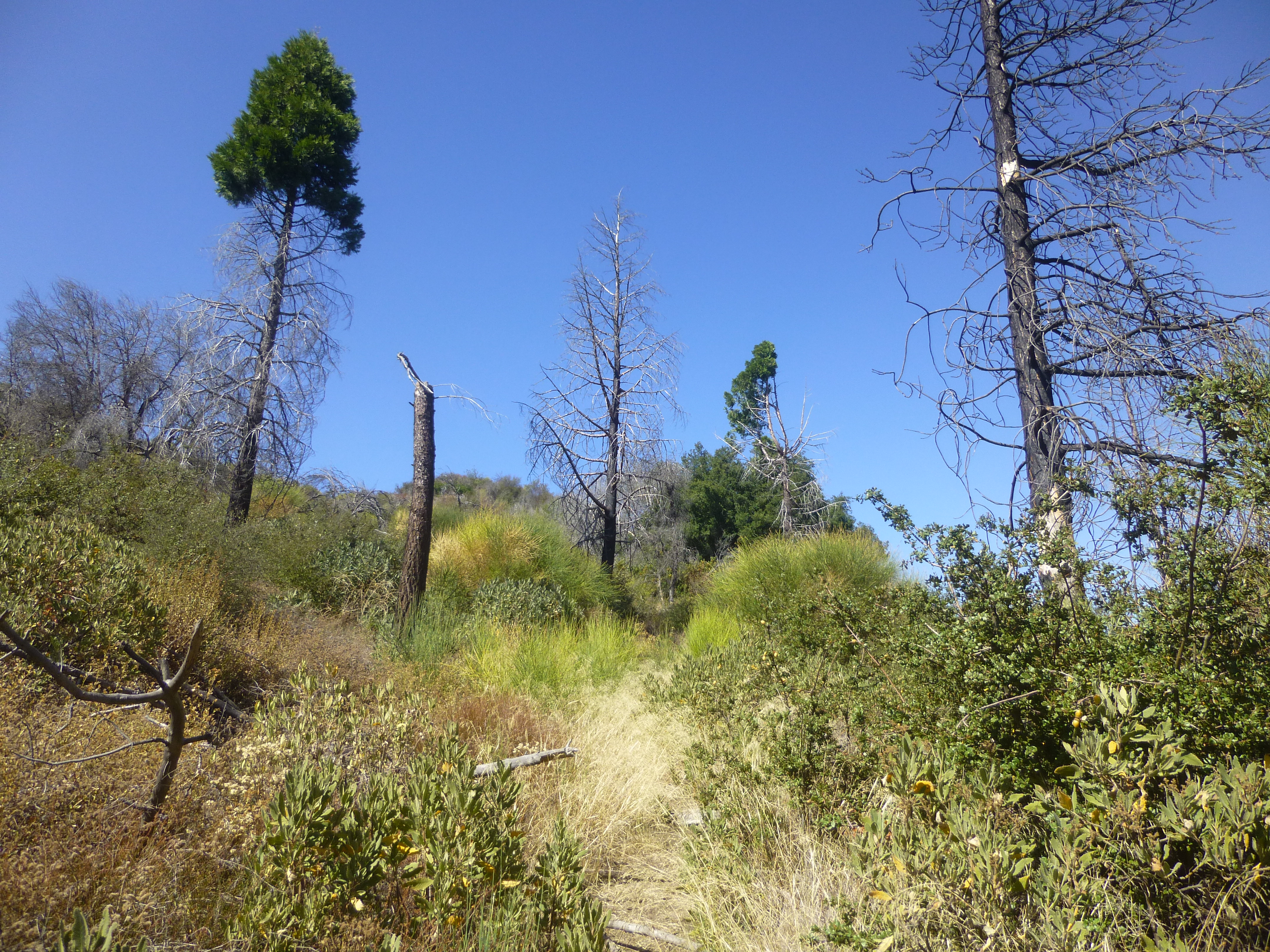
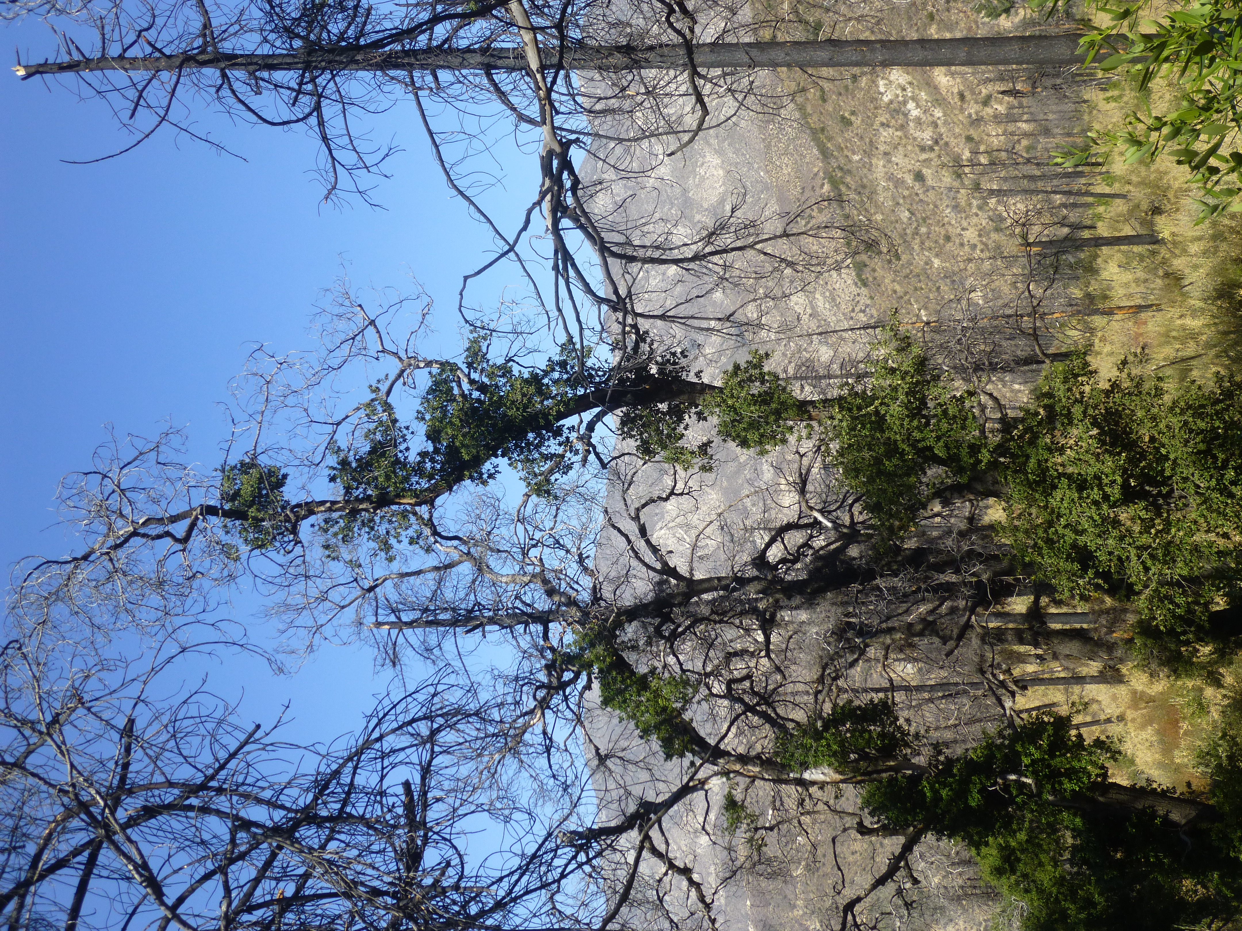
The sign is blank, but according to Trails of the Angeles, this is the upper portion of the Dark Canyon Trail. The path has been cleared of nasty stuff and passes through a grove of burned pine trees that are slowly recovering from the Station Fire.

Image

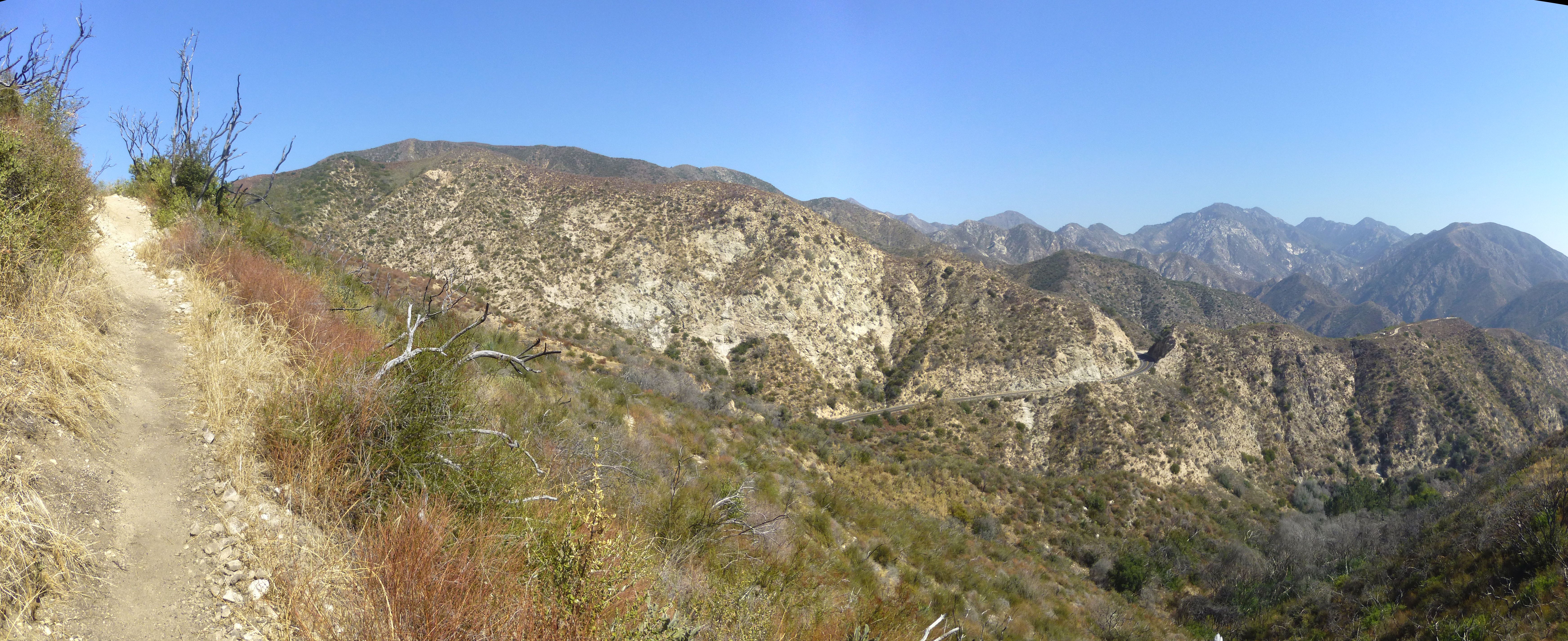
The half-mile climb is stiff but view-filled. Somewhere to the right, a thousand feet higher, Hoyt Mountain rises above the highway.

Image

The singletrack ends at a saddle junction with 2N80 and 2N80A.

Image

2N80 goes left or right. Left is Mt. Lukens. Right is Hoyt. Straight ahead is 2N80A, leading down to Grizzly Flat and into Big Tujunga Canyon.

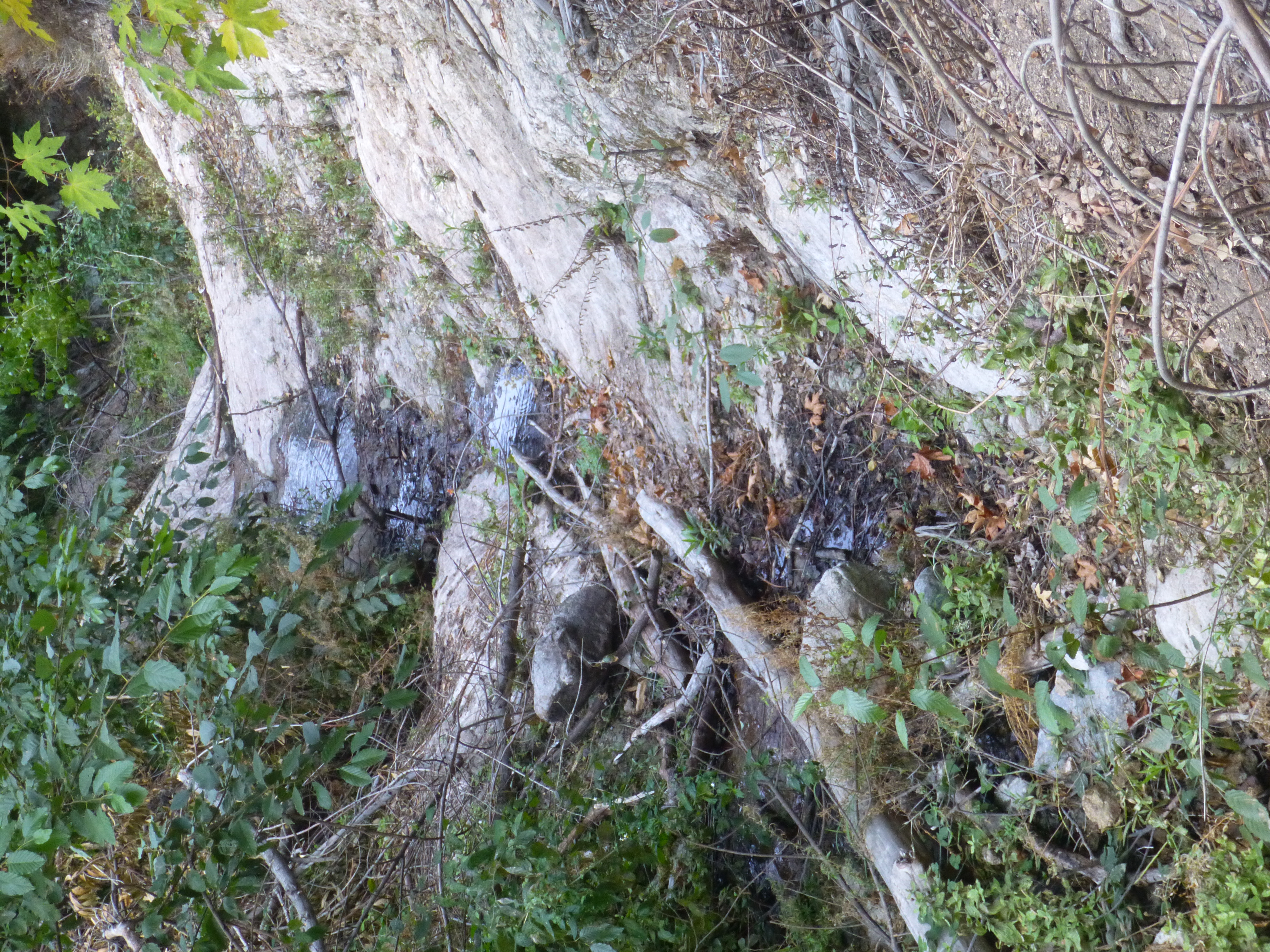
The scenery on 2N80A consists mostly of high brush on either side. Occasionally a view across the great canyon opens up.

Image

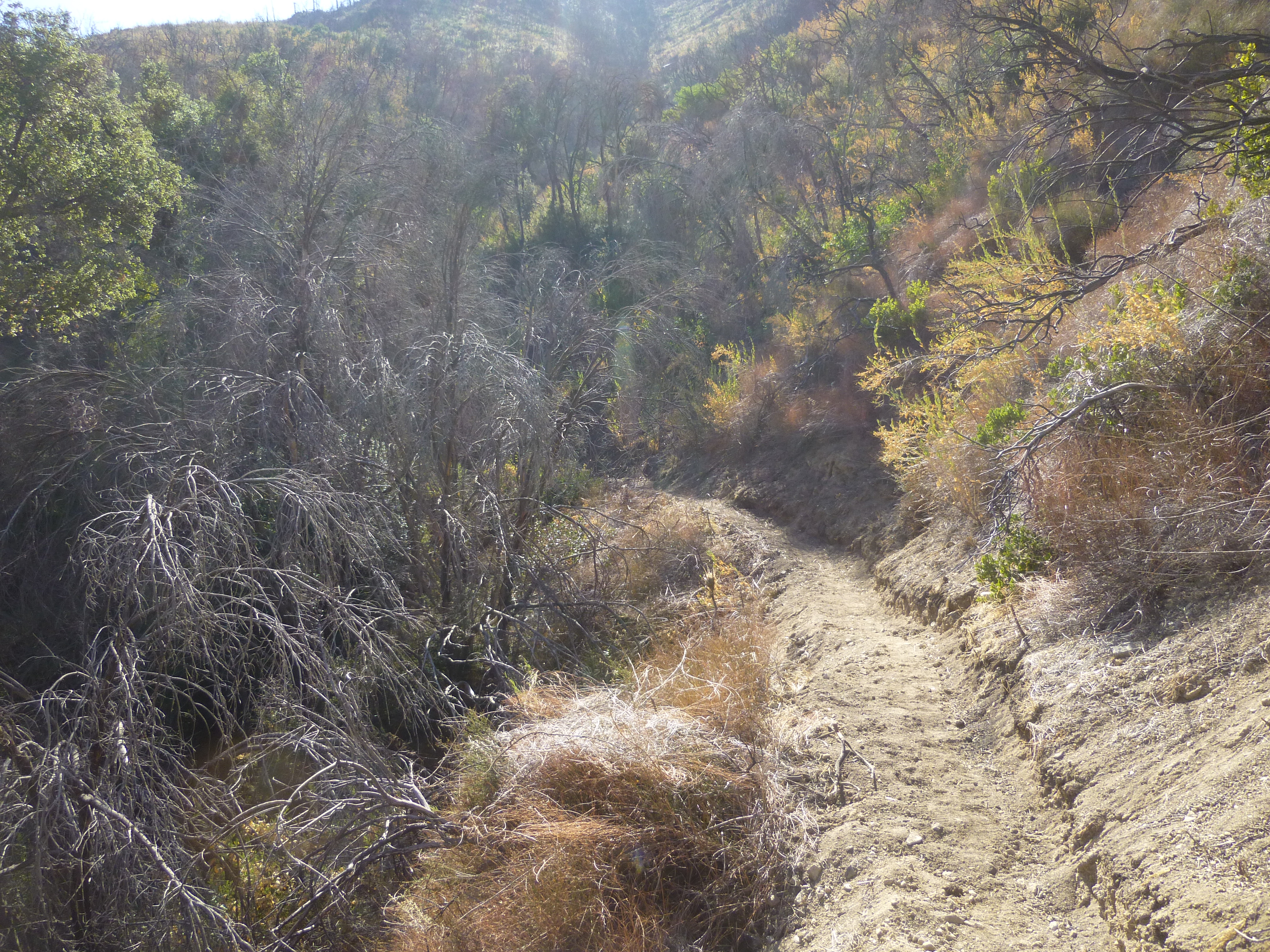
The cleared fire road descends gradually to the unappealing Grizzly Flat turnoff.

Image

Then the road ends and transitions into the Grizzly Flat singletrack, initially passing through a pleasant side canyon with tall trees and a small stream.

Image

Image

Image

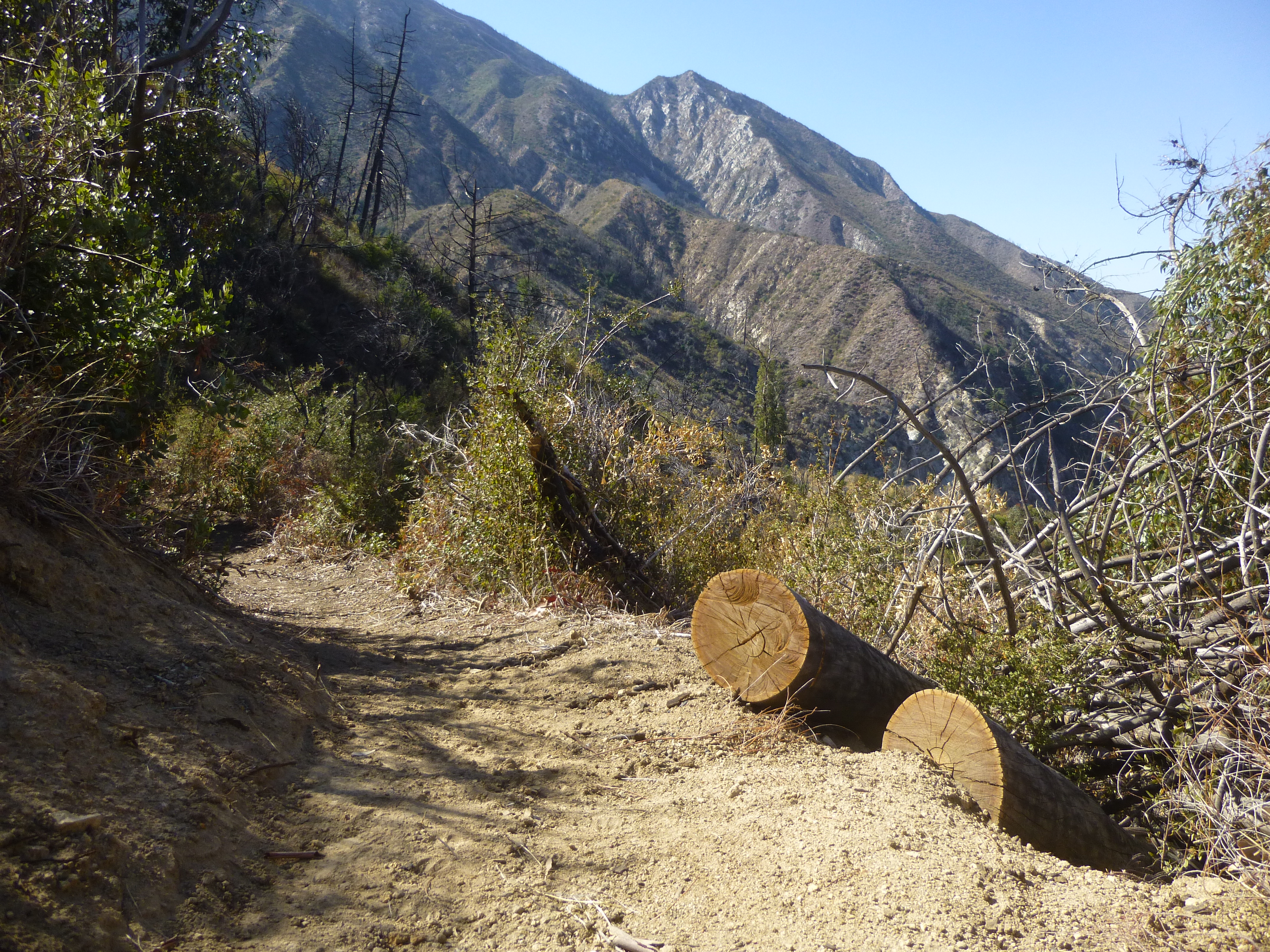
The trail shows signs of very recent work.

Image

Image

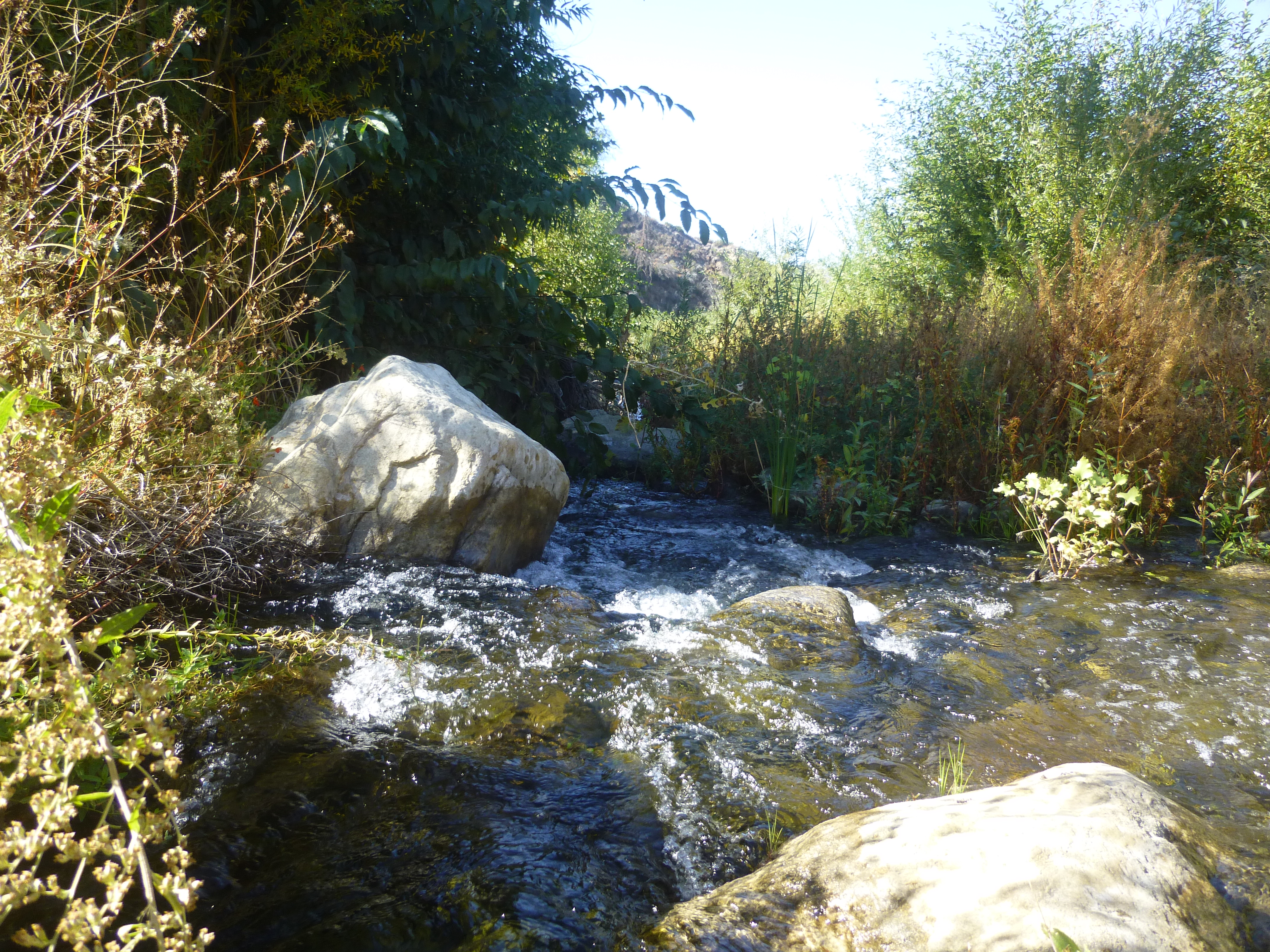
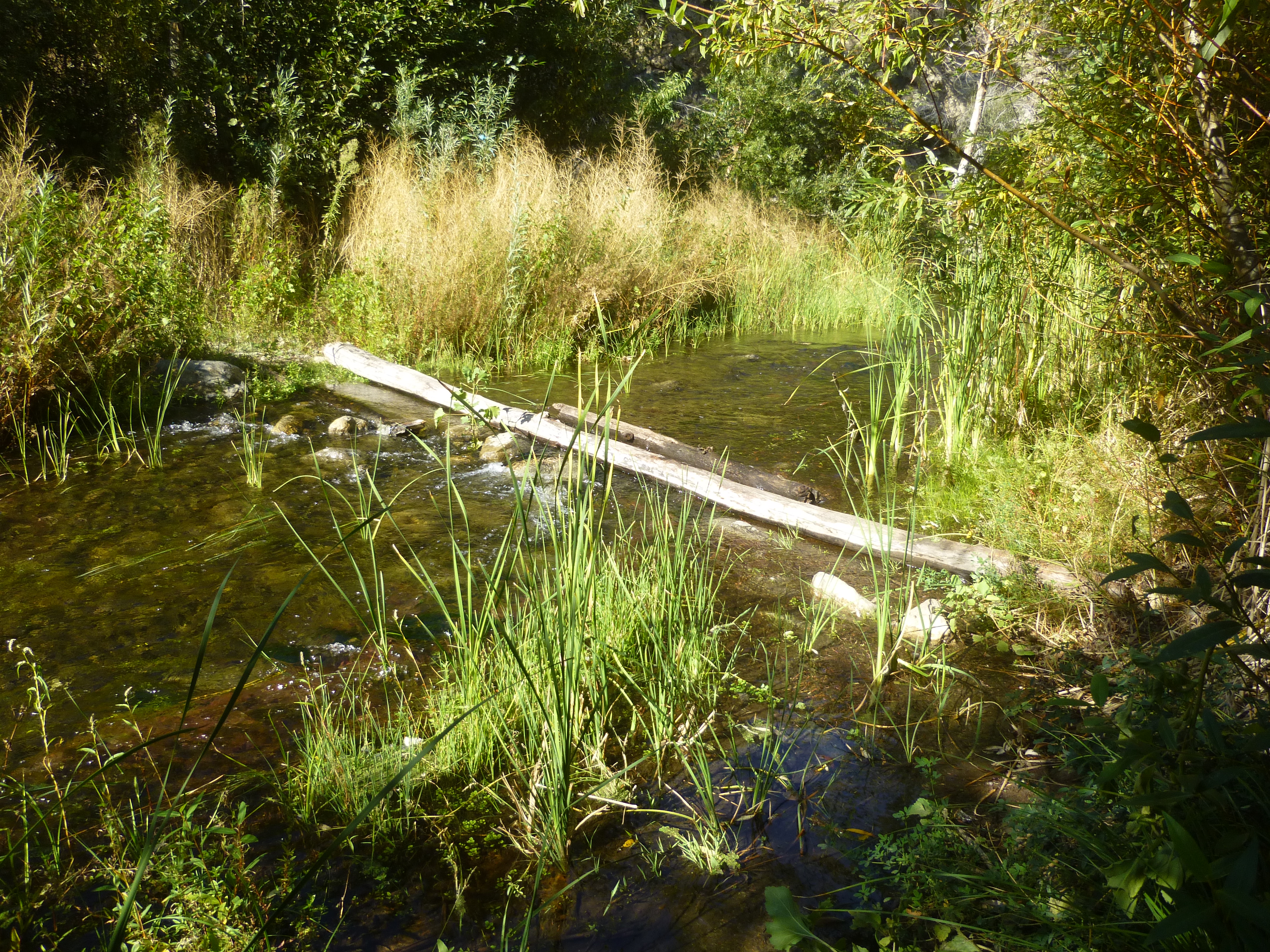
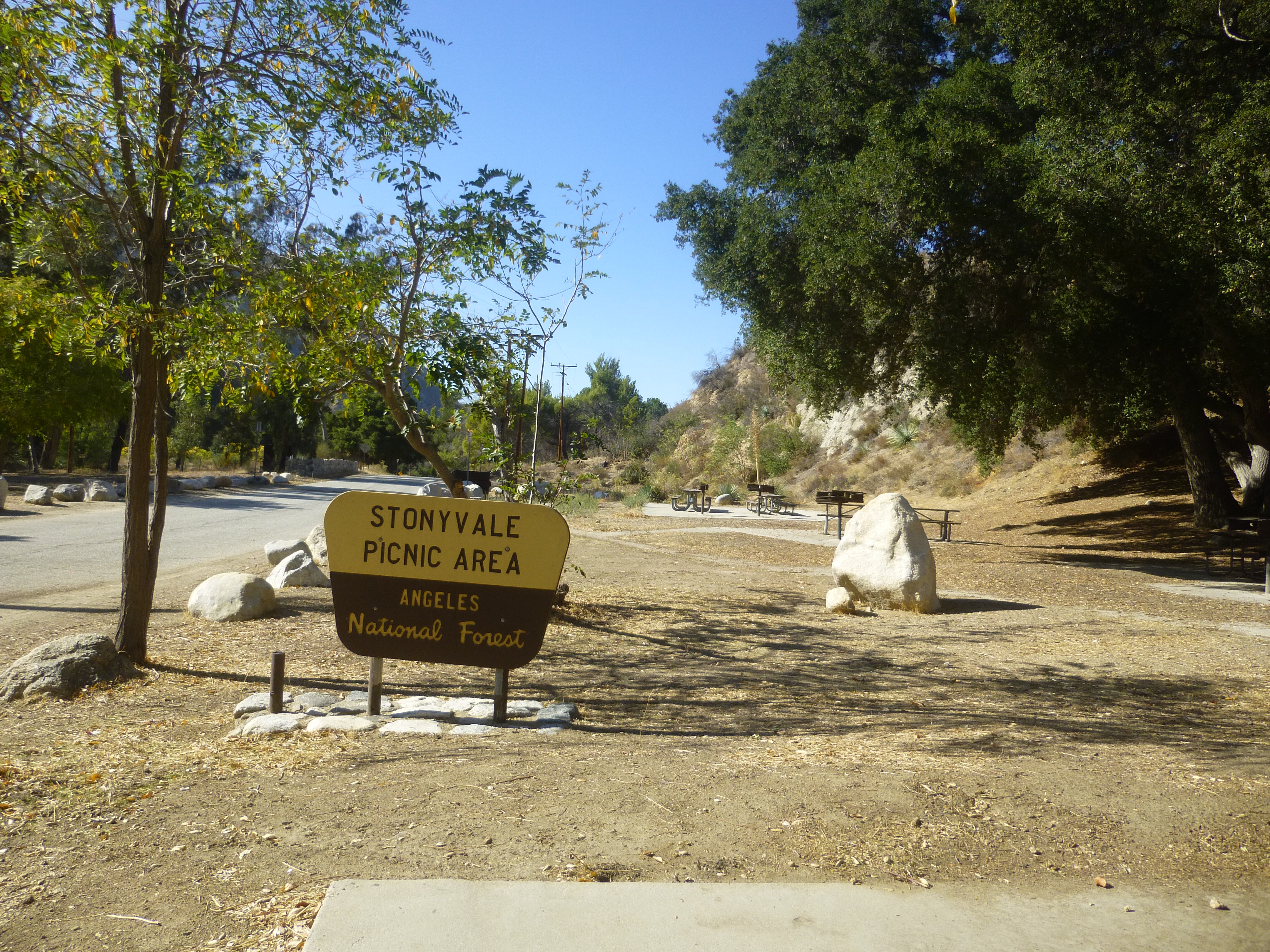
After a steep, rocky decline, the trail bottoms out in the broad Big Tujunga wash. Sometimes sandy, sometimes wet, the trek down to Stonyvale Picnic Area requires several creek crossings.

Image

Image

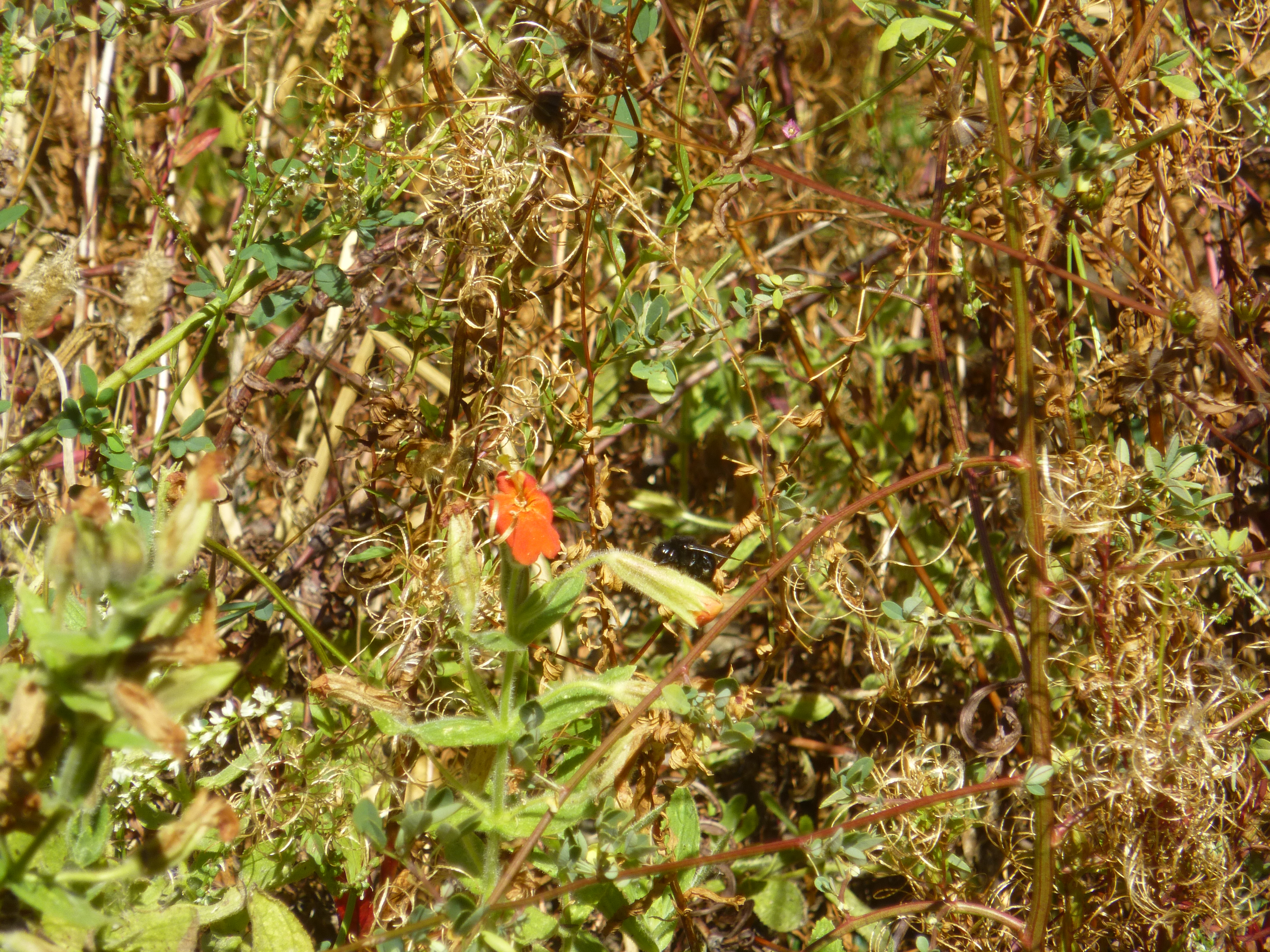
Bumble bees abound creekside.

Image

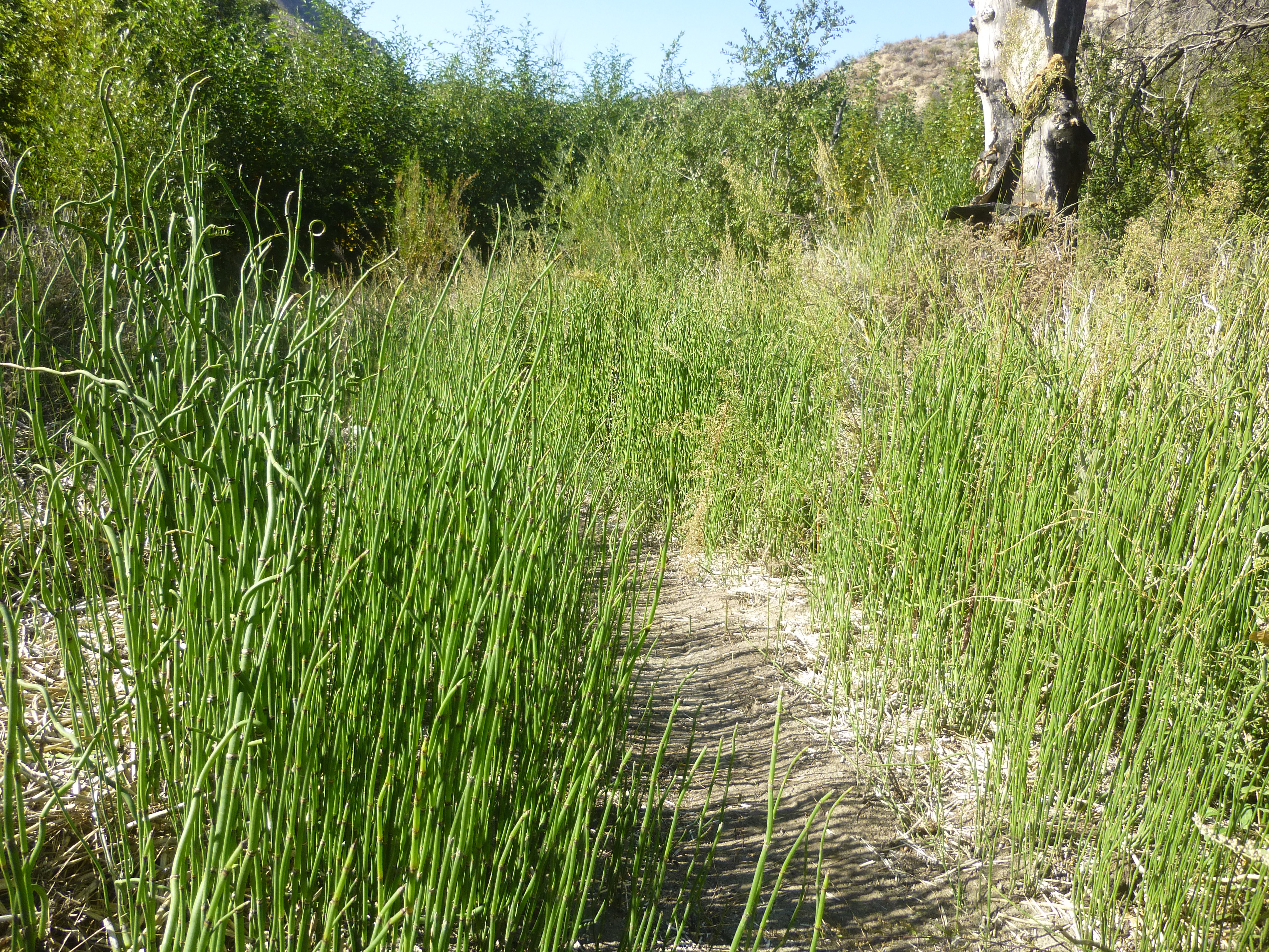
And there's lots of this stuff.

Image

Stonyvale offers picnic tables, a restroom, and a faucet.

Image

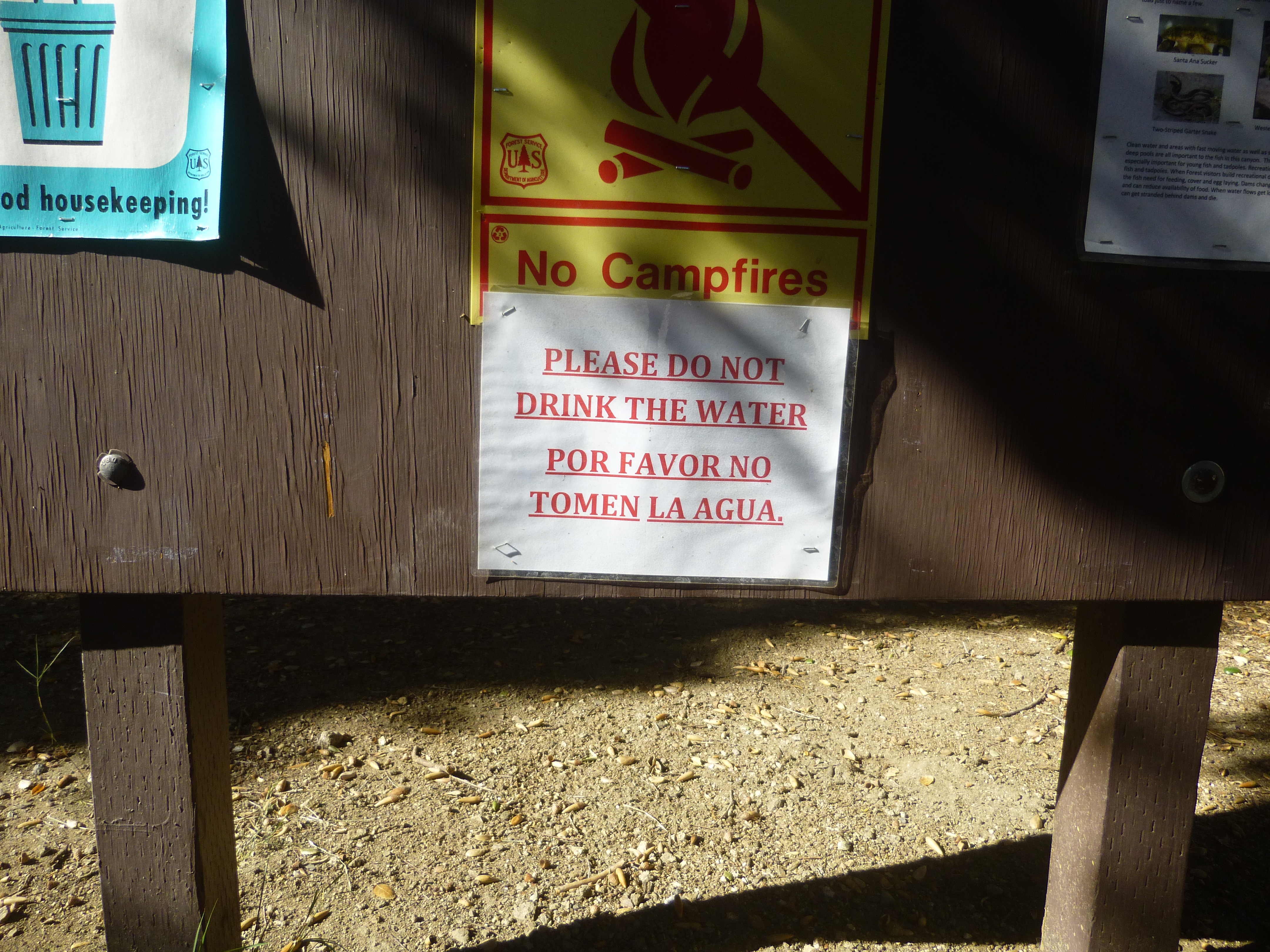
Try not to guzzle down a liter of water from the faucet before reading the bulletin board, which asks visitors to:

Image

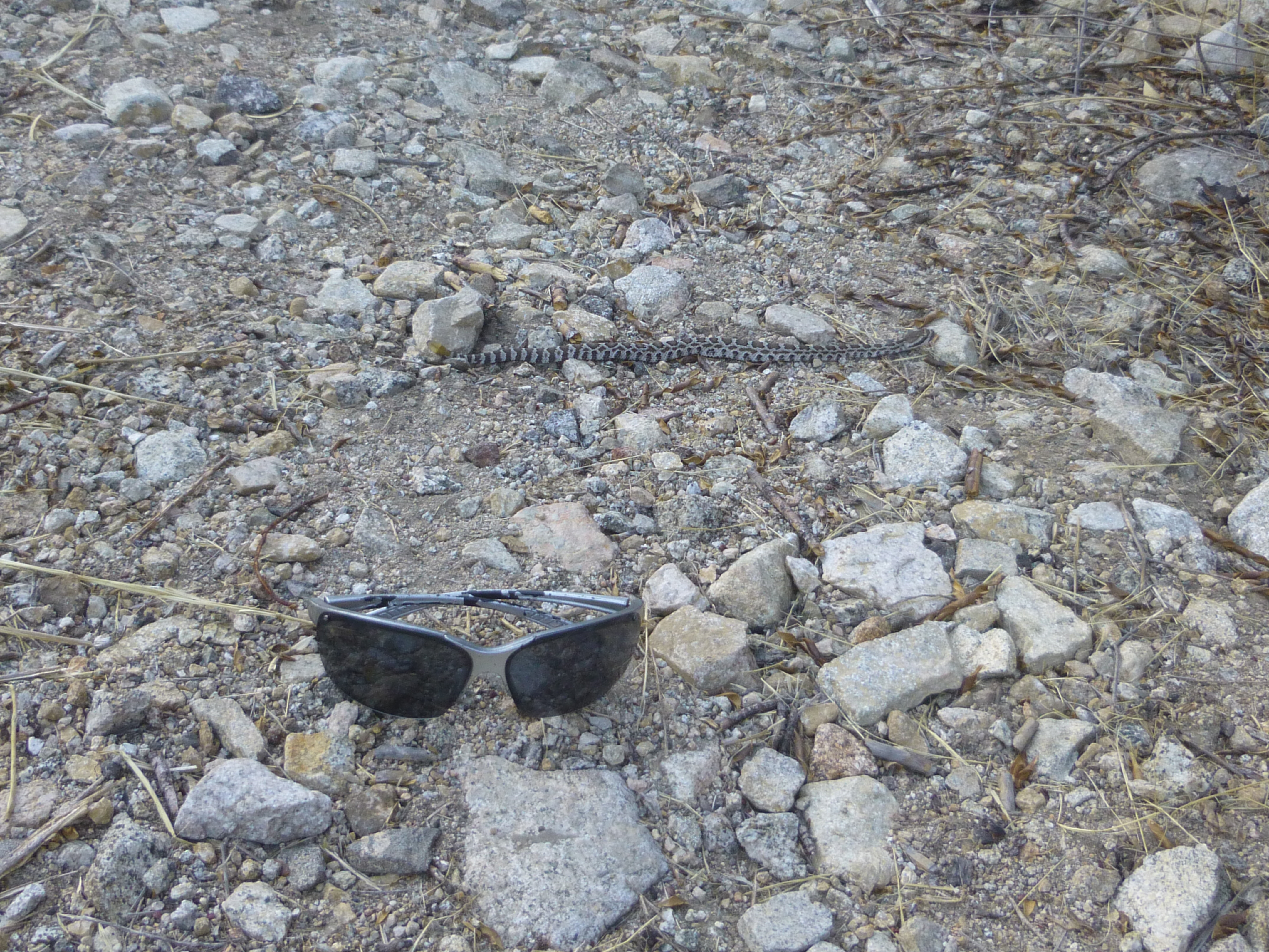
And on the return trip, watch out for baby rattlesnakes.

Image
User avatar
walker
Posts: 248
Joined: Mon Apr 08, 2013 11:14 pm

Post by walker »

Nice report. That's one of my favorite "3 hours or less" trailheads in the area.

I was pleased on recent trips to see lots of pine saplings sprouting up both at the burned out pine plantation where the trail crests out and down near the burned up pine groves in Grizzly Flats itself.

It probably won't be as nice and shady as it used to be down there for a couple of decades, but who knows. Also a good area to spot critters. Saw a bear and a fox down at Grizzly Flats on the same day once.

I imagine all of the trail work is in response to the recent death of a hiker who ended up descending Vasquez Canyon instead of the main trail. The area was totally confusing before with all of the old road grades and spurs, but now it would be hard to take the wrong turn without knowing it. Thanks is due to all the folks who helped to bring the trail back.
User avatar
Hikin_Jim
Posts: 4686
Joined: Thu Sep 27, 2007 9:04 pm

Post by Hikin_Jim »

Nice TR, Sean. That's pretty much the first trail one encounters as one drives up Angeles Crest Highway (yes, there's Gould Mesa, but that's a road walk). It's nice to see it's back in shape. I had mentally written that one off as a probable Poodle Dog hell.

HJ
User avatar
Sean
Cucamonga
Posts: 3787
Joined: Wed Jul 27, 2011 12:32 pm

Post by Sean »

There were lots of animal droppings along the fire road. And I heard something large in the brush, but it didn't want to come out.

Also, I met a trail worker named Dave. I was heading back down to the car, and he was going up with about four different tools. He's working on the ridge route to Lukens from the saddle junction. The trail bypasses a couple rather long road switchbacks.
User avatar
walker
Posts: 248
Joined: Mon Apr 08, 2013 11:14 pm

Post by walker »

Does anybody know if the Dark Canyon Trail ever existed as a continuous route from lower DCT to upper DCT?

I'm assuming that the current route into the Arroyo via CCC Ridge to lower DCT is actually part of the old road grade that contours downcanyon into Woodwardia Canyon and beyond. Was there ever an actual trail in Dark Canyon between that abandoned road and ACH?
User avatar
Hikin_Jim
Posts: 4686
Joined: Thu Sep 27, 2007 9:04 pm

Post by Hikin_Jim »

I believe there was. It's certainly come up on the forum from time to time. Matt Maxon has mentioned it as i recall.

HJ
Post Reply