TRs for the San Gabriel Mountains.
He219
Posts: 386Joined: Thu Sep 27, 2007 11:18 pm
Post by He219 Sun Jun 08, 2008 11:37 pm
June 8th, 2008: A beautiful day!
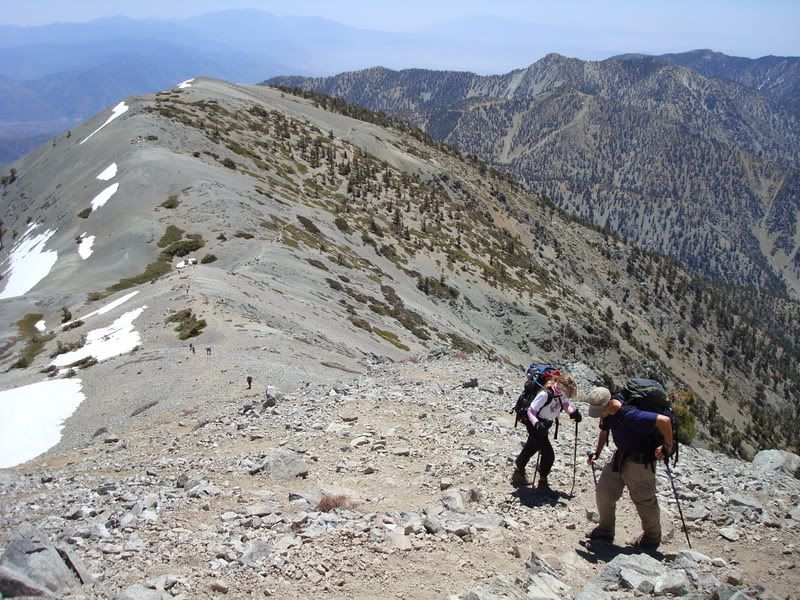
First time up register ridge, nice route with great views. Best climbed with a heavy pack
Then the DBB to to 10,064.
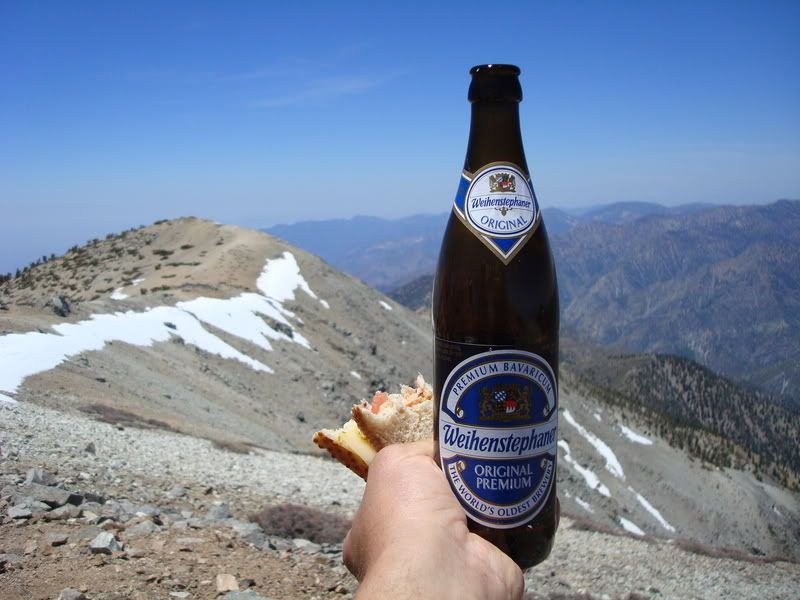
A nice distraction from the
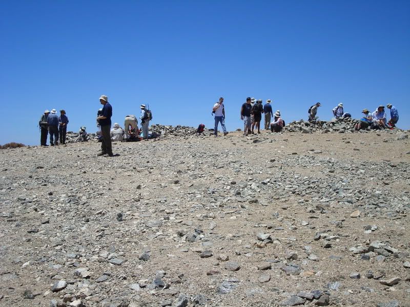
trekking convention at the top
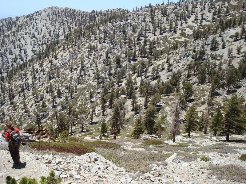
Then the traditional route down via the Ski Hut trail
F6F-5 Hellcat wreckage from March 2, 1949.
RiP pilots
Taco
Snownado survivor
Posts: 6193Joined: Thu Sep 27, 2007 4:35 pm
Post by Taco Sun Jun 08, 2008 11:54 pm
Beer FTW.
He219
Posts: 386Joined: Thu Sep 27, 2007 11:18 pm
Post by He219 Mon Jun 09, 2008 12:16 am
Sammich was good too!
Crowds follow weekends and good weather, not like over the Superbowl ..
Taco
Snownado survivor
Posts: 6193Joined: Thu Sep 27, 2007 4:35 pm
Post by Taco Mon Jun 09, 2008 12:34 am
Crowds don't liuke fun, it seems. 8)
406
Posts: 325Joined: Thu Jan 17, 2008 10:36 am
Post by 406 Mon Jun 09, 2008 11:41 am
I love Bayern bier!!!!
Augie
Posts: 345Joined: Fri Sep 28, 2007 2:17 pm
Post by Augie Wed Jun 11, 2008 9:06 am
He219: where is that wreckage located?
HikeUp
Posts: 4070Joined: Thu Sep 27, 2007 9:21 pm
Post by HikeUp Wed Jun 11, 2008 9:37 am
Augie wrote:He219: where is that wreckage located?
Here is a
map showing wreckage location. I think you leave the ski hut trail at the point where
this sign is. Taken from a great
resource for trail info.
He219
Posts: 386Joined: Thu Sep 27, 2007 11:18 pm
Post by He219 Wed Jun 11, 2008 3:57 pm
It's exactly where
that sign HikeUp referenced is.
The C-46A Commando
wreck on the North Face is more difficult to get to ..
Augie
Posts: 345Joined: Fri Sep 28, 2007 2:17 pm
Post by Augie Wed Jun 11, 2008 5:05 pm
Thanks HikeUp and HE219. Nice map. How far down is the wreckage from the sign?
He219
Posts: 386Joined: Thu Sep 27, 2007 11:18 pm
Post by He219 Wed Jun 11, 2008 9:00 pm
Augie wrote:How far down is the wreckage from the sign?
First big chunk (center wingspar with L&R landing gear) is 50 feet down, litterally.
Then it keeps on going down scattered another 500 feet or so to the 9,100 foot level, easy to get stuck heading down canyon.
Augie
Posts: 345Joined: Fri Sep 28, 2007 2:17 pm
Post by Augie Thu Jun 12, 2008 9:04 am
HE219: Thanks again for the directions.


