We all met at Cow Canyon Saddle and by 7:15 AM started north along the fire road. A quarter-mile later, at the abandoned Mt. Baldy Ranch RV Park, the unsigned Lookout Trail climbed straight up a steep slope, gaining 60 feet or so before cutting left and contouring gradually for a mile to Saddle 5480+. This first stretch of trail was slightly brushy and narrow with a few parts where the trail has been mostly washed away or covered in landslides. However, the views down-canyon to the west were impressive and vast. Also, immediately to the south was Sunset Peak, another fun hike.
Above Saddle 5480+, the trail now followed the ridgeline, initially pushing through a recently clipped section of thorny bushes. Soon the thorns receded and the ridge cleared up. At the 6280' mark the trail bent to the right, left the current ridge, and crossed over to a second ridge, where it switched left and ascended steeply to the north side of Lookout Mountain.
Now there was only a short push to the summit on a narrow trail through a sea of green leaves.
We reached the summit around 8:45 AM and checked out what remained of the old lookout tower, which wasn't much.
The old survey marker read "Antonio."
The group then pushed through some brush and explored the west side of the peak, where we discovered a bear print
and a panorama view of Big Horn Ridge and Iron Mountain.

Next we would tackle Lookout Ridge, heading north and east toward Point 8402 along the Bear Canyon Trail. About this time, however, my camera was giving me problems.

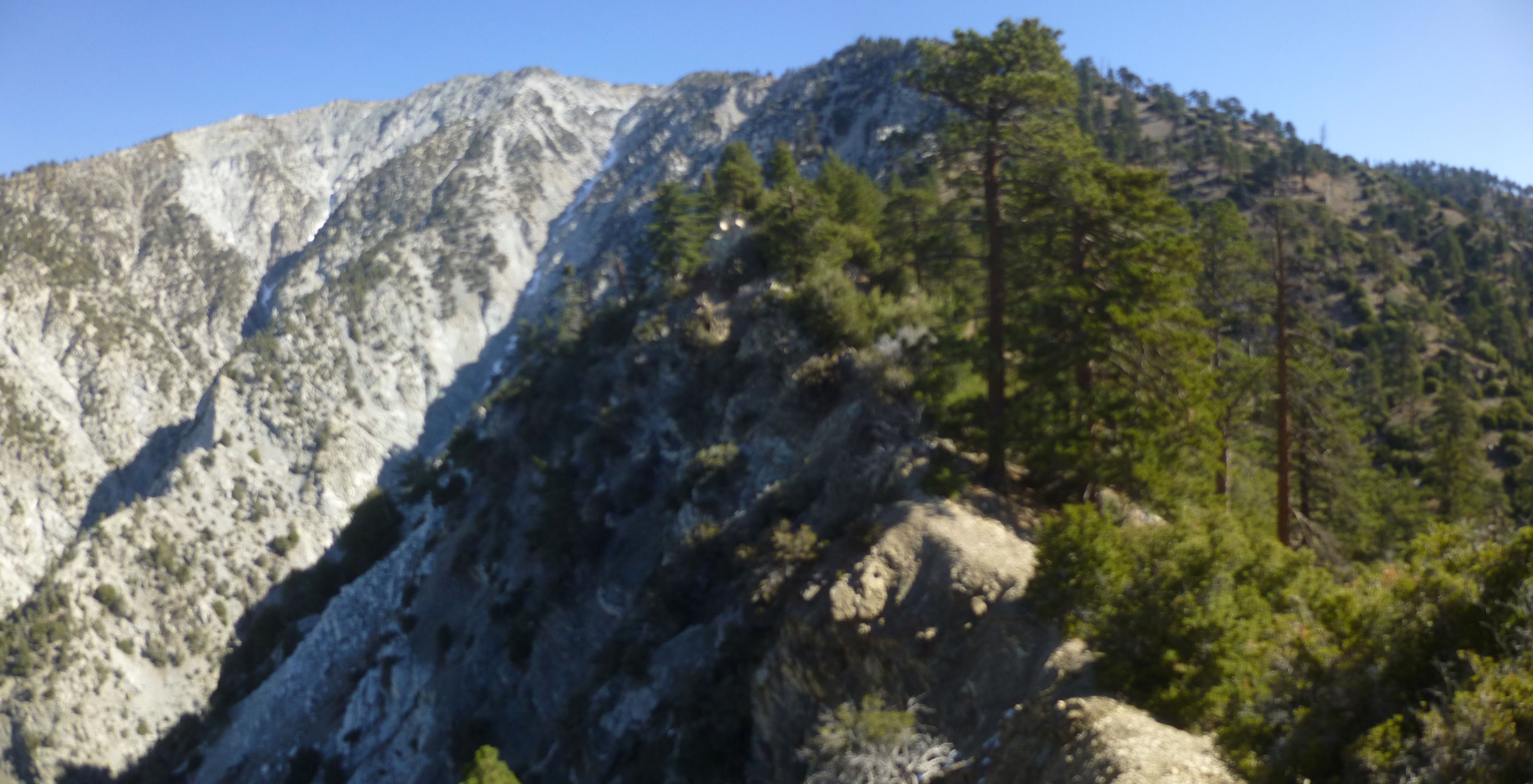
The day before I had opened it up to clean dust from the inner parts. And now I couldn't figure out how to fix the settings. Thus, some of my pictures from Lookout Ridge were out-of-focus.

And some were not.
I did get some sweet shots of two Bighorns.
Lookout Ridge requires decent navigational skills to conquer efficiently. We mostly followed a series of use and animal tracks varying in faintness. The mile-long route from Lookout Mountain to the saddle above the West Fork of Bear Canyon was generally level contouring with some downhill. We dropped about 300 feet in elevation.
Beyond the junction with Bear Canyon West Fork, we climbed steeply, gaining 1800' over 1.2 miles.
For the most part we stayed near the cliffs overlooking Cattle Canyon on the left.
As we approached the top of the ridge, we found ourselves shifting away from the cliffs and following established use trails.
By 11:30 AM we were resting comfortably at the Bear Canyon Trail.

After lunch the group continued on to Baldy. But I descended to the Village, eager to get home and watch football.
