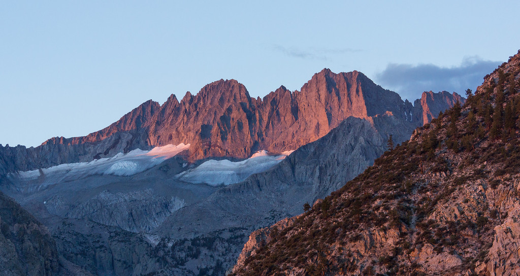
The early morning light was pretty on Middle Palisade and Norman Clyde Peak.
![Image](https://eispiraten.com/images-archived/richardk.smugmug.com/Nature/Sierra-2013/i-wpzFTFp/0/XL/DSC02863-1-XL.jpg)
After passing the junction with the North Fork trail, you hike up a slope to where the trail turns north. There are nice views of both the north and south forks of Big Pine Canyon.
![Image](https://eispiraten.com/images-archived/richardk.smugmug.com/Nature/Sierra-2013/i-ZjLsB6J/0/XL/DSC02995-1-XL.jpg)
![Image](https://eispiraten.com/images-archived/richardk.smugmug.com/Nature/Sierra-2013/i-SwJ6sZS/0/XL/DSC02997-1-XL.jpg)
The trail dips through a small valley.
![Image](https://eispiraten.com/images-archived/richardk.smugmug.com/Nature/Sierra-2013/i-mmpHgLG/0/XL/Pano2871_2874-XL.jpg)
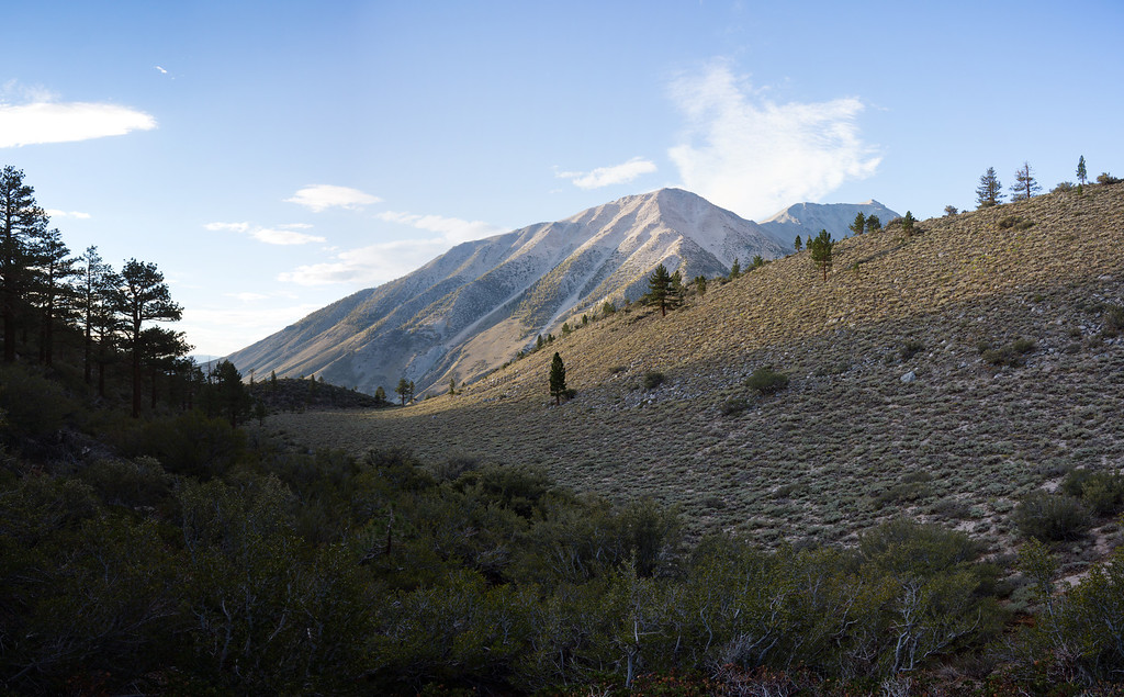
Logging Flat comes up next. It is not exactly flat since the average grade of the trail here is 16%.
![Image](https://eispiraten.com/images-archived/richardk.smugmug.com/Nature/Sierra-2013/i-CDCMT7B/0/X2/Pano2889_2892-X2.jpg)
Past the flat, you continue up a slope with the Palisades looming into view.
![Image](https://eispiraten.com/images-archived/richardk.smugmug.com/Nature/Sierra-2013/i-MCptjgB/0/XL/Pano2893_2897-XL.jpg)
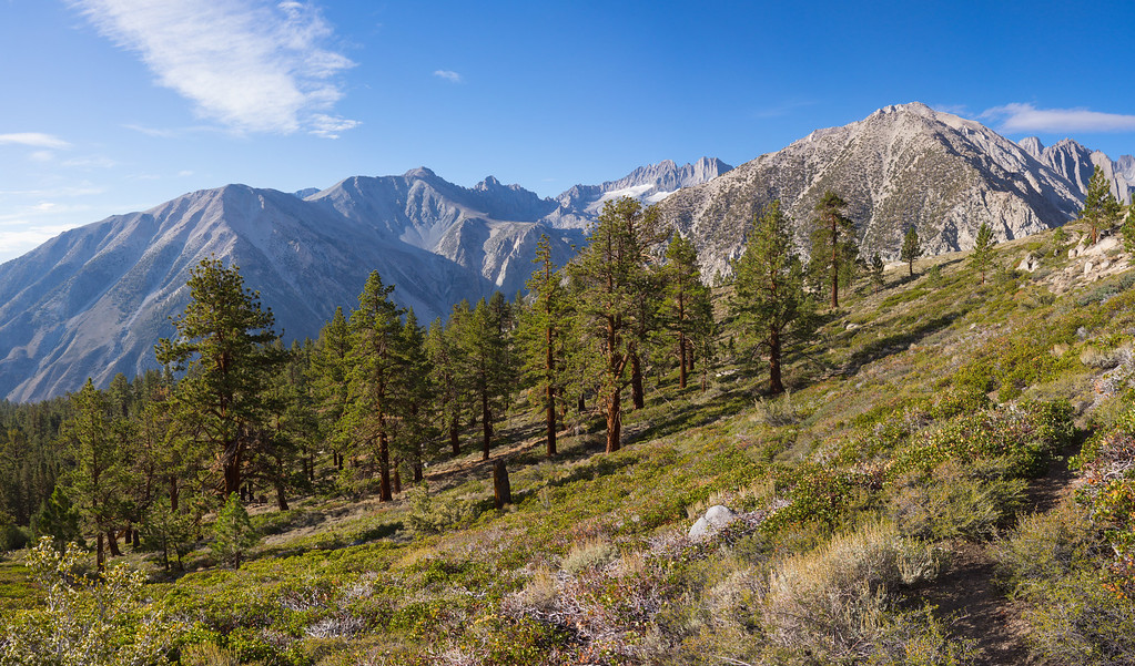
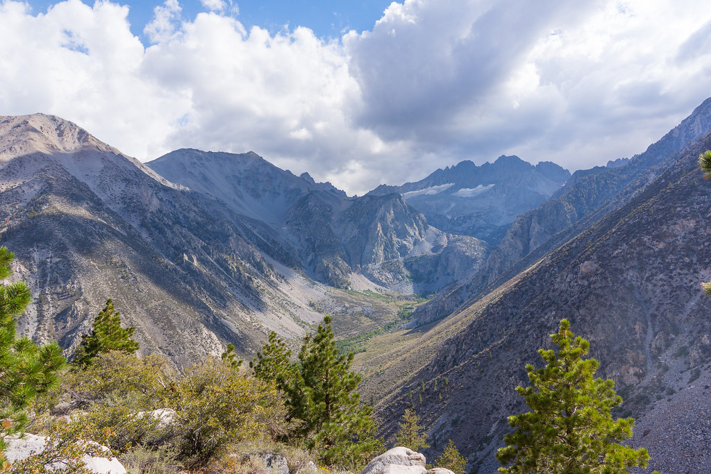
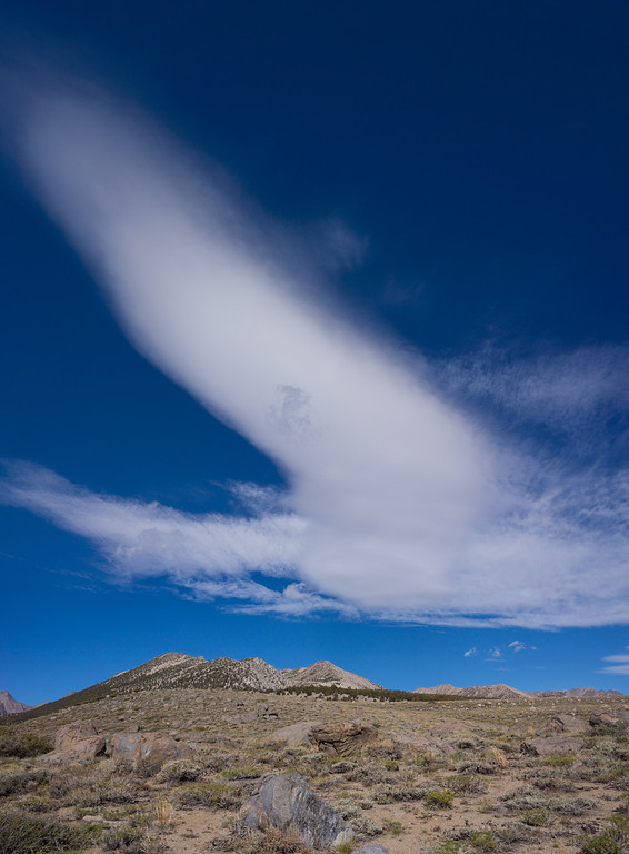
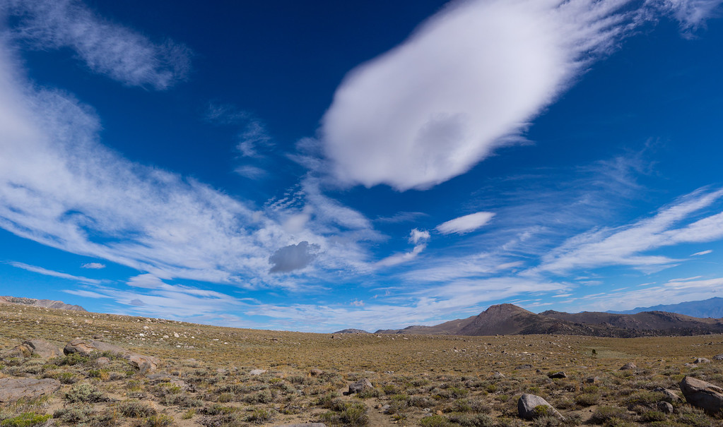
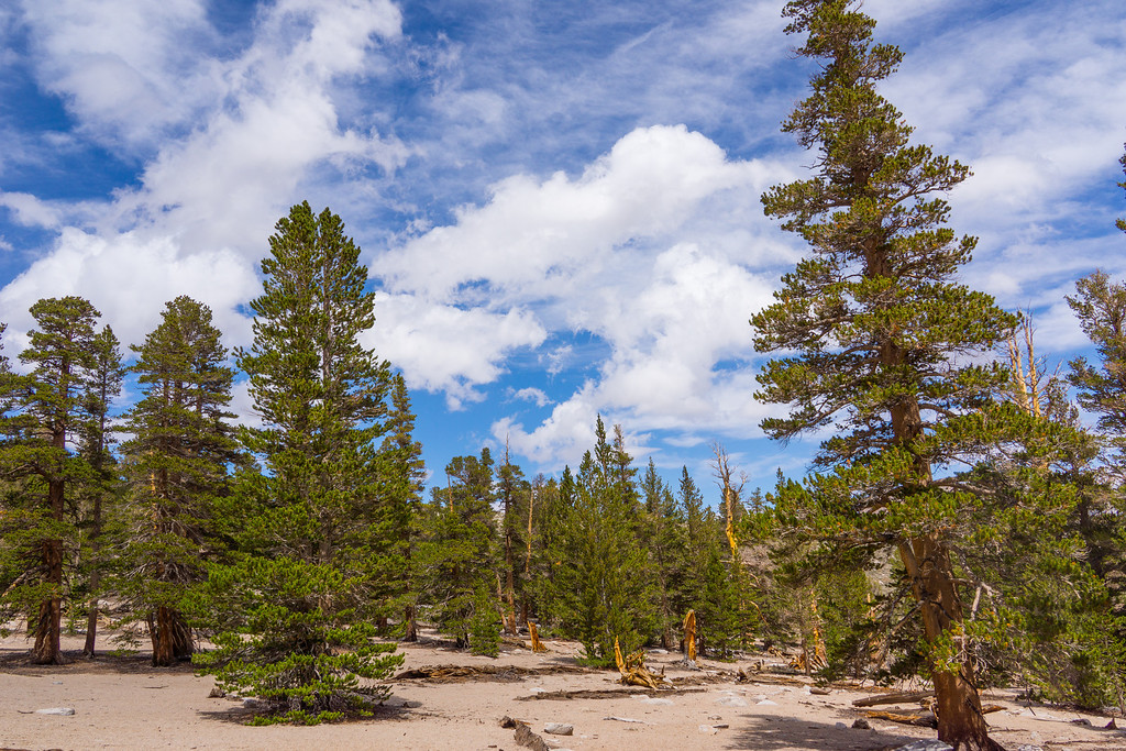
The trail peaks at a huge, flat, rocky plateau elevation 10,267 feet. The monsoon moisture that came up from Mexico made for pretty clouds.
![Image](https://eispiraten.com/images-archived/richardk.smugmug.com/Nature/Sierra-2013/i-dLBxNSC/0/XL/Pano2905_2907a-XL.jpg)
![Image](https://eispiraten.com/images-archived/richardk.smugmug.com/Nature/Sierra-2013/i-W9QcQjz/0/XL/Pano2914_2918-XL.jpg)
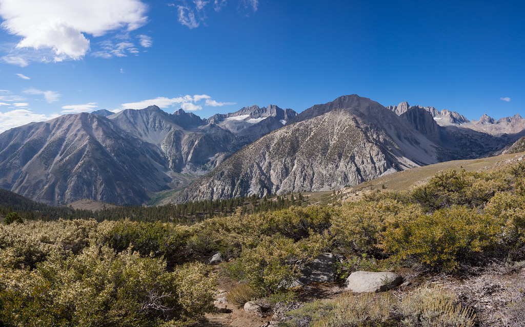
The view south is one that you could never get tired of. On the far right, you can see a piece of the Palisade Glacier.
![Image](https://eispiraten.com/images-archived/richardk.smugmug.com/Nature/Sierra-2013/i-3tDhBNX/0/XL/Pano2909_2913-XL.jpg)
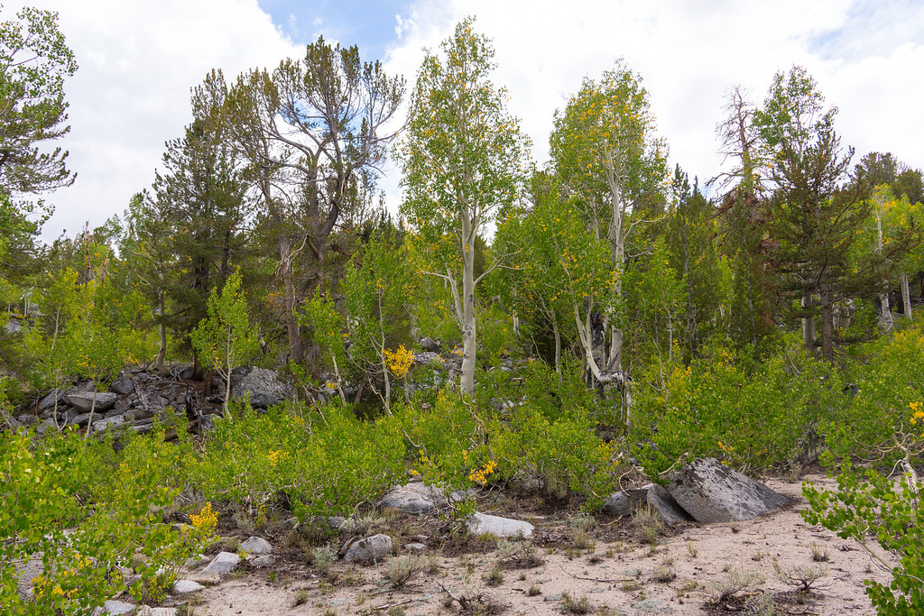
Crossing the plateau, you enter a grove of aspens where the leaves were just beginning to turn.
![Image](https://eispiraten.com/images-archived/richardk.smugmug.com/Nature/Sierra-2013/i-jj89LpV/0/XL/DSC02954-1-XL.jpg)
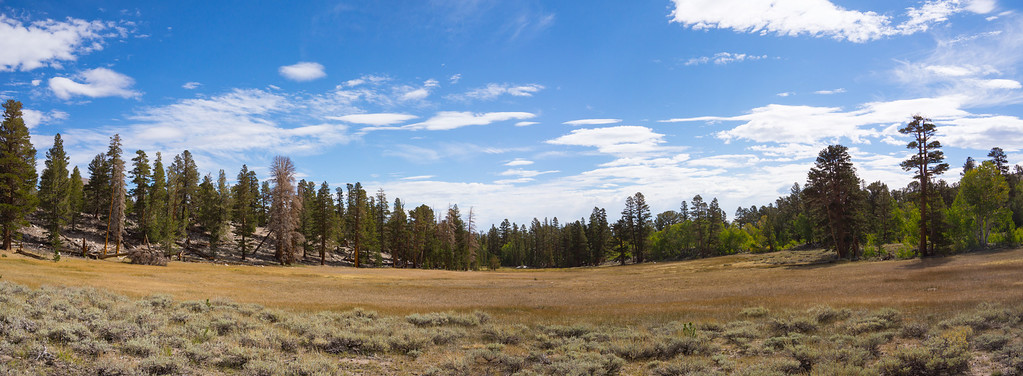
High Meadows must be beautiful in the spring, but now it is just dried up and brown.
![Image](https://eispiraten.com/images-archived/richardk.smugmug.com/Nature/Sierra-2013/i-zcKn423/0/XL/Pano2920_2922-XL.jpg)
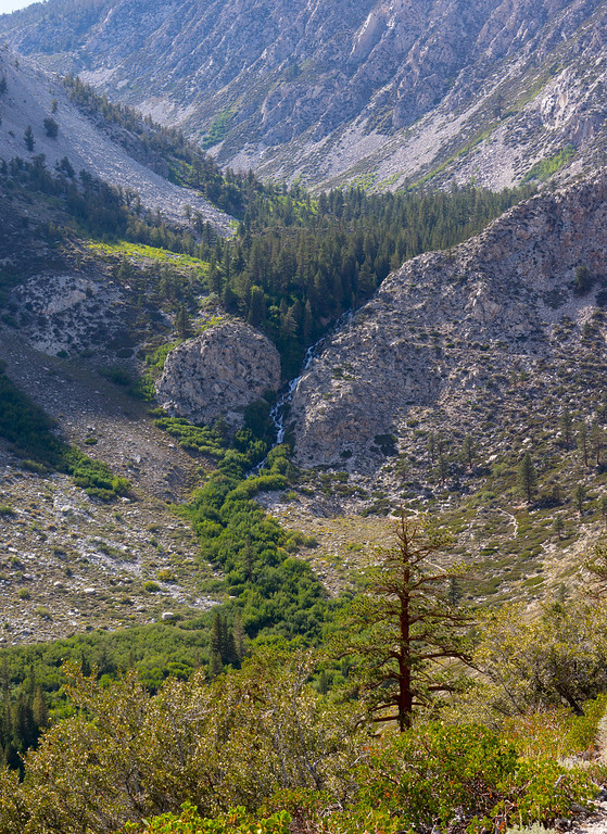
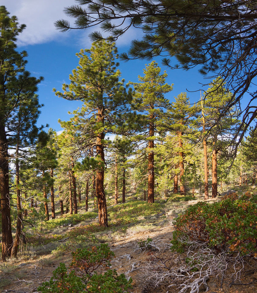
The next section is widely spaced trees with loose, sandy soil. Through here the trail gets faint in places. Watch for cairns.
![Image](https://eispiraten.com/images-archived/richardk.smugmug.com/Nature/Sierra-2013/i-BGSnhJf/0/XL/DSC02948-1-XL.jpg)
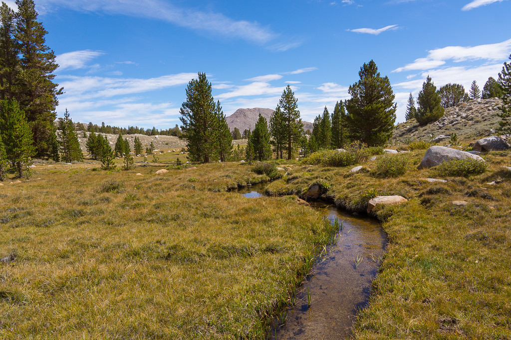
If you lose the trail, just head due north. You will hit Baker Creek. OK, it's not a mighty river, but the water looked good after 6 miles of dry land.
![Image](https://eispiraten.com/images-archived/richardk.smugmug.com/Nature/Sierra-2013/i-MrbKm5z/0/XL/DSC02927-1-XL.jpg)
![Image](https://eispiraten.com/images-archived/richardk.smugmug.com/Nature/Sierra-2013/i-SQtC7Dg/0/XL/DSC02945-1-XL.jpg)
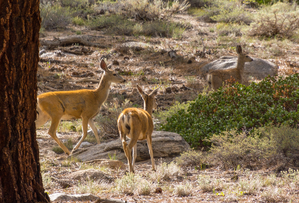
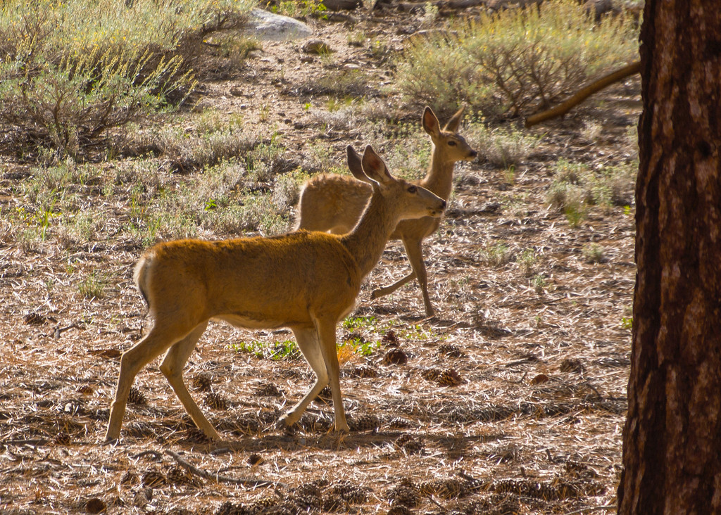
A herd of deer greeted us on the return.
![Image](https://eispiraten.com/images-archived/richardk.smugmug.com/Nature/Sierra-2013/i-qWFmmGm/0/XL/DSC02988-1-XL.jpg)
![Image](https://eispiraten.com/images-archived/richardk.smugmug.com/Nature/Sierra-2013/i-qmx2rL4/0/XL/DSC02985-1-XL.jpg)
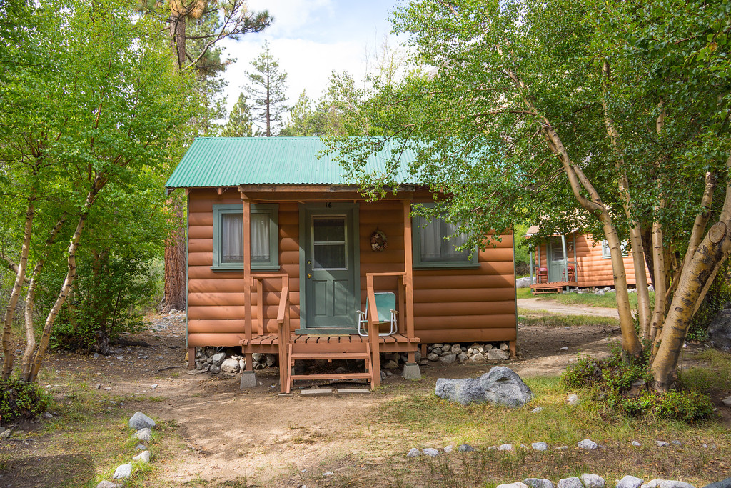
We stayed at a cabin at Glacier Lodge. It is so nice being able to hike from the cabin instead if driving to the trailhead.
![Image](https://eispiraten.com/images-archived/richardk.smugmug.com/Nature/Sierra-2013/i-CHttKv4/0/XL/DSC02998a-XL.jpg)