

By 6:30 AM the sky appeared dark blue, and the air chilled my skin. Reddish Baden-Powell glowed softly in the distance.

I had finished eating breakfast in the empty Inspiration Point parking lot, a few miles outside of Wrightwood. Across the silent roadway I walked and boarded the Pacific Crest Trail Express. Destination: some spring in Flume Canyon, below Guffy Campground, roughly 4.6 miles away. Not a very inspiring destination, I know. But perhaps a critical one for anyone considering the Death March next spring.
While aboard the PCT Express I caught a few noteworthy scenes:
San Antonio Ridge and Iron Mountain

Mountain High reservoir

Pine Mountain
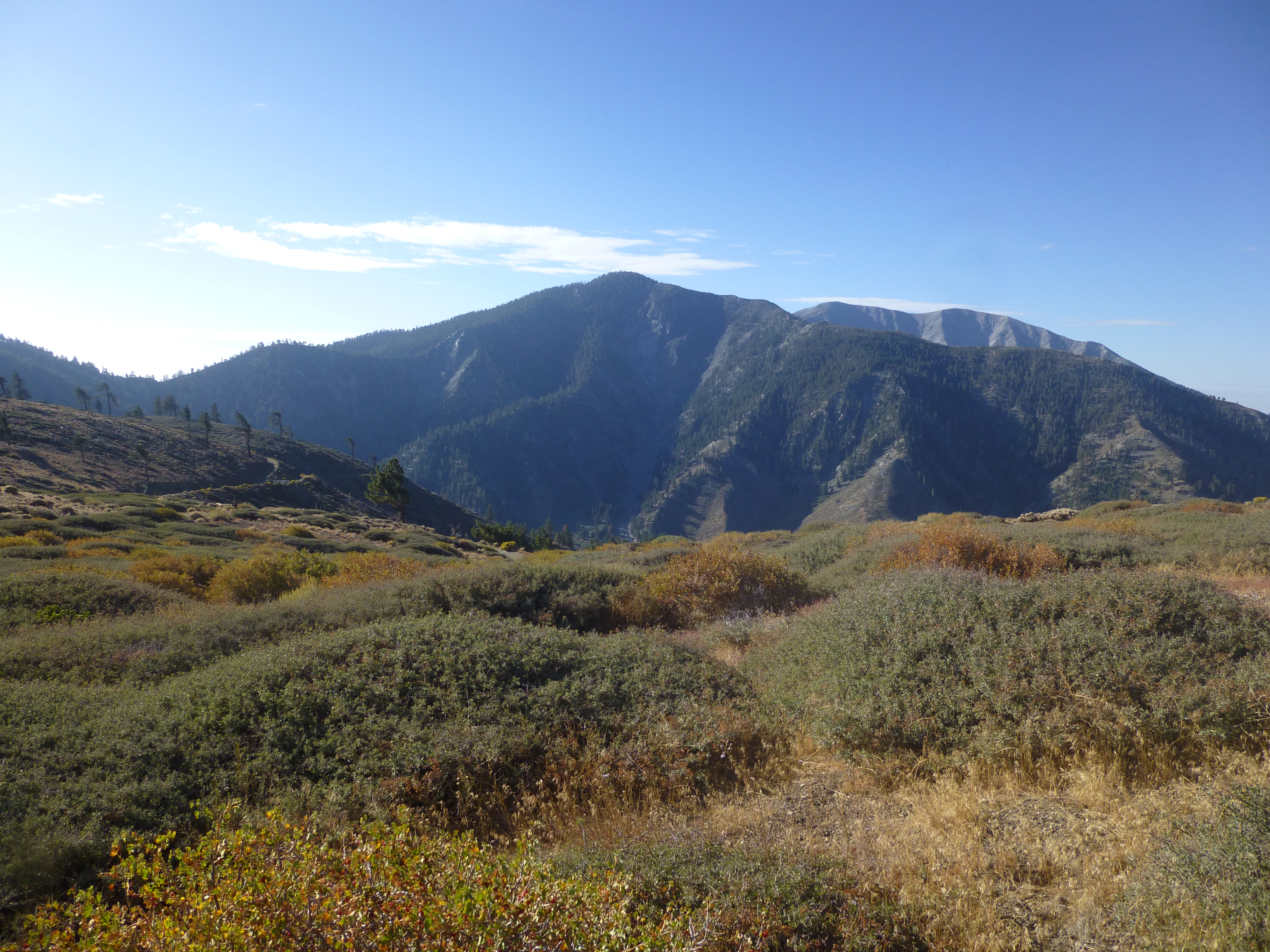
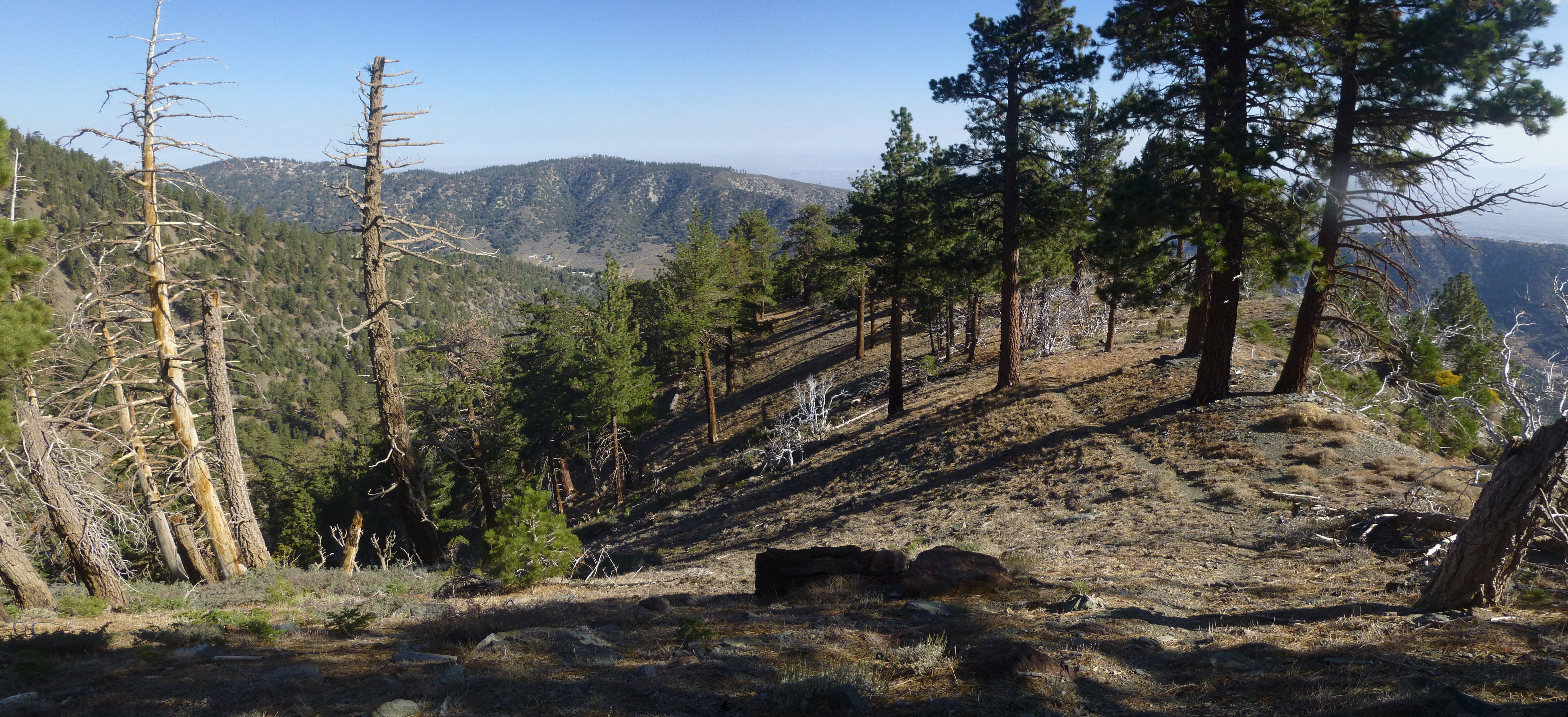
The ridge itself provided a surprising amount of tree-cover, considering how developed it is with fire roads and ski slopes. Much of the trail ran amongst refreshing shade.
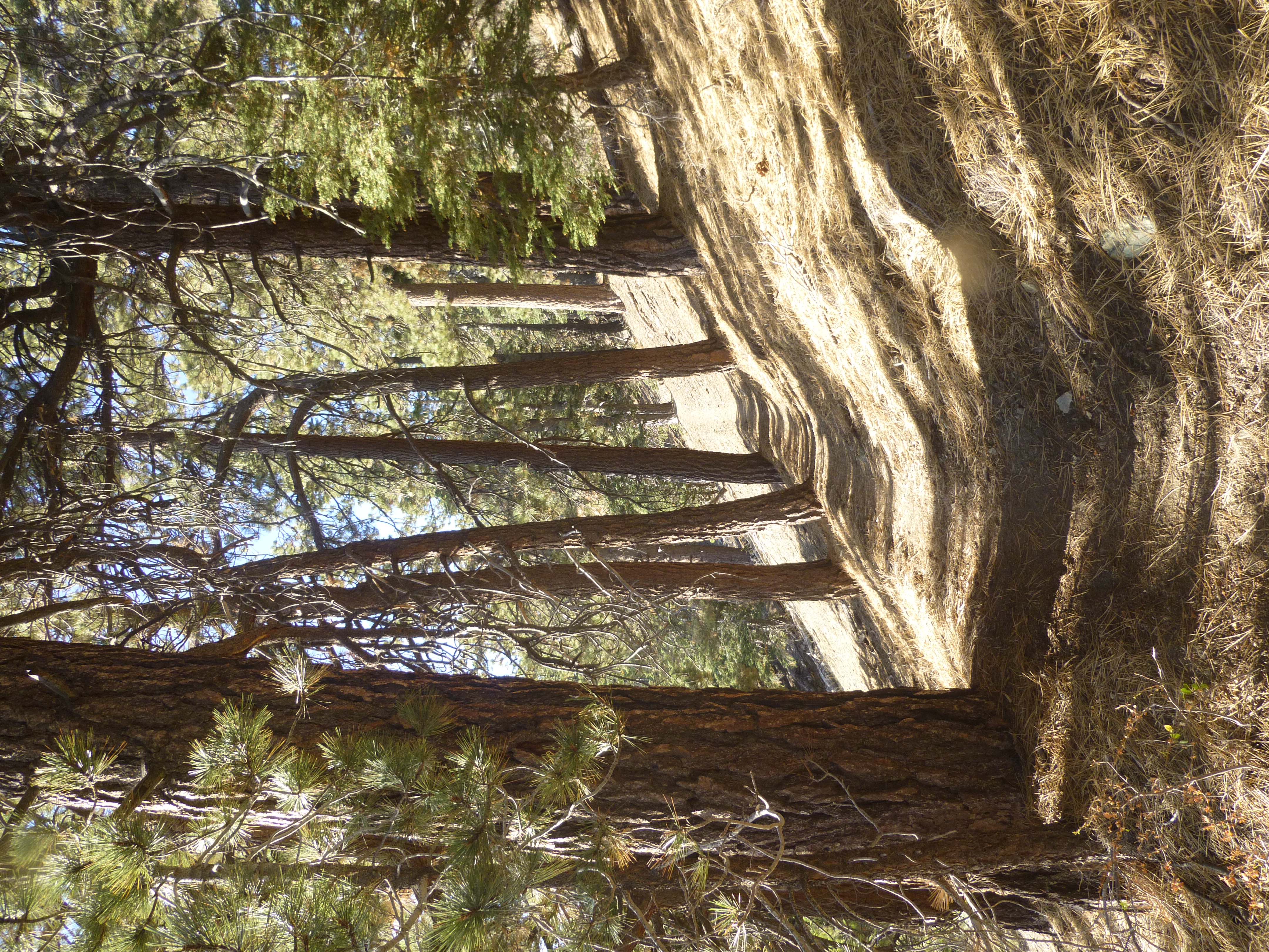
Except for this part:

I think I sneaked through Blue Ridge Campground undetected by the few residents. But by the time I reached Guffy Campground it was 8:30 AM, and people were already up and about.
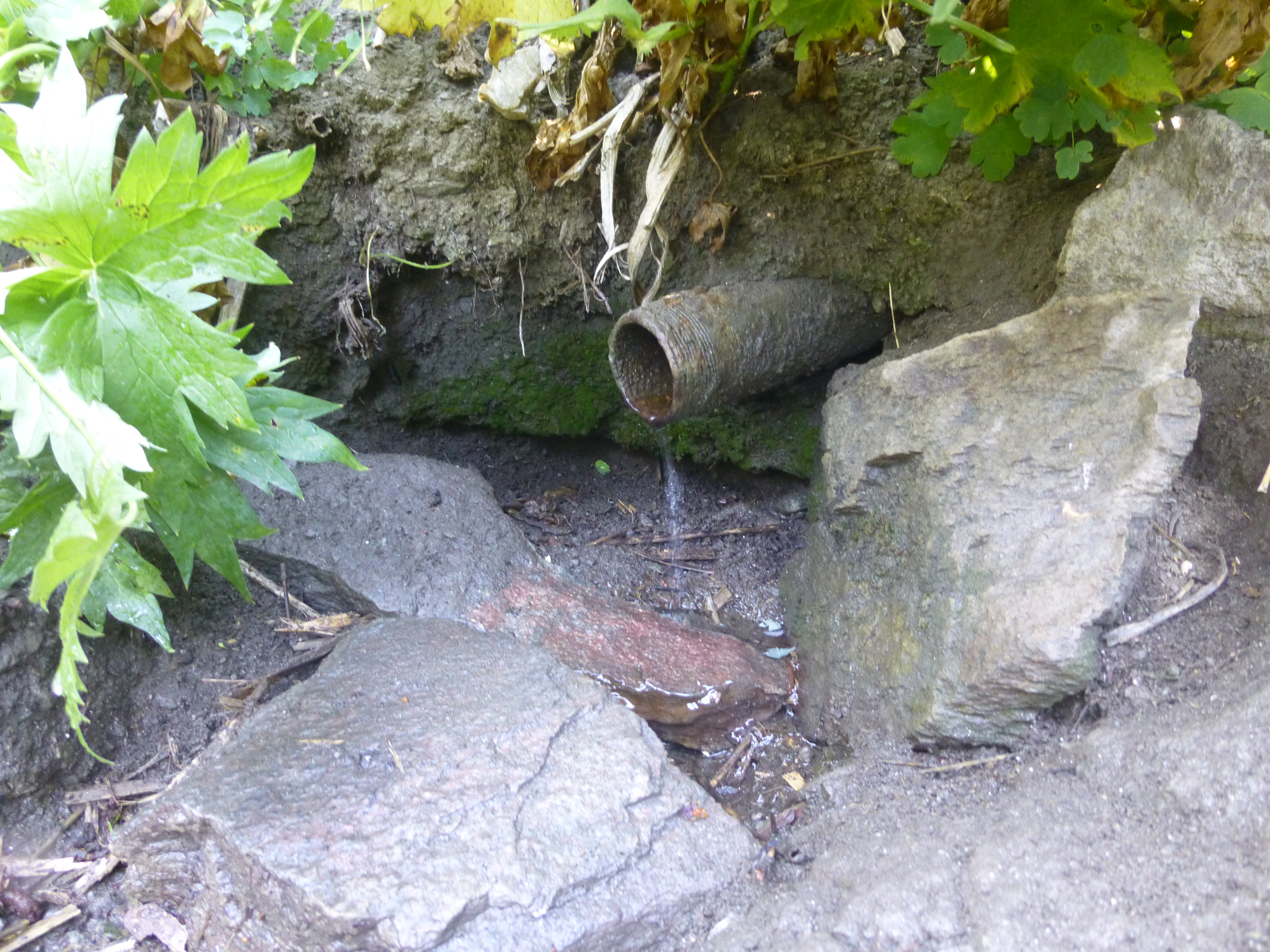
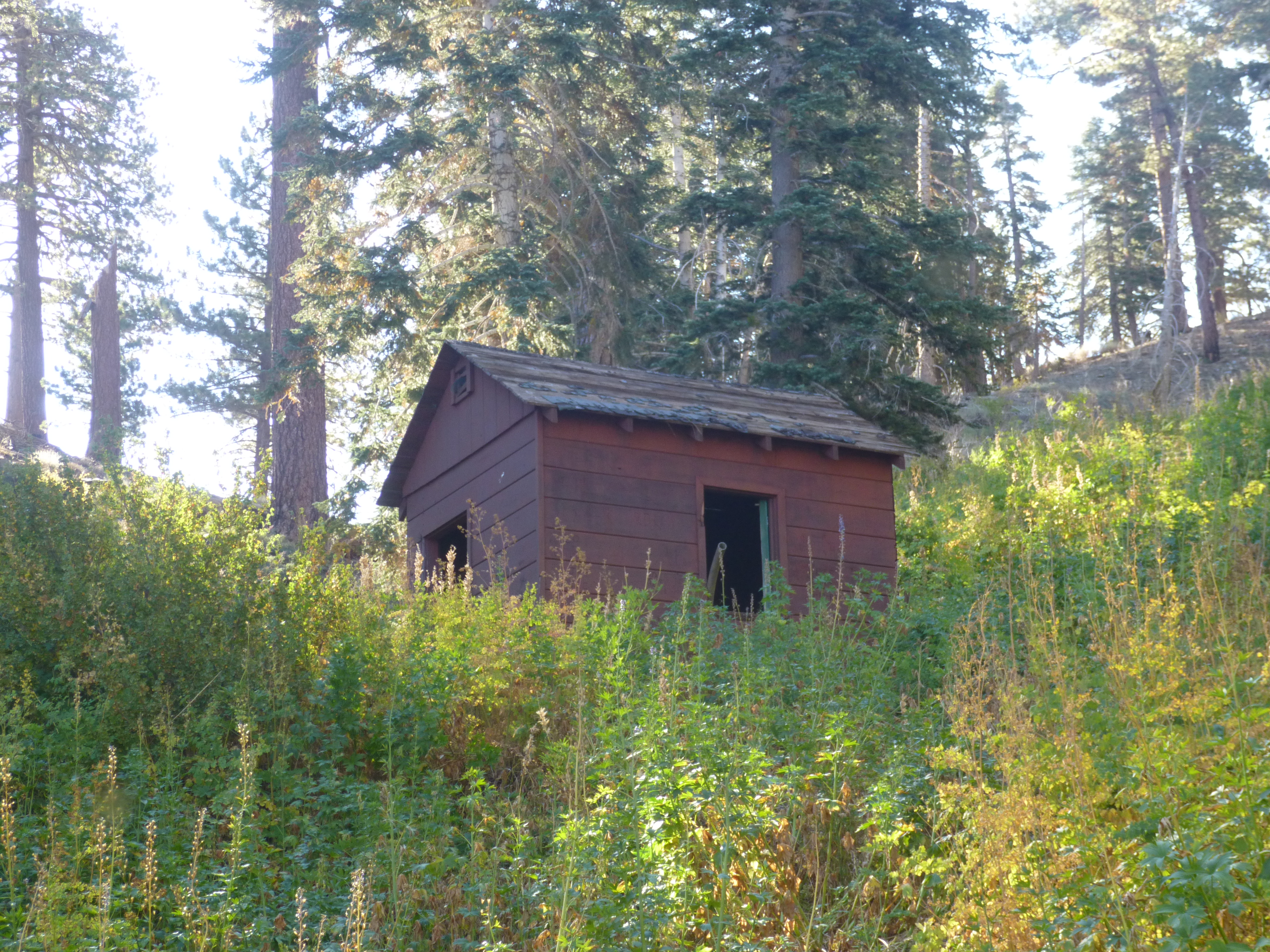
After a look at the map, Flume Canyon was easily discovered immediately north of Guffy. In fact an obvious trail led right down to the piped spring, situated next to a small wooden building. The spring still trickled enough to fill a liter bottle in three or four minutes.
Having reached my planned destination with more success than expected, I began considering a return route. A rather well-defined trail appeared to be descending the east ridge of Flume Canyon.
Feeling adventurous I jumped aboard the mystery train, ultimately finding myself on a fire road above Wrightwood. More precisely, a jumble of fire roads above Wrightwood. I couldn't tell you the exact manner in which I ended up in someone's backyard among a bunch of construction workers. But I did. Thankfully, they merely watched as I briskly walked down the driveway, onto the street, and out of their lives forever.
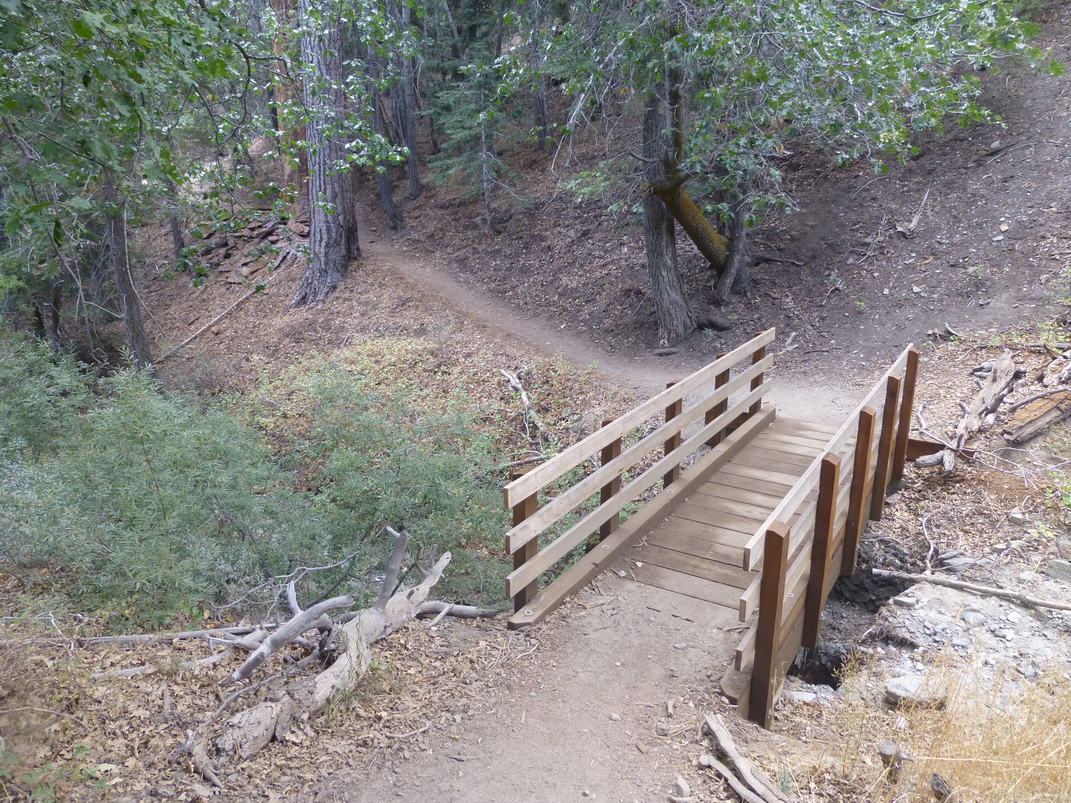
I then marched up the hot highway for two or three miles, finally reaching the Big Pines Lodge rest area around 11AM. Next door was the Blue Ridge Trail, which meandered for two miles through a beautiful forest with gullies that must be filled with little streams during spring.
This trail climbed up to Blue Ridge Campground, and in short order I was back on the PCT Express.
During the ascent from Big Pines Lodge, storm clouds had rolled into the area. And on my way back to the car, it started to rain.

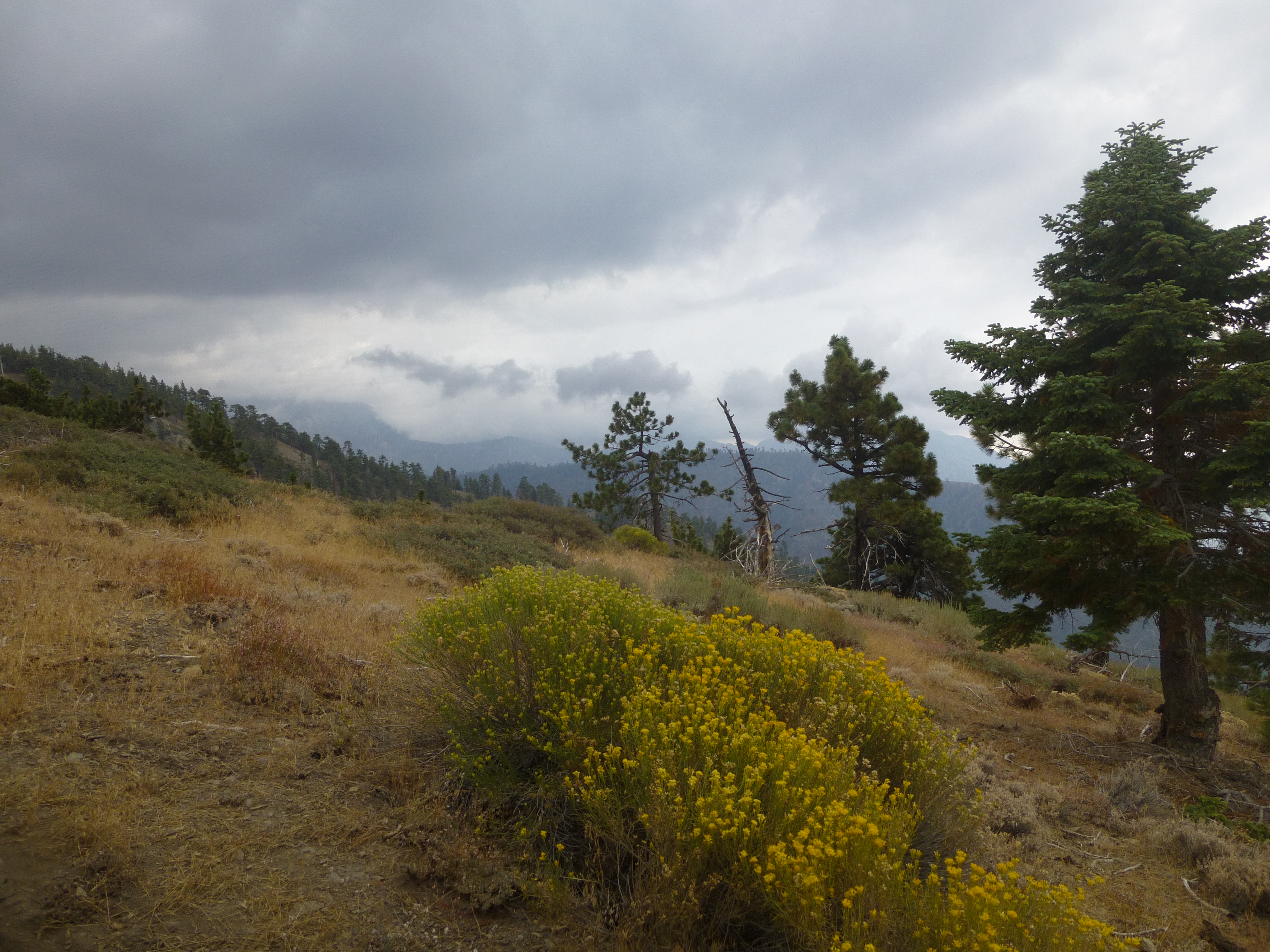

It was a pleasant rain. No thunder. No hail. Not too hard. Not too sticky.
At 1PM the PCT Express reached my stop at Inspiration Point.
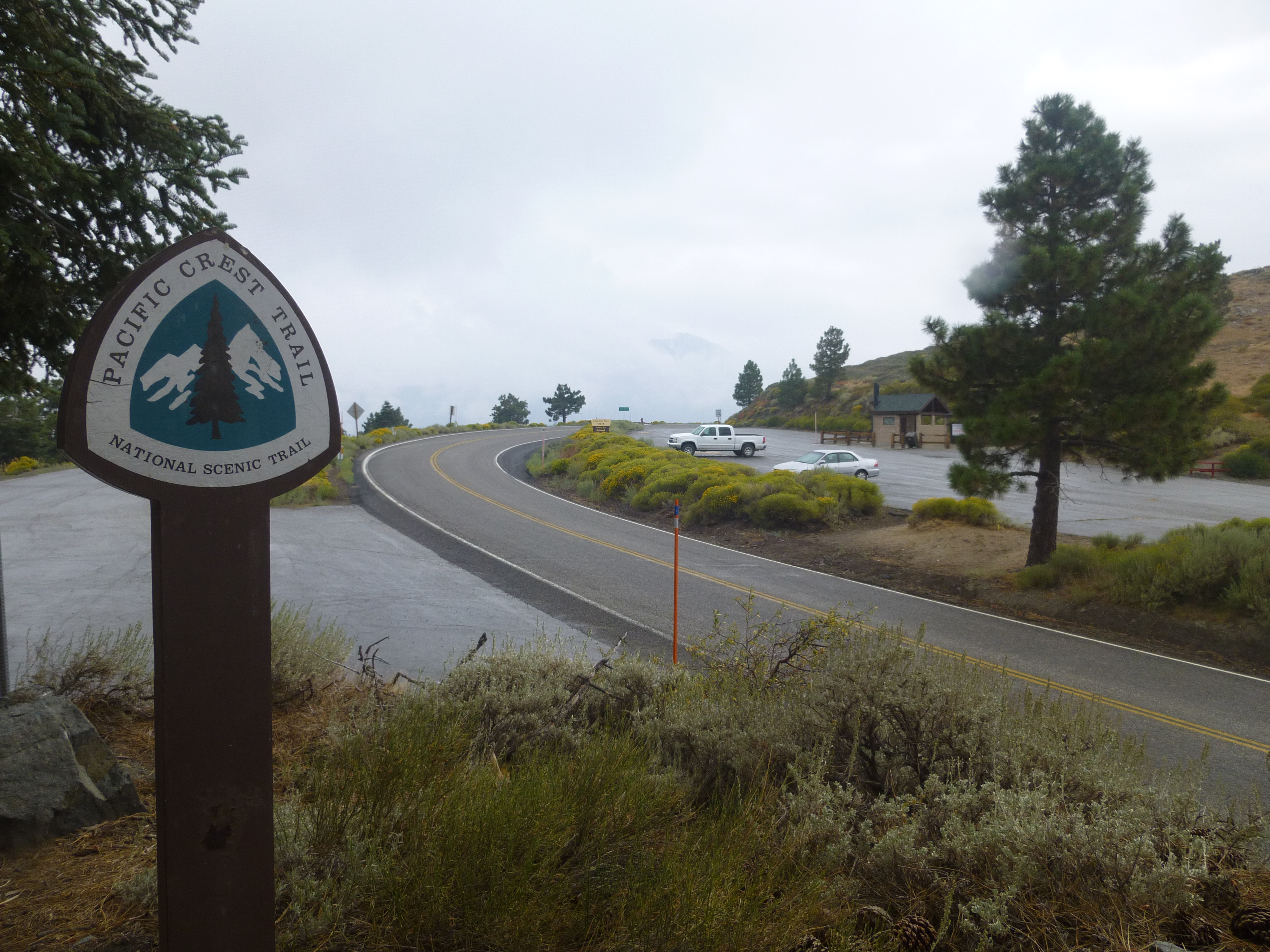
I jumped into my car, and a couple minutes later the downpour arrived.

