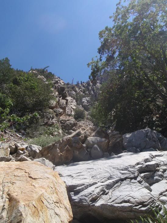
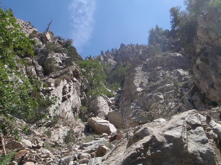
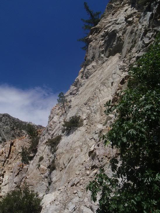
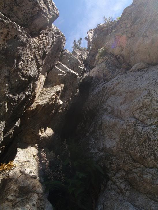
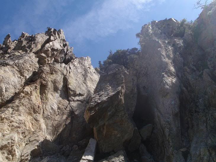
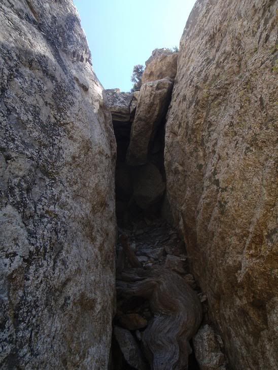
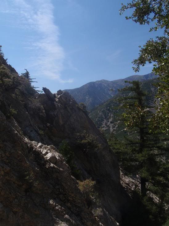
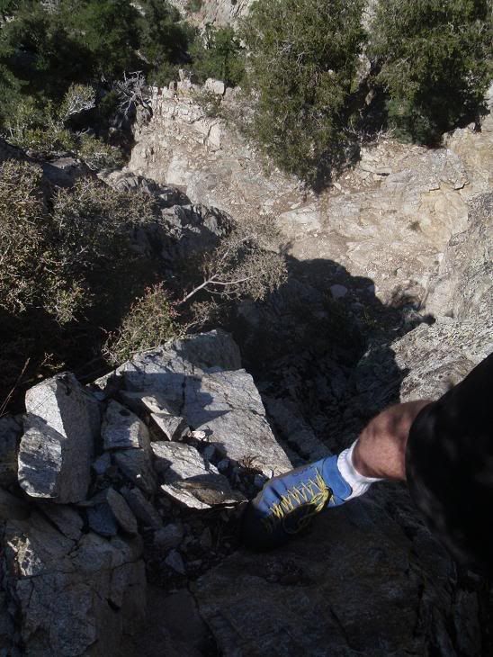
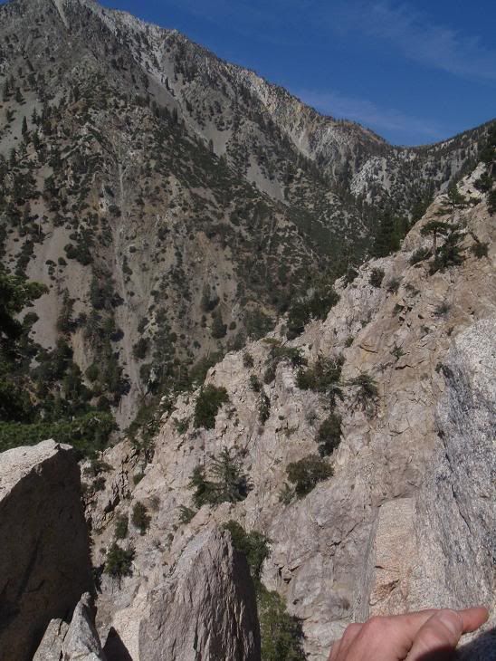
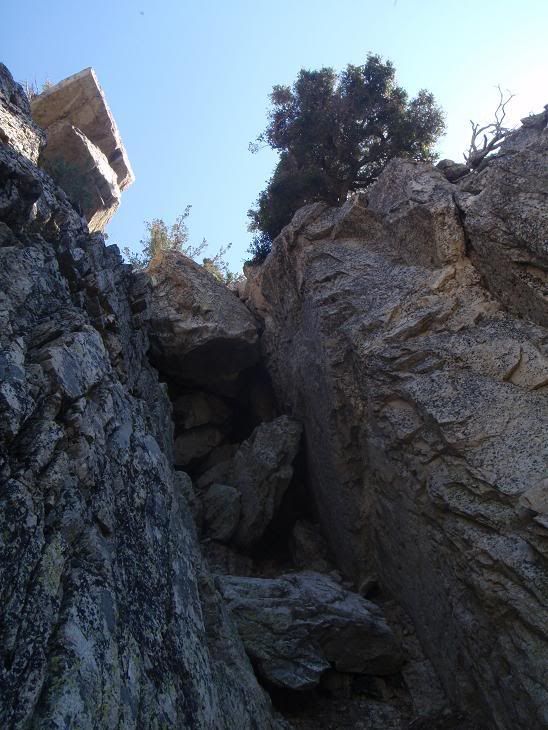
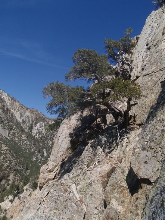
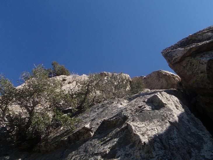
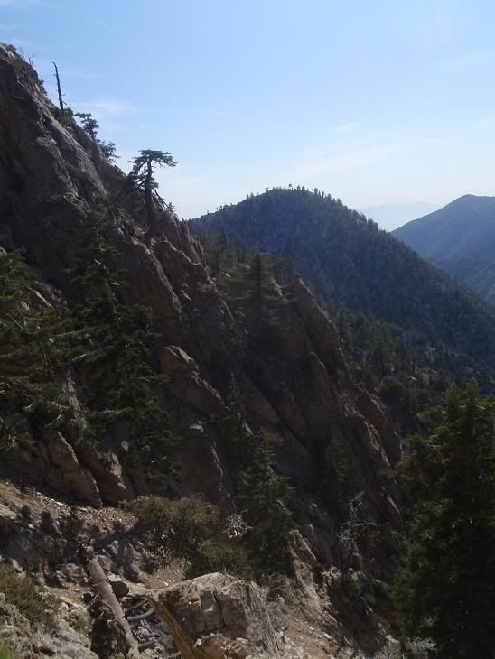
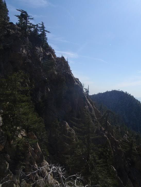
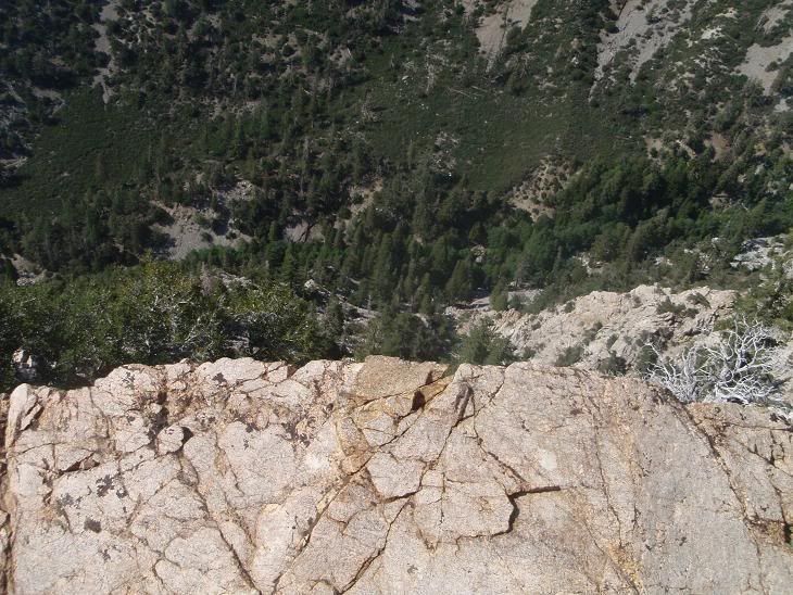
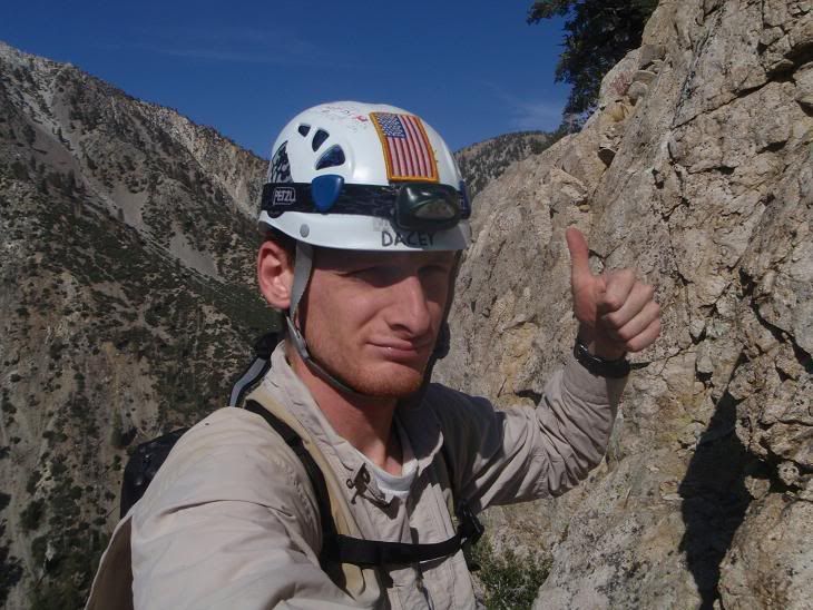
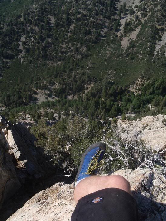
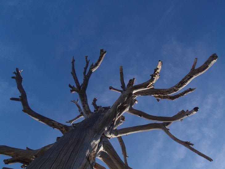
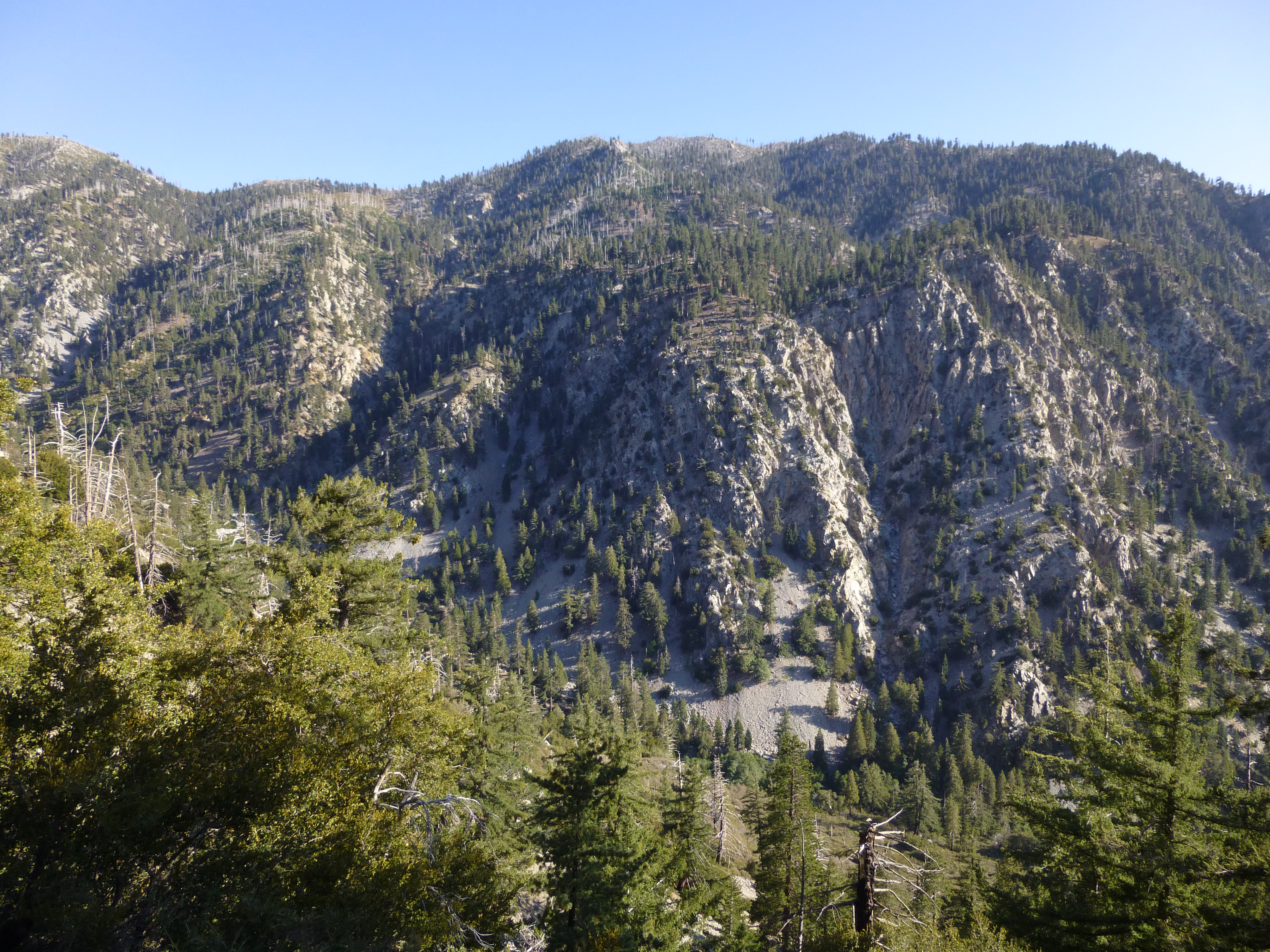
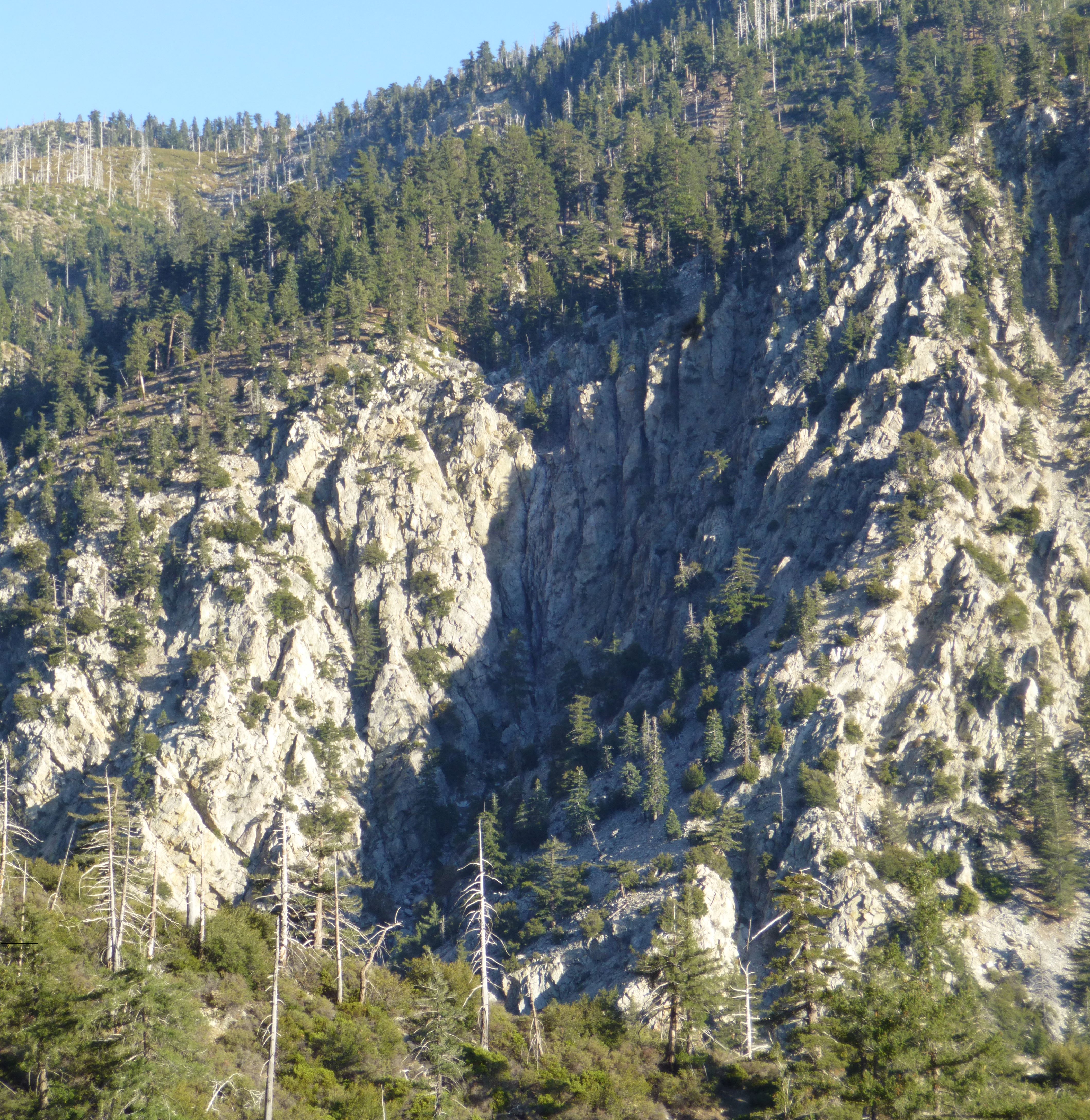
Sheep Canyon has a bigass 260ft or so headwall which I went to go check out. I'm going again. The rock quality is pretty damn good. Climbed up along the right side of the canyon itself, which is loads of fun, with scrambling and good solid class 5. Switching from trail runners into La Sportiva rock shoes made things 110% better, and I wasn't sketched the whole time, despite how cool the whole thing was. I highly suggest rock shoes for this route. If one chooses to protect it and grab a better line, small cams would come in handy, and if you're not a super-clean dude, pitons would be great. Most useful spots for pro are about 1/4 inches, up to Big Bro size. Lots of chockstones here (all are as big as a small car), and some good natural anchors, mostly strong bushes, but I wouldn't count on any of these, or trees, or rock horns, or whatever.
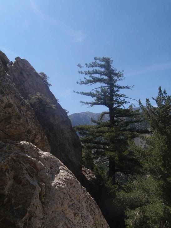
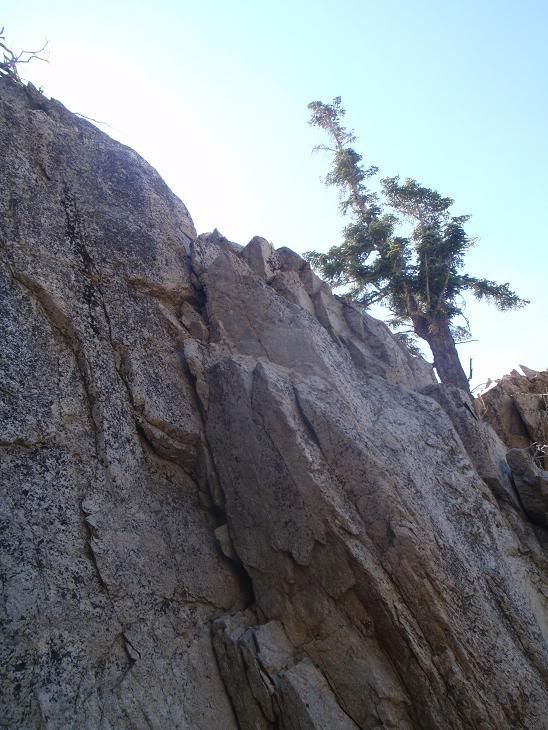
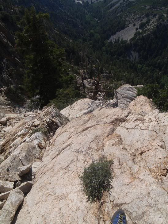
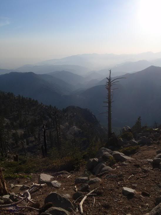
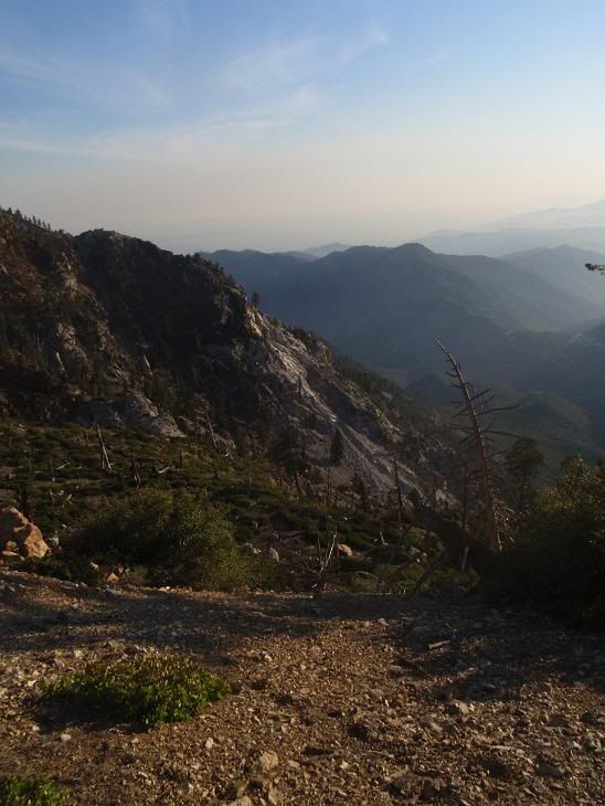
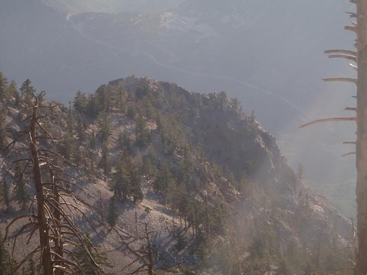
Anywho, refreshing real rock climbing up a very nicely exposed arete/ridge with bigass dropoffs either side. Loads of fun. Route tops out opposite Sheep Flat. Gonna do this in the winter as a good hard trad mixed climb, if I can get new tools that don't suck.
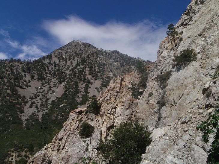
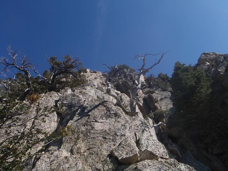
Changed back into runners, and hit the summit of Ontario for the first time in two years. New register, didn't recognise any names except for the Korean Radio Club deal.
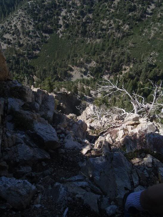
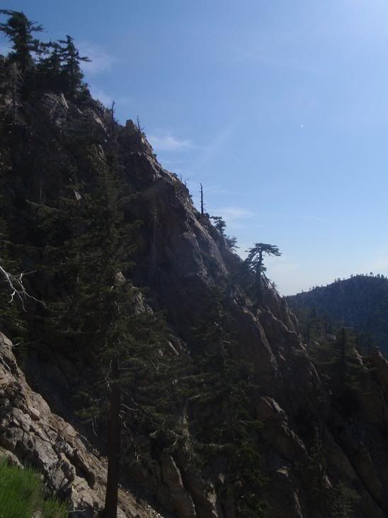
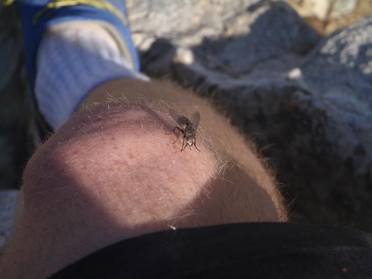
Headed down the ridge to Sugarloaf, which I didn't have the water or health to climb, so I headed down Falling Rock Canyon for the 800th time (figuratively speaking). The scree/talus on the upper part is horrible. Fine the rest of the way. Lotsa bugs all damn day.
Was out of water when I hit the trail and took the short hike back to the car. Drank boiling hot water out of my waterbottle in my car, then went to Baldy Lodge, where I drank two glasses of ice water rather quickly, felt sick, left, went outside, and threw it all up into the street. Drove home feeling much better though. Felt great afterwards.
Pictures, video, info later. Got a couple of projects lined up based off of what I saw. Lotsa cool stuff for those who like more adventurous rock climbing on less-than-spoiled-quality rock.