The pics below are from our ascent of Gobblers Knob (10,246') which sits in the Mt. Olympus Wilderness and straddles Big Cottonwood and Millcreek Canyons. There are multiple routes from both canyons to the summit of Gobblers Knob, but we opted for the trail up Butler Fork which begins about 8 miles up Big Cottonwood Canyon at approximately 7,100'. The trail ascends steeply from the canyon floor, swings into Mill A Basin, ascends to Baker Pass, and then climbs the ridgeline east to the summit. Once you reach Baker Pass, you're staring directly north into Millcreek Canyon. If you hike west from the Pass instead of east, you can ascend the ridge to diminutive Mt. Raymond (10,241'). If you get an early start of course, you can easily bag both of these peaks in one fell swoop. We didn't get an early start so we went for the peak with the additional 5 feet of elevation.
The thing that struck me the most was how freakin' green everything was. Mid-August and the wildflowers were still in bloom everywhere and plant life was crowding the trail. Very beautiful. Wish I had more time there to explore.
Total mileage is about 8.5 with roughly 3200 feet of gain.
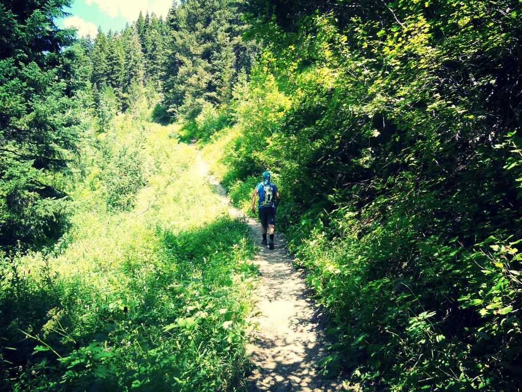
The trail just past the trailhead. You start climbing through amazing greenery immediately.
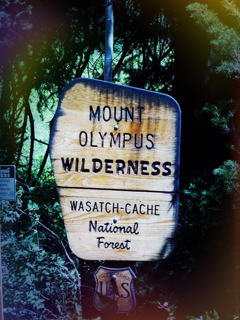
You enter the Mt. Olympus Wilderness within the first half mile of hiking.
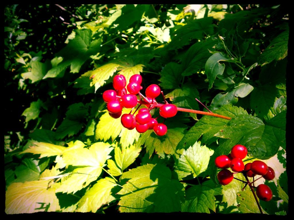
Don't know what this is, but these were plentiful along the lower segments.
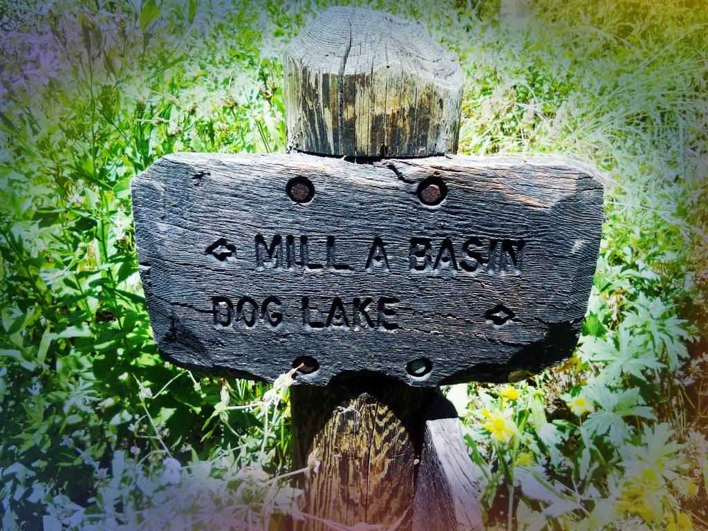
After a pretty good climb, you reach a ridge separating Butler Fork from Mill A Gulch. We're heading west toward Mill A Basin.
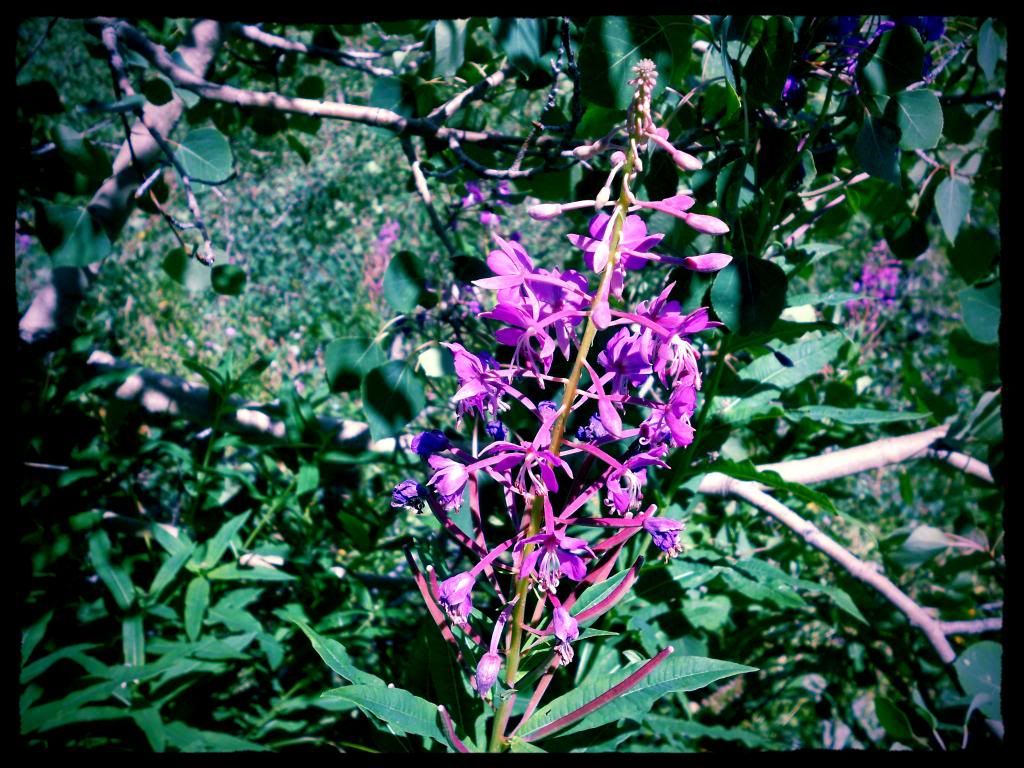
Wildflowers along the way.
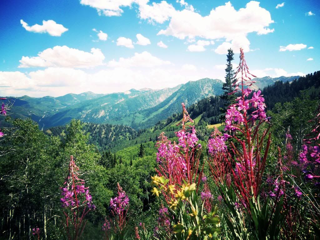
Looking east up Big Cottonwood Canyon from Mill A Basin
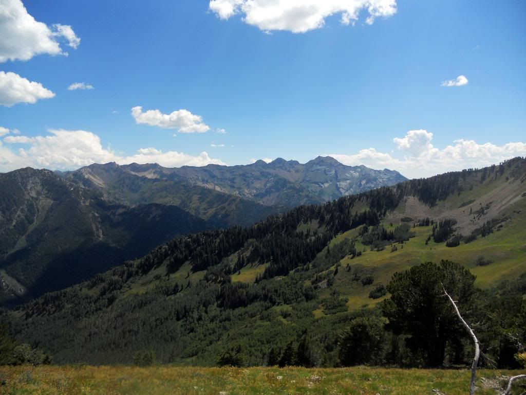
View south from Baker Pass. If I'm not mistaken, you're looking here at (from L to R) Superior Peak (11,132'), Dromendary Peak (11,107), and Twin Peaks (11,328' and 11,330'). The shoulder of Mt. Raymond is encroaching in the foreground.
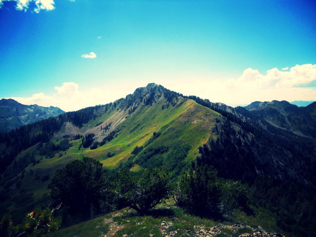
This is the view west of Mt. Raymond from the ridgeline that ascends to Gobblers Knob. Mill A Basin is to your left. The Salt Lake Valley is dead ahead behind the peaks.
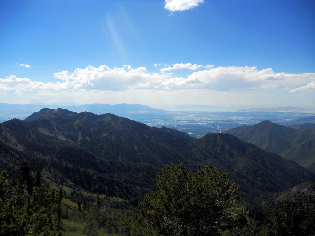
View west of the Salt Lake Valley from the summit of Gobblers Knob.
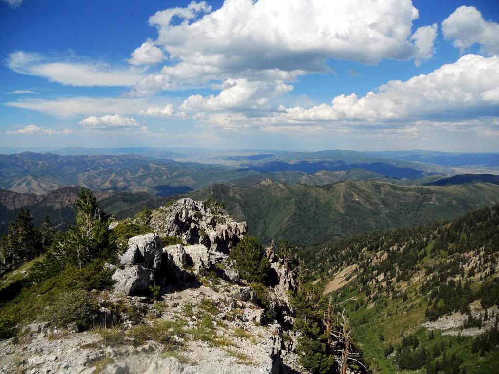 \
\View into the Alexander Basin from the summit of Gobblers Knob. Big Cottonwood Canyon is to the right; Millcreek Canyon is to the left.
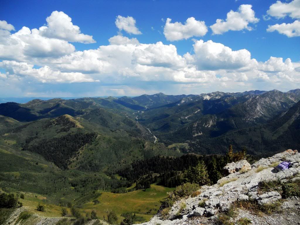
View east up Big Cottonwood Canyon from the summit.
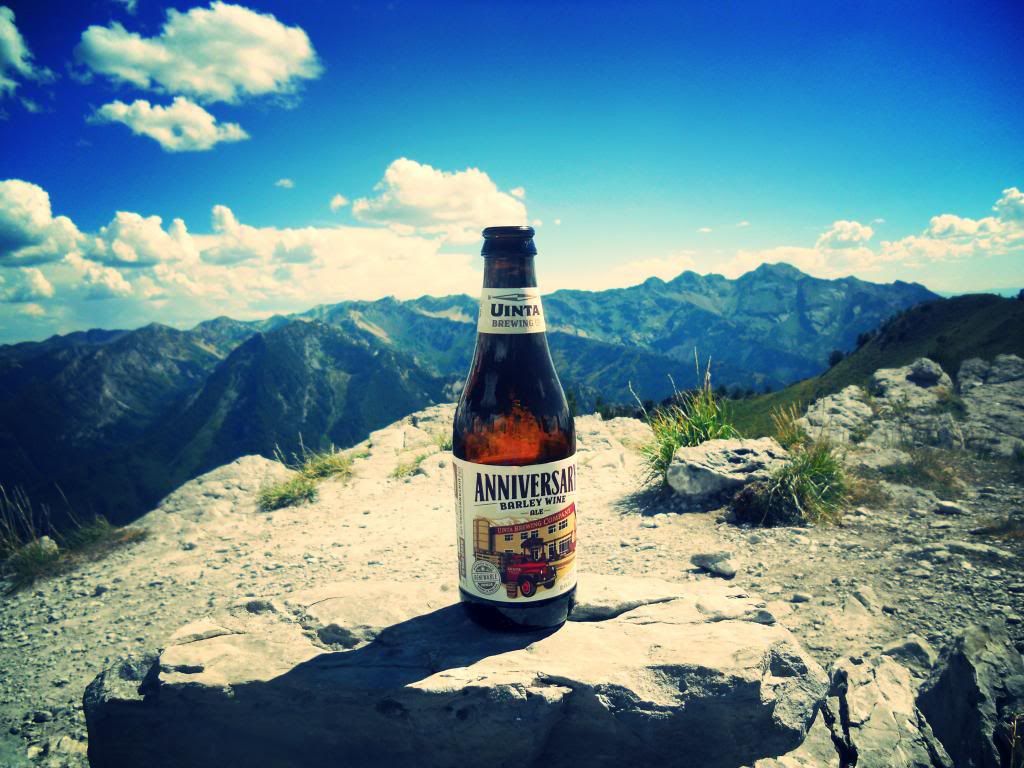
While in Rome...
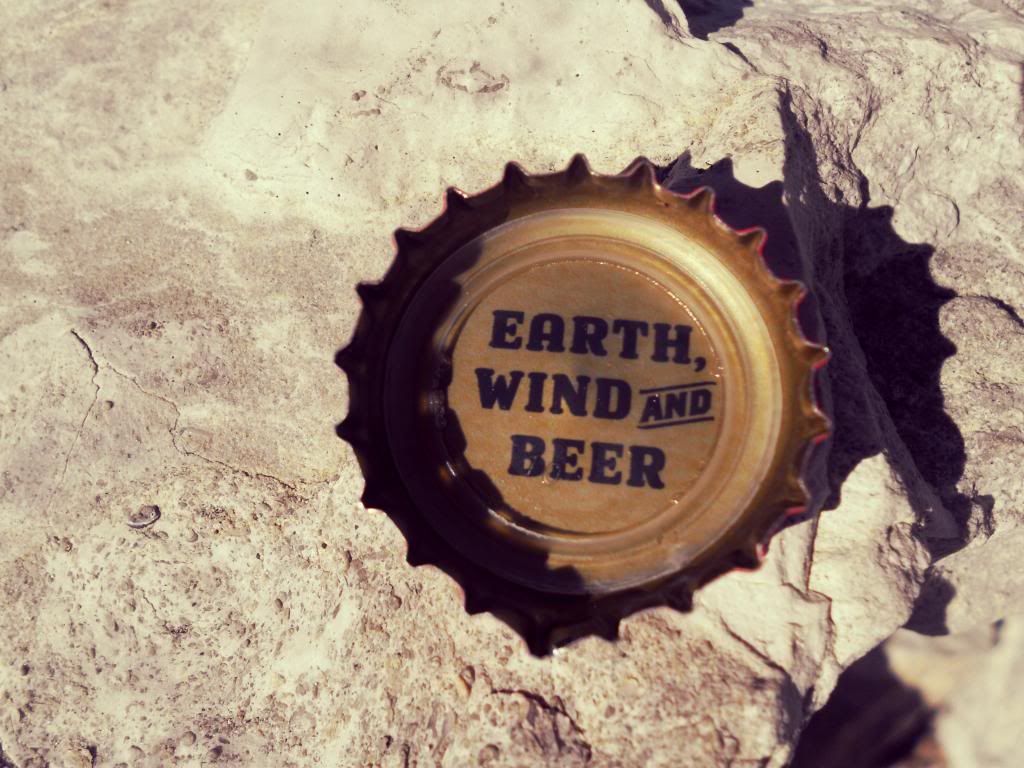
A motto to live by.
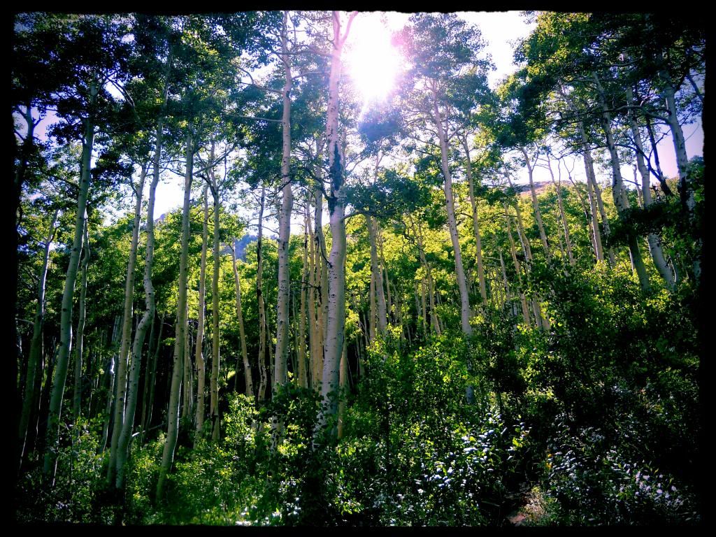
Aspen grove in Mill A Basin. The trail passes through several of these groves.
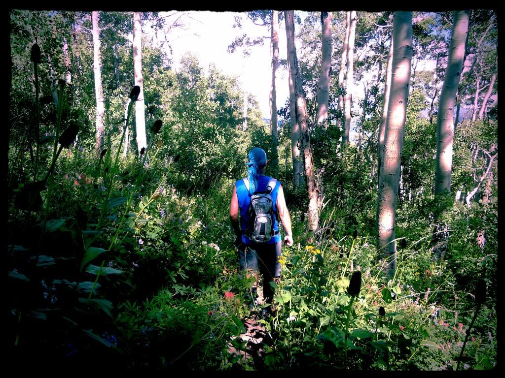
Heading down thinking about garlic burgers and beers at the Cotton Bottom.
The End.
