
Now for the longer trip report:
Living in San Diego, I don't get up to the ANF as often as I'd like, but if I'm going to drive three hours it won't be for a mere day hike. An overnighter is called for. Just the same, this trip wasn't much more than a long day-hike with a long break when it got dark. In other words, sleeping in a tent broke up the driving, so it was all good.
As it turns out, since early spring of this year my wife and I have been doing various sections of the PCT, mostly down in our neck of the woods. But there isn't much shade down here, the weather has turned hot, and water is hard to find, so we looked a bit further up the PCT and decided that good old Little Jimmy fit the bill.
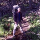
On the advice of Hikin' Jim, we started our hike not at Islip Saddle but at Little Jimmy Road (the service road to Little Jimmy) where there is a locked gate and a parking spot along the ACH.
Climbing 700 feet up the hill on Little Jimmy Road.
We turned left on the PCT where the road intersects it.
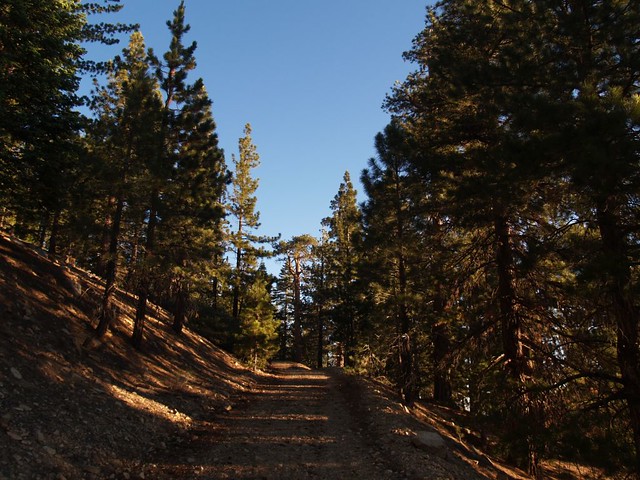
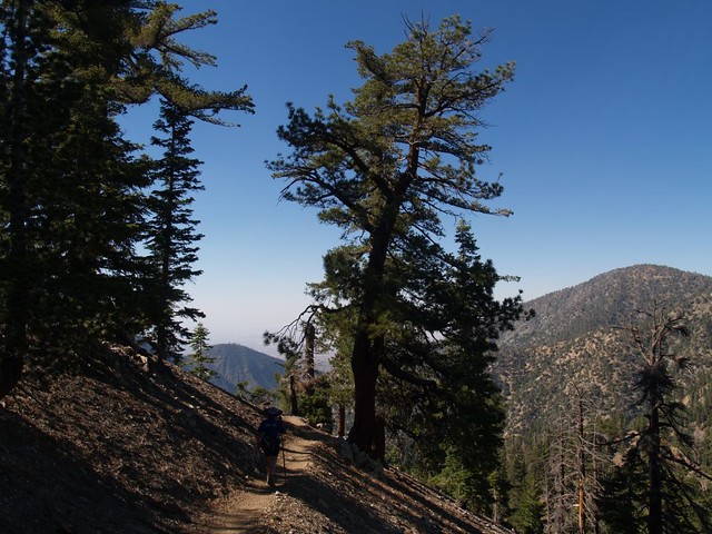
Early morning light on the PCT. Heading toward Little Jimmy Campground.
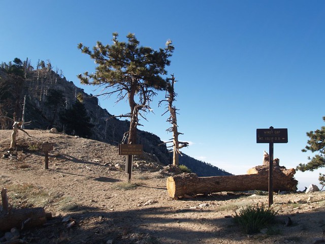
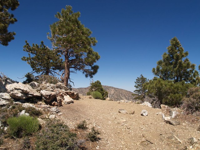
We skipped Little Jimmy completely, then hung a right at Windy Gap and headed uphill toward Mount Islip.
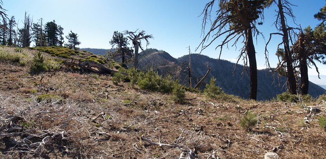
We thought about camping on this flat saddle-like area not far from the trail
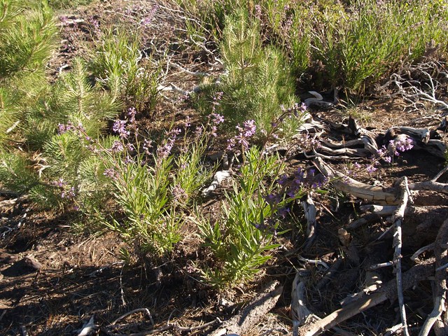
but we found a large patch of flowering Poodle Dog (Turricula) nearby so looked elsewhere for a campsite
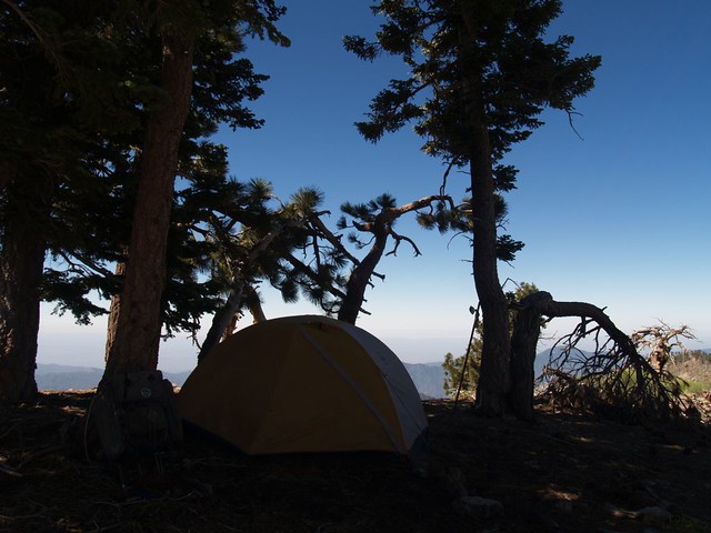
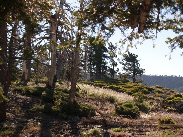
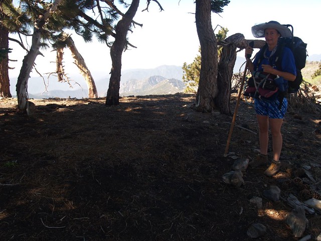
We found a nice shady spot on a "peaklet" of the ridge with great views in all directions.
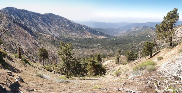
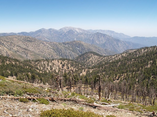
Nice view over the Crystal Lake Recreation Area.
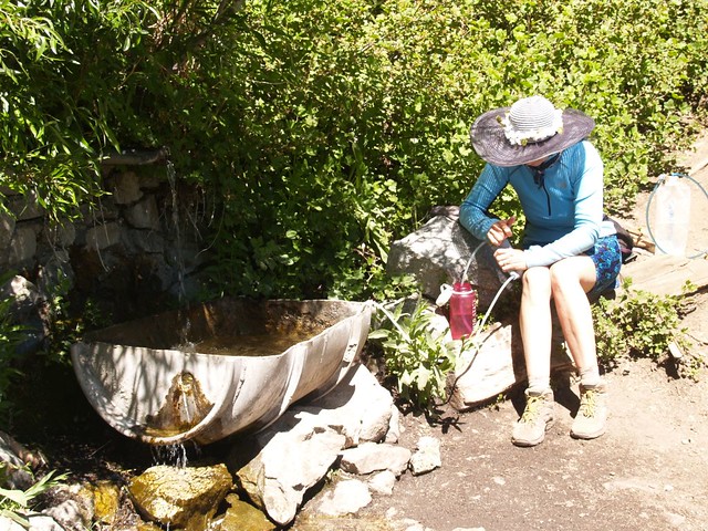
For our day-hike we needed more water. Little Jimmy Spring was running well.
Click here to see a video of the water flow rate (June 22, 2013) at Little Jimmy Spring
Looking back at Mt. Islip as we climb toward Mount Hawkins from Windy Gap.
Zoomed-in view of Mt. Islip. We camped on that knob dead-center of the photo.
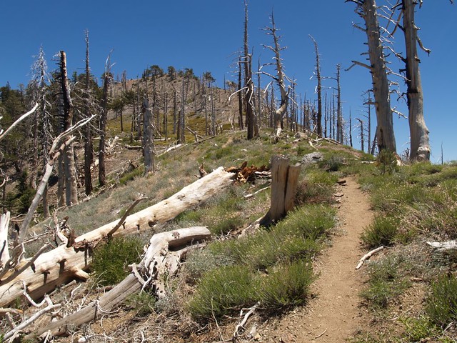
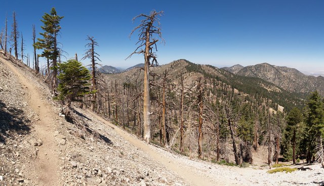
Looking up at Mount Hawkins from below on the west ridge - far too many dead trees.
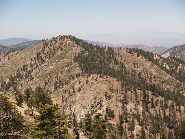
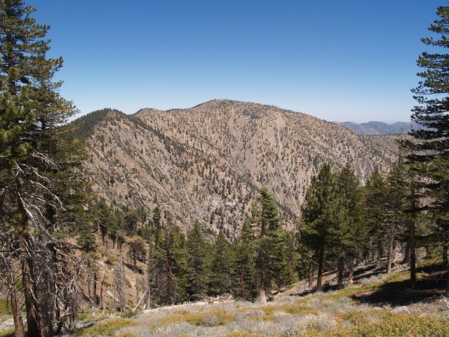
Pine, Dawson, Baldy, Cucamonga, Ontario, and Iron from the ridge between Hawkins and Throop Peak.
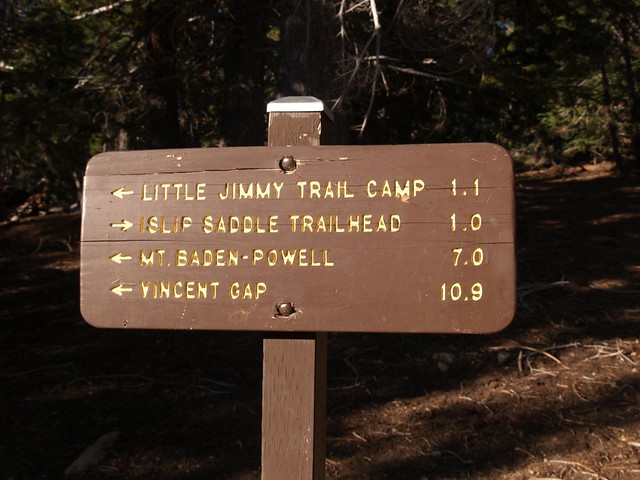
We ran out of time, so we didn't hike onward to Mount Burnham and Mount Baden-Powell. But we wanted to.
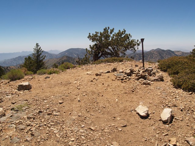
We decided to turn around, but not without bagging Throop Peak. Summit photo.
On the way back we also bagged Mount Hawkins, which was much easier from this direction. Summit photo.
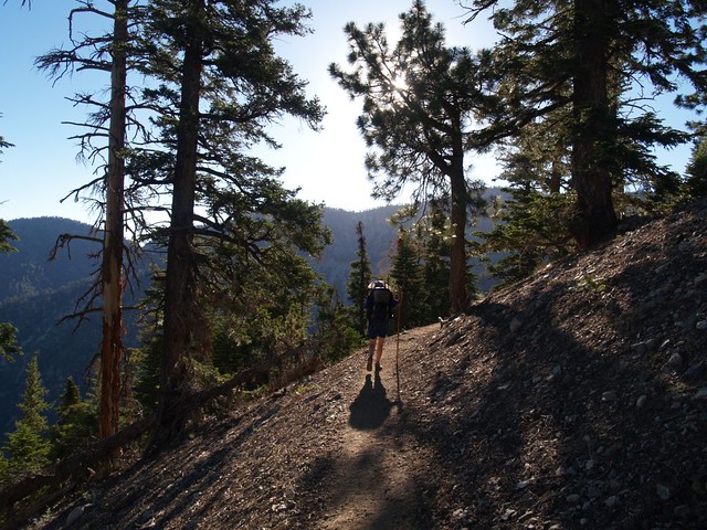
Easy downhill trail all the way to Windy Gap.
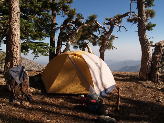
Back to our tent, warm and cozy in the late afternoon sun. Time to get out of those sweaty clothes and have some dinner.
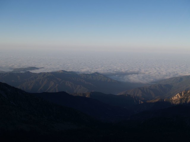
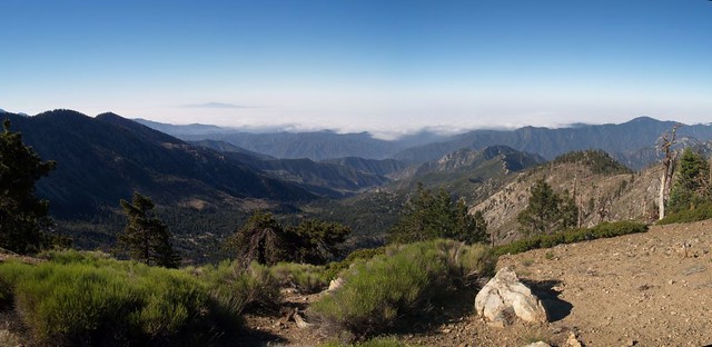
Early morning, looking down at the marine layer clouds over Los Angeles.
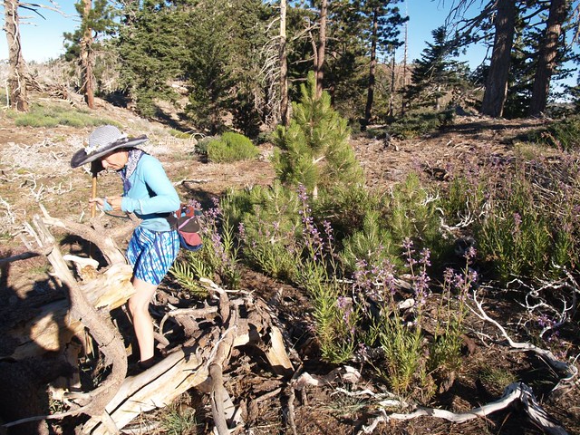
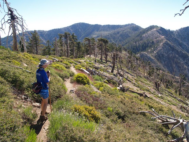
Carefully avoiding the patch of Poodle Dog Bush as we set out to bag Mount Islip.
Zoomed-in view of our tent and campsite on the west ridge of Mount Islip. Can you see the tent? Can you recognize the lovely patch of purple flowers shining in the sun? Yes, it's the dreaded Turricula.
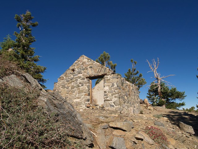
Old stone hut on the summit of Mount Islip
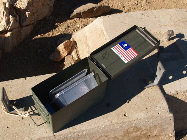
Summit register on Mount Islip, with obligatory eispiraten sticker. Throop and Hawkins had no registers, sadly.
Panorama view south of the Crystal Lake Recreation Area from the summit of Mount Islip.
View east from the east ridge of Mount Islip toward Throop Peak and Mount Hawkins.
Our clean campsite - Leave No Trace!
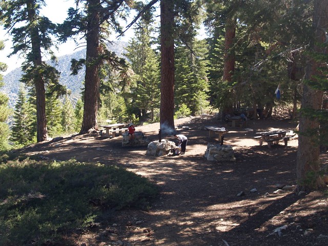
Hiking out through Little Jimmy Campground. The Boy Scouts had already left camp, so it was quiet and peaceful once more.
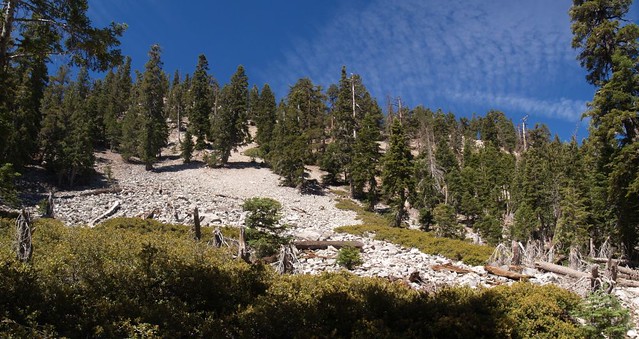
Hiking out on Little Jimmy Road. No trip would be complete without seeing a classic example of a San Gabriel scree slope!
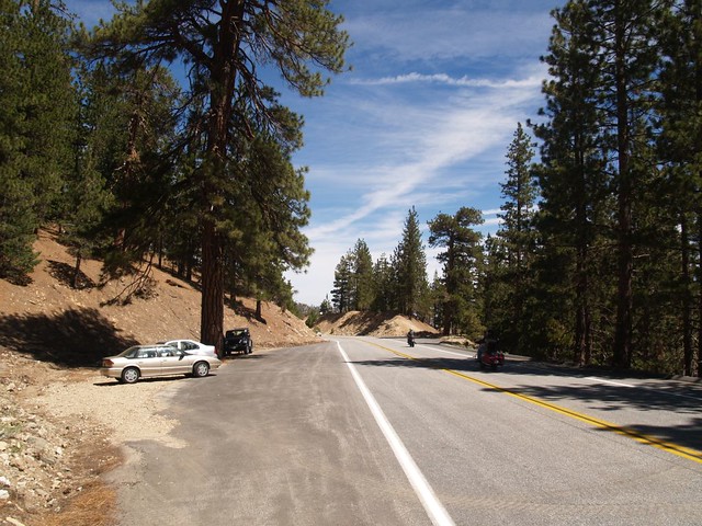
Back at the car at the pullout on Angeles Crest Highway near Little Jimmy Road. We heard motorcycles all day long from the trails on this hike. They love this road. But at least they stayed home at night.
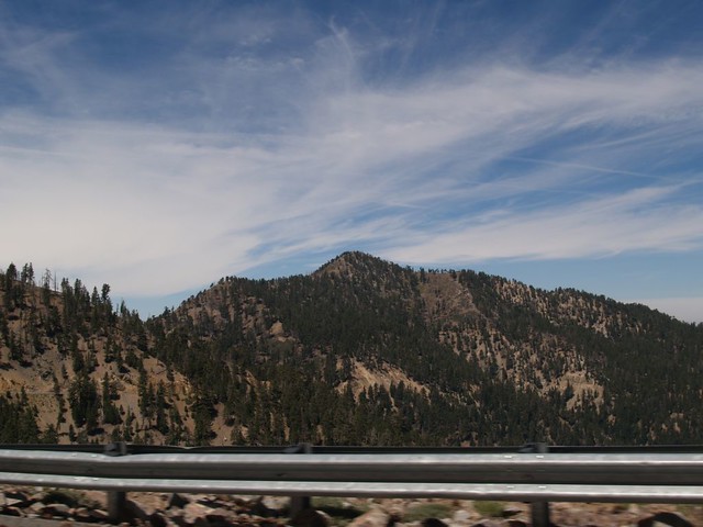
One last view of Mount Islip (center) from the ACH just west of Dawson Saddle. Our campsite was on that knob to the left. Great spot! But you had to climb to get to it. BTW: Don't camp up there if it's windy, unless you've got good tent stakes and some earplugs!
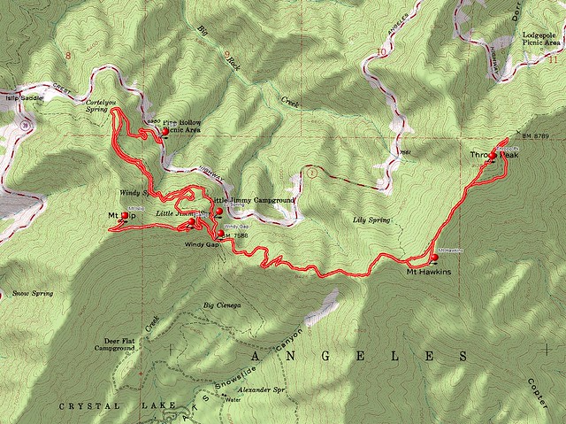
Topo Map of the hike.
The rest of my photos from this trip can be seen on my Flickr Page
And, for Hikin' Jim, an Acme Mapper link for our trip.
This post dedicated to HikeUp, who rightly claims that any and all hikes must be accompanied by a Trip Report, or DOOM shall fall on the guilty!

