

I parked the Jeep at the Sulphur Springs gate at 0555 and headed off down 5N04. Three of the things I love about this area are the big open spaces, dearth of visitors and beautiful views. I reached the spot where Turtle and I exited Little Rock Creek, and headed up-canyon for a bit less than a mile before deciding that the search would likely be unproductive. This stretch of LCR that was bone-dry in September, was a beautifully flowing stream on Saturday. The hike was mostly gentle boulder hopping in a weak attempt to keep the feet dry.
I next headed back up 5N04, dropping in and crossing Little Rock Creek near the junction of Winston Ridge and Squaw Canyon. I tried to stay in the rocky streambed, but gave up when I reached a tree-choked stretch that drove me high up one of Winston's STEEP buttresses. As I got high enough to see over the impediment, it became clear that I could have proceeded up Squaw fairly easily, although the view through to the Winston saddle was obstructed. Too much uncertainty to risk resuming that path. I continued the miserably steep and loose climb up to the western end of Winston Ridge.
Once atop Winston Ridge, it was a fairly simple matter of steering between the Poodle Dog bushes, then following the path to join the Pacific Crest Trail. The five segments between here and the car took me past Cloudburst Summit, Camp Glenwood, Three Points, then Sulphur Springs.
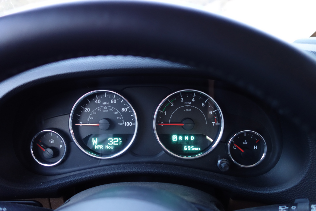
Outdoor air temperature near Sulphur Springs at 0555!
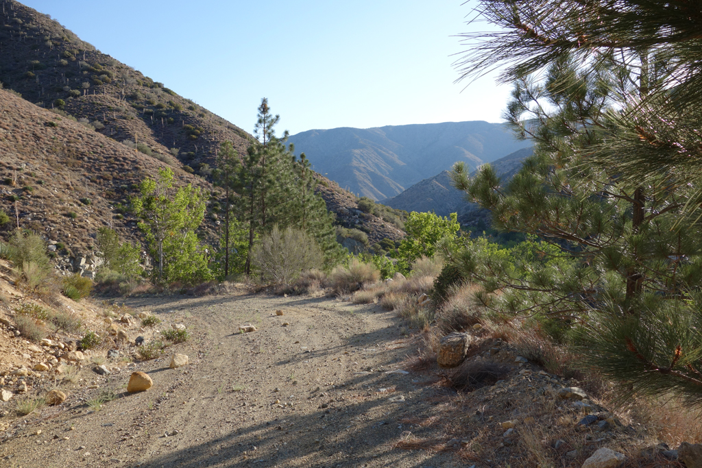
Looking towards Pleasant View Ridge as I meander down Little Rock Creek Truck Trail.
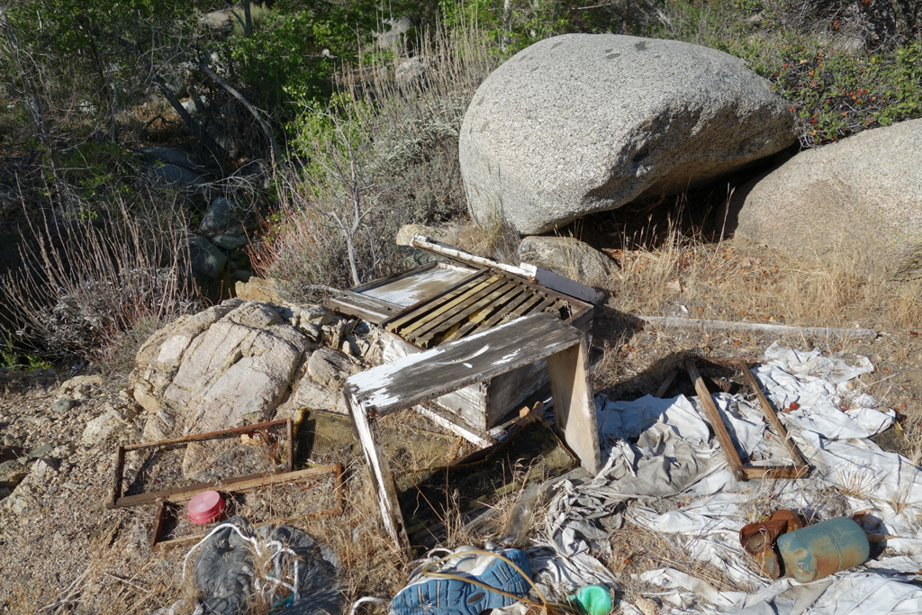
Winnie the Pooh's campsite? Just off 5N04 where Little Rock Creek turns north.
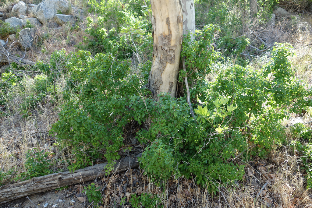
Streamside bumper crop of Poison Oak.
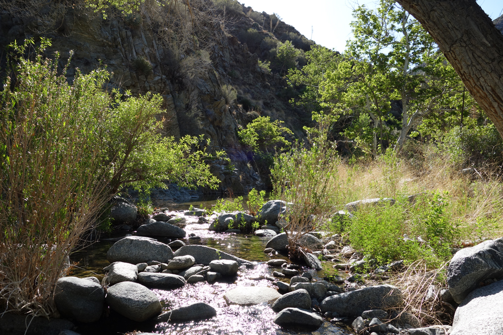
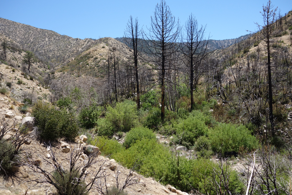
Bucolic scene looking up LRC.
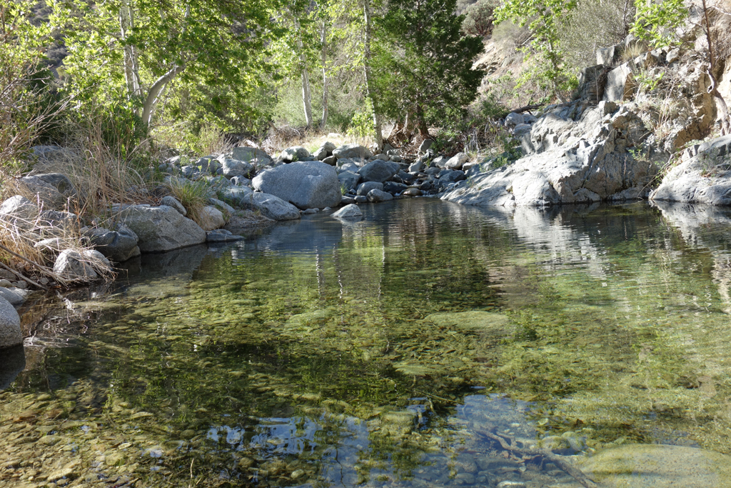
Beautiful clear pool a little ways up-canyon.

Another serene image along this stretch of Little Rock Creek.
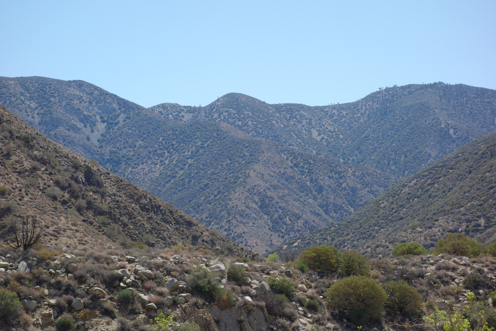
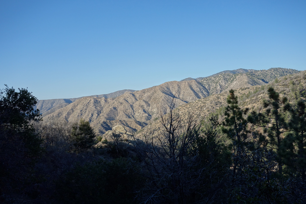
Will Thrall Peak, as seen from 5N04.
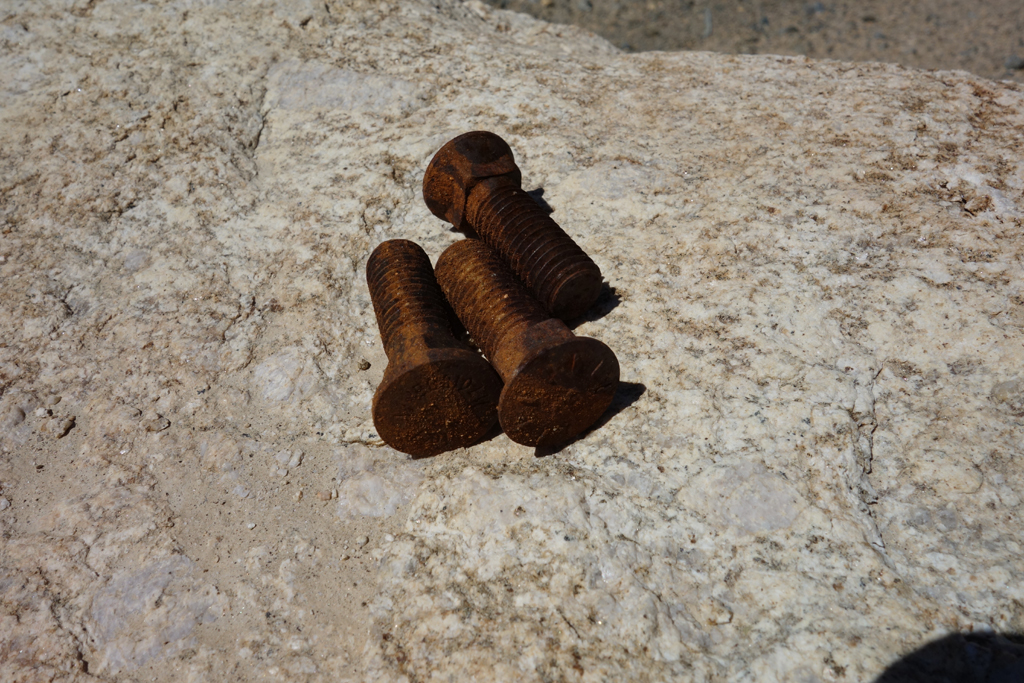
Attractive arrangement of plow bolts found set on a boulder.
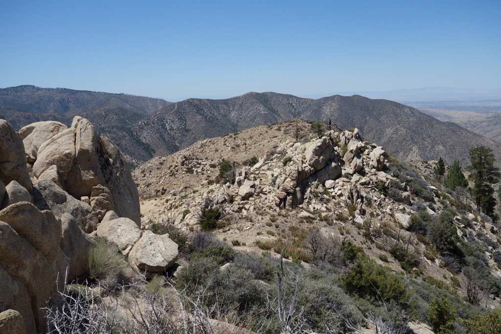
Unproductive route up to Winston Ridge.
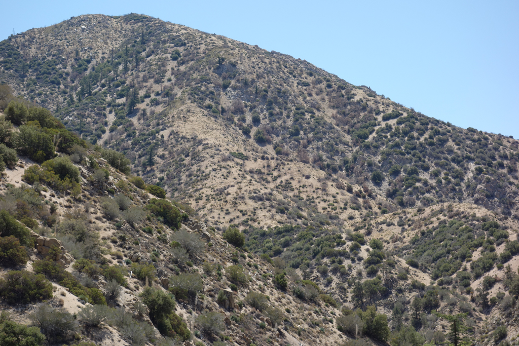
Winston Ridge, on the left.
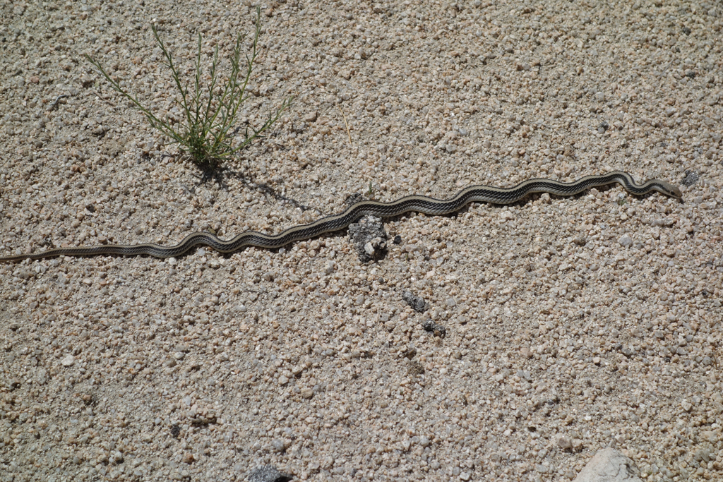
One of our reptilian friends sunning himself on the 5N04.
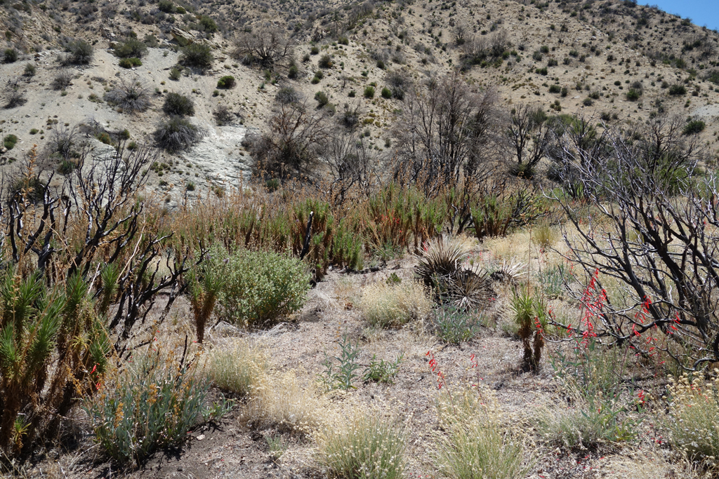
Still a lot of Turricula to be navigated around.
Squaw streambed starts to choke up, I head up Winston's slope.
Squaw starts to look downright passable, as I decide to continue up Winston.
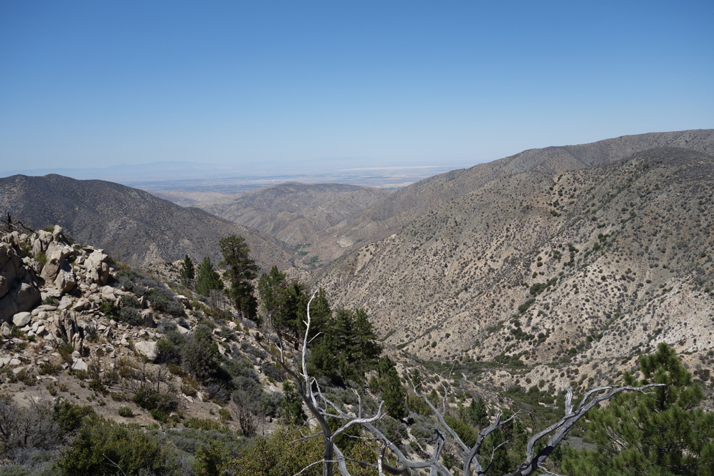
View west towards Pinyon Flat and Mount Pacifico from Winston Ridge.
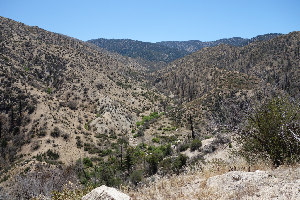
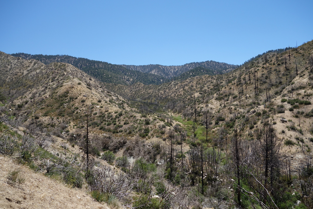
View down Little Rock Creek towards the dam.
View of Bare Mountain over a high spot on Winston Ridge.
Kennel full of Poodle Dog Bush. Fairly difficult to steer clear of in spots.
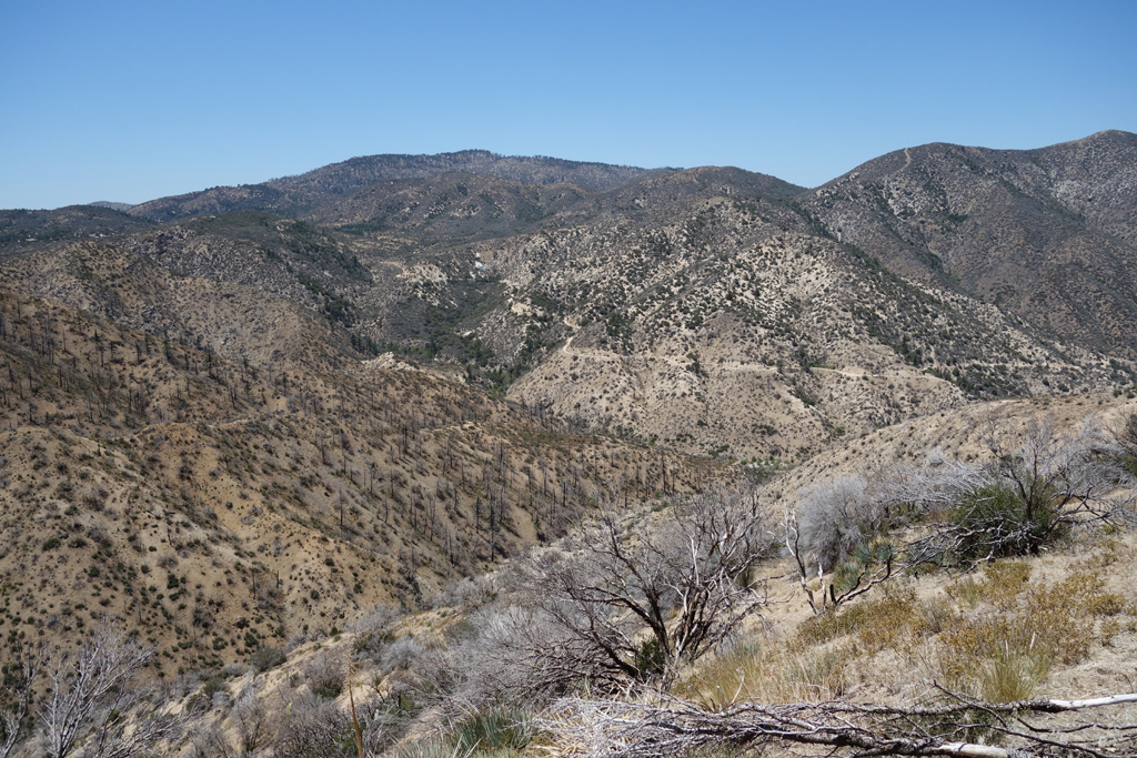
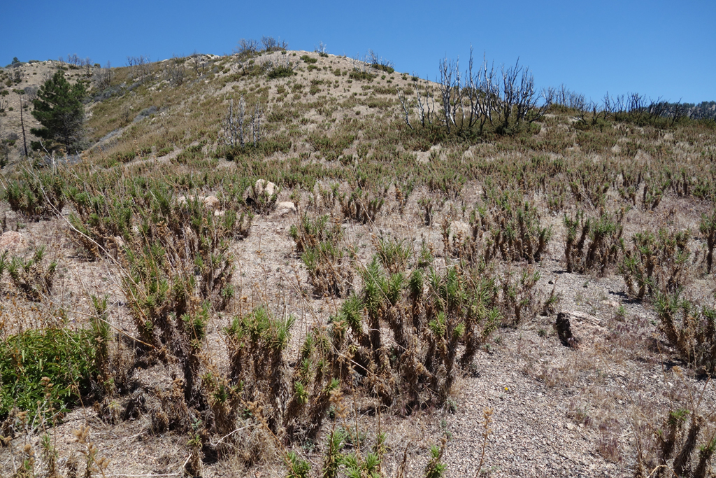
Stark boundary of the Station Fire burn area atop Winston Ridge.
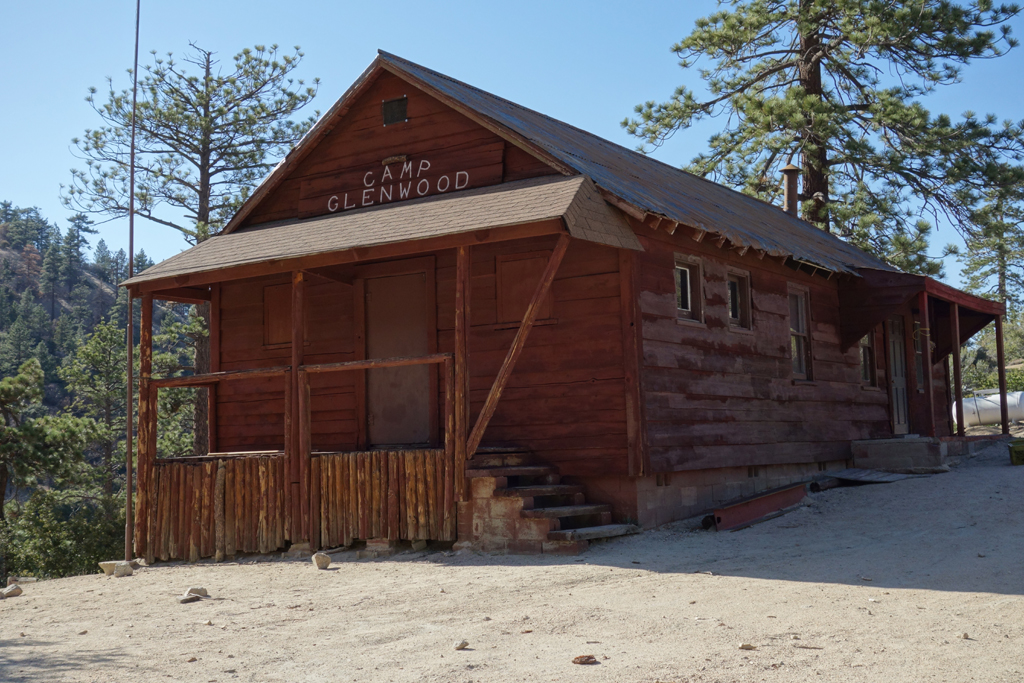
I've seen folks working on Glenwood recently. I think they have a ways to go.
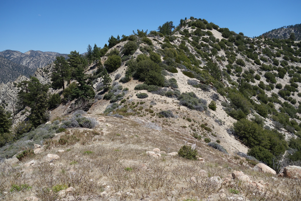
Winston Ridge, as seen from the PCT, north of the Three Points.
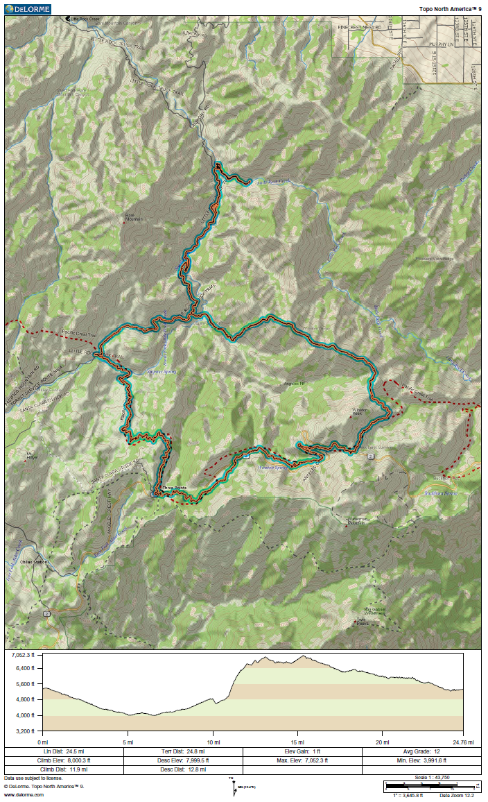
GPS and elevation plots of the day's trek.


