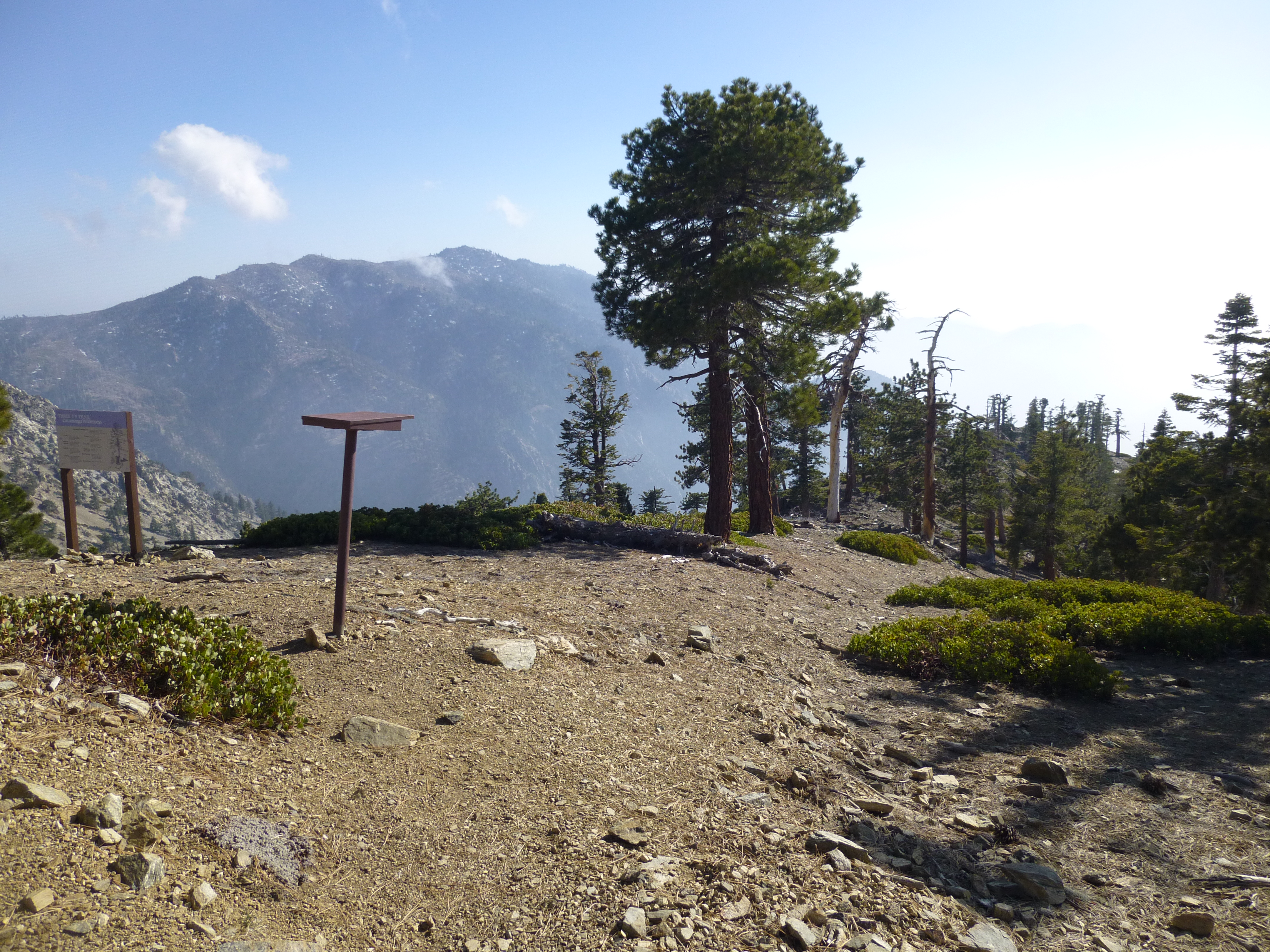
After an additional 1.4 miles up the fire road to Thunder Mountain and a quick sit-down at the ski lift, I headed westward down the ski slope to the Three Tees trail junction. Here the Tees dropped to the left toward Telegraph Peak, while the ridge continued descending straight toward whatever. In keeping with the plan, I chose whatever.
An old, semi-bushy roadbed ran along the ridgeside for 0.2 miles and then petered out. There were old signs saying I was outside the ski patrol boundaries. For the first 0.6 miles the ridge was okay, only a few moderately steep bits where I had to zigzag down and watch my footing. There were lots of trees and usually a use trail of some sort.
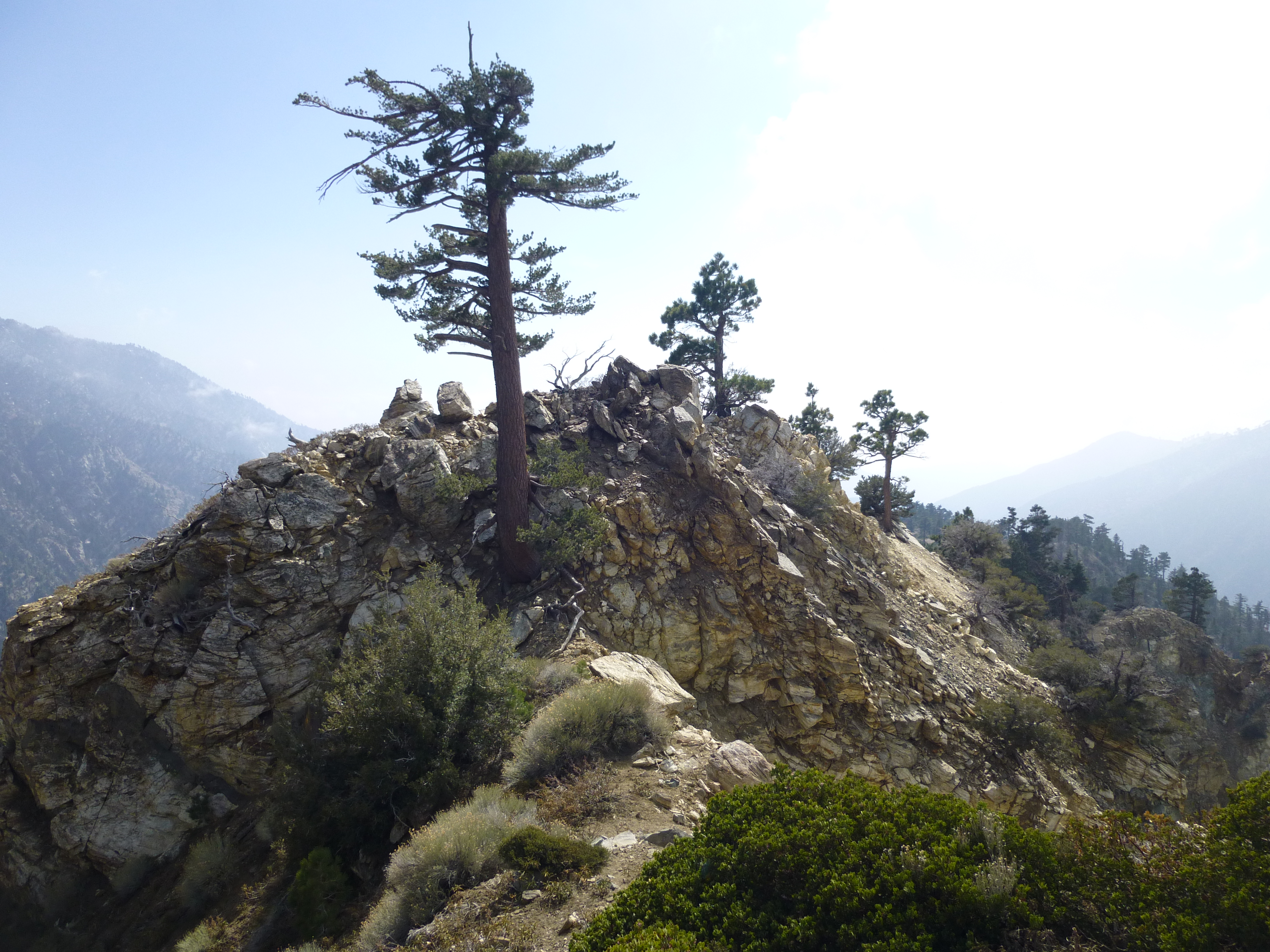
But then at 0.6 miles I hit a stretch of rockclimbing. I want to say it was class 3 because of the exposure. The cliffs here fall away super-rapidly. Losing one's balance or slipping in the wrong place will almost certainly result in a thousand-foot tumble and death. With that warning out of the way, there's nothing technical about the climbing itself. It took a little bit of route-finding though to figure out the easiest way through this section.
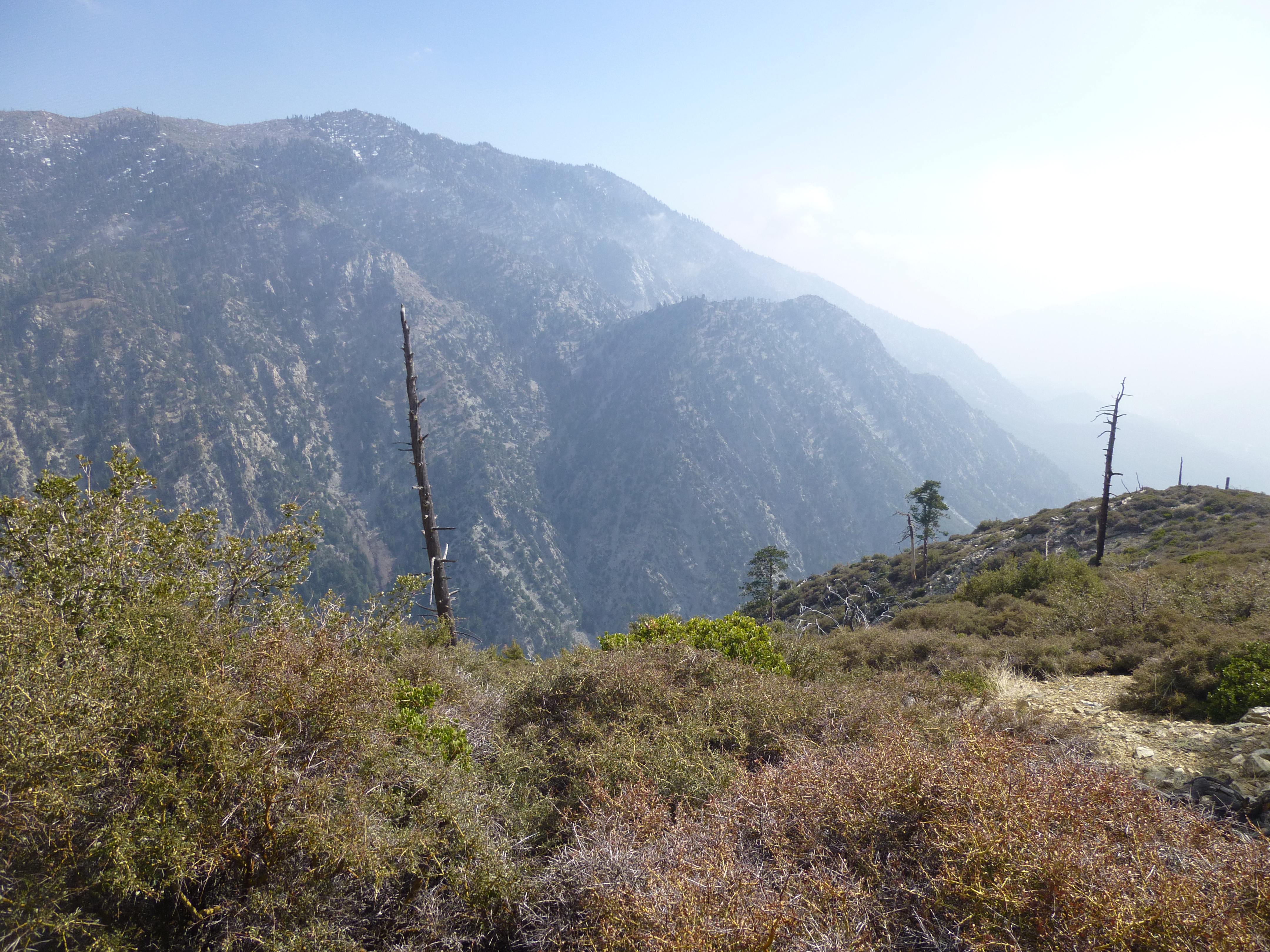
After the rocks, I continued down the ridge to Point 7480+, approximately 1.3 miles from the Three Tees trailhead. Much of the way there was a discernible use trail. The ridgetop offered splendid views of Cedar Glen on one side and Manker on the other. I got a great view of Falling Rock Canyon and Sugarloaf Peak. Beyond 7480+ I could see that the brush increased in density and the slope appeared to drop more dramatically. I don't know of anyone who does that last section to Icehouse Canyon, but I'll bet it's a real fun time.
The hour was getting late, and I wanted to grab a sandwich at the Notch, so I quickly yo-yoed back up the ridge.
Beginning down Thunder Ridge
Rockclimbing!
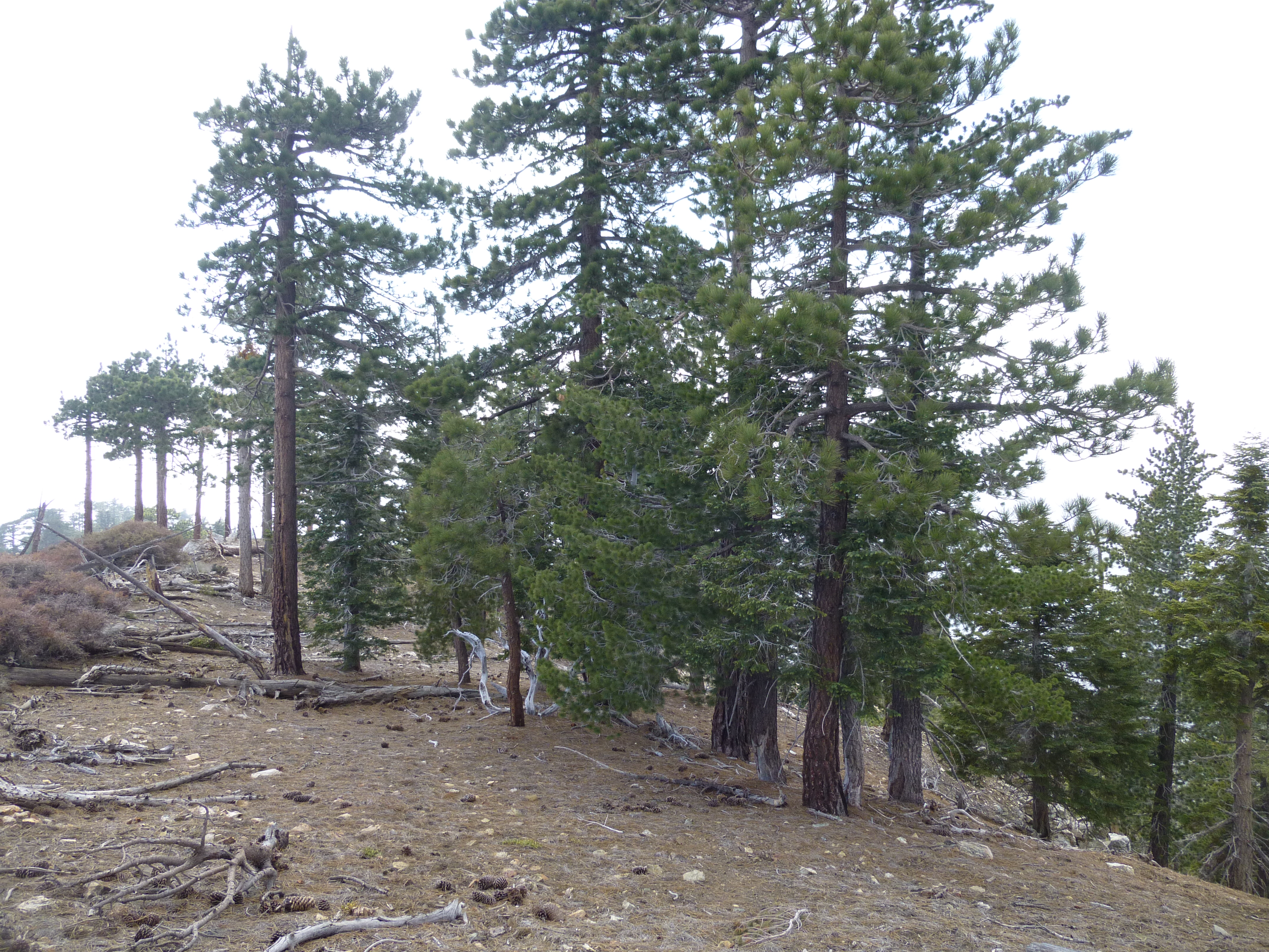
Tree-covered flat bit
View from Pt 7480+ with Sugarloaf Peak in distance
More rockclimbing! with Telegraph Peak in distance

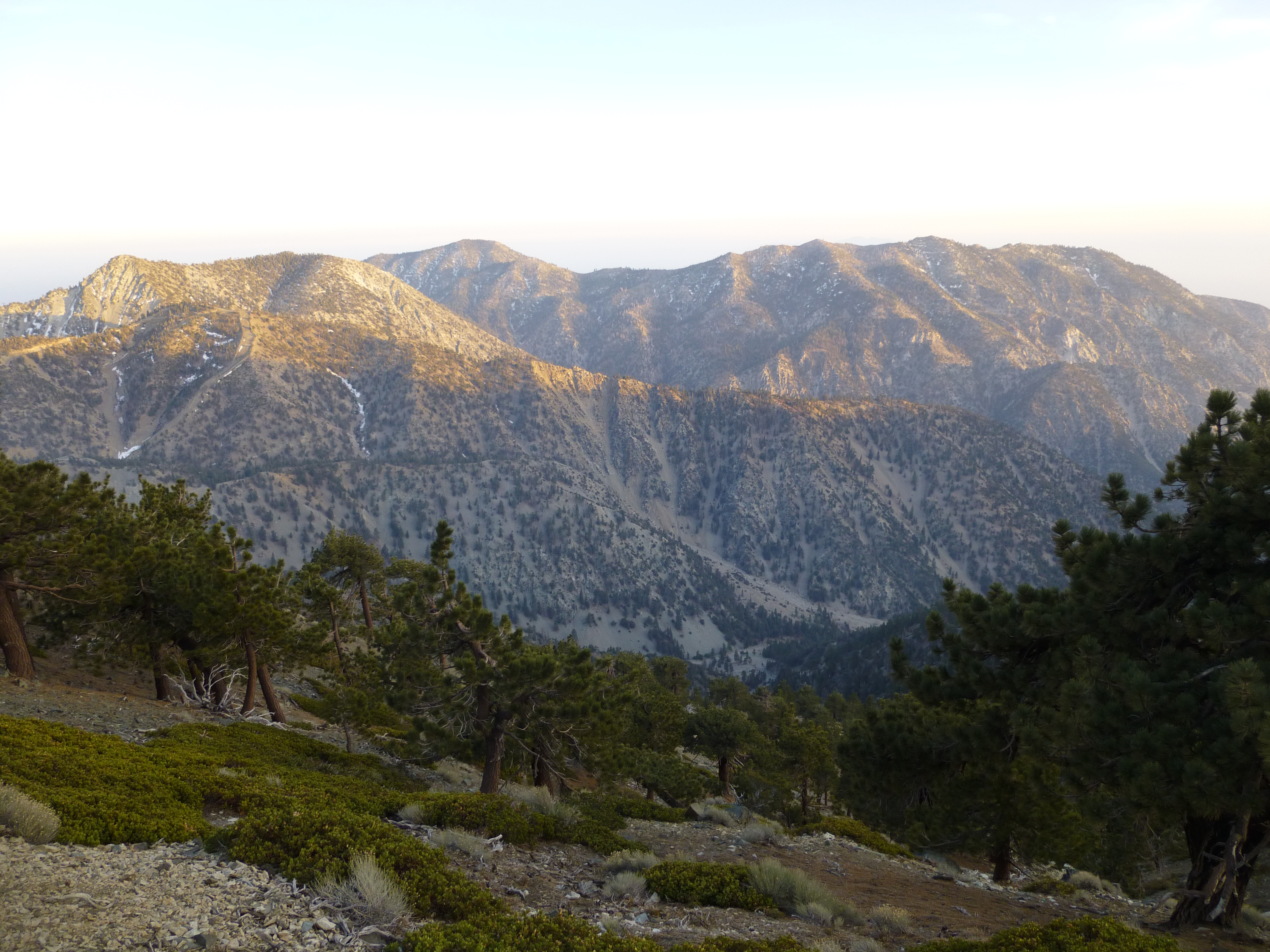
Thunder Ridge seen from the Devil's Backbone Trail.