East Fork San Gabriel river 9/24

TRs for the San Gabriel Mountains.
Post Reply
User avatar
AW~
Posts: 2040
Joined: Mon Oct 01, 2007 12:00 pm

Post by AW~ »

Started too early since I didnt bring any light...and got to the bridge as the shade was disappearing and temps were ramping up in a hurry. Up to Airplane Flats where the sun met me. There was a cool breeze though.

I got to peak 4775 3 hours from the river. I was aiming to see the old way they traveled this ridge to pass peak 6327, but again I was short on supplies. If only it weren't so steep around here and so hot. The vegetation has picked up a bit since 2 years ago although the fire here still was apparent.

Coming back, I had a plan of heading east along a secondary ridge to peak 4327 and down to the confluence of Iron Fork and the San Gabriel river. Going down to the saddle between the 2 peaks was a very narrow ridge with bushwack. I have no idea how the old timers did it back in the day, but to be on a mule and have that exposure on both sides is something else.

Perhaps the heat got to me and the steepness back down looked too steep, but I started following some clearance down towards Iron Fork. That started two and half hours of bushwack nightmare. Geez, last time I did this from a higher elevation it was only one hour :roll: One of the hours I only lost 200ft in elevation and perhaps avoided being stuck.

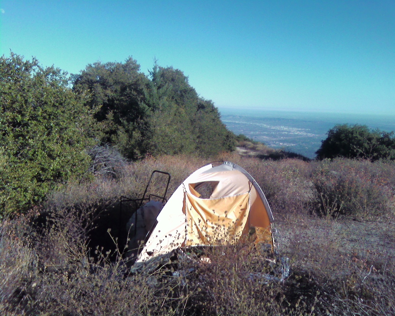
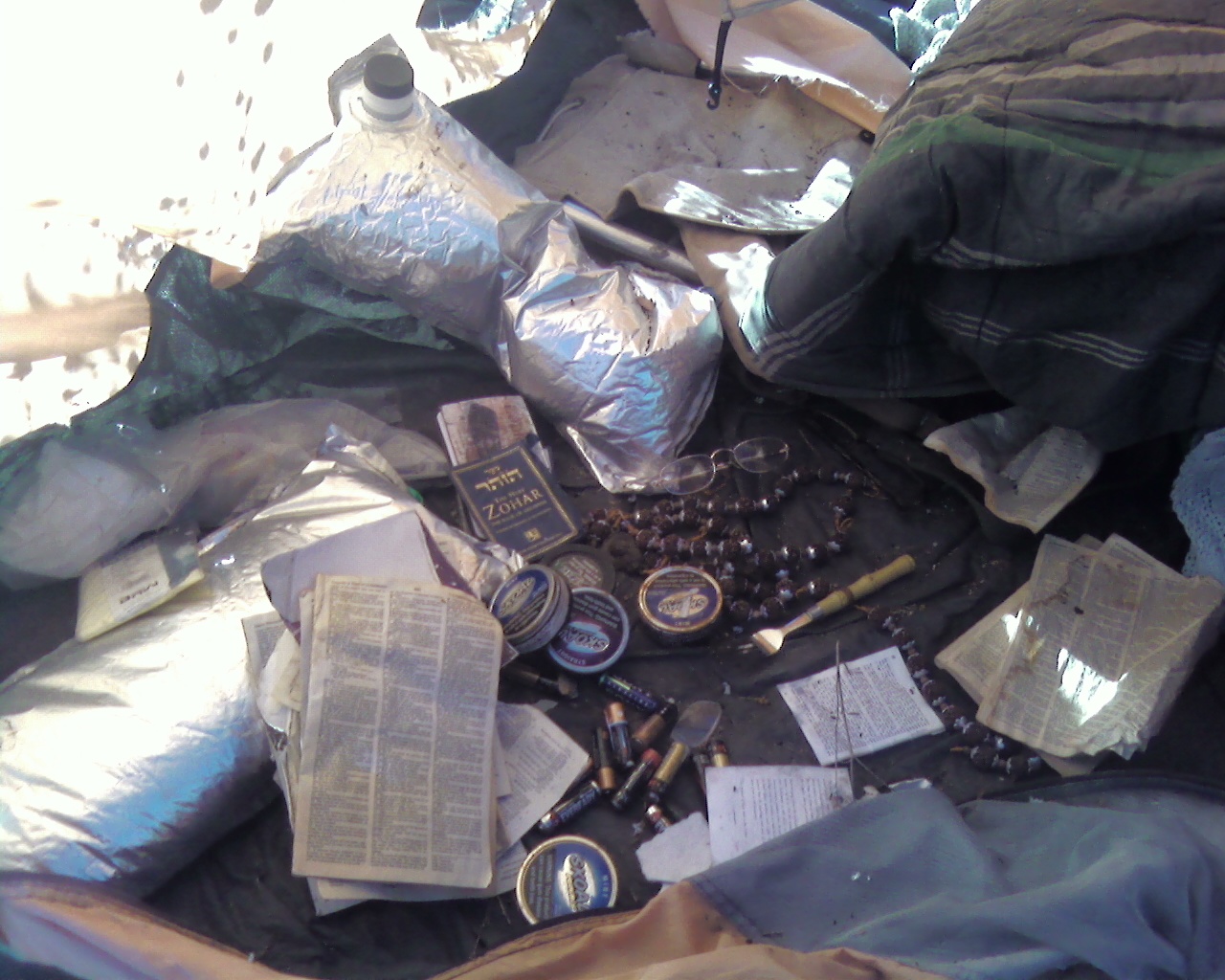
It was now past noon in the Iron Fork. I was set to cruise, but that bushwack has sapped a lot of strength. There was more trash here from the same camper and that pretty much ruined it. Looks like I missed him as usual by about a month or two. It wouldnt be a pretty confrontation anyway. Past Ross Moss Falls still flowing.

Back at Iron Fork camp, things went from bad to worse as it goes downstream. Fairly crowded, and trashed up(abadonment) the wazoo. They got their camping experience(thats all that counts) and its apparently too far to carry anything back. As the sun was going down, it was time to start the fires. Couldnt get out of that rathole of a river fast enough. Sped past colorized 8) and I have a knife bridge at Laurel Gulch. Past Heaton Flats in the dark again thankfully.

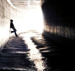
Someone lost? No water around here.
Image
Rattlesnake Peak,left, and the ridge to South Hawkins smoked
Image
Copter Ridge through Ross Mountain
Image
peak 6327
Image
Ross
Image
Pine Mountain ridge and Fish Fork
Image
As seen from near peak 4329, Iron Mountain lower elevation and Airplane Flats
Image
Semi freedom as the gully starts...Copter ridge and Ross
Image
Looking back
Image
I think this is part of an old trail here. It ends just upstream of the dayhike turn around point on the creek, well, it would if it wasnt landslided in at the end.
Image
Iron
Image
Bridge repair
Image
User avatar
Ze Hiker
Posts: 1430
Joined: Mon Jul 28, 2008 7:14 pm

Post by Ze Hiker »

nice :)
User avatar
Hikin_Jim
Posts: 4686
Joined: Thu Sep 27, 2007 9:04 pm

Post by Hikin_Jim »

Looks like some tough country with all that brush. I think I followed your route. I haven't been up as far as Iron Fork in quite some time. I need to get up that way again.

HJ
User avatar
Phil B
Posts: 101
Joined: Wed Oct 03, 2007 12:47 pm

Post by Phil B »

Nice pics, yeah you got into some serious hiking/bushwacking there. The ridge you pointed out Rattlesnake to South Hawkins has taken some major burns over the years as has much of the area, with the lack of tree cover it can get pretty hot hiking some of those areas.
User avatar
HikeUp
Posts: 3855
Joined: Thu Sep 27, 2007 9:21 pm

Post by HikeUp »

I'm thinking now is a good time to do the hike from Rattlesnake to South Hawkins, if you had been contemplating it. The recent fire probably cleared the hike from Shoemaker to Rattlesnake a bit too.

Excellent hike Adub!
User avatar
AW~
Posts: 2040
Joined: Mon Oct 01, 2007 12:00 pm

Post by AW~ »

Hikin_Jim wrote: Looks like some tough country with all that brush. I think I followed your route. I haven't been up as far as Iron Fork in quite some time. I need to get up that way again.

HJ
Pretty much. I only went to elevation 4800 on the ridge though. Disclaimer on going down to Iron remains the same:'Turn Back!!!!' but the thing Im now wondering is if there any good options.

"I need to get up that way again."
Thinking of the Stanley-Miller mine?:D I still dont know exactly where this is LOL.
User avatar
Hikin_Jim
Posts: 4686
Joined: Thu Sep 27, 2007 9:04 pm

Post by Hikin_Jim »

I've been to the Stanley-Miller. Once. And that was in the 80's right after I got out of the Army and could really hike. Now, I'm slower than molasses in January. Sigh.

It was difficult. I went up what is known as the "really stupid way" straight up from the river. It worked, and I found the mine, but it wasn't fun, even back then when as I say I was really in shape.

HJ
User avatar
Millennium
Posts: 3
Joined: Mon Oct 15, 2012 4:12 pm

Post by Millennium »

I'm not trying to suck up to anyone but...
If you remember the last time you were at Iron Fork, you probably noticed a bunch of broken sandals, a cut up 5 gallon bucket, hundreds of burnt cans, and two discarded torn up tents.

I love that campsite, I like to consider it my home away from home whenever I'm looking for solitude.

Longstory short I'm proud to say I got two five gallon buckets out of my stash and filled them full of trash back to the heaton flats dumpster to make the place a little nicer, managed to fit that disgusting yellow/purple tent too! There's still a few cans left north of the firepit and the blue tent south of the fallen log but those are on my list for next time.

I love exploring the area, i've tried the Wetwater trail from within the narrows but that shit gets airy and scary real fast and i'll be honest im not the best with heights. I've tried the trail you're talking about AW, or at least i think i know which one your talking about, but it got to be bushwhacking real fast. The one i'm talking about starts at Iron Fork right behind the Large Fallen Tree by the rock table, and then heads up the ridge west. I'm thinking that's the one because when i went up there two weeks ago for the view i noticed some fresh footprints and broken brush this time around.

blah blah blah i'm rambling, oh and also, hello everyone, i'm new to the forum!
User avatar
cougarmagic
Posts: 1409
Joined: Wed May 07, 2008 5:21 pm

Post by cougarmagic »

Welcome to the forum and THANK YOU!
Millennium wrote: I got two five gallon buckets out of my stash and filled them full of trash back to the heaton flats dumpster to make the place a little nicer, managed to fit that disgusting yellow/purple tent too!
User avatar
davantalus
Posts: 203
Joined: Mon Jun 08, 2009 9:09 am

Post by davantalus »

Whoah. A tidy little trip.

I'm curious what you wore, and what condition it returned home in.

Ever use gaiters? Poles? Machete? Katana? Front-end loader?


Millennium: You rock.
User avatar
Hikin_Jim
Posts: 4686
Joined: Thu Sep 27, 2007 9:04 pm

Post by Hikin_Jim »

Millennium wrote: i'm new to the forum!
Really? Feels like you've been here 1,000 years. :wink:

Ditto on the big thank you for doing some clean up in the back country. Some spots out there are just plain NASTY.

HJ
User avatar
David Stillman
Posts: 42
Joined: Wed Sep 05, 2012 5:33 pm

Post by David Stillman »

People suck. Last spring I ran across a campsite with two tents and miscellaneous gear abandoned, apparently storm related. I later found out that the people responsible for leaving all that gear had called the local USFS demanding their gear back. You need a license to go fishing but just about anybody can reproduce. Thanks for the TR and to the guy hauling out the trash-Stillman
User avatar
AW~
Posts: 2040
Joined: Mon Oct 01, 2007 12:00 pm

Post by AW~ »

davantalus wrote: Whoah. A tidy little trip.

I'm curious what you wore, and what condition it returned home in.

Ever use gaiters? Poles? Machete? Katana? Front-end loader?


Millennium: You rock.
My backpack(PVC) took almost all of the force, and remained unharmed. I didnt have any gloves or specialized clothes like the previous time. My shoes got out from Iron Fork in critical condition, although I think they were already suspect from Kings canyon granite.Plenty of short non-deep scratches on my hands too from not having gloves. Even though it wouldnt make the top 10 SG hellish list, its still misery. That side of Iron fork has a bit of all the confounding dense vegetation....buckthorn, deadwood thickets, poison oak vines, stinging nettle vines. Safe to say I wont be back.
User avatar
Sean
Cucamonga
Posts: 3782
Joined: Wed Jul 27, 2011 12:32 pm

Post by Sean »

In late August I found an abandoned tent up on Santa Anita Ridge. It appeared that someone went up there for a snuff-induced religious experience and instead found a hungry mountain lion.


Image


Image
User avatar
Hikin_Jim
Posts: 4686
Joined: Thu Sep 27, 2007 9:04 pm

Post by Hikin_Jim »

I pulled a tent and a bottle of bourbon (among other things) off Smith Saddle early this year. The tent was a big family tent. I can't imagine schlepping that thing up there, but there it was. Weird.

HJ
Post Reply