Took off on Wed morning for Chantry Flats and headed up towards Sturtevant Falls. After a quick view of the falls, I backtracked and met back up with the main trail towards Camp Sturtevant, which I had never seen before. Being that it was a Wednesday, I was alone on the trail past the falls. Not a single person until I was on top of Mt. Wilson. Alone as far as people were concerned, anyway. The bugs were ridiculous. I was swarmed if I stopped for more than 10 seconds. Face, arms, legs, all over. Nasty. So I just didn't stop. And that sucked, and made me tired.
It was better at the top of the mountain. There were quite a few people up there with telescopes and what not. I didn't stick around though, I just found the trail down towards Winter Creek and took it. The bugs weren't nearly as bad on that side of the mountain, but they were still there. I took lower Winter Creek through Hoagee's Camp and then back to the car. All in all, it took me about 6 hours to do, and I kept a moving average speed of just about 2.5mph for the day.
It's a pretty hike, but longer than I thought it was going to be. Darn near 16 miles with the detour to see the falls. Lots to see. The bugs really ruined it for me though. The trail is easy to follow through Sturtevant Camp, but on the Winter Creek side, coming down off of the mountain, there are a ridiculous amount of turns and forks that come up with no clear direction as to where they lead. The trail is well defined throughout and not difficult to find in the least. Just take the bug spray and enjoy.
Pics!
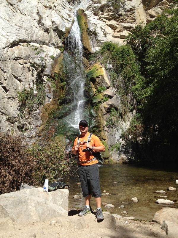
I actually ran into a buddy of mine at Sturtevant Falls who snapped this pic for me.
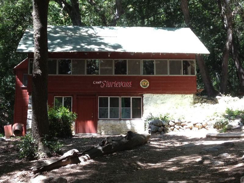
Kinda self explanatory...
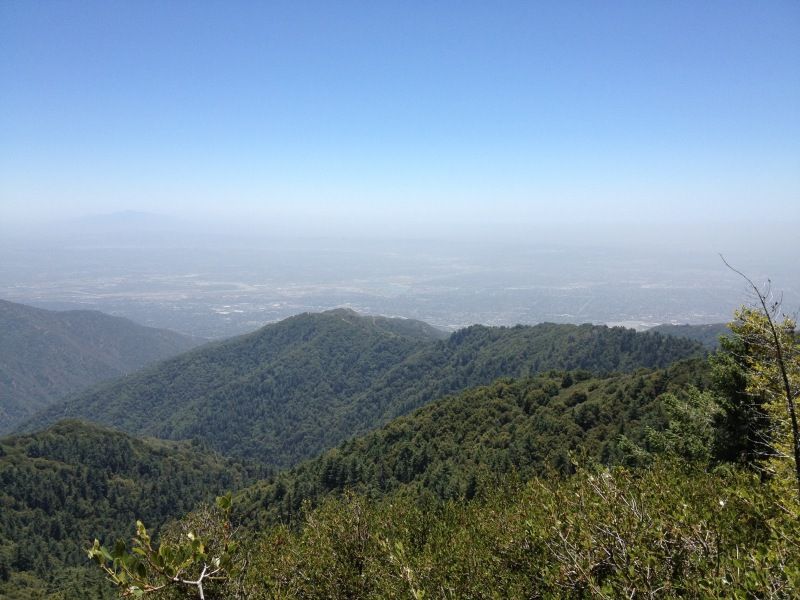
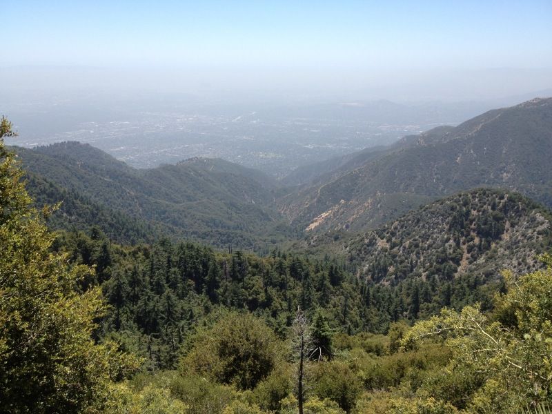
View from near the top.
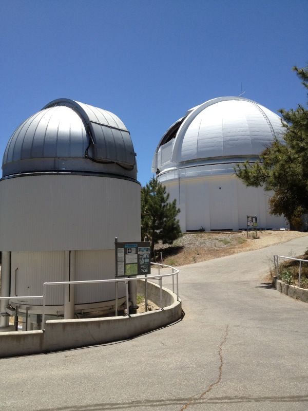
Some space viewing stuff.
Near the top on the way down.