Sunday morning, I parked at the end of the public portion of Acorn Drive up in Wrightwood and set foot for Old Baldy's summit. Despite a warm weather forecast, temperatures were pleasantly cool all day. I started up The Acorn Trail heading for Blue Ridge at 0700. The Pacific Crest Trail took me from Acorn to the head of 7W06.2, the north Devil's Backbone. The portion of the trail that divides Prairie Fork from Lytle Creek's north fork was devoid of meaningful snow. There were plenty of opportunities to bypass the sections of snow covering the balance of the trail up to Pine Mountain's summit. Similarly, it was easy to stay out of the snow by hanging west of the trail for a short stretch of the climb up Dawson. For the steep ascent up Mount Baldy, I donned crampons and axe, planning to ascend the snowfield that I had been eyeballing from the trail across Dawson. The snow turned out to be a bit soft for the crampons, so I intermittently chose dryer terrain. I reached the crowded summit of Mount San Antonio at 1300 and hung around for around fifteen minutes before heading back down. The soft snow was perfect for boot (crampon) skiing all the way down to the saddle. The return trip to Wrightwood was uneventful, save for some striking cloud shadows over sections of the high country.
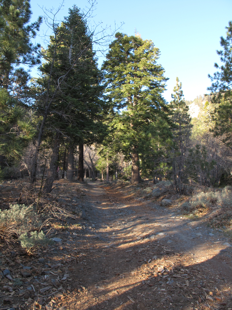
Dirt road between the end of Acorn Drive and the trailhead.
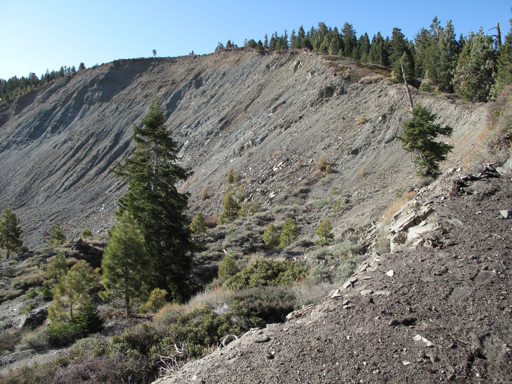
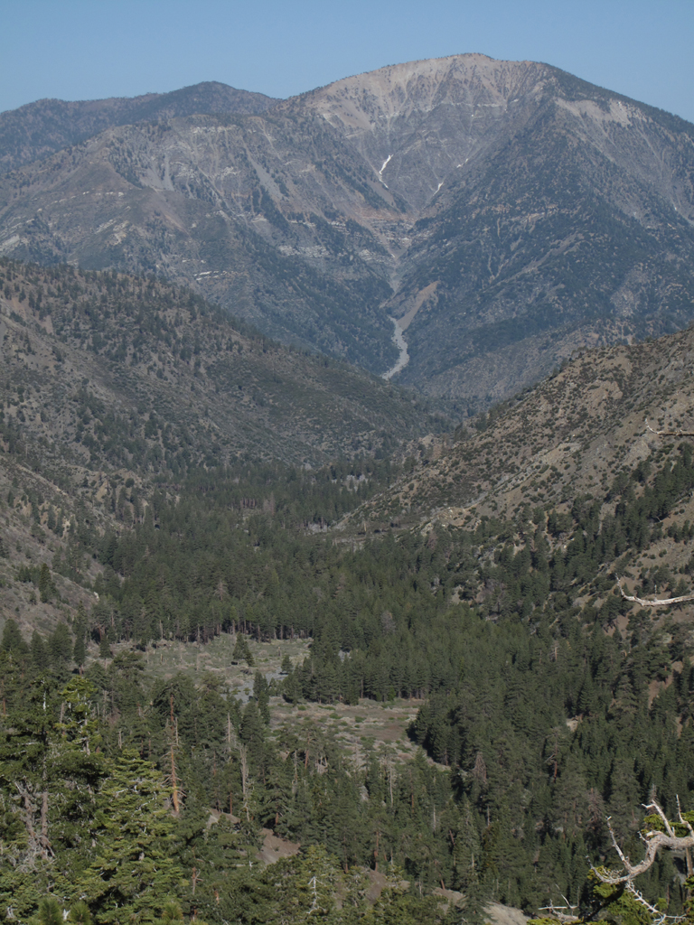
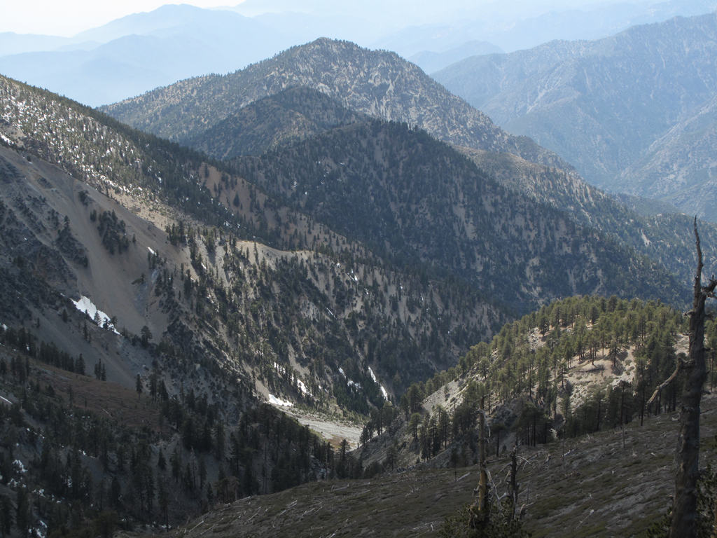
Slide area near the top of Wright Mountain.
Mount Baden-Powell and Mine Gulch seen through the morning haze.
Prairie Fork, with B-P in the background.
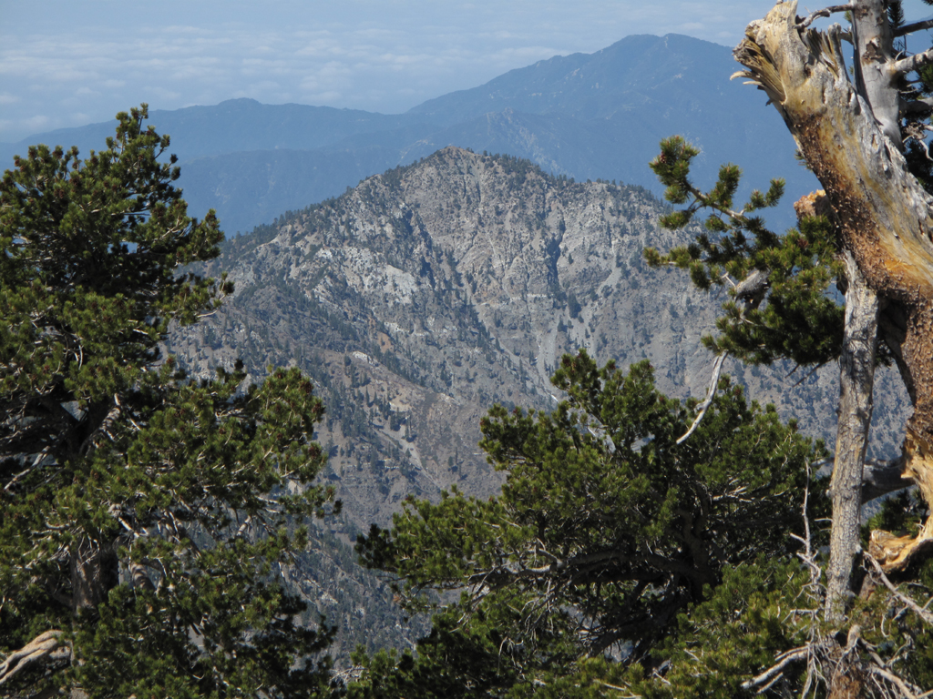
Summit of Iron Mountain.
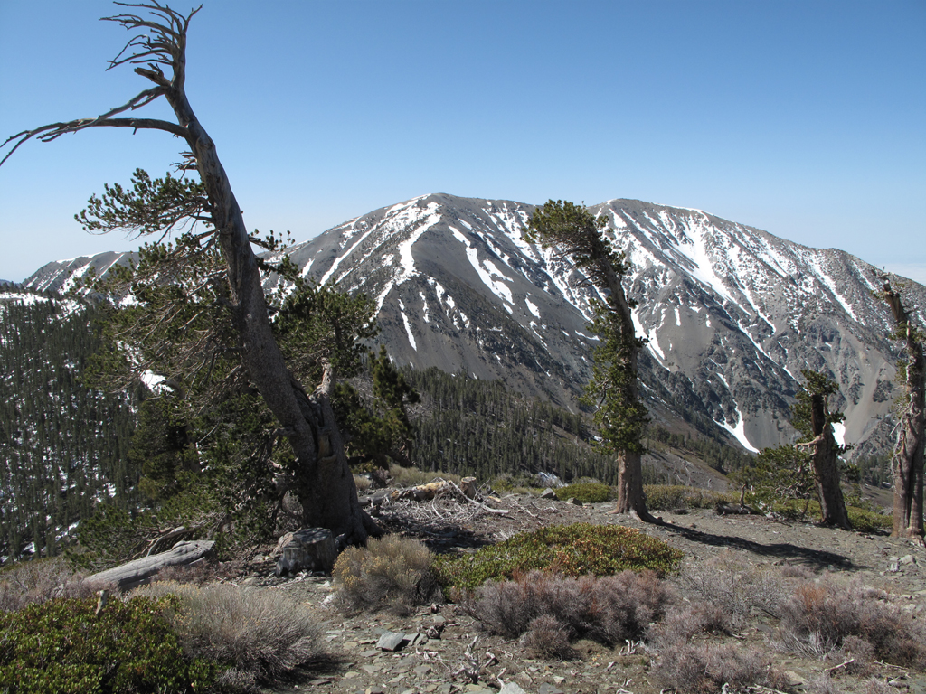
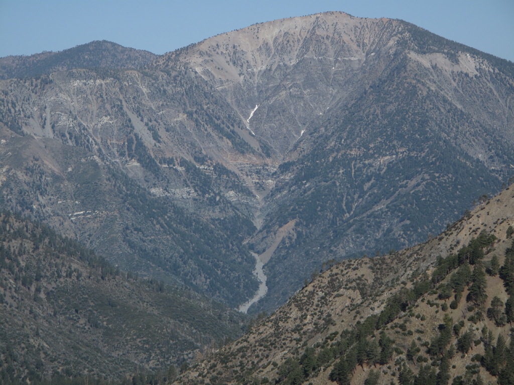
Mount San Antonio as seen from Pine Mountain. Dawson is at the extreme left of the picture.
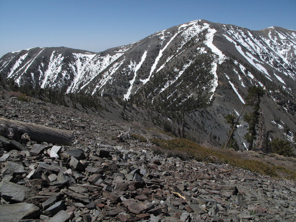
Eyeballing the ridge up Baldy from Dawson.
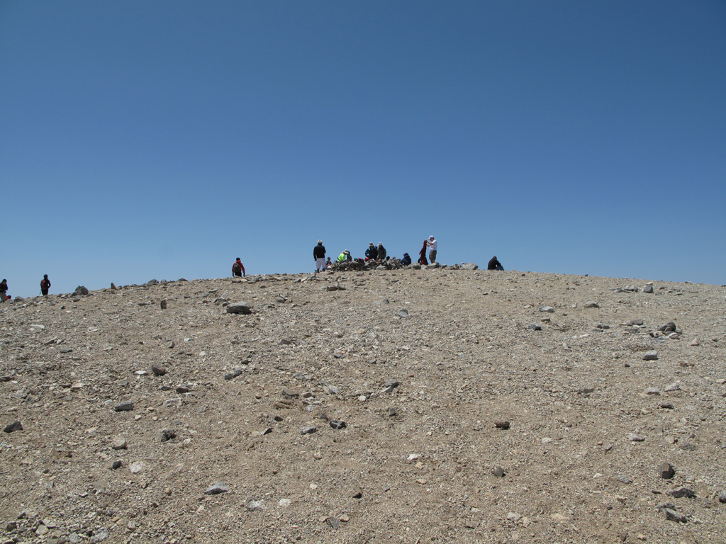
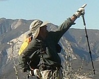
Crowd on Mount Baldy's summit.
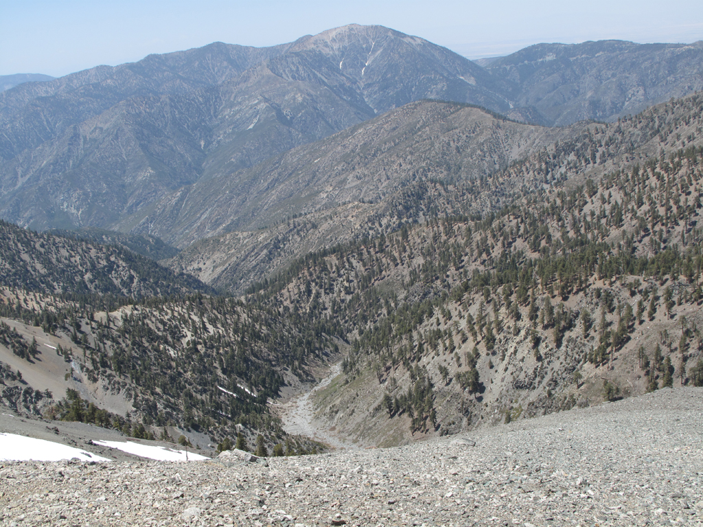
Fish Fork and Pine's long ridge.
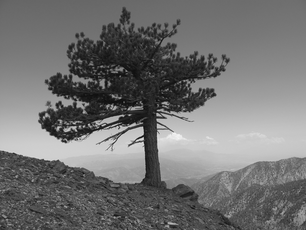
One of many prominent trees on Baldy's ridge.
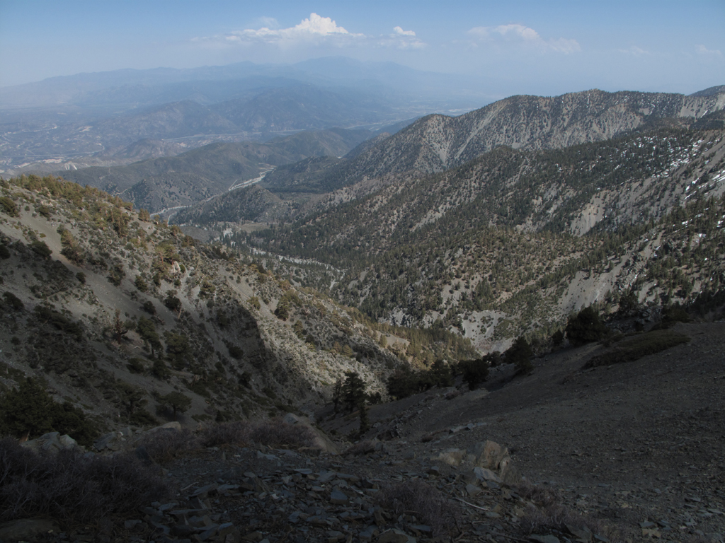
Looking down towards Stockton Flat.
Fish Fork, San Antonio Ridge and Iron Mountain.
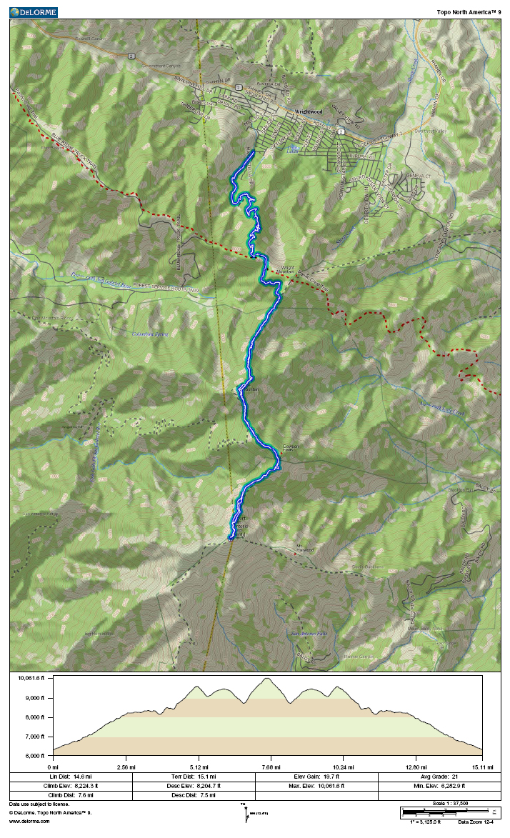
GPS track and elevation plot.